Elevation of Washboard Ln, Ridgeland, SC, USA
Location: United States > South Carolina > Jasper County > Ridgeland >
Longitude: -81.008261
Latitude: 32.5147234
Elevation: 25m / 82feet
Barometric Pressure: 101KPa
Elevation Map:
Satellite Map:
Related Photos:
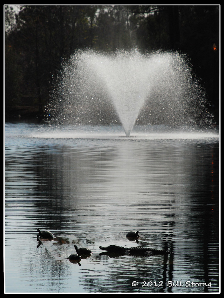
Critters and Fountain

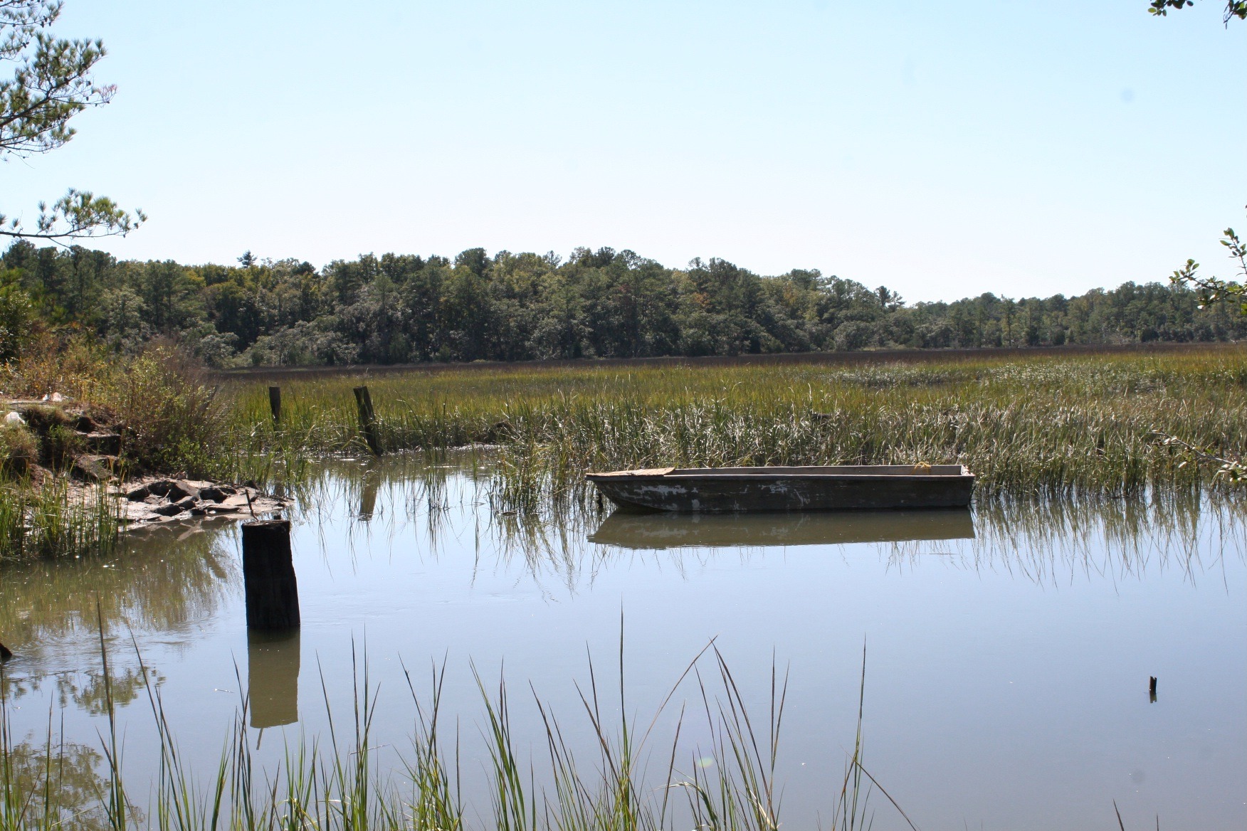
Old Abandoned boat at Euhaw Creek

Euhaw Creek Jasper County
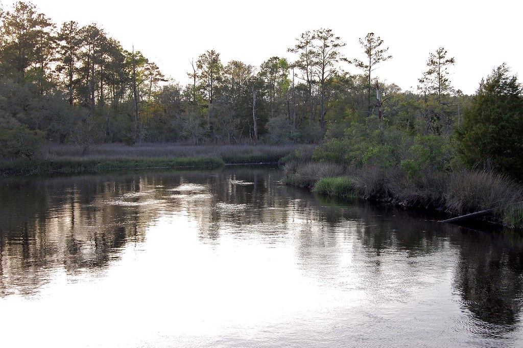
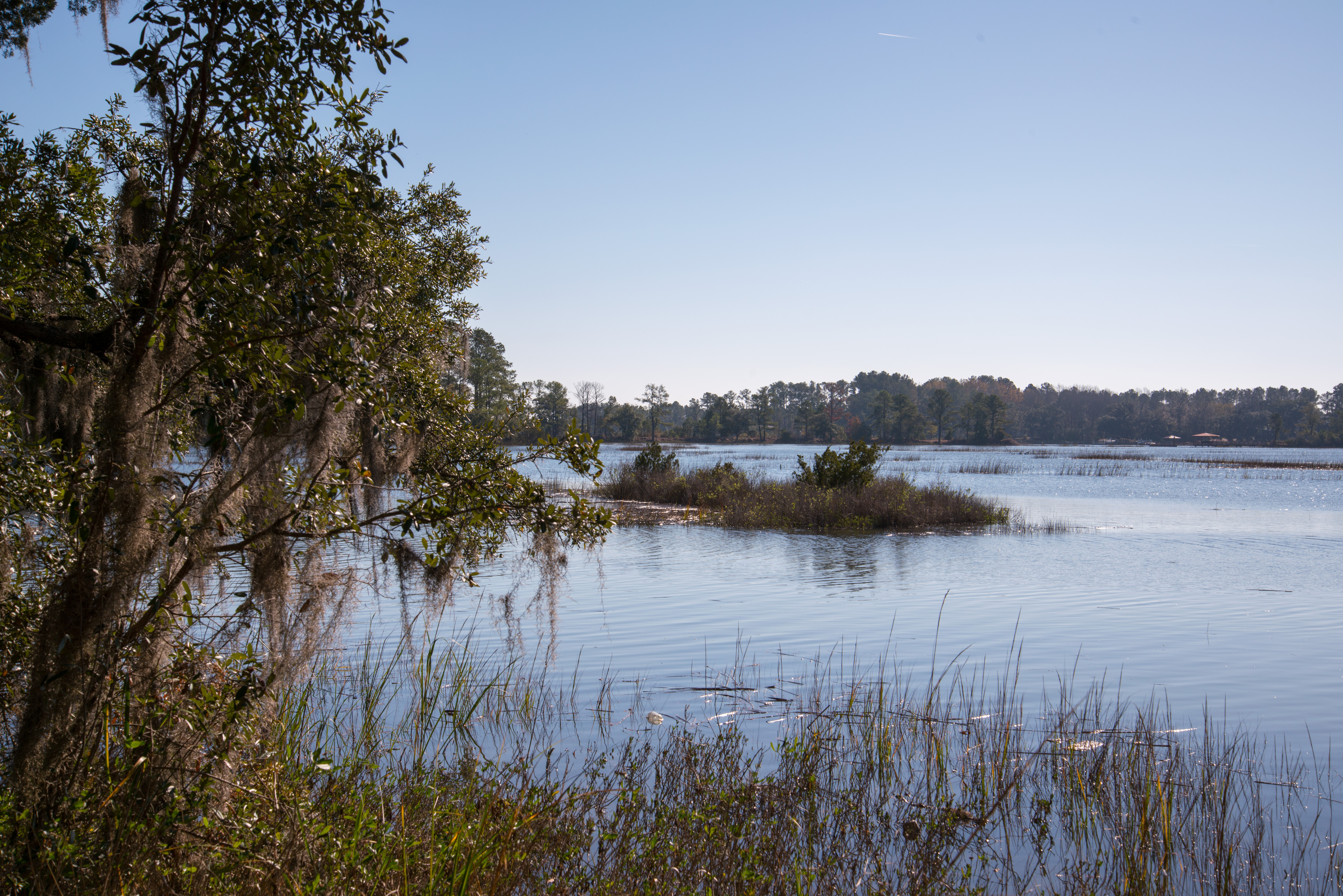
Euhaw Creek, a Tidal Creek and Marsh in Rural Jasper County South Carolina
Coosawhatchie River
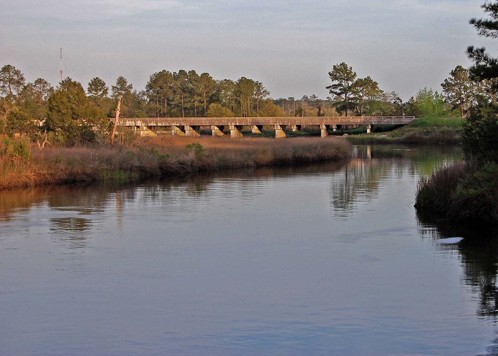
I-95 Over the Coosawhatchie

Fossil island
121214-6257 Ridgeland
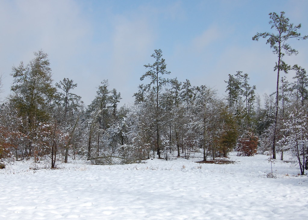
Snowy Landscape
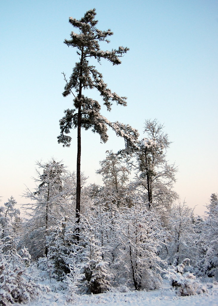
Snowy Landscape
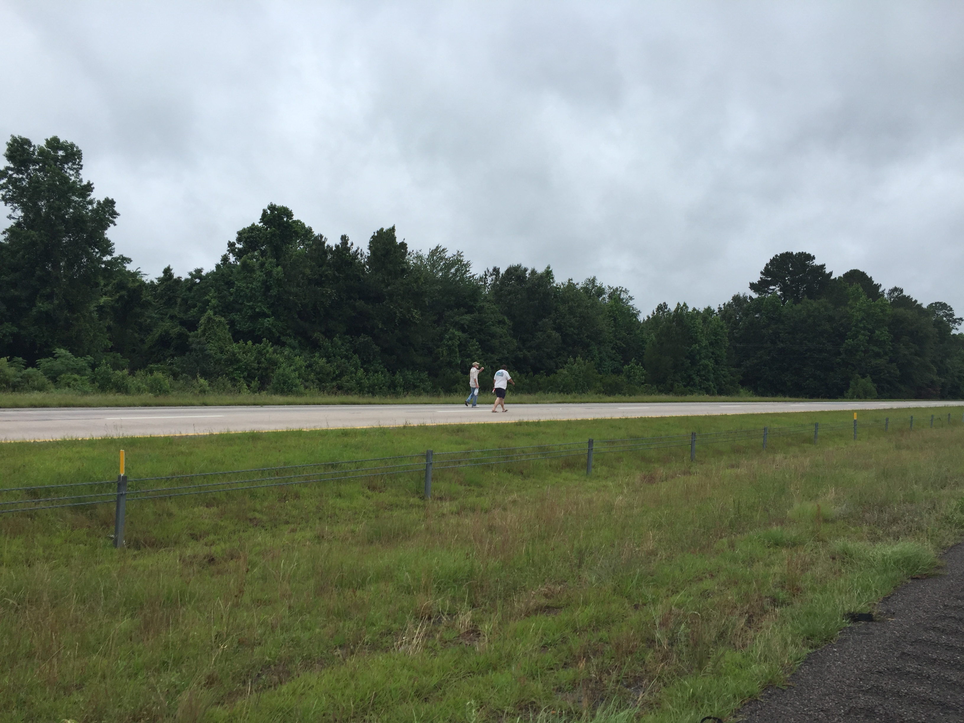
walking the interstate
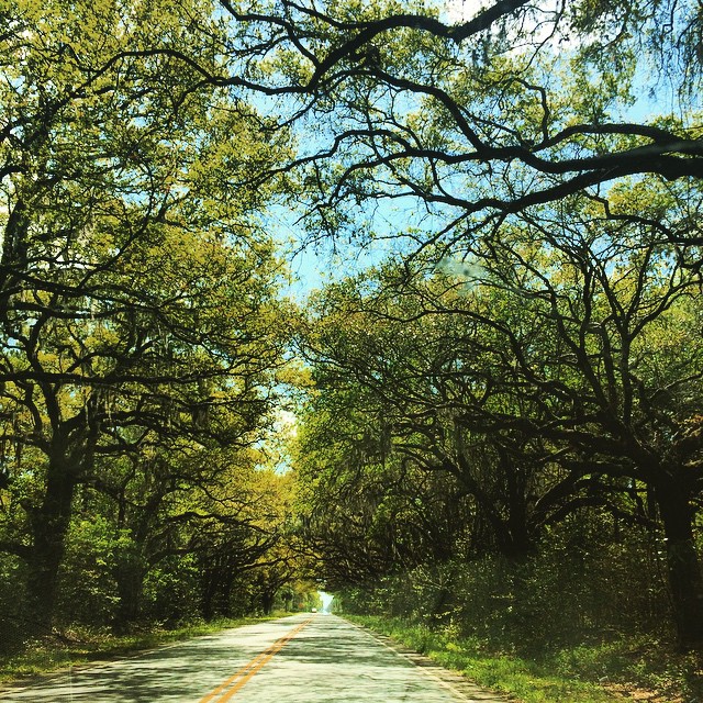
Switzerland #easter #sundaydrive
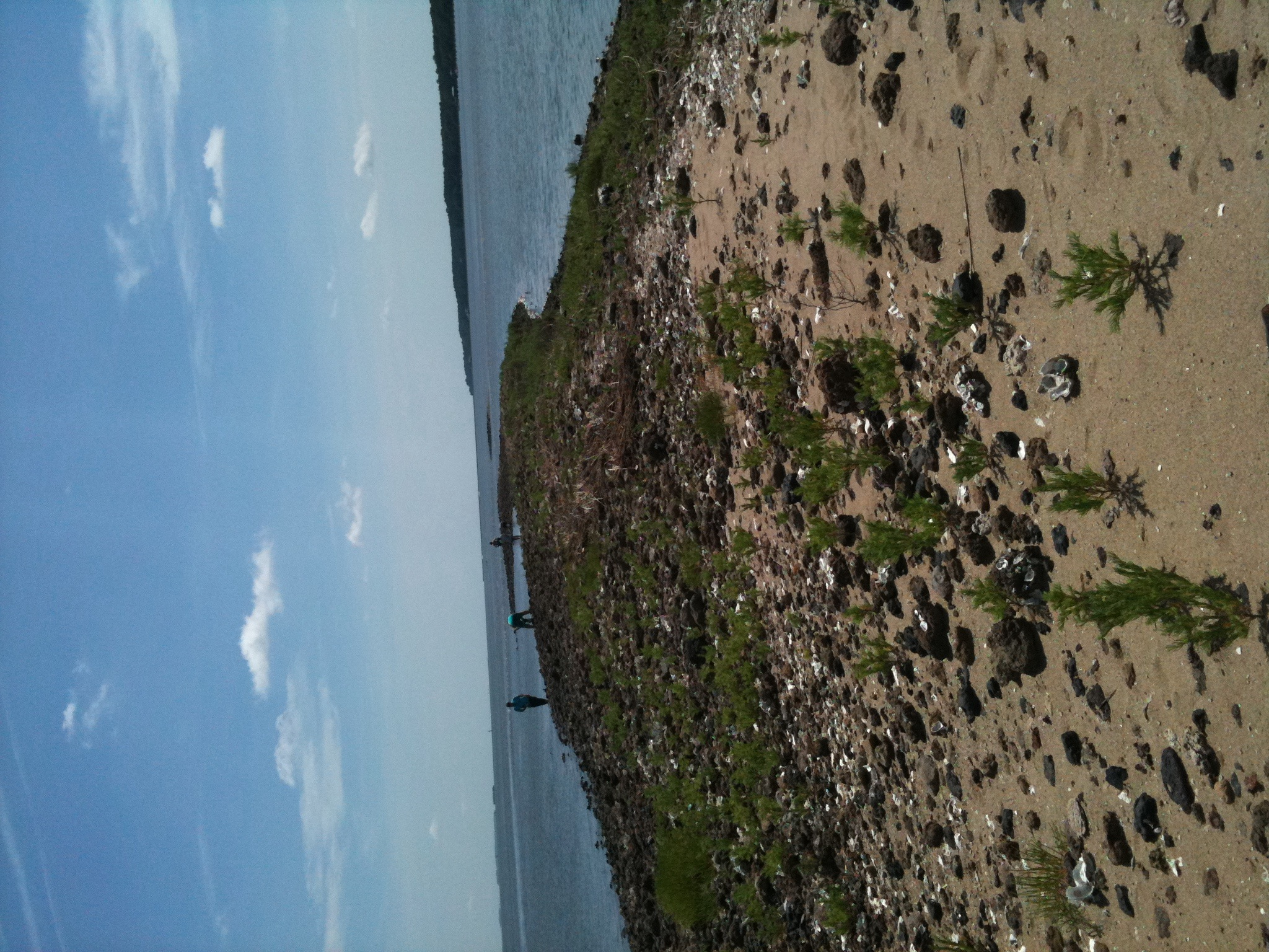
Fossil island

Snowy Landscape
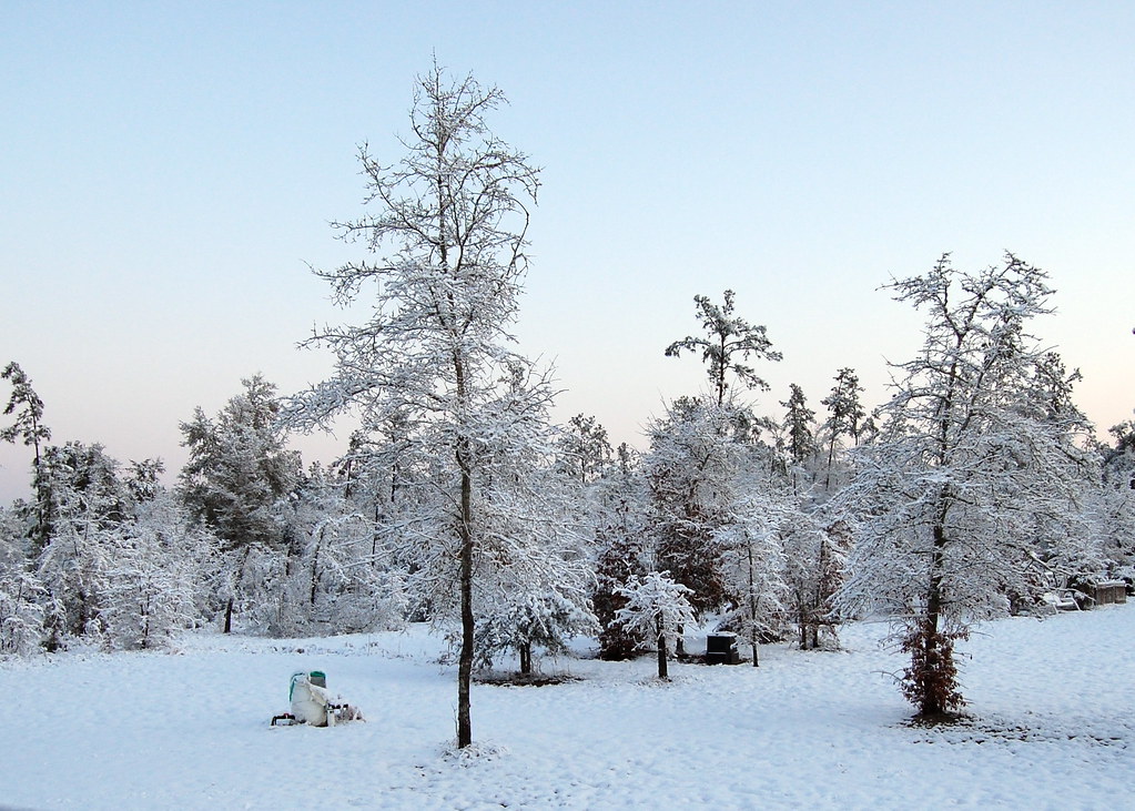
Snowy Landscape
Topographic Map of Washboard Ln, Ridgeland, SC, USA
Find elevation by address:

Places near Washboard Ln, Ridgeland, SC, USA:
Malphrus Road
112 Franklin Circle
218 Log Hall Rd
272 Log Hall Rd
Ridgeland-hardeeville High School
Ridgeland Airport-3j1
10 Airport Rd
69 2nd Ave
11577 N Jacob Smart Blvd
Ridgeland
631 Wise St
206 Forest Ave
42 State Rd S-27-, Ridgeland, SC, USA
707 Mitchellville Rd
91 Klugh Ave
16 Queens Way
Carriage Circle
925 Ridgeland Lakes Drive
2159 Bees Creek Rd
Wagon Branch Loop
Recent Searches:
- Elevation of Felindre, Swansea SA5 7LU, UK
- Elevation of Leyte Industrial Development Estate, Isabel, Leyte, Philippines
- Elevation of W Granada St, Tampa, FL, USA
- Elevation of Pykes Down, Ivybridge PL21 0BY, UK
- Elevation of Jalan Senandin, Lutong, Miri, Sarawak, Malaysia
- Elevation of Bilohirs'k
- Elevation of 30 Oak Lawn Dr, Barkhamsted, CT, USA
- Elevation of Luther Road, Luther Rd, Auburn, CA, USA
- Elevation of Unnamed Road, Respublika Severnaya Osetiya — Alaniya, Russia
- Elevation of Verkhny Fiagdon, North Ossetia–Alania Republic, Russia