Elevation of Warren St, Johnstown, PA, USA

Location: United States > Pennsylvania > Cambria County > Upper Yoder Township > Elim >

Longitude: -78.932028

Latitude: 40.2958481

Elevation: 494m / 1621feet

Barometric Pressure: 96KPa

Elevation Map:

elevation map of Warren St, Johnstown, PA, USA

Satellite Map:

Satellite map of Warren St, Johnstown, PA, USA

Related Photos:

county sky tree bird silhouette clouds photo published pentax pennsylvania profile picture pa crow cambria nowpublic johnstown corvusbrachyrhynchos americancrow k10d
American Crow - Johnstown, Pennsylvania
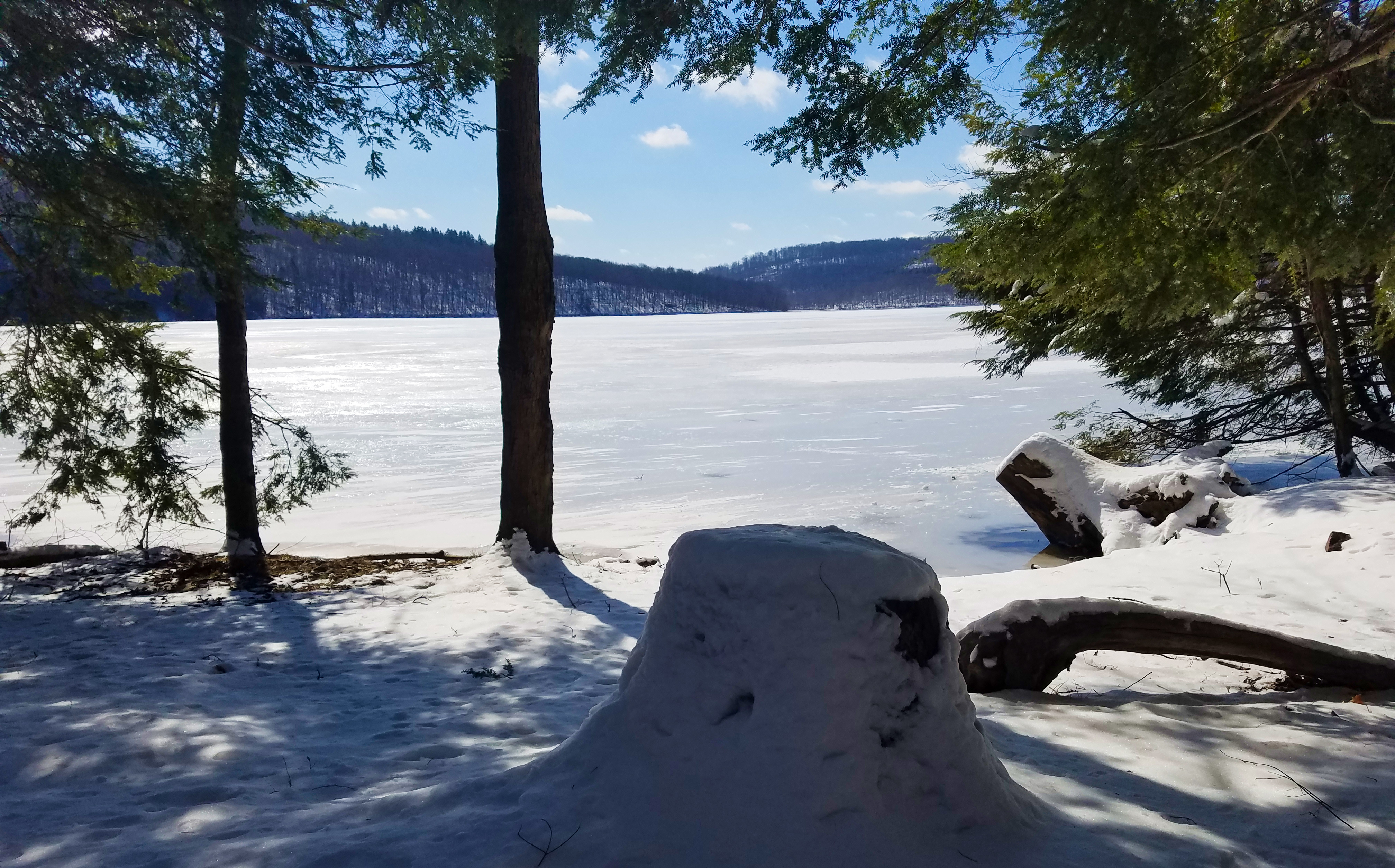
A stumped view.
unitedstates pennsylvania johnstown
Two views at once
hand frog leopardfrog
what a view!
tower church architecture religious sandstone flood pennsylvania religion gothic methodist roofline johnstown merger unitedmethodist rosewindow brethren richardsonianromanesque nationalregister cambriacounty nrhp evangelicalunitedbrethren akronplan
Johnstown, PA-- First United Methodist Church, 1910
county sign barn photo mail pentax jill pennsylvania farm picture nostalgia pa pouch americana chew cambria tobacco johnstown chewmailpouchtobacco treatyourselftothebest k10d gontkovic 0834ed1
My own Mail Pouch barn!
county bridge snow tree photo pentax pennsylvania picture somerset historic pa covered coveredbridge township johnstown truss shaffer twp conemaugh 5641 burrarch k10d benscreek
Shaffer Bridge -- Somerset County, Pennsylvania
inclinedplanejohntownpa viewofjohnstownpafromtheinclinedplane roncogswell funicular
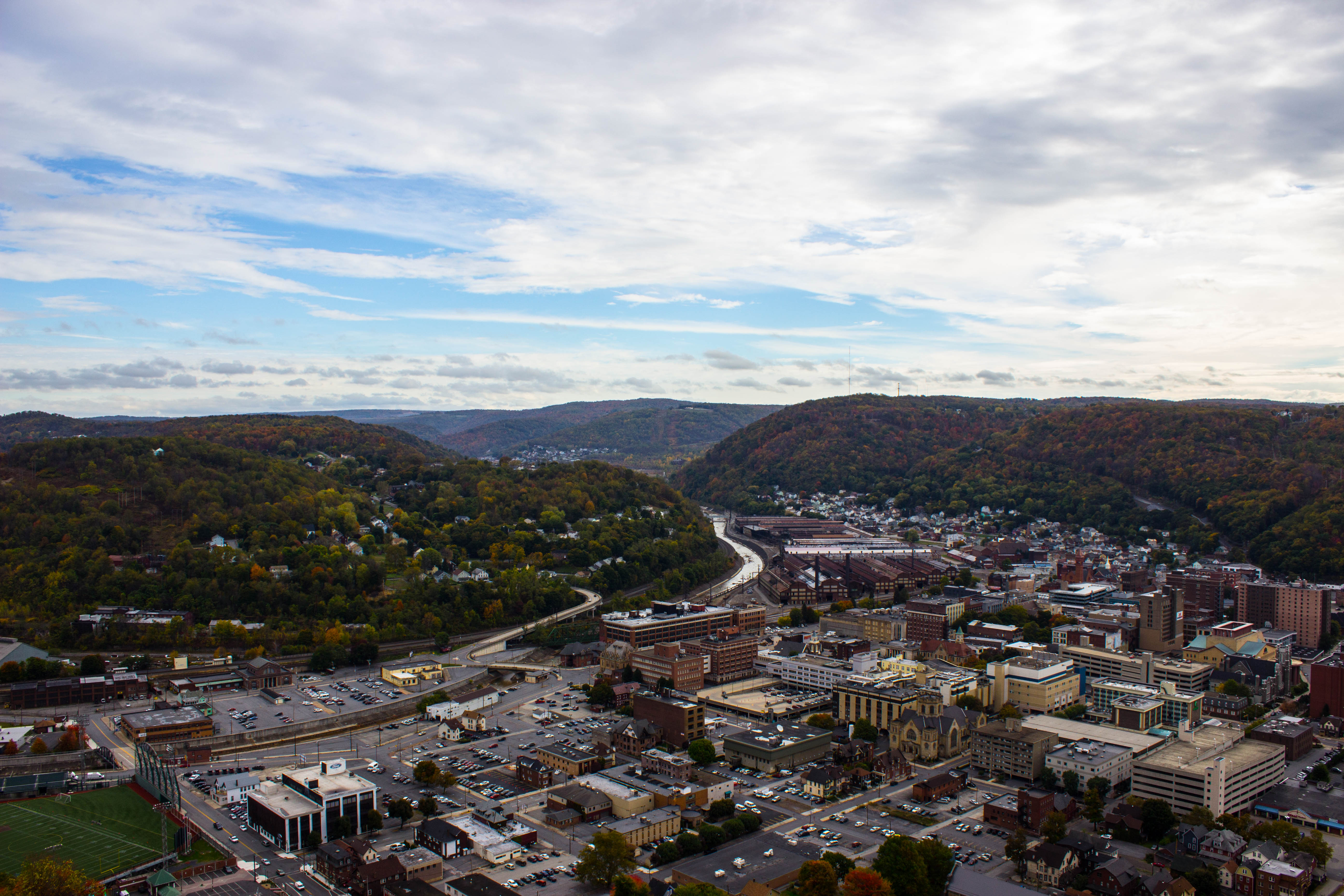
View of Johnstown (PA) from the Inclined Plane August 2017
house snow unger johnstownflood
The Unger House
theinclinedplanejohnstownpa roncogswell inclinedplanecarandsideviewjohnstownpa sideviewofaninclinedplanecarjohnstownpa johnstownpa
Inclined Plane Car And Side View Johnstown (PA) August 2017
pennsylvania pa johnstownpa inclinedplane cambriacounty cambriaironcompany viewfromthetopoftheinclinedplane cambriasteelco
Johnstown Pennsylvania, Cambria Iron Company
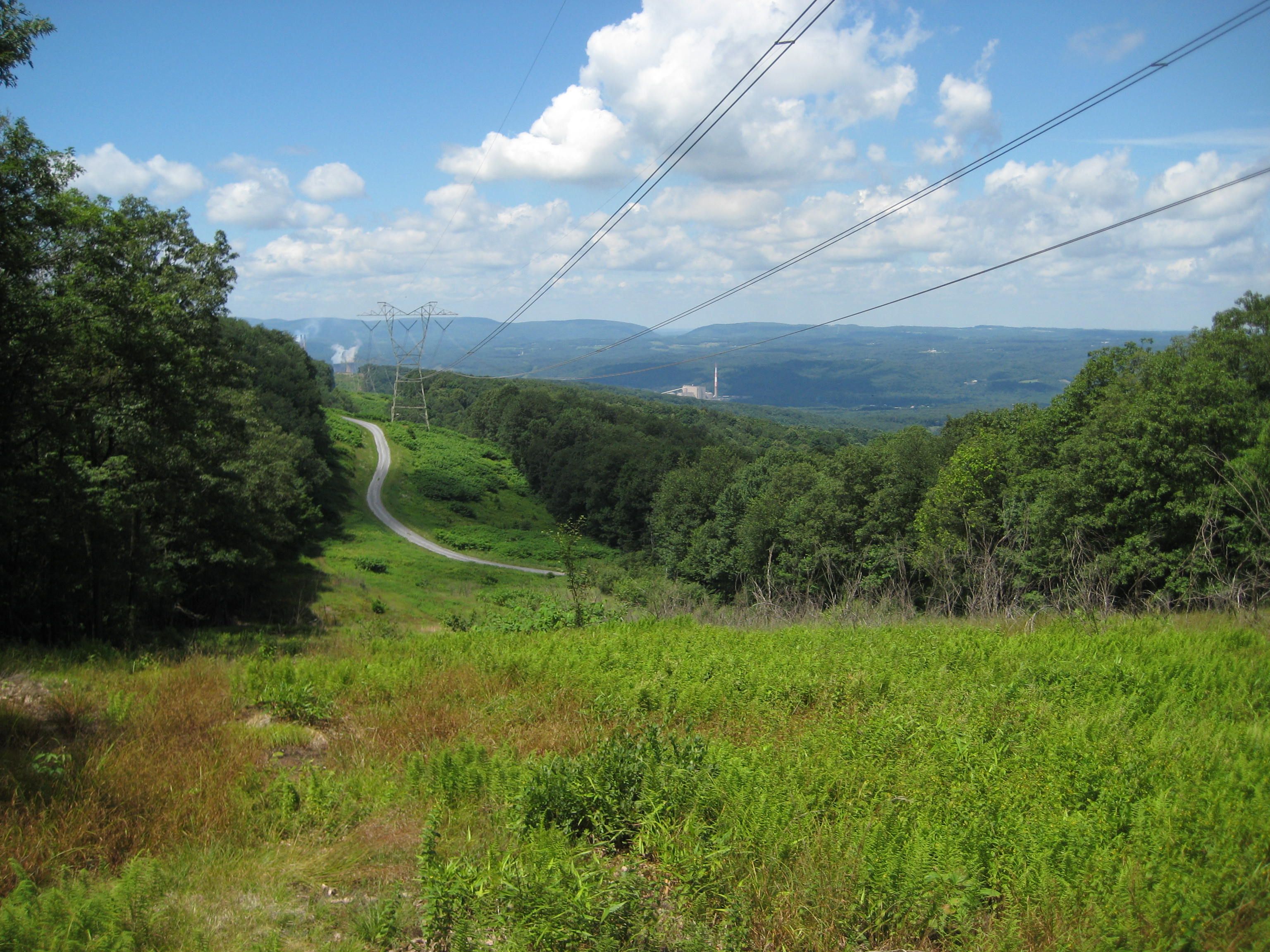
A View of the Mountains...
county winter red snow tree barn photo pentax pennsylvania farm picture somerset pa township twp conemaugh k10d 5709ed1
Soap Hollow Road Barn -- Somerset County, Pennsylvania
nps pennsylvania nationalmemorial johnstownflood
Johnstown Flood National Memorial
pennsylvania johnstown nationalregister nationalregisterofhistoricplaces cambriacounty johnstowninclinedrailway
Johnstown Inclined Plane PA
usa pennsylvania southfork johnstownflood johnstownfloodnationalmemorial lakeconemaugh littleconemaughriver railropad southforkcreek
South Fork Valley
panorama clouds buildings town unitedstates pennsylvania mining powerplant hugin windber industrialbuildings mine40 smcpa28mmf28 panoramaoutput
Mine 40 near Windber, PA
county bridge snow tree photo pentax pennsylvania picture somerset historic pa covered township johnstown truss shaffer twp conemaugh 5673 burrarch k10d benscreek
Shaffer Bridge -- Somerset County, Pennsylvania
Not Your Usual PRR Bridge Pt. 1
county tree bird photo pentax cone pennsylvania picture pa rare cambria johnstown tamarack invasive whitewinged crossbill whitewingedcrossbill loxialeucoptera 6169 k10d platinumphoto irruptive
White-winged Crossbill
fav
Chestnut Ridge
landscape design unitedstates pennsylvania decay explorer pa attractive greenplanet newflorence canoncamera canon60d garysprague explorepa conemaughpowerplant
Conemaugh Generating Station
Blue skies of Pennsylvania.
train trains emd sw7 locomotive switching shortline short line urbna steel mill rails sunrise snow cold shop conemaugh black lick cbl 104 johnstown pa pennsylvania
The Yellow Switcher
Morning Light in Pennsylvania.
pennsylvania nationalmemorial saintmichael nationalregister nationalregisterofhistoricplaces cambriacounty johnstownfloodnationalmemorial southforkdam
Johnstown Flood NM PA 3
pennsylvania nationalmemorial saintmichael nationalregister nationalregisterofhistoricplaces cambriacounty johnstownfloodnationalmemorial southforkdam
Johnstown Flood NM PA 1
pa davidsville
grandma's farm
nspittsburghline ns25z ns4134 geac44c6m
NS 25Z at South Fork, Pennsylvania on August 29, 2018
water cloudy
Hinckston Run Reservoir
city bridge abstract reflection building nature landscape design cityscape unitedstates pennsylvania decay urbandecay explorer citylife pa attractive recycle sacrifice johnstown urbanlife johnstownpa riveradventure greenplanet canoncamera historicallandmark abanoned canon60d conemaughriver garysprague betryal explorepa urbanrenewel
Conemaugh River Quest
water rock waterfall rocks 1855mm hdr photomatix mirrorless hdrextremes hdraddicted flickhdr sonynex5n paintfalls
Paint Falls Side Waterfall
usa pennsylvania southfork johnstownflood johnstownfloodnationalmemorial lakeconemaugh littleconemaughriver southforkcreek
South Fork Dam
landscape design unitedstates pennsylvania decay urbandecay explorer pa attractive greenplanet newflorence canoncamera ventureoutdoors canon60d garysprague explorepa conemaughpowerplant
The Conemaugh Generating Station deep mine water run off ponding
Quemahoning Dam
Fall leaves 2012
bridge plane buildings landscape town site flood pennsylvania small tourist pa incline johnstown
Looking out at johnstown pa
square squareformat iphoneography instagramapp uploaded:by=instagram
Such a beautiful town...been destroyed 3x by floods. We visited the Flood Museum and the site where the damn was today. Pretty tragic but very insightful. #JohnstownPA #JohnstownFlood
Fog in the Valley....
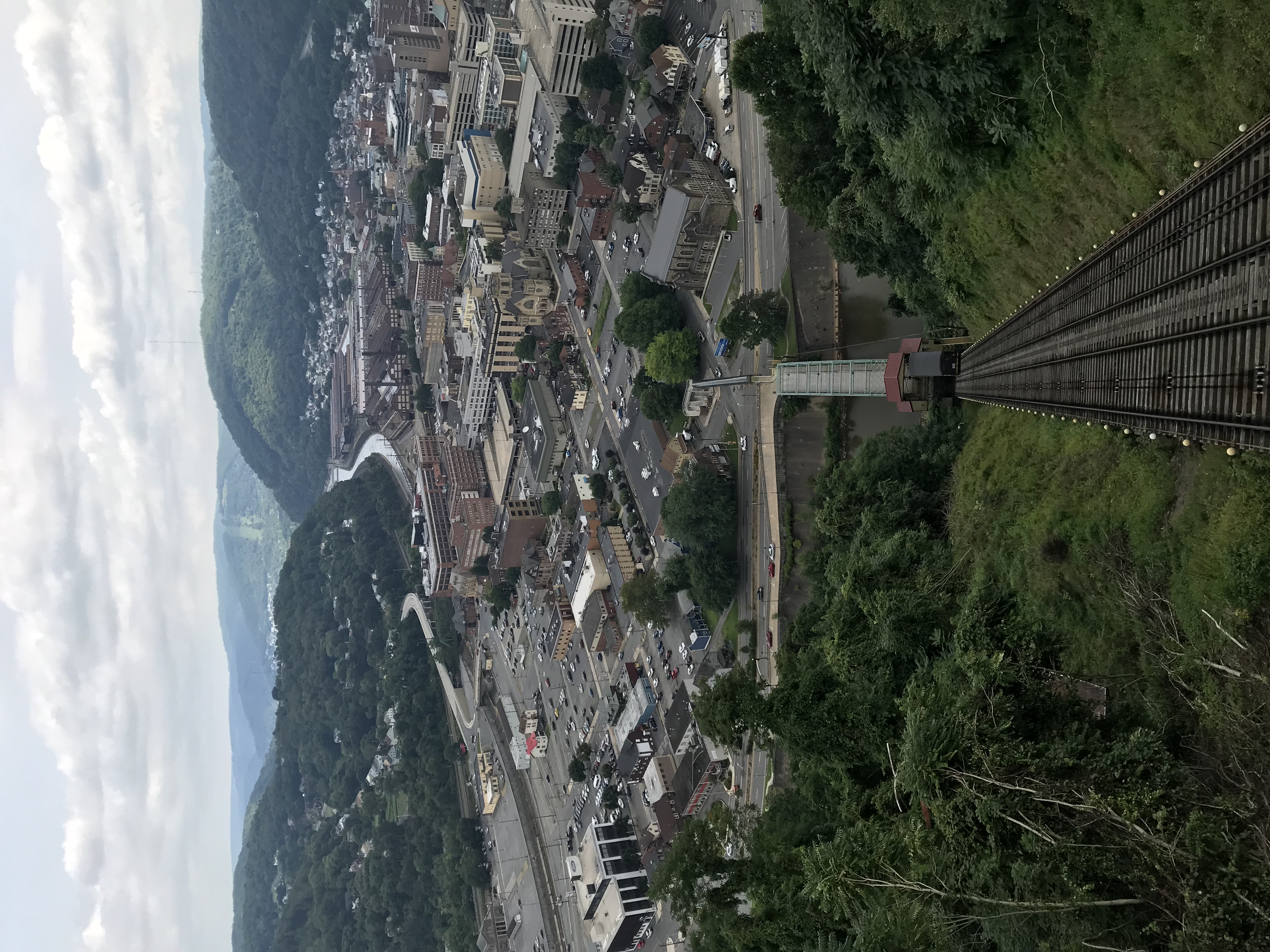
Photo Aug 10, 12 02 36 (1)
Unger House and What was Once Lake Conemaugh, Johnstown Flood Memorial, South Fork, Pennsylvania, July 2017