Elevation of Warnes, Bolivia
Location: Bolivia > Santa Cruz Department > Ignacio Warnes >
Longitude: -63.167866
Latitude: -17.522774
Elevation: 341m / 1119feet
Barometric Pressure: 97KPa
Elevation Map:
Satellite Map:
Related Photos:
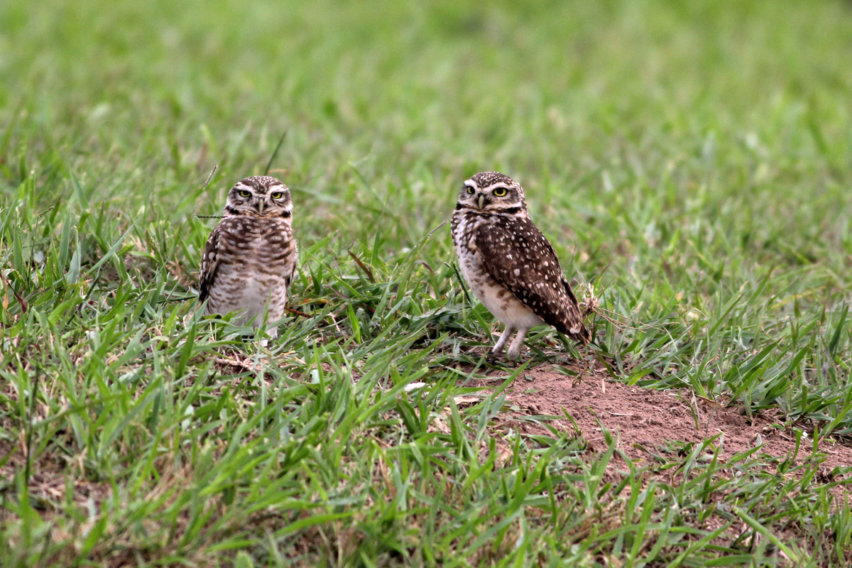
Burrowing Owl (Athene cunicularia)
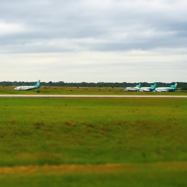
#nofilter #plane #avion
Topographic Map of Warnes, Bolivia
Find elevation by address:

Places near Warnes, Bolivia:
Estadio Samuel Vaca Jimenez
Almería
Amboro Eco Resort
Ignacio Warnes
Isoso
Doña Dora
Estadio Ramon Tahuichi
Estación Argentina
San Juan
Santa Cruz De La Sierra
La Esperanza
Campo Dulce
Minero
Recent Searches:
- Elevation of Fern Rd, Whitmore, CA, USA
- Elevation of 62 Abbey St, Marshfield, MA, USA
- Elevation of Fernwood, Bradenton, FL, USA
- Elevation of Felindre, Swansea SA5 7LU, UK
- Elevation of Leyte Industrial Development Estate, Isabel, Leyte, Philippines
- Elevation of W Granada St, Tampa, FL, USA
- Elevation of Pykes Down, Ivybridge PL21 0BY, UK
- Elevation of Jalan Senandin, Lutong, Miri, Sarawak, Malaysia
- Elevation of Bilohirs'k
- Elevation of 30 Oak Lawn Dr, Barkhamsted, CT, USA