Elevation of Warner Drive, Warner Dr, Cascade, ID, USA
Location: United States > Idaho > Valley County > Cascade >
Longitude: -115.97085
Latitude: 44.4931142
Elevation: 1470m / 4823feet
Barometric Pressure: 85KPa
Elevation Map:
Satellite Map:
Related Photos:
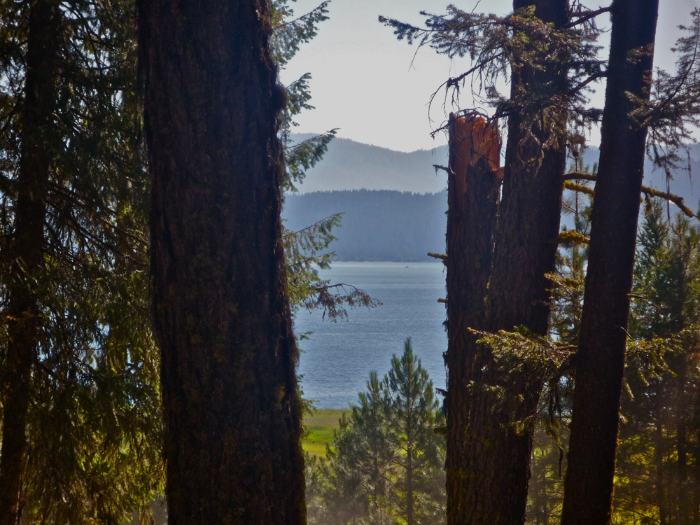
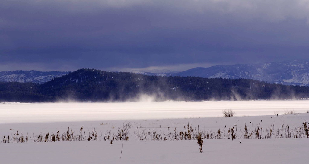
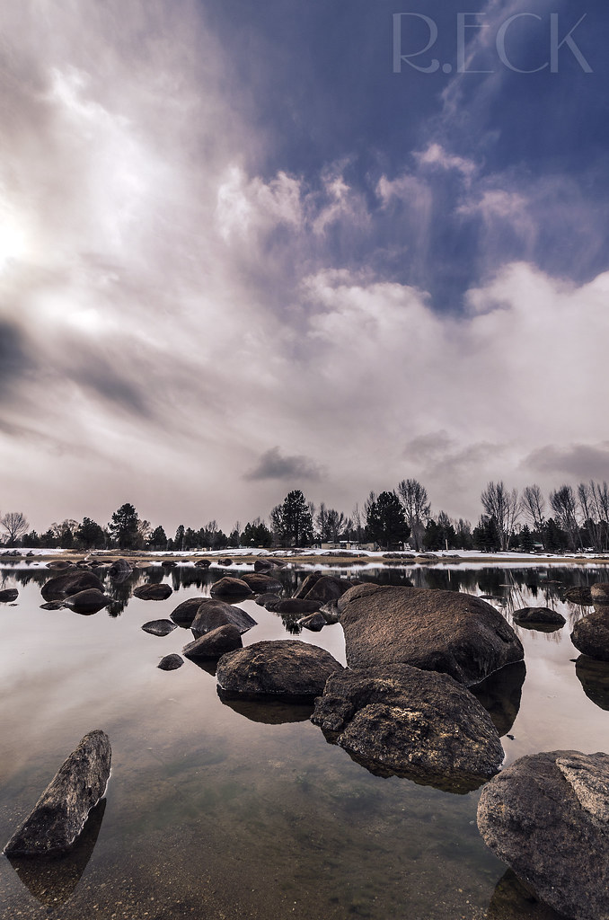
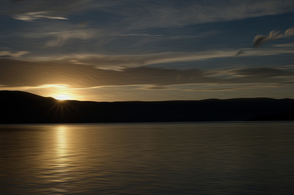
Lake Cascade

Lake Cascade

The road to nowhere

Hazy Fall Afternoon

On top of Cascade dam

A Cascade summer
photo(rx2y)
Abandoned, II
Abandoned, III
Cascade Lake
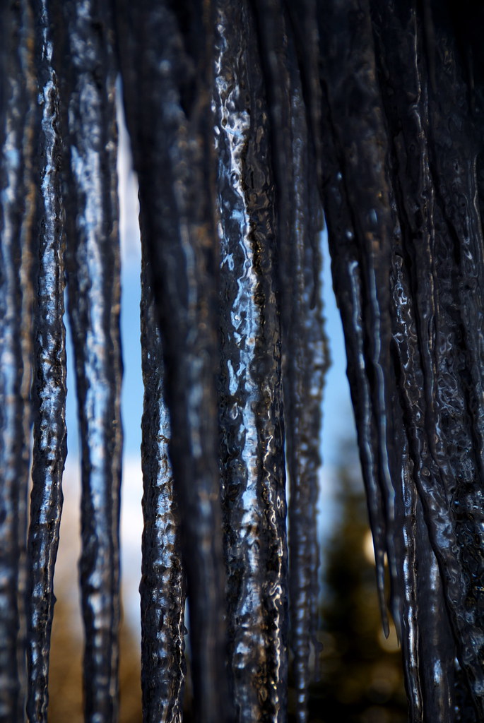
Ice Ice Baby!
Cascade Lake
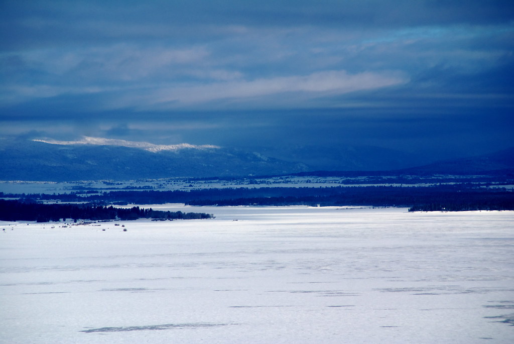
Winter on West Mountain
Lake Cascade
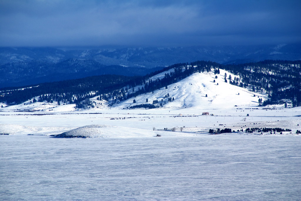
Winter on West Mountain

Shooting Star (Dodecatheon pulchellum) 02
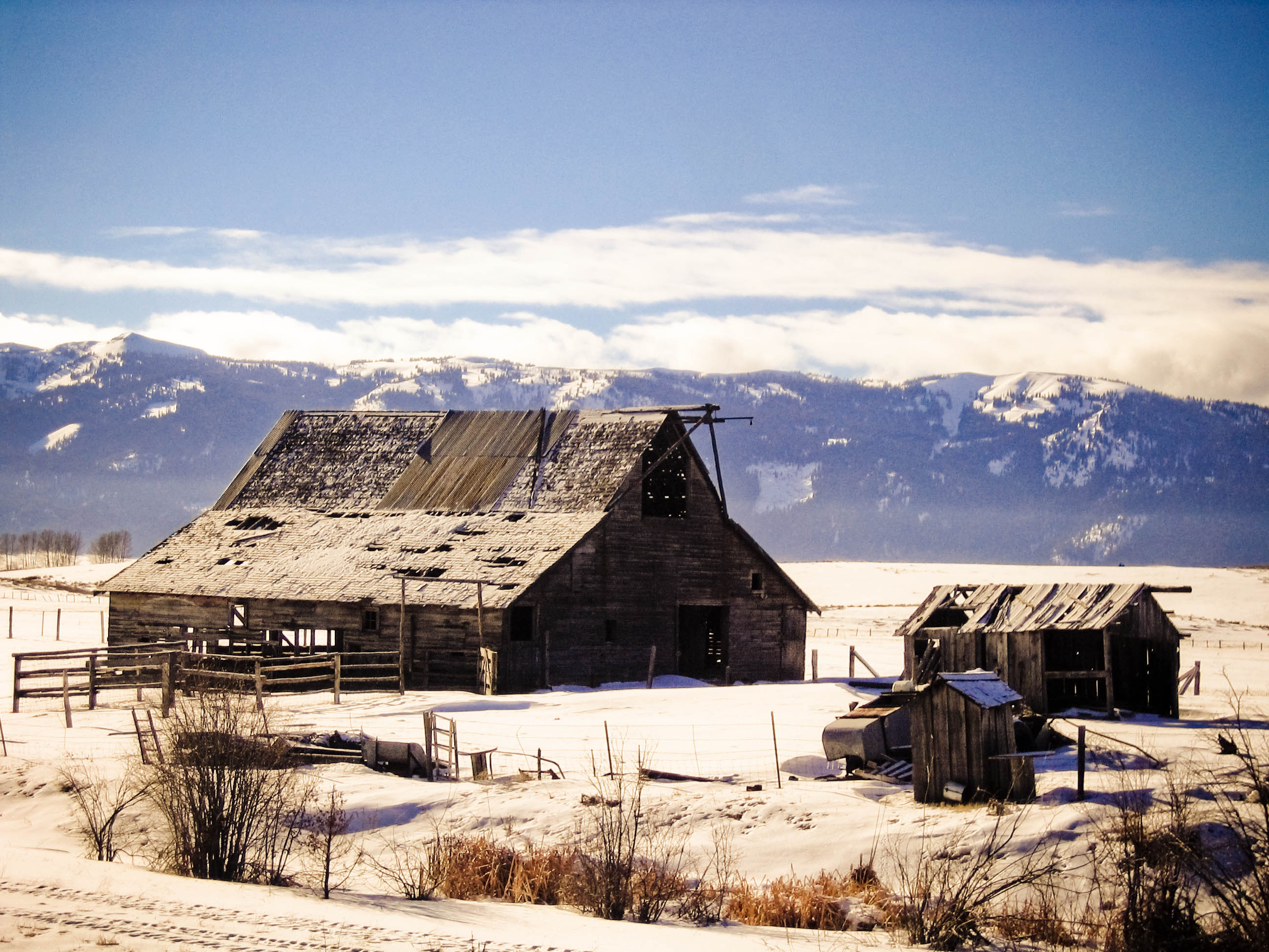
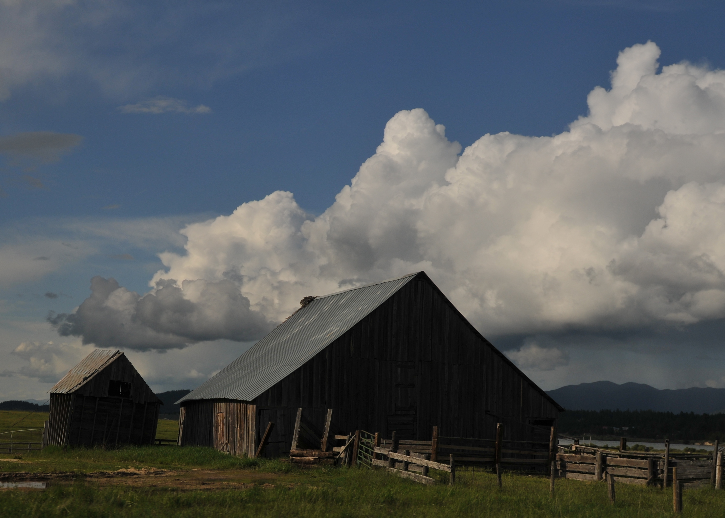
Falling apart

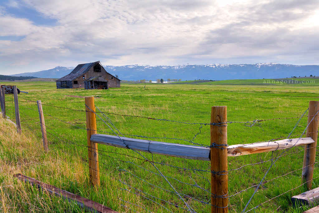
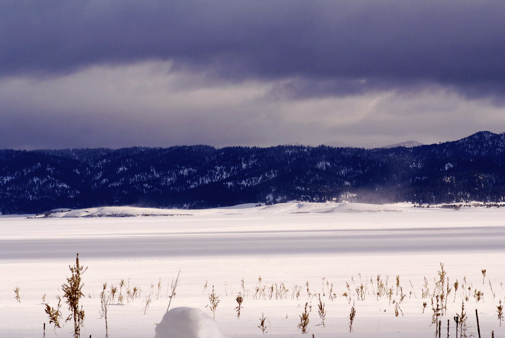
Low lying ground
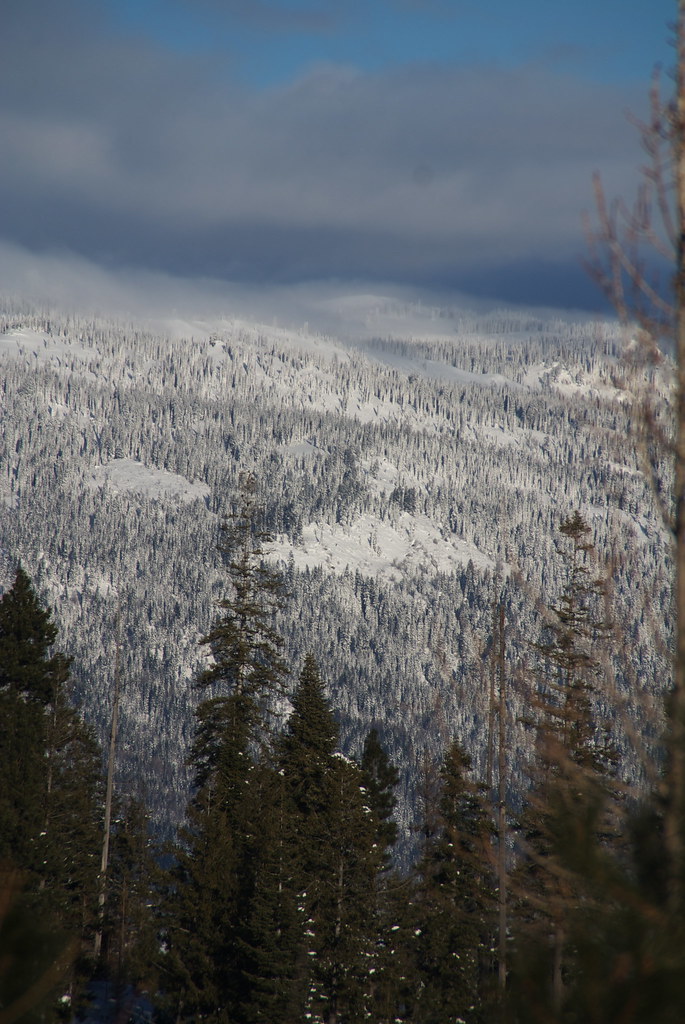
Winter on West Mountain
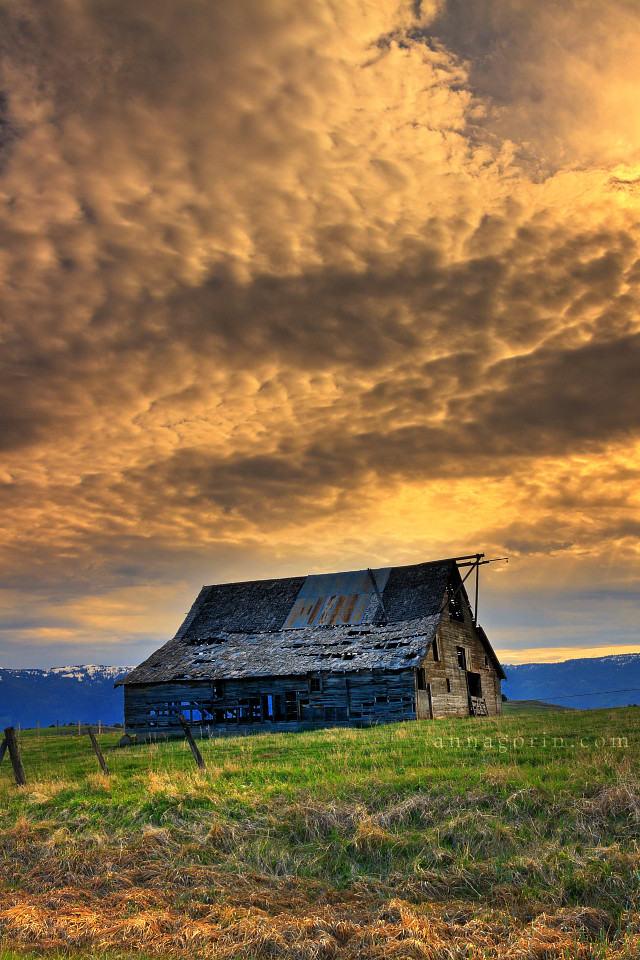
Fading Light

North Fork of the Payette River 2- side stream

Waiting on the ice
Topographic Map of Warner Drive, Warner Dr, Cascade, ID, USA
Find elevation by address:

Places near Warner Drive, Warner Dr, Cascade, ID, USA:
90 Goslin Loop
109 Cabarton Rd
Cascade
Shepherd-the Mountain Lutheran
ID-55, Cascade, ID, USA
96 Little Donner Dr
96 Little Donner Dr
Donnelly
13161 Cameron Dr
13218 Brookie Rd
13238 Brookie Rd
Perch Court
13240 Kokanee Dr
13211 Brookie Rd
Brookie Road
Brookie Road
13239 Kokanee Dr
54 Scheline Ln
Forest Trail Road
690 High Valley Rd
Recent Searches:
- Elevation of Falling Spring Rd, Clyde, NC, USA
- Elevation of Kingsfield St, Castle Rock, CO, USA
- Elevation of AMELIA CT HSE, VA, USA
- Elevation of Abbey Dr, Virginia Beach, VA, USA
- Elevation of Brooks Lp, Spearfish, SD, USA
- Elevation of Panther Dr, Maggie Valley, NC, USA
- Elevation of Jais St - Wadi Shehah - Ras al Khaimah - United Arab Emirates
- Elevation of Shawnee Avenue, Shawnee Ave, Easton, PA, USA
- Elevation of Scenic Shore Dr, Kingwood Area, TX, USA
- Elevation of W Prive Cir, Delray Beach, FL, USA