Elevation of Warneford R, Peace River B, BC V0C, Canada
Location: Canada > British Columbia > Peace River > Peace River B >
Longitude: -125.52944
Latitude: 57.7163888
Elevation: 1658m / 5440feet
Barometric Pressure: 83KPa
Elevation Map:
Satellite Map:
Related Photos:

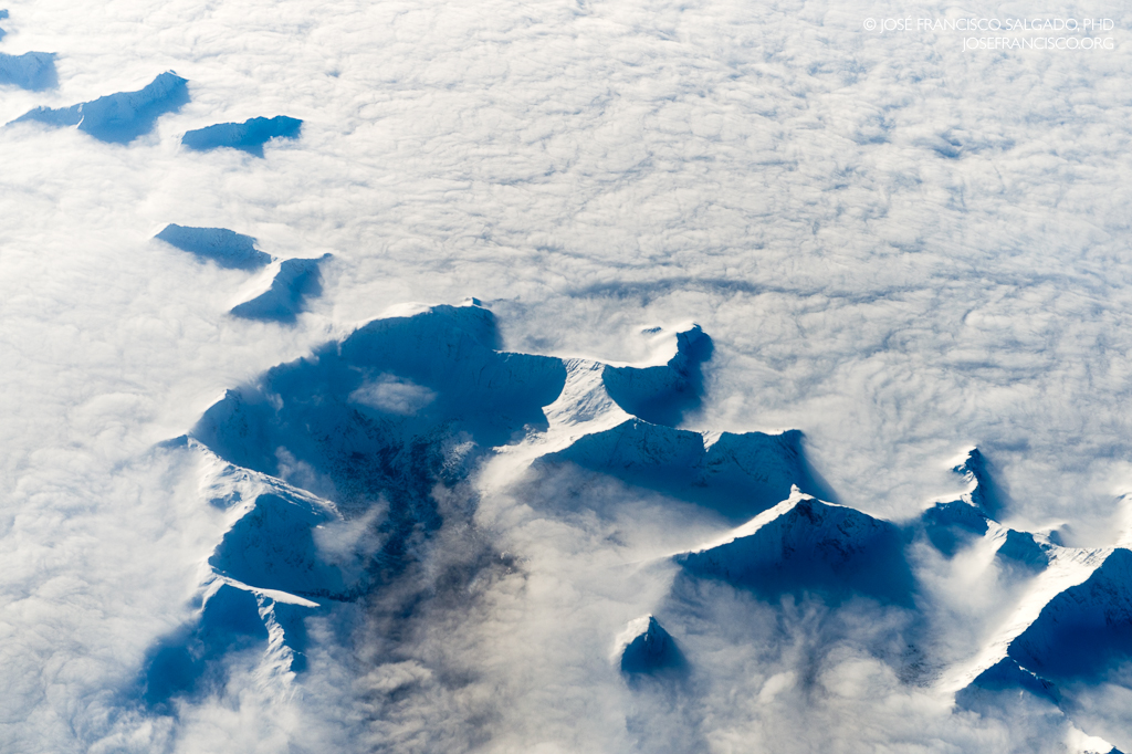
Islands in a sea of clouds
Finlay-Russel Provincial Park and Protected Area
Topographic Map of Warneford R, Peace River B, BC V0C, Canada
Find elevation by address:

Places near Warneford R, Peace River B, BC V0C, Canada:
Gataga Peak
Toad River Lodge Ltd
Toad River
Muncho Lake Provincial Park
Muncho Lake
Nonda Peak
Northern Rockies B
East Rabbit R; Otelsas Cr
Recent Searches:
- Elevation of Corso Fratelli Cairoli, 35, Macerata MC, Italy
- Elevation of Tallevast Rd, Sarasota, FL, USA
- Elevation of 4th St E, Sonoma, CA, USA
- Elevation of Black Hollow Rd, Pennsdale, PA, USA
- Elevation of Oakland Ave, Williamsport, PA, USA
- Elevation of Pedrógão Grande, Portugal
- Elevation of Klee Dr, Martinsburg, WV, USA
- Elevation of Via Roma, Pieranica CR, Italy
- Elevation of Tavkvetili Mountain, Georgia
- Elevation of Hartfords Bluff Cir, Mt Pleasant, SC, USA