Elevation map of Wardha, Maharashtra, India
Location: India > Maharashtra >
Longitude: 78.5660852
Latitude: 20.8049123
Elevation: 293m / 961feet
Barometric Pressure: 98KPa
Elevation Map:
Satellite Map:
Related Photos:
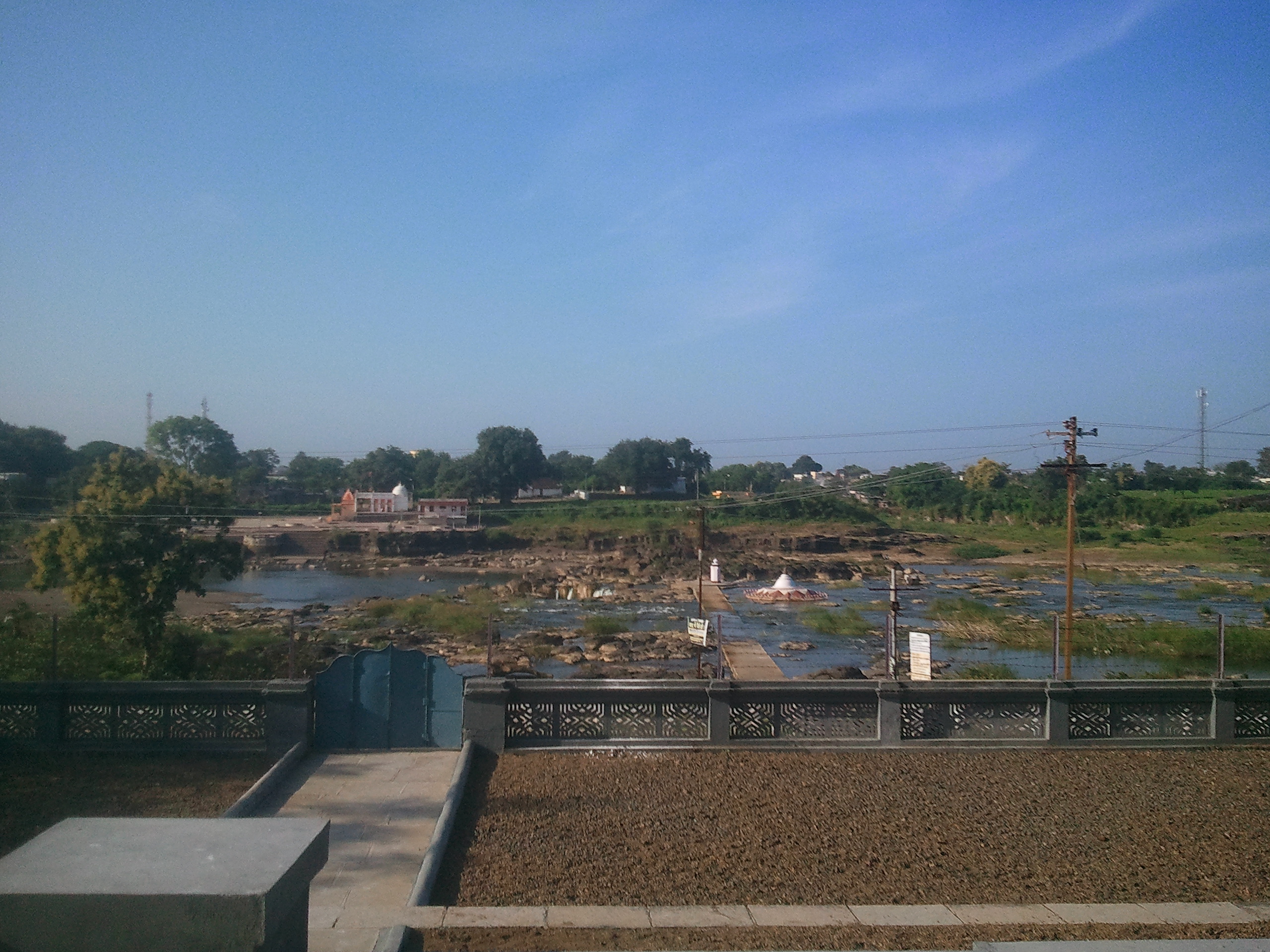
A view from Brahmavidya Mandir Ashram, Pavnar
Brahmavidya Mandir Ashram, Pavnar

Miles to go...a new city, an exciting wedding and some great sight seeing trip to follow. All geared up :)
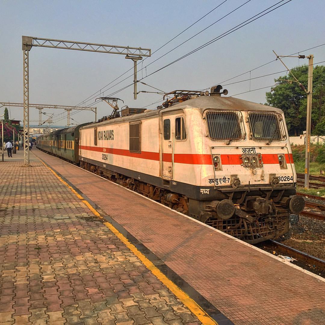
#AJNI #WAP7 #30264 #PUNE #NAGPUR #garibrath #wardha #India #iPhone #iphonephotography #igers #Indianrailway #heavymachine #3phaser #heavymachine

Artistic Bell..

Mukku..

Green Bee Eater..

Life is a journey! #travel
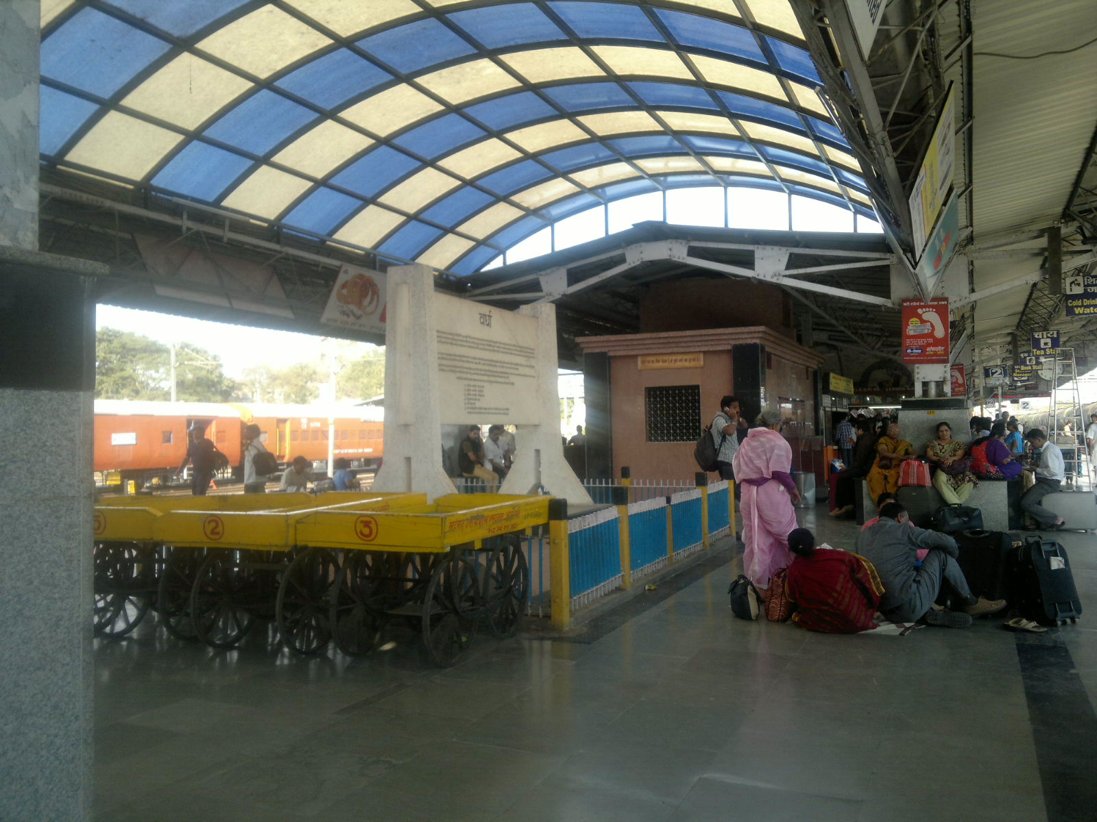
Wardha Railway station 30th January 2014
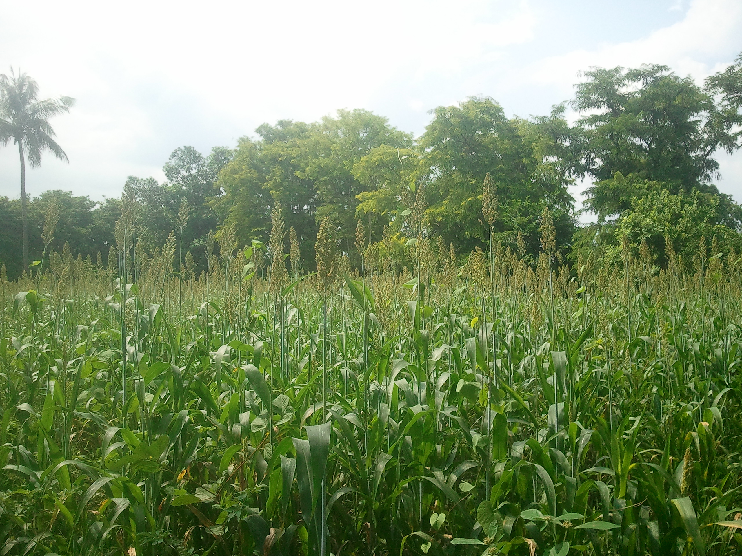
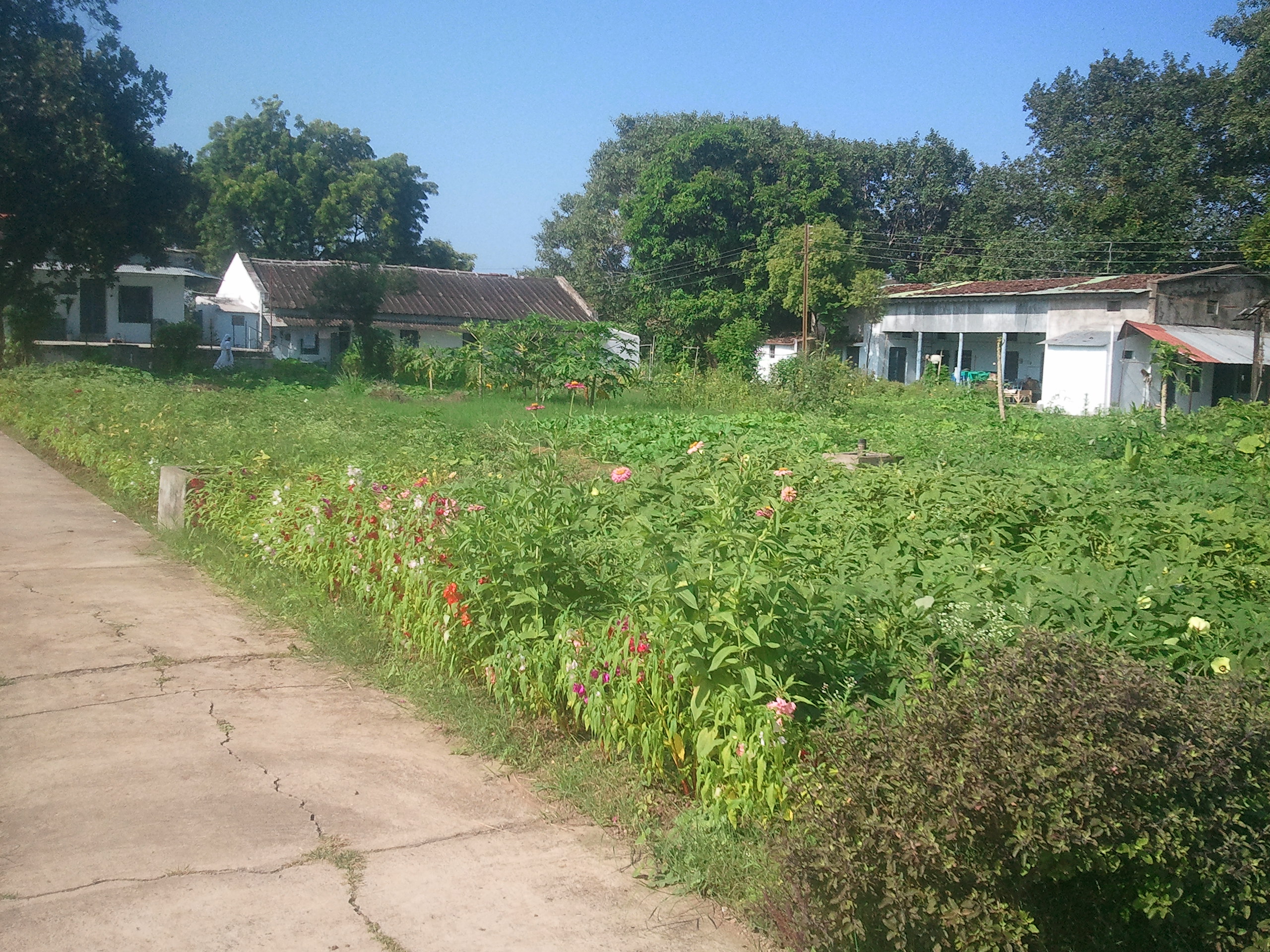
Enroute Pavnar
Enroute Pavnar
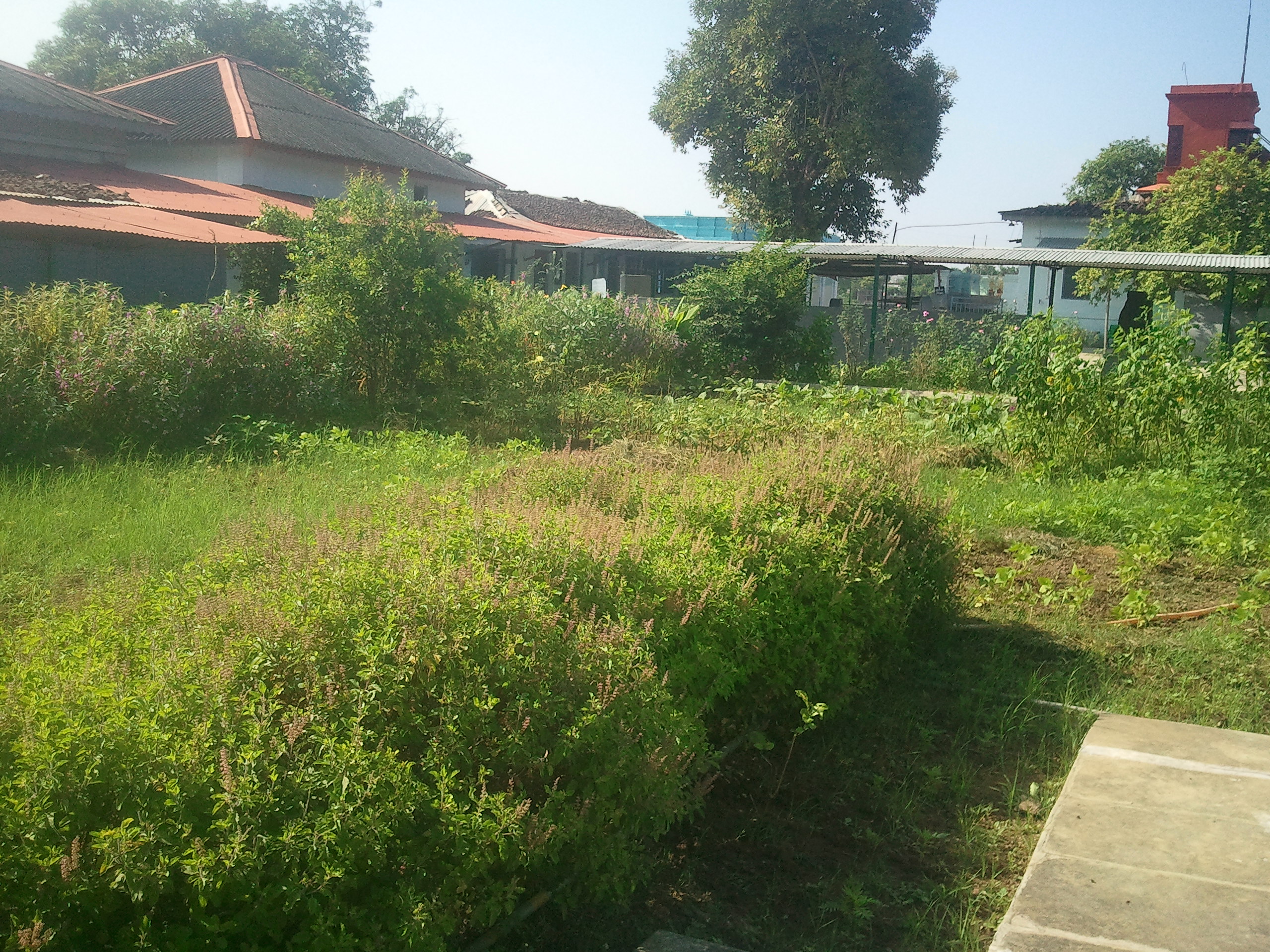
Enroute Pavnar
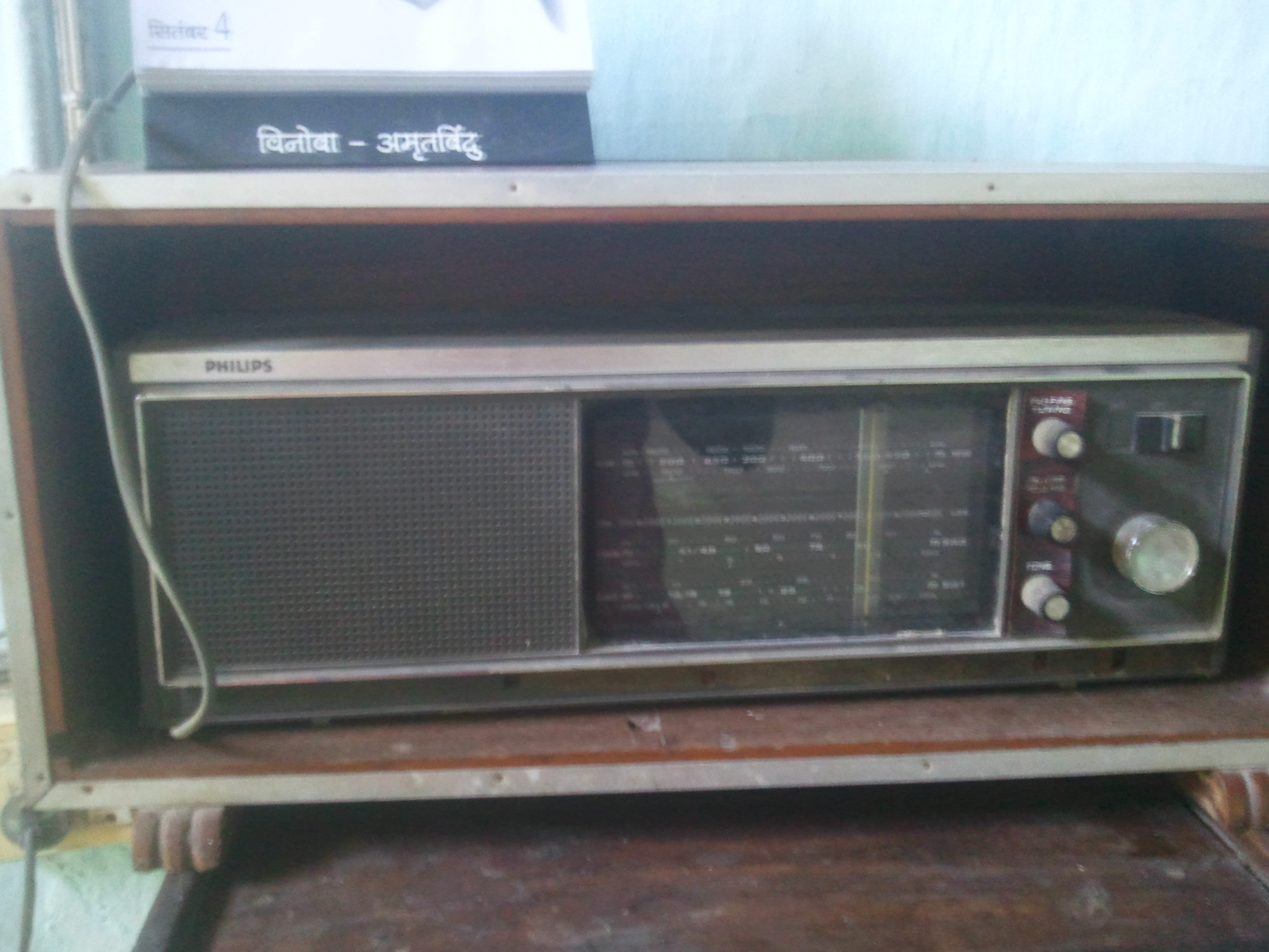
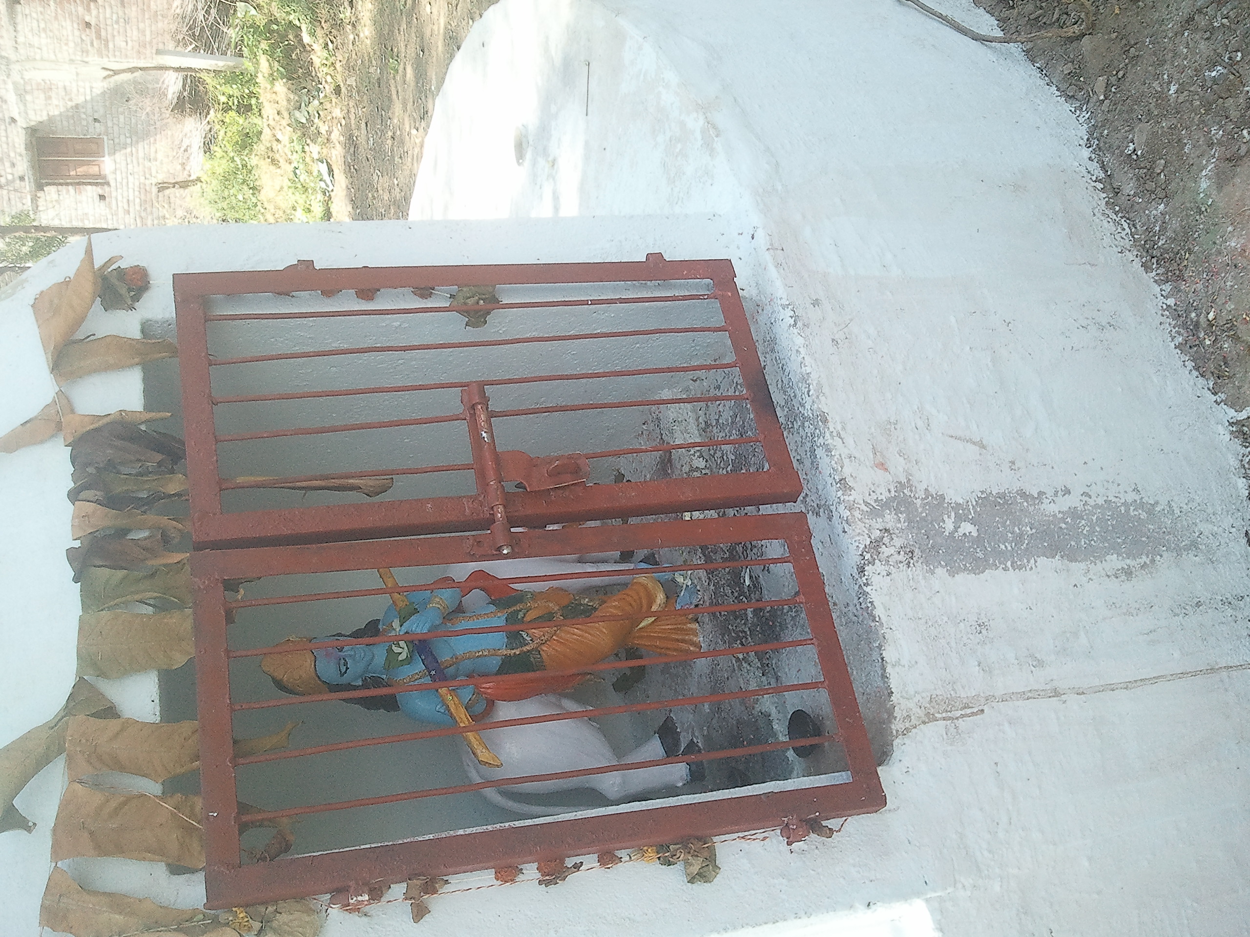
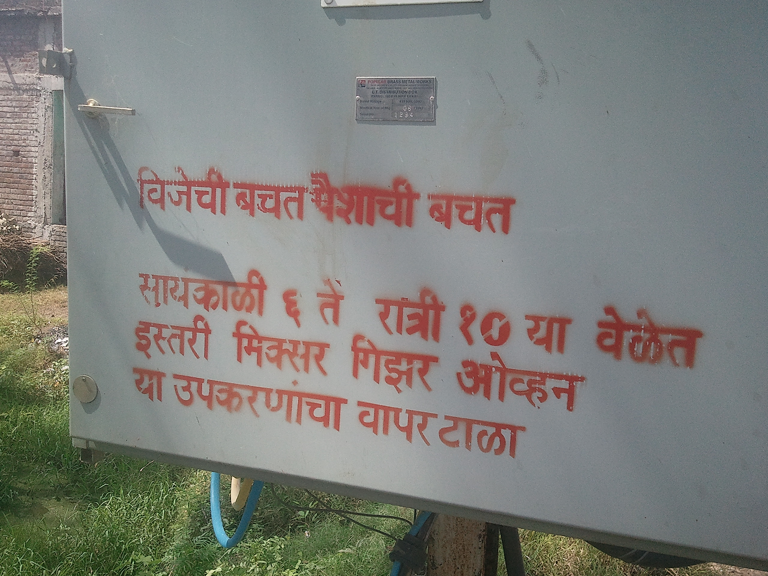
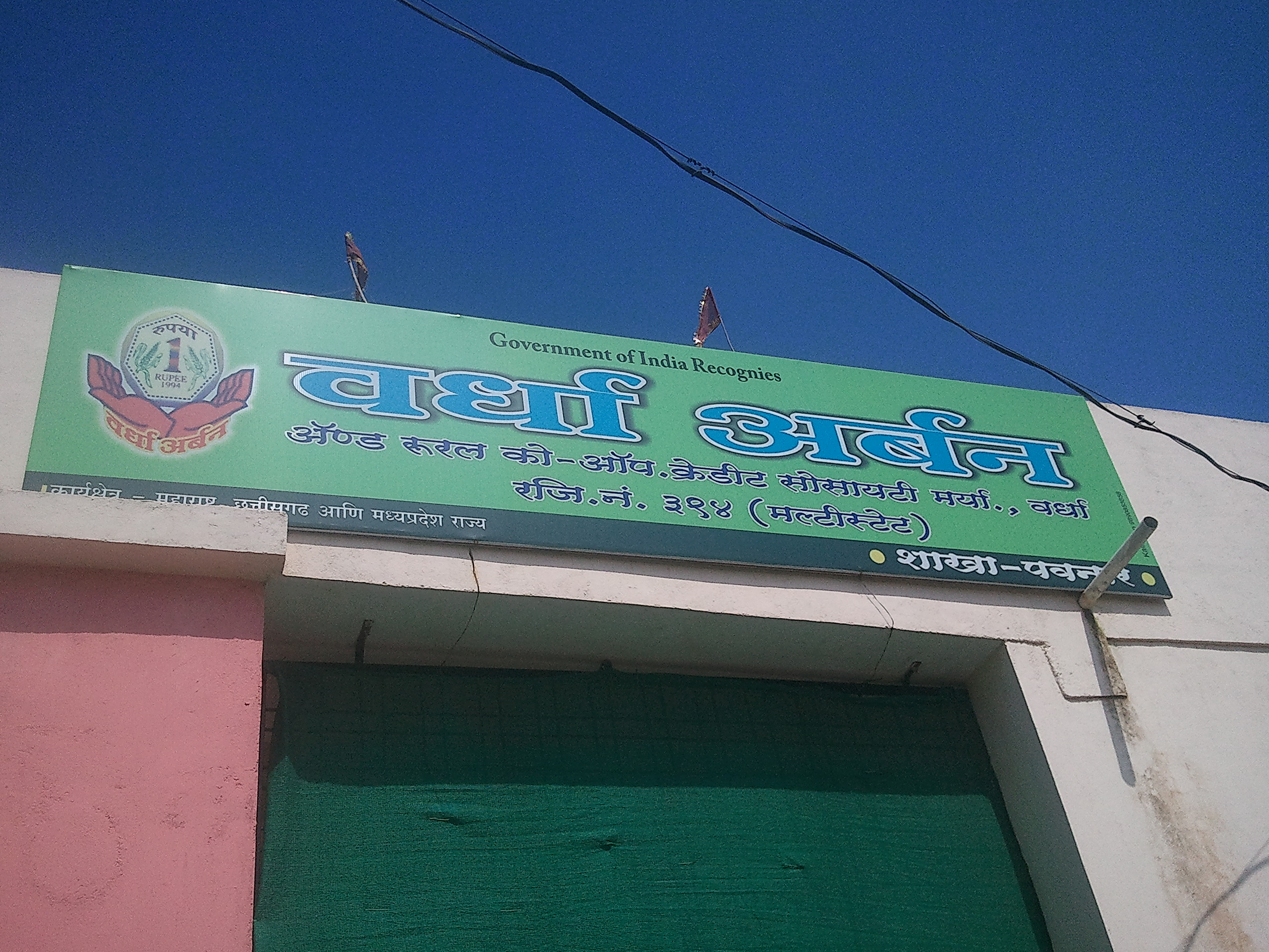
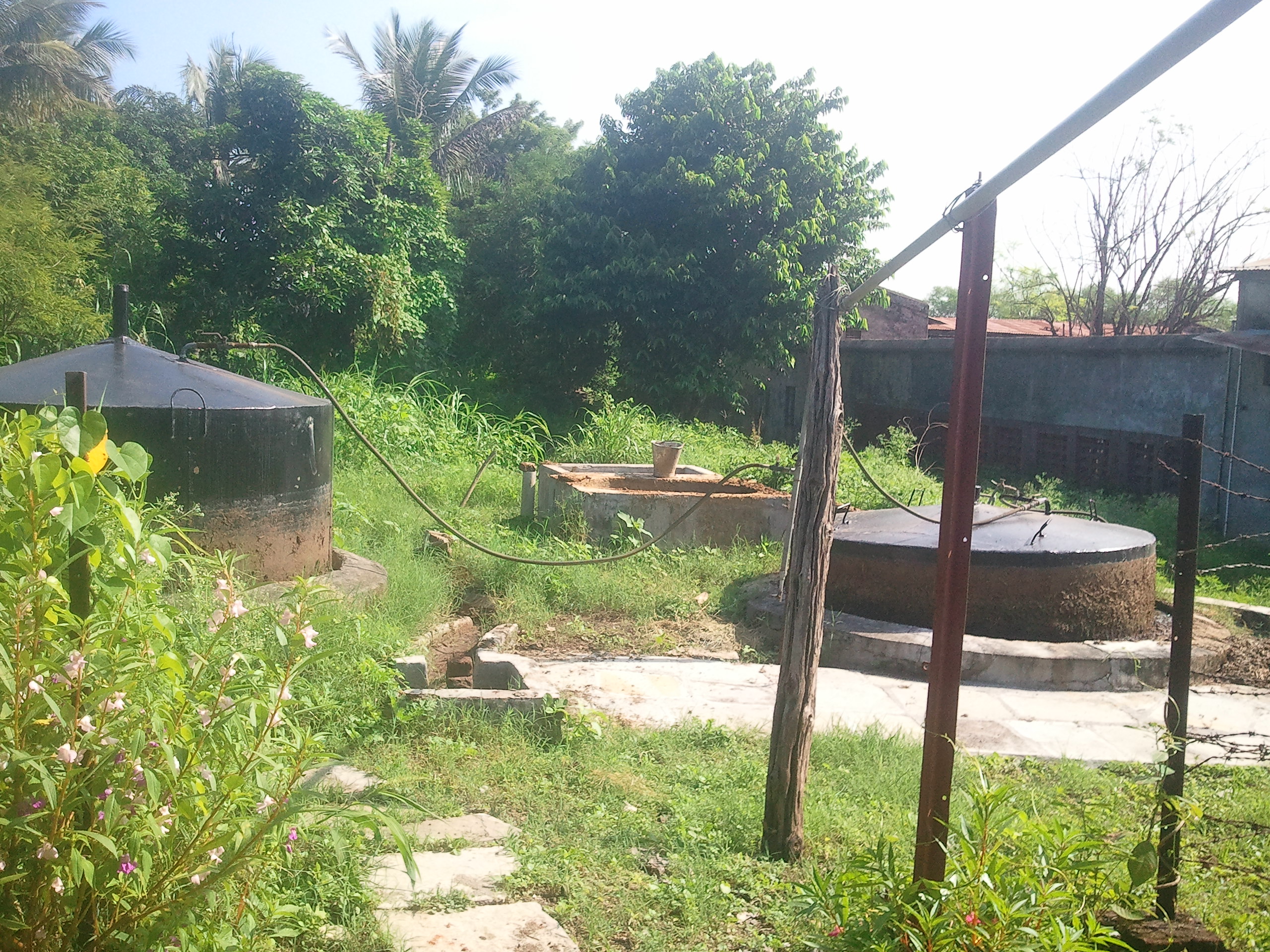
Brahmavidya Mandir Ashram, Pavnar
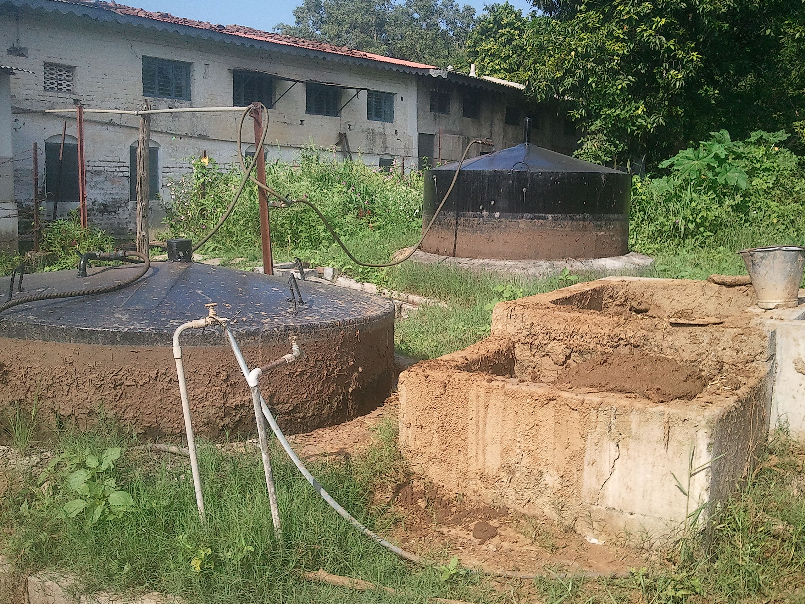
Brahmavidya Mandir Ashram, Pavnar
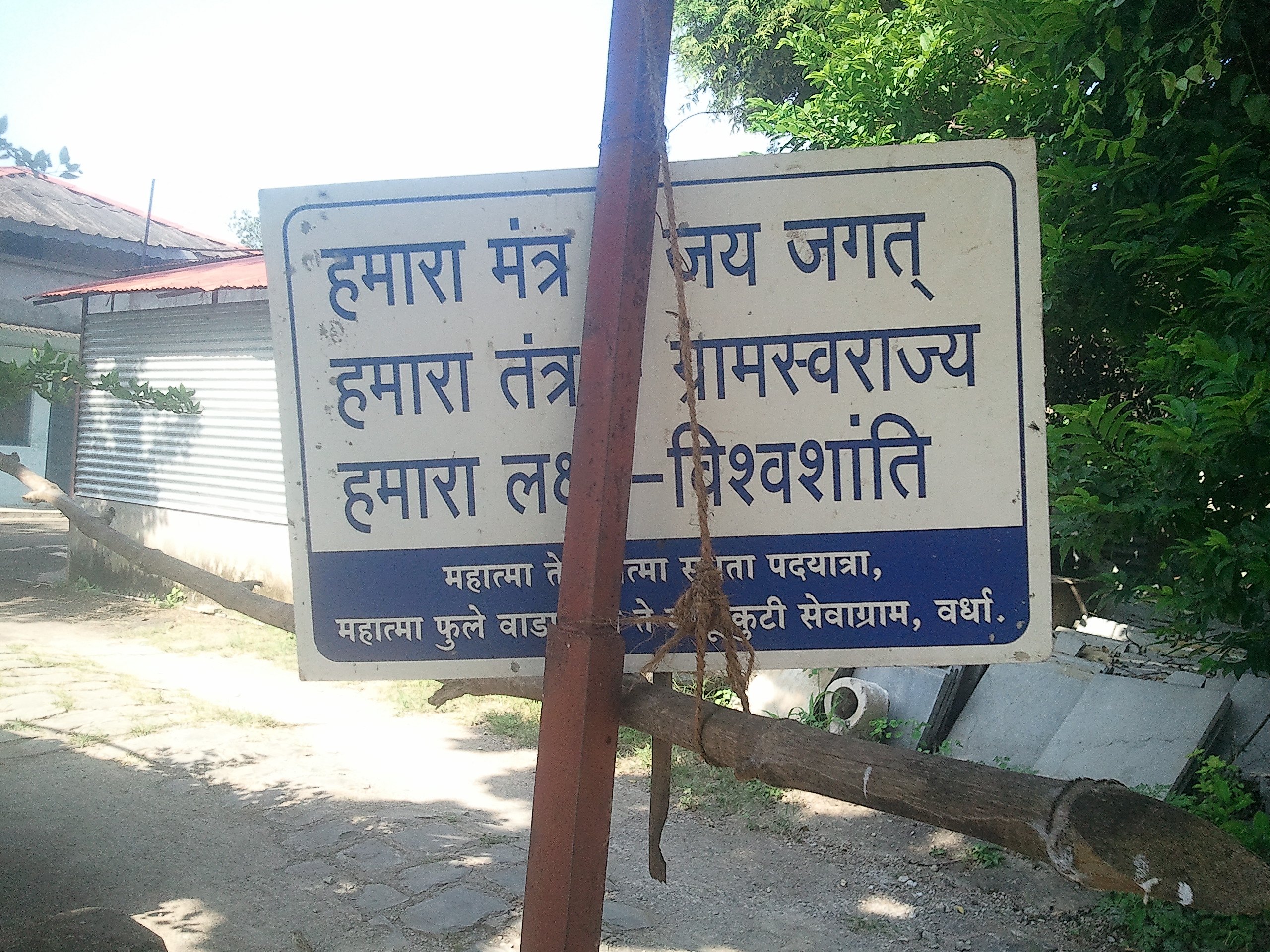
Brahmavidya Mandir Ashram, Pavnar
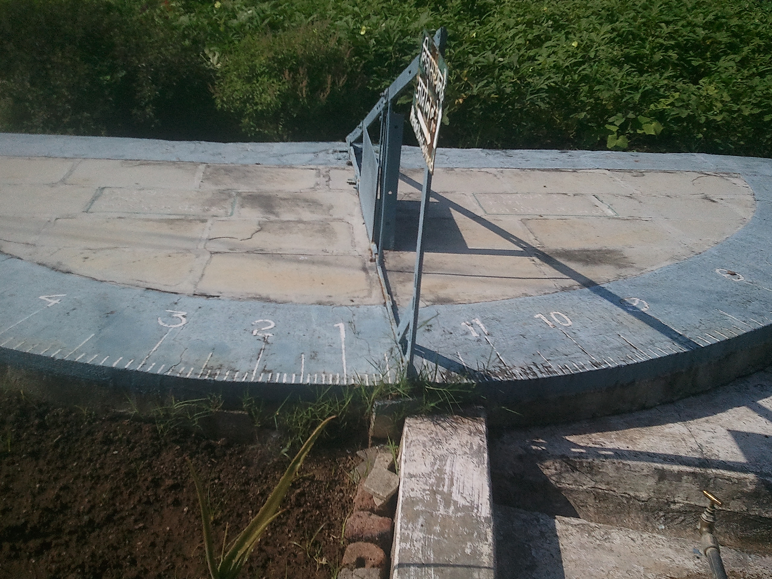
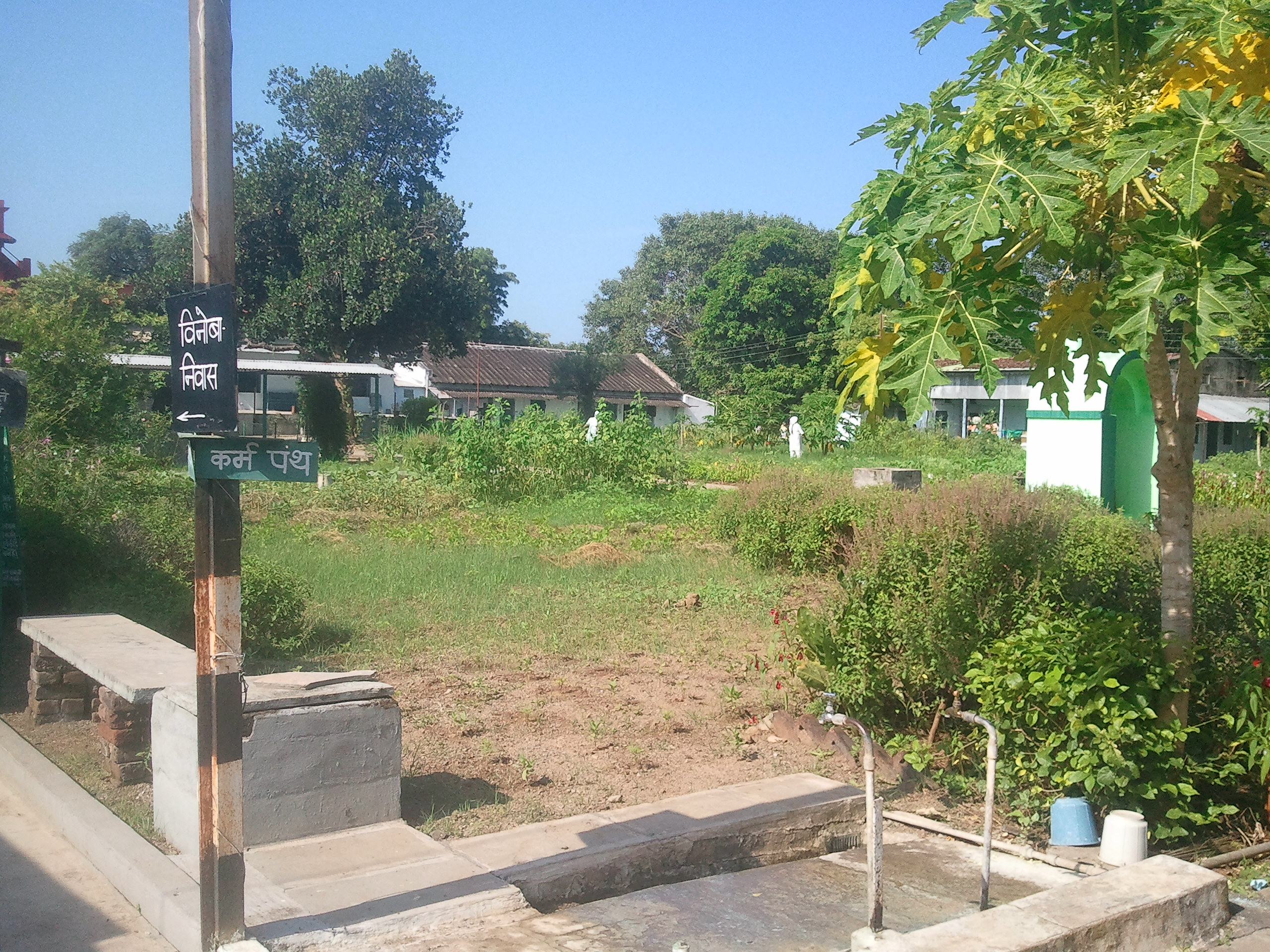
Brahmavidya Mandir Ashram, Pavnar
Brahmavidya Mandir Ashram, Pavnar
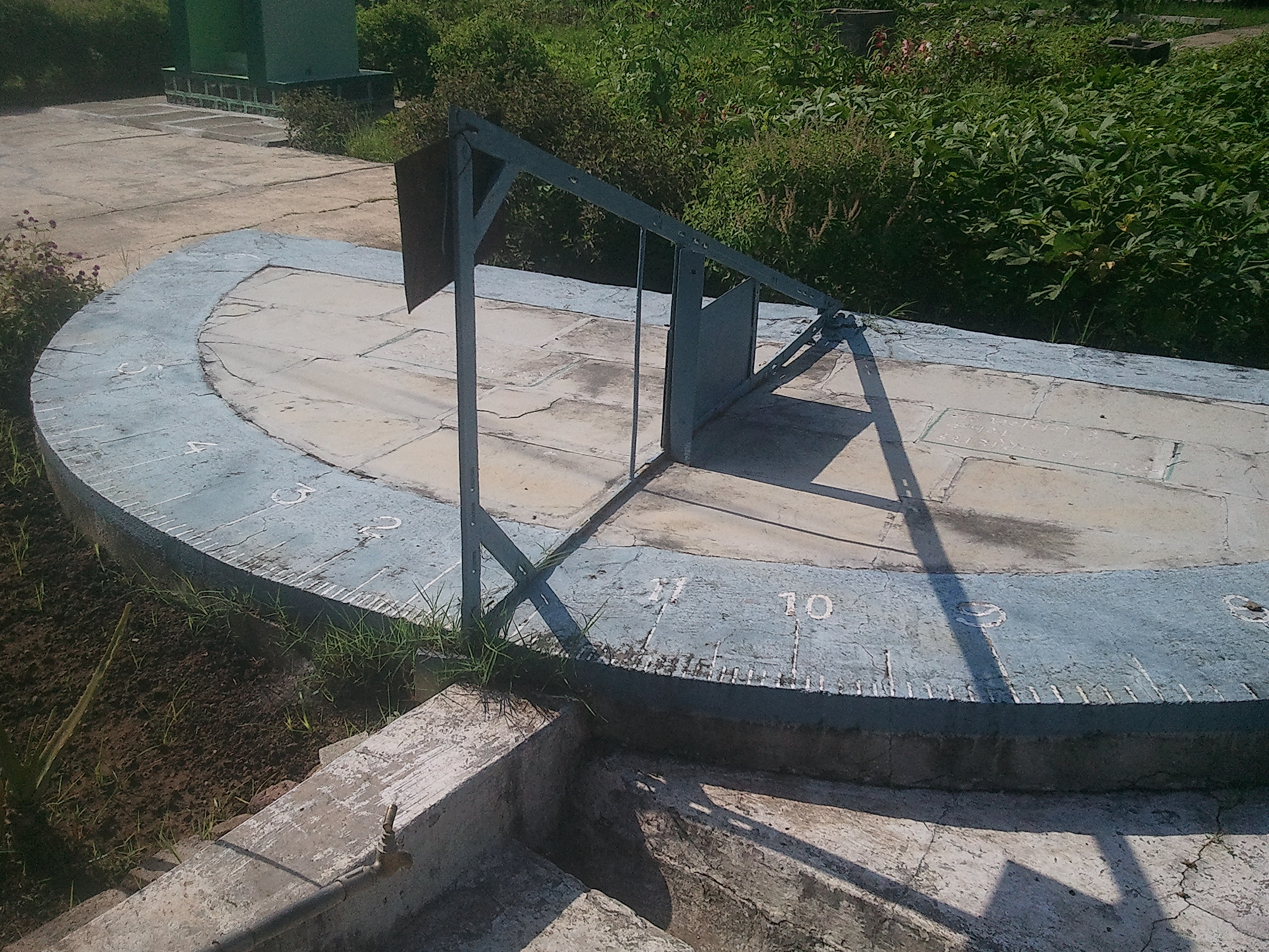
Brahmavidya Mandir Ashram, Pavnar
Brahmavidya Mandir Ashram, Pavnar
Brahmavidya Mandir Ashram, Pavnar
Brahmavidya Mandir Ashram, Pavnar

Brahmavidya Mandir Ashram, Pavnar
Topographic Map of Wardha, Maharashtra, India
Find elevation by address:

Places in Wardha, Maharashtra, India:
Places near Wardha, Maharashtra, India:
Wardha
Bajarwada
Ahmadnagar
Yavatmal
छत्रपती शिवाजी महाराज उद्यान, यवतमाळ
Amrawati Tahsil
Amravati
Yavatmal
Recent Searches:
- Elevation of Woolwine, VA, USA
- Elevation of Lumagwas Diversified Farmers Multi-Purpose Cooperative, Lumagwas, Adtuyon, RV32+MH7, Pangantucan, Bukidnon, Philippines
- Elevation of Homestead Ridge, New Braunfels, TX, USA
- Elevation of Orchard Road, Orchard Rd, Marlborough, NY, USA
- Elevation of 12 Hutchinson Woods Dr, Fletcher, NC, USA
- Elevation of Holloway Ave, San Francisco, CA, USA
- Elevation of Norfolk, NY, USA
- Elevation of - San Marcos Pass Rd, Santa Barbara, CA, USA
- Elevation of th Pl SE, Issaquah, WA, USA
- Elevation of 82- D Rd, Captain Cook, HI, USA