Elevation of Wapella Township, IL, USA
Location: United States > Illinois > De Witt County >
Longitude: -88.960536
Latitude: 40.2429194
Elevation: 226m / 741feet
Barometric Pressure: 99KPa
Elevation Map:
Satellite Map:
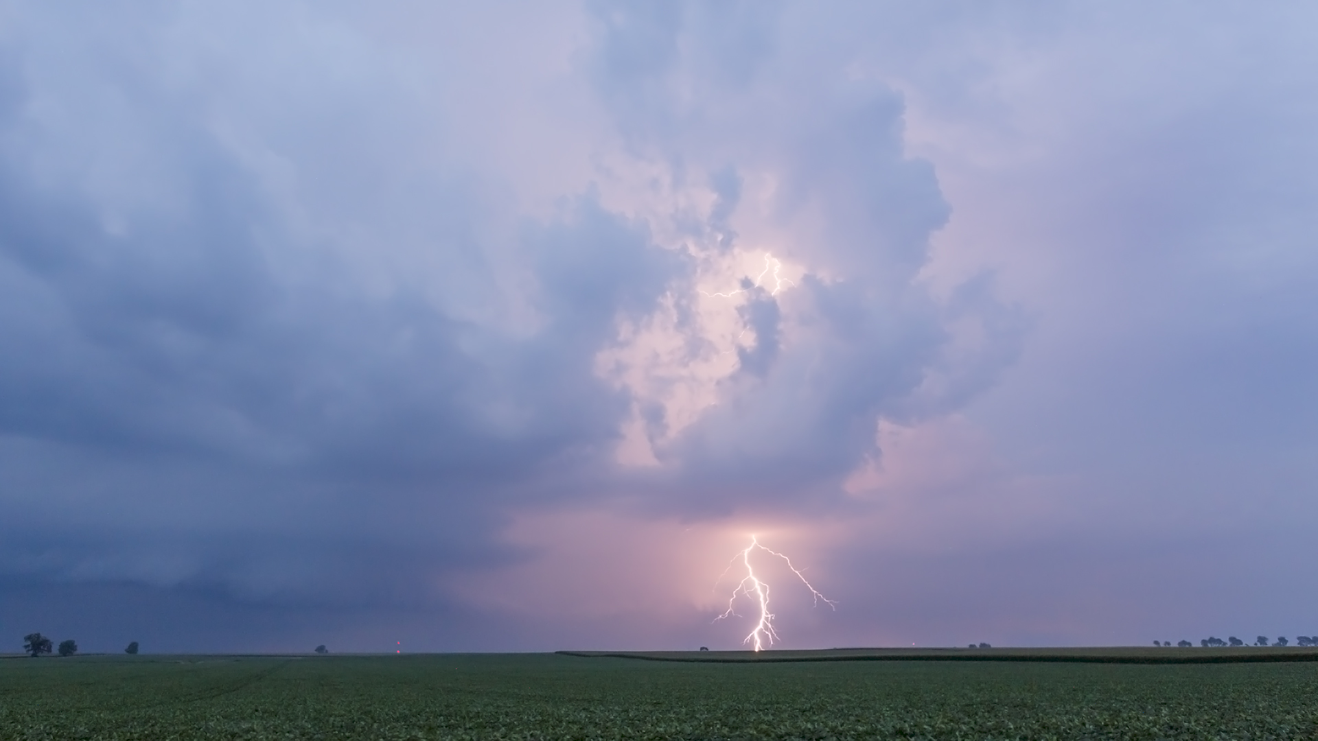
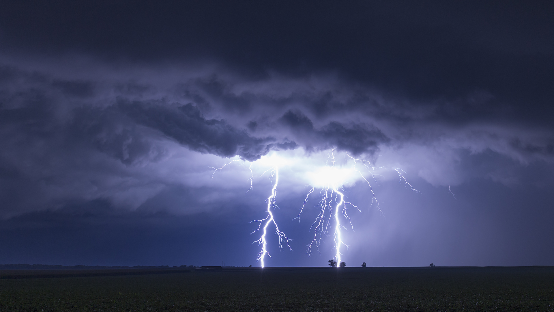
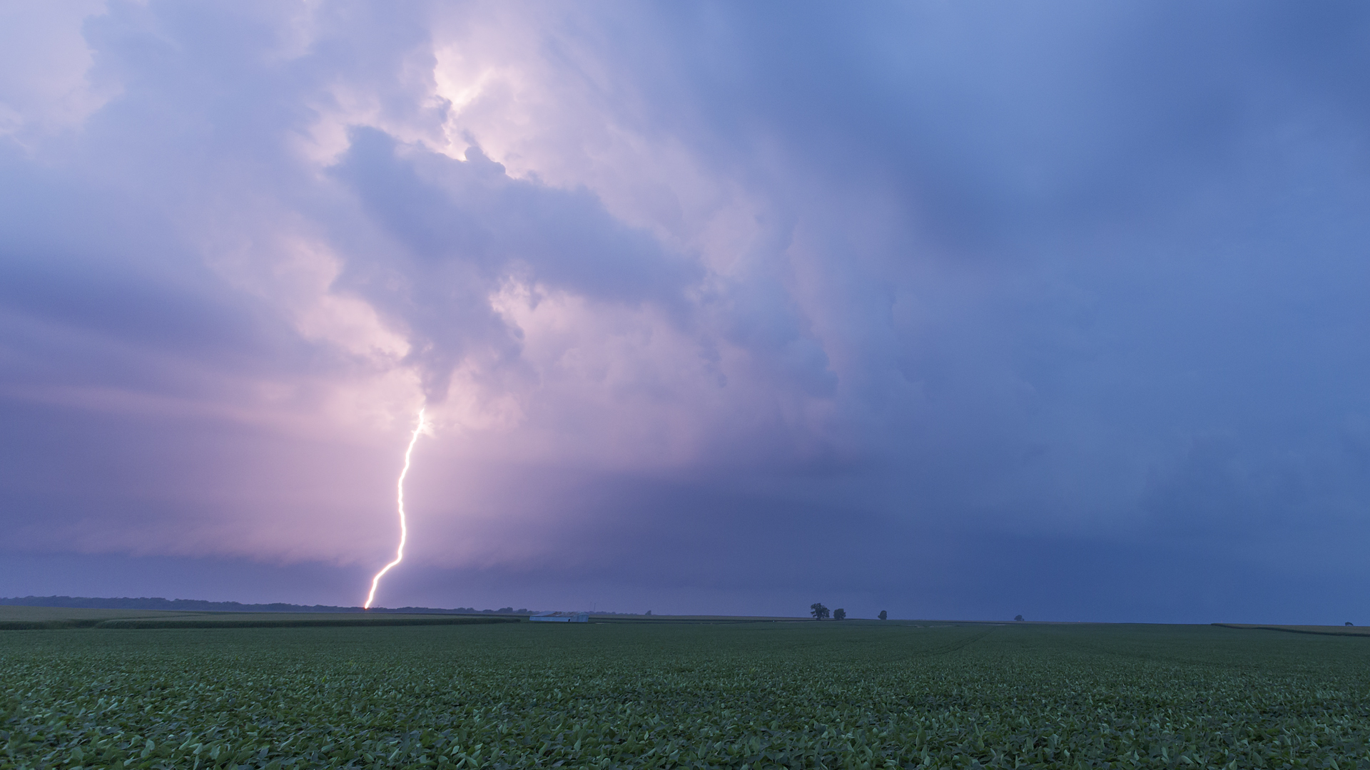
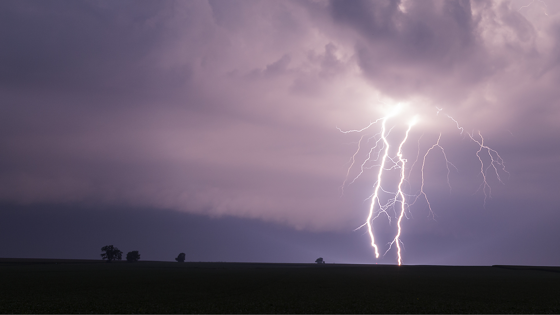
Related Photos:
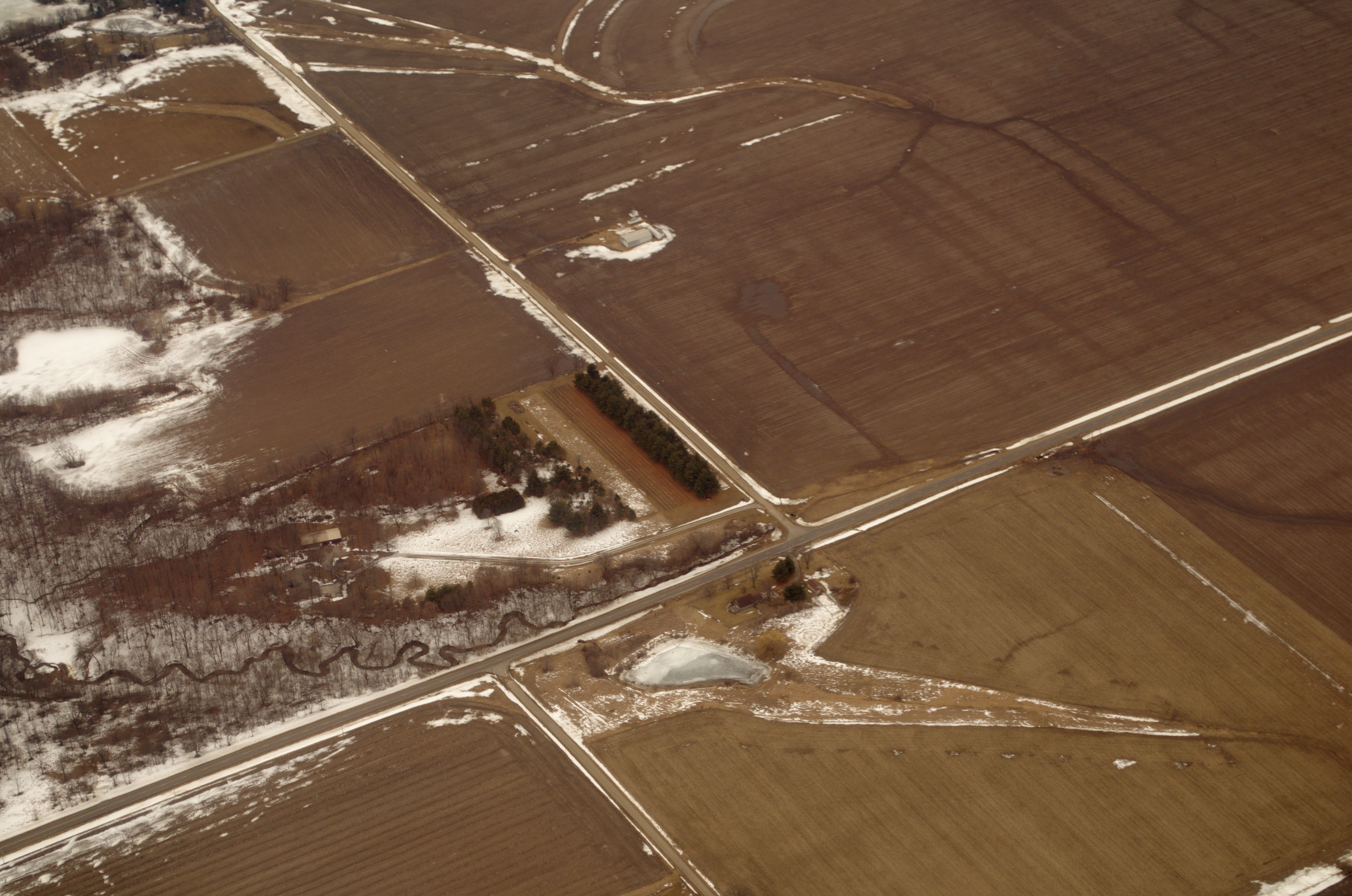
Farmland and woods in DeWitt County, Illinois

Dead tree

Rhyme Time

IMG_2187 2
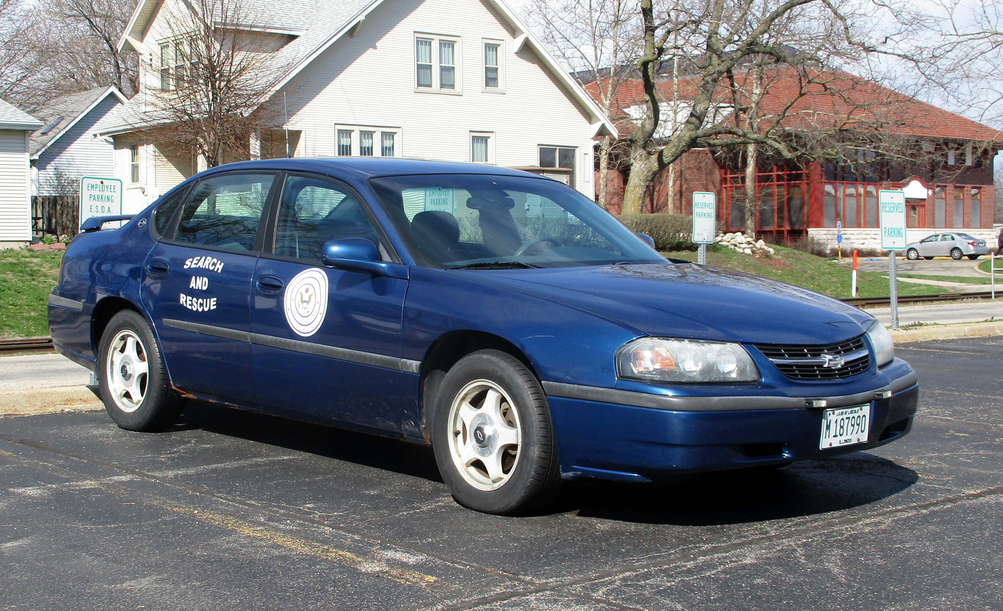
Illinois Search and Rescue Council Chevrolet
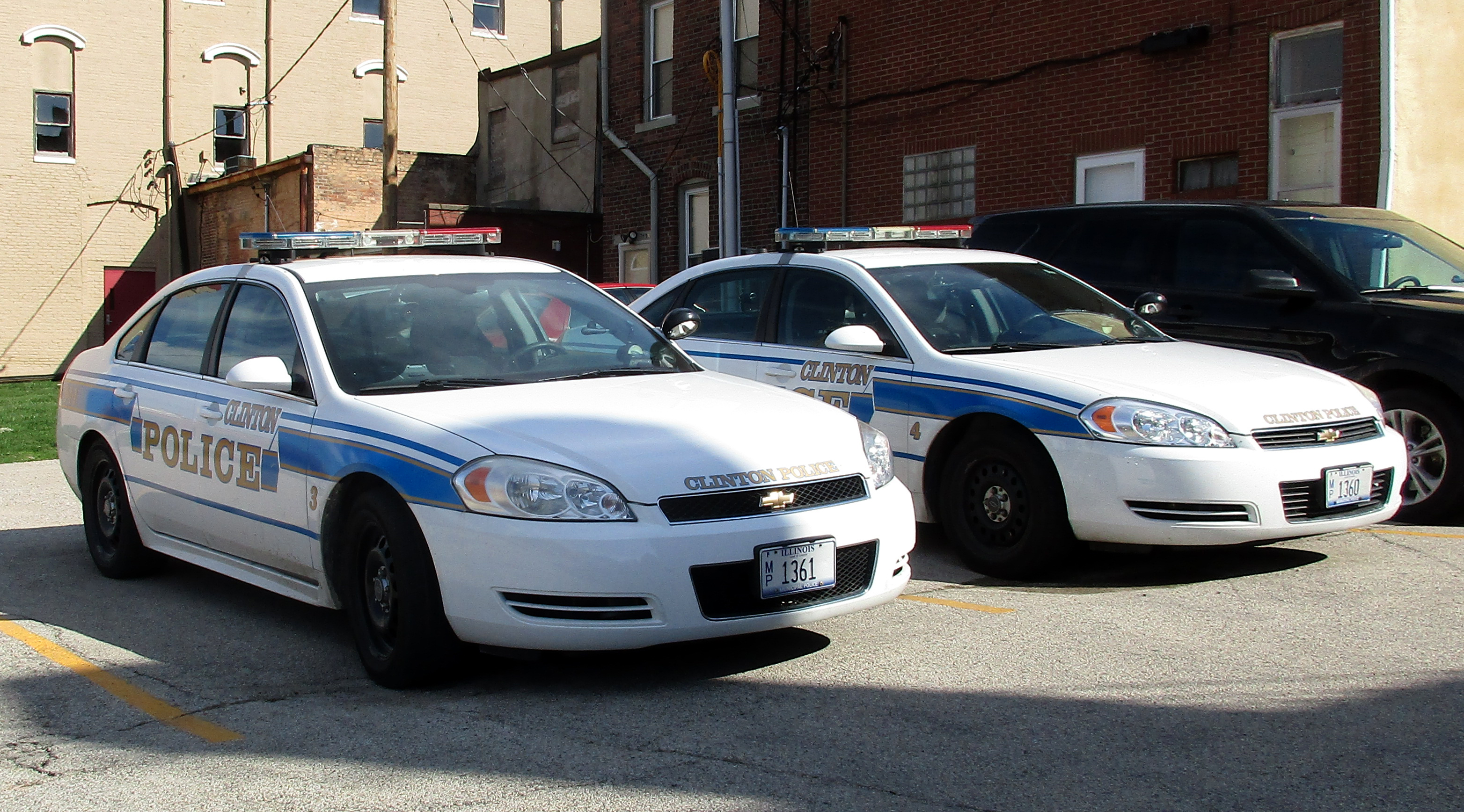
Clinton, Illinois, Chevrolet Police Car
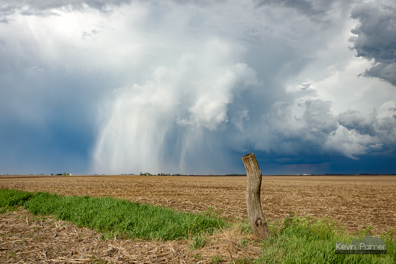
Hail Shaft Post
IMG_2549 2
IMG_3088 crop

IMG_2501 2
IMG_1977 2
IMG_2597 crop

IMG_2459 2
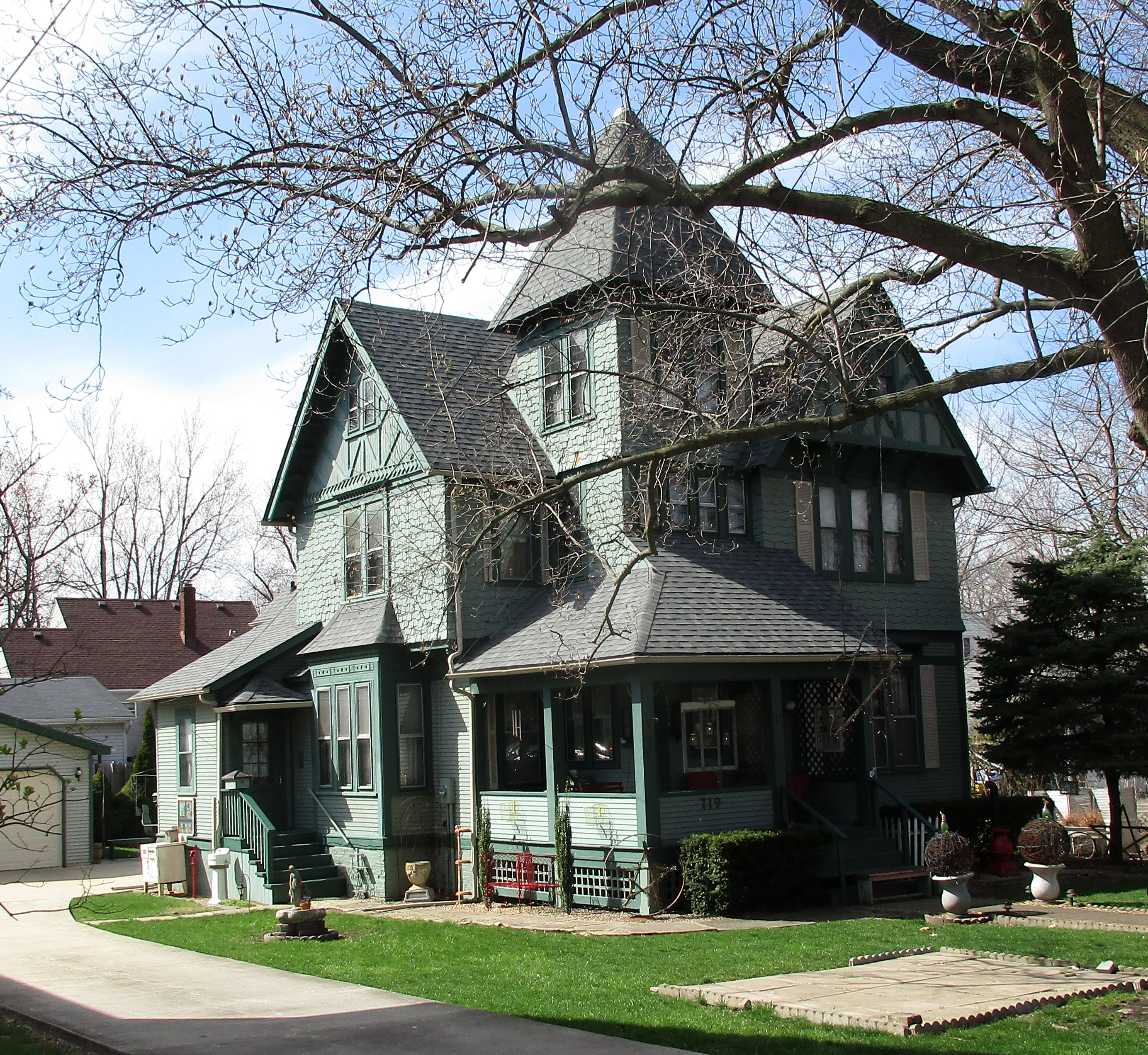
House, Clinton, Illinois
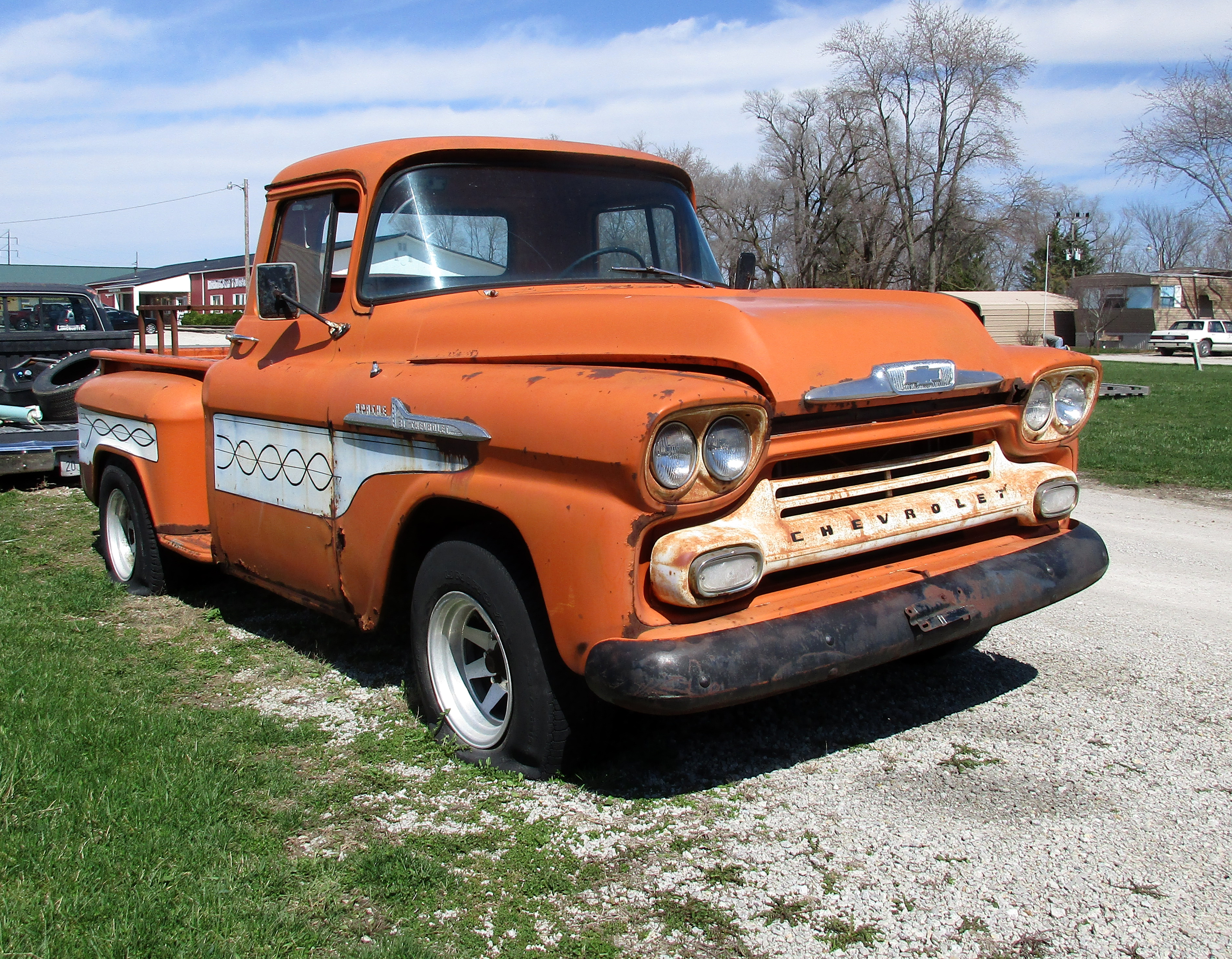
Chevrolet Apache
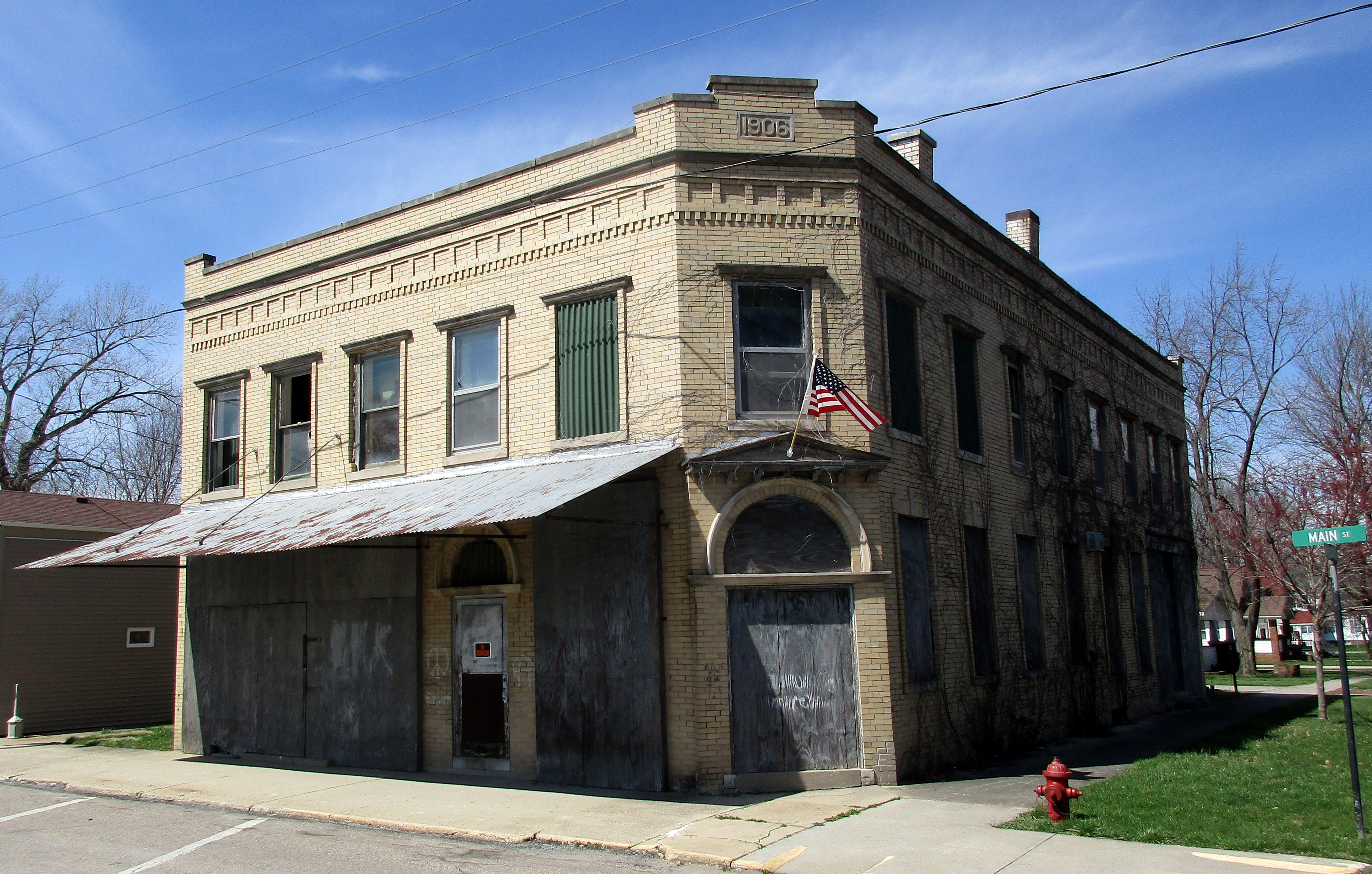
Vacant Building, Wapella, Illinois

2016RowRaiser-Wapella-462

2016RowRaiser-Wapella-471

2016RowRaiser-Wapella-473

2016RowRaiser-Wapella-476

2016RowRaiser-Wapella-496

2016RowRaiser-Wapella-497
Topographic Map of Wapella Township, IL, USA
Find elevation by address:

Places in Wapella Township, IL, USA:
Places near Wapella Township, IL, USA:
Wapella
Clintonia Township
West Webster Street
Clinton
Park Lane
45 Holiday Dr
IL-10, Clinton, IL, USA
5401 Hickory Manor Ln
6210 N 500 East Rd
Barnett Township
E North Rd, Clinton, IL, USA
E, Clinton, IL, USA
Texas Township
N, Waynesville, IL, USA
Kenney
Co Rd 7, Kenney, IL, USA
Rejected Rock St, Clinton, IL, USA
Tunbridge Township
Atlanta Township
2192 County Rd 2175 E
Recent Searches:
- Elevation of Leguwa, Nepal
- Elevation of County Rd, Enterprise, AL, USA
- Elevation of Kolchuginsky District, Vladimir Oblast, Russia
- Elevation of Shustino, Vladimir Oblast, Russia
- Elevation of Lampiasi St, Sarasota, FL, USA
- Elevation of Elwyn Dr, Roanoke Rapids, NC, USA
- Elevation of Congressional Dr, Stevensville, MD, USA
- Elevation of Bellview Rd, McLean, VA, USA
- Elevation of Stage Island Rd, Chatham, MA, USA
- Elevation of Shibuya Scramble Crossing, 21 Udagawacho, Shibuya City, Tokyo -, Japan