Elevation of Wapato, WA, USA
Location: United States > Washington > Yakima County >
Longitude: -120.42033
Latitude: 46.4476278
Elevation: 260m / 853feet
Barometric Pressure: 98KPa
Elevation Map:
Satellite Map:
Related Photos:

A wow view
What a View

view from Sagelands
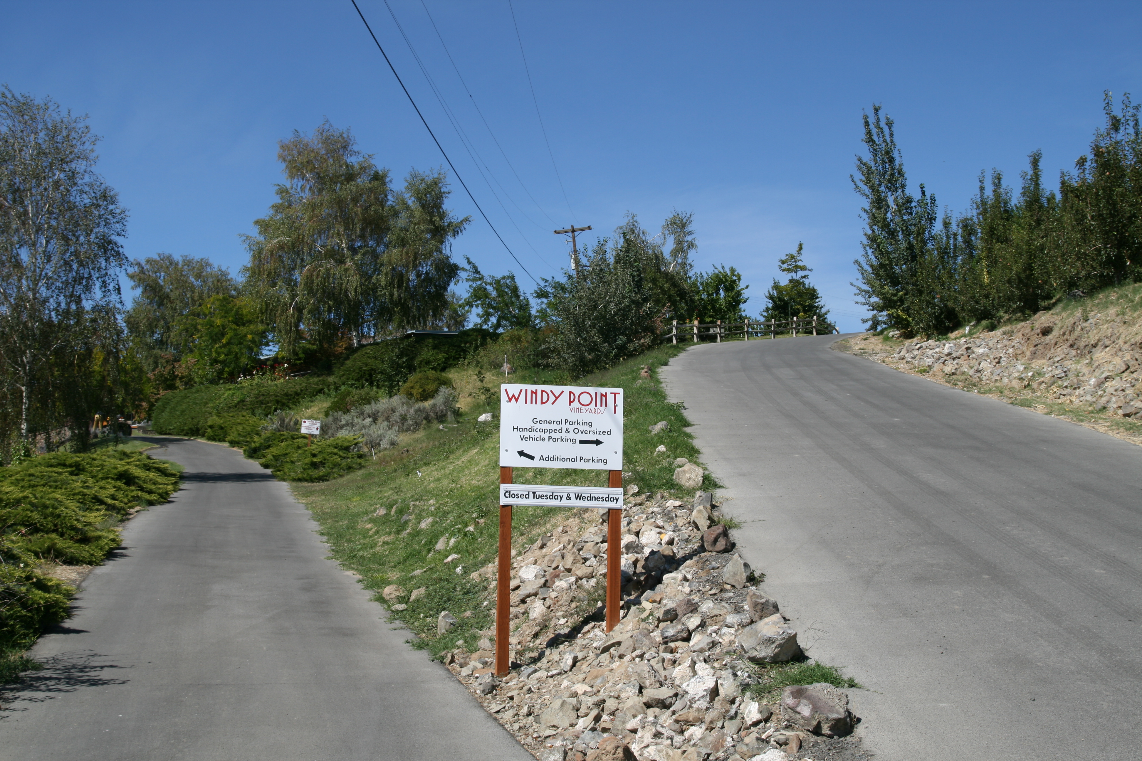
Windy Point Vineyards

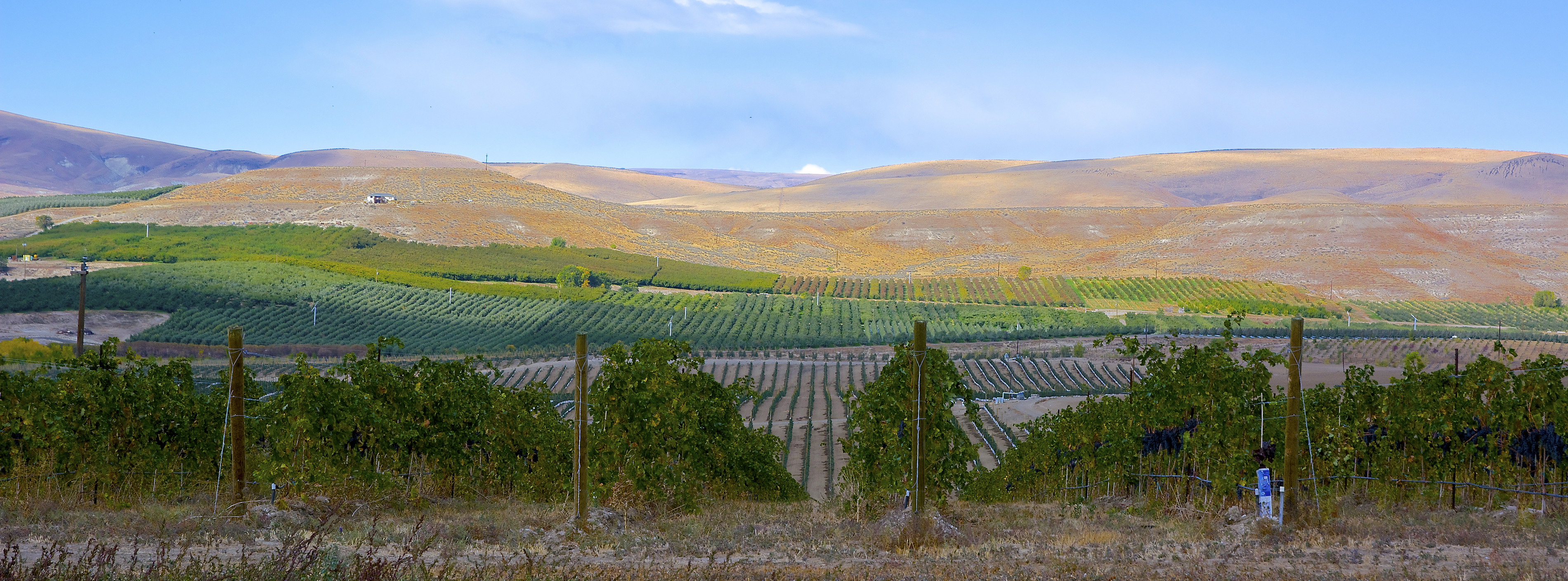
View from Sagelands Vineyard
Bonair Winery
View from Sagelands Vineyard

View from Sagelands Vineyard

View from Sagelands Vineyard

Planet :b
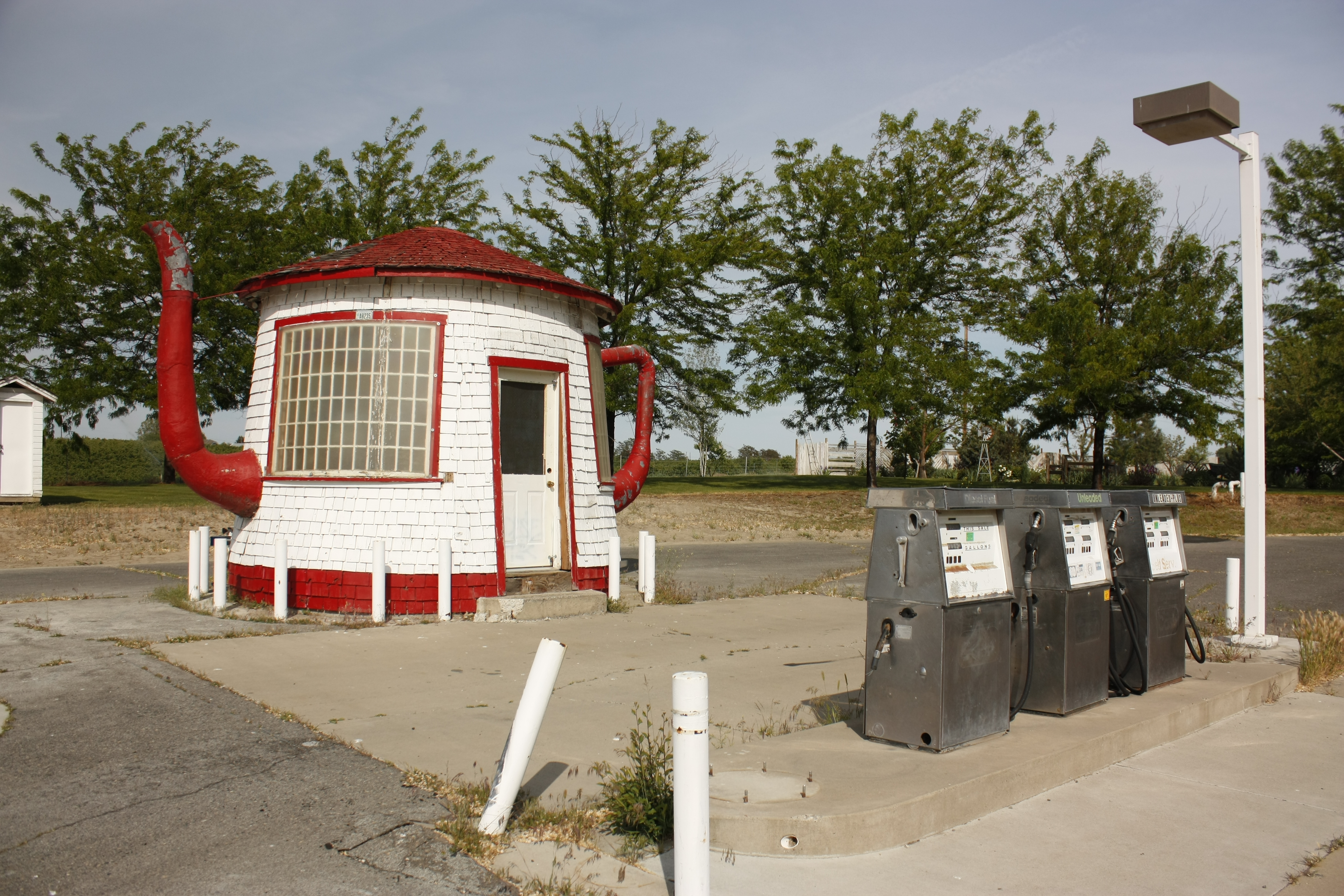
The Teapot Dome Gas Station

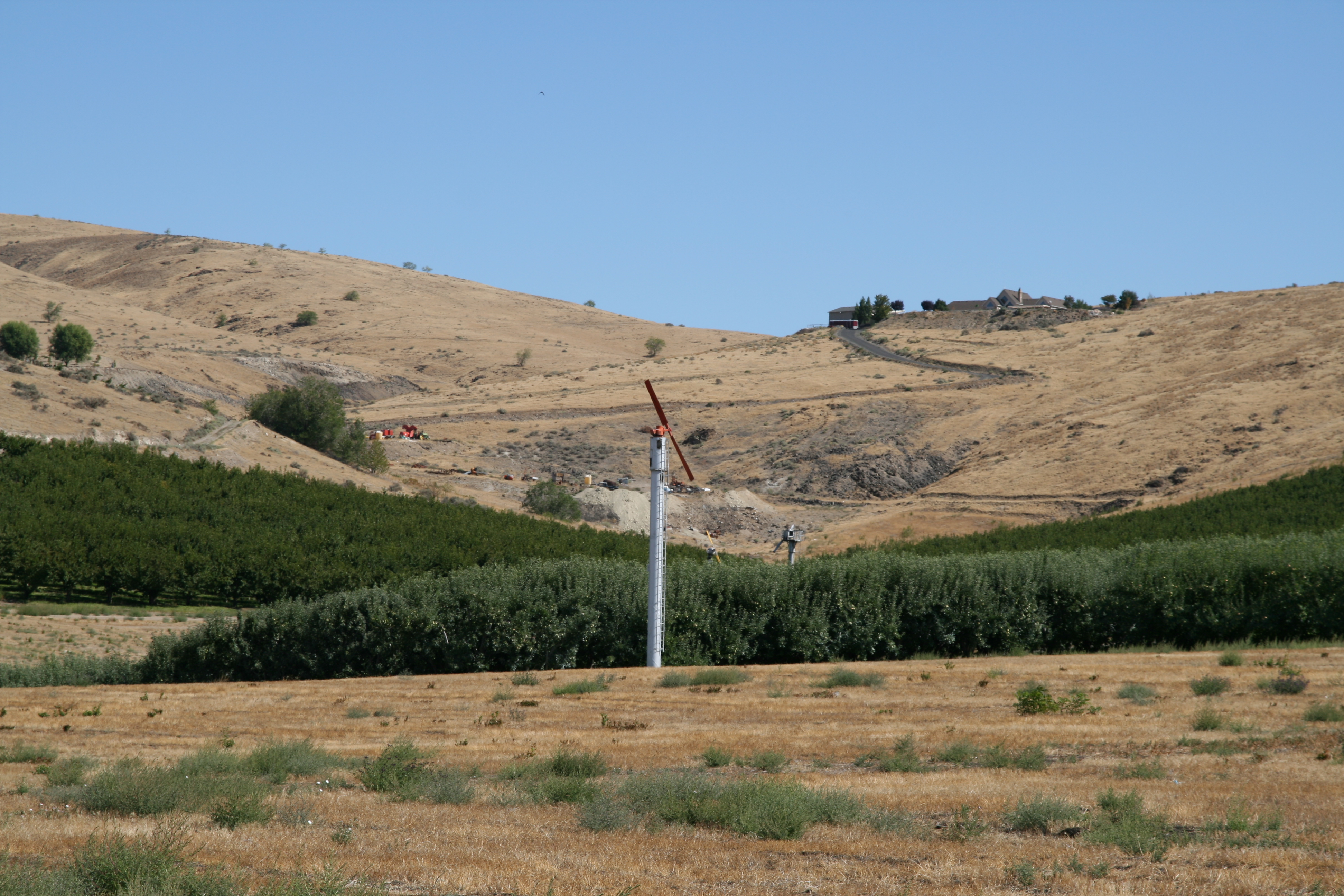
Toppenish Ridge
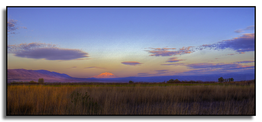
Pohto at Sunrise
Toppenish Ridge
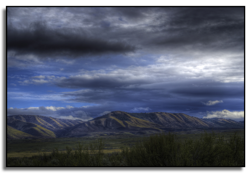
Toppenish Ridge

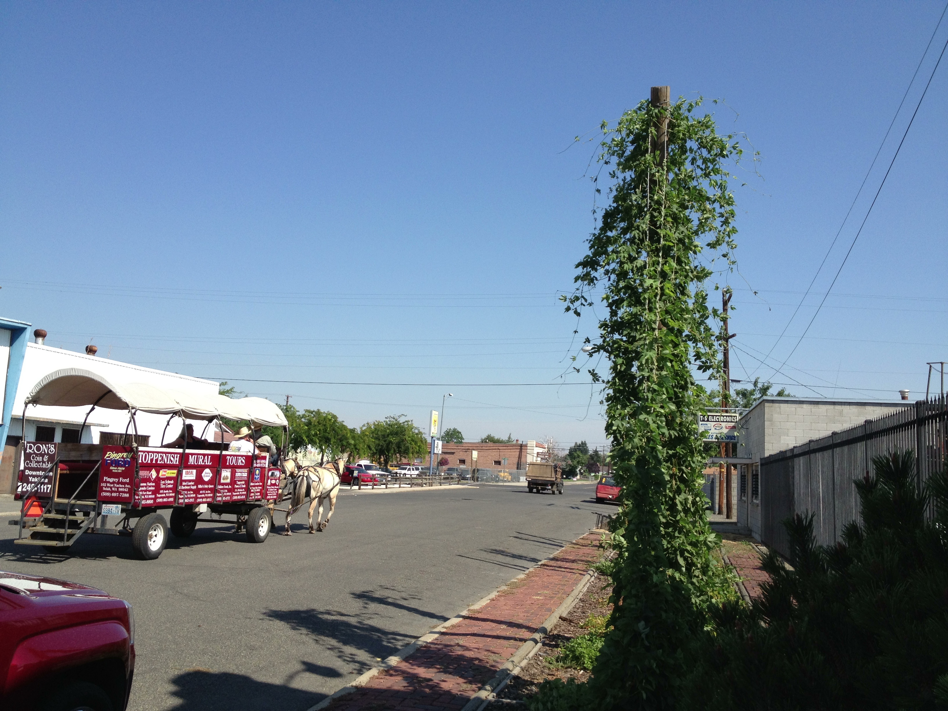
Yakima - 2
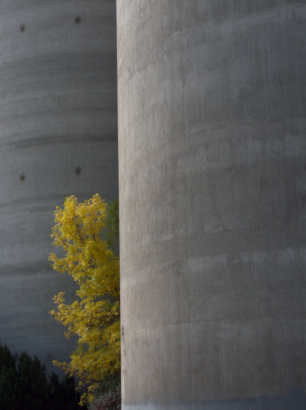
Silos and Tree
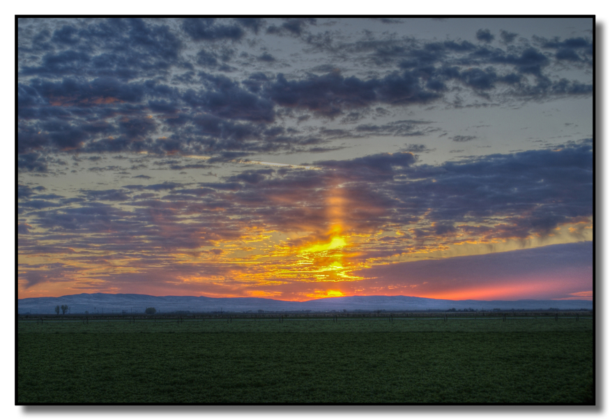
Sunrise in the Country

Silverlake Panorama
View from the front door

Abandoned Silos
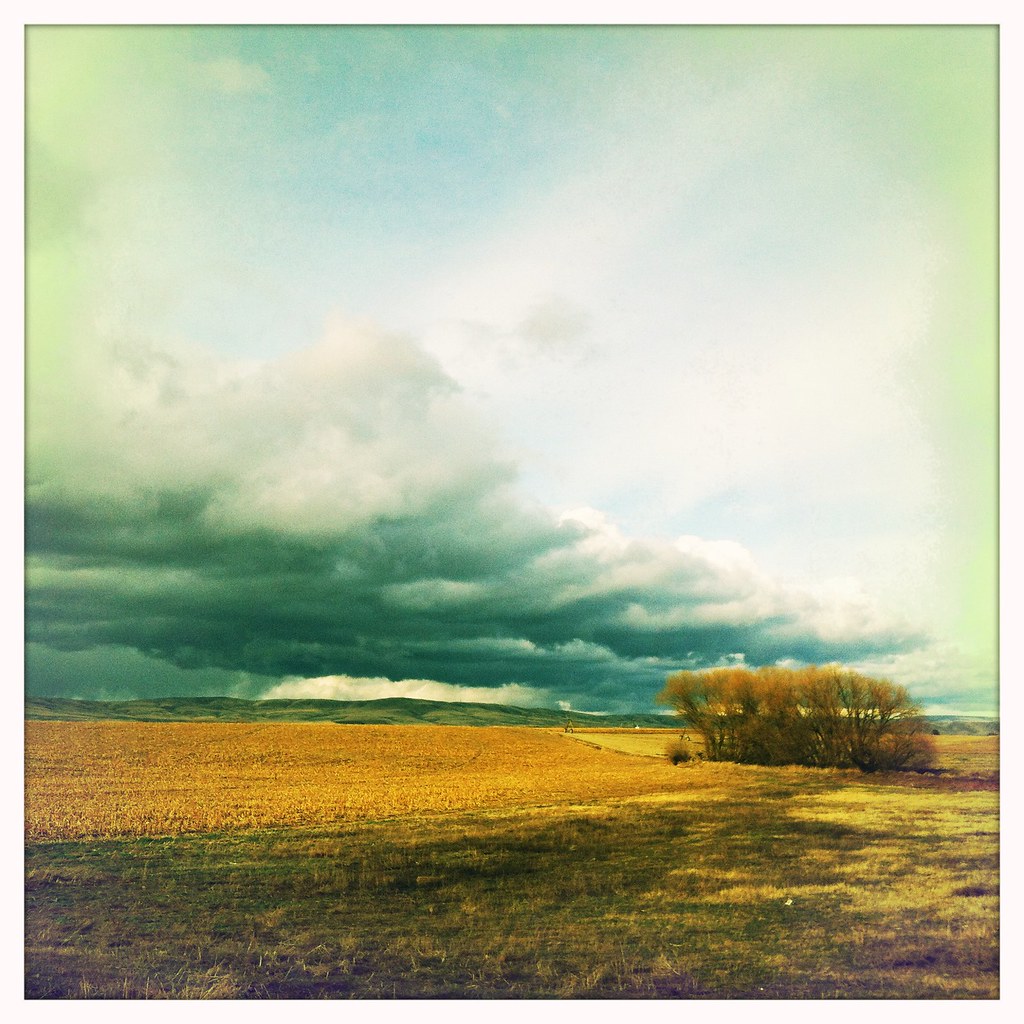
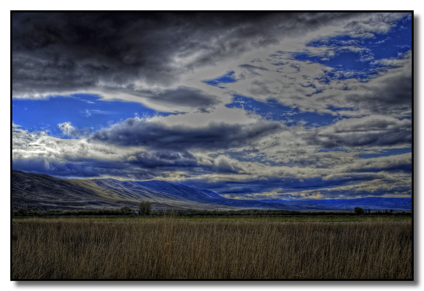
Storm coming in

Pond reflections

Road Trip

Battle of Union Gap-8559.jpg
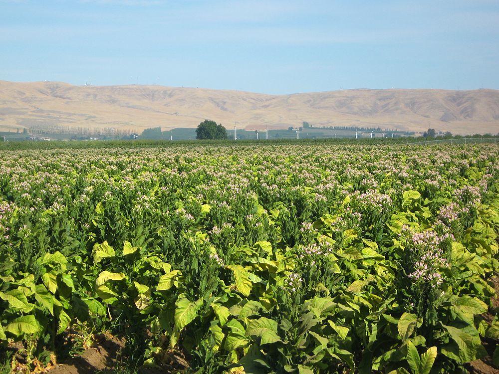
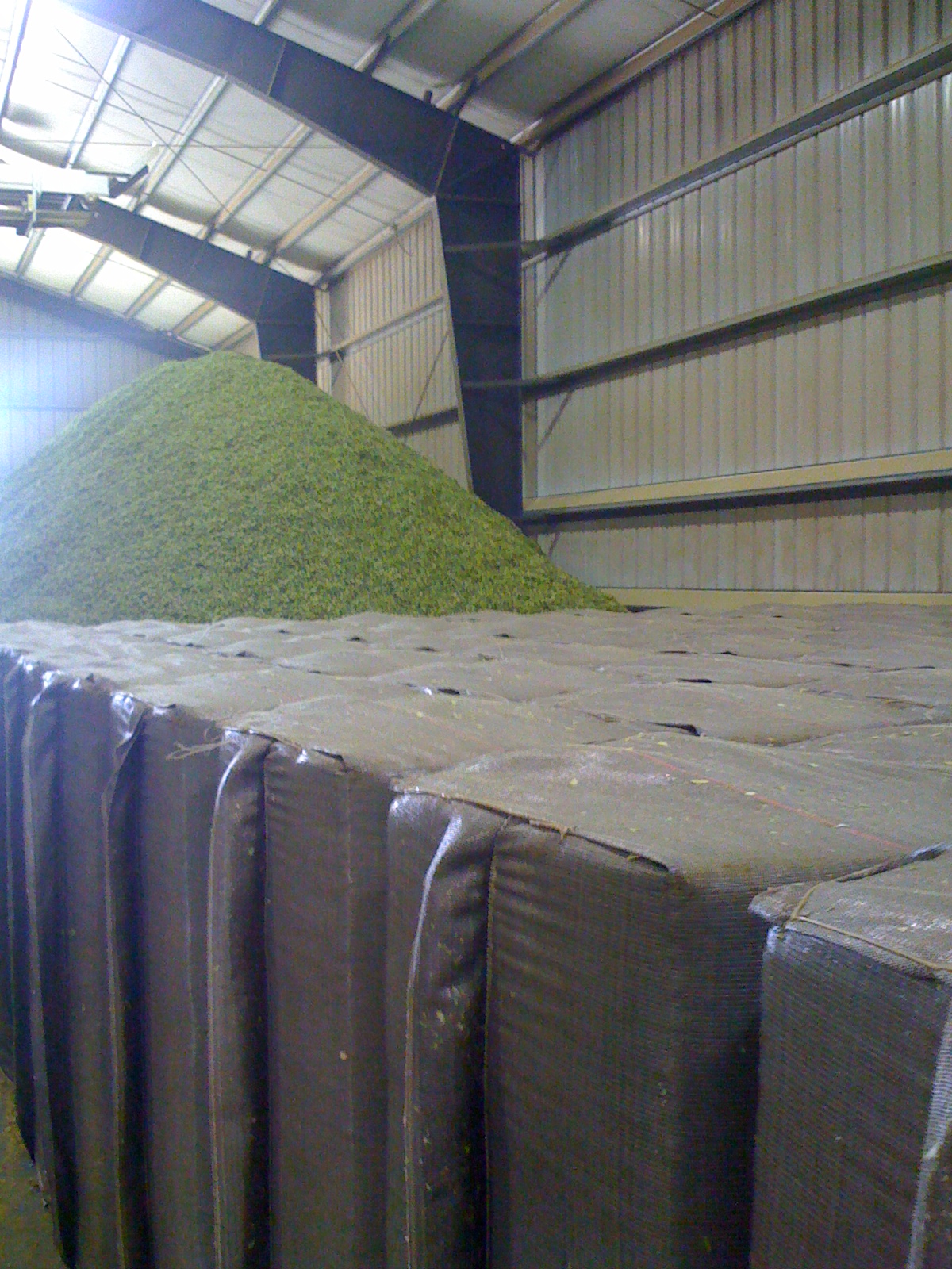
Tobacco field Yakima Valley

Band-winged meadowhawk, Sympetrum semicinctum, Yakima Area Arboretum
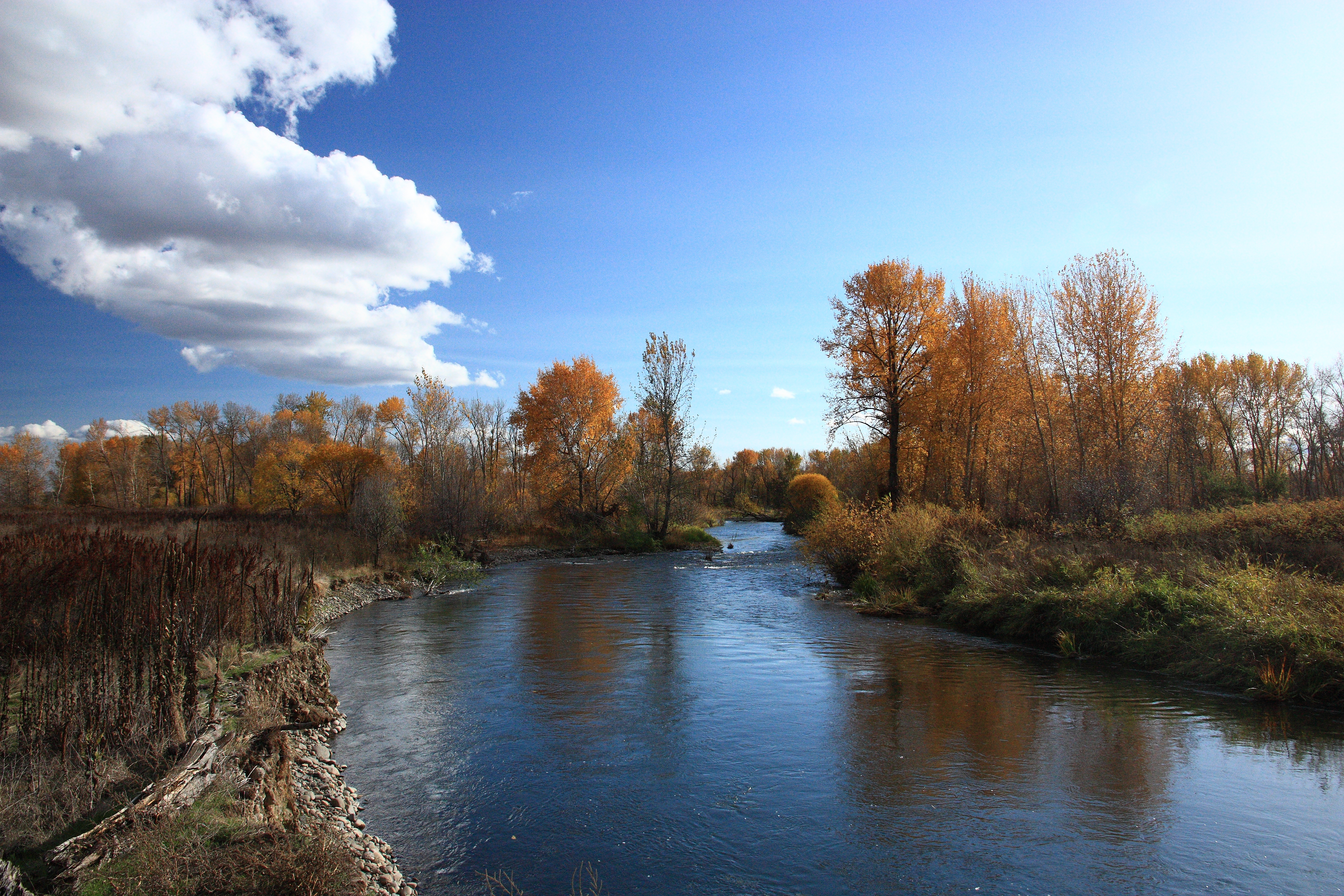
Yakima River

Firing Line
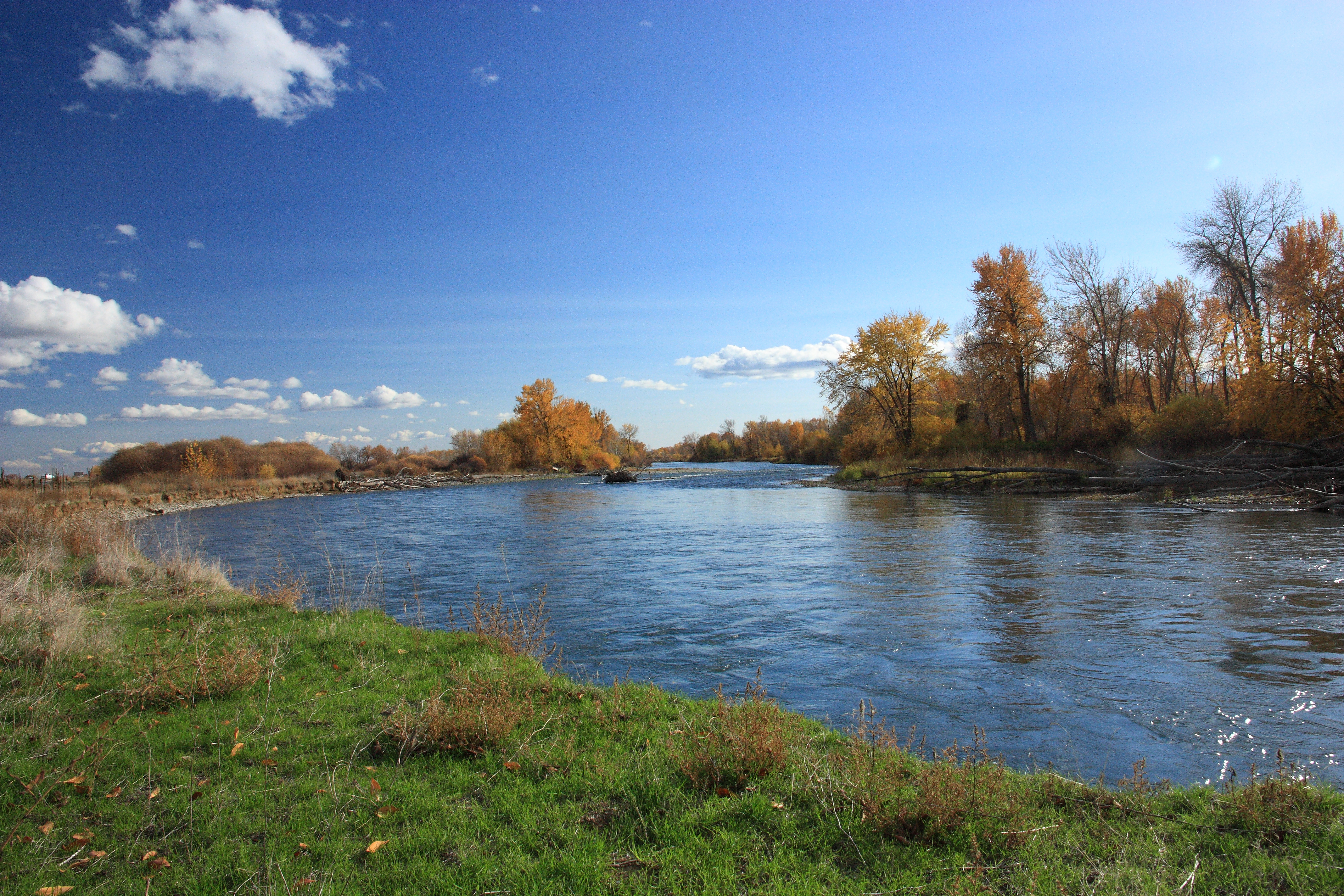
Yakima River

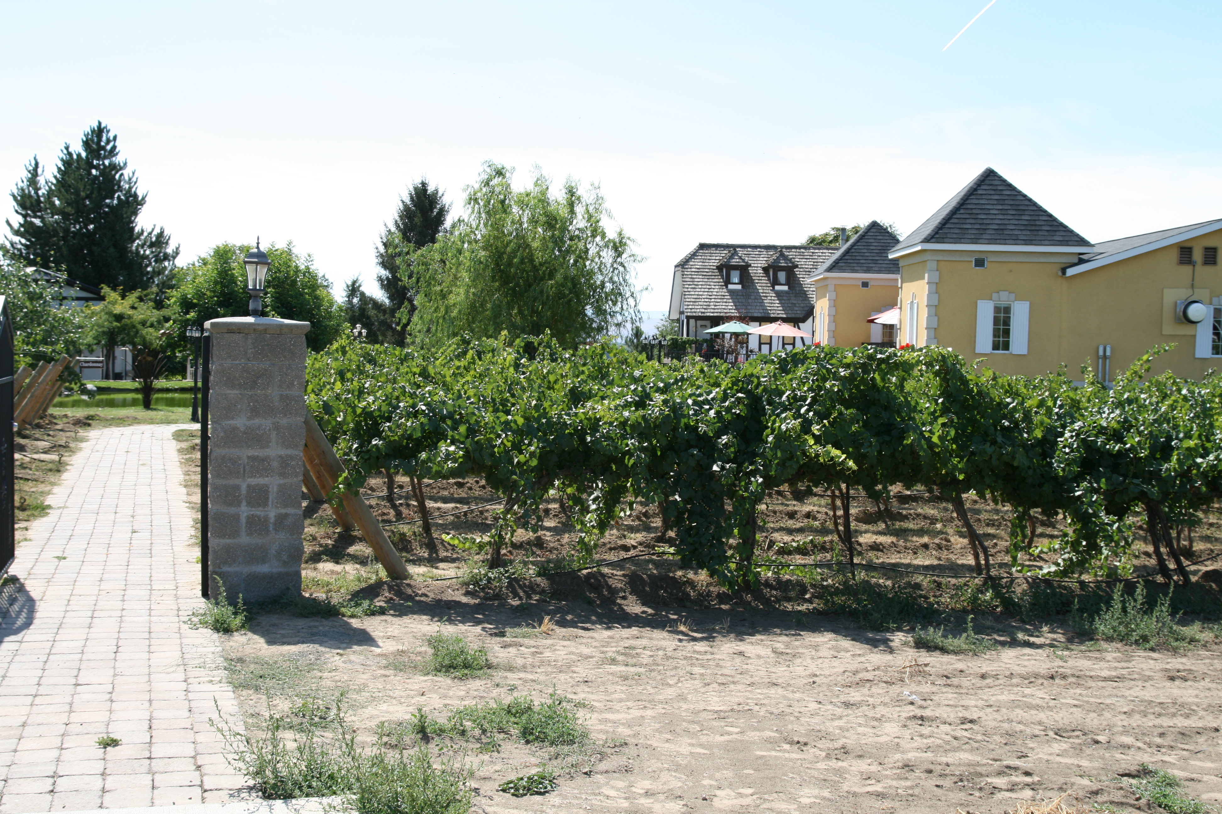
Winery Landscaping

Duck pond
Silver Lake Vineyards
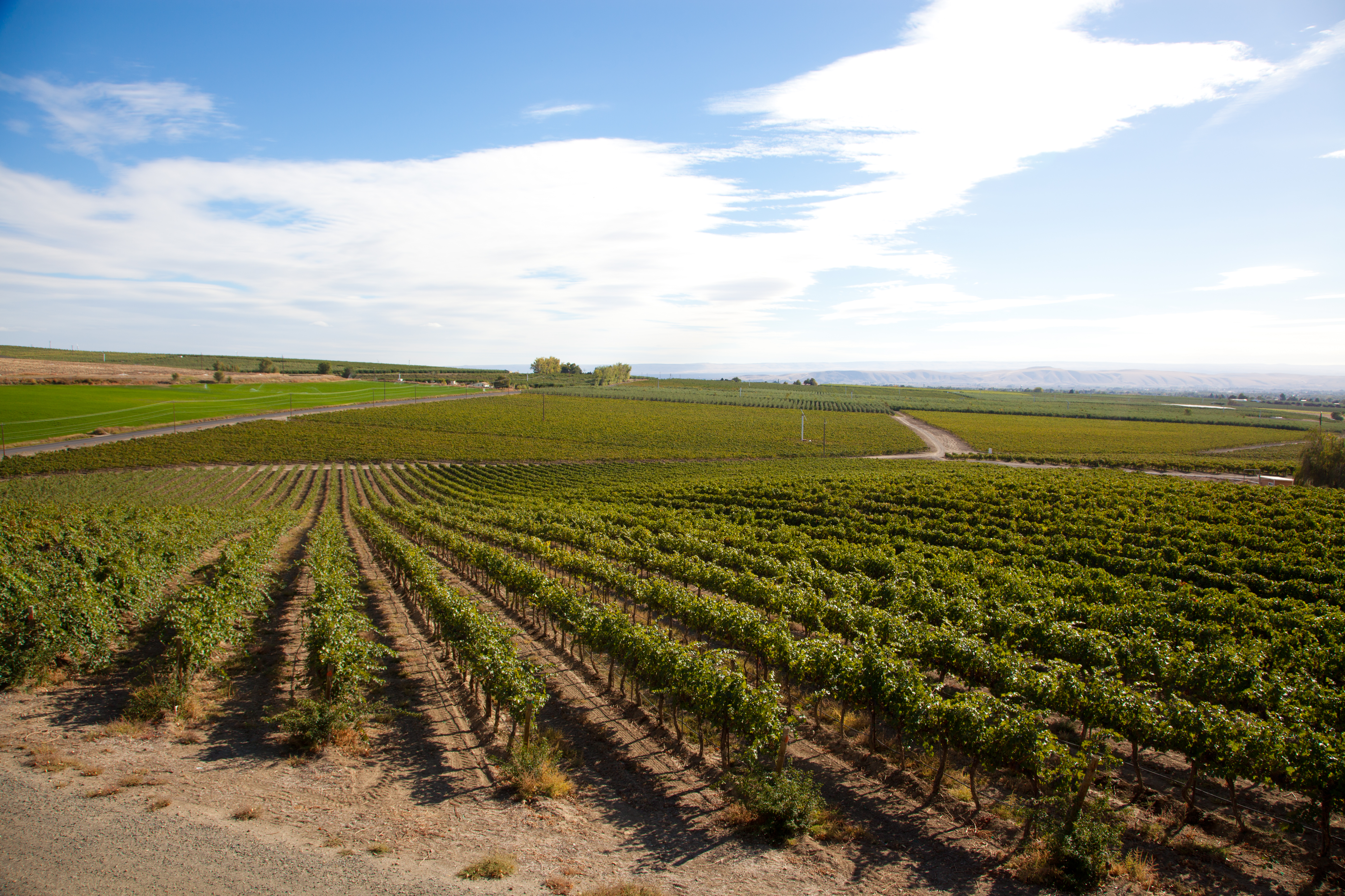
Yakima Valley wine country
Topographic Map of Wapato, WA, USA
Find elevation by address:

Places in Wapato, WA, USA:
Places near Wapato, WA, USA:
South Ahtanum Avenue
Donald
4th
9 Gangl Rd
400 Lundberg Rd
Moxee
Union Gap
3115 5th St
2881 Harrah Rd
402 Alder St
Wapato, WA, USA
2529 Main St
1236 Ahtanum Ridge Dr
Ahtanum Ridge Drive
2400 Ahtanum Ridge Dr
1908 S 17th St
106 Northstone Pkwy
11653 Yakima Valley Hwy
751 Sun Acres Rd
Yakima Air Terminal – Mcallister Field
Recent Searches:
- Elevation of Steadfast Ct, Daphne, AL, USA
- Elevation of Lagasgasan, X+CQH, Tiaong, Quezon, Philippines
- Elevation of Rojo Ct, Atascadero, CA, USA
- Elevation of Flagstaff Drive, Flagstaff Dr, North Carolina, USA
- Elevation of Avery Ln, Lakeland, FL, USA
- Elevation of Woolwine, VA, USA
- Elevation of Lumagwas Diversified Farmers Multi-Purpose Cooperative, Lumagwas, Adtuyon, RV32+MH7, Pangantucan, Bukidnon, Philippines
- Elevation of Homestead Ridge, New Braunfels, TX, USA
- Elevation of Orchard Road, Orchard Rd, Marlborough, NY, USA
- Elevation of 12 Hutchinson Woods Dr, Fletcher, NC, USA