Elevation of Wannamal WA, Australia
Location: Australia > Western Australia > Shire Of Chittering >
Longitude: 116.183131
Latitude: -31.156586
Elevation: 286m / 938feet
Barometric Pressure: 98KPa
Elevation Map:
Satellite Map:
Related Photos:

ESA New Norcia station

ESA New Norcia station 3D

Dishy View

Victoria Plains Agricultural Hall Ruins, Yarawindah, Western Australia

Leaning canola

Winter scene

Yellow eyes

Wheatbelt stars
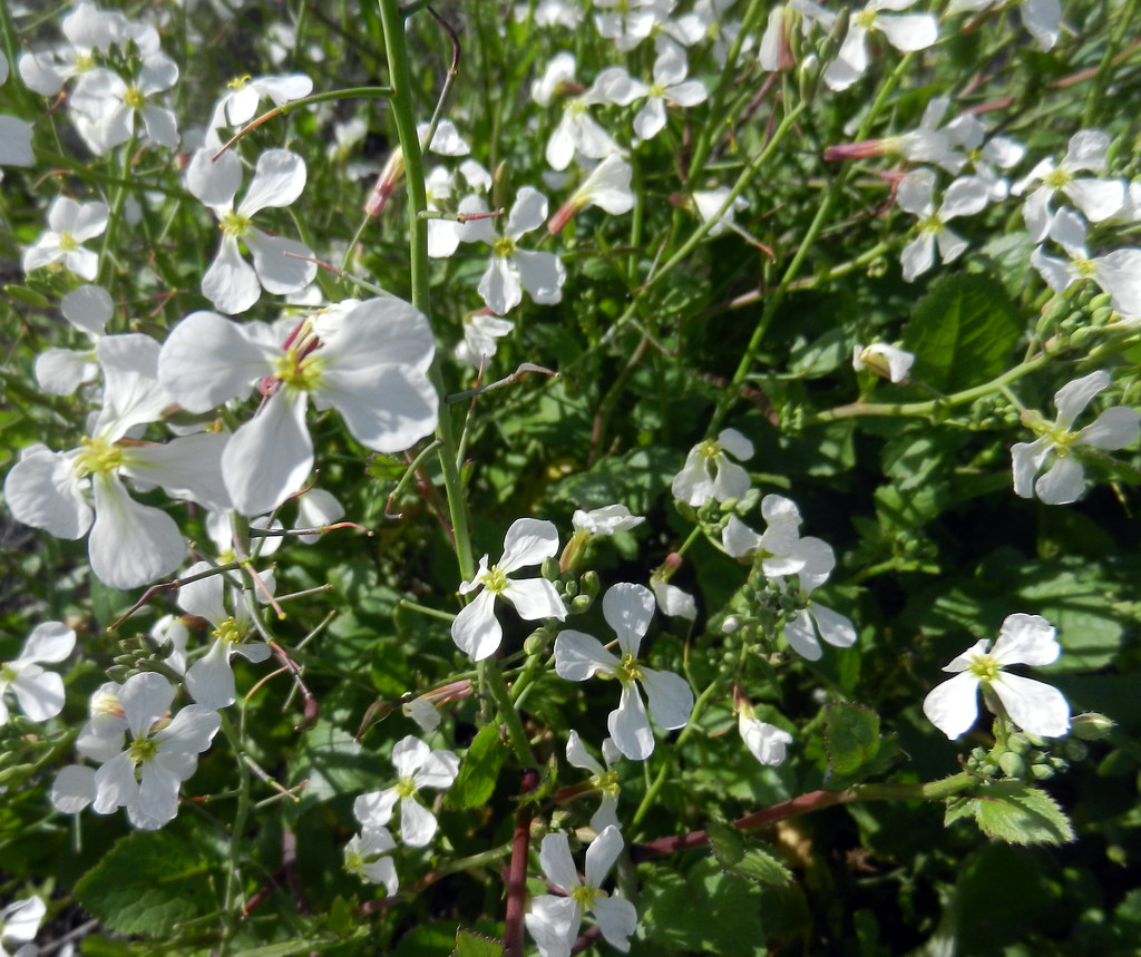
Snow white

Deep purple
Topographic Map of Wannamal WA, Australia
Find elevation by address:

Places near Wannamal WA, Australia:
Shire Of Chittering
174 Wowra Dr
Gingin
Lennard Brook
Julimar
19 Powder Bark Rd
Shire Of Toodyay
122 Malkup Brook Rd
419 Parkland Dr
Shire Of Gingin
West Toodyay
2 Wellington St
5 Mastalerz Retreat
28 Jubilee St
Toodyay
20 Duke St
Stirlingia Drive
129 Wandoo Cir
Bullsbrook
Pearce
Recent Searches:
- Elevation of Lalagbene, Bayelsa, Nigeria
- Elevation of Ogbosuware Health Centre, 2WWJ+4PJ, Lalagbene, Bayelsa, Nigeria
- Elevation of Duckhorn Ct, Las Vegas, NV, USA
- Elevation of Garretts Run Rd, Ford City, PA, USA
- Elevation of N WI-55, Freedom, WI, USA
- Elevation map of Hadiya, Ethiopia
- Elevation of Hosaina, Ethiopia
- Elevation of Verde Terrace, North Port, FL, USA
- Elevation of US-, Leesburg, FL, USA
- Elevation of Summit Dr, Kerrville, TX, USA