Elevation of Wani- Village Rd, Rutledge, TN, USA
Location: United States > Tennessee > Grainger County > Rutledge >
Longitude: -83.454281
Latitude: 36.223393
Elevation: 328m / 1076feet
Barometric Pressure: 97KPa
Elevation Map:
Satellite Map:
Related Photos:
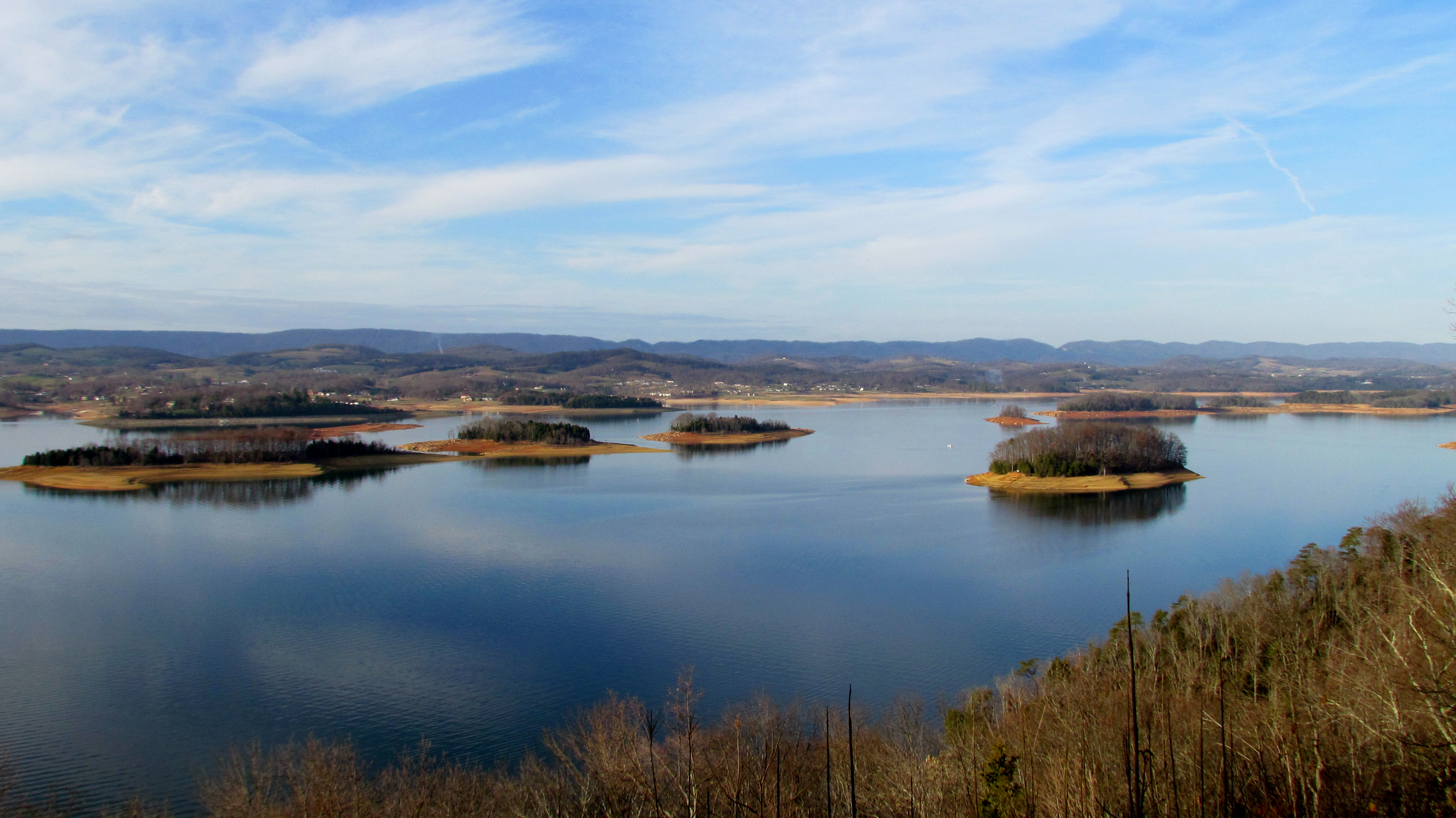
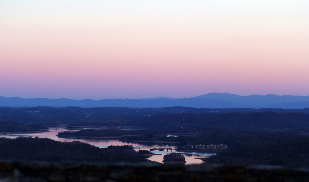
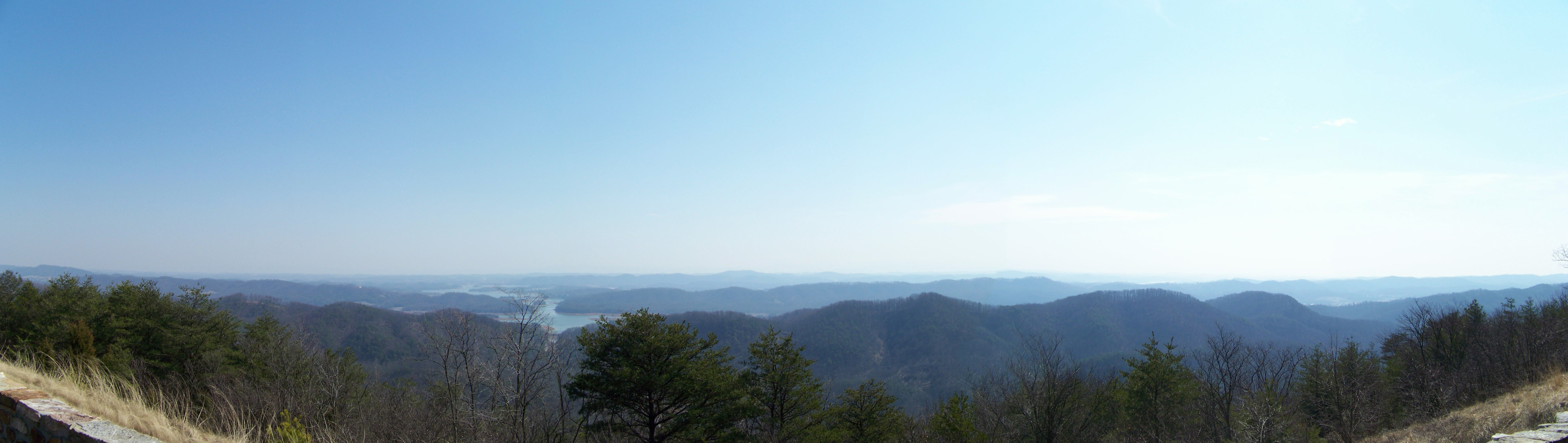
Cherokee Lake Panorama

Hamblen County, TN Courthouse - Morristown, TN

Morristown College- Morristown TN
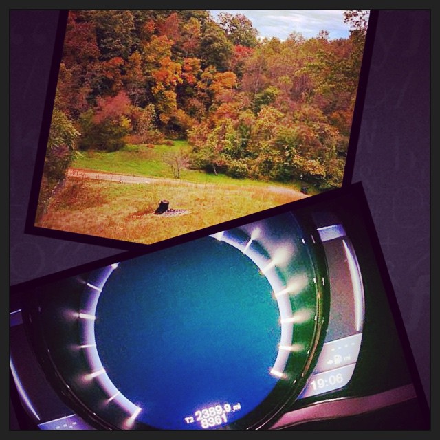
2390 miles later.. The eastbound leg of #roadtrip2014 has come to an end. And I am greeted with an awesome view from the deck of my family friends place.
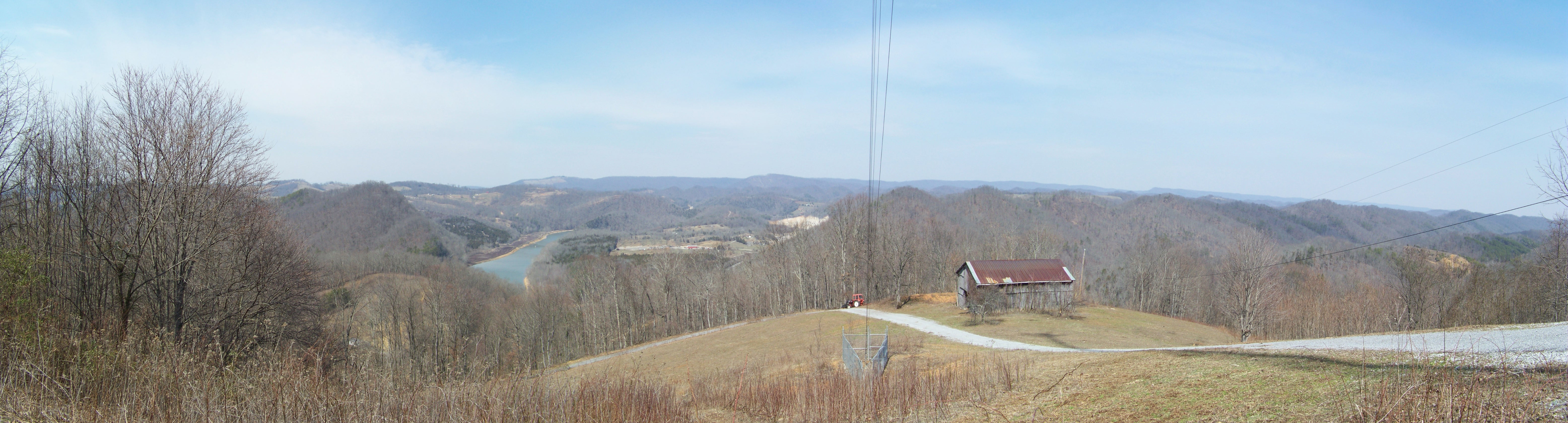
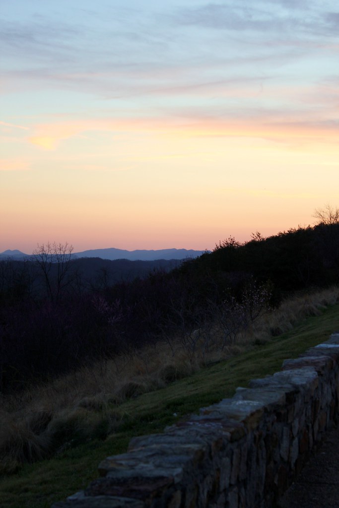
Broken Valley Mtn Top Panaromic View

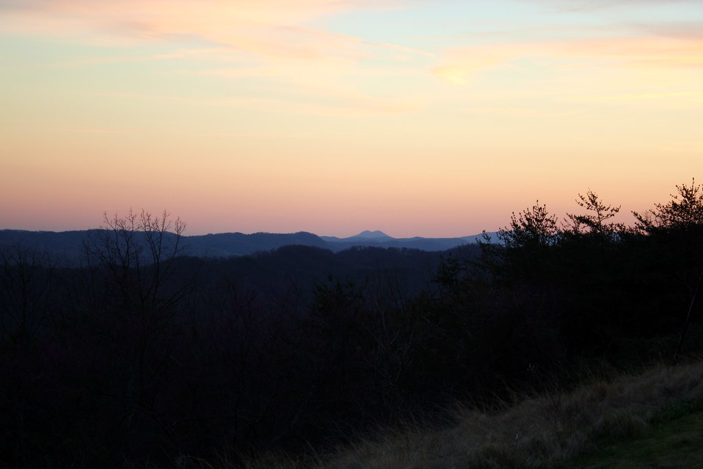
Mtn top view again from Claiborne Co.
2013.06.04.15 Grainger Co.
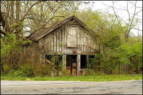
Mill Springs Store
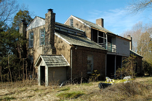
Five Chimneys Rear View
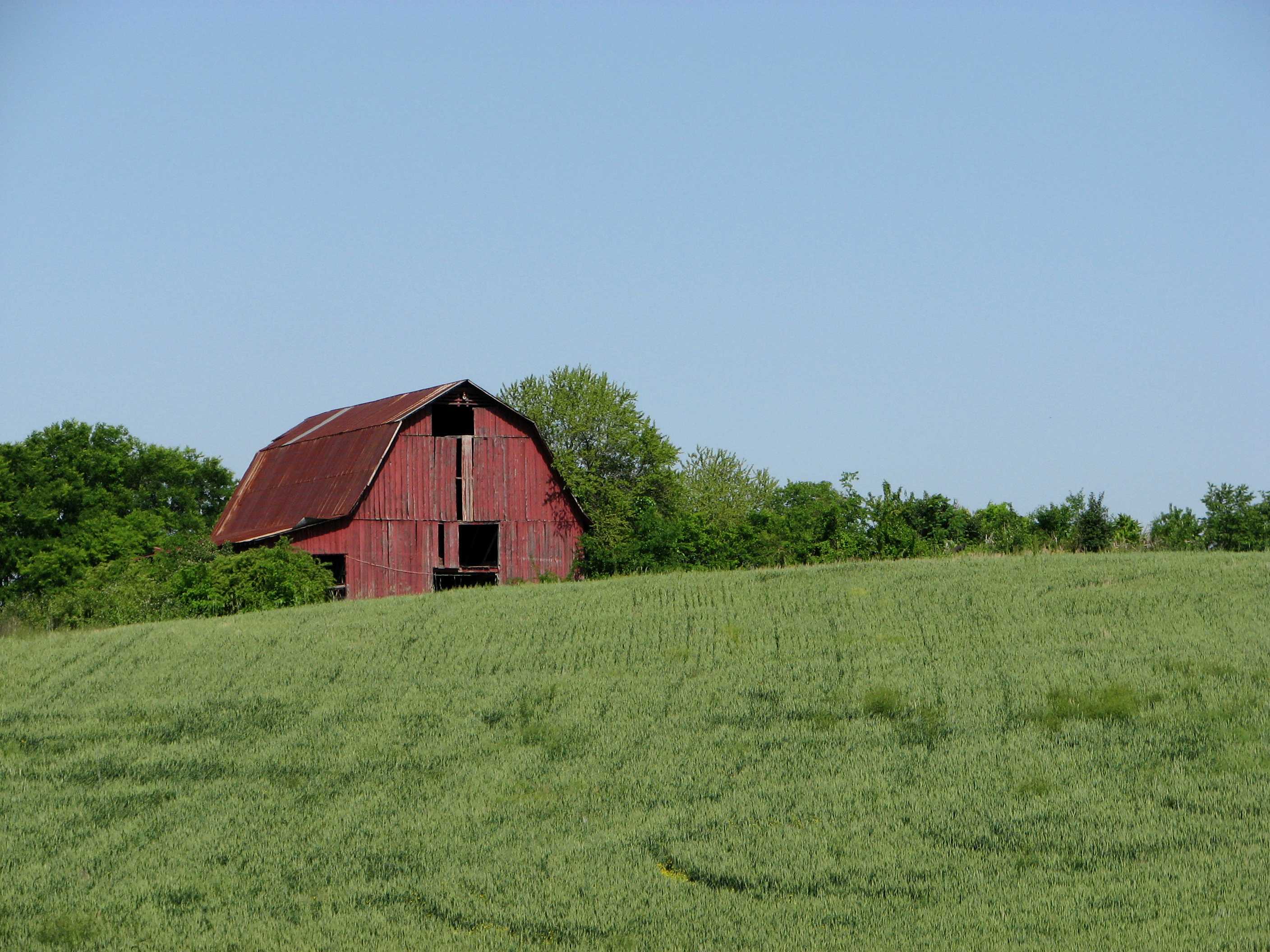
Red Barn on a Sea of Green.
Mossy Creek WVA
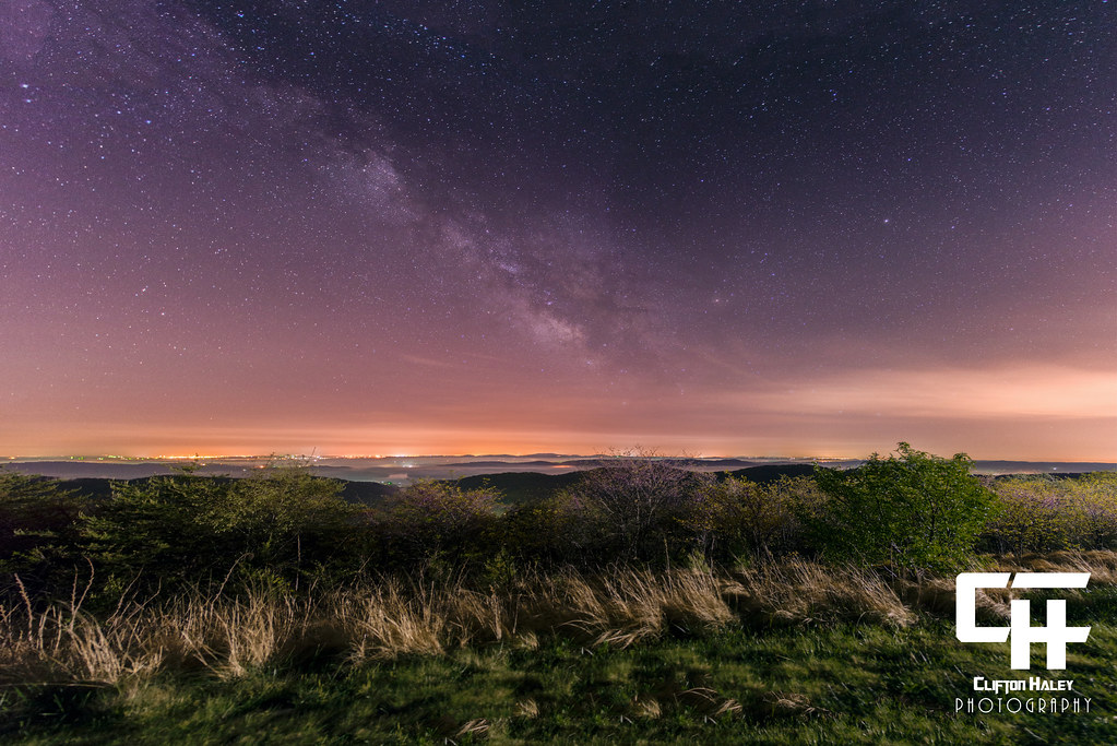
Milky Way Panorama - 12 Images
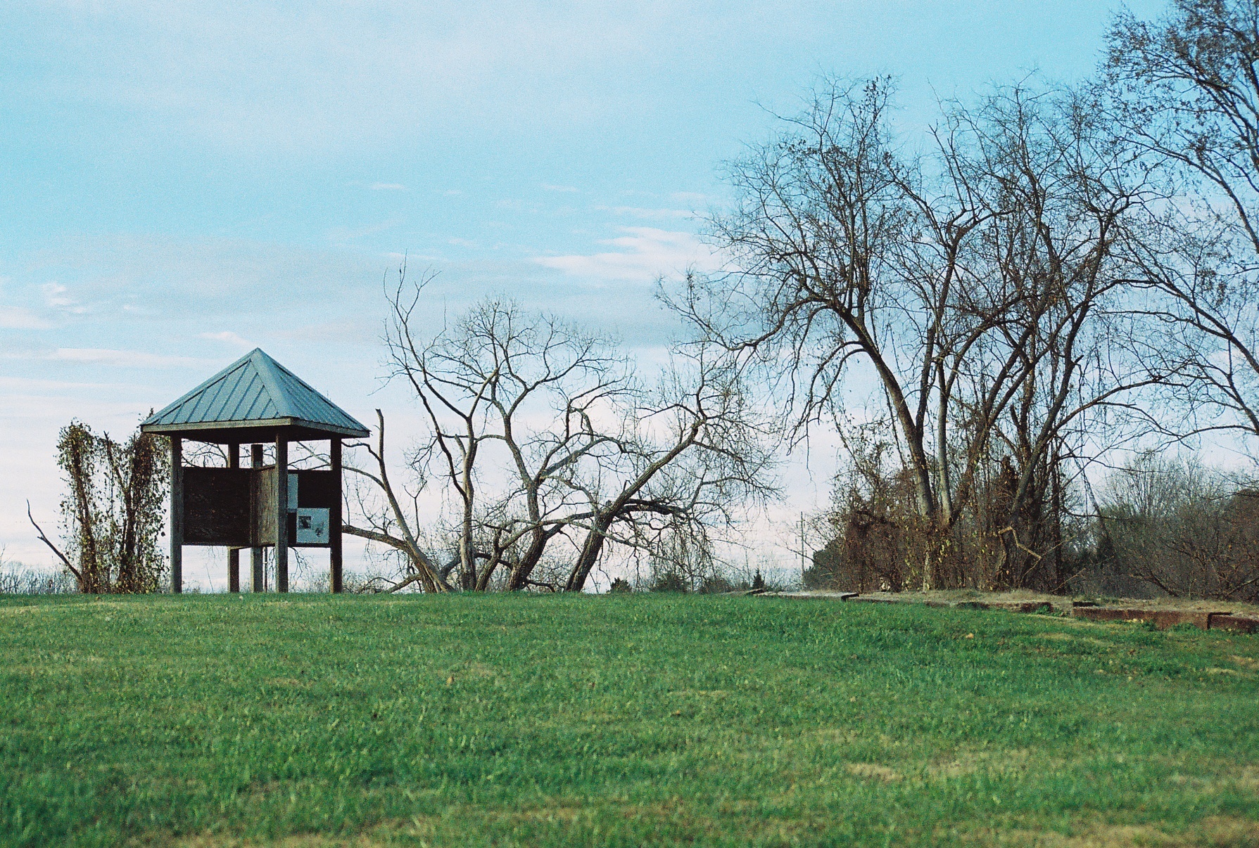
They're flooding this valley

woods(022)
'brellas
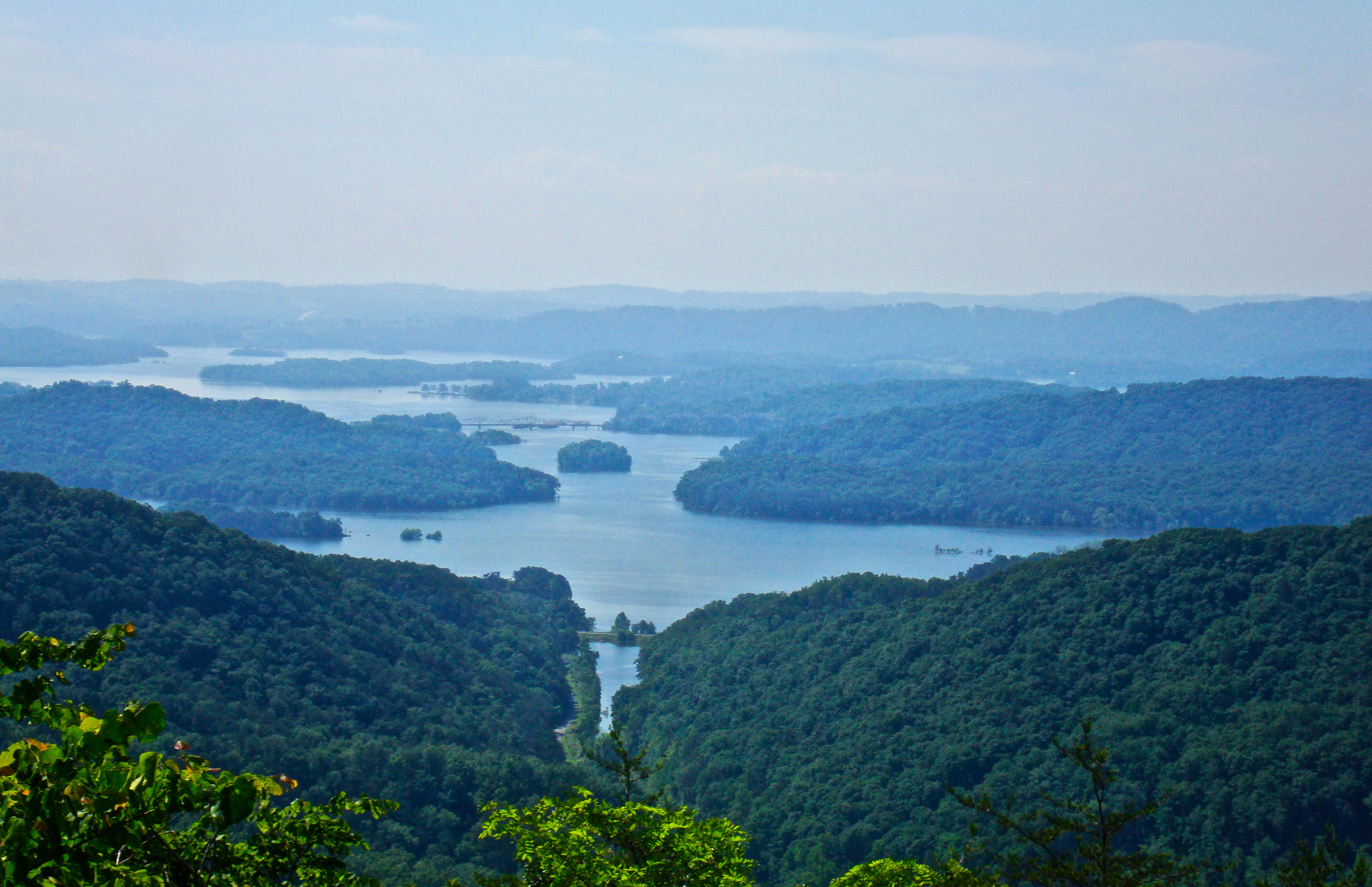
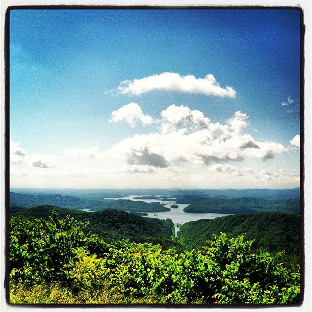
Cherokee Lake lookout
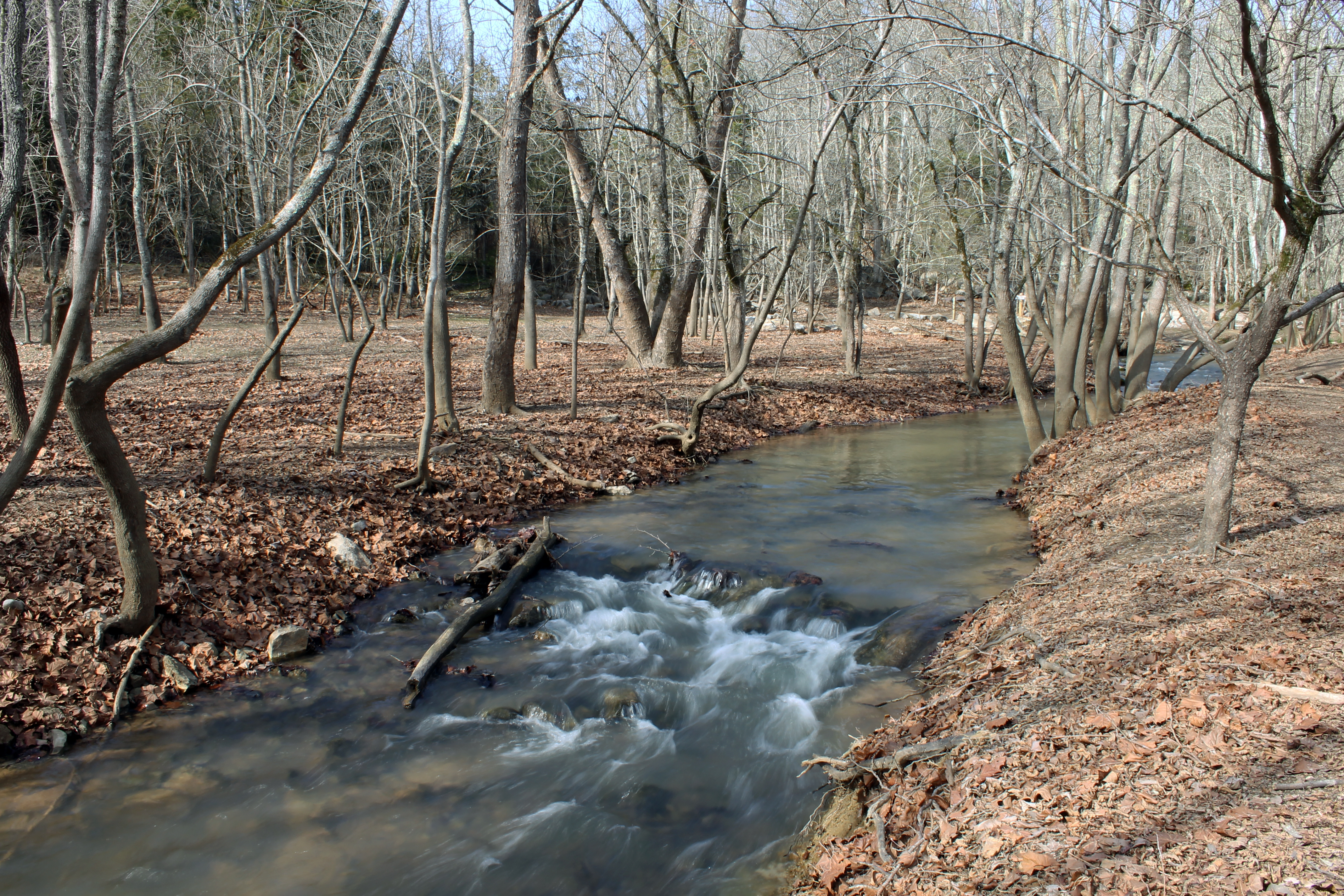
Waterfall in the Woods

Panther Creek trail

Bristol TN/VA April 2011
Bristol TN/VA April 2011
Bristol TN/VA April 2011

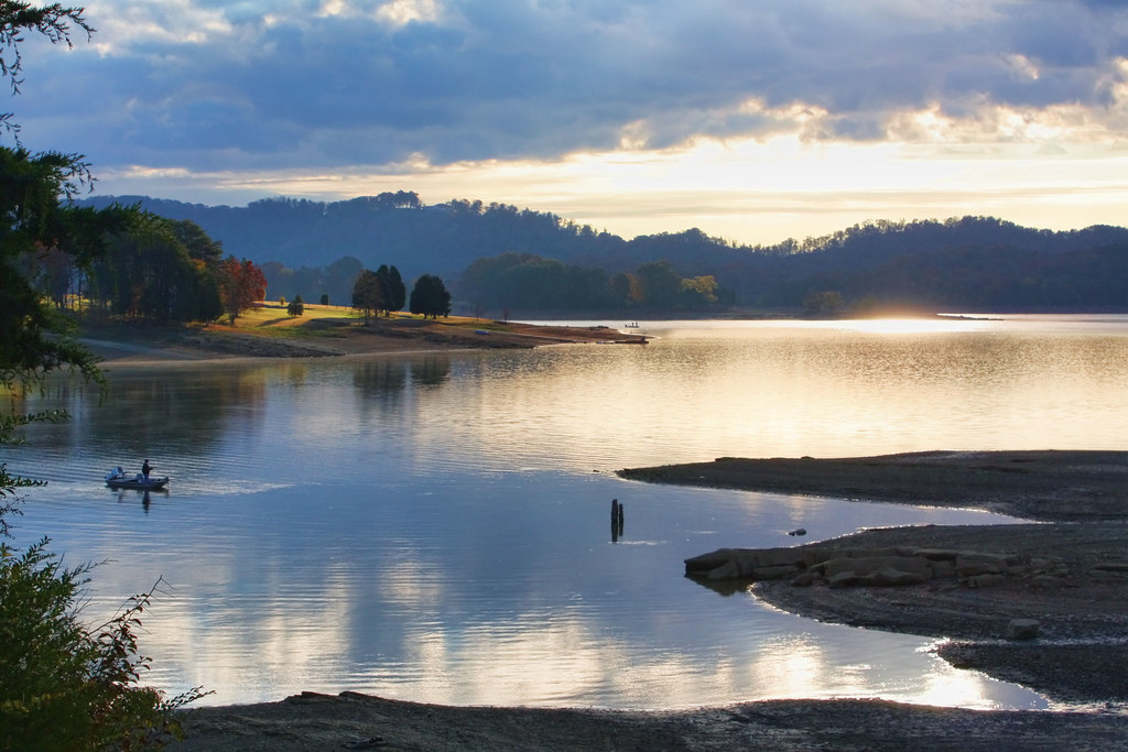
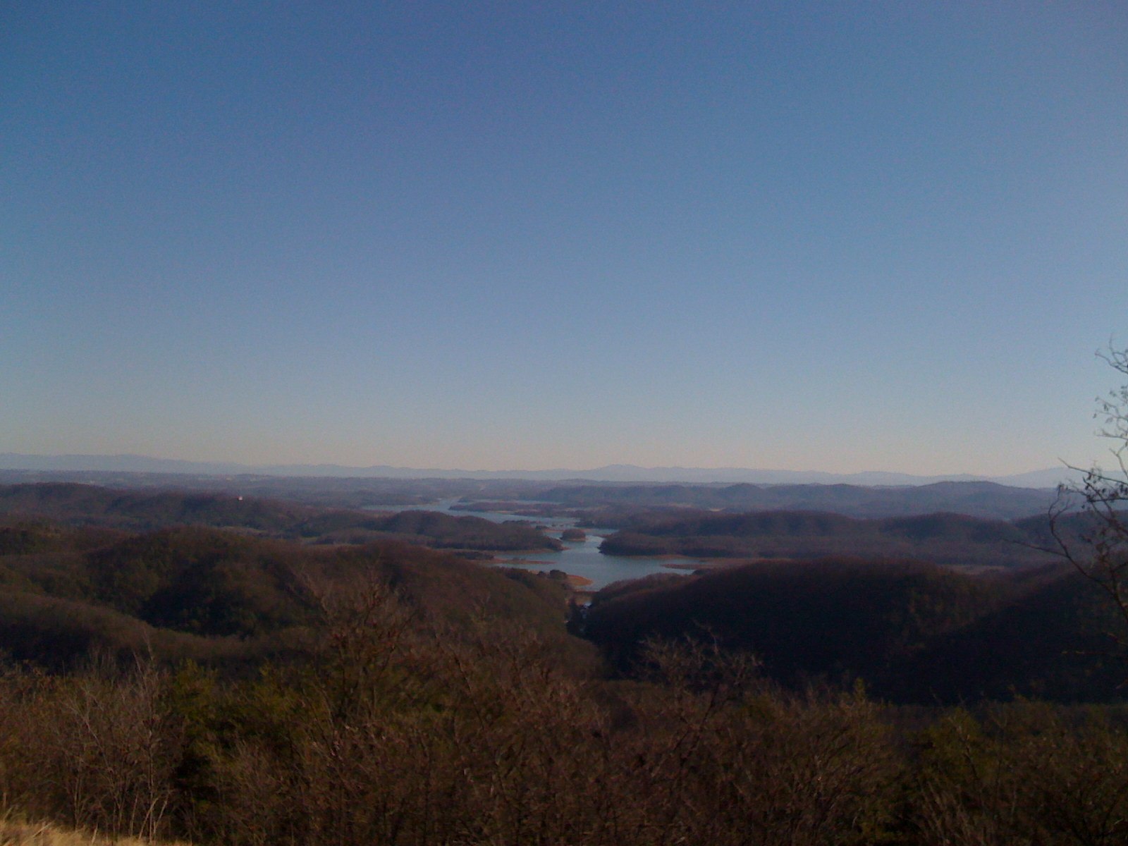
Cherokee Lake (1)
Bristol TN/VA April 2011

Thorn Hill, Tn

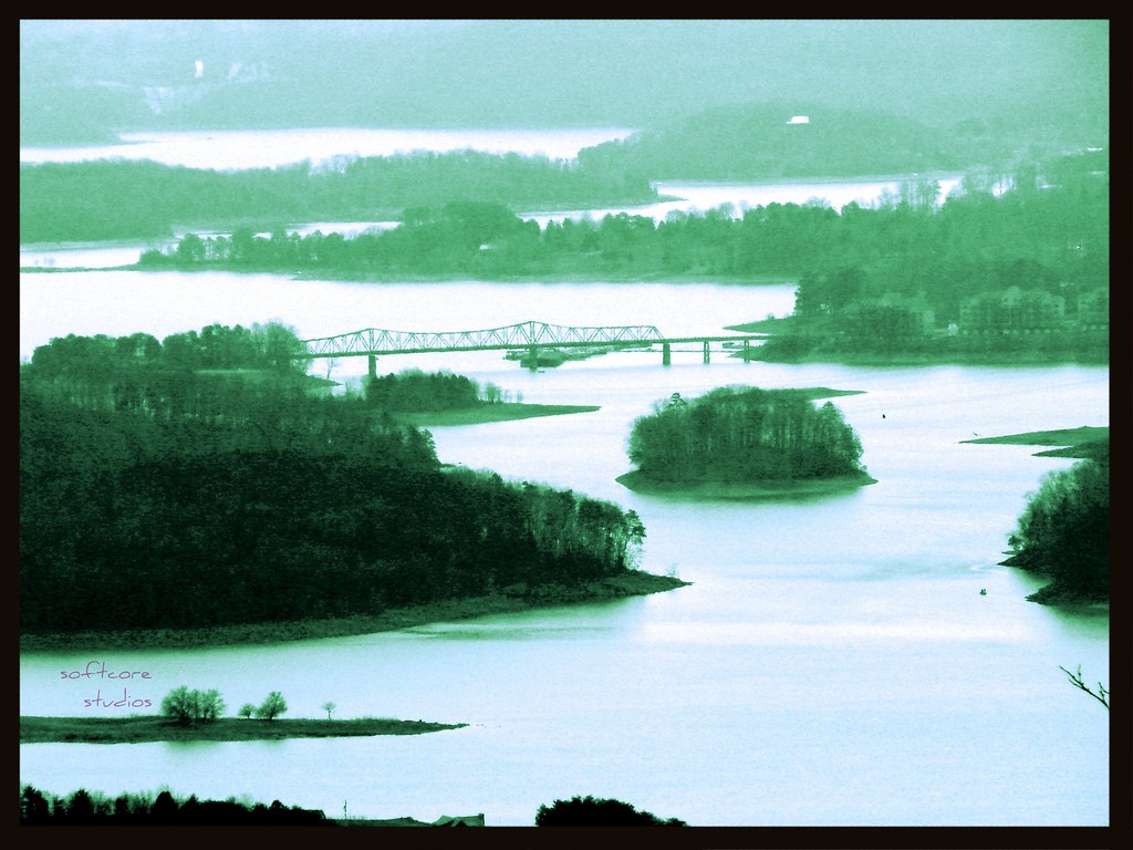
Lake_Cherokee-223.jpg
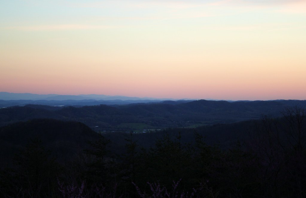
From Clinch Mtn overlook (1)
On the way to Morristown TN. Beautiful day and overlook. #travel

Great Smoky Mountains 2014
IMG_0121.JPG
Bristol TN/VA April 2011
Topographic Map of Wani- Village Rd, Rutledge, TN, USA
Find elevation by address:

Places near Wani- Village Rd, Rutledge, TN, USA:
1428 Rocky Flat Rd
Rutledge, TN, USA
1875 Bluebird Cir
Rutledge
595 Smokey Rd
1412 Joe Stephens Rd
7768 Rutledge Pike
2150 Joe Stephens Rd
Coffey Lane
Riverview Rd, Bean Station, TN, USA
Campground Rd, Thorn Hill, TN, USA
Grainger County
Lookout Mountain Road
Morristown, TN, USA
Crockett Ridge Road
123 Dunville Gap Rd
Dalton Knob
1270 Puncheon Creek Rd
Thorn Hill
5311 Cracker Neck Rd
Recent Searches:
- Elevation of Badaber, Peshawar, Khyber Pakhtunkhwa, Pakistan
- Elevation of SE Heron Loop, Lincoln City, OR, USA
- Elevation of Slanický ostrov, 01 Námestovo, Slovakia
- Elevation of Spaceport America, Co Rd A, Truth or Consequences, NM, USA
- Elevation of Warwick, RI, USA
- Elevation of Fern Rd, Whitmore, CA, USA
- Elevation of 62 Abbey St, Marshfield, MA, USA
- Elevation of Fernwood, Bradenton, FL, USA
- Elevation of Felindre, Swansea SA5 7LU, UK
- Elevation of Leyte Industrial Development Estate, Isabel, Leyte, Philippines