Elevation of Wampum Way, Weed, CA, USA
Location: United States > California > Siskiyou County > Weed >
Longitude: -122.36916
Latitude: 41.5264082
Elevation: 875m / 2871feet
Barometric Pressure: 91KPa
Elevation Map:
Satellite Map:
Related Photos:
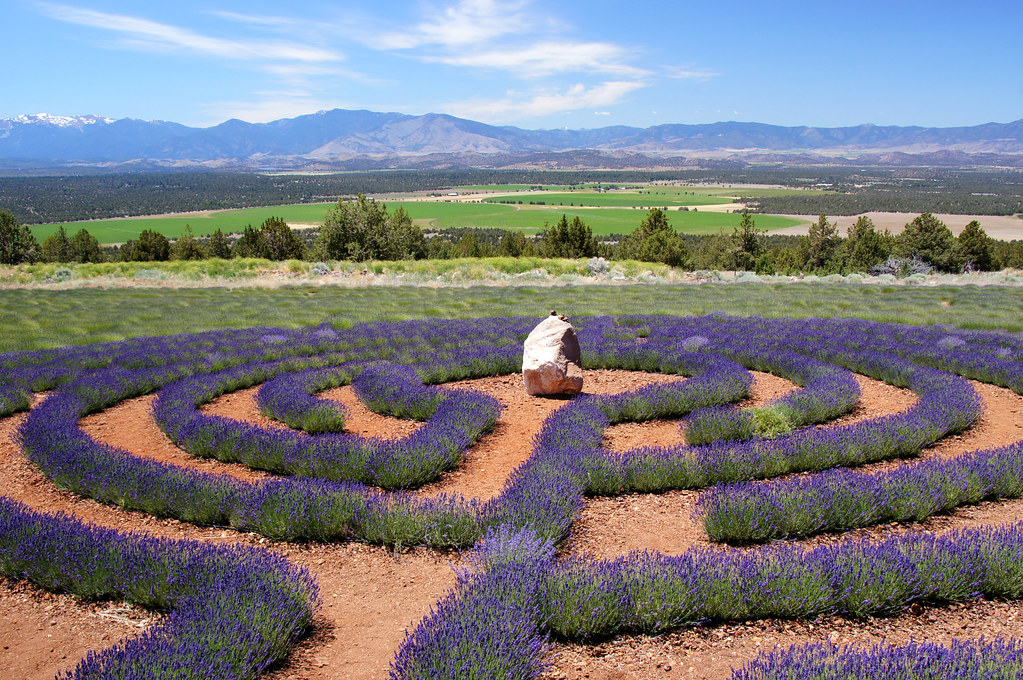
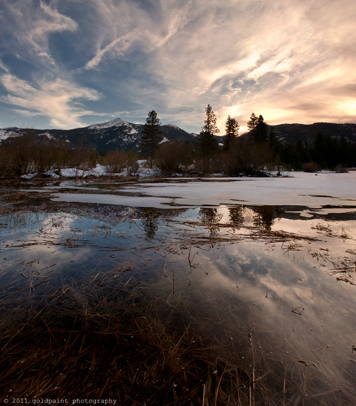
Crop Circles

When the sun is shining I can do anything; no mountain is too high, no trouble too difficult to overcome...

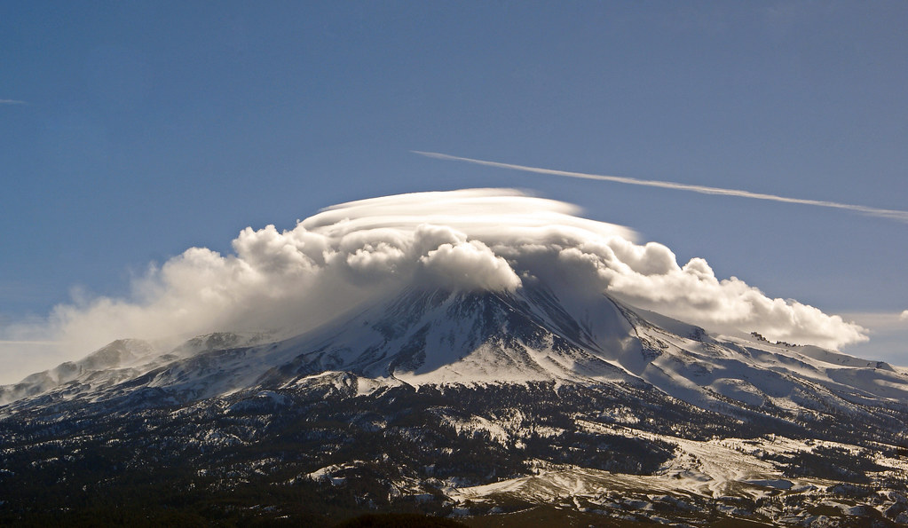
Shasta Rays

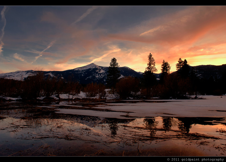
~ Evening Whispers ~
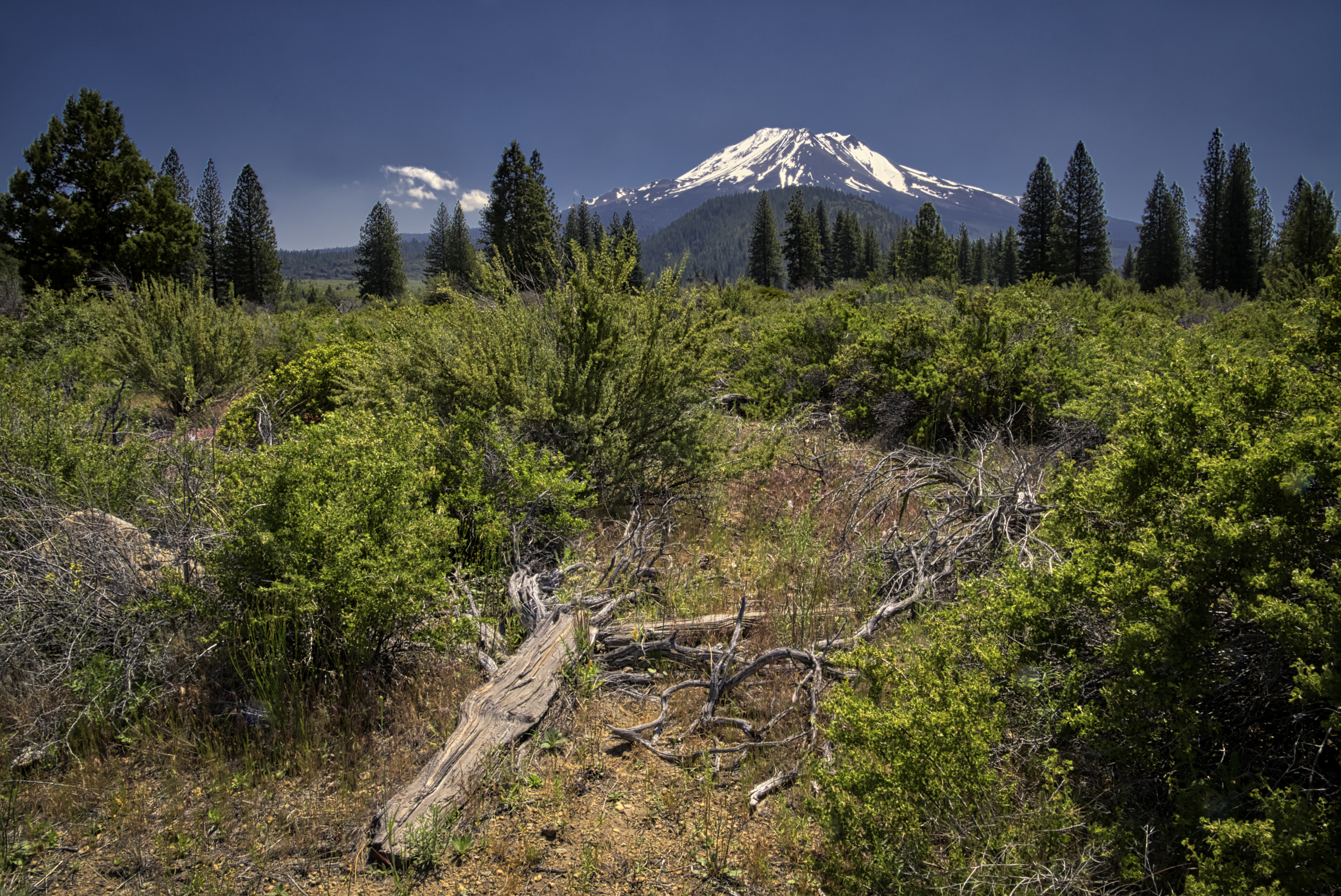
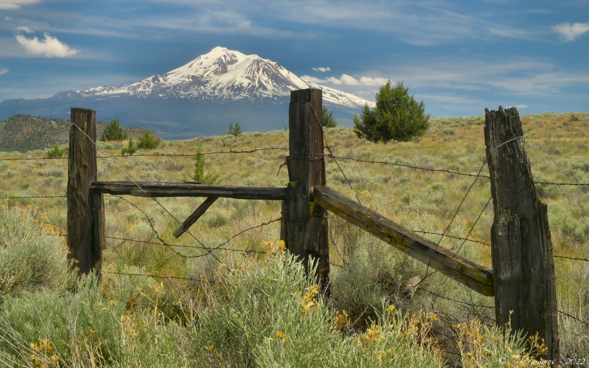
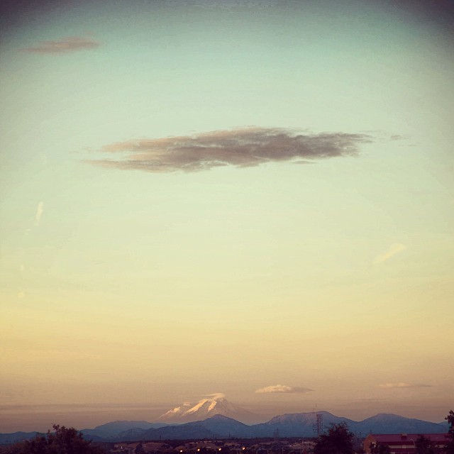
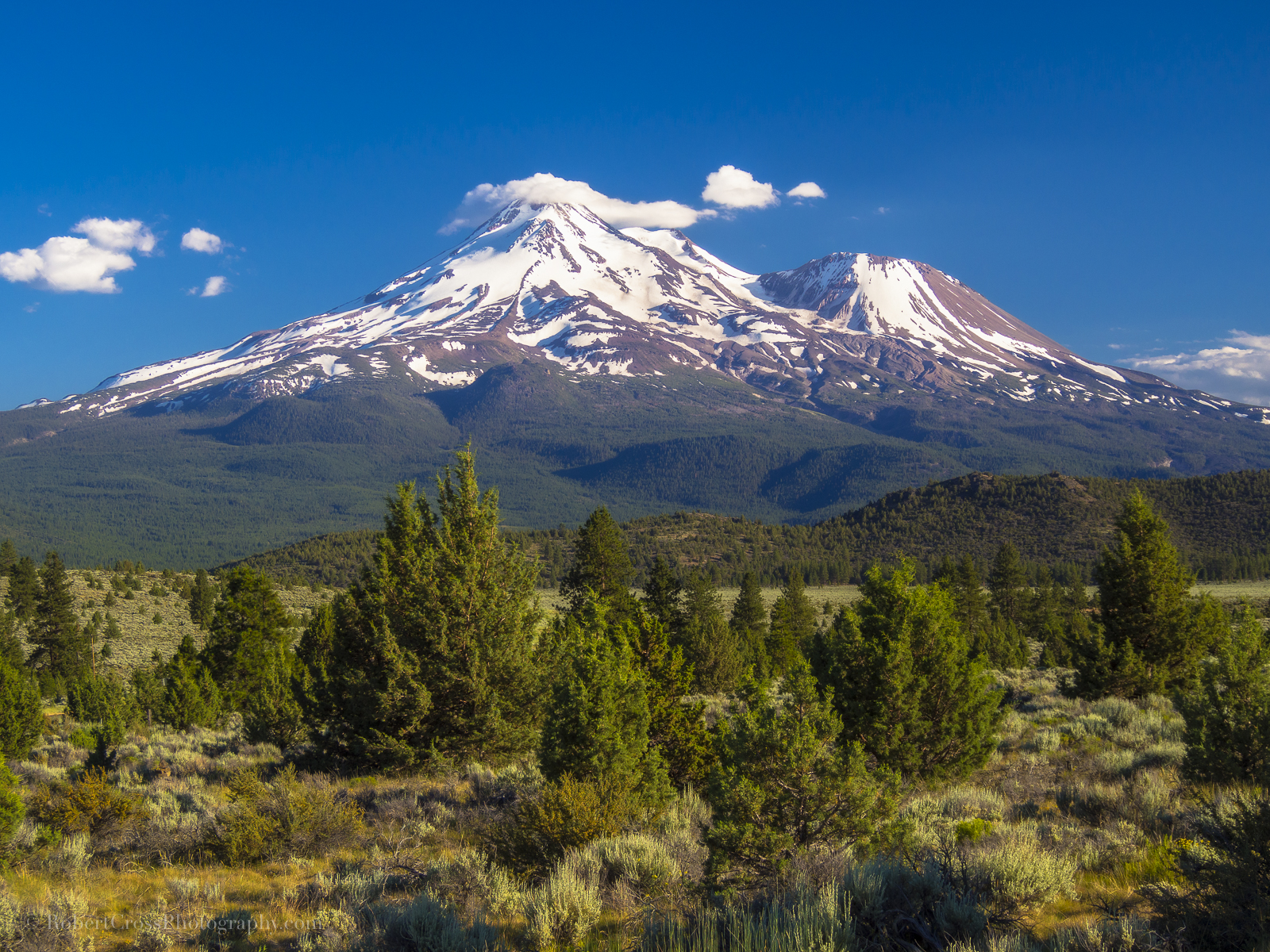
Mt Shasta through the weeds of Weed
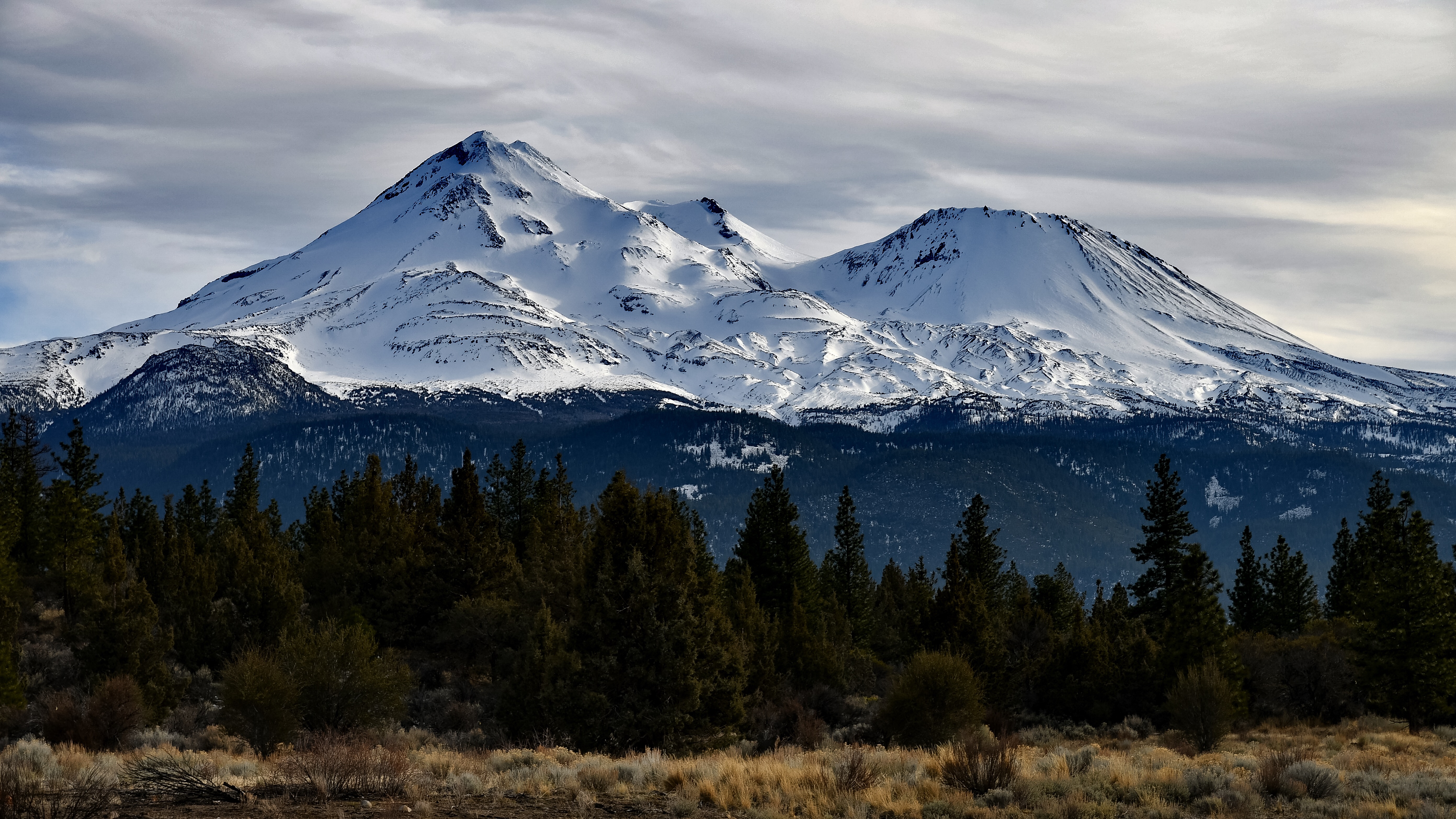
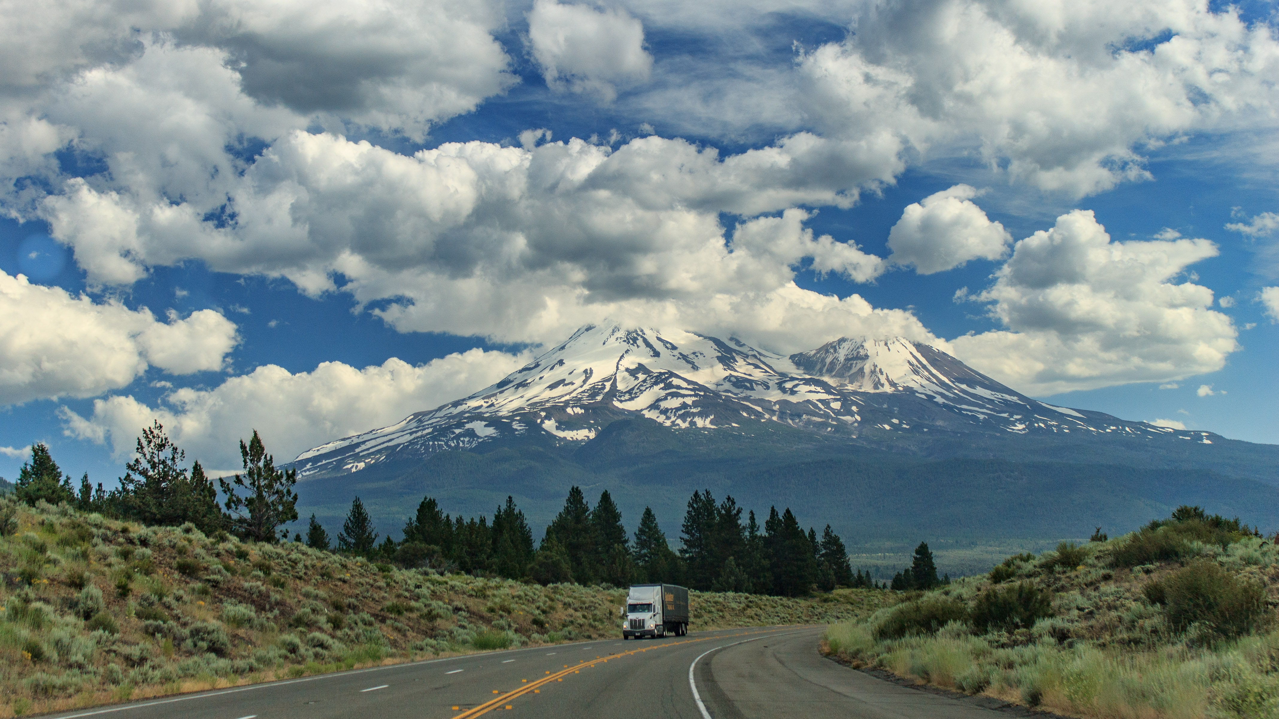
Mount Shasta - 14,179' (4,322m)

Everything that is made beautiful and fair and lovely is made for the eye of one who sees…
With the coming of spring, I am calm again…
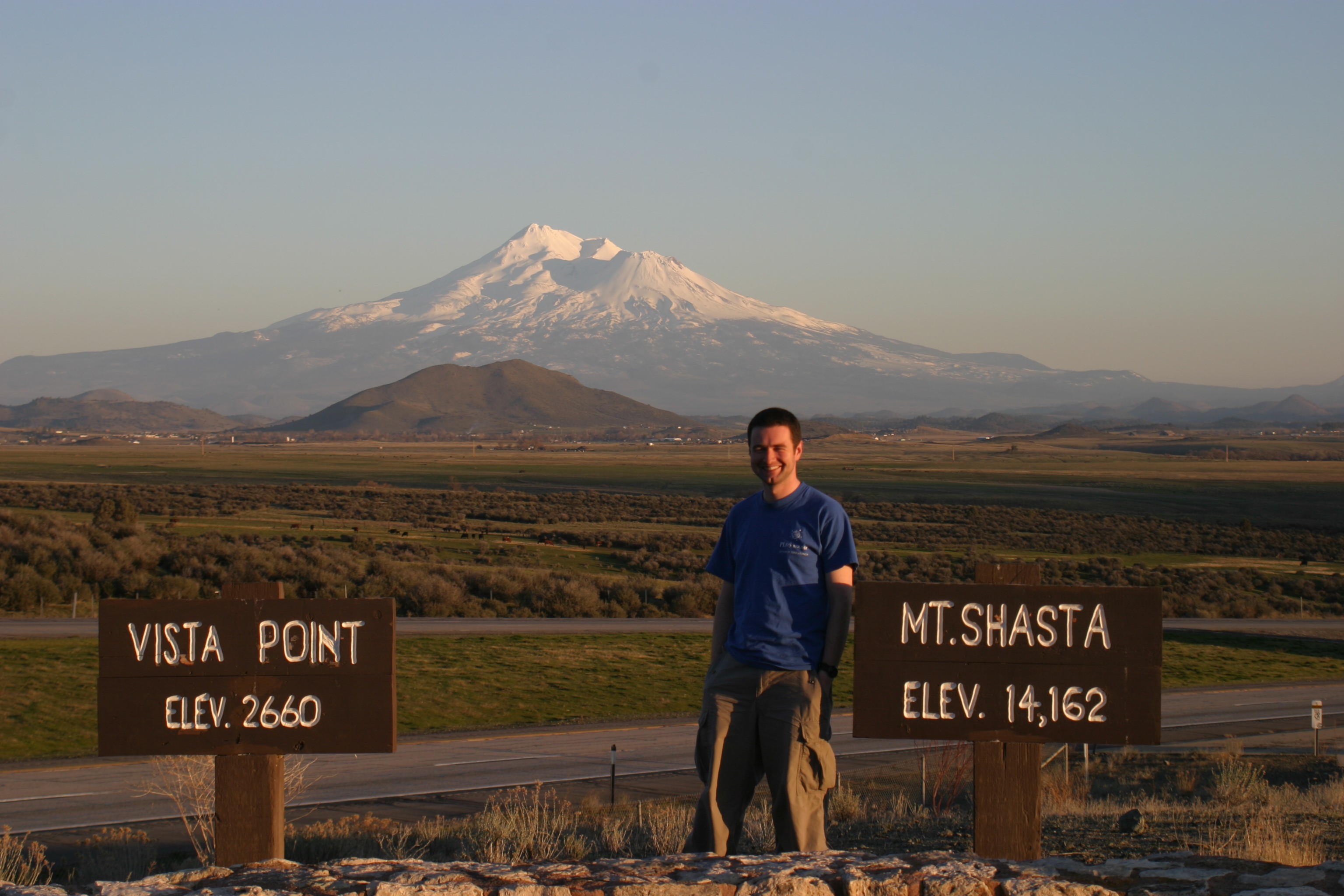
Mt. Shasta in No-Cal
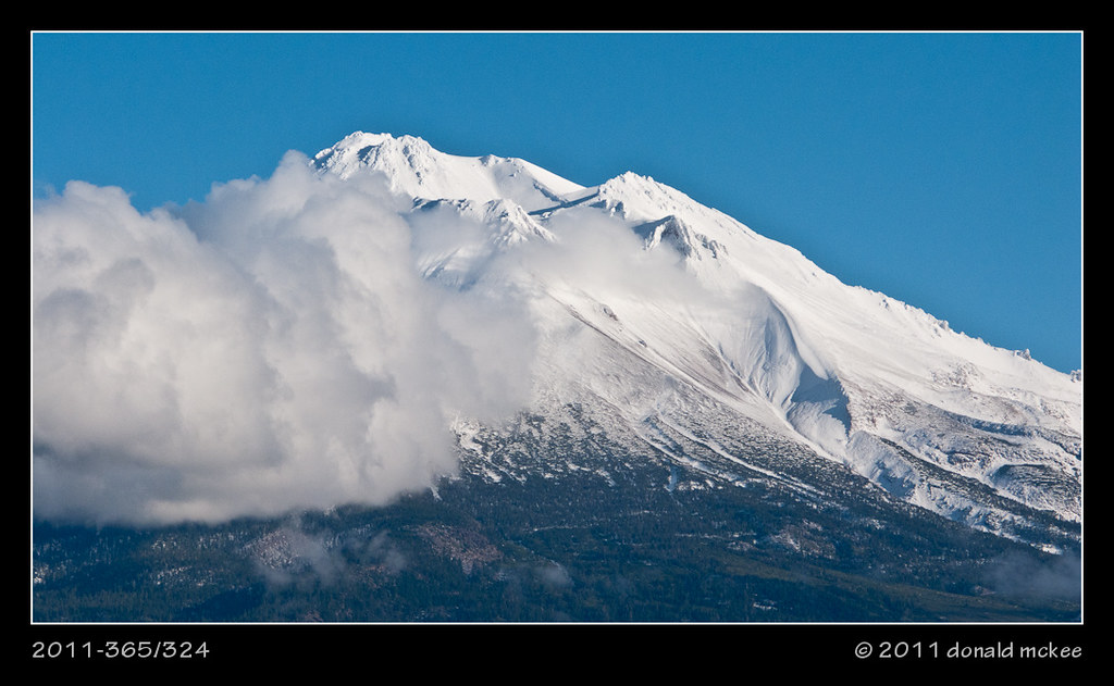
2011-365/324 - Mt. Shasta
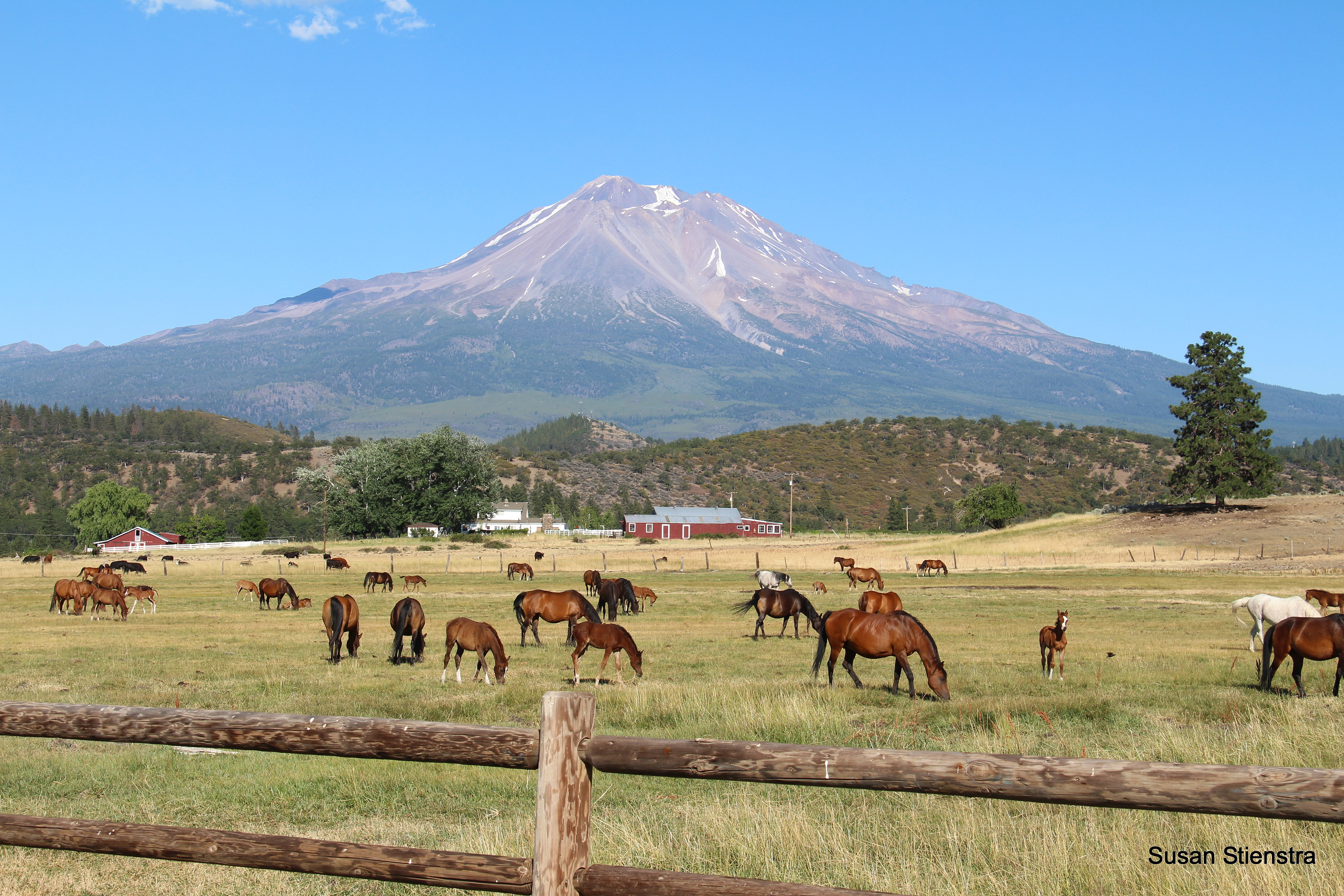
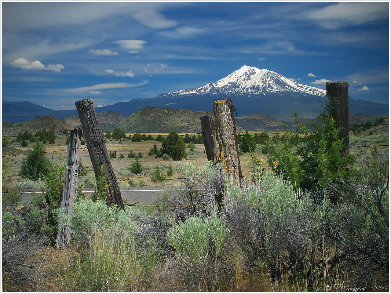
Pasture with a View of Mount Shasta
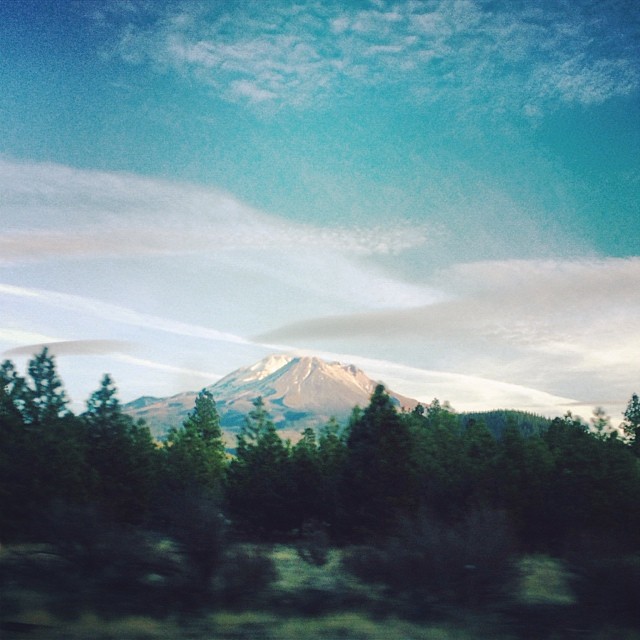
View from the car window
Undisturbed Rapture
Richard Hall, Mt Shasta, CA, 2004-03-06 (1 of 1).jpg
views, Mt Shasta, CA, 2004-03-06 (4 of 4).jpg
Nature's Drawing Board

Weed Calif AUG 2012-7
"...and then I realized, adventures are the best way to learn." Good morning from Mount Shasta :) // #mountshasta #california #mountain #cloud #gradient #nature #travel #view #morning #sunrise
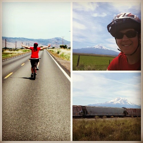
#biking old hwy 99 from weed to gazelle, views of #mtshasta the whole way. #caliviews #califarms #cowcountry
a2007-06-07
Mt. Shasta

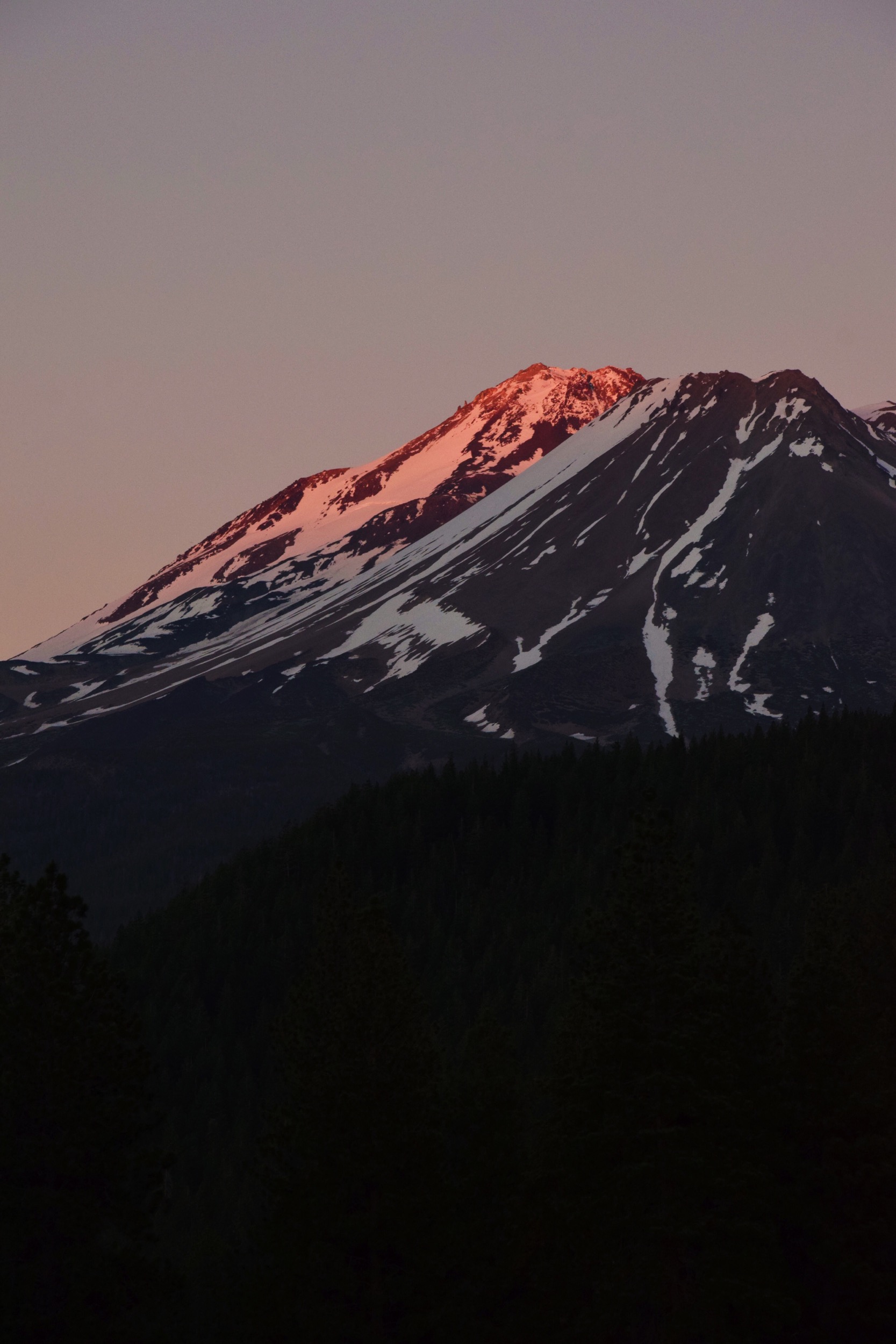
Mount Shasta at Sundown

1987 Siskiyou Line Helper Set of the Year
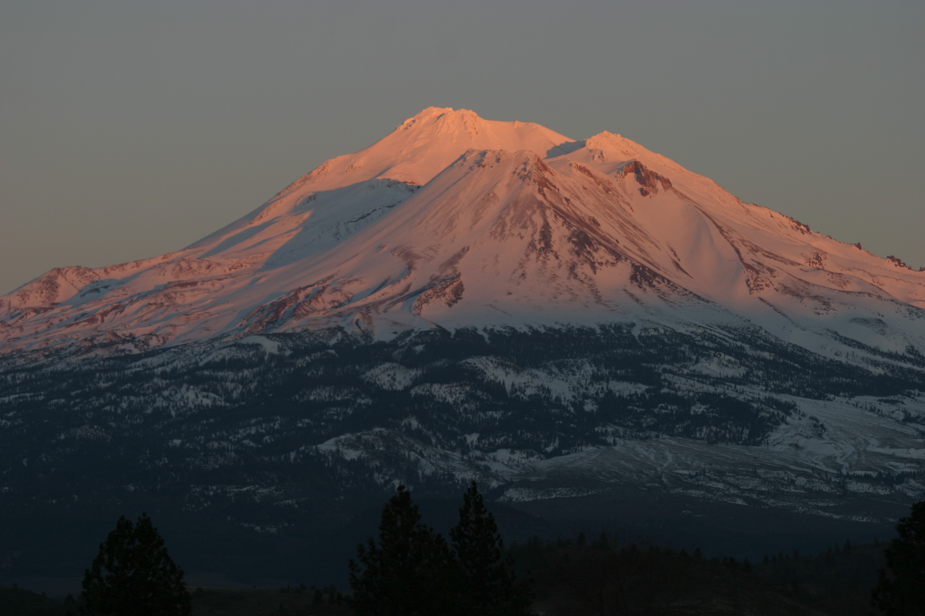
Shasta At Sunset
h70 073 (2) Mt. Shasta
I like the dreams of the future better than the history of the past…
Plutos Cave (Guiding Light)
Shasta Blue & Green
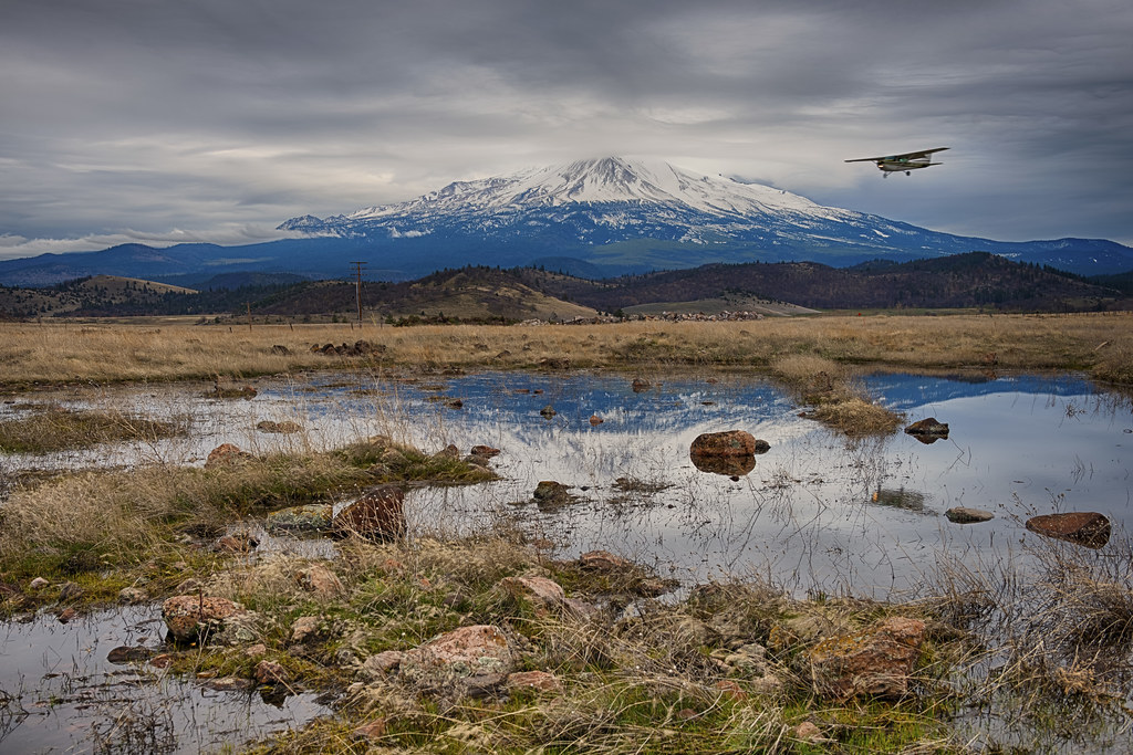
7073 (2)Mt. Shasta-Weed Airport
The Dimming Of The Day
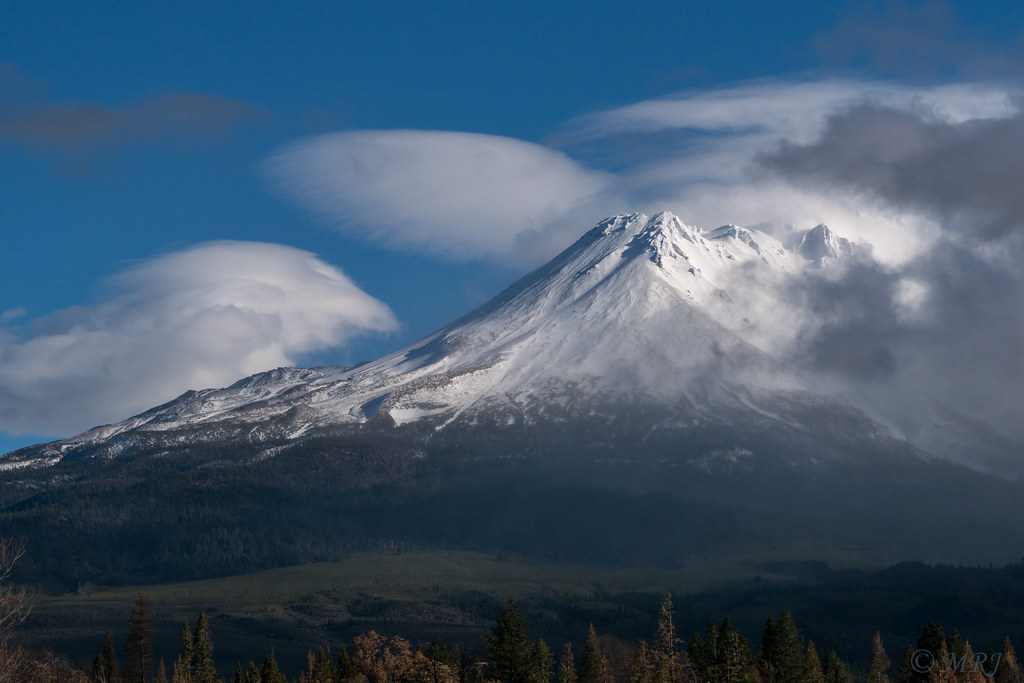
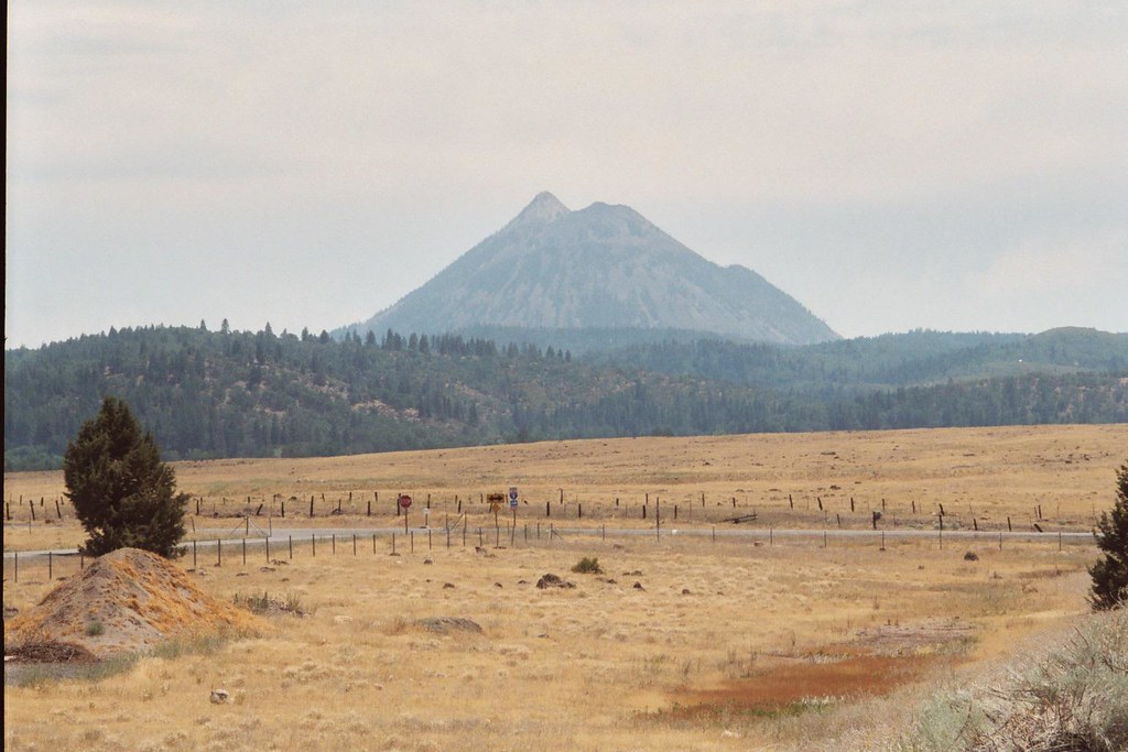
Peak in California
1.29
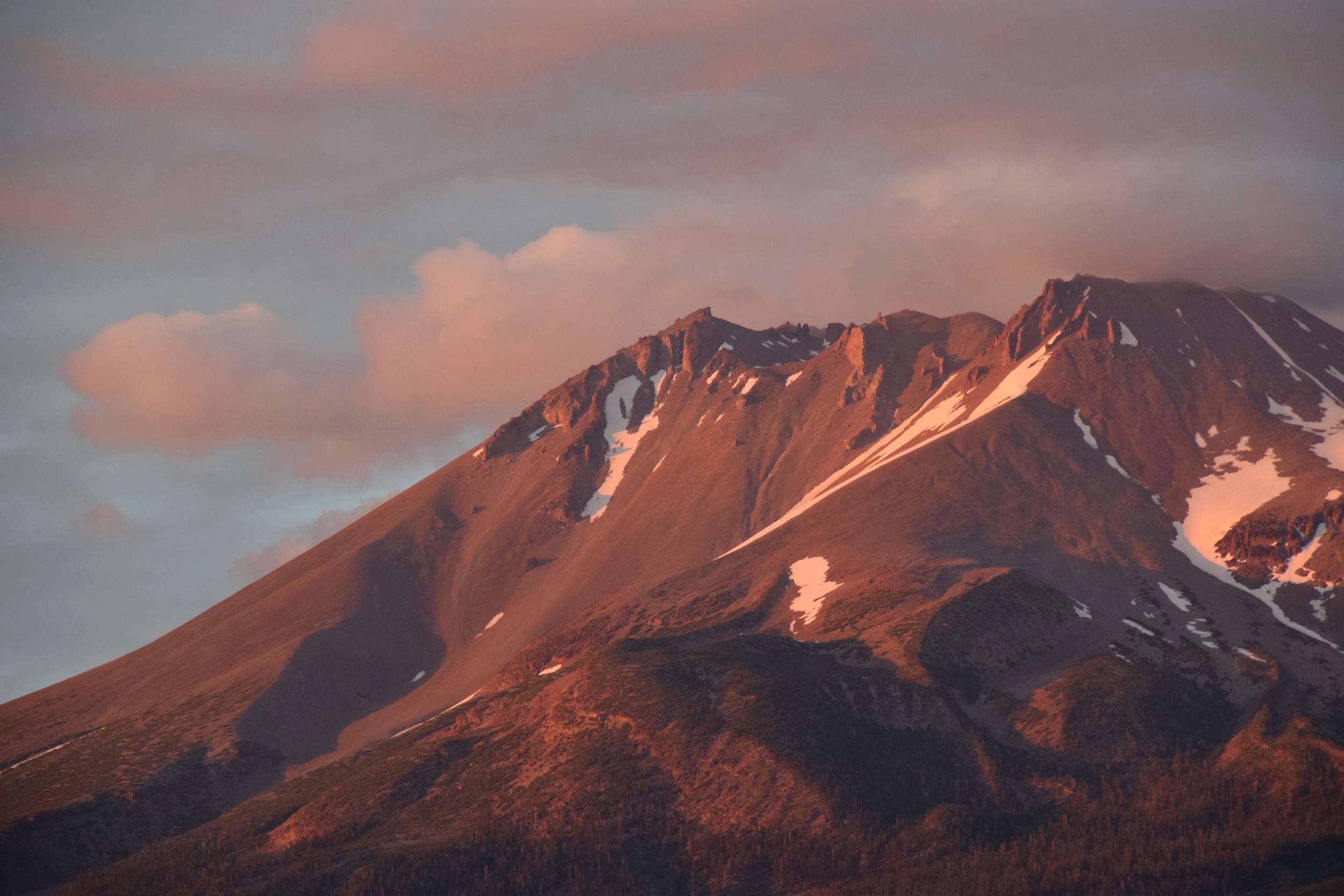
Last Light
IMG_0029.JPG

Defintely a Detour
Unfamilar territory
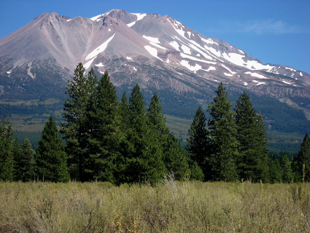
Mt. Shasta
Topographic Map of Wampum Way, Weed, CA, USA
Find elevation by address:

Places near Wampum Way, Weed, CA, USA:
Valwood Place
16516 Valwood Pl
16516 Valwood Pl
Ashwood Court
4936 Rainbow Dr
4936 Rainbow Dr
Hill Drive
15516 Valley View Dr
5133 Hill Dr
6140 Wood Ct
Carrick Ave, Weed, CA, USA
Creamery Ln, Weed, CA, USA
Edgewood
Weed
Motel 6 Weed - Mount Shasta
439 Walnut St
1800 Black Butte Dr
11020 N Old Stage Rd
Black Butte
Black Butte Drive
Recent Searches:
- Elevation of Corcoran Ln, Suffolk, VA, USA
- Elevation of Mamala II, Sariaya, Quezon, Philippines
- Elevation of Sarangdanda, Nepal
- Elevation of 7 Waterfall Way, Tomball, TX, USA
- Elevation of SW 57th Ave, Portland, OR, USA
- Elevation of Crocker Dr, Vacaville, CA, USA
- Elevation of Pu Ngaol Community Meeting Hall, HWHM+3X7, Krong Saen Monourom, Cambodia
- Elevation of Royal Ontario Museum, Queens Park, Toronto, ON M5S 2C6, Canada
- Elevation of Groblershoop, South Africa
- Elevation of Power Generation Enterprises | Industrial Diesel Generators, Oak Ave, Canyon Country, CA, USA