Elevation of Wamba, Nigeria
Location: Nigeria >
Longitude: 8.6023254
Latitude: 8.943208
Elevation: 389m / 1276feet
Barometric Pressure: 97KPa
Elevation Map:
Satellite Map:
Related Photos:

gIMG_2635b

gIMG_2633b

IMG_2842
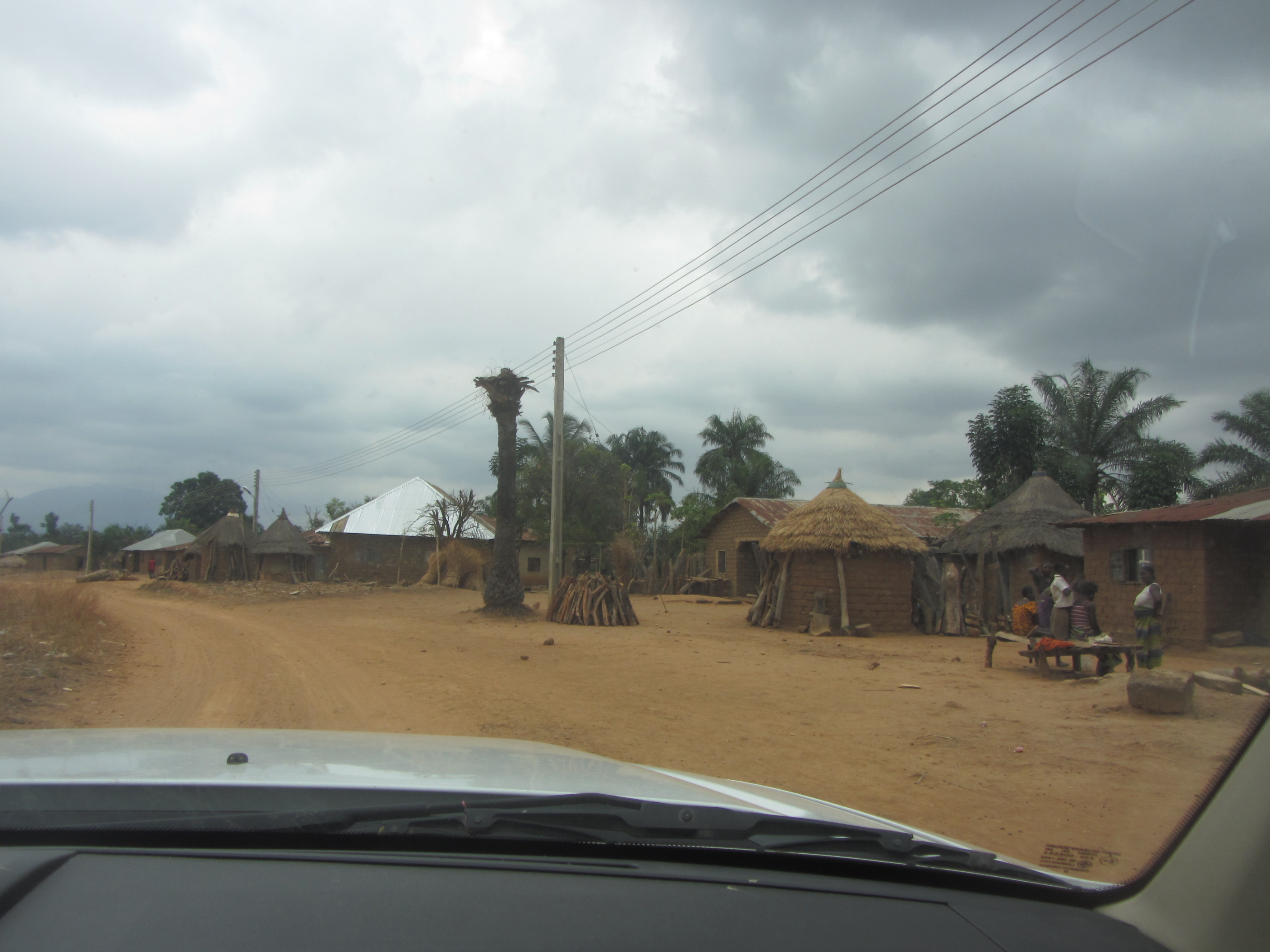
IMG_2596

IMG_2634

IMG_2630

IMG_2627
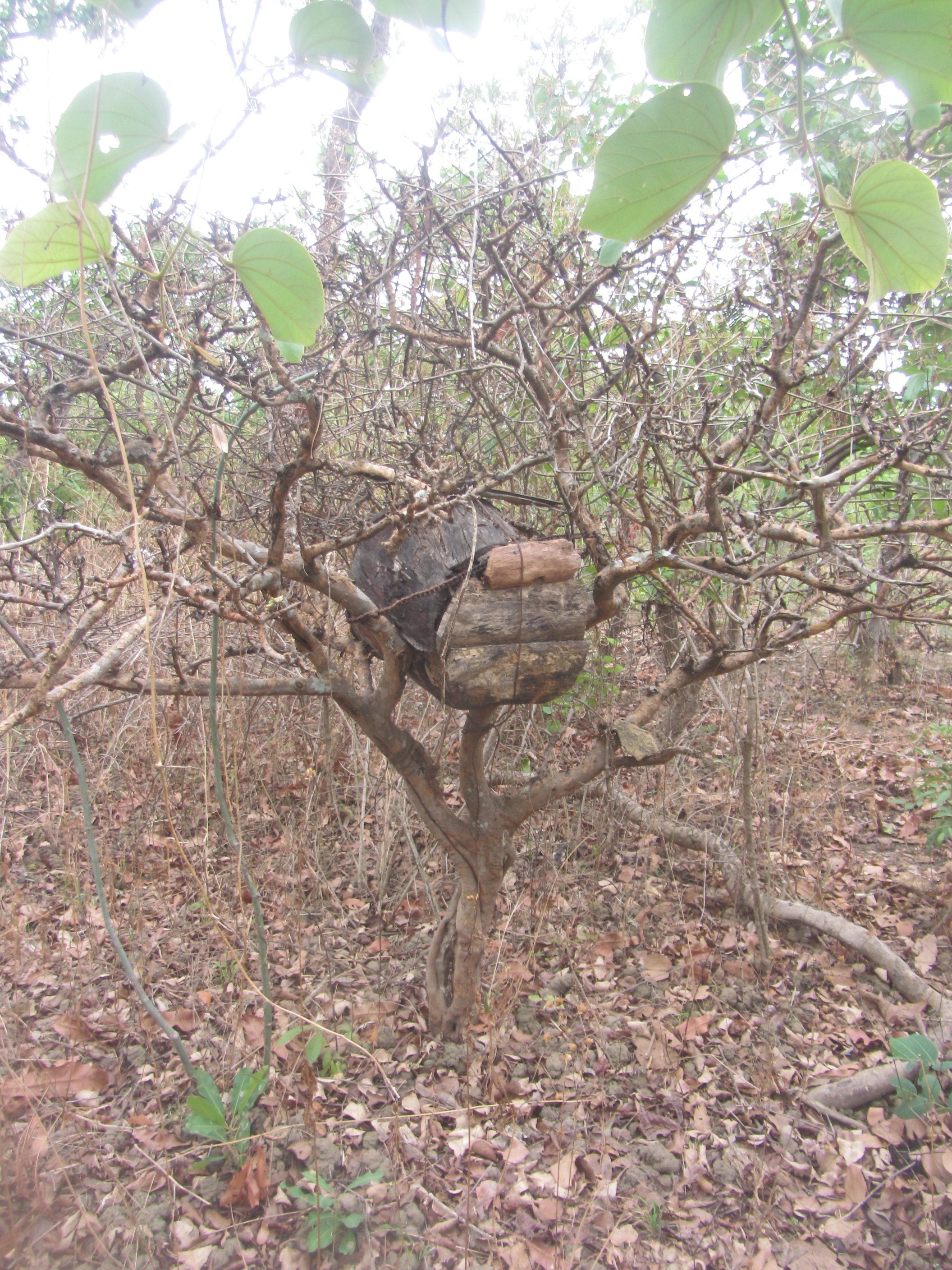
IMG_2626

IMG_2621

IMG_2613

IMG_2608
Topographic Map of Wamba, Nigeria
Find elevation by address:

Places near Wamba, Nigeria:
Recent Searches:
- Elevation of Estates Loop, Priest River, ID, USA
- Elevation of Woodland Oak Pl, Thousand Oaks, CA, USA
- Elevation of Brownsdale Rd, Renfrew, PA, USA
- Elevation of Corcoran Ln, Suffolk, VA, USA
- Elevation of Mamala II, Sariaya, Quezon, Philippines
- Elevation of Sarangdanda, Nepal
- Elevation of 7 Waterfall Way, Tomball, TX, USA
- Elevation of SW 57th Ave, Portland, OR, USA
- Elevation of Crocker Dr, Vacaville, CA, USA
- Elevation of Pu Ngaol Community Meeting Hall, HWHM+3X7, Krong Saen Monourom, Cambodia