Elevation of Walters Rd, Greeneville, TN, USA
Location: United States > Tennessee > Greene County > Greeneville >
Longitude: -82.698917
Latitude: 36.0994
Elevation: 502m / 1647feet
Barometric Pressure: 95KPa
Elevation Map:
Satellite Map:
Related Photos:

President Andrew Johnson Gravesite

Ebenezer Methodist Church

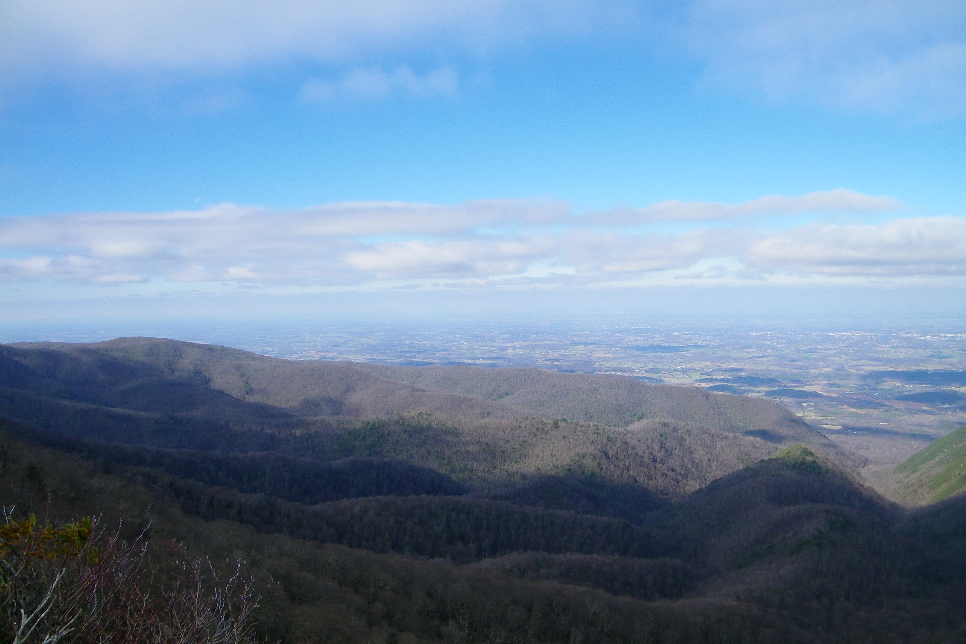
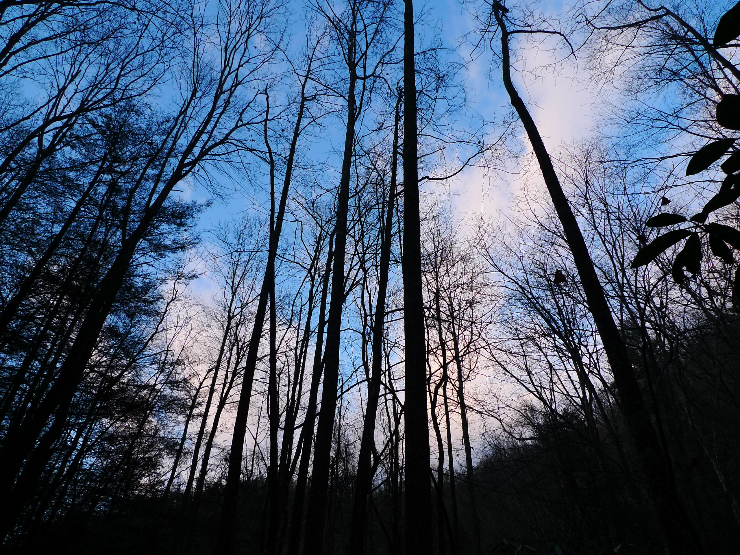
Appalachian Trail

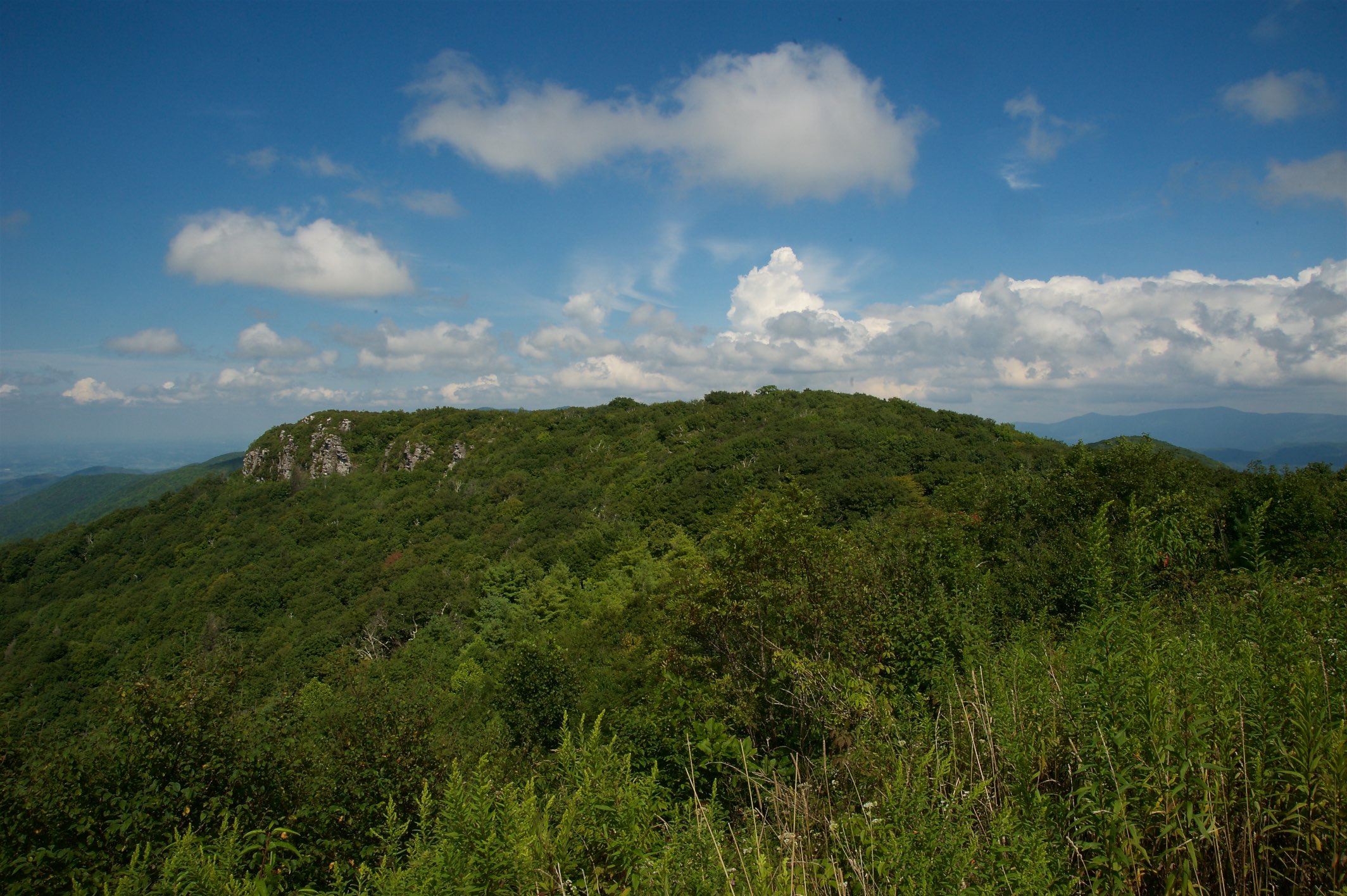
Big Butt - Cold Spring Mountain
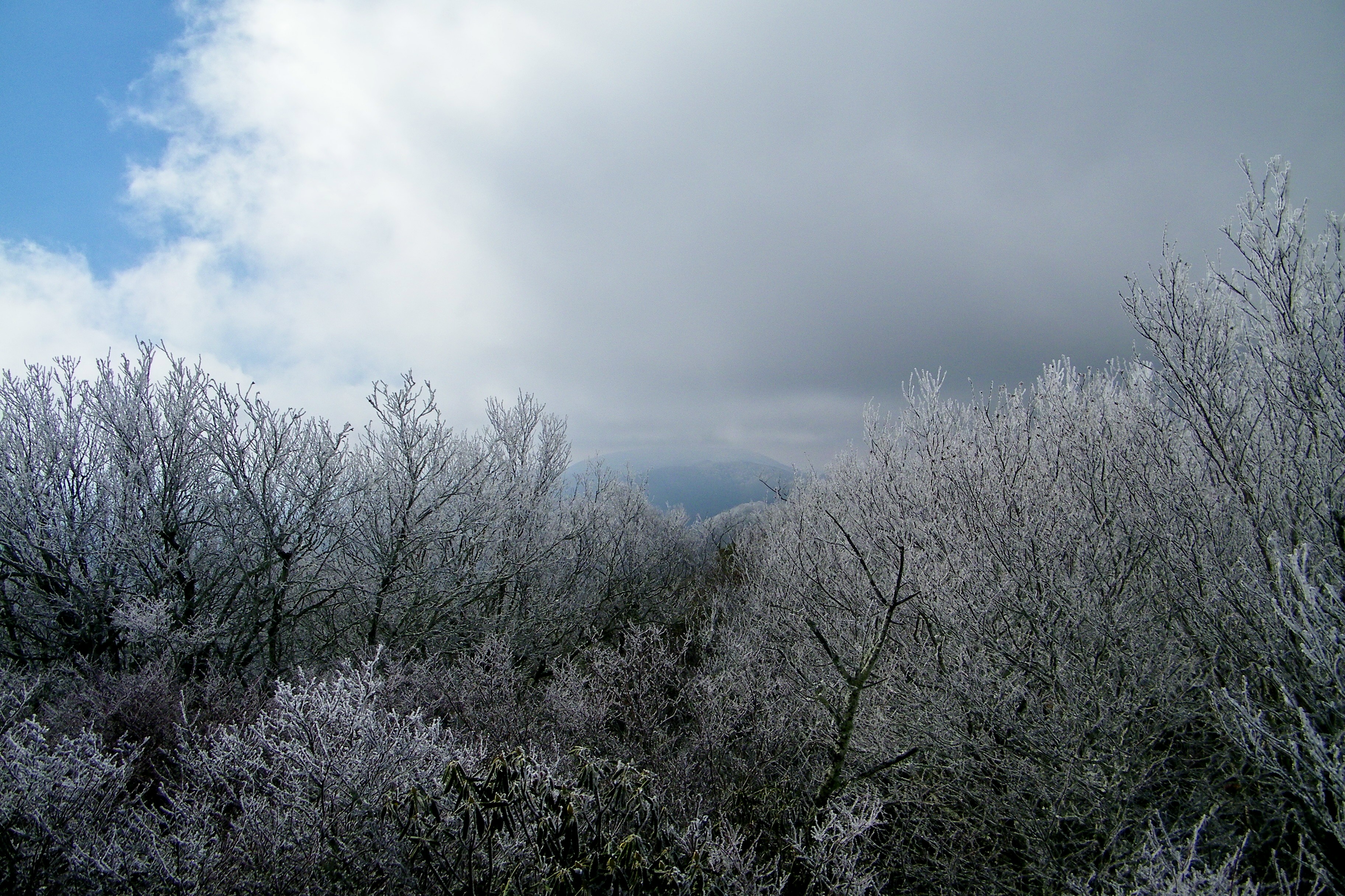
Big Butt - Cold Spring Mountain
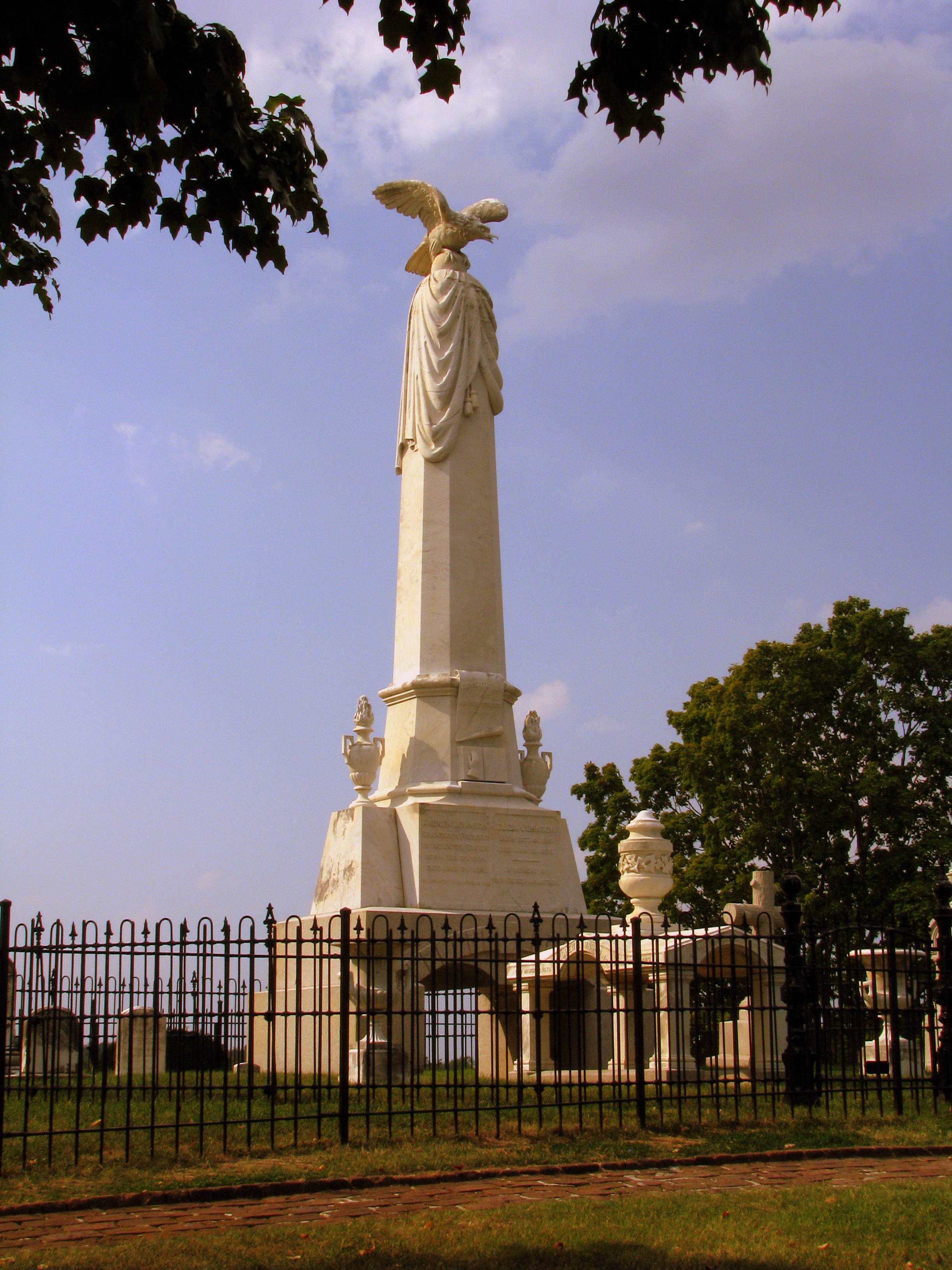
President Andrew Johnson Gravesite 2

President Andrew Johnson Gravesite 5
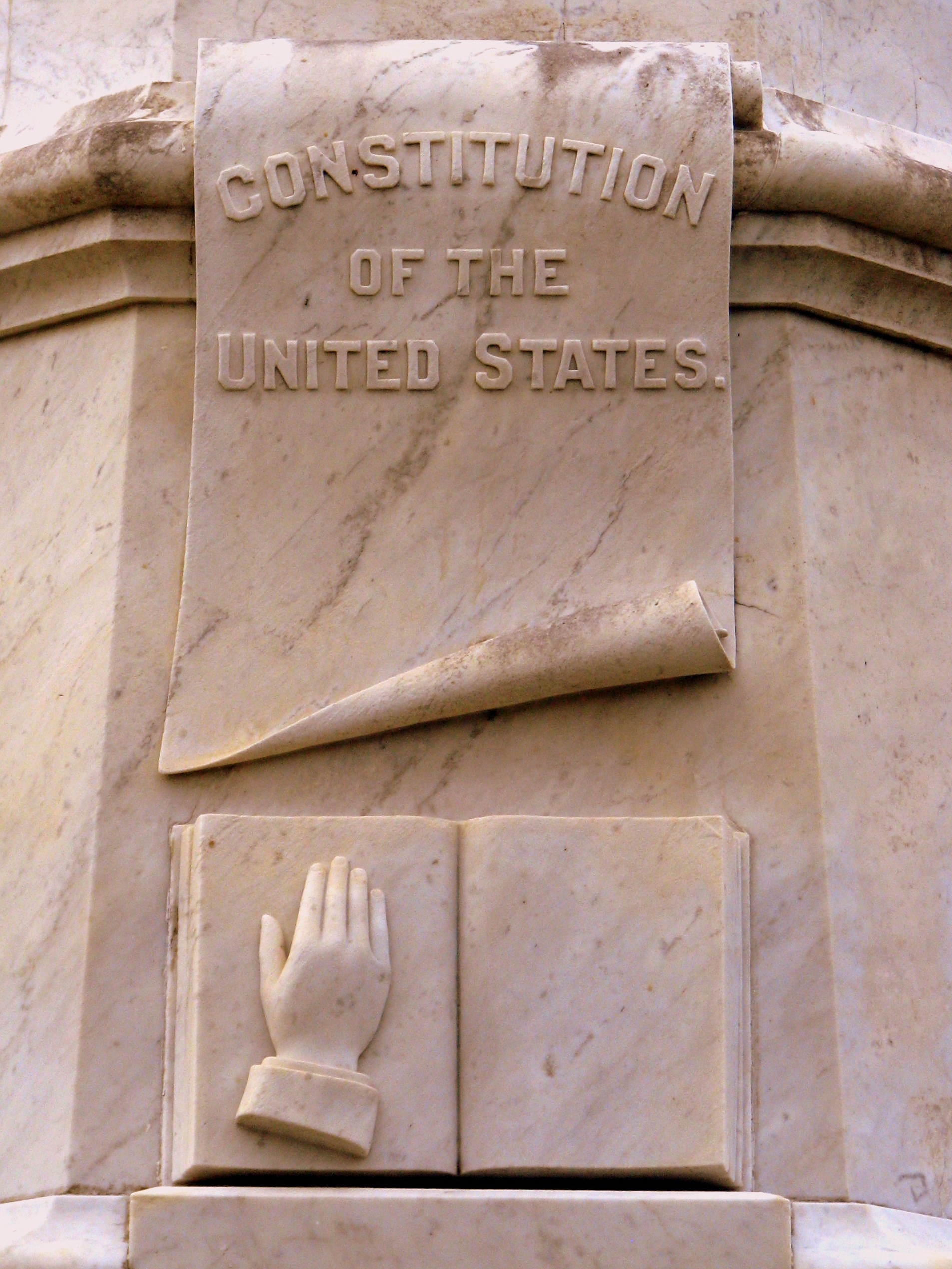
President Andrew Johnson Gravesite 4: Constitution & Bible
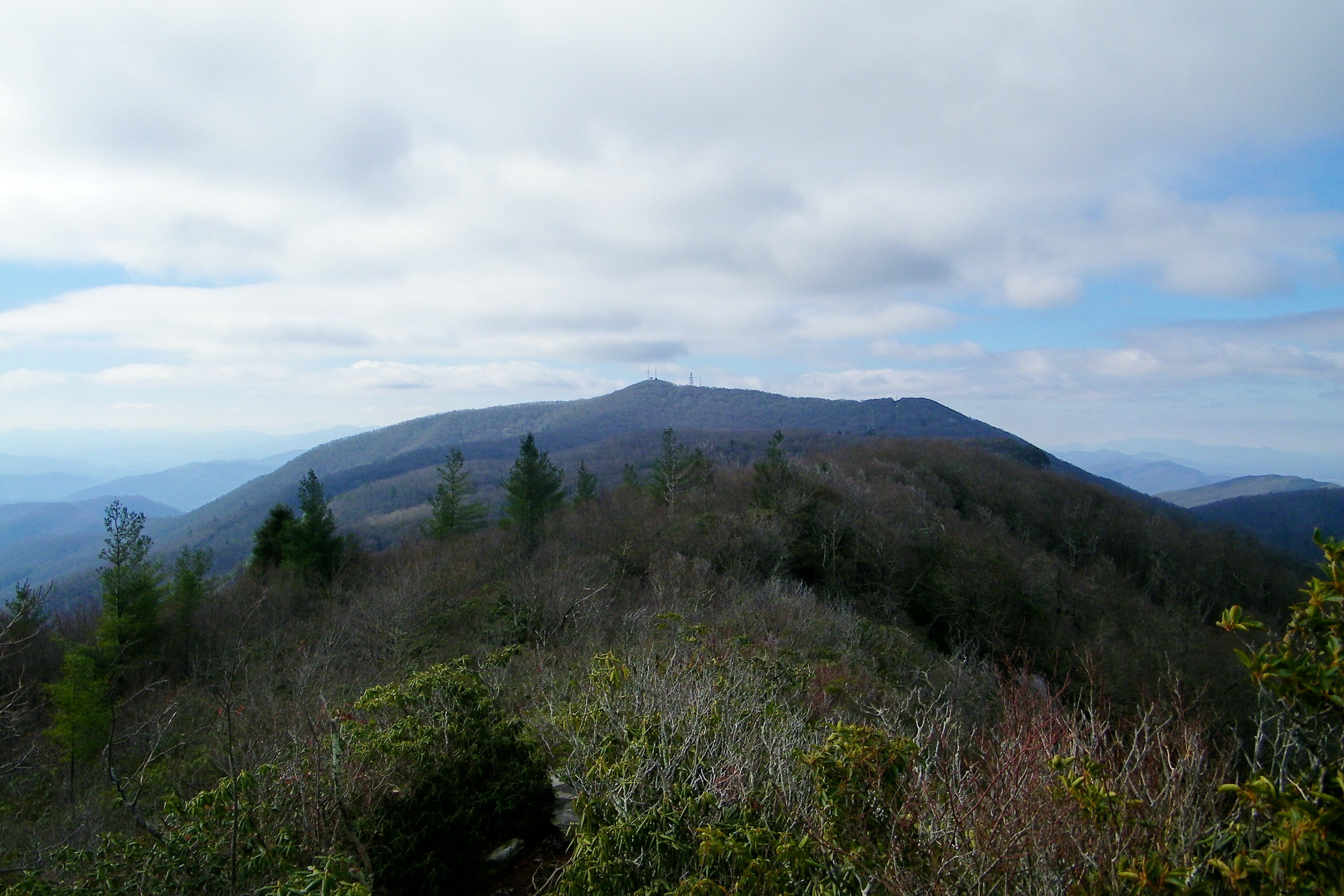
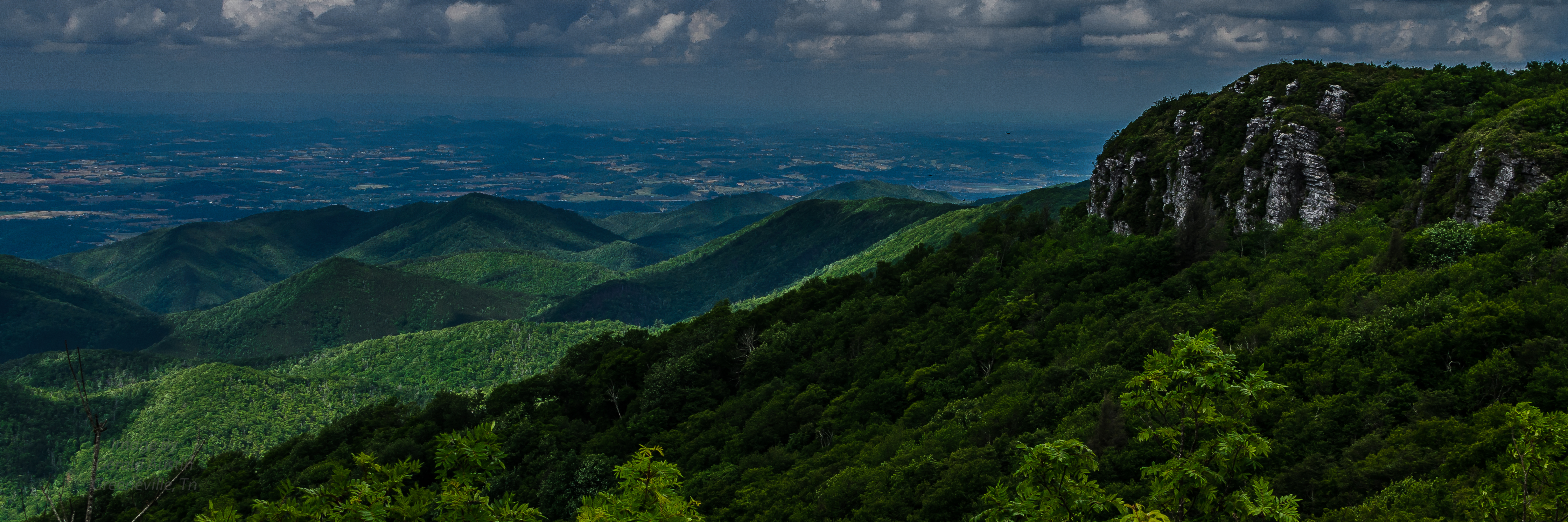
Camp Creek Bald Lookout Tower

Blackstack Cliffs on Little Firescald Knob
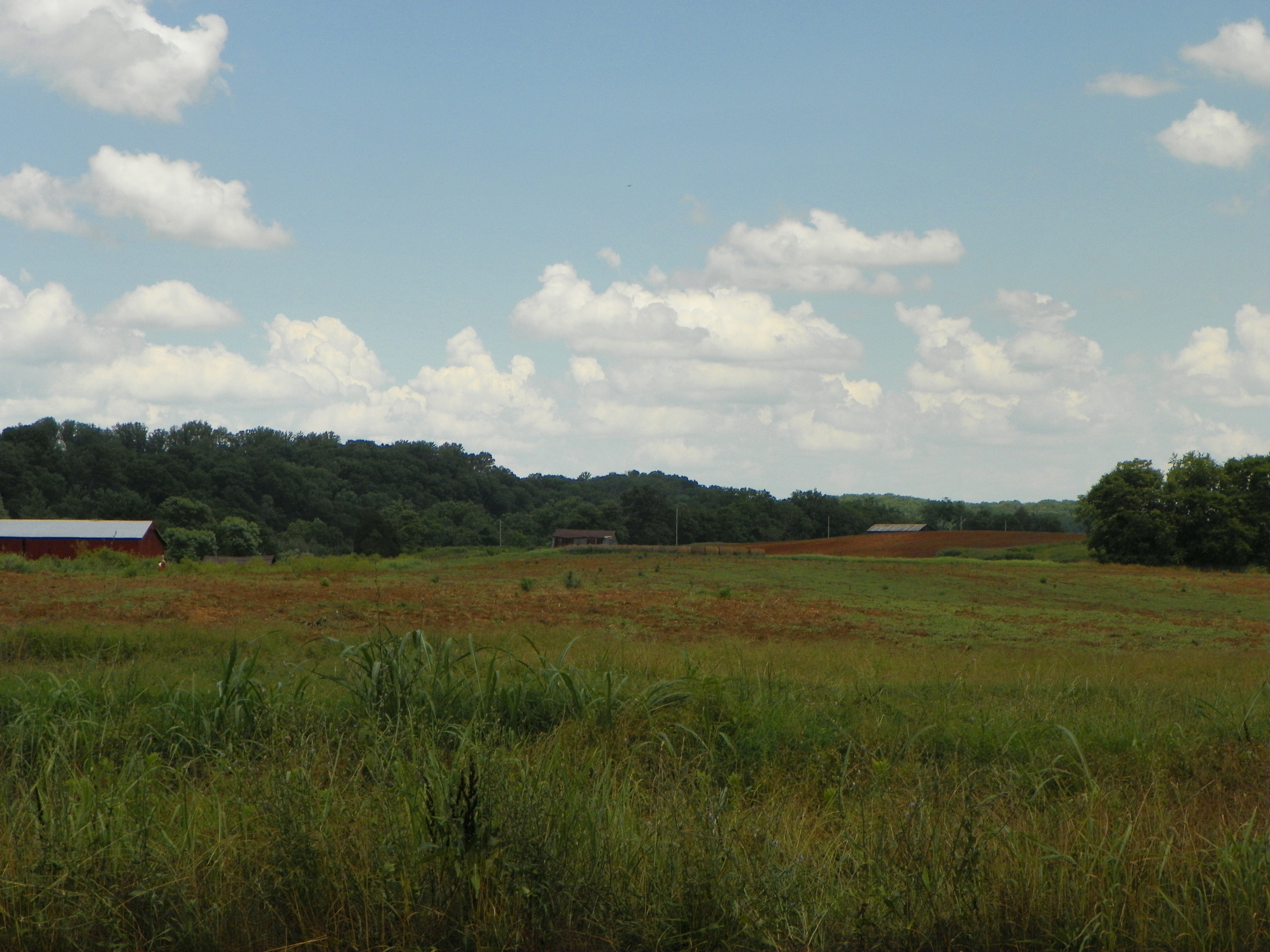
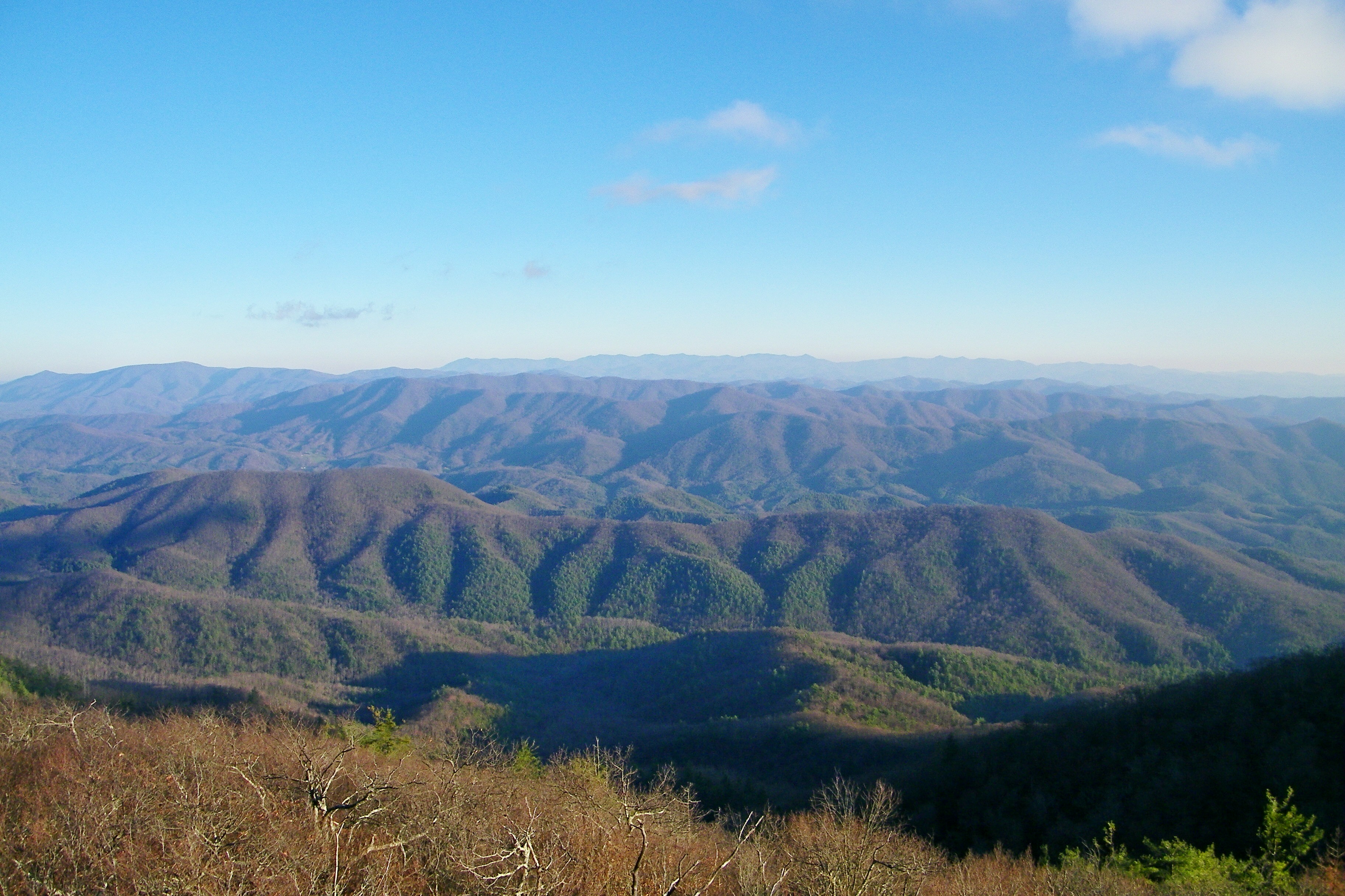
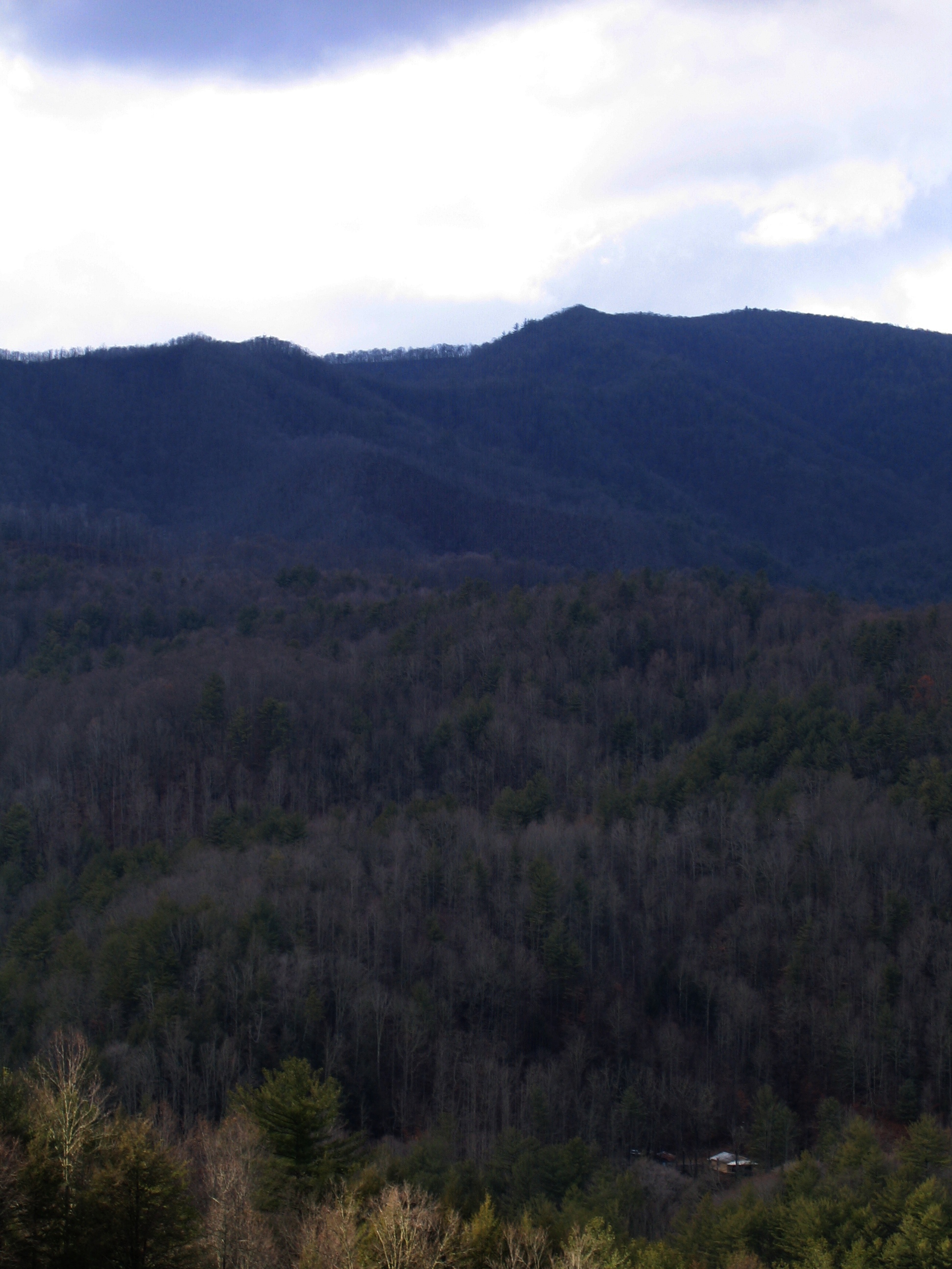
View of Earnest Farms Area 05
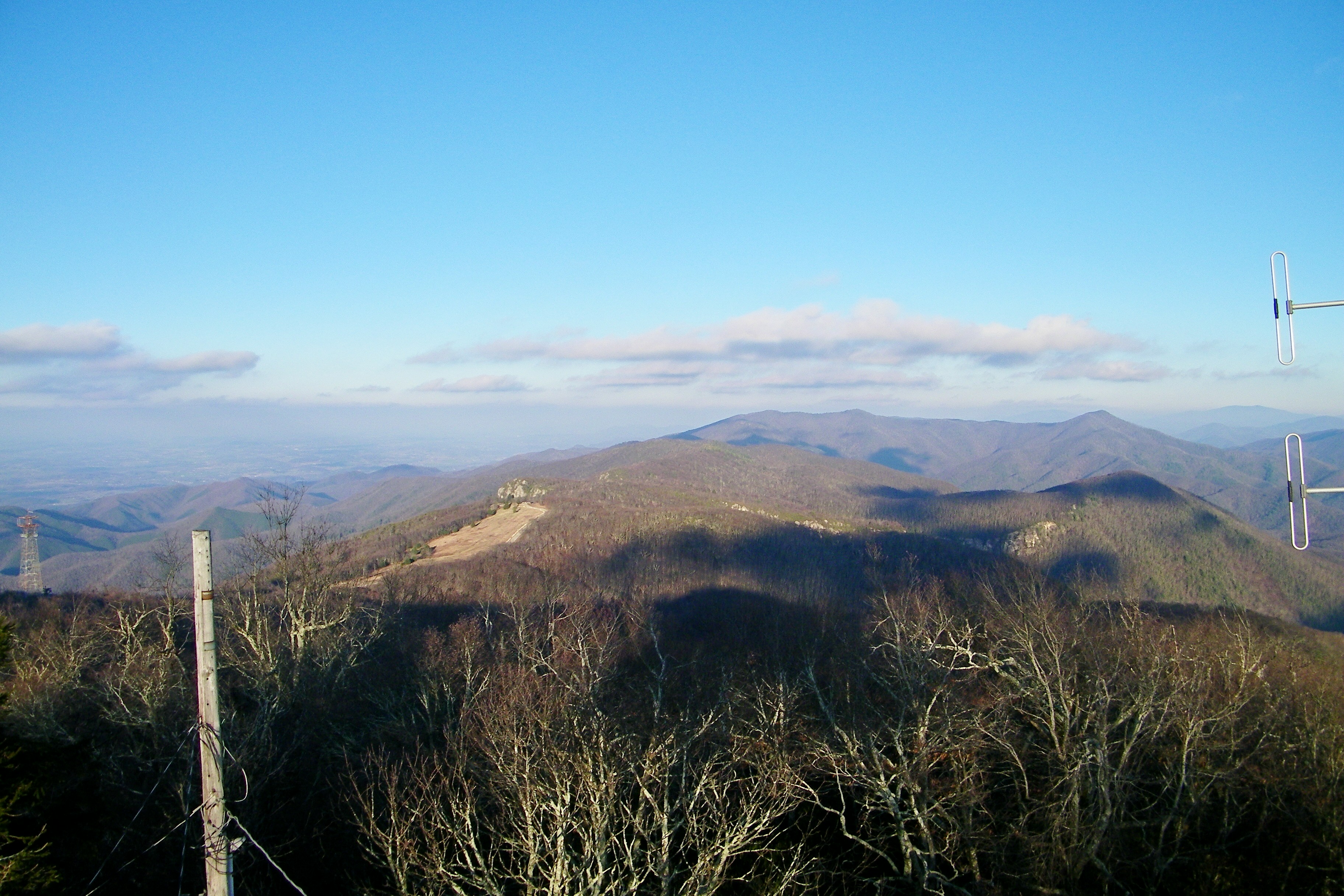
Camp Creek Bald Lookout Tower
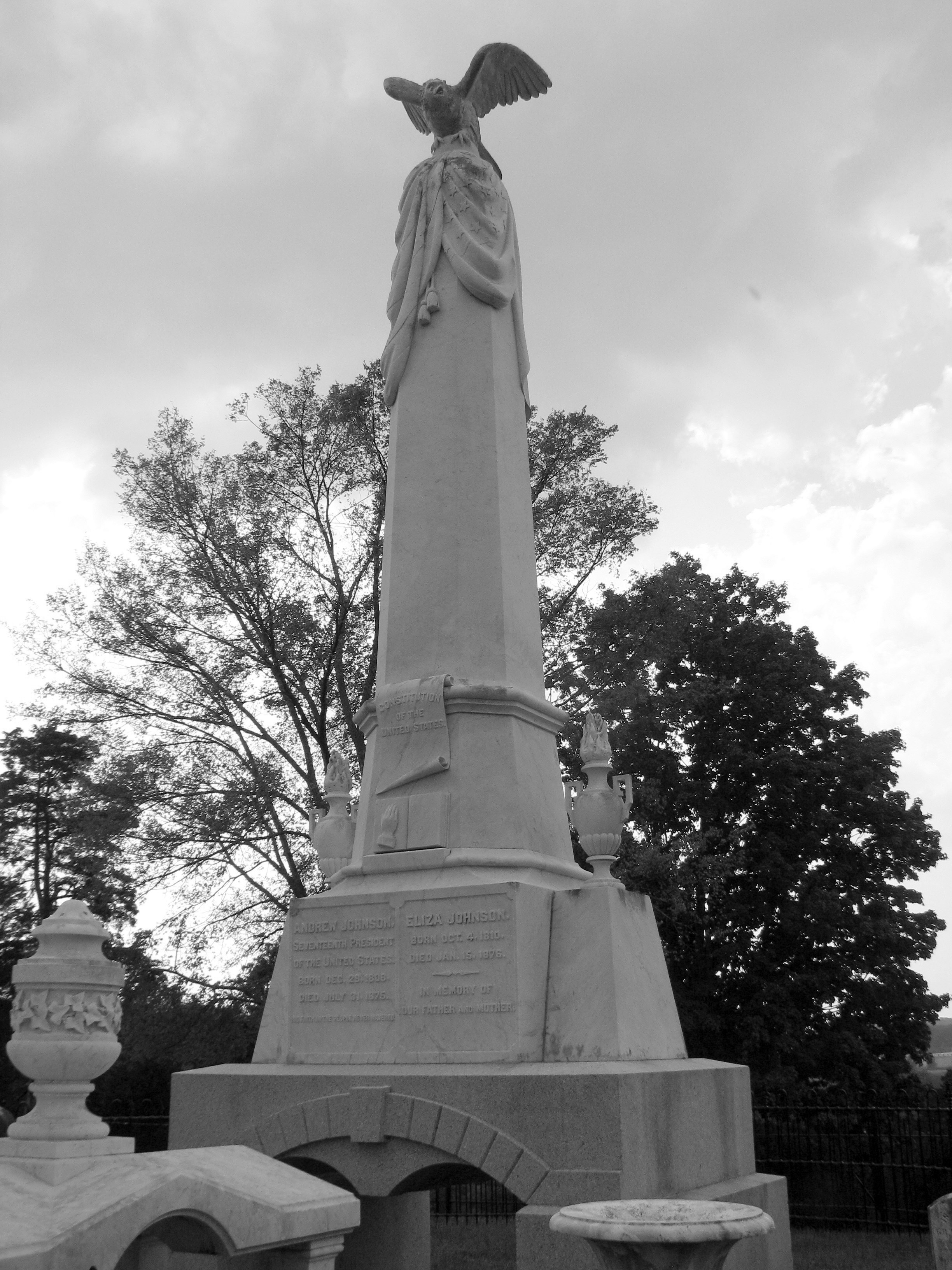
President Andrew Johnson Gravesite 3: B&W
Blackstack Cliffs on Little Firescald Knob
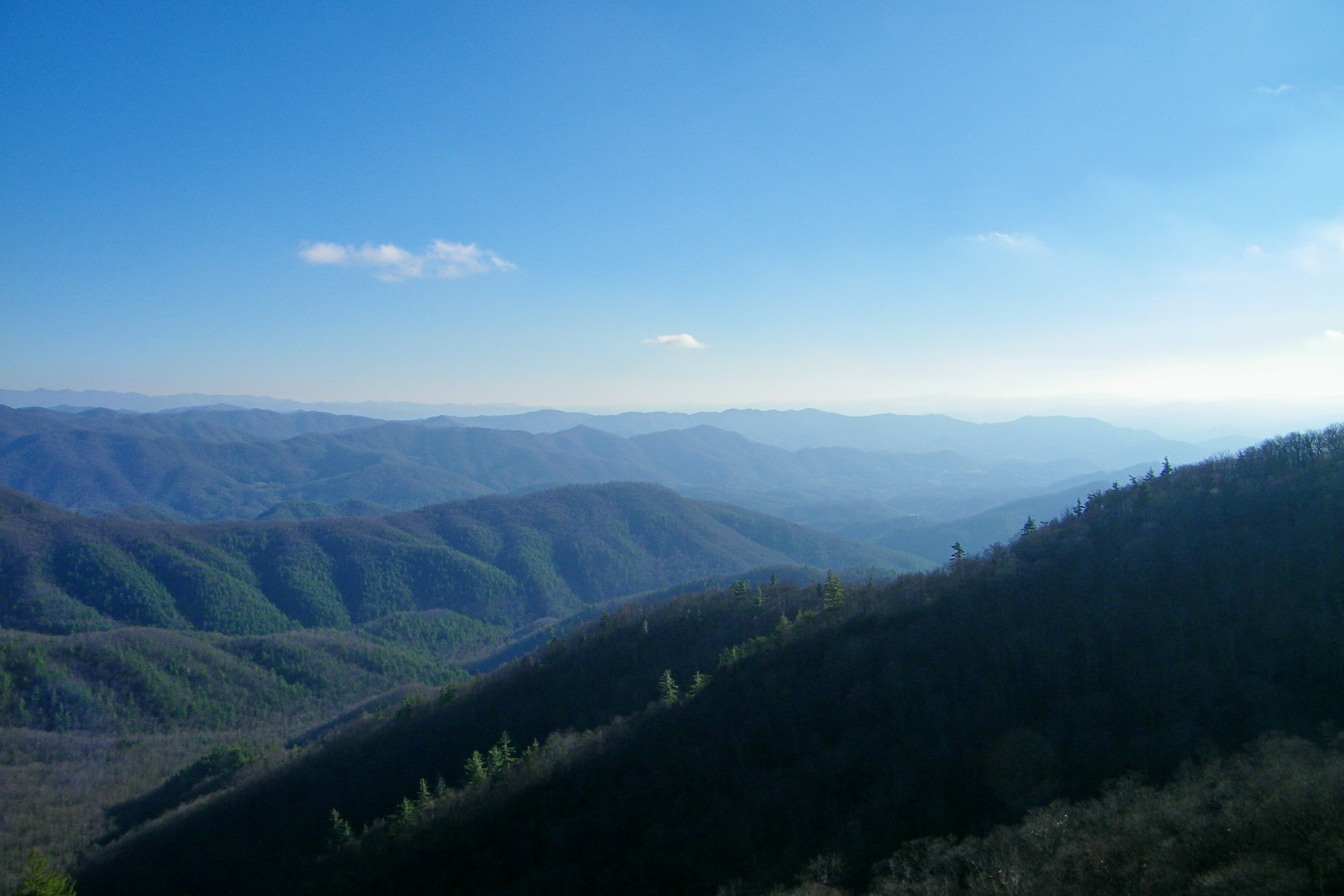
Big Firescald Knob

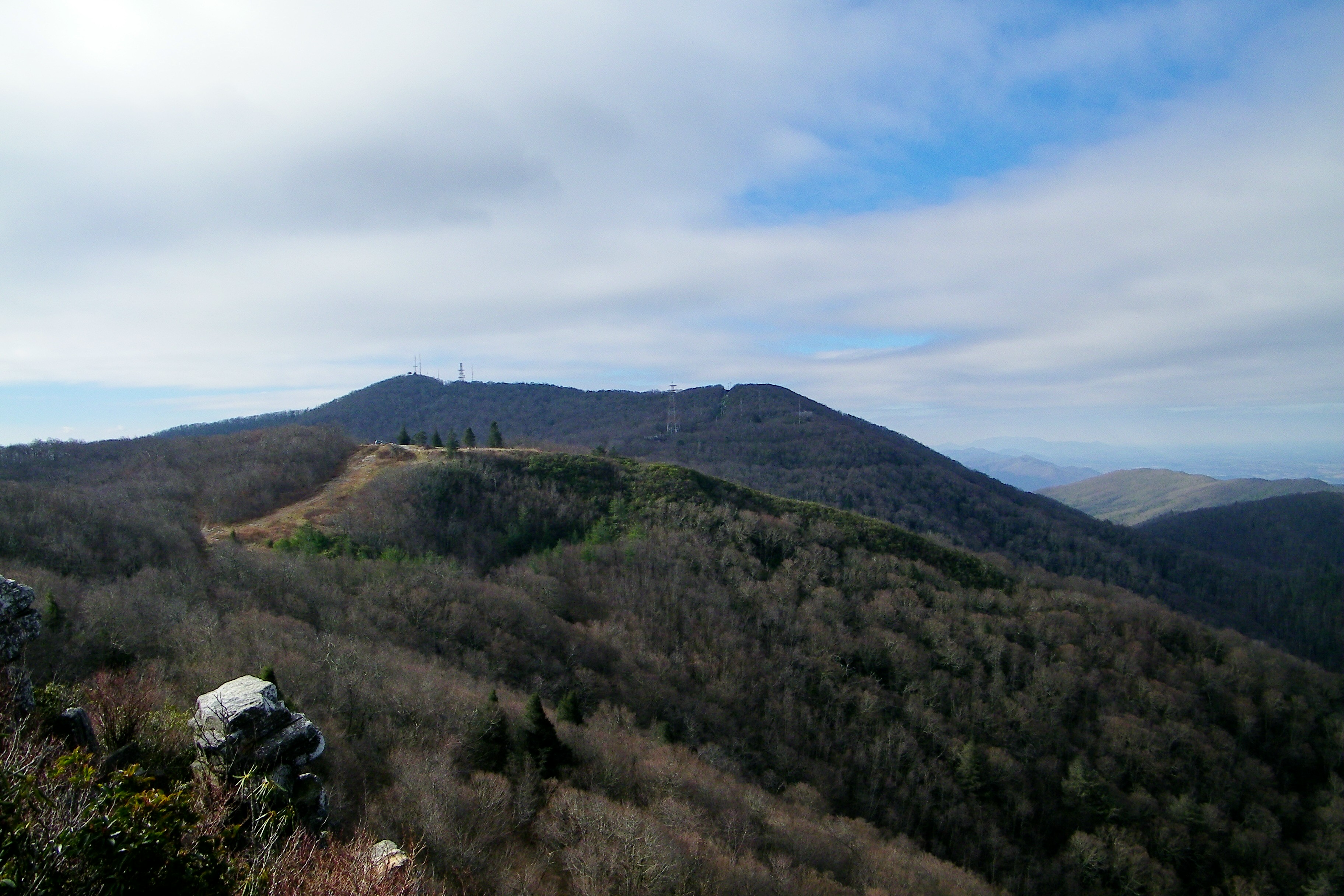
View from W4C/CM-028 - Camp Creek Bald
Whiterock Cliffs
View From our Tree
Big Firescald Knob
View of Blackstack Cliffs

Blackstack Cliffs on Little Firescald Knob

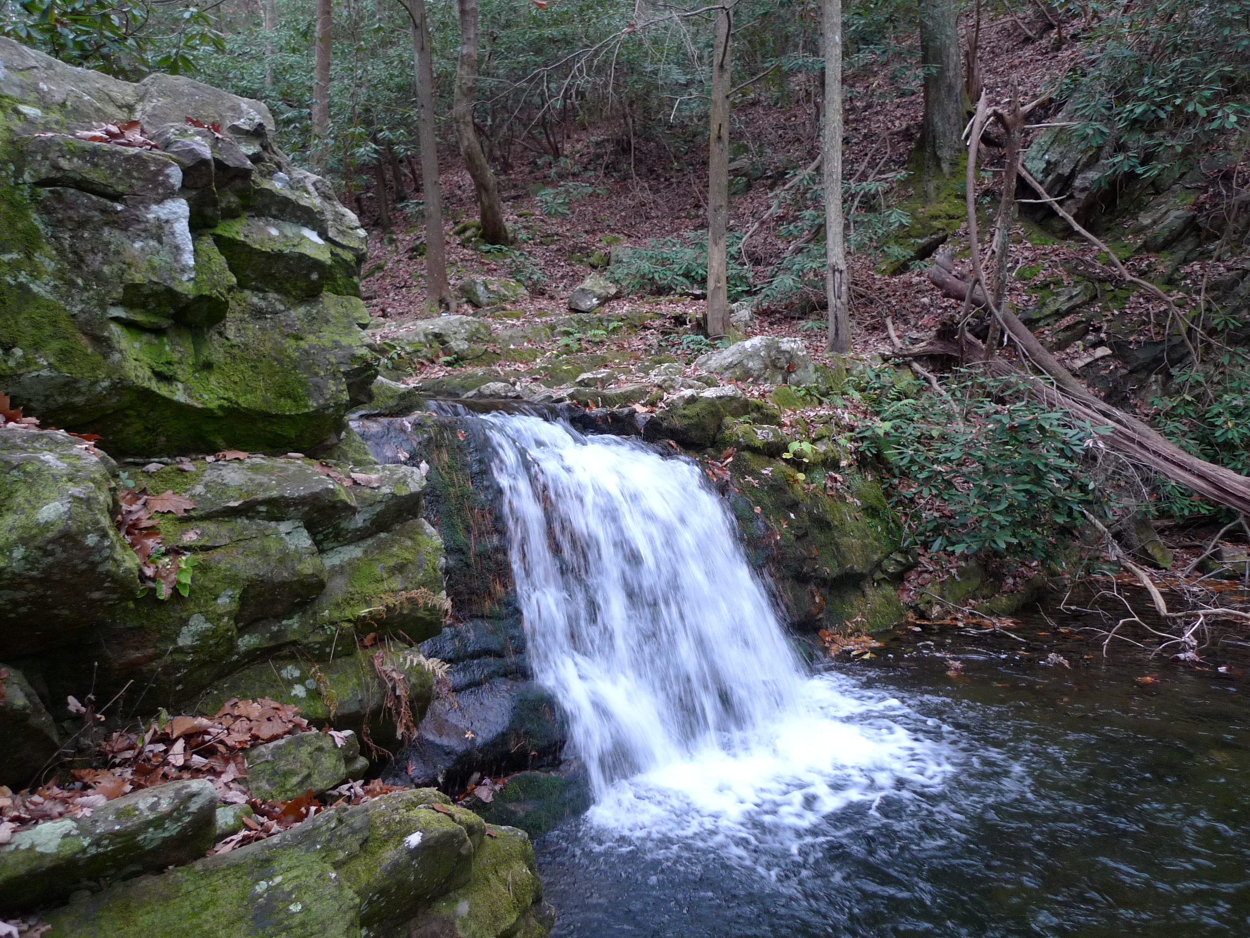
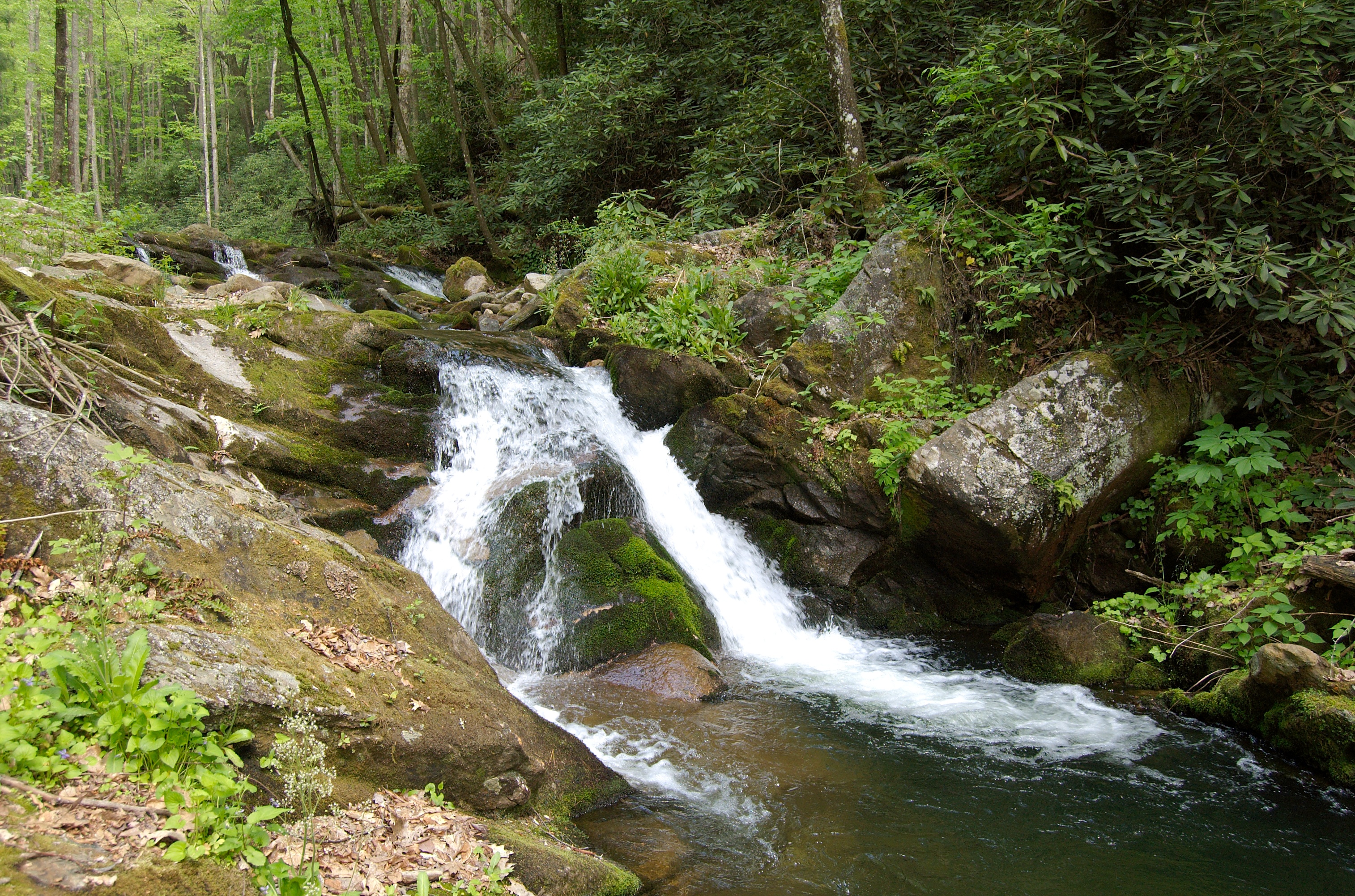
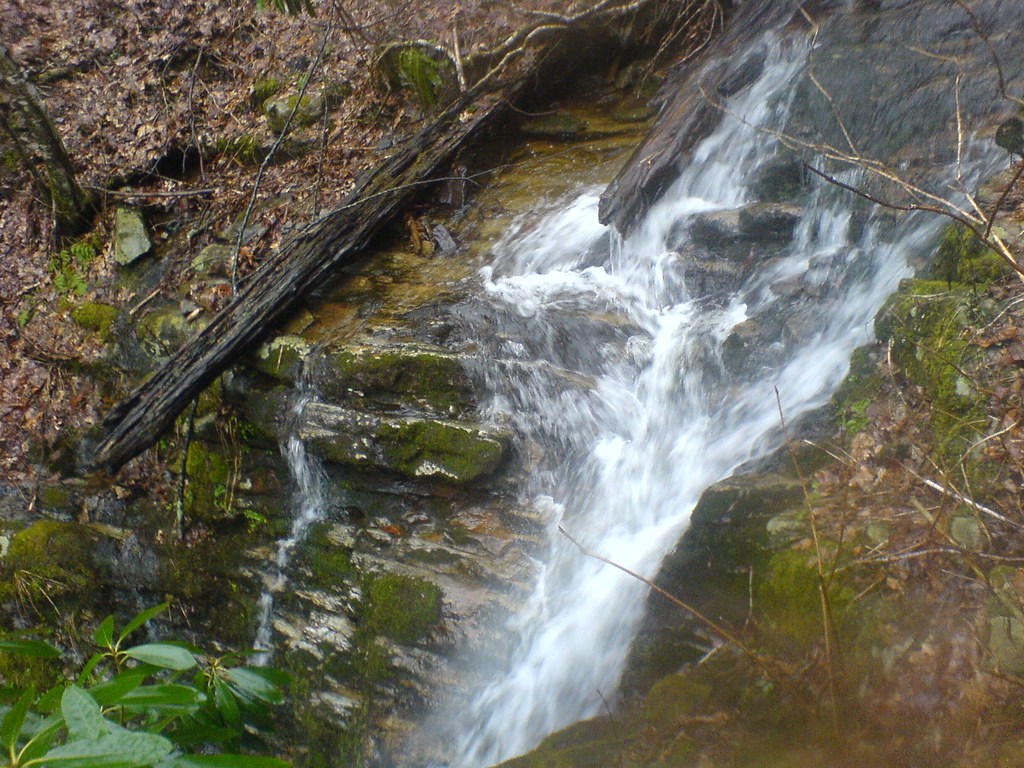
Margarette Falls, TN
Overlook in the Blue Ridge Mountains, NC/TN area
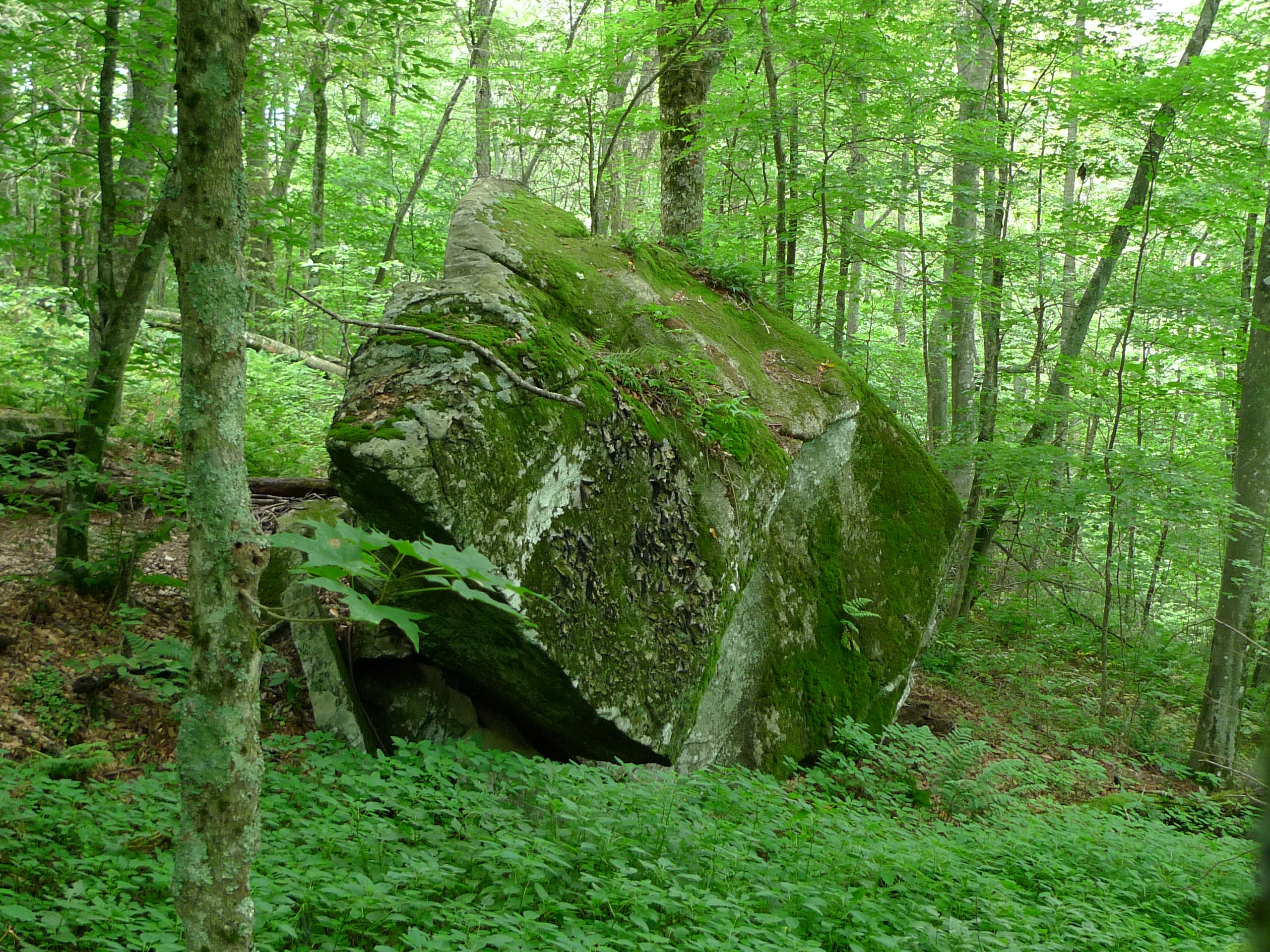
Big rock on Divide Mtn - along the AT
Old Forge - Jennings Creek
Old Forge - Jennings Creek
Down in the Valley

Greeneville's Big Spring
DSC_0055.jpg
JFRM-2017-04-7044-Pano.jpg

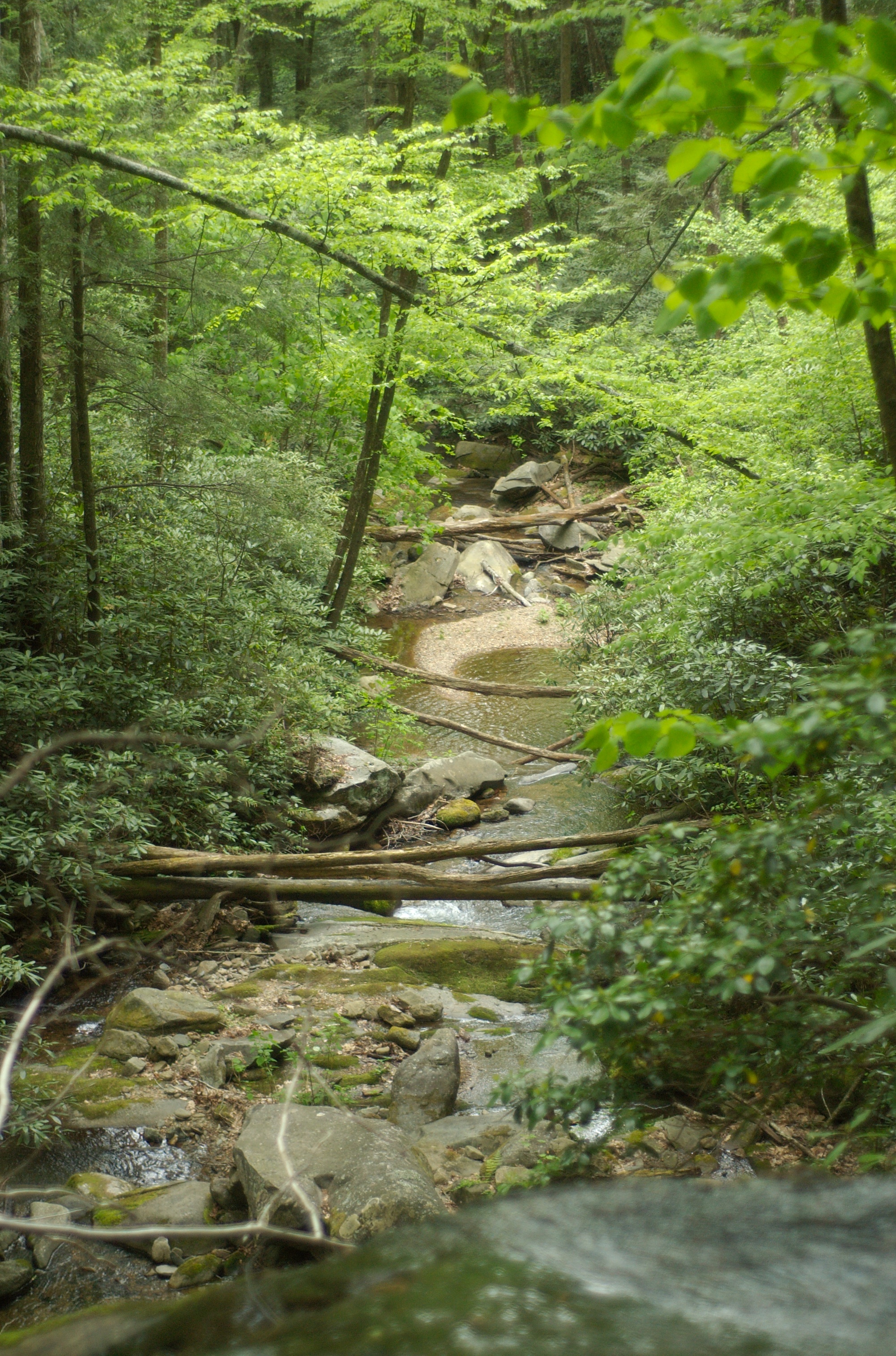
Rocky Fork
DSC_0036.jpg
DSC_0040.jpg
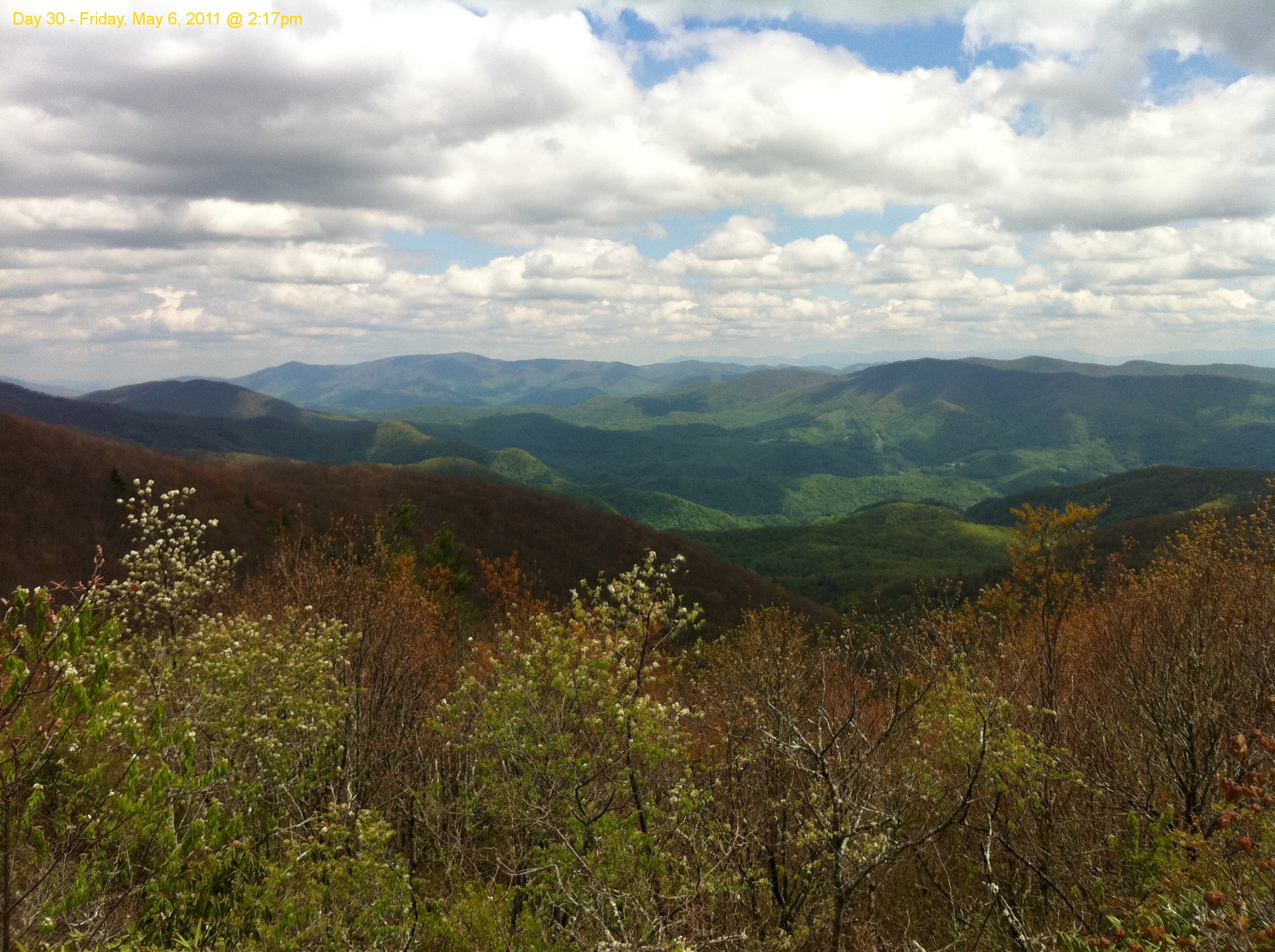
Scribbles AT Hike 2011-05-06 @ 14-17-35
DSC_0057.jpg
Creek along FS road in the Hickey Creek area
Blackstack Cliffs

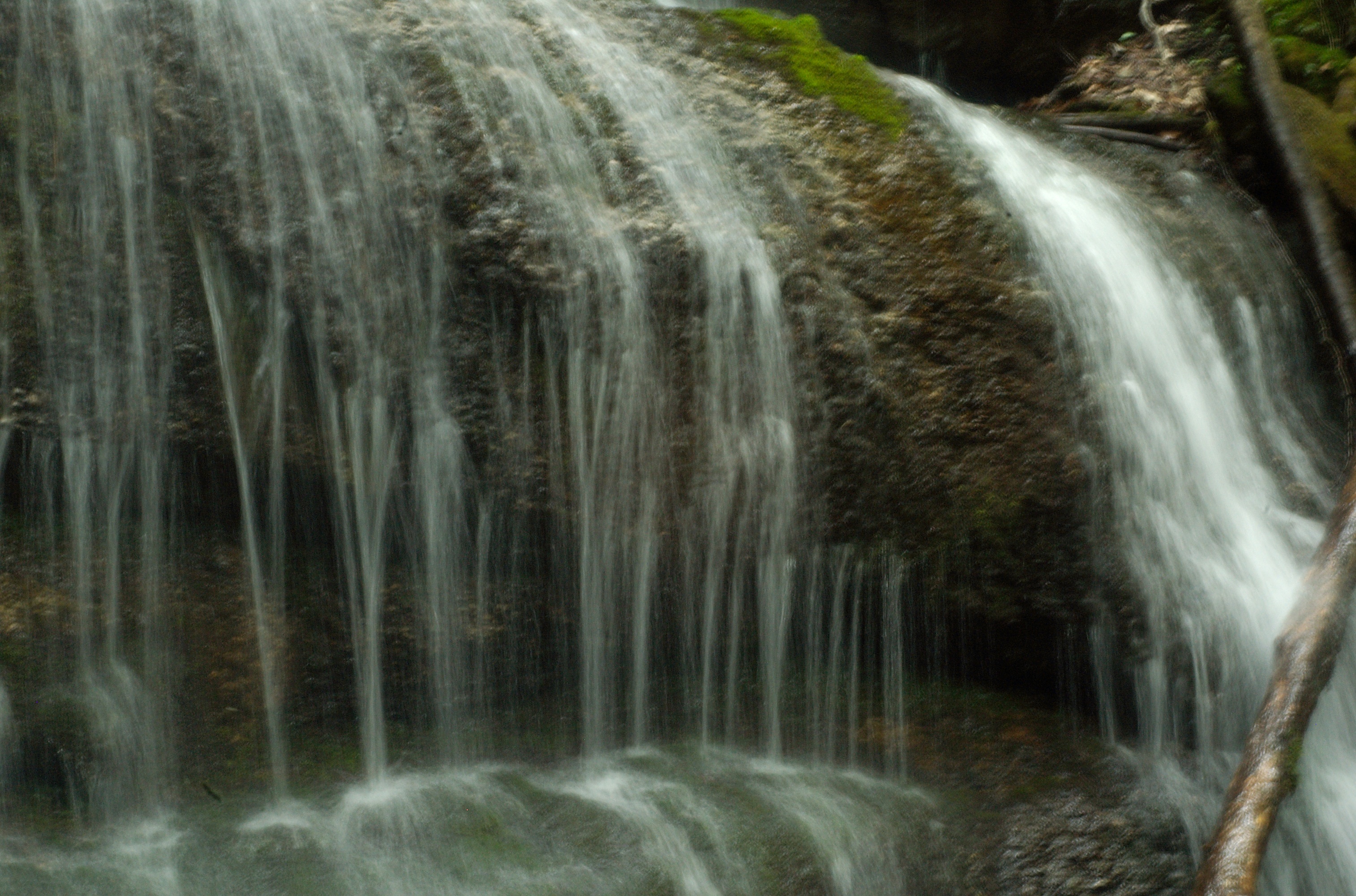
Closeup of Hickey Creek Falls in IR
Sampson Mountain Wilderness - Horse Cove - Turkeypen Cove
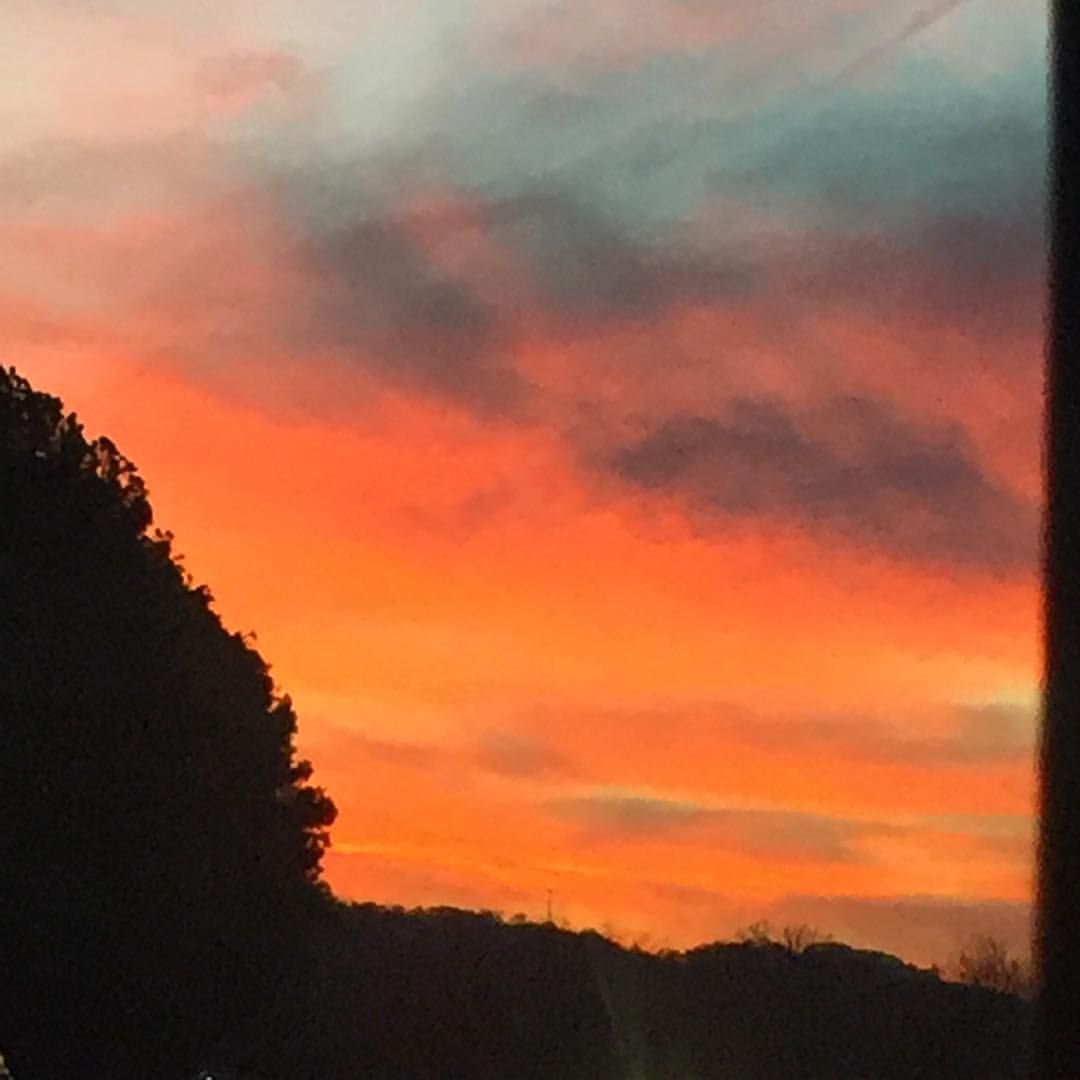
#sunsets #sunset

Sill Branch Falls
Squibb Falls
Topographic Map of Walters Rd, Greeneville, TN, USA
Find elevation by address:

Places near Walters Rd, Greeneville, TN, USA:
220 Jennings Creek Ln
570 Anest Rd
946 John Bird Rd
1074 Old Mountain Rd
584 Katie Ln
Dunham Road
Dunham Road
5640 Chuckey Pike
Old Jonesboro Road
Old Jonesboro Road
773 Waterstone Cir
320 Greystone Rd
119 Summerhill Ln
4200 Chuckey Pike
4200 Chuckey Pike
35 Earnest Rd
252 Blackberry Ln
511 Blackberry Ln
2870 Holly Creek Rd
320 Mitchell Rd
Recent Searches:
- Elevation of Elwyn Dr, Roanoke Rapids, NC, USA
- Elevation of Congressional Dr, Stevensville, MD, USA
- Elevation of Bellview Rd, McLean, VA, USA
- Elevation of Stage Island Rd, Chatham, MA, USA
- Elevation of Shibuya Scramble Crossing, 21 Udagawacho, Shibuya City, Tokyo -, Japan
- Elevation of Jadagoniai, Kaunas District Municipality, Lithuania
- Elevation of Pagonija rock, Kranto 7-oji g. 8"N, Kaunas, Lithuania
- Elevation of Co Rd 87, Jamestown, CO, USA
- Elevation of Tenjo, Cundinamarca, Colombia
- Elevation of Côte-des-Neiges, Montreal, QC H4A 3J6, Canada