Elevation of Walnut St, Rochester, NH, USA
Location: United States > New Hampshire > Strafford County > Farmington > Rochester >
Longitude: -71.019086
Latitude: 43.3028571
Elevation: 93m / 305feet
Barometric Pressure: 100KPa
Elevation Map:
Satellite Map:
Related Photos:
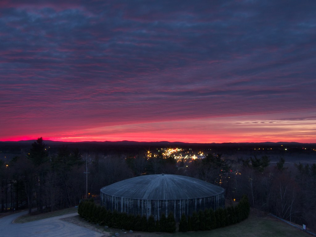
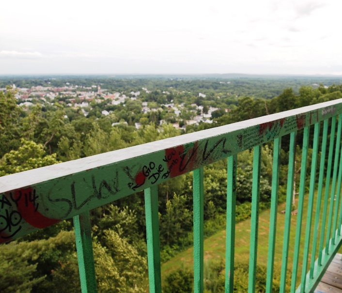
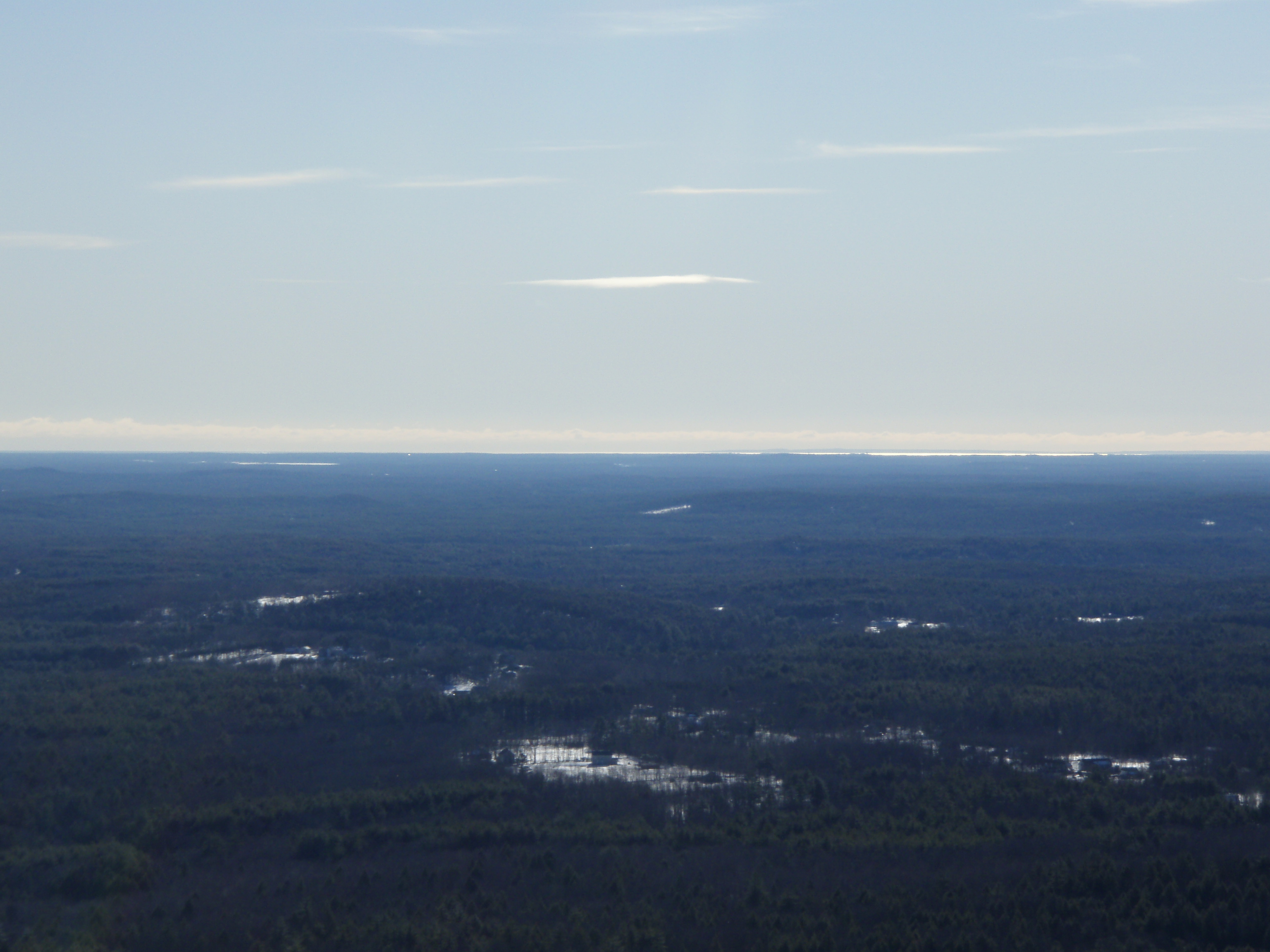
North from Garrison Hill Tower

M45 imaged with 50mm Borg

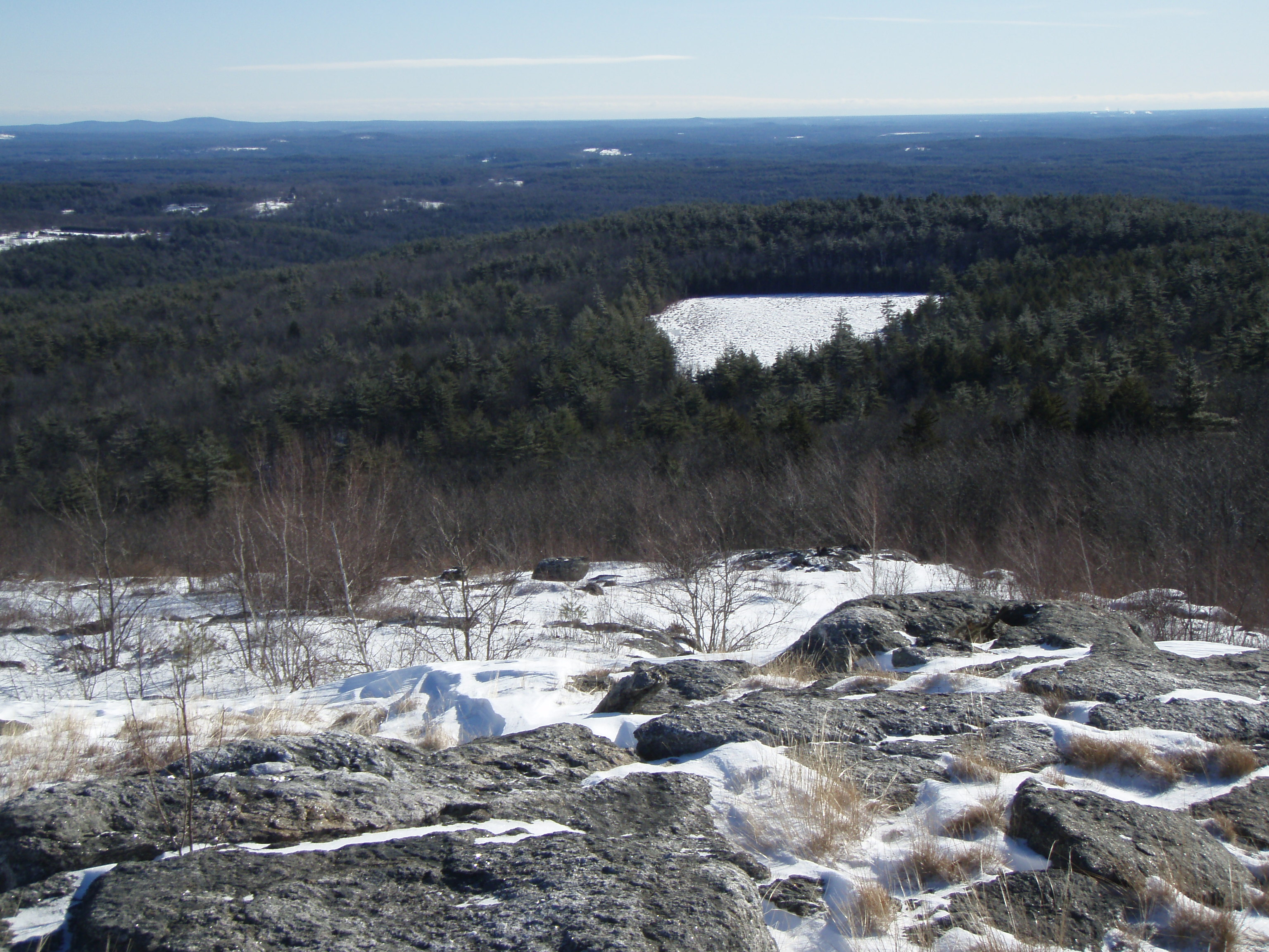
View from Little Baldy Pan

Barrington-2006-324-300

Somersworth mill
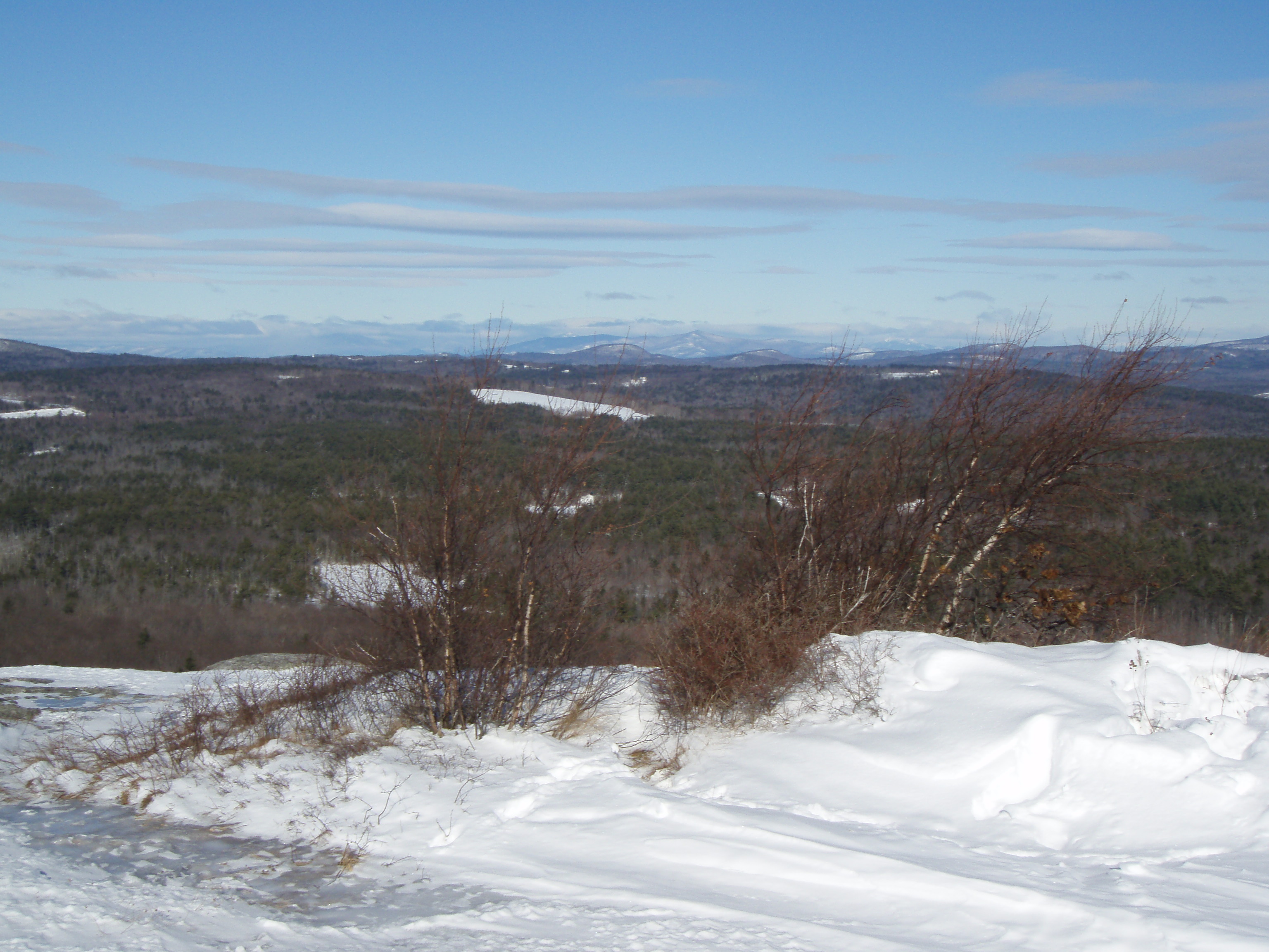
View East from Little Baldy

Stonehouse Pond - Barrington NH

Into the Cloud
Dover, NH: Anyone know what this building is?

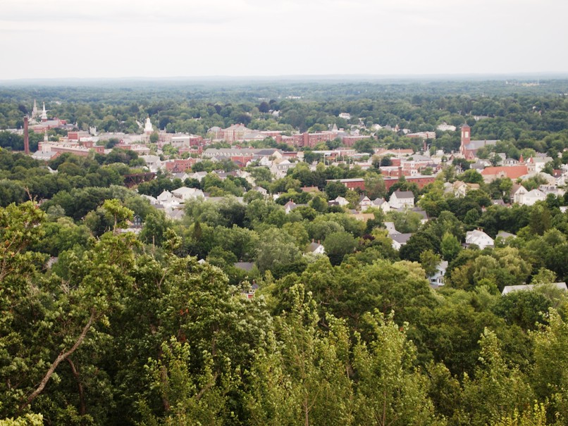
The View From Up Here
View North from Little Baldy
Dover, NH: Lookin' Out to 'Dovah'

Barrington-2006-329-300
Dover, NH: 'Dirty Dovah' Skyline
Dover, NH: View of the city

Dover, NH: Skyline from the tower
Pine View Orchard view
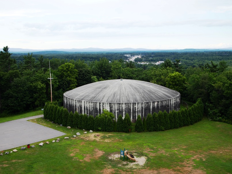
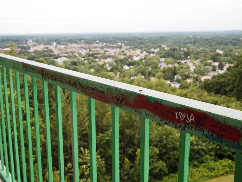
View from Tower
Barrington-2006-210-6x9
Barrington-2006-211-300
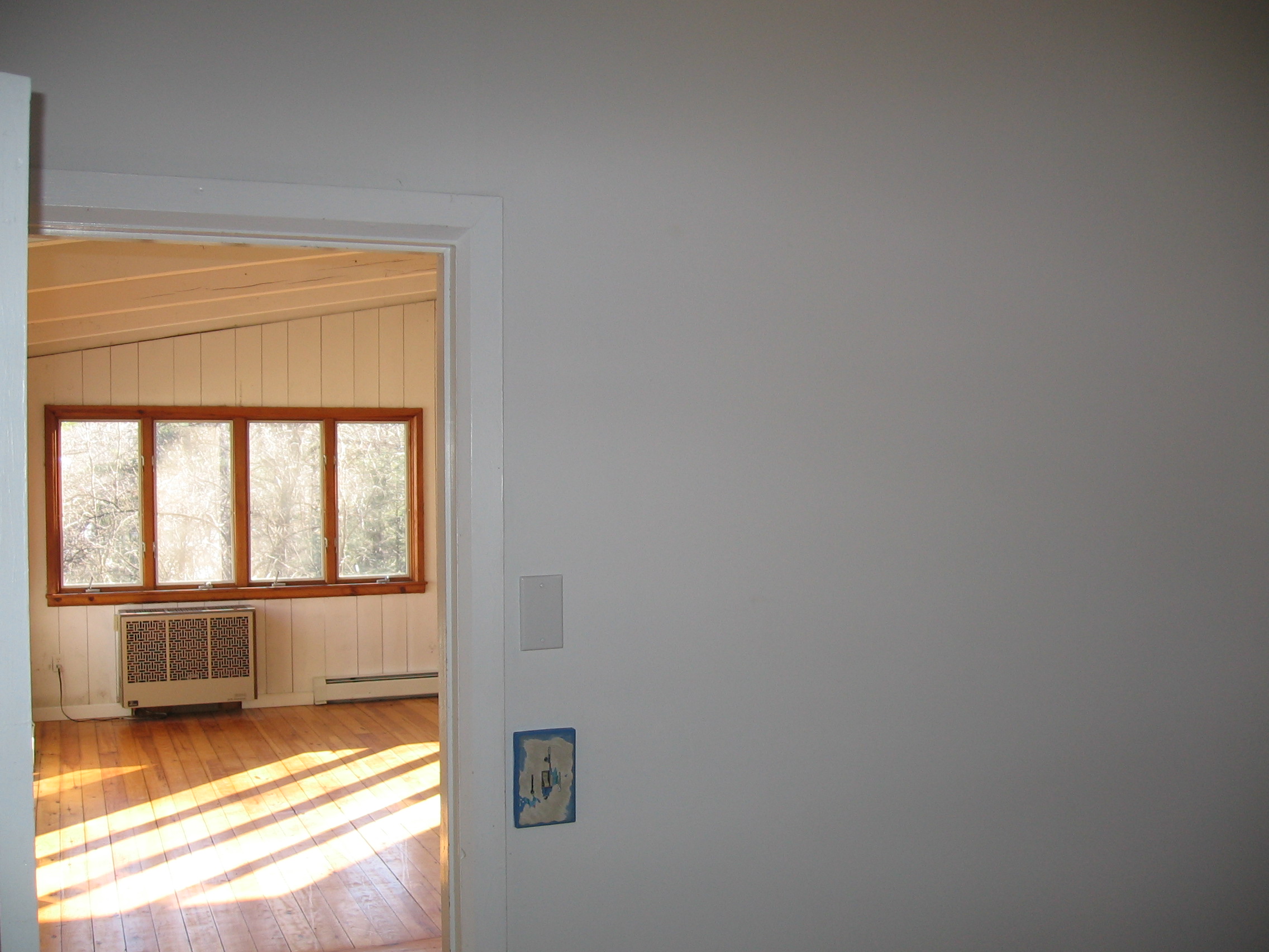
view out of door, right bedroom/office into living room
Stonehouse Pond (Explored)
Cold Front HDR
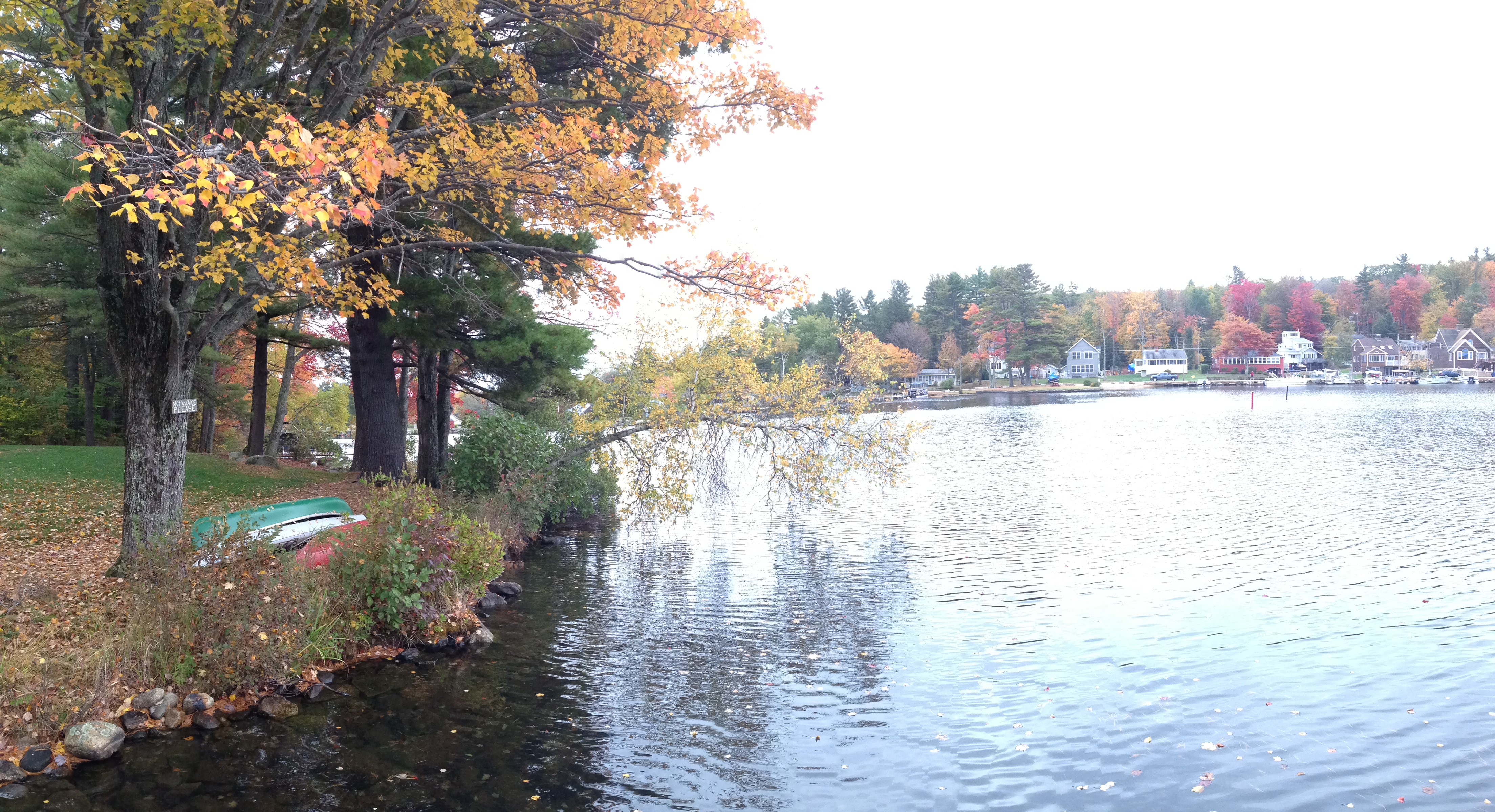
Willey Pond NH

More Pics from Mailin's Phone
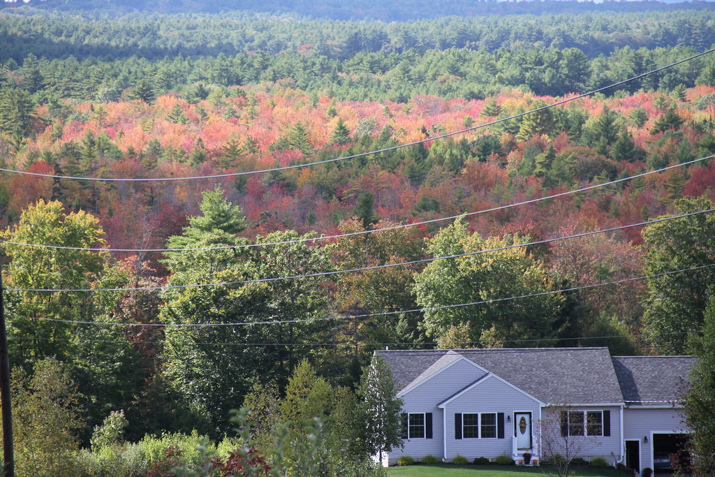
New Hampshire - October 1975

More Pics from Mailin's Phone
Bow Lake
JSinon_Week 47: Feeling Nostalgic
Barrington Bog HDR
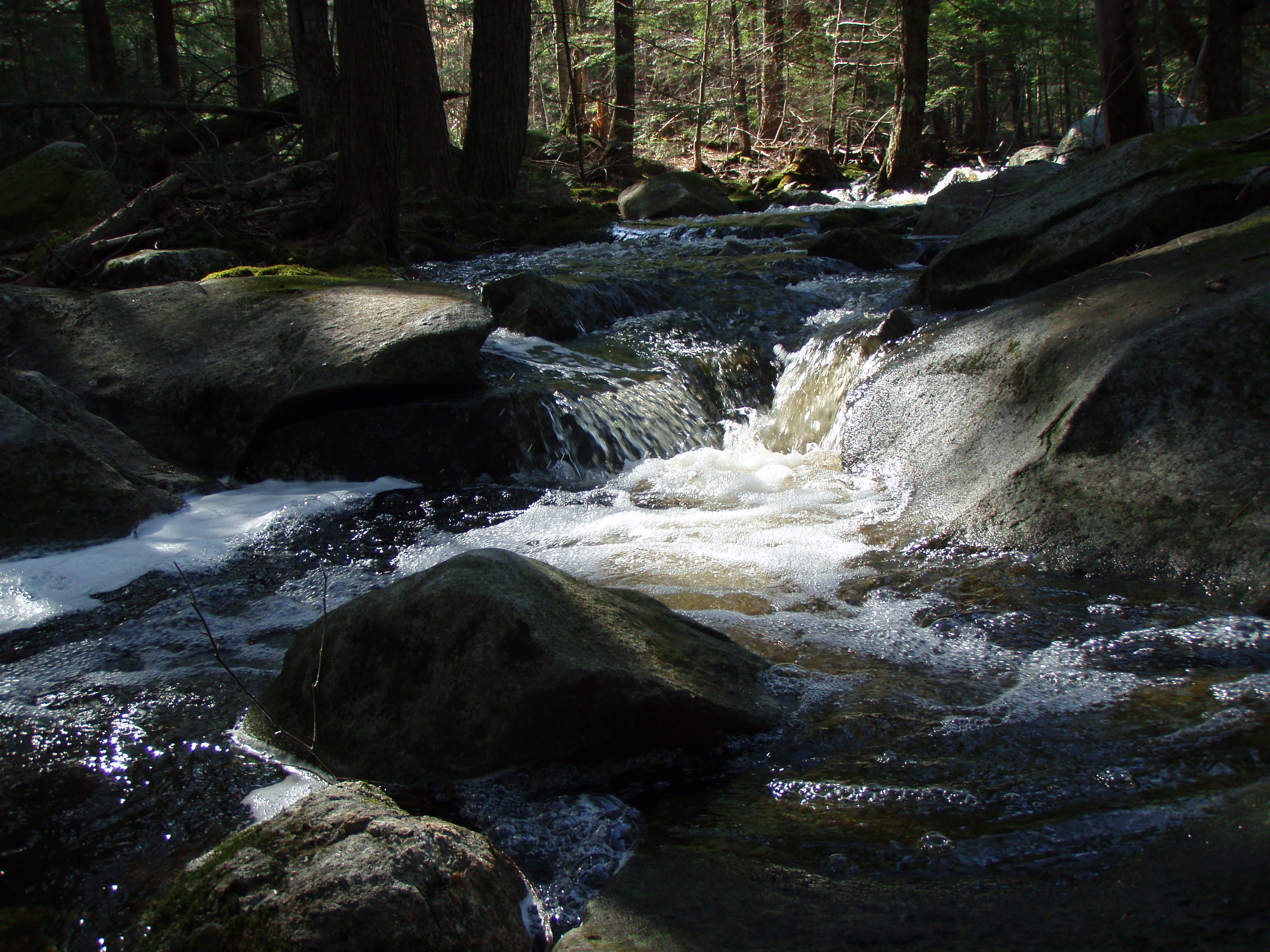
Berry's River
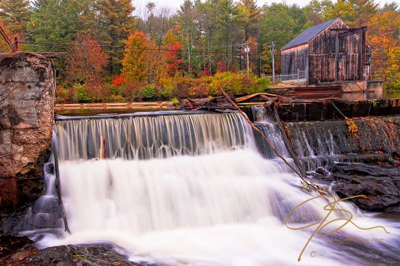
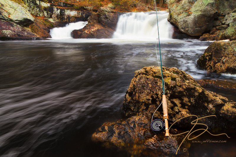
watson-road-waterfalls-1.jpg
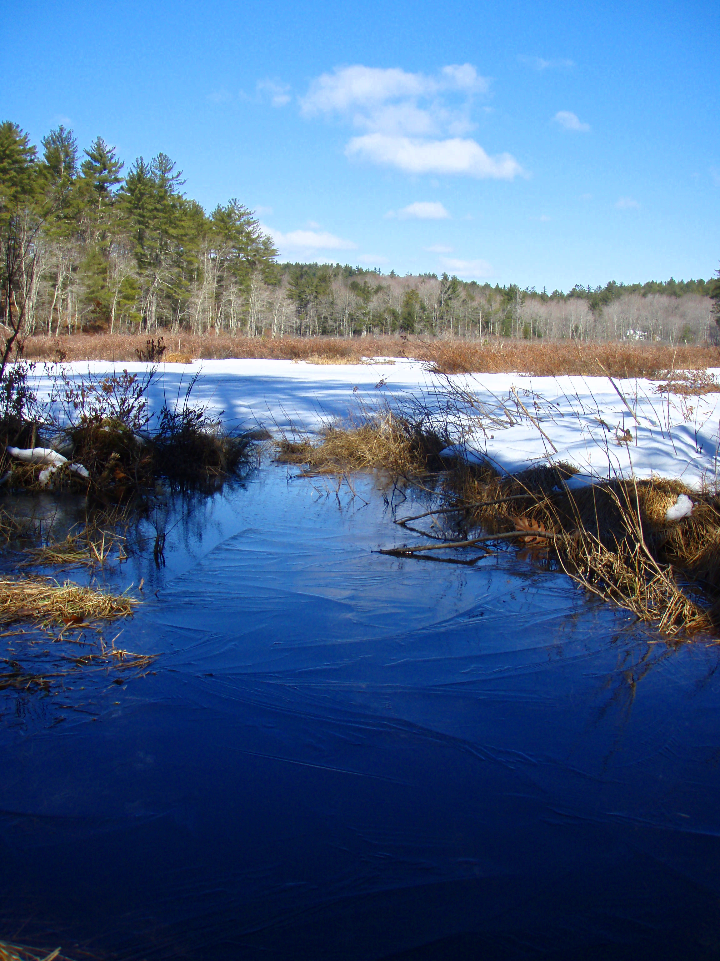
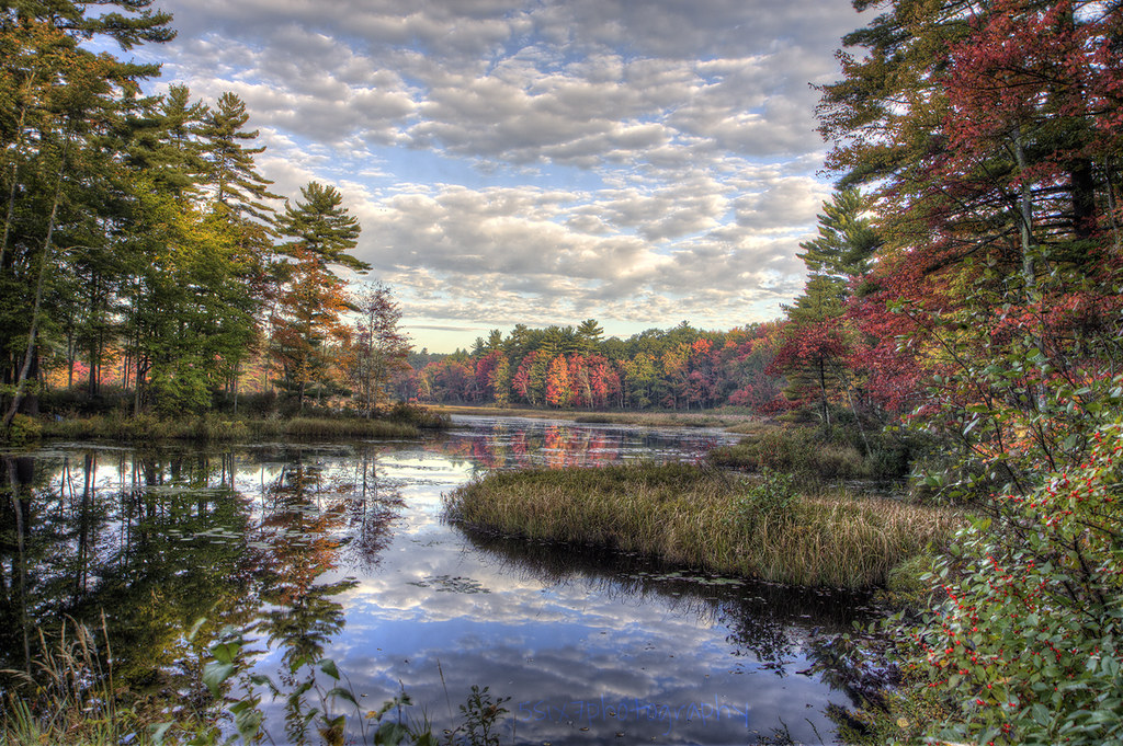
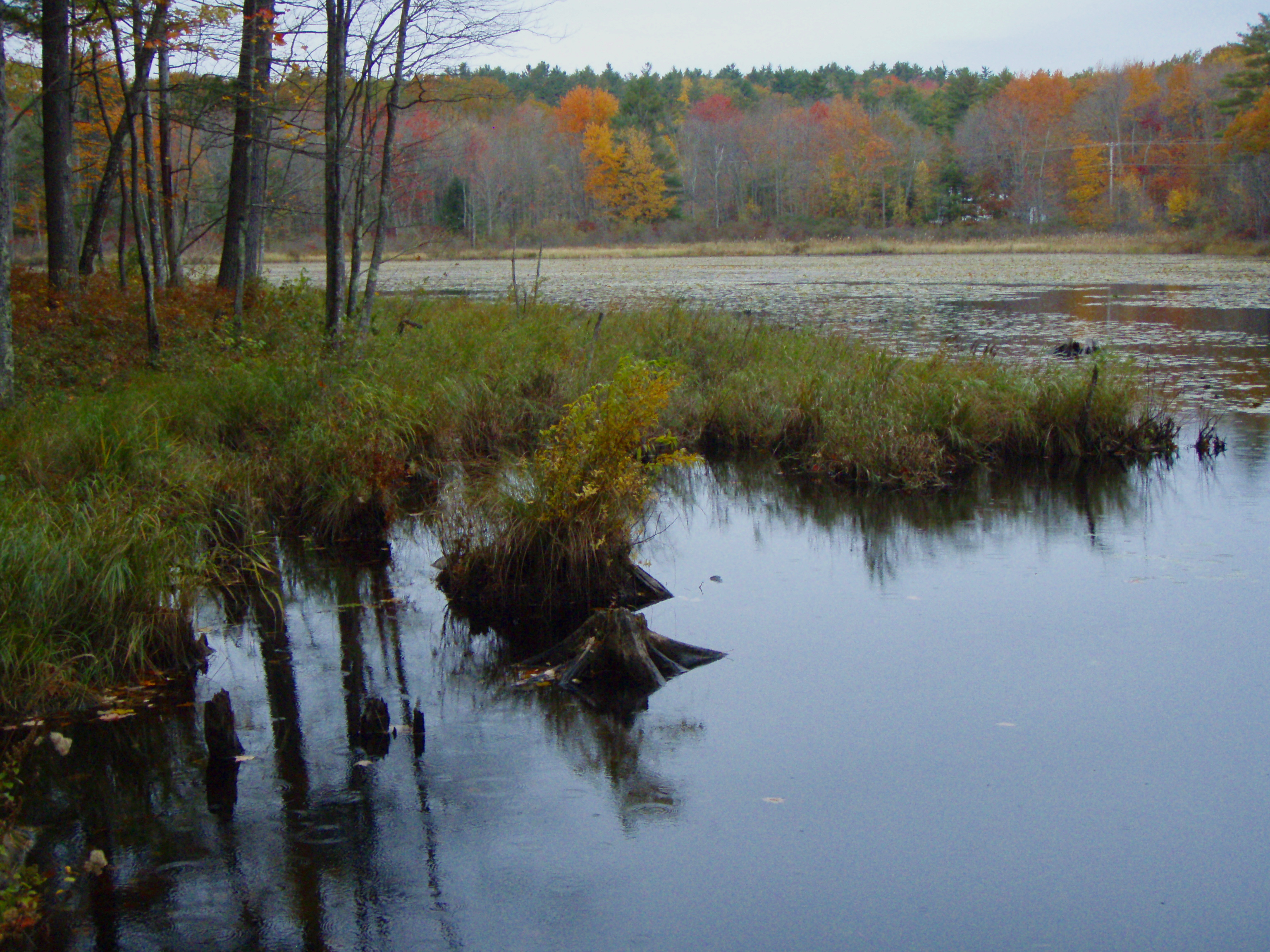
Goodwill Marsh
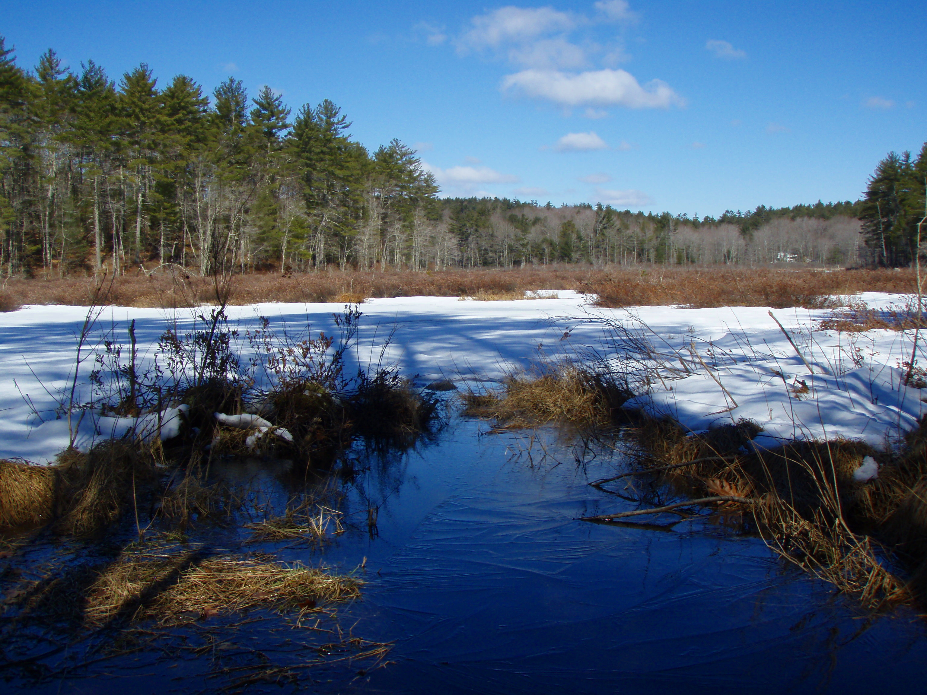
Goodwill Marsh
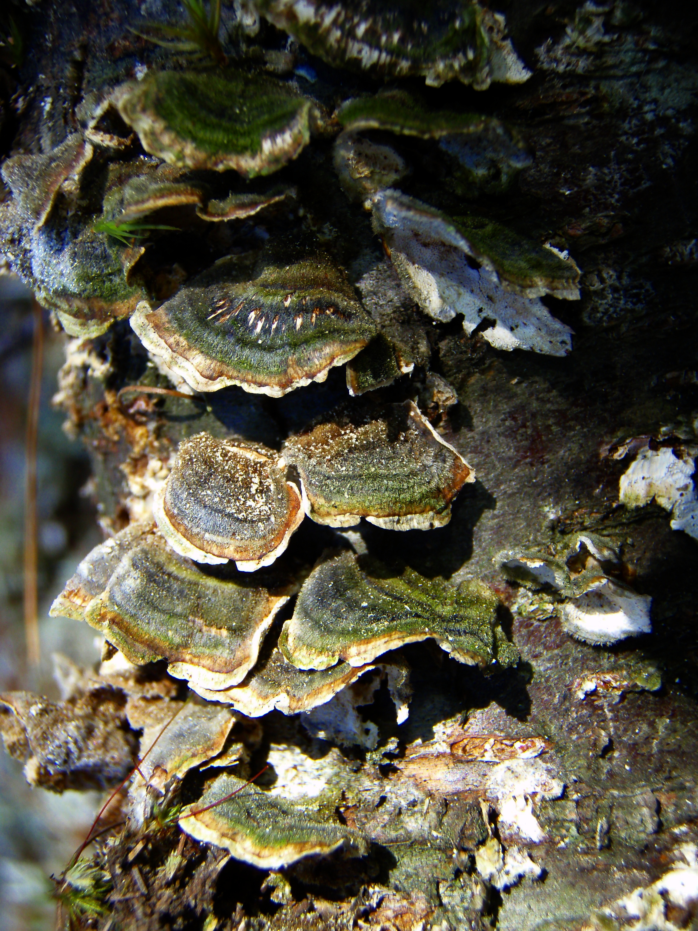
Versicolor Mushrooms

New Hampshire - October 1975
Berry's River
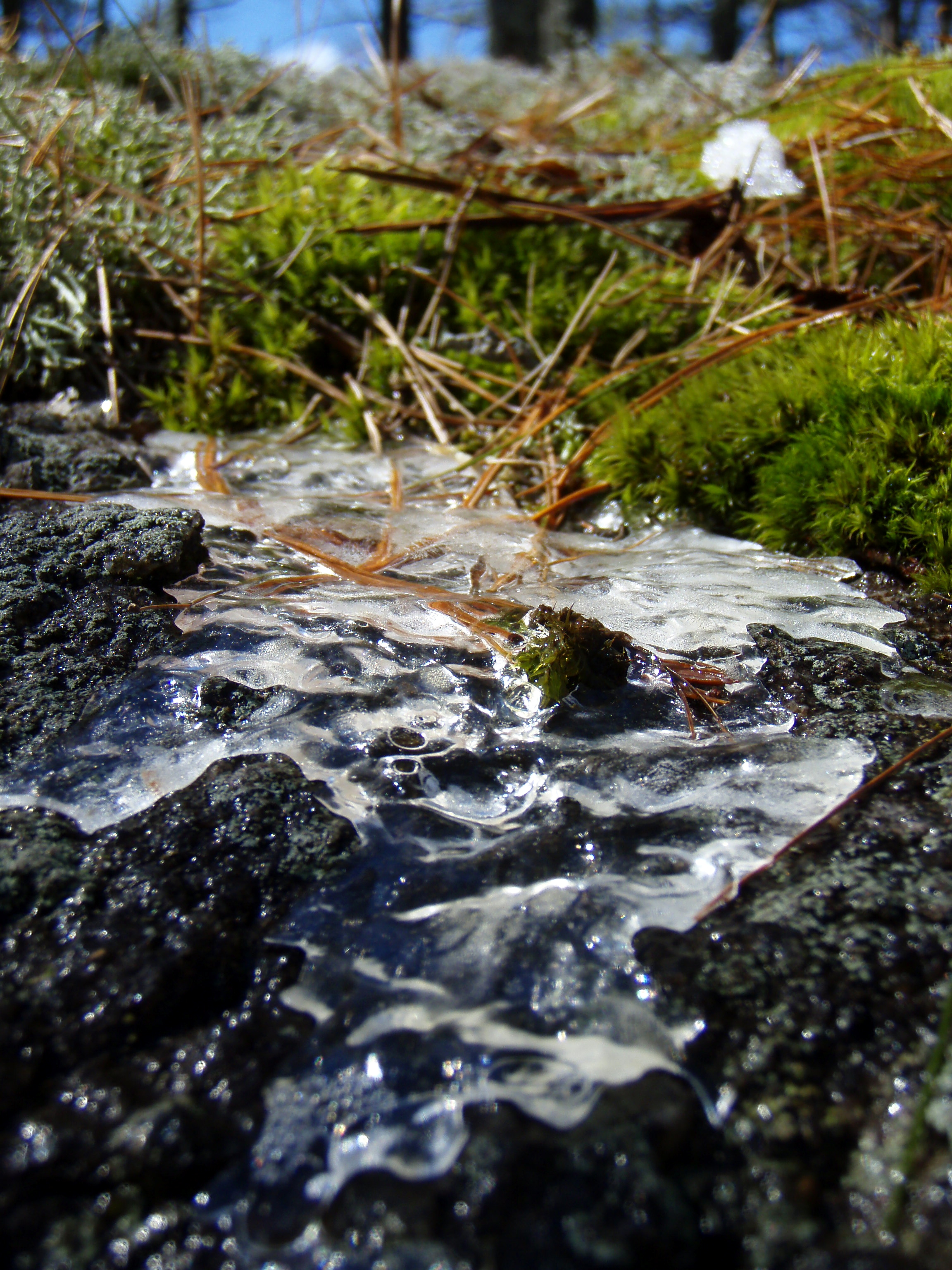
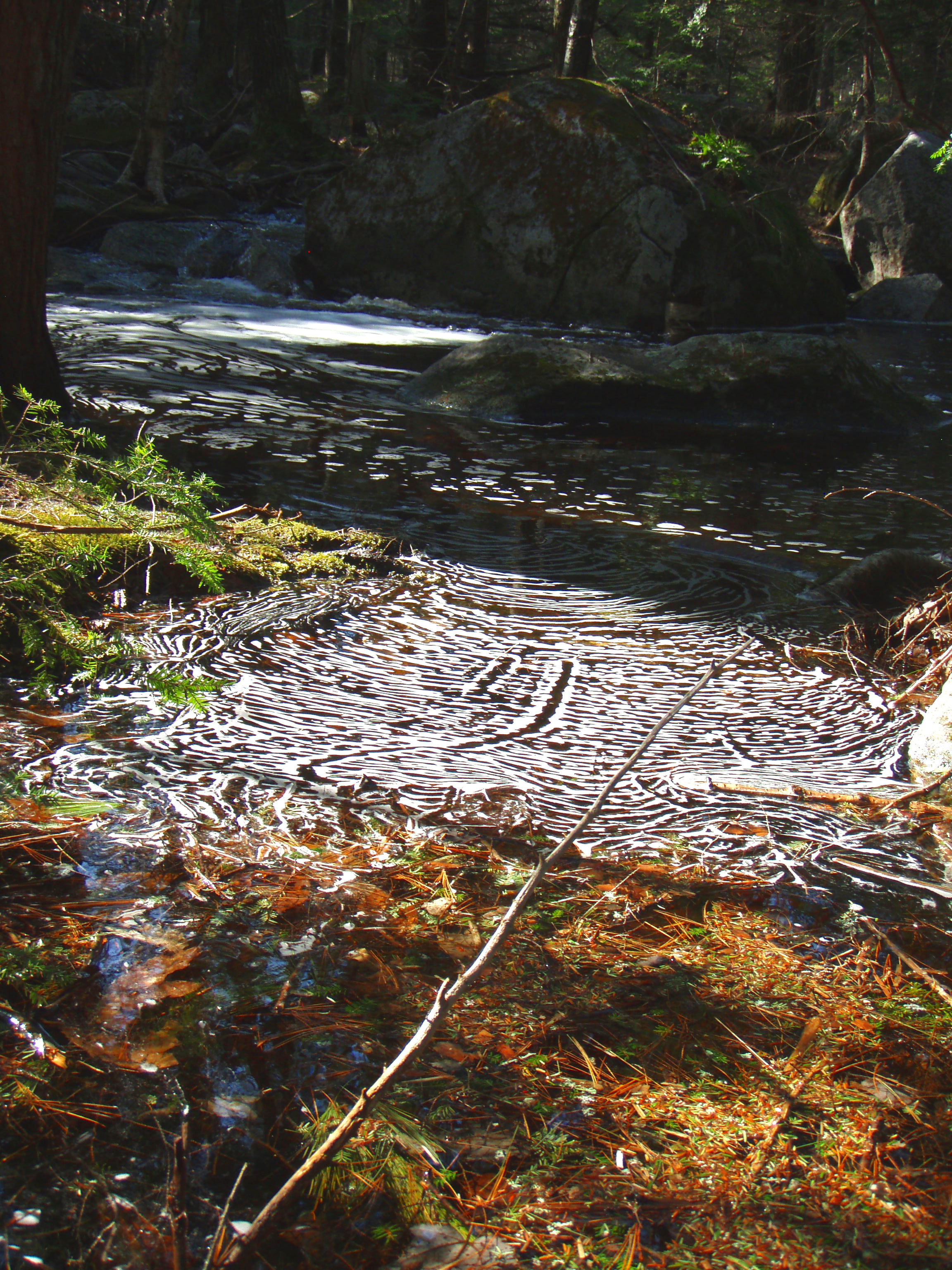
Melting Ice on Mossy Ledge
Richardson Pond

2/15/10 Sunset from Gonic, NH

Berry's River
Topographic Map of Walnut St, Rochester, NH, USA
Find elevation by address:

Places near Walnut St, Rochester, NH, USA:
237 Walnut St
30 Meaderboro Rd
111 Dry Hill Rd
140 Ten Rod Rd
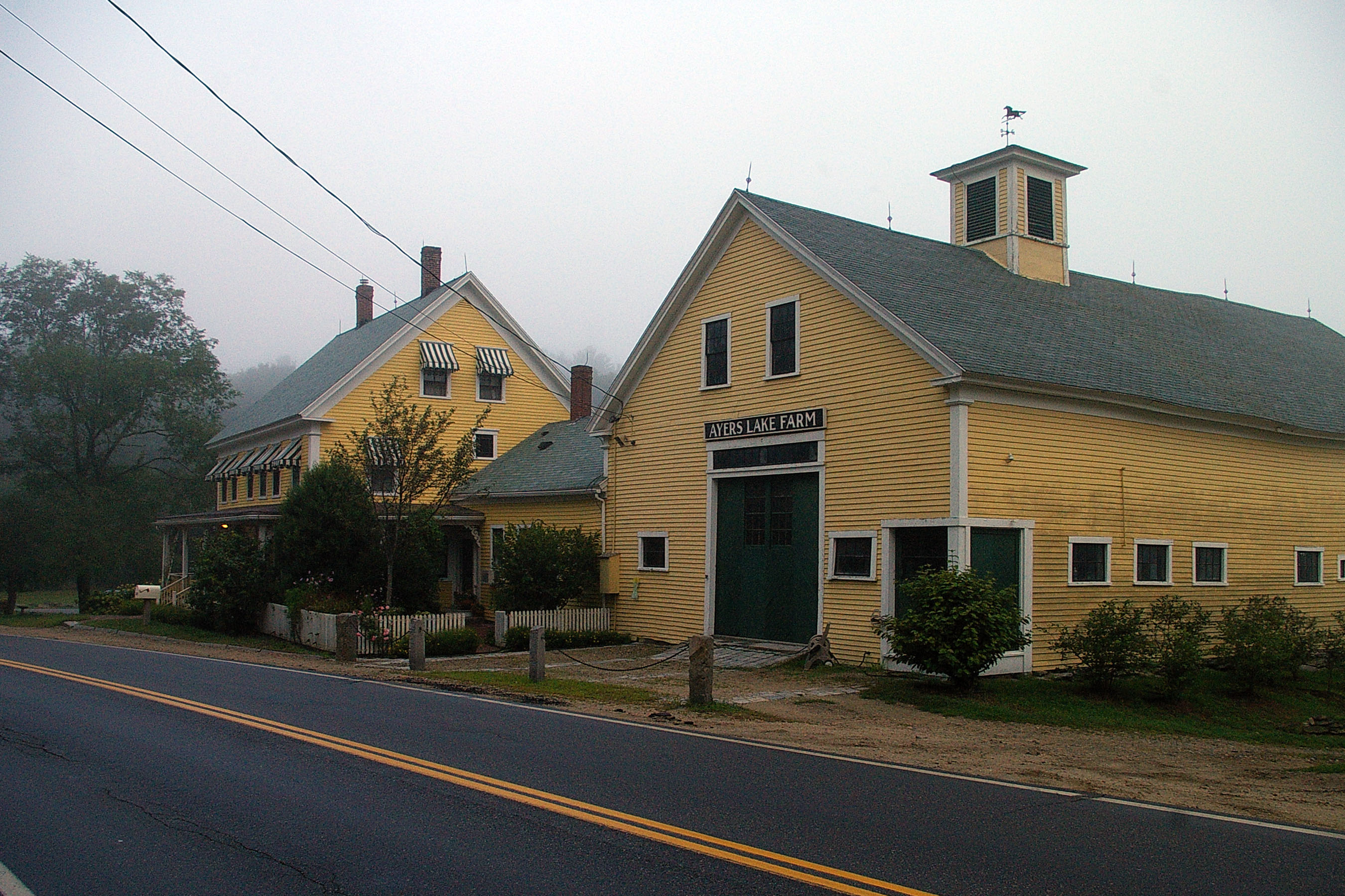
Ten Rod Farm
23 Ten Rod Rd, Farmington, NH, USA
Strafford Road
2nd Crown Point Road
Farmington
143 Main St
5 Fernald Way
New Hampshire 11
51 Civic St
Farmington
17 Civic St
Farmington
Strafford Road
Blue Job Mountain
10 Mooney St
1 Charles St
Recent Searches:
- Elevation of Gateway Blvd SE, Canton, OH, USA
- Elevation of East W.T. Harris Boulevard, E W.T. Harris Blvd, Charlotte, NC, USA
- Elevation of West Sugar Creek, Charlotte, NC, USA
- Elevation of Wayland, NY, USA
- Elevation of Steadfast Ct, Daphne, AL, USA
- Elevation of Lagasgasan, X+CQH, Tiaong, Quezon, Philippines
- Elevation of Rojo Ct, Atascadero, CA, USA
- Elevation of Flagstaff Drive, Flagstaff Dr, North Carolina, USA
- Elevation of Avery Ln, Lakeland, FL, USA
- Elevation of Woolwine, VA, USA