Elevation of Walnut, KS, USA
Location: United States > Kansas > Butler County >
Longitude: -96.985347
Latitude: 37.6234077
Elevation: 374m / 1227feet
Barometric Pressure: 97KPa
Elevation Map:
Satellite Map:
Related Photos:
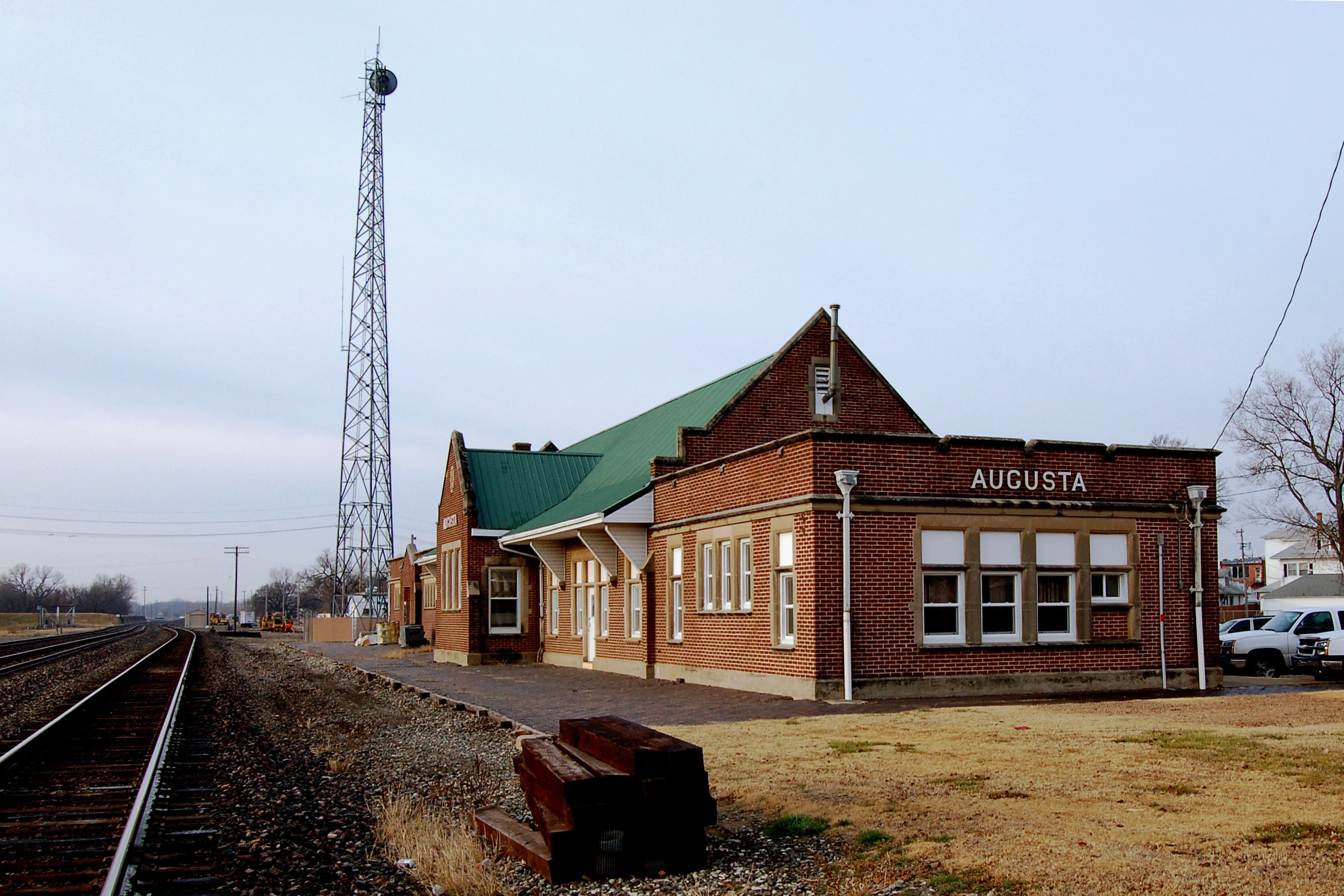
Atchison, Topeka & Santa Fe Railway, Kansas, Augusta (3,360)
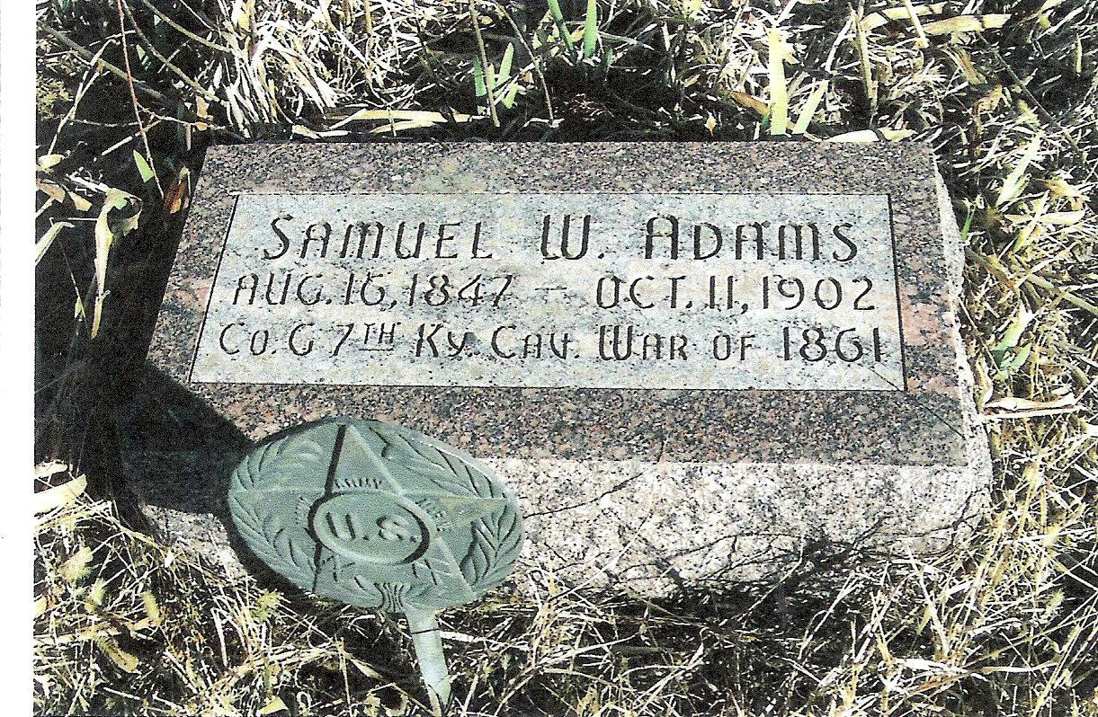
Samuel W. Adams

Atchison, Topeka & Santa Fe Railway, Kansas, Augusta (3,360b)
1,000,000 views!
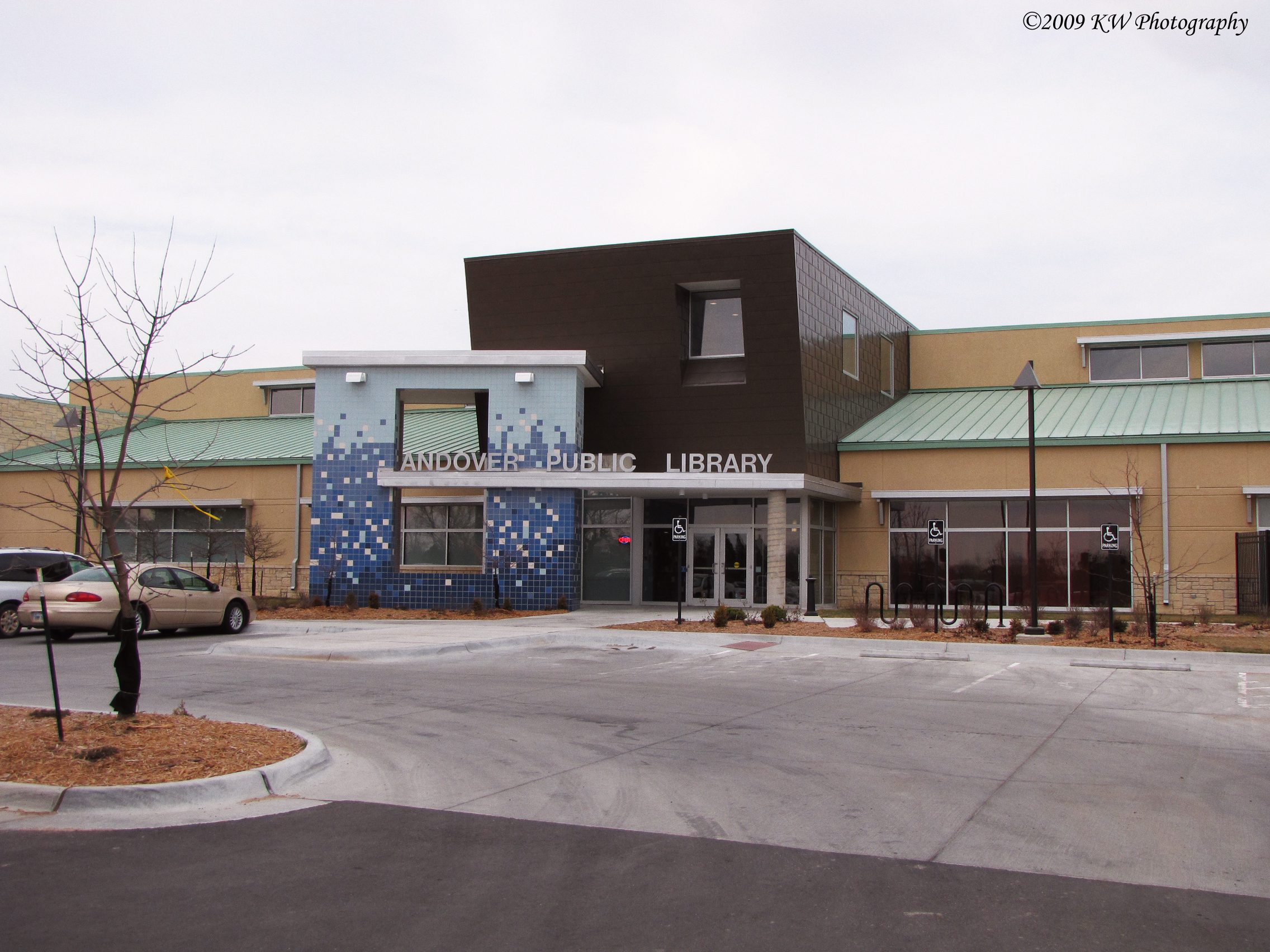
Andover Public Library
Melissa Kelly Imagery
Cold Creek
Newer Rexall sign

#igdaily #instagramers #instagramhub #instagramers #instagood #photooftheday #picoftheday #iphoneonly #iphone #iphonesia #iphoneography #ig_daily #instamood #igers #instagroove #instahub #pop #igaddict #igoftheday #allphone #ig #igs #insta #eavig #skyki

Set!
UC Davis Golf - Flint Hills
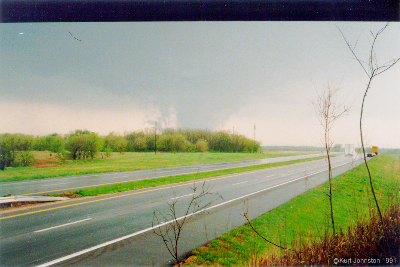
Andover Tornado - 1
Topographic Map of Walnut, KS, USA
Find elevation by address:

Places in Walnut, KS, USA:
Places near Walnut, KS, USA:
SW rd St, Augusta, KS, USA
210 Us-400
7th Street
Augusta
Osage St, Augusta, KS, USA
SW th Terrace, Douglass, KS, USA
1717 State St
Lily Lake School
Augusta
Douglass
Bloomington
Douglass
S Chestnut St, Douglass, KS, USA
6686 Sw Buffalo Rd
16889 Sw Haverhill Rd
SW th St, Leon, KS, USA
Towanda
High St, Towanda, KS, USA
Towanda
SW 40th St, El Dorado, KS, USA
Recent Searches:
- Elevation of Gateway Blvd SE, Canton, OH, USA
- Elevation of East W.T. Harris Boulevard, E W.T. Harris Blvd, Charlotte, NC, USA
- Elevation of West Sugar Creek, Charlotte, NC, USA
- Elevation of Wayland, NY, USA
- Elevation of Steadfast Ct, Daphne, AL, USA
- Elevation of Lagasgasan, X+CQH, Tiaong, Quezon, Philippines
- Elevation of Rojo Ct, Atascadero, CA, USA
- Elevation of Flagstaff Drive, Flagstaff Dr, North Carolina, USA
- Elevation of Avery Ln, Lakeland, FL, USA
- Elevation of Woolwine, VA, USA