Elevation of Walmart Supercenter, S Springfield Ave, Bolivar, MO, USA
Location: United States > Missouri > Polk County > Northwest Marion Township > Bolivar >
Longitude: -93.403009
Latitude: 37.5916053
Elevation: 337m / 1106feet
Barometric Pressure: 97KPa
Elevation Map:
Satellite Map:
Related Photos:

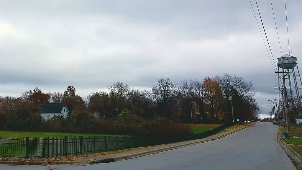
General store....
Front yard view, December
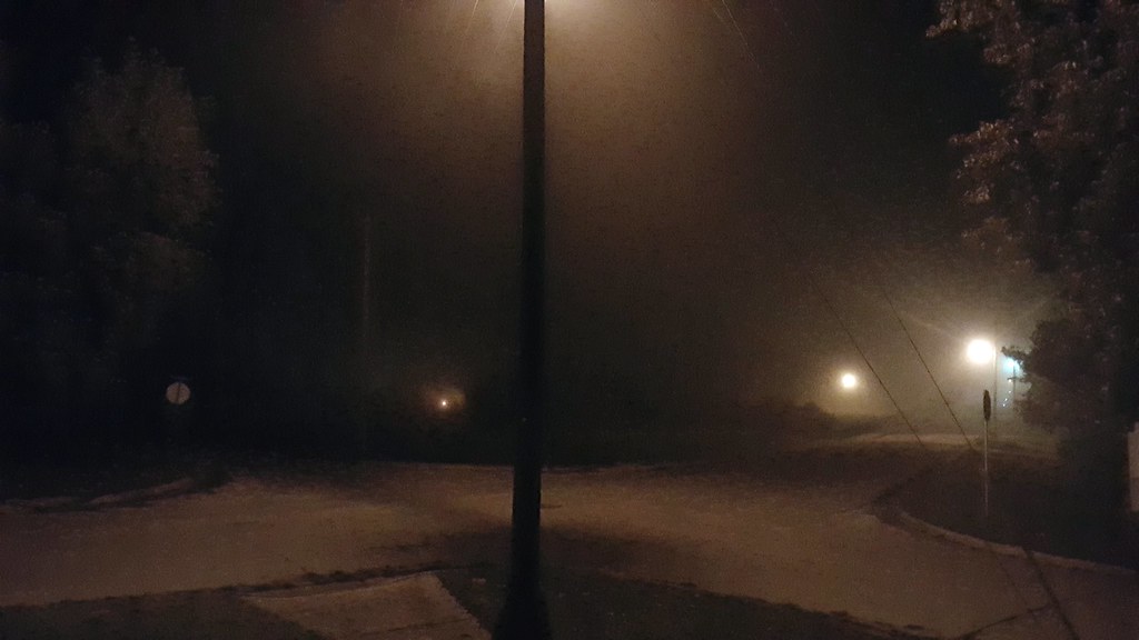
a light in the fog

Sea of Purple

the color purple (#3)
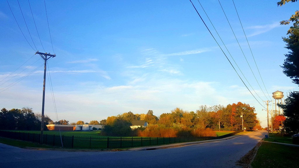
just before sunset

the color purple

DSC_0420-bw

hawk eating in yard

IMG_4465-2_edited-1_1.jpg
Topographic Map of Walmart Supercenter, S Springfield Ave, Bolivar, MO, USA
Find elevation by address:

Places near Walmart Supercenter, S Springfield Ave, Bolivar, MO, USA:
Aldi
Bolivar
E Broadway St, Bolivar, MO, USA
Bolivar High School
4007 Mo-83
Southwest Marion Township
Southeast Marion Township
Fairway Drive
Northwest Marion Township
Northeast Marion Township
1812 Mo-32
Polk County
3755 S 128th Rd
MO-32, Halfway, MO, USA
Halfway
South Benton Township
MO-, Walnut Grove, MO, USA
11957 N Farm Rd 101
Pleasant Hope
11831 N Farm Rd 93
Recent Searches:
- Elevation of Sattva Horizon, 4JC6+G9P, Vinayak Nagar, Kattigenahalli, Bengaluru, Karnataka, India
- Elevation of Great Brook Sports, Gold Star Hwy, Groton, CT, USA
- Elevation of 10 Mountain Laurels Dr, Nashua, NH, USA
- Elevation of 16 Gilboa Ln, Nashua, NH, USA
- Elevation of Laurel Rd, Townsend, TN, USA
- Elevation of 3 Nestling Wood Dr, Long Valley, NJ, USA
- Elevation of Ilungu, Tanzania
- Elevation of Yellow Springs Road, Yellow Springs Rd, Chester Springs, PA, USA
- Elevation of Rēzekne Municipality, Latvia
- Elevation of Plikpūrmaļi, Vērēmi Parish, Rēzekne Municipality, LV-, Latvia