Elevation map of Walcha NSW, Australia
Location: Australia > New South Wales >
Longitude: 151.593270
Latitude: -30.985245
Elevation: 1047m / 3435feet
Barometric Pressure: 89KPa
Elevation Map:
Satellite Map:
Related Photos:
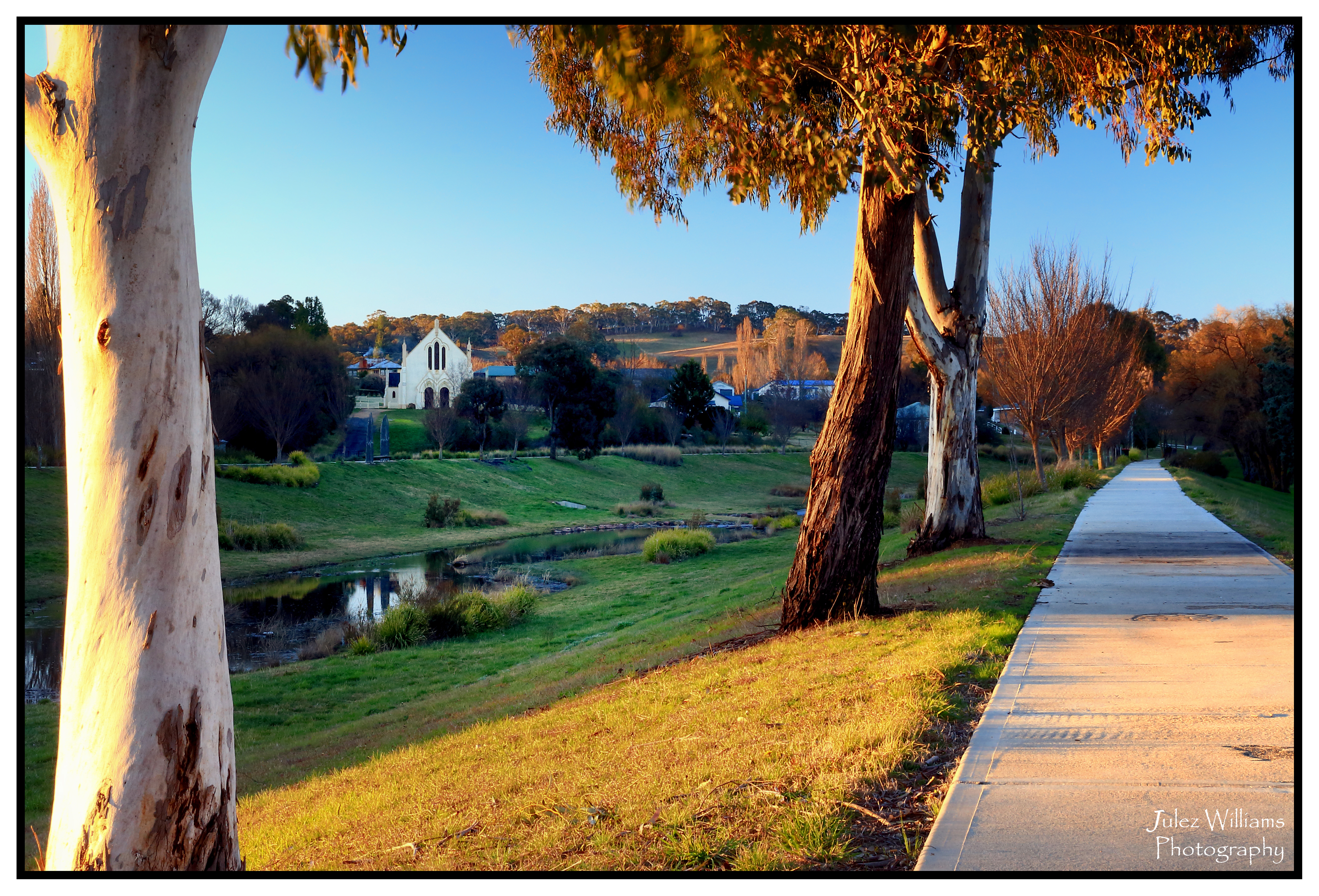
Resting in the Shadows

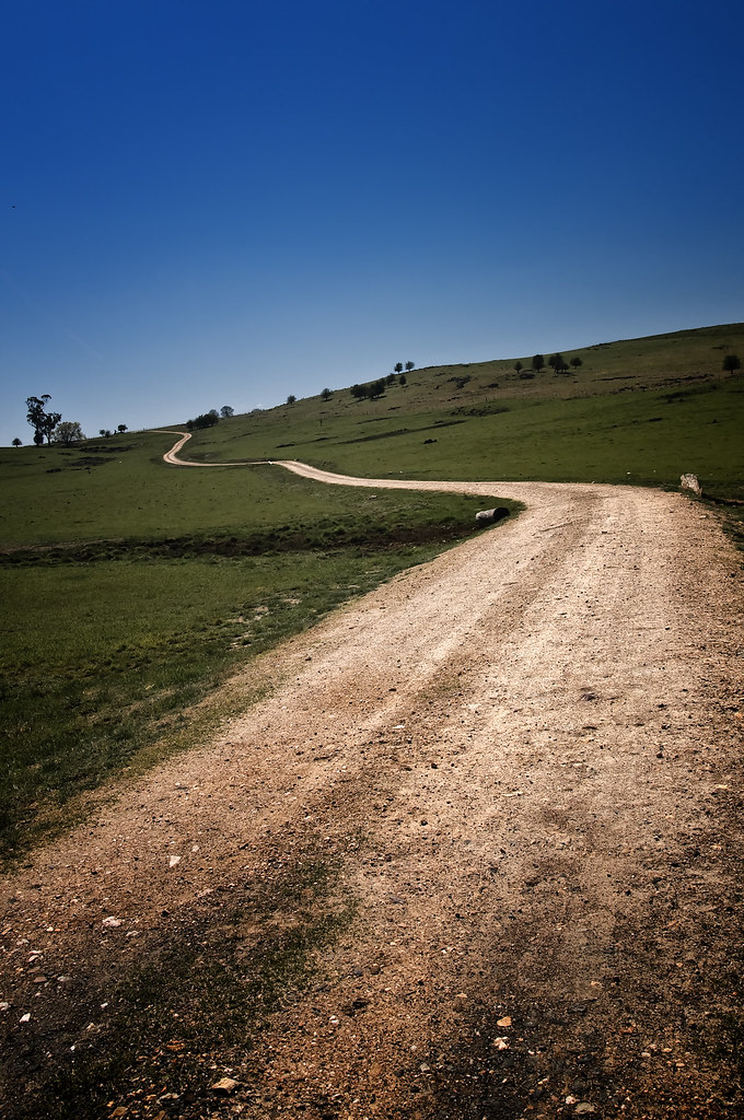
The Long & Winding Road

Pegasol Antiseptic Wash
King of the Road

Quiet Forest

Thunderbolt's Way

Black Knob

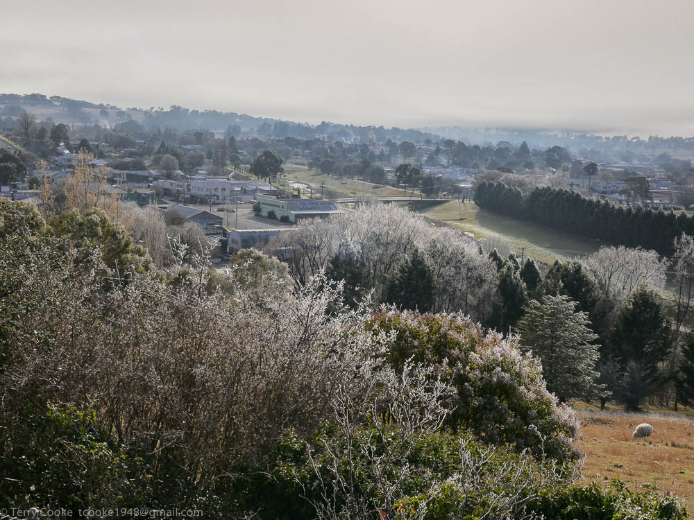
Bridge over Apsley River & Walcha Common, Walcha, NSW

Langford at Walcha
150622_0199WalchaLx.jpg

130419_0252WalchaLx.jpg

120328_0118WalchaLx.jpg

130213_0407WalchaLx.jpg

130419_0284WalchaLx.jpg

120513_0017WalchaLx.jpg

Hide and Seek

0047 Paddock
Topographic Map of Walcha NSW, Australia
Find elevation by address:

Places in Walcha NSW, Australia:
Places near Walcha NSW, Australia:
213e Croudace St
Walcha Road Police Station
Walcha Road Hotel
2337 Danglemah Rd
Danglemah Road
Niangala
Hell Hole Forest Road
Grundy Forest Road
Nowendoc
Allawah Road
Amberley
Piallamore
771 Barry Rd
1239 Barry Rd
Moore Creek
Rosella Avenue
Hanging Rock
Roderick Street
Tamworth
Tamworth
Recent Searches:
- Elevation of Lalagbene, Bayelsa, Nigeria
- Elevation of Ogbosuware Health Centre, 2WWJ+4PJ, Lalagbene, Bayelsa, Nigeria
- Elevation of Duckhorn Ct, Las Vegas, NV, USA
- Elevation of Garretts Run Rd, Ford City, PA, USA
- Elevation of N WI-55, Freedom, WI, USA
- Elevation map of Hadiya, Ethiopia
- Elevation of Hosaina, Ethiopia
- Elevation of Verde Terrace, North Port, FL, USA
- Elevation of US-, Leesburg, FL, USA
- Elevation of Summit Dr, Kerrville, TX, USA