Elevation of Wahlheim, Germany
Location: Germany > Rhineland-palatinate > Alzey-worms >
Longitude: 8.1025561
Latitude: 49.7179528
Elevation: 215m / 705feet
Barometric Pressure: 99KPa
Elevation Map:
Satellite Map:
Related Photos:

Birds. Lots of 'em. [EXPLORED]

Frosty Morning

The shadows are getting shorter

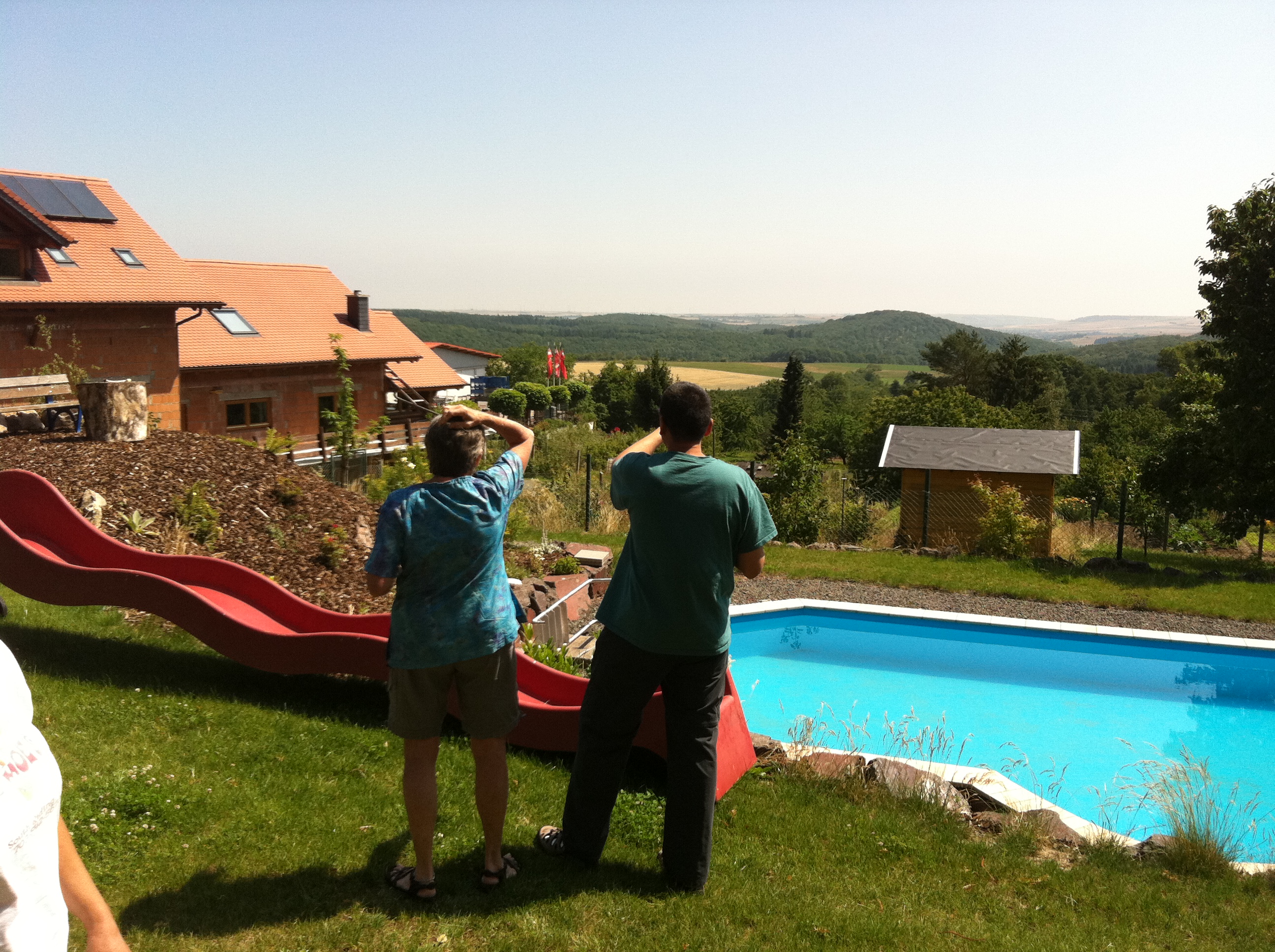
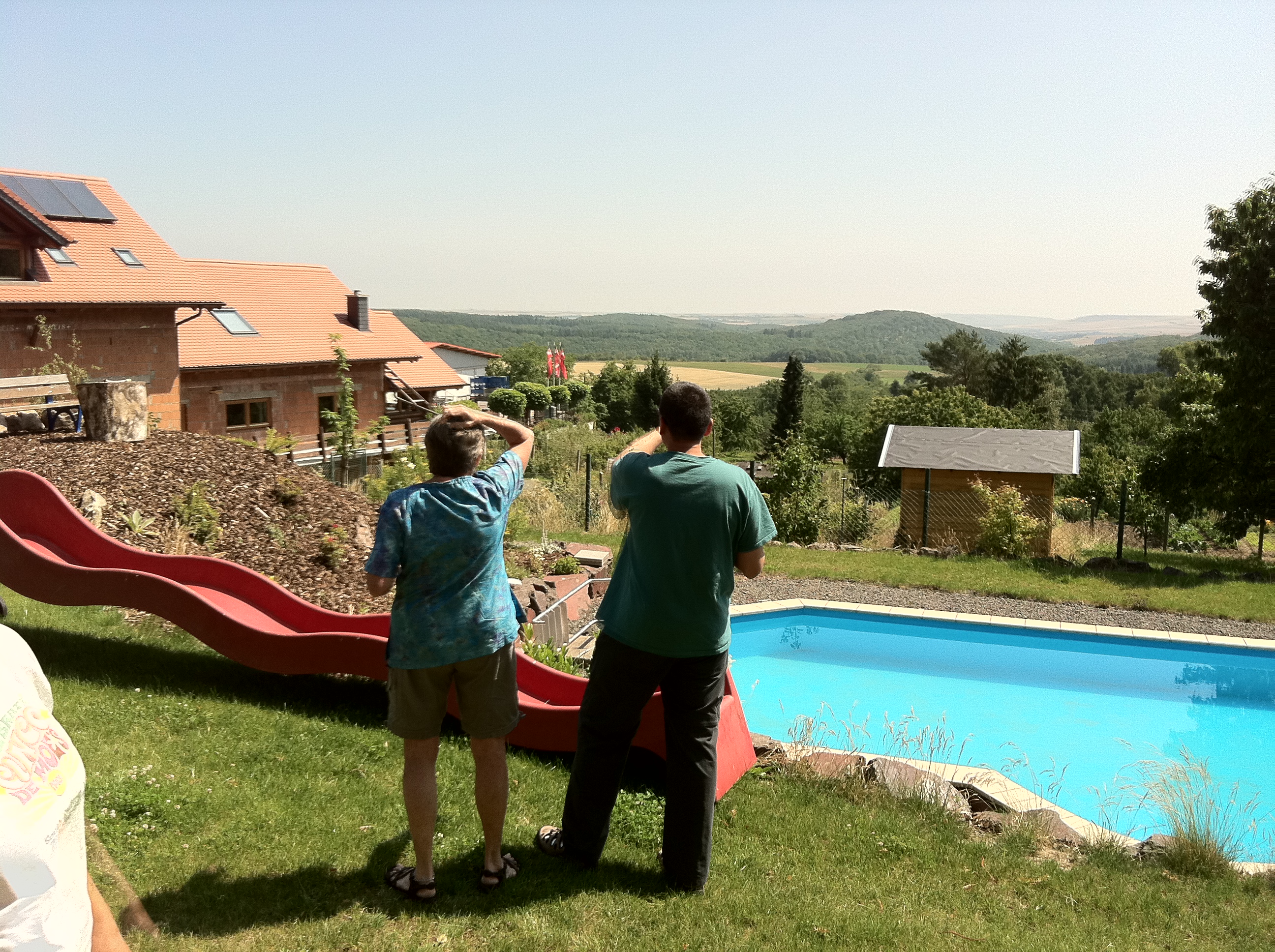
Garten in Gundersheim :: HDR

établissement vinicole ©

Group Photo

The Kiirtan Flow
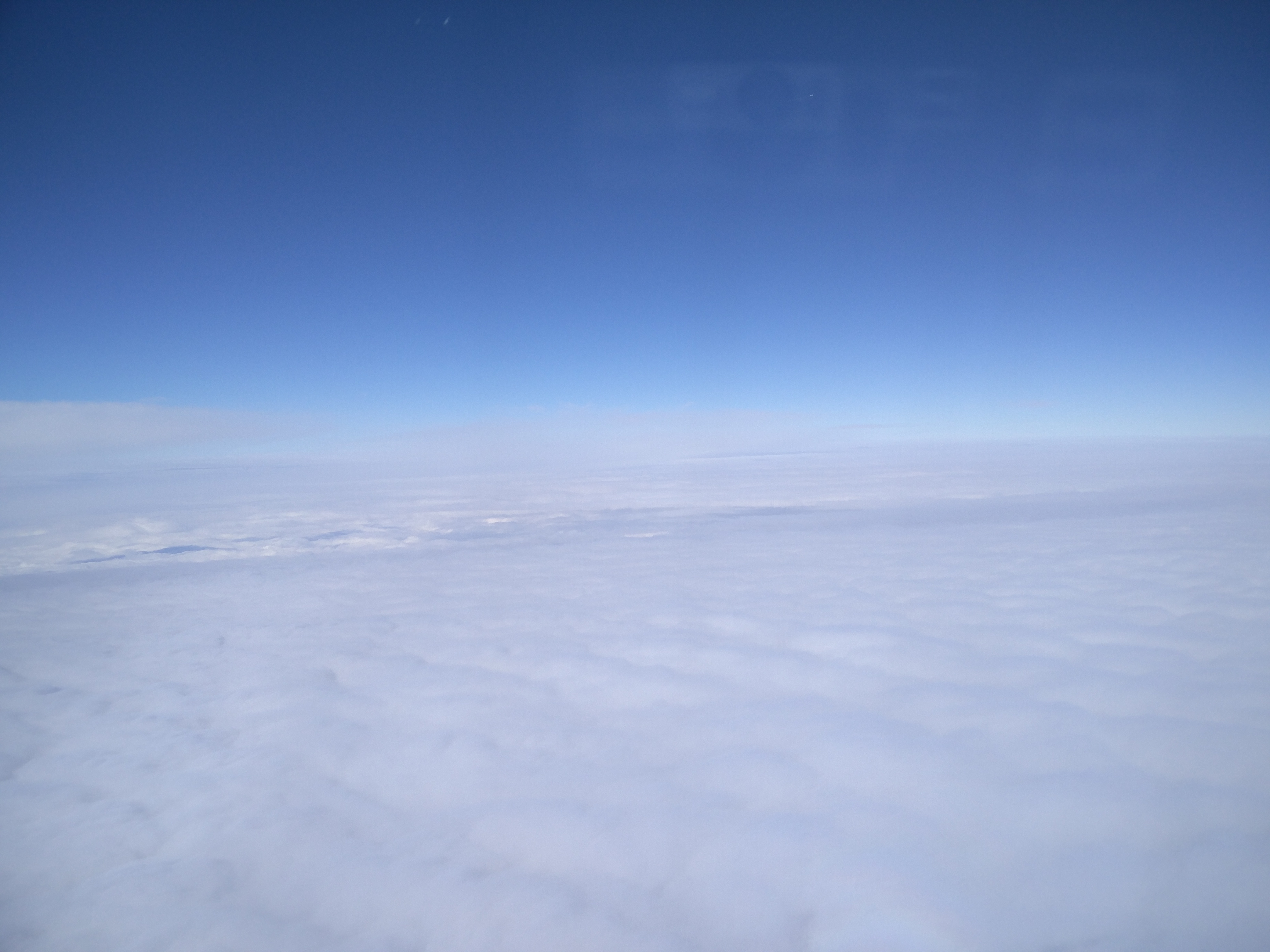
View after take-off

So, jetzt wollte ich mir das Mittagsmagazin in Alzey beim public viewing ansehen, und was ist? Der Fernseher ist aus.
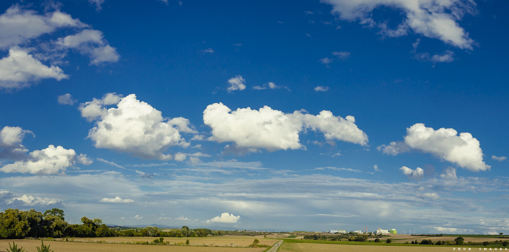
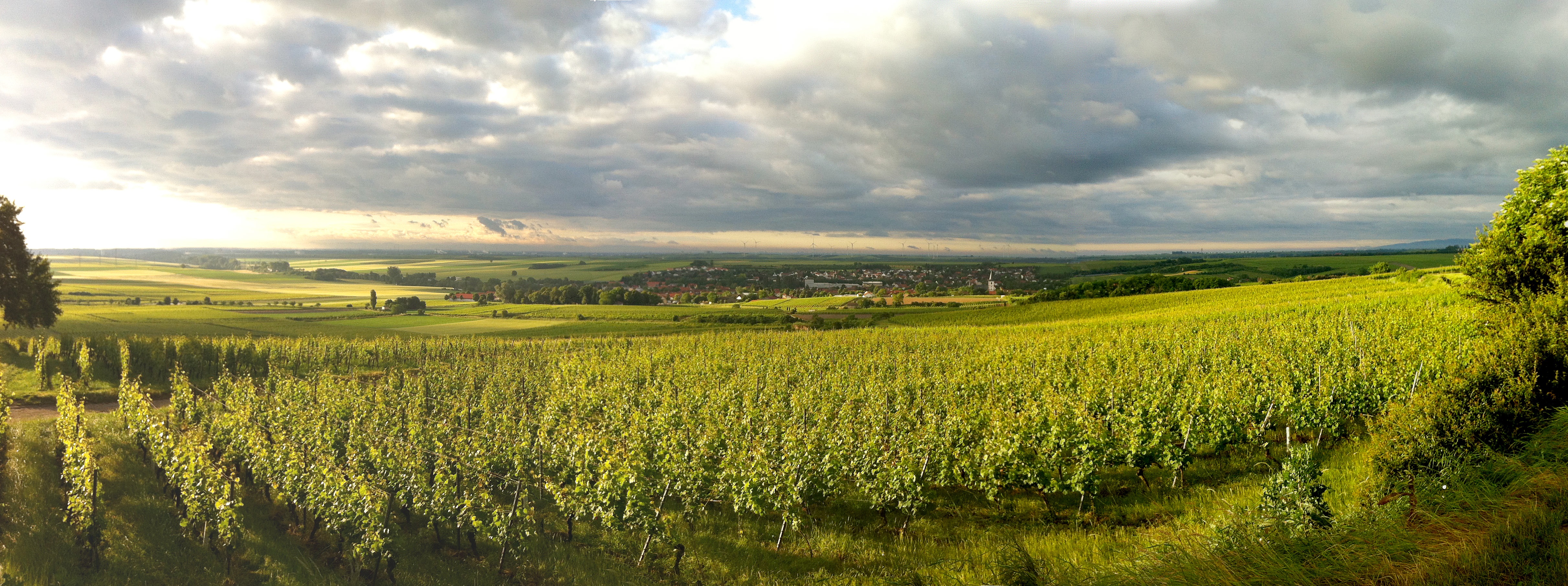
Bockenheim Panorama
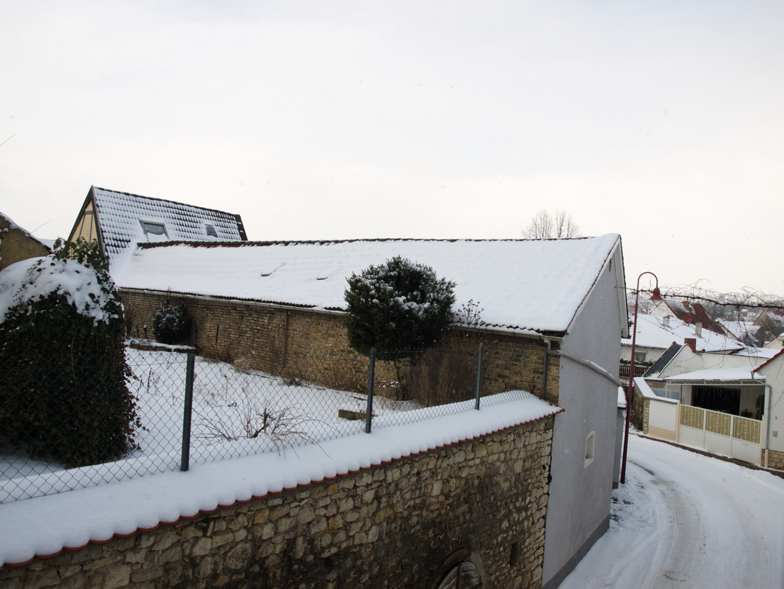
Winter view

the thing about keeping

View from the bench

Bench with a view

Looking for Liberty
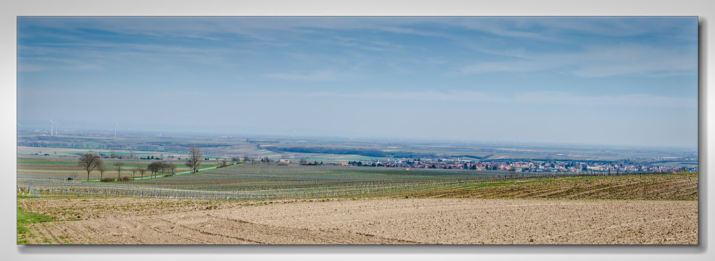
a view at Flörsheim-Dalsheim
Dannenfels View from backyard
Dannenfels view of the barn
Dannenfels view of the barn
Dannenfels view of the barn
Dannenfels View from backyard

Strohballen 2

Wendelsheim - Weihnachten 2014

Alzey/Rheinhessen
Blick über Westhofen

31.05.2016 | Wörrstadt

Nature...

Photographer's Delight

Landschaft 2
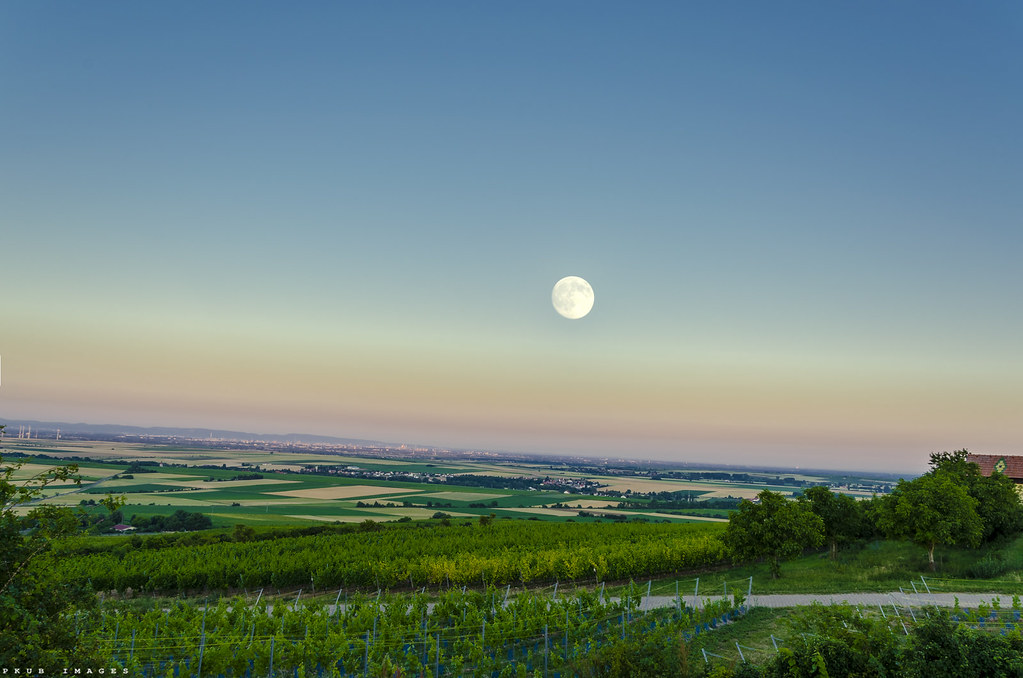
Moon over Leininger Land

Trullo bei Wöllstein

Unterm Baum

Unser Weiher

Wendelsheim Panorama [EXPLORED]

Wingertsturm bei Alzey

Welcome to paradise
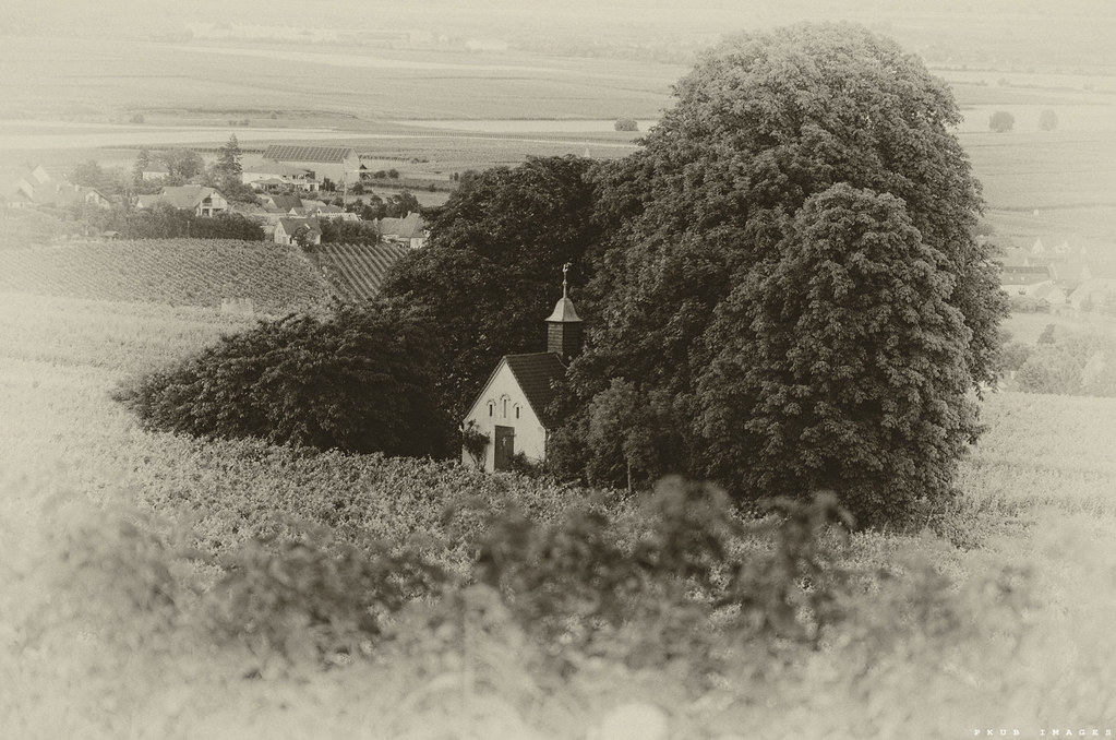
the old Chapel in Bockenheim (old style)

Heiligblut-Turm Alzey-Weinheim
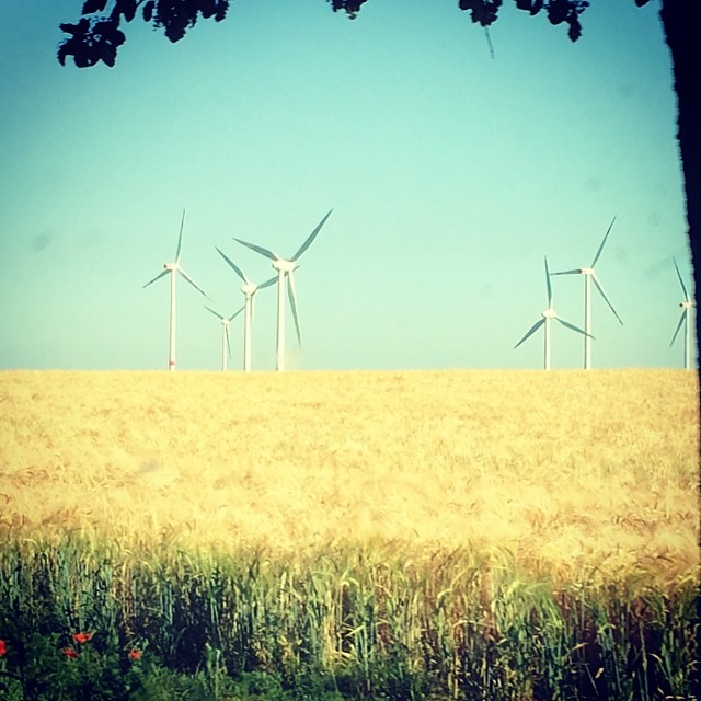
#Windpark auf dem Lande

Before the Storm

Working in the Vineyard

Zellertal Panorama
Topographic Map of Wahlheim, Germany
Find elevation by address:

Places near Wahlheim, Germany:
Obergasse 3, Freimersheim, Germany
Freimersheim
Esselborn
Alzey
Unnamed Road
Alzey-worms
Flonheim
Niederstraße 15, Spiesheim, Germany
Spiesheim
Donnersbergkreis
Uffhofen
Hauptstraße 45, Flonheim, Germany
Wachenheim
Wormser Str. 10, Wachenheim, Germany
Neue Allee 15, Kirchheimbolanden, Germany
Kirchheimbolanden
Nieder-wiesen
Rathausgasse 4, Bechtolsheim, Germany
Bechtolsheim
Rodenbach
Recent Searches:
- Elevation of Zimmer Trail, Pennsylvania, USA
- Elevation of 87 Kilmartin Ave, Bristol, CT, USA
- Elevation of Honghe National Nature Reserve, QP95+PJP, Tongjiang, Heilongjiang, Jiamusi, Heilongjiang, China
- Elevation of Hercules Dr, Colorado Springs, CO, USA
- Elevation of Szlak pieszy czarny, Poland
- Elevation of Griffing Blvd, Biscayne Park, FL, USA
- Elevation of Kreuzburger Weg 13, Düsseldorf, Germany
- Elevation of Gateway Blvd SE, Canton, OH, USA
- Elevation of East W.T. Harris Boulevard, E W.T. Harris Blvd, Charlotte, NC, USA
- Elevation of West Sugar Creek, Charlotte, NC, USA