Elevation of Wahehe Township, SD, USA
Location: United States > South Dakota > Charles Mix County >
Longitude: -98.418422
Latitude: 42.9618156
Elevation: 463m / 1519feet
Barometric Pressure: 96KPa
Elevation Map:
Satellite Map:
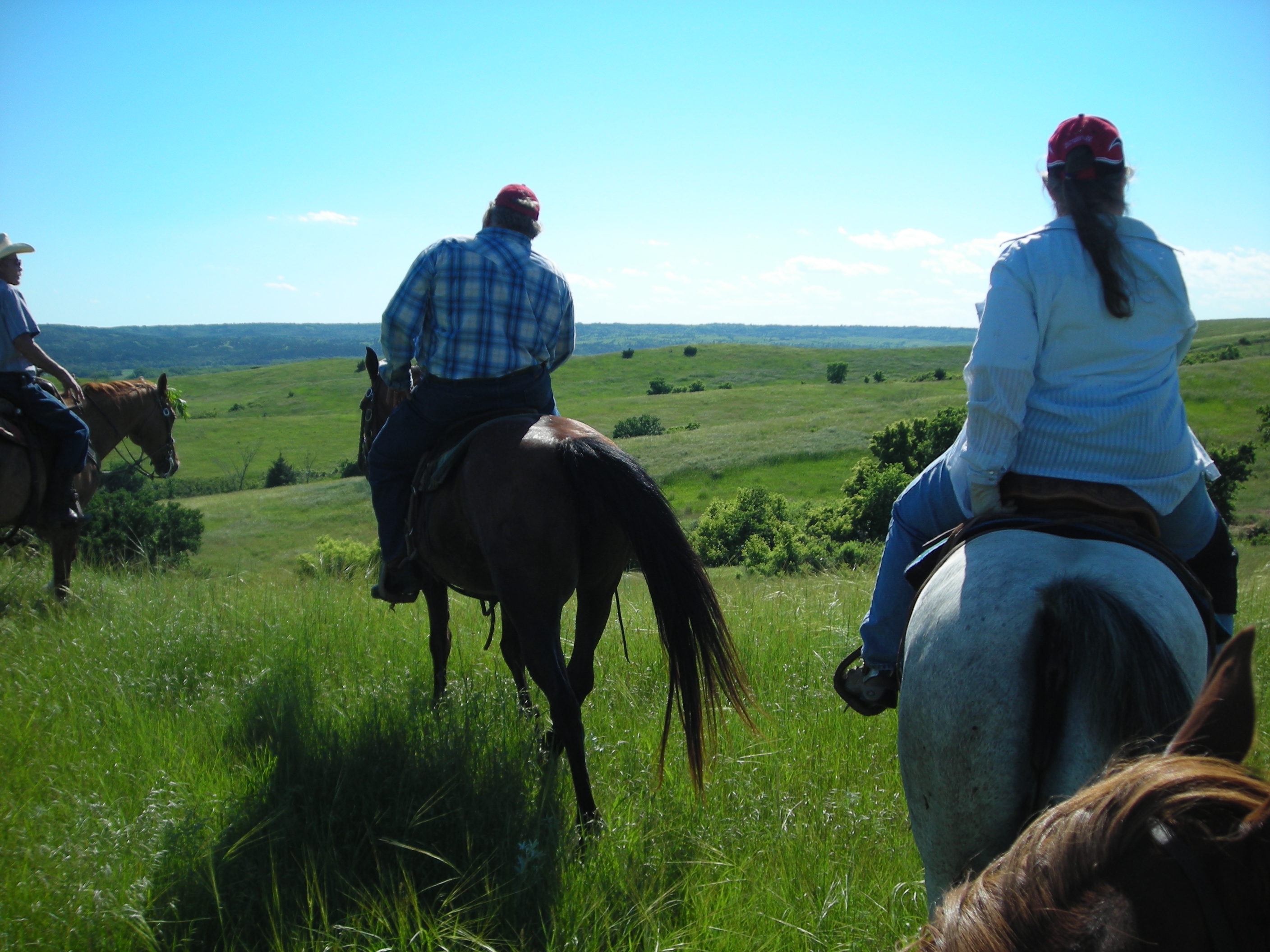
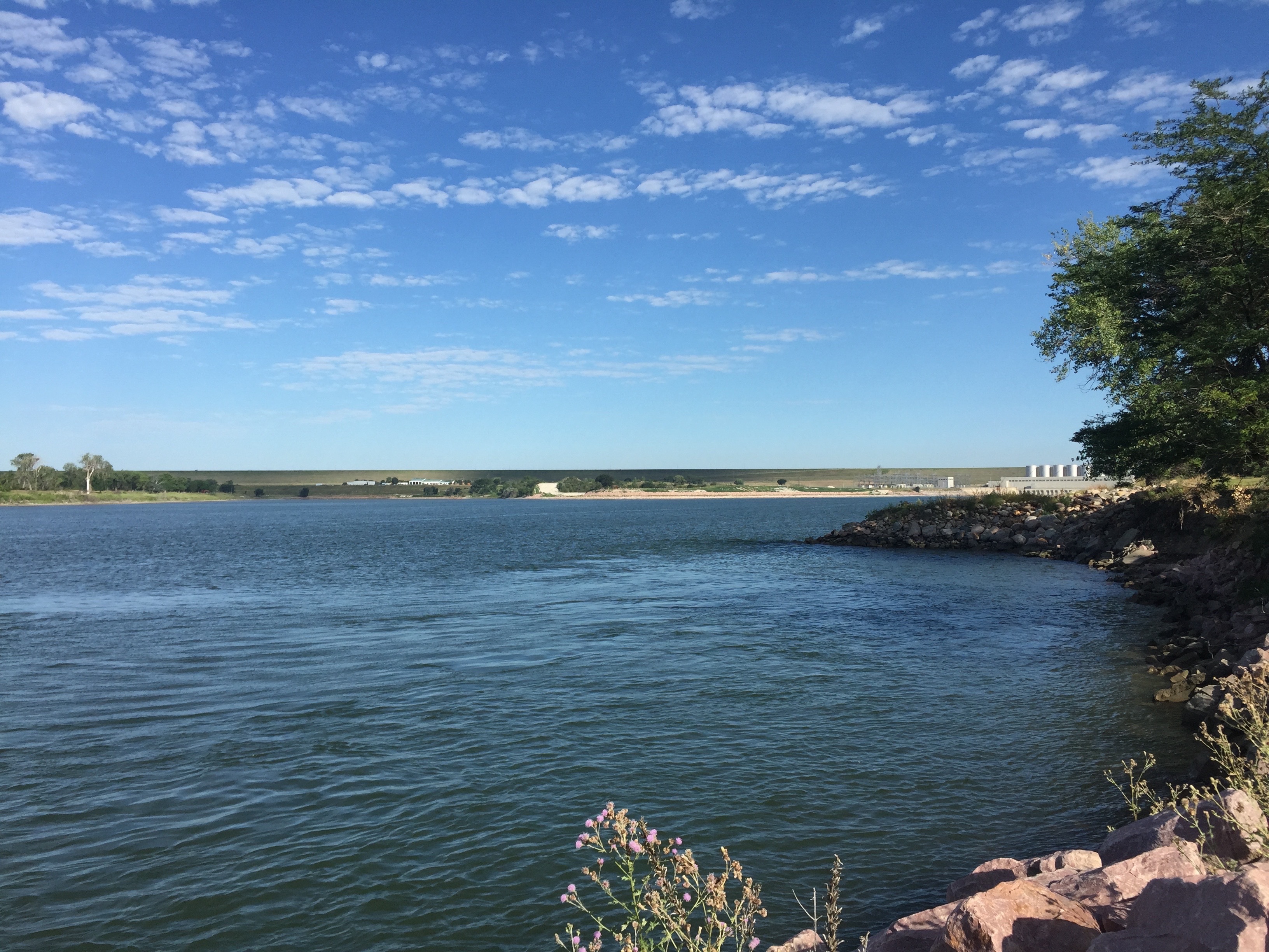
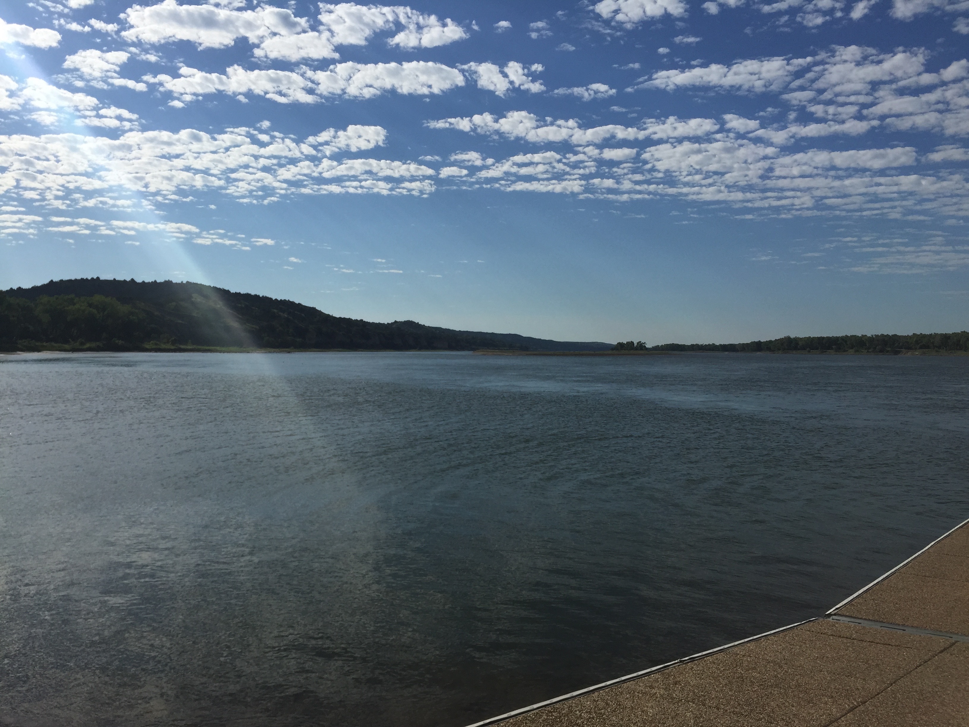
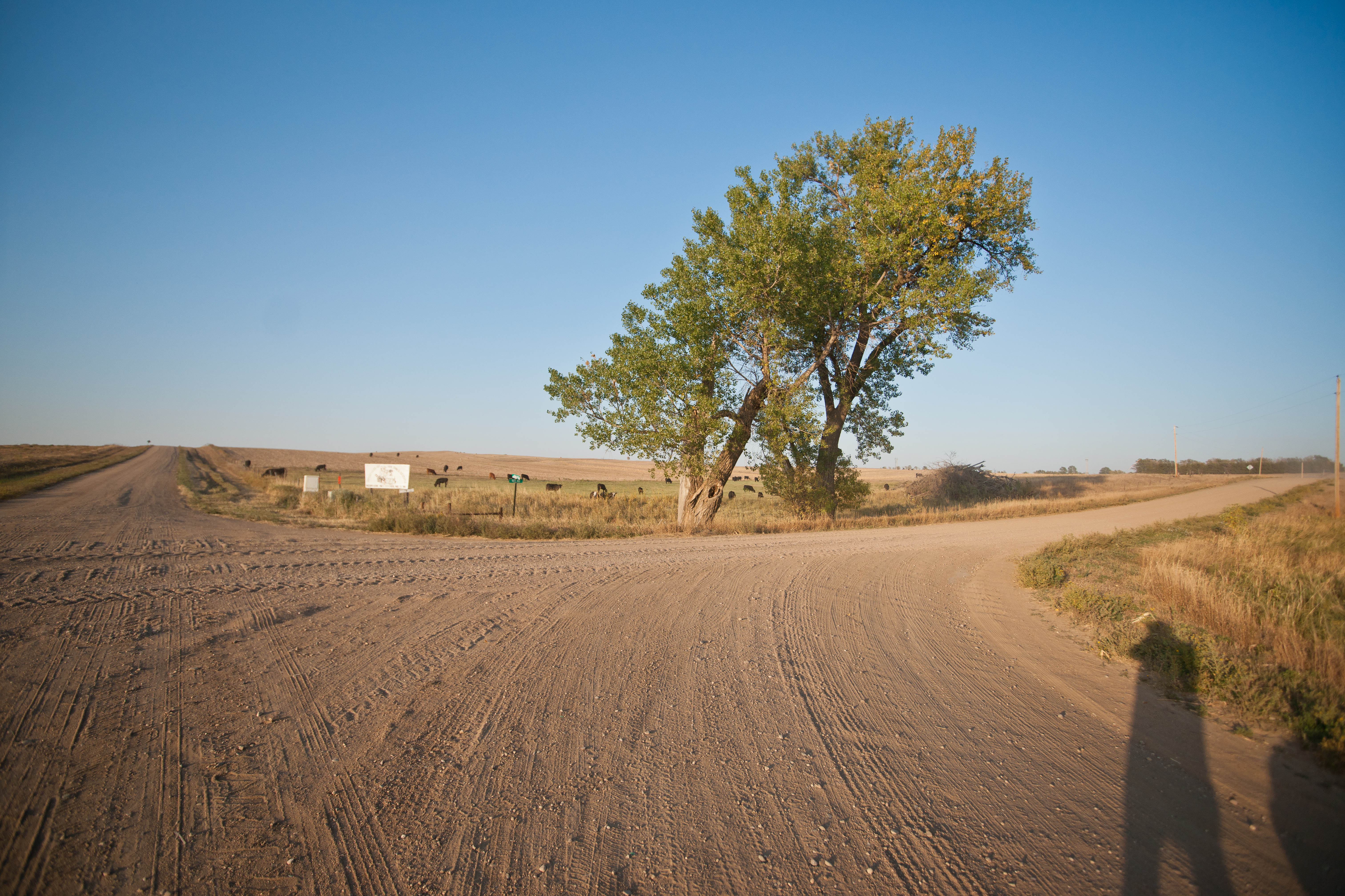
Related Photos:

View below Ft. Randall Dam
Panorama view below Ft. Randall Dam
Panorama view from Ft. Randall Dam of Lake Francis Case
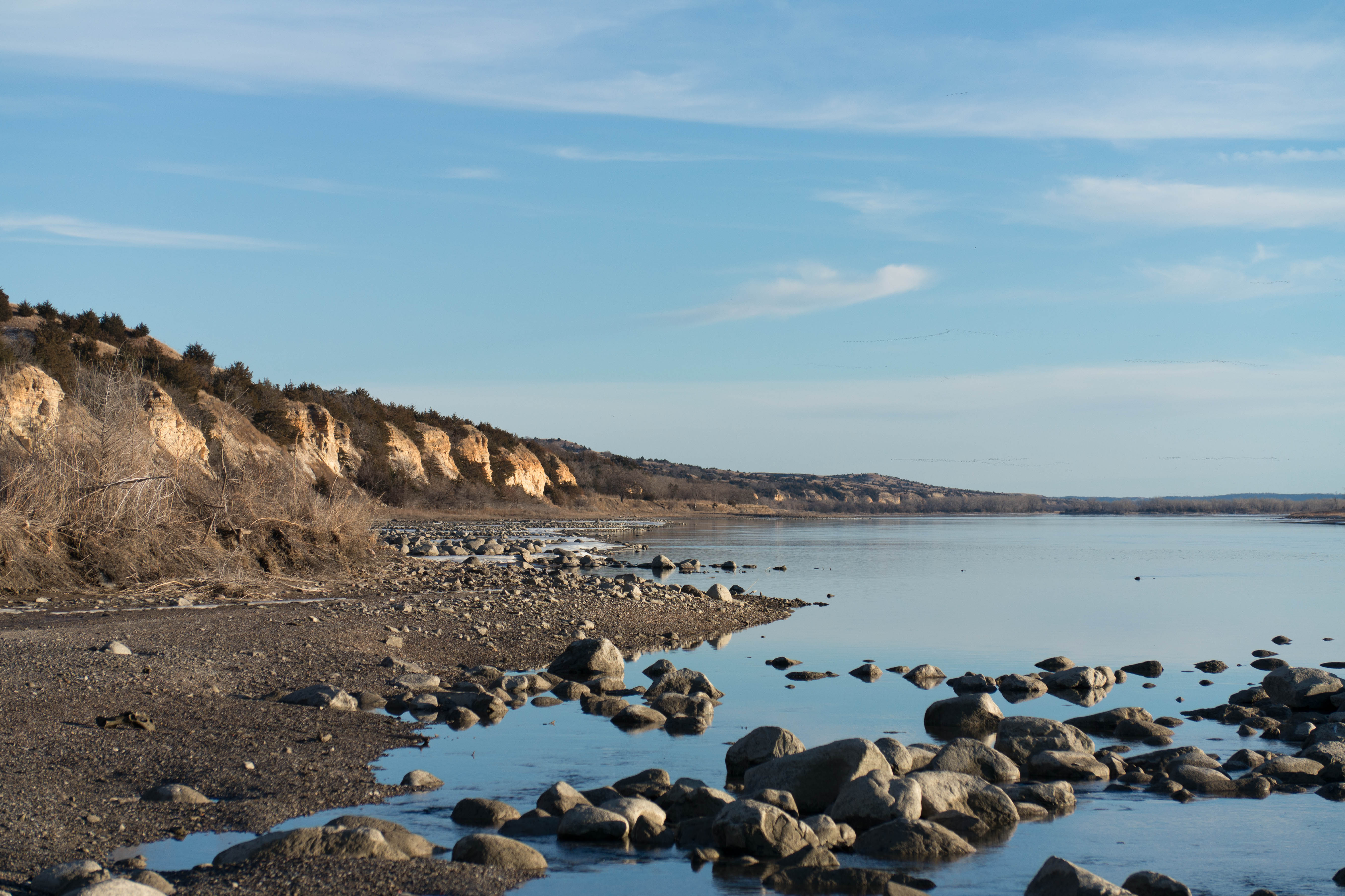
View across the Missouri
View across the Missouri
View from the top
150724-01 (2015-07-24) - 0006
150724-01 (2015-07-24) - 0008
Gross, Nebraska
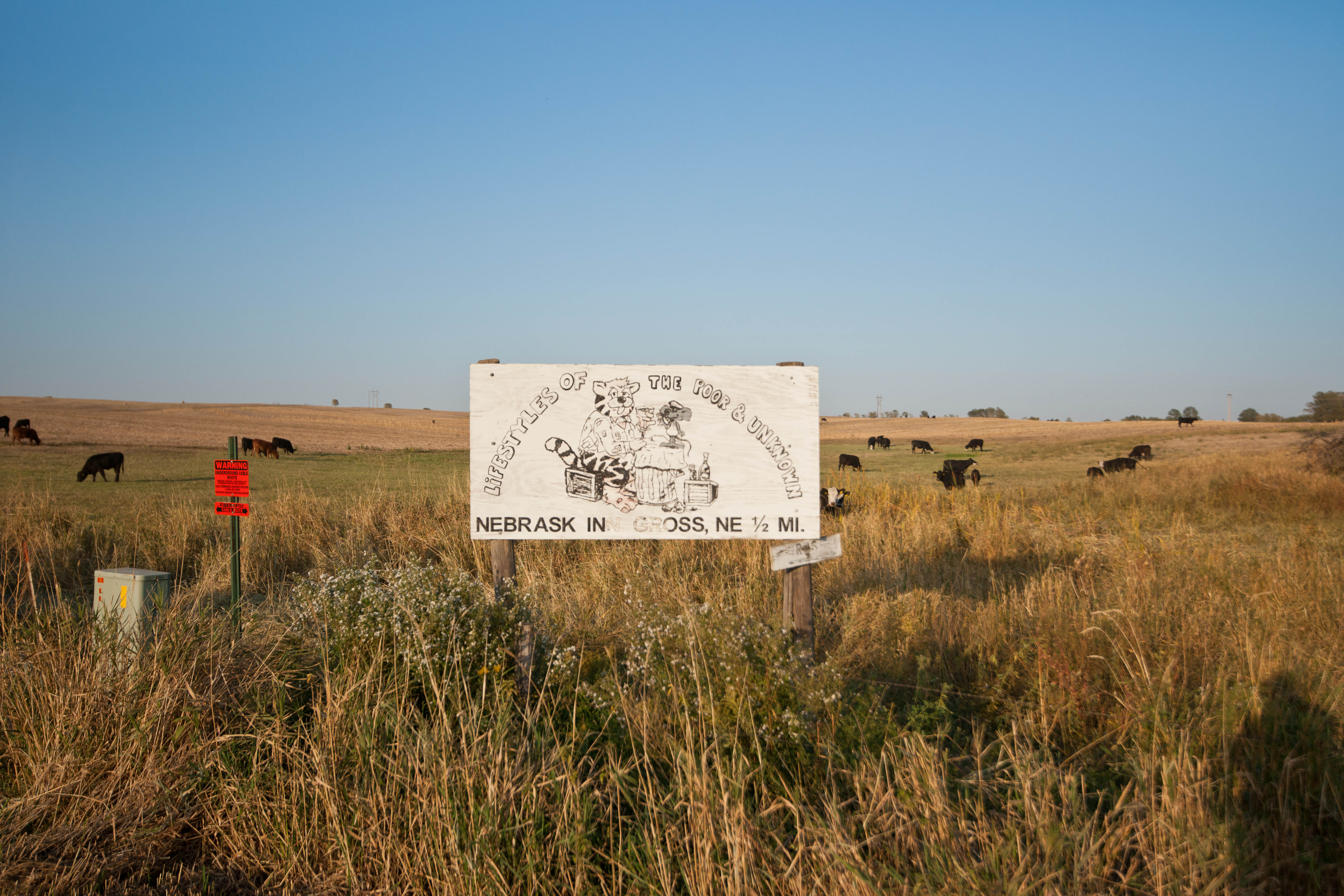
Gross, Nebraska

Gross, Nebraska
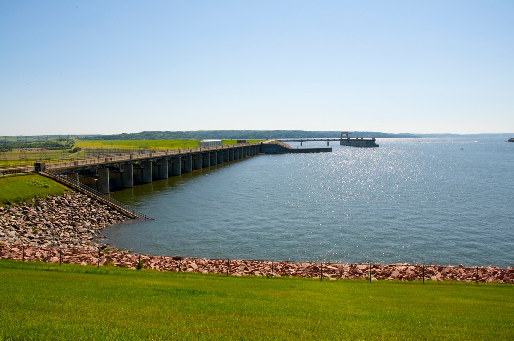
Fort Randall Dam
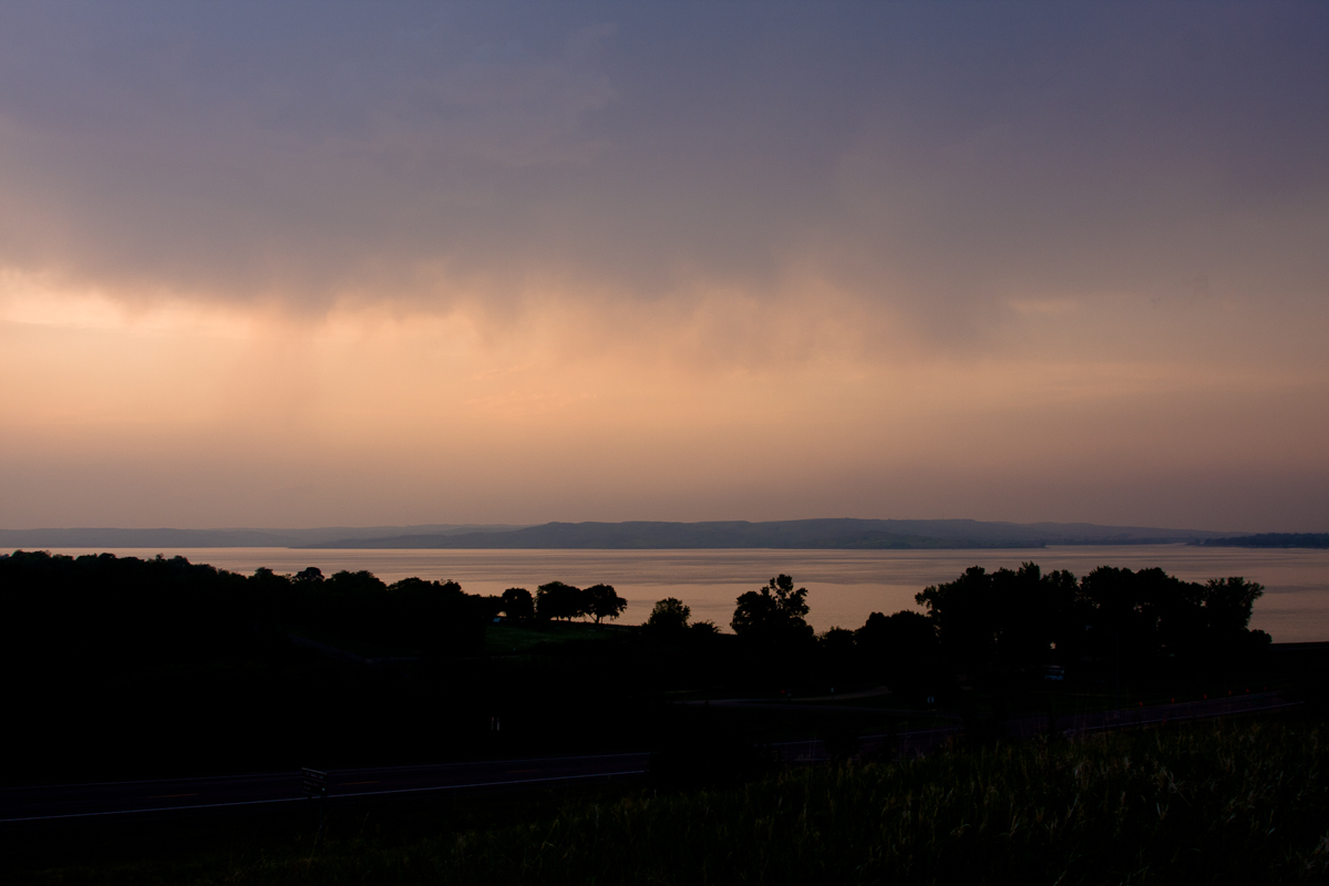
Missouri River at Sunset
Missouri River below Ft. Randall Dam
Sunset on Lake Francis Case
img_2193.jpg
150724-01 (2015-07-24) - 0013
150724-01 (2015-07-25) - 0023

150724-01 (2015-07-25) - 0022

150724-01 (2015-07-25) - 0026
Topographic Map of Wahehe Township, SD, USA
Find elevation by address:

Places in Wahehe Township, SD, USA:
Places near Wahehe Township, SD, USA:
Co Rd 2, Wagner, SD, USA
Charles Mix County
Wagner
52001 891 Rd
Southwest Bon Homme
Park Ave, Niobrara, NE, USA
Douglas County
52450 Ne-12
Tripp
301 S Main St
301 S Main St
301 S Main St
305 3rd Ave
Verdigre
Springfield
Bon Homme County
Verdigre
Page
40407 271st St
Verdigris
Recent Searches:
- Elevation of Corso Fratelli Cairoli, 35, Macerata MC, Italy
- Elevation of Tallevast Rd, Sarasota, FL, USA
- Elevation of 4th St E, Sonoma, CA, USA
- Elevation of Black Hollow Rd, Pennsdale, PA, USA
- Elevation of Oakland Ave, Williamsport, PA, USA
- Elevation of Pedrógão Grande, Portugal
- Elevation of Klee Dr, Martinsburg, WV, USA
- Elevation of Via Roma, Pieranica CR, Italy
- Elevation of Tavkvetili Mountain, Georgia
- Elevation of Hartfords Bluff Cir, Mt Pleasant, SC, USA