Elevation of Wadi Kh, Maharashtra, India
Location: India > Maharashtra > Ratnagiri >
Longitude: 73.3443425
Latitude: 16.711169
Elevation: 26m / 85feet
Barometric Pressure: 101KPa
Elevation Map:
Satellite Map:
Related Photos:

Ganpati 2013

Ganpati 2013
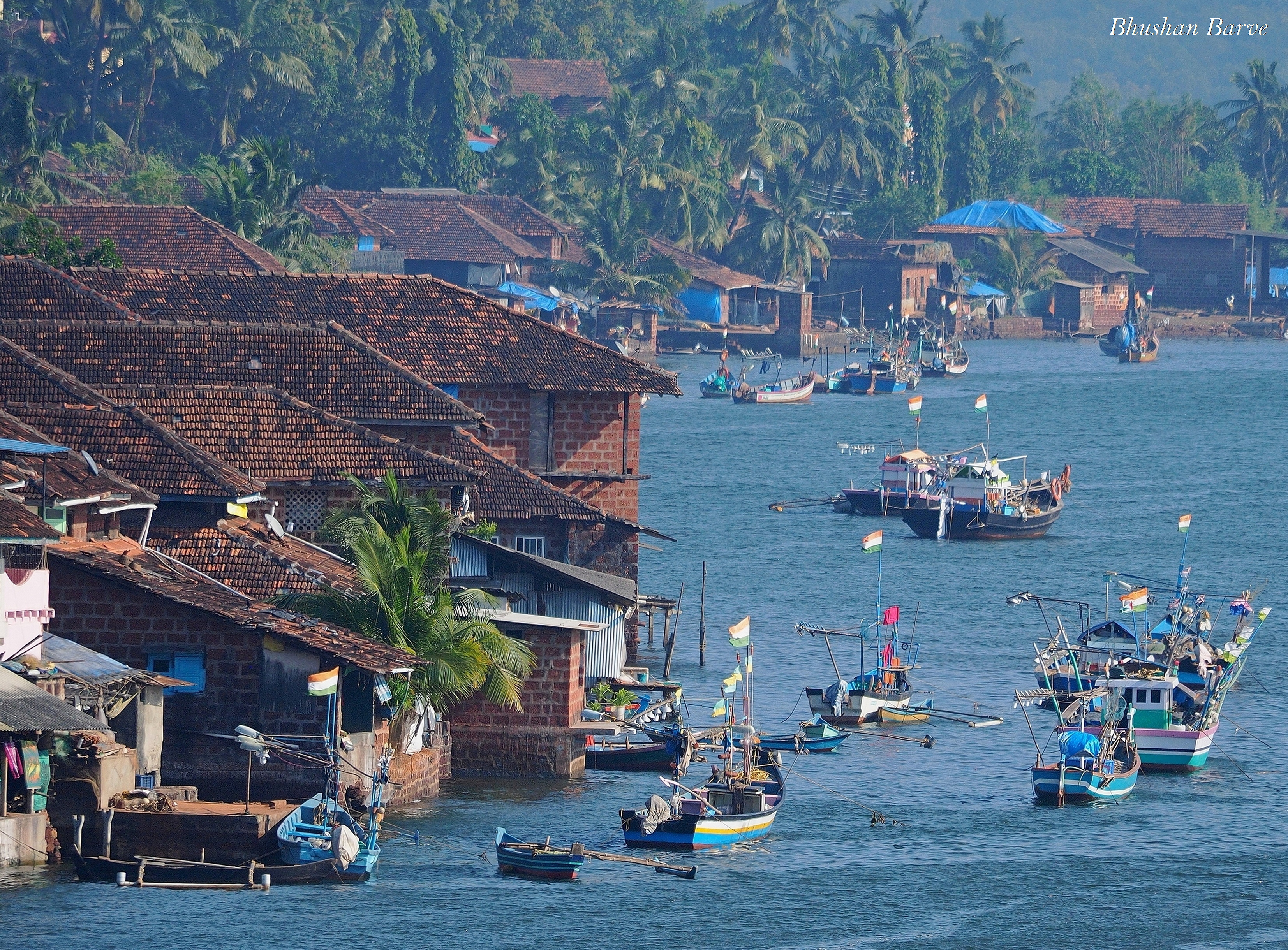
Purnagad - A coastal village in Konkan, India

20141118-0763

Ganpati 2013

On the road to Vijayadurg, Maharashtra
Topographic Map of Wadi Kh, Maharashtra, India
Find elevation by address:

Places near Wadi Kh, Maharashtra, India:
Kondsar Kh.
Kondsar Bk.
Beni Bk.
Vijaydurg Fort
Shivane Khurd
Vijaydurg
Shivane Bk.
Mandavkarwadi
Machal Hill Station
Lanja
Pangare Budruk
Veravli Kh.
Veravli Bk.
Mosam
Tamhane
Math Kh.
Gavadi
Sindhudurg
Pangari Kh.
Shembavane
Recent Searches:
- Elevation of W Prive Cir, Delray Beach, FL, USA
- Elevation of S Layton Cir W, Layton, UT, USA
- Elevation of F36W+3M, Mussoorie, Uttarakhand, India
- Elevation of Fairland Ave, Fairhope, AL, USA
- Elevation of Sunset Dr, Richmond, VA, USA
- Elevation of Grodna District, Hrodna Region, Belarus
- Elevation of Hrodna, Hrodna Region, Belarus
- Elevation of Sandia Derby Estates, Tijeras, NM, USA
- Elevation of 23 Sunrise View Ct, Tijeras, NM, USA
- Elevation of Lytham Ln, Katy, TX, USA