Elevation map of Wadi Dar Al Zaraey, Ras Gharib, Red Sea Governorate, Egypt
Location: Egypt > Red Sea Governorate > Ras Gharib >
Longitude: 33.3002745
Latitude: 28.0267975
Elevation: 55m / 180feet
Barometric Pressure: 101KPa
Elevation Map:
Satellite Map:
Related Photos:

Base 1
Way down we go 2
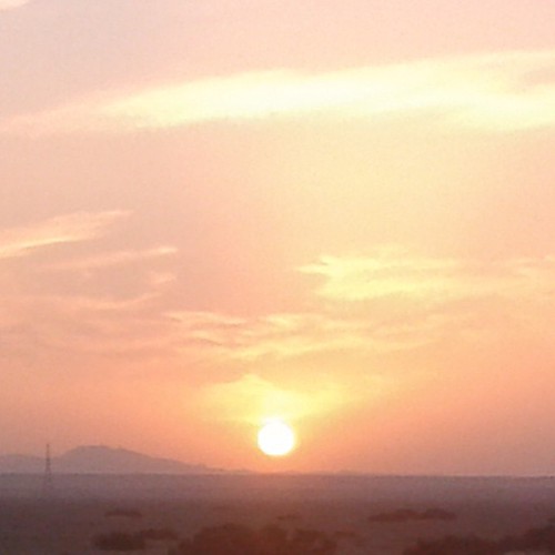
Meget Smuk Solnedgang #Solnedgang #Sol#Bjergene #Red_Sea #Redsea_Mountains

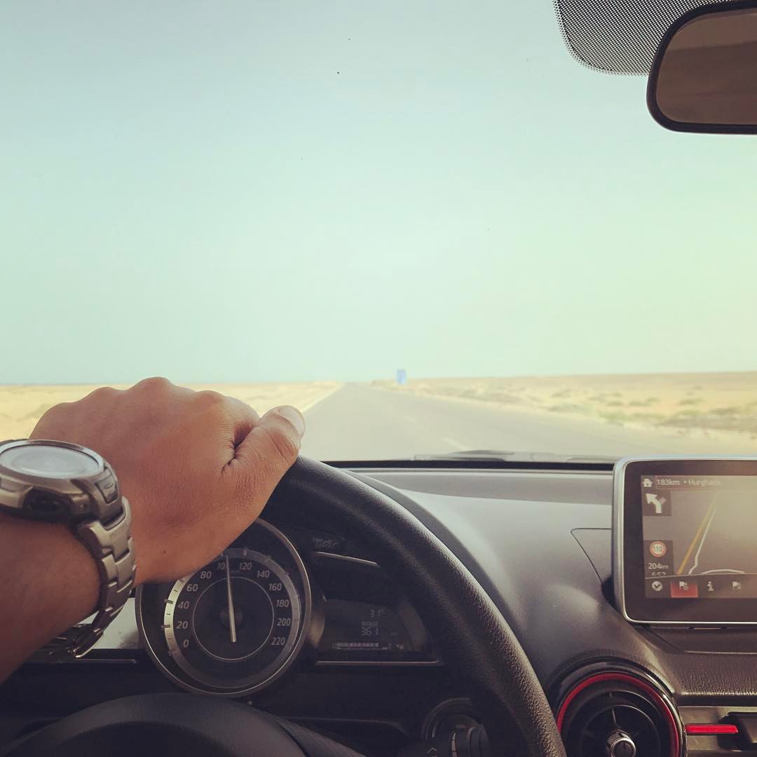
Roadside north of el Gouna Egypt

me 1982 egypt
Topographic Map of Wadi Dar Al Zaraey, Ras Gharib, Red Sea Governorate, Egypt
Find elevation by address:

Places in Wadi Dar Al Zaraey, Ras Gharib, Red Sea Governorate, Egypt:
Places near Wadi Dar Al Zaraey, Ras Gharib, Red Sea Governorate, Egypt:
Recent Searches:
- Elevation of Crocker Dr, Vacaville, CA, USA
- Elevation of Pu Ngaol Community Meeting Hall, HWHM+3X7, Krong Saen Monourom, Cambodia
- Elevation of Royal Ontario Museum, Queens Park, Toronto, ON M5S 2C6, Canada
- Elevation of Groblershoop, South Africa
- Elevation of Power Generation Enterprises | Industrial Diesel Generators, Oak Ave, Canyon Country, CA, USA
- Elevation of Chesaw Rd, Oroville, WA, USA
- Elevation of N, Mt Pleasant, UT, USA
- Elevation of 6 Rue Jules Ferry, Beausoleil, France
- Elevation of Sattva Horizon, 4JC6+G9P, Vinayak Nagar, Kattigenahalli, Bengaluru, Karnataka, India
- Elevation of Great Brook Sports, Gold Star Hwy, Groton, CT, USA