Elevation of W Washington St, Bolivar, WV, USA
Location: United States > West Virginia > Jefferson County > Harpers Ferry > Bolivar >
Longitude: -77.749895
Latitude: 39.3254121
Elevation: 153m / 502feet
Barometric Pressure: 99KPa
Elevation Map:
Satellite Map:
Related Photos:
A "Left Field" Viewpoint

Sunset Cat

View From The Ice
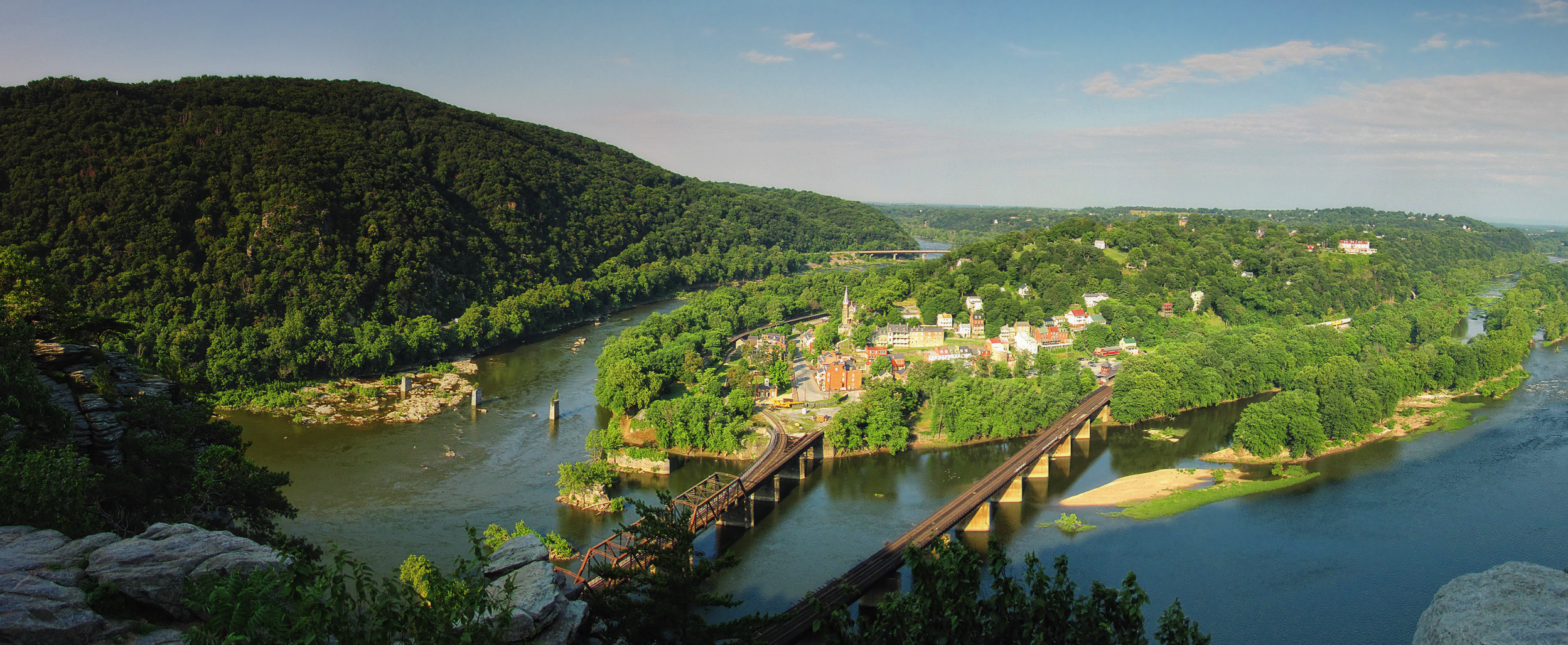
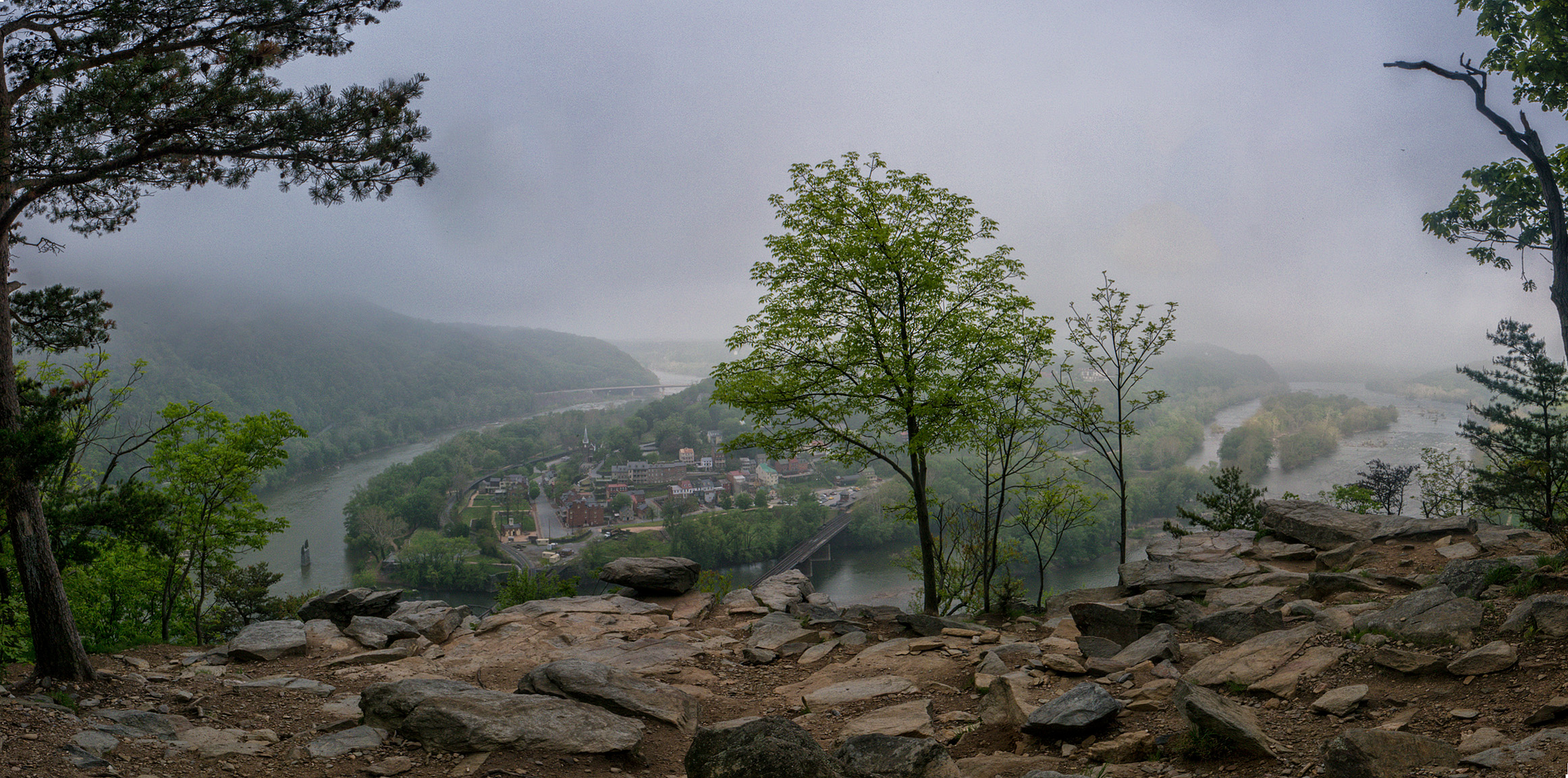
Harpers Ferry Panorama From Maryland Heights

Harpers Ferry Hilltop View
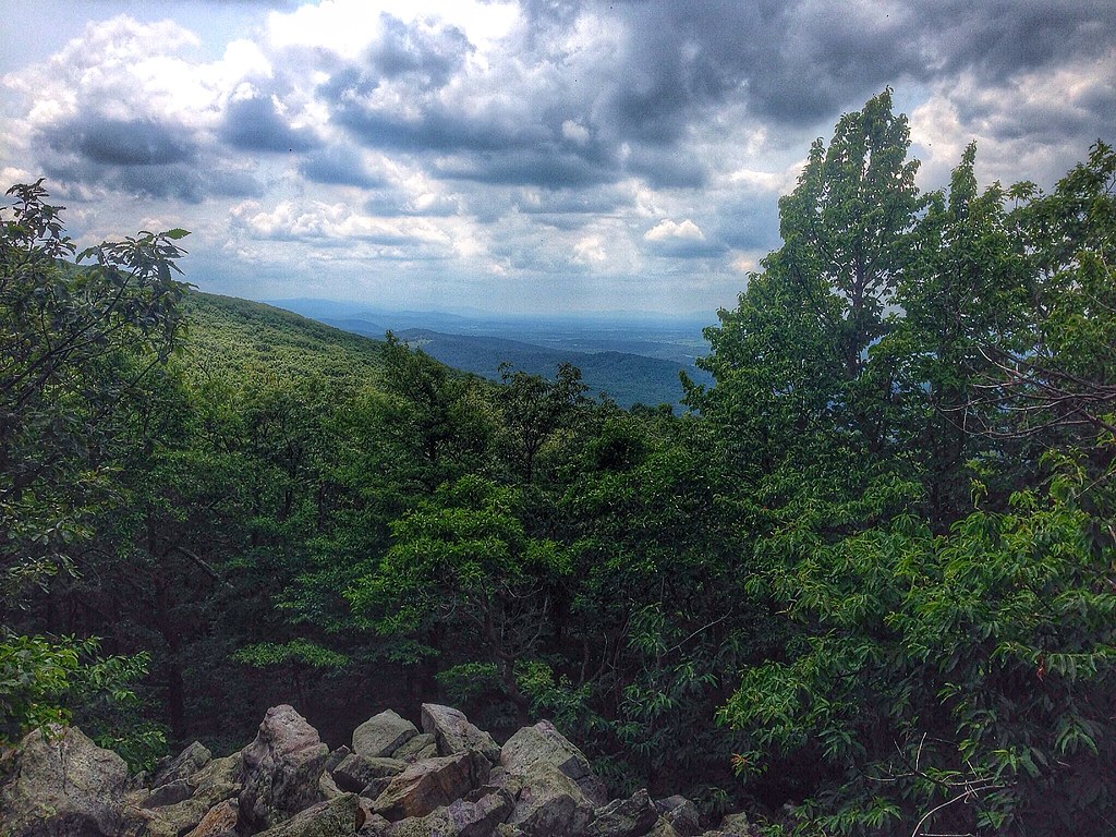
buzzard rocks

View of Potomac and Shenandoah Rivers from Jefferson Rock at Harpers Ferry National Historical Park

Photographing Harpers Ferry at Dawn

Puddle Vision

Jefferson Rock

Harpers Ferry Tilt-Shift HDR
0189 Shepherdstown, WV
0016 Bolivar Heights, Bolivar, WV
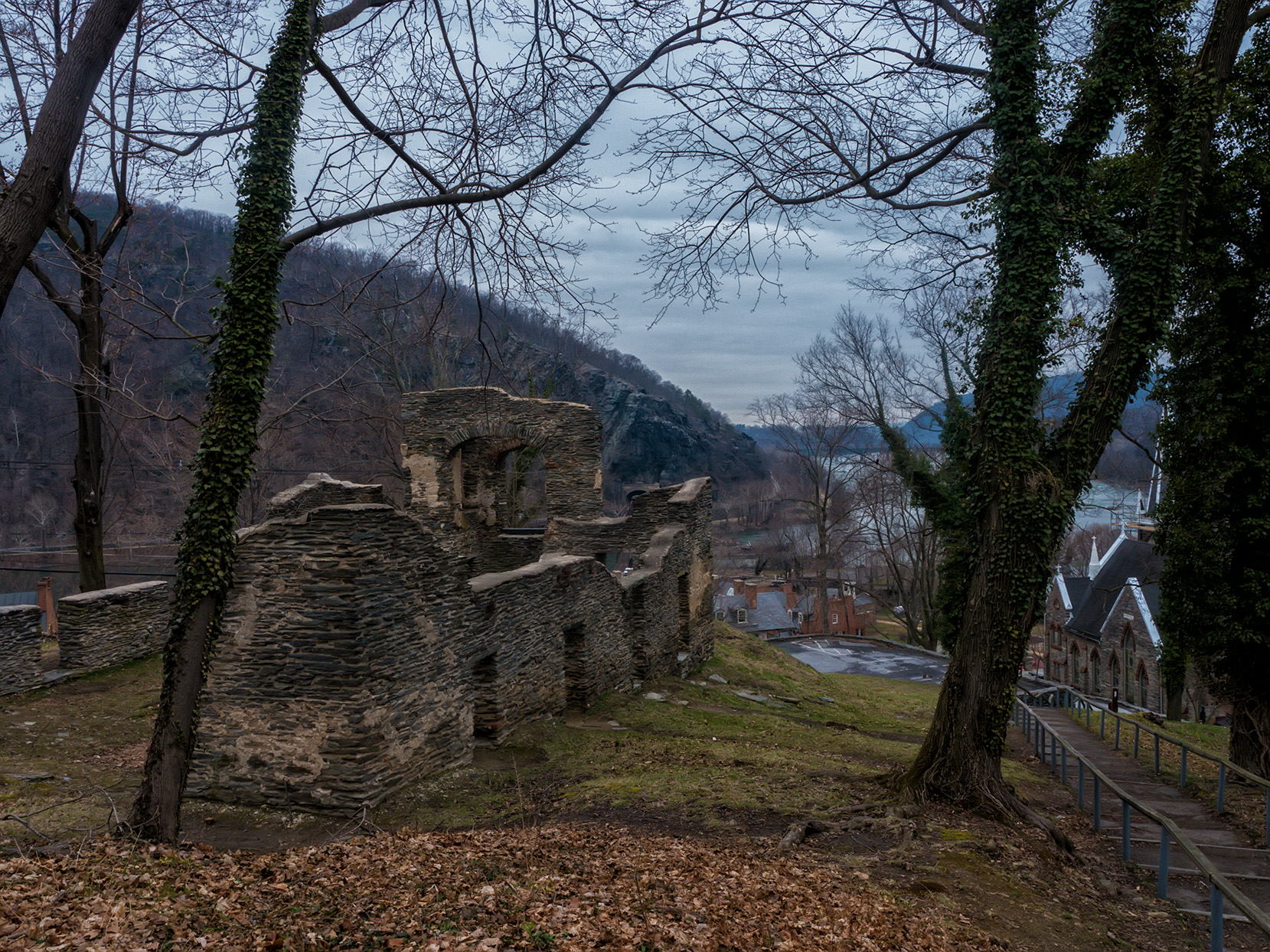
Looking Down On Harpers Ferry
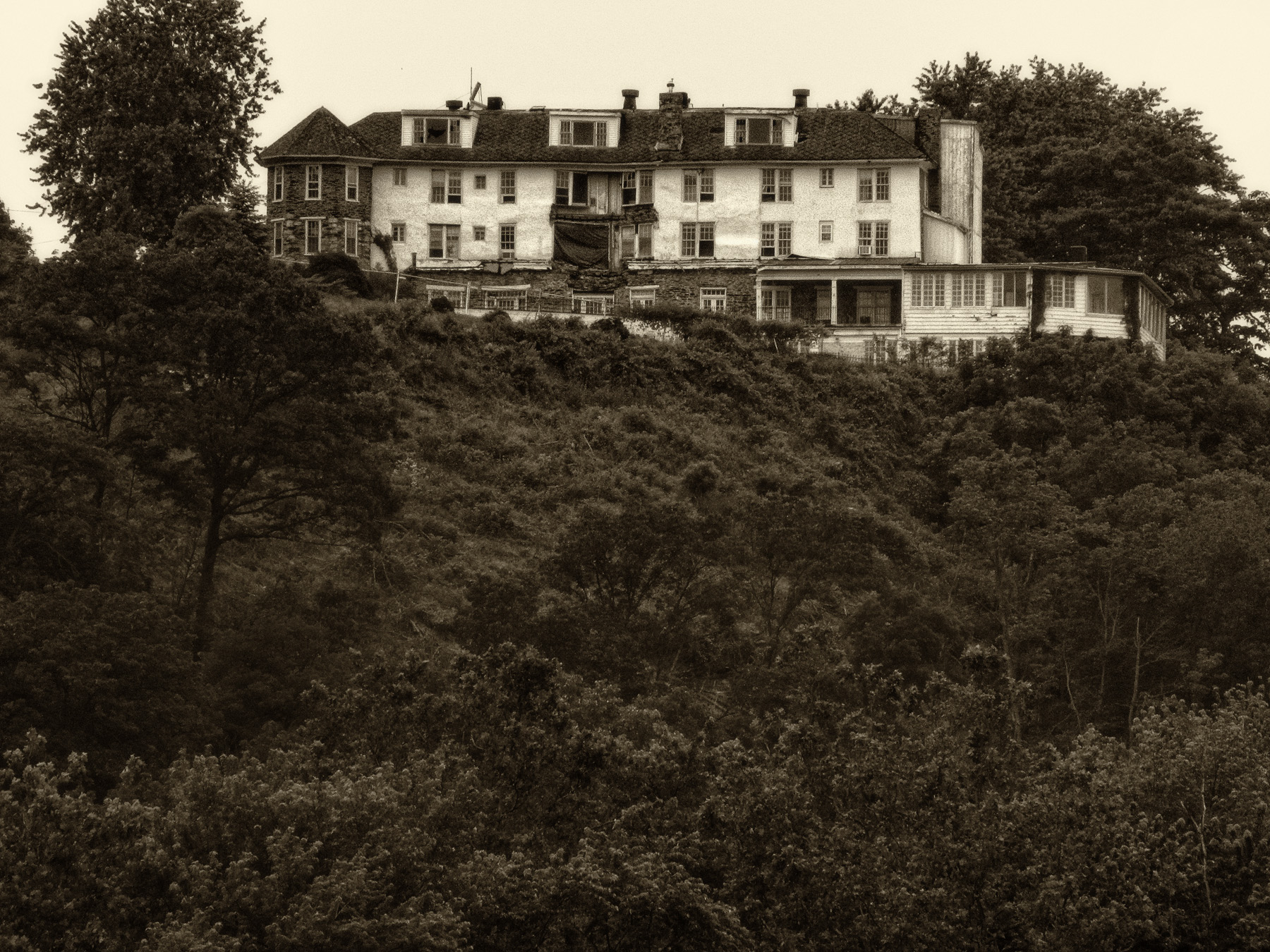
Hilltop House Hotel, Harpers Ferry, WV
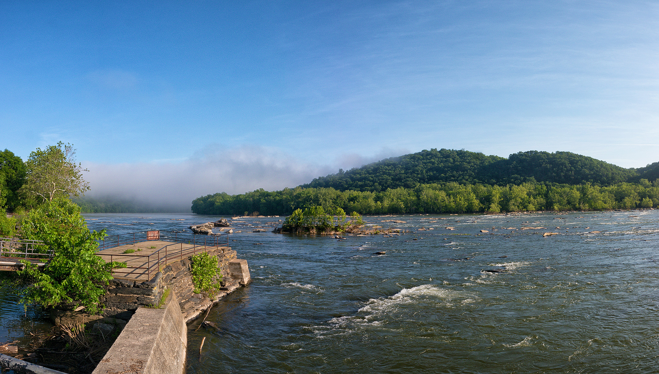
Potomac Panorama
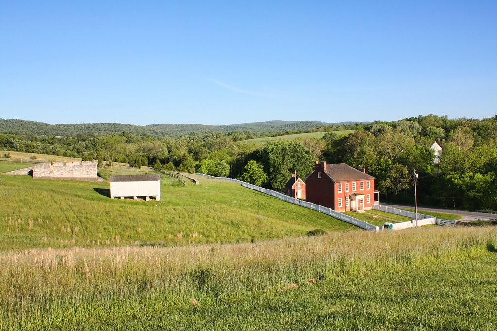
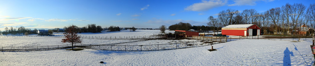
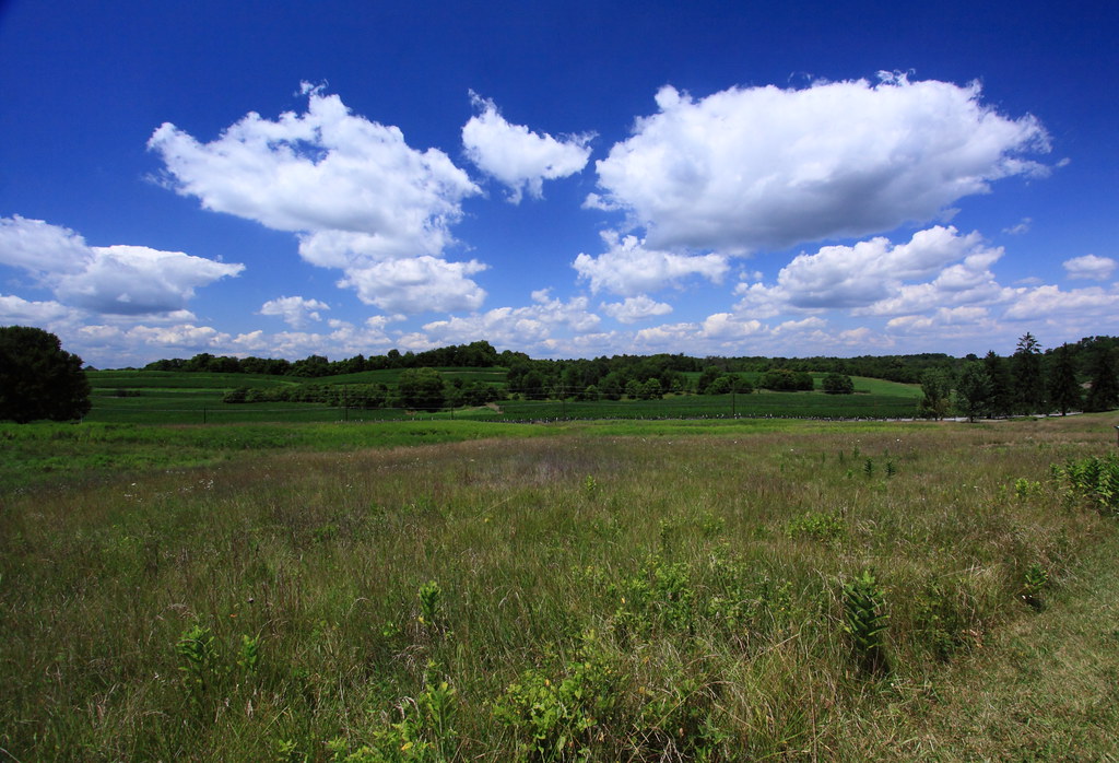
Sherrick Farm
Harpers Ferry Overlook Panorama

fallin' (for Harpers Ferry)
Upstream view of Town Run, Shepherdstown, West Virginia
Changing Through Time · by Harper's Ferry, West Virginia | 1/8/14 | #Travel #Adventure #Park #Winter #Trail #View #sky #clouds #Mountains #town #Harpersferry #river #valley #shadow #sunset #sunlight #horizon #_nature_features #nature #landscape #seasonsan
Harpers Ferry as seen from Maryland Heights

Grand Summer Evening
Potomac Pumpkins

Hoof & Paw Sunset
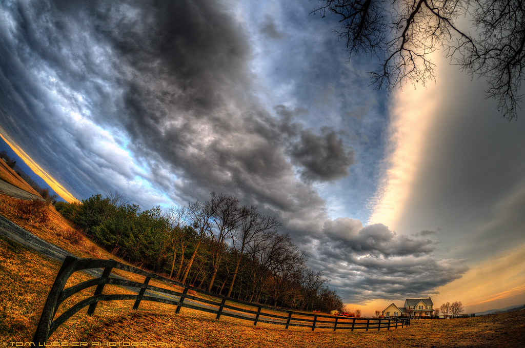
Clearing Storm
0005 Elk Branch Presbyterian Church, Duffields, WV

Summer Day Ends

Grand Summer Evening II
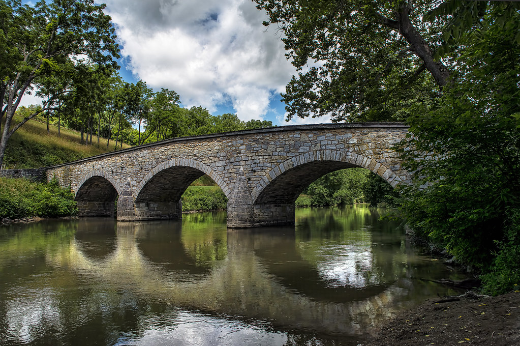
Burnside Bridge

Light Catcher

Lone Tree
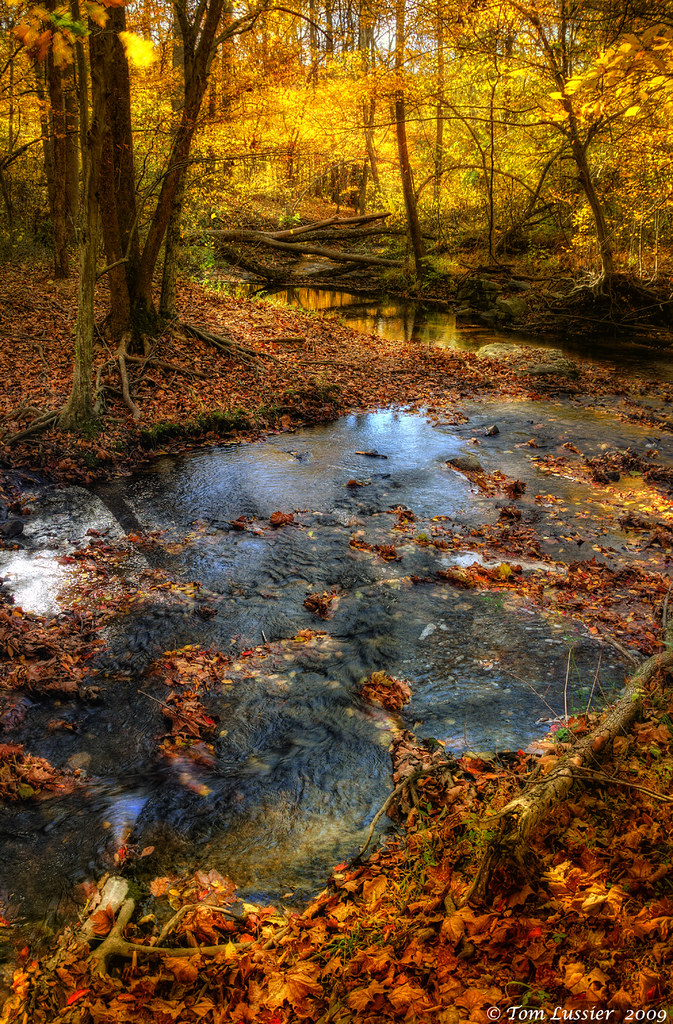
Autumn Creek Pastels
Sweet Summer Dreams
Topographic Map of W Washington St, Bolivar, WV, USA
Find elevation by address:

Places near W Washington St, Bolivar, WV, USA:
Bolivar
25 Union St
30 Elm St
Harpers Ferry
Harpers Ferry / Civil War Battlefields Koa
Harpers Ferry Train Station
Clarion Inn Harpers Ferry-charles Town
140 Potomac St
John Brown's Fort
152 Woodcutters Ln
Chestnut Hill Rd, Harpers Ferry, WV, USA
260 Potomac Terrace Dr
176 Rock Ln
440 Koonce Rd
C.w. Shipley Elementary School
294 Frisky Ct
Chestnut Hill Road
Harpers Ferry Rd, Purcellville, VA, USA
82 Great Oak Ln
49 Powder River Ct
Recent Searches:
- Elevation of Ilungu, Tanzania
- Elevation of Yellow Springs Road, Yellow Springs Rd, Chester Springs, PA, USA
- Elevation of Rēzekne Municipality, Latvia
- Elevation of Plikpūrmaļi, Vērēmi Parish, Rēzekne Municipality, LV-, Latvia
- Elevation of 2 Henschke Ct, Caboolture QLD, Australia
- Elevation of Redondo Ave, Long Beach, CA, USA
- Elevation of Sadovaya Ulitsa, 20, Rezh, Sverdlovskaya oblast', Russia
- Elevation of Ulitsa Kalinina, 79, Rezh, Sverdlovskaya oblast', Russia
- Elevation of 72-31 Metropolitan Ave, Middle Village, NY, USA
- Elevation of 76 Metropolitan Ave, Brooklyn, NY, USA