Elevation of W Thunder Rd, Vail, AZ, USA

Location: United States > Arizona > Pima County > Vail >

Longitude: -110.81376

Latitude: 31.973067

Elevation: 932m / 3058feet

Barometric Pressure: 91KPa

Elevation Map:

elevation map of W Thunder Rd, Vail, AZ, USA

Satellite Map:

Satellite map of W Thunder Rd, Vail, AZ, USA

Related Photos:

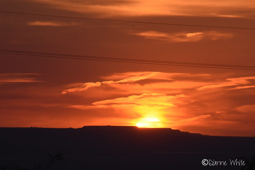
©diannewhite nikond7200 sahuarita arizona sonorandesert sunset
Sonoran Sunset
old travel arizona southwest color colour detail art history halloween monument cemetery grave graveyard grass animal animals angel clouds rural america photoshop garden dark landscape dead outdoors death countryside ancient memorial peace cross desert image symbol antique sony rip headstone cemetary country hill religion tomb tombstone decoration ground az scene eerie romance funeral burial rest gloom decor mourn gravesite oldwest cs4 abigfave dslra350 dslr350 sonydslra350 lgeof
Last Respects
arizona usa az helvetia greenvalley canonef24105mmf4lisusm gunsightpass canoneos1dmkiii goldstaraward
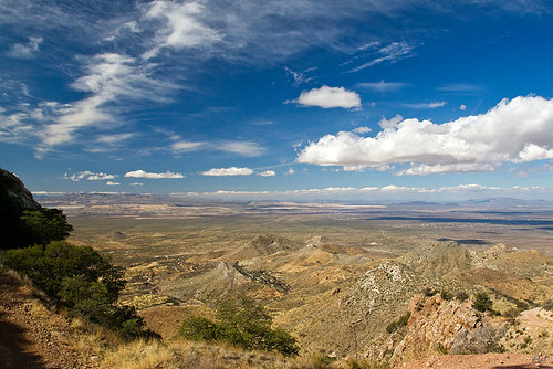
View from Gunsight Pass
arizona vail hoa unit2 coronadetucson sycamorevista johnmichaelpoore
Sycamore Vista Unit 2 Lot 131 Cleanup
©diannewhite nikond7200 sahuarita arizona sonorandesert sunset
117/3 Bold color - Sonoran Sunset
arizona az helvetia santaritamountains gunsightpass arizonapassages
Gunsight Pass from Helvetia
arizona ruins az adobe ghosttown helvetia santaritamountains arizonapassages
Helvetia Adobe
arizona usa geotagged unitedstates vail mountainview azt arizonatrail geo:lat=3200516463 geo:lon=11064805268
Arizona Trail Passage #7
arizona horse white animal tucson doubletake equestrian
horse sun details [IMG_0594]
sunset arizona horse white animal tucson explore doubletake equestrian
white horse sunset [IMG_0592]
sunset arizona horse white animal clouds landscape tucson doubletake equestrian
sun burning through the clouds [IMG_0606]
airplanewindow airplanewindowview blueskies capturenx2edited colorefexpro desertlandscape flighttustophx intermountainwest landscape lookingoutsideplanewindow lookingsouth lookingoutairplanewindow lookingouttheairplanewindow mountfagan mountains mountainsindistance mountainsoffindistance nature nikond800e piñalenoarea planewindow project365 santaritamountains sonorandesert southeastarizonaranges southwestbasinsandranges sunny tucson arizona unitedstates
Mount Fagan and Peaks of the Santa Rita Mountains Far off in the Distance
arizona greenvalleysahuarita moon pinkmoon supermoon
2020 Super Pink Moon (4 of 4)
arizona greenvalleysahuarita moon pinkmoon supermoon
2020 Super Pink Moon (1 of 4)
arizona greenvalleysahuarita moon pinkmoon supermoon
2020 Super Pink Moon (3 of 4)
arizona az developer vail theft useless fraud hoa bankrupt crooks subdivision extortion kickback racketeering dues vacantland homeownersassociation unconscionable sycamorevista againstpublicpolicy hoadoesntdoanything
What is this line & the dumpsters doing here?
arizona coppermine subdivision rinconmountain santaritamountains homeownersassociation pimacounty newtucson sycamorevista rosemontmine mountwrightston savethesenicsantaritas augustaresources
Sycamore Vista Subdivision // Santa Rita Mountains
arizona coppermine subdivision unit2 rinconmountain santaritamountains homeownersassociation pimacounty newtucson sycamorevista rosemontmine mountwrightston savethesenicsantaritas augustaresources
Sycamore Vista Subdivision Unit 2
Lot 189 panorama from rear of lot
Lot 189 (Right) & 188
Lot 131
up union pacific vail tucson arizona usa güterzug containerzug intermodal train ge ac4400cw
UP 6790 Vail, Arizona
amtrak sunsetlimited amtraksunsetlimited amtrak199 ge generalelectric desert blooming ocotillocactus ocotillo cactus vail arizona vailarizona up unionpacific gep42 p42 amt199
Sunset through the Ocotillos
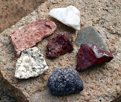
rock stone mineral randomfind crushedrock backyard landscapingrock
Random Collection
square squareformat iphoneography instagramapp uploaded:by=instagram
#sunsets #sunrises #arizona #fox10phoenix #ArizonaDesert #phoenix John Osborn myebay2016.com Have a wonderful day :-) everyone check out my store earn rewards
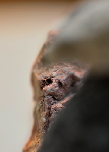
rock stone mineral randomfind crushedrock backyard macro landscapingrock
Looking At You
hoa subdivision santaritamountains sycamorevista savethescenicsantaritas santaritagolfcourse santaritagolfclub thechallengeatsantaritagolfcourse newtucsonunit4
Golf Course Lot / (Looking SW)
Panorama from Lot 189
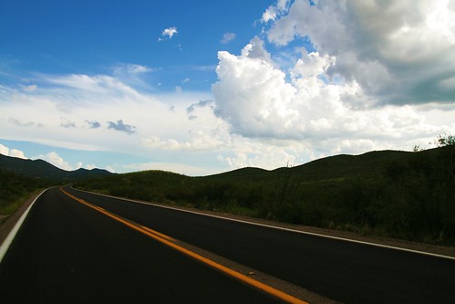
road two arizona sky mountains green yellow clouds big highway state curves stripe route lane asphalt 83 picnik cliche vibrance sonoita
The Road to Wilcox
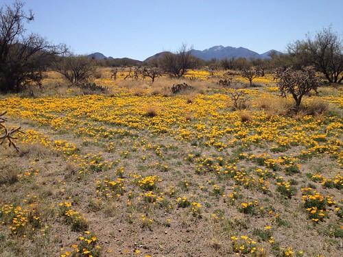
usa rangelands ranch grasslands ilcrangelandsinitiative ilri prairies mountains forests management landtenure
A wet winter
arizona mine open pit aerial pima copper
Aerial View of Arizona
sunset cactus desert tucson iphoneography
Smokey Sunset # 2
cactus relocated saguaro arizona sonorandesert greenvalletsahuarita
Mi Saguaro
wildlife quail gambelsquail birds eggs sahuarita arizona desert
Quail egg surprise