Elevation of W Tatamagouche Rd, Tatamagouche, NS B0K 1V0, Canada
Location: Canada > Nova Scotia > Colchester County > Colchester, Subd. B >
Longitude: -63.409247
Latitude: 45.716064
Elevation: 55m / 180feet
Barometric Pressure: 101KPa
Elevation Map:
Satellite Map:
Related Photos:

Snail's Pace

Common Green Darner - Nova Scotia
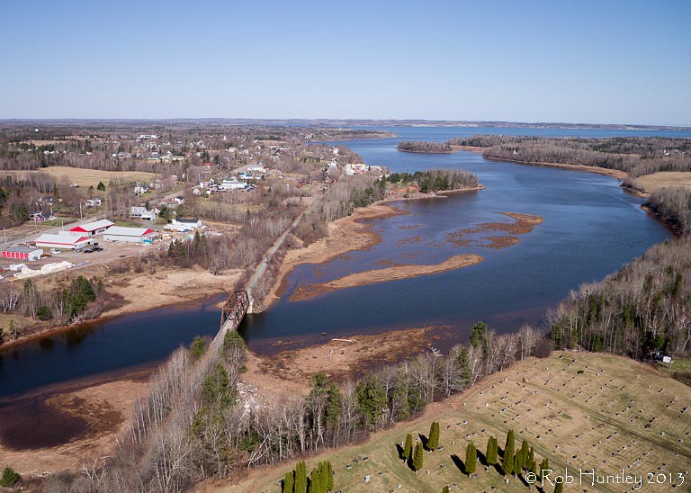
Aerial view of the town of Tatamagouche, Nova Scotia alongside the Waugh River - Kite Aerial Photography (KAP)

Aerial view of the town of Tatamagouche, Nova Scotia alongside the Waugh River - Kite Aerial Photography (KAP)

Aerial view of the Waugh River flowing past Tatamagouche, Nova Scotia - Kite Aerial Photography (KAP)
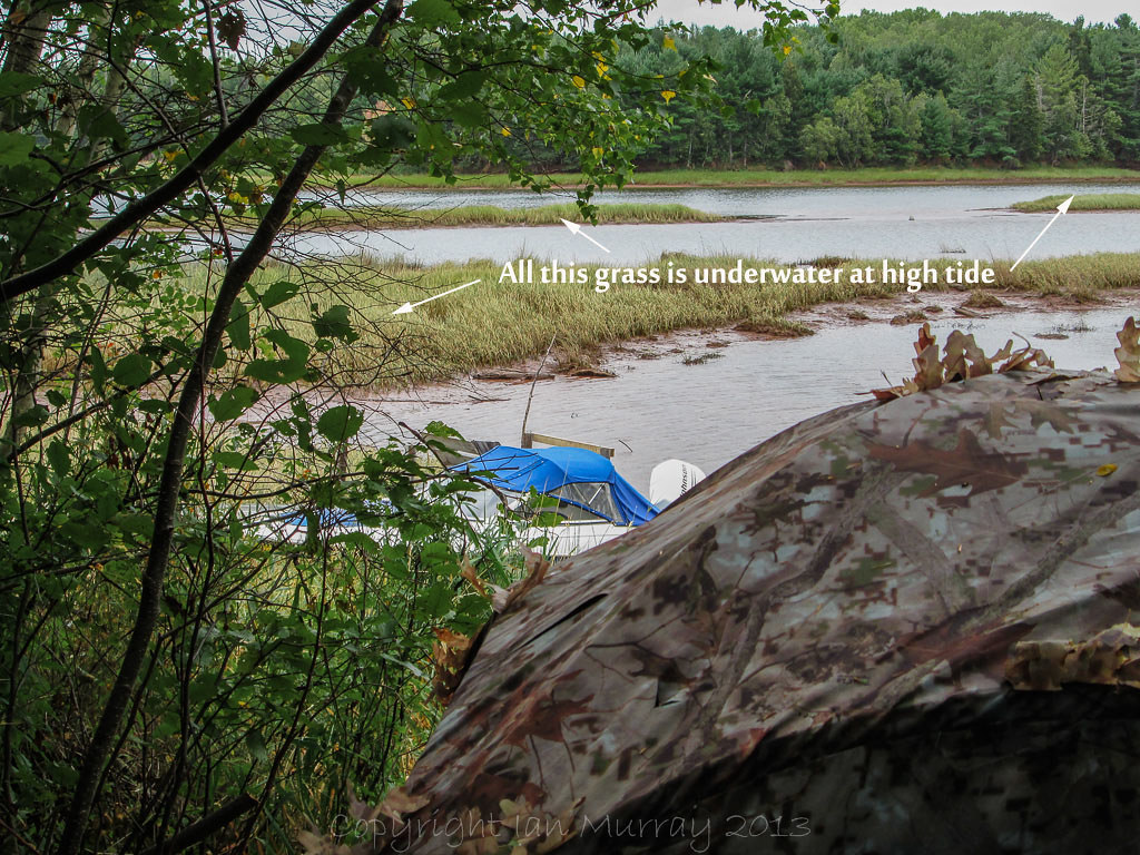
IMG_0050 Blind beside river
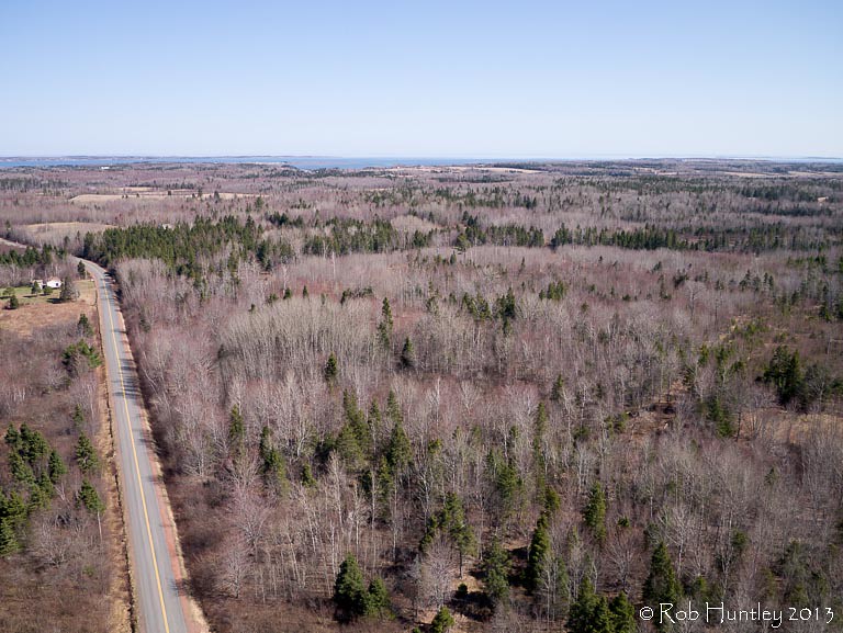
Aerial view of a road through the countryside near Tatamagouche, Nova Scotia - Kite Aerial Photography (KAP)

Atlantic Ocean / view of where we're staying from the Atlantic Ocean. #greasemarks #private beach #maritimerockabillyshakedown #nolittlemarks
Wallace, Nova Scotia
Wallace, Nova Scotia
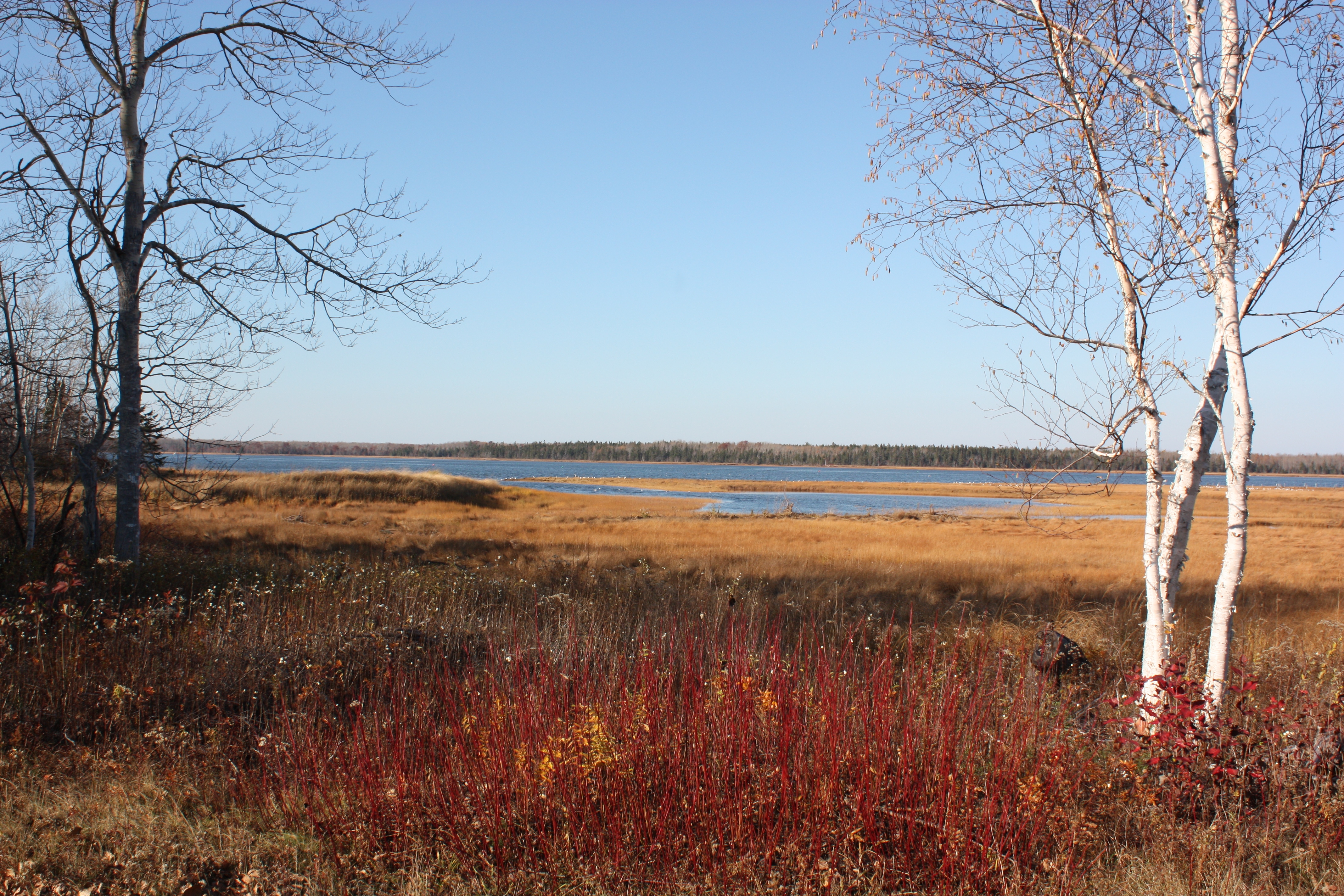
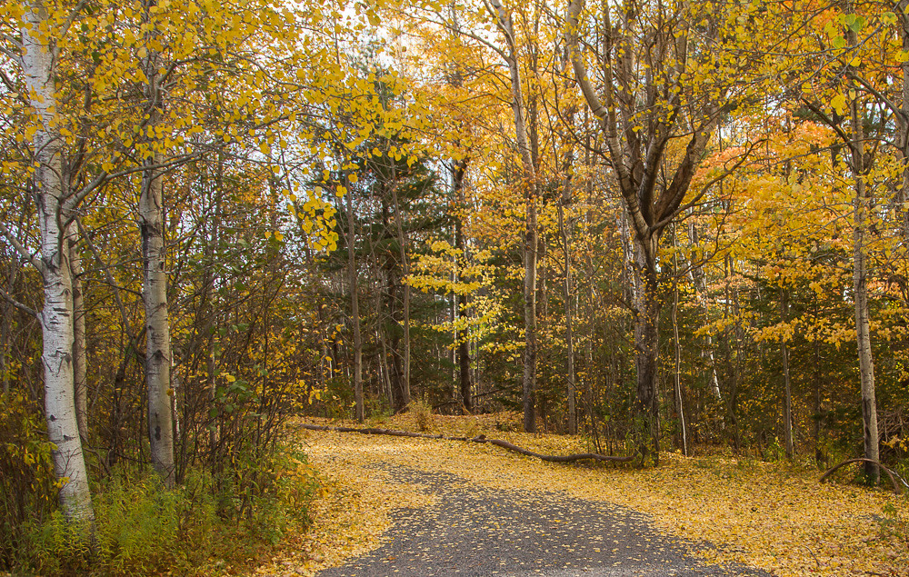
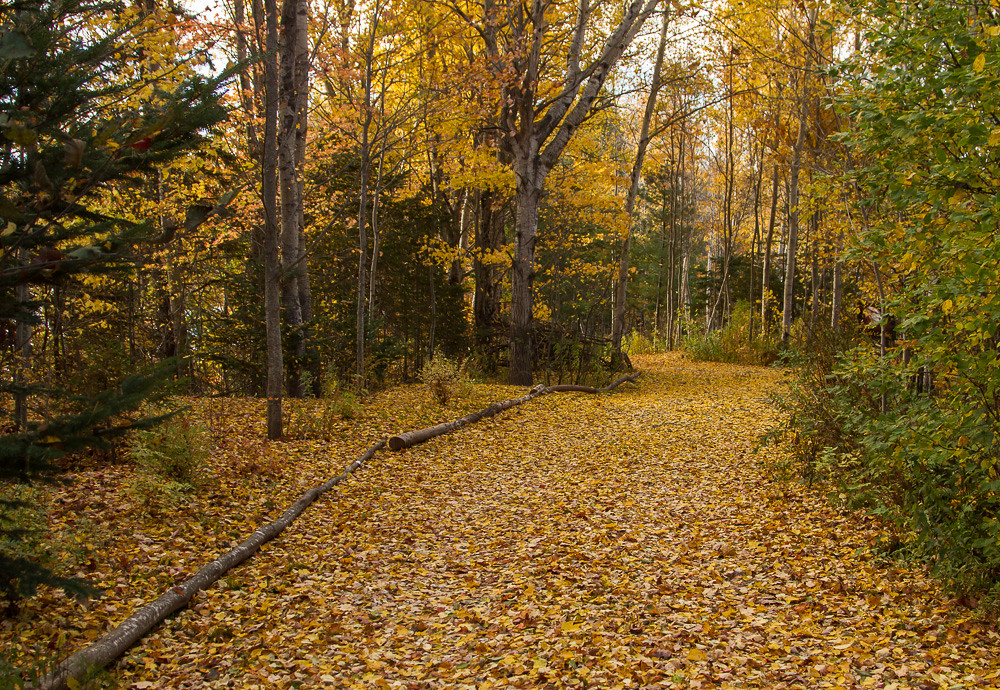
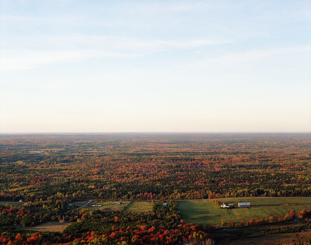
IMGL8038 Autumn on the River
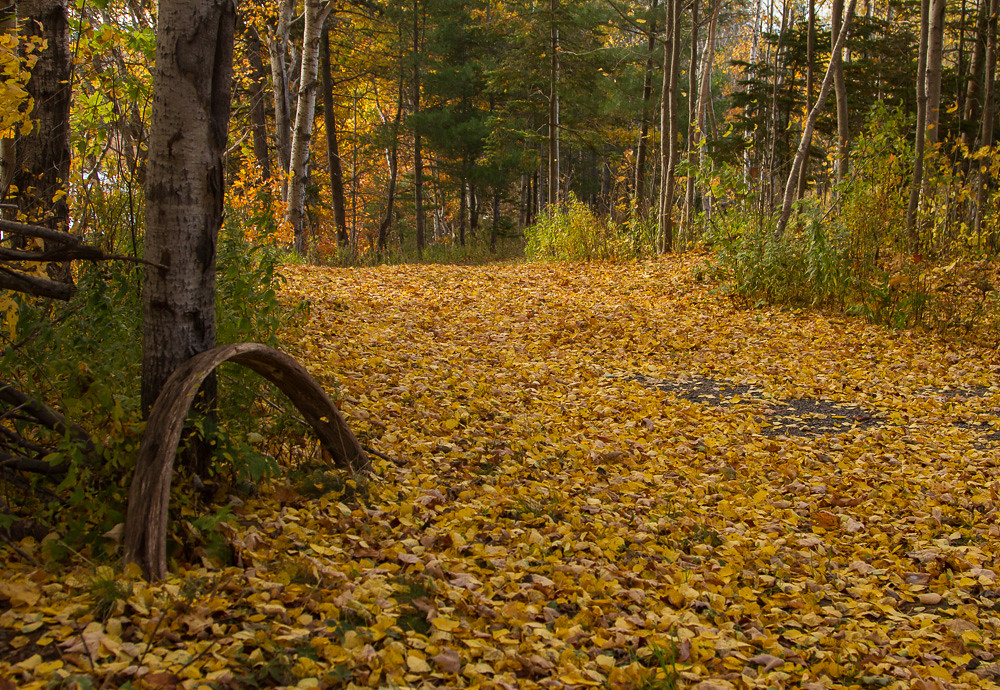
IMG_3879 What a Colourful Autumn!
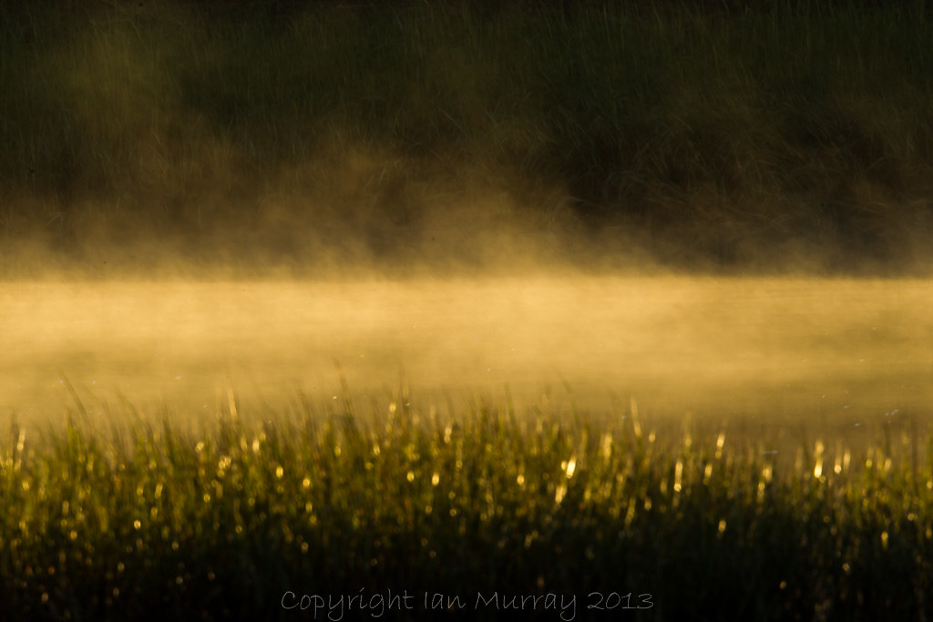
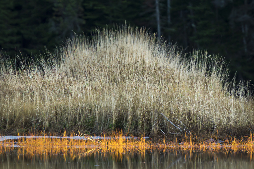
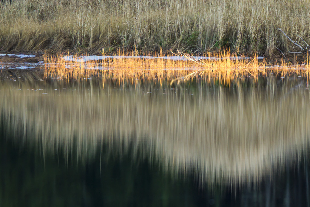
IMGL5258 Misty Morning Wallace River
IMGL8037 Autumn on the River
IMG_3873 What a Colourful Autumn!

IMG_3876 What a Colourful Autumn!
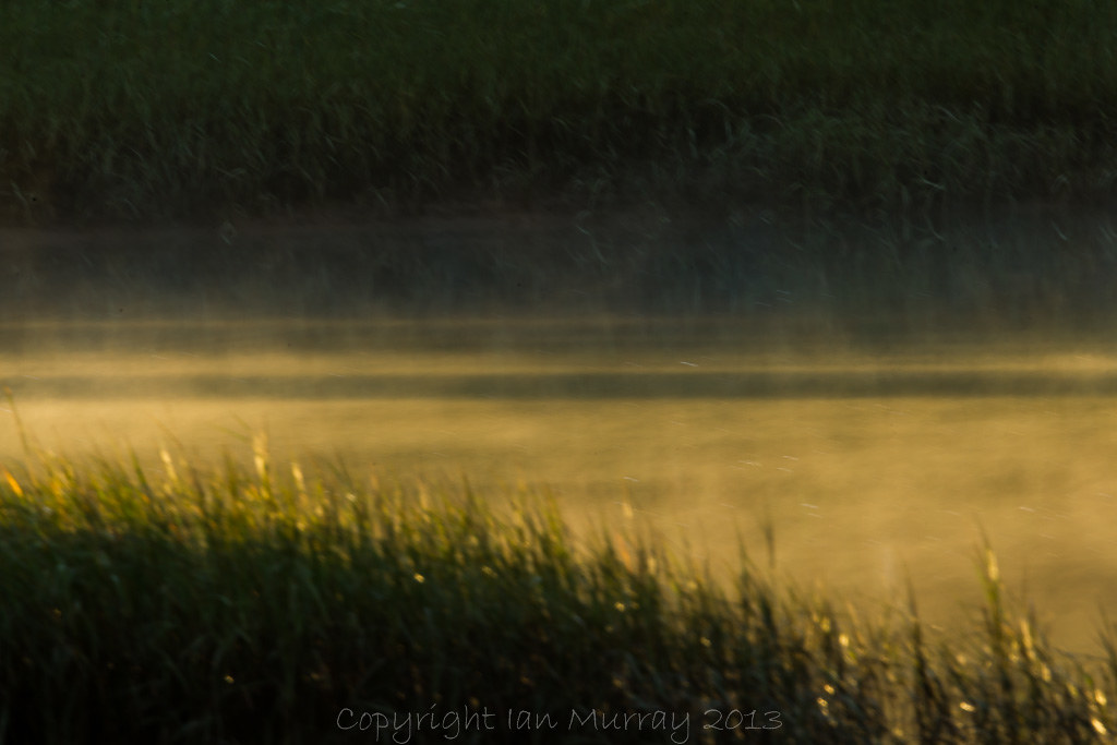
IMGL5261 Misty Morning Wallace River

IMGL5338 Misty Morning Wallace River
IMG_3877 What a Colourful Autumn!

IMGL5255 Misty Morning Wallace River

IMG_3881 What a Colourful Autumn!
IMG_3874 What a Colourful Autumn!
IMG_3878 What a Colourful Autumn!
IMG_3875 What a Colourful Autumn!
IMG_3880 What a Colourful Autumn!
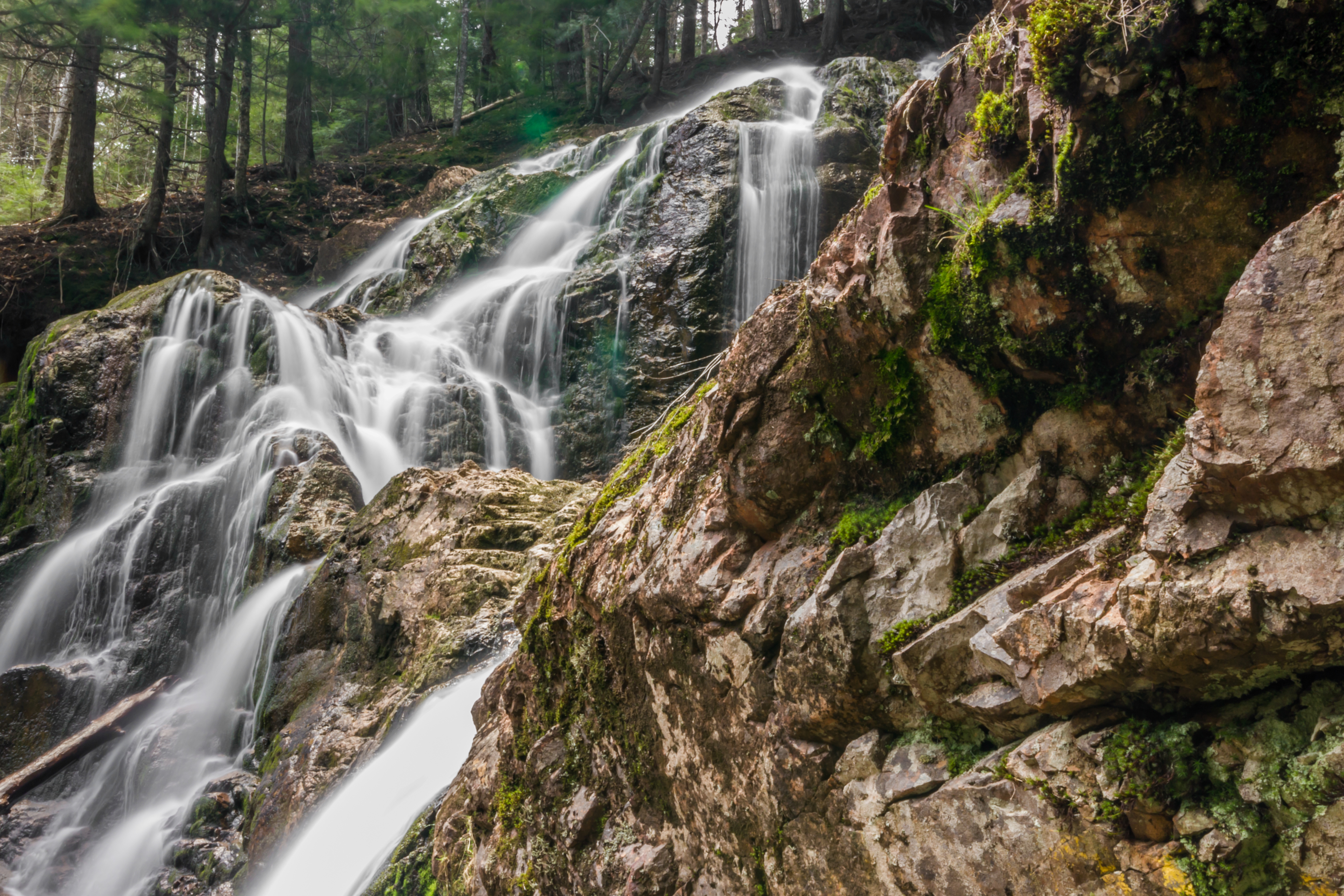
Wentworth Falls
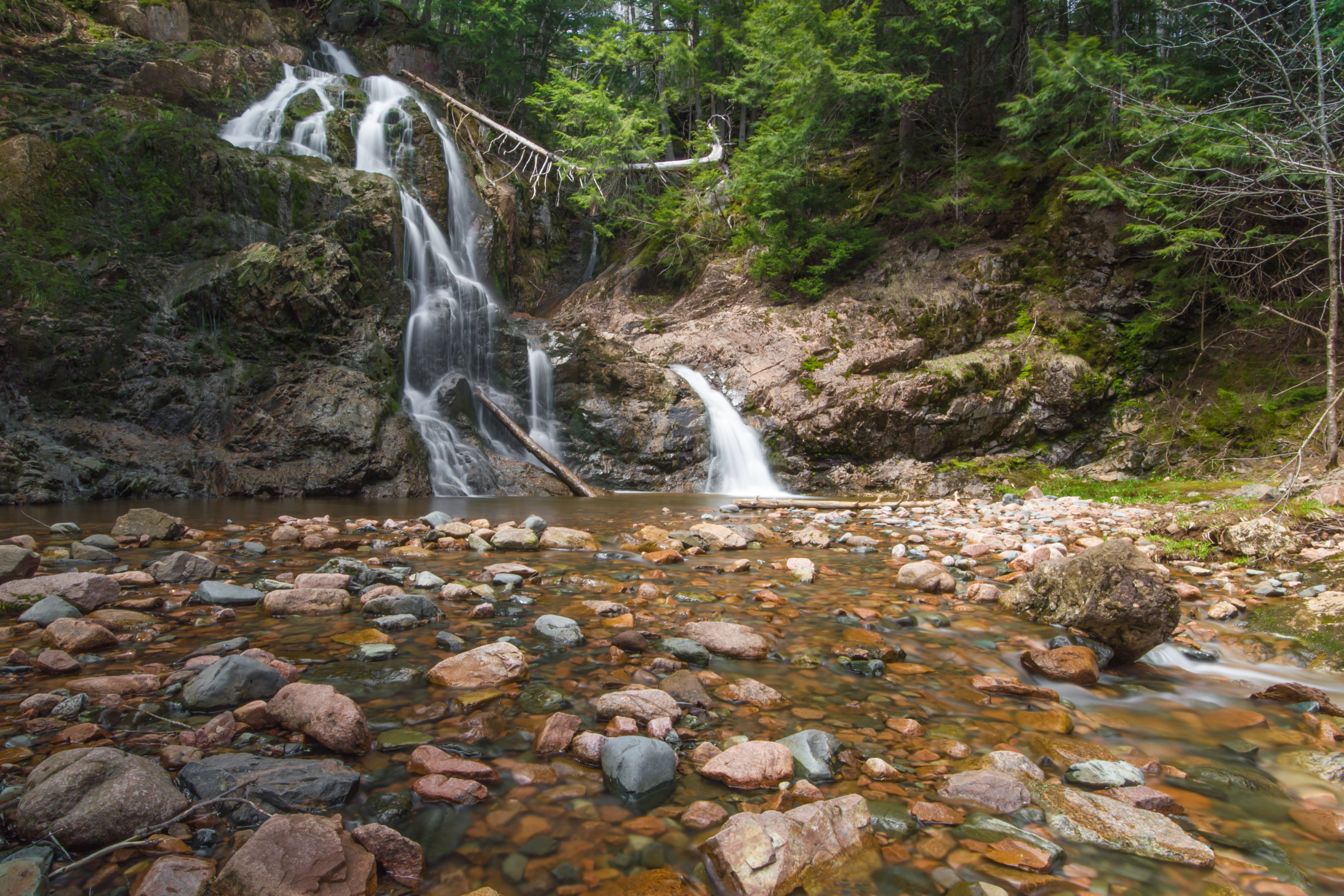
Wentworth Falls
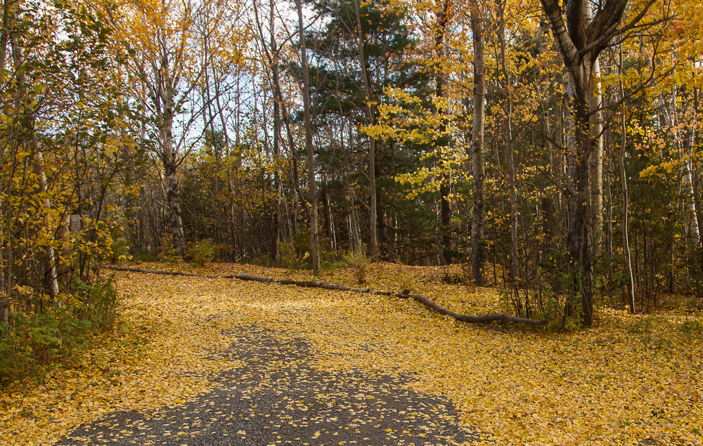
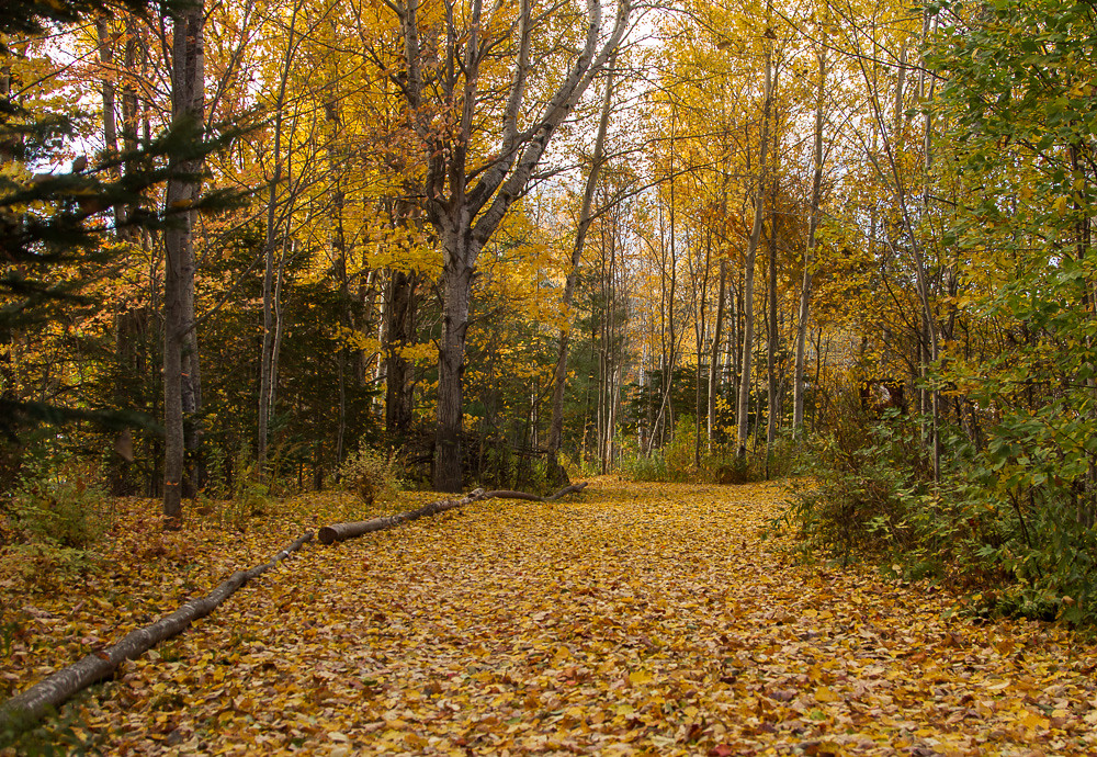
autumn.
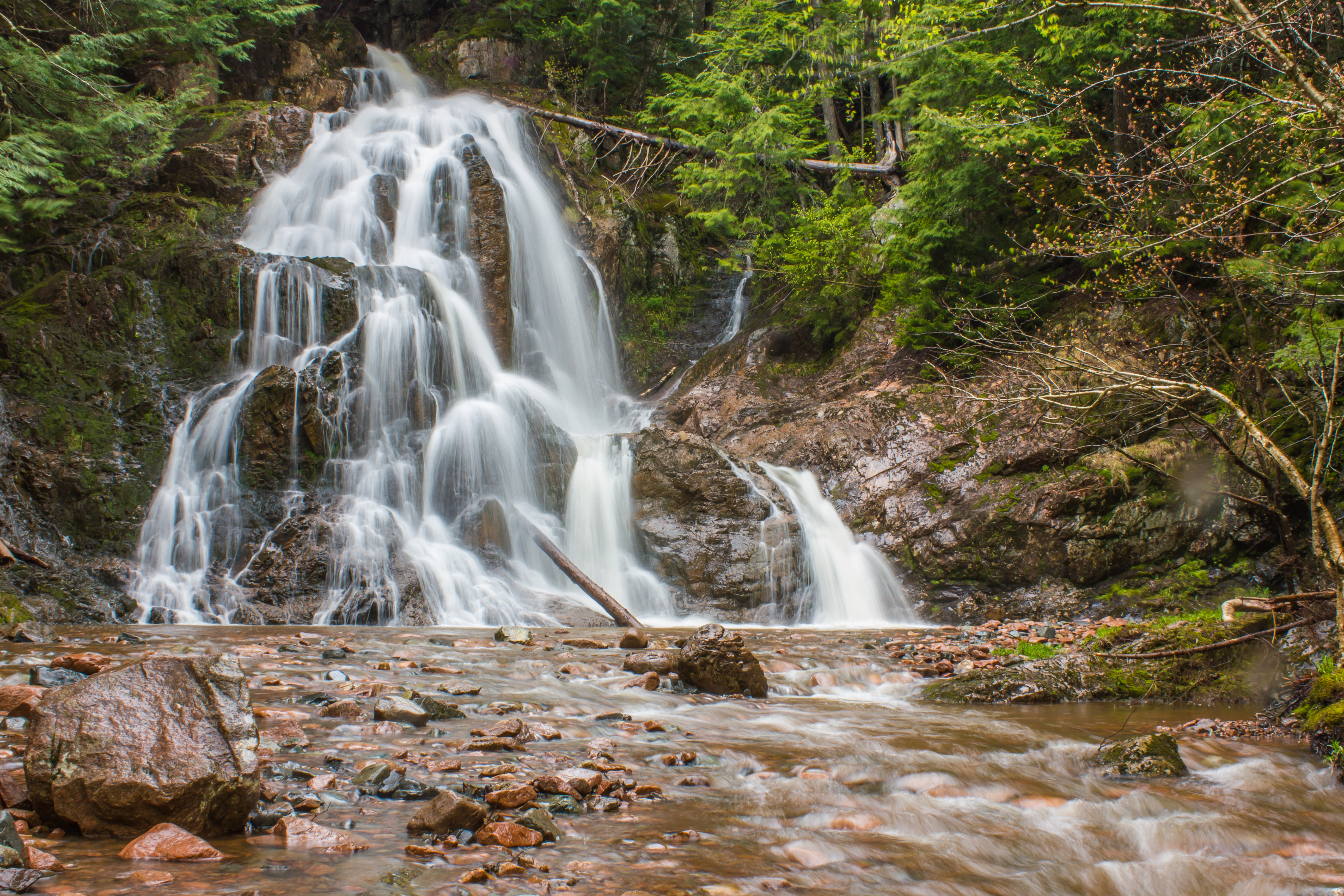
Wentworth Falls

IMGL7723 Purple Finch (F)
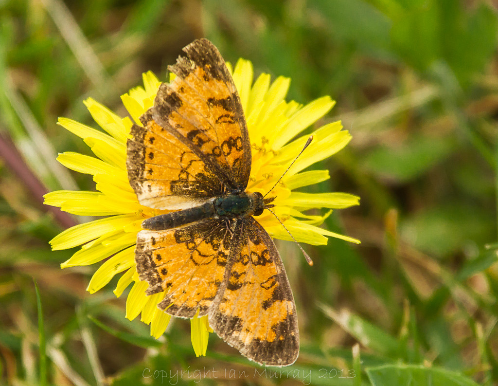
IMGL5642 Butterfly on Dandelion
Topographic Map of W Tatamagouche Rd, Tatamagouche, NS B0K 1V0, Canada
Find elevation by address:

Places near W Tatamagouche Rd, Tatamagouche, NS B0K 1V0, Canada:
Bayhead
Clarks Road
Logan Rd, Malagash, NS B0K 1E0, Canada
Malagash
48 Vintage Ln
North Shore
B0k 1y0
Tatamagouche
12 Oak Ridge Ct
Wallace
22 Riverside Dr
614 Sand Point Rd
45-19
689 Kerrs Mill Rd
Cumberland, Subd. D
Fox Harbour
Feldershore Drive
2478 Gulf Shore Rd
1916 Gulf Shore Rd
1918 Gulf Shore Rd
Recent Searches:
- Elevation of Dog Leg Dr, Minden, NV, USA
- Elevation of Dog Leg Dr, Minden, NV, USA
- Elevation of Kambingan Sa Pansol Atbp., Purok 7 Pansol, Candaba, Pampanga, Philippines
- Elevation of Pinewood Dr, New Bern, NC, USA
- Elevation of Mountain View, CA, USA
- Elevation of Foligno, Province of Perugia, Italy
- Elevation of Blauwestad, Netherlands
- Elevation of Bella Terra Blvd, Estero, FL, USA
- Elevation of Estates Loop, Priest River, ID, USA
- Elevation of Woodland Oak Pl, Thousand Oaks, CA, USA