Elevation of W State Hwy, Lepanto, AR, USA
Location: United States > Arkansas > Mississippi County > Little River Township >
Longitude: -90.266887
Latitude: 35.6484
Elevation: 70m / 230feet
Barometric Pressure: 100KPa
Elevation Map:
Satellite Map:
Related Photos:
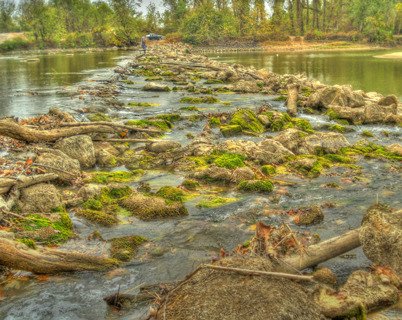
Fishing At Rivervale
Day 39-42 007
Sunset on the delta....
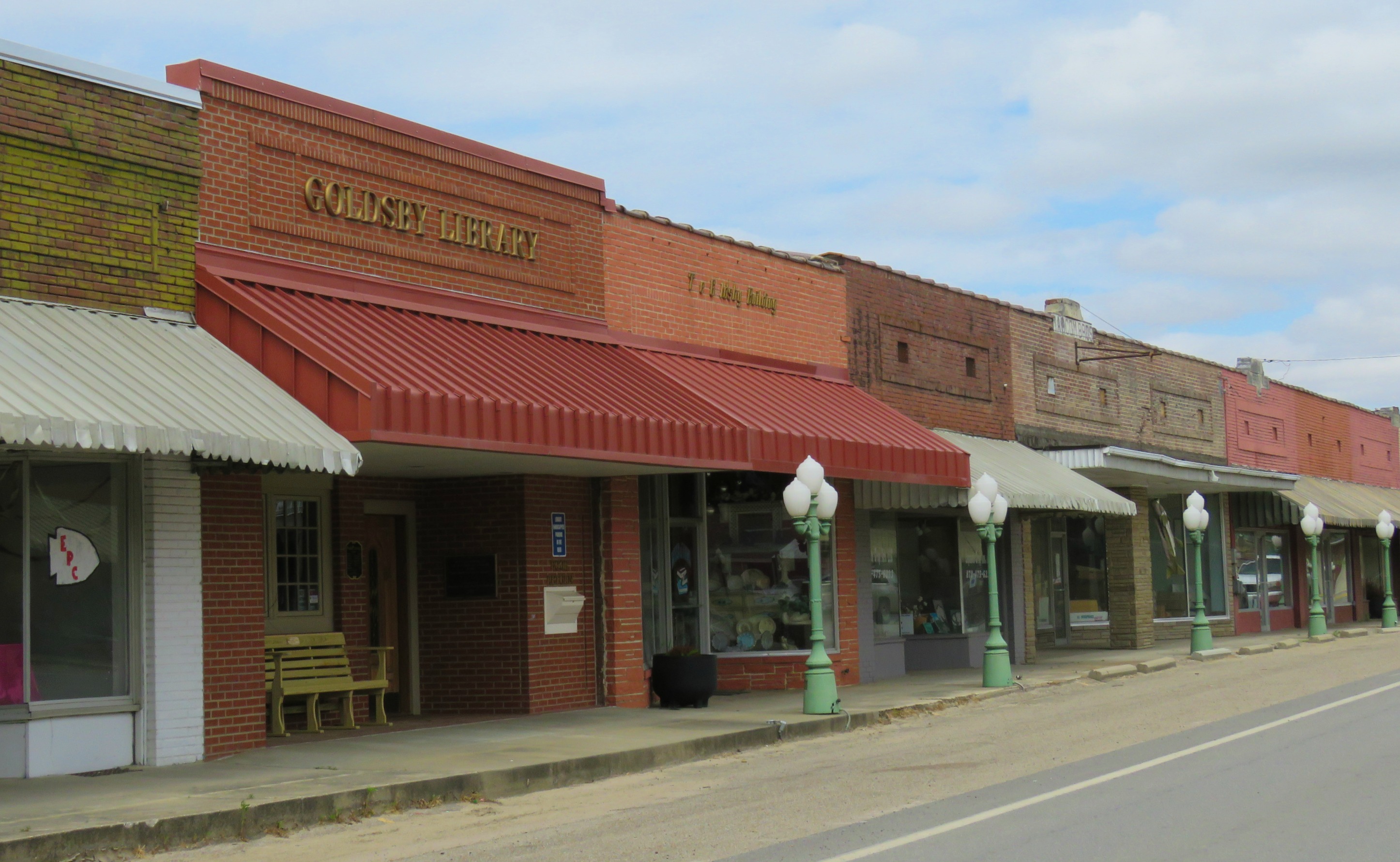
Brick facades with awnings

Boondock batwing
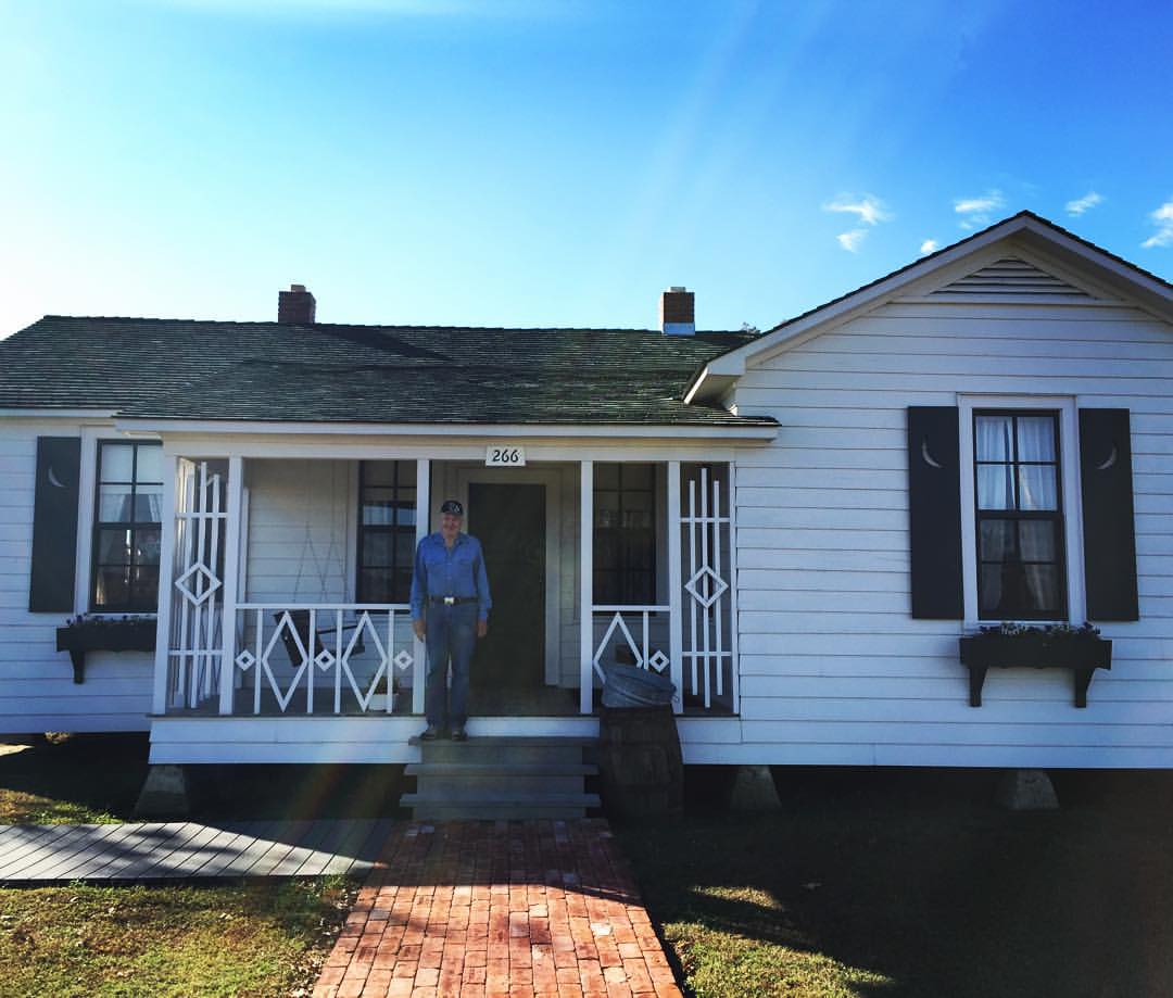
Pa Hansen at Johnny Cash's boyhood home

Be a live wire then you won't get stepped on. #johnnycash
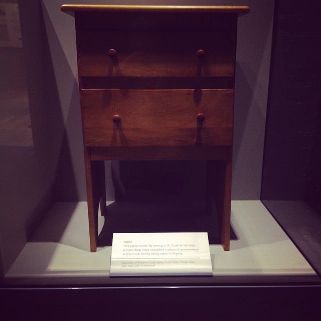
Made by JR

Simplex projector

Simplex projector

Remains of Strand Theatre

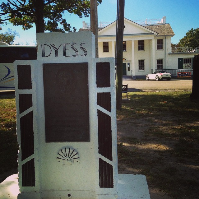
New Deal town
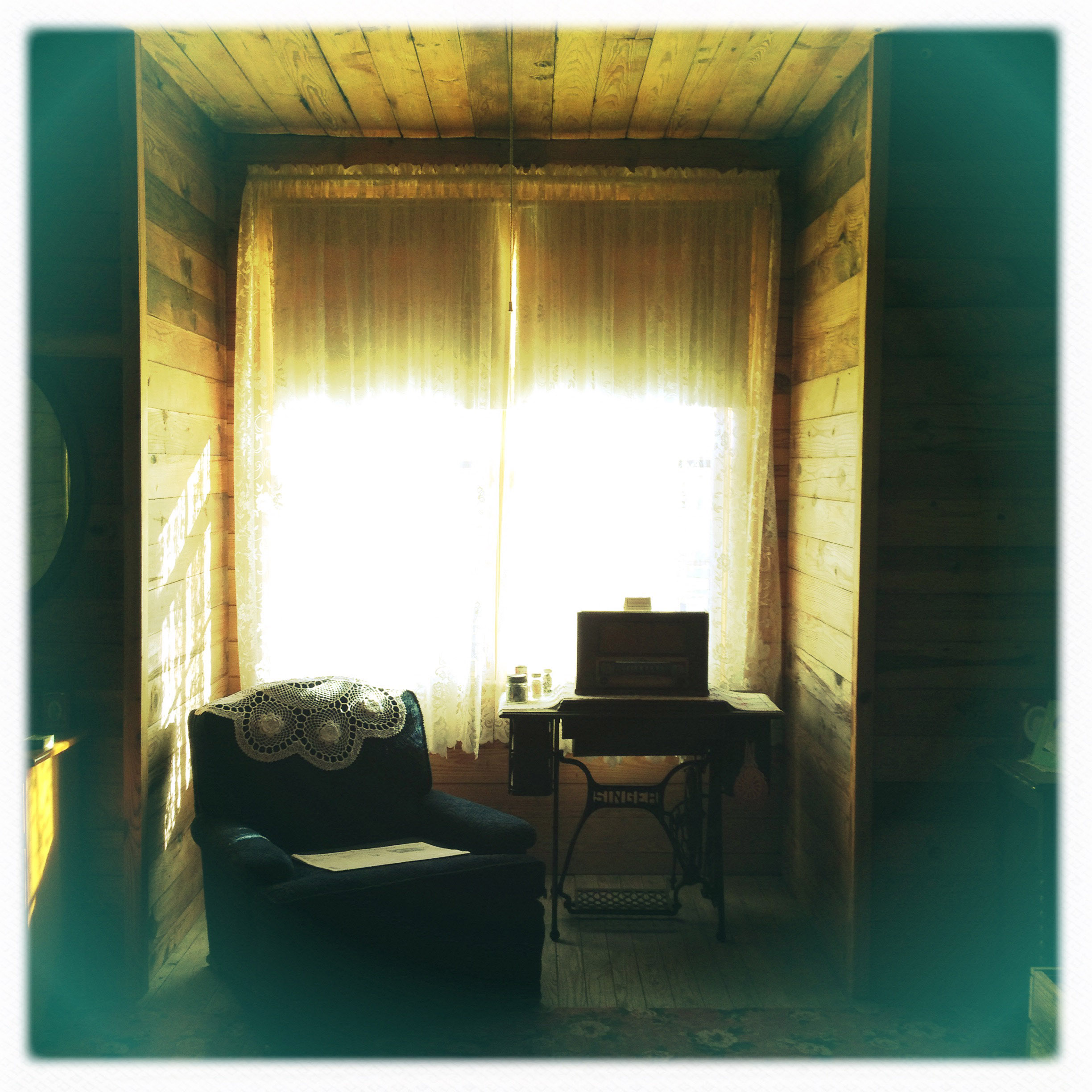
Living room of Johnny Cash's boyhood home
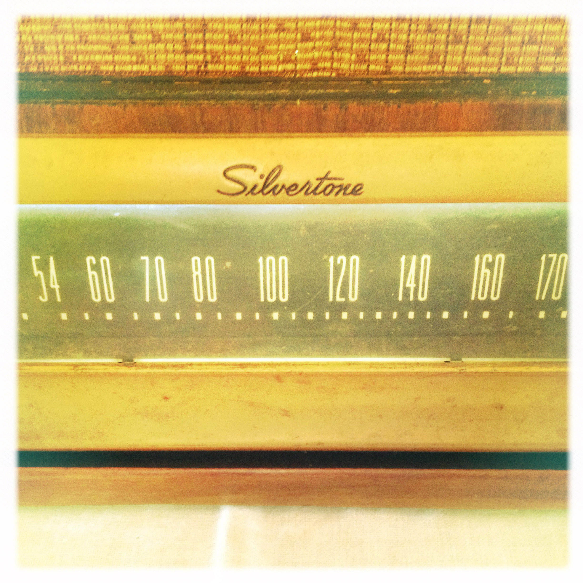
Radio at Johnny Cash's boyhood home

Simplex projector at Dyess Theatre
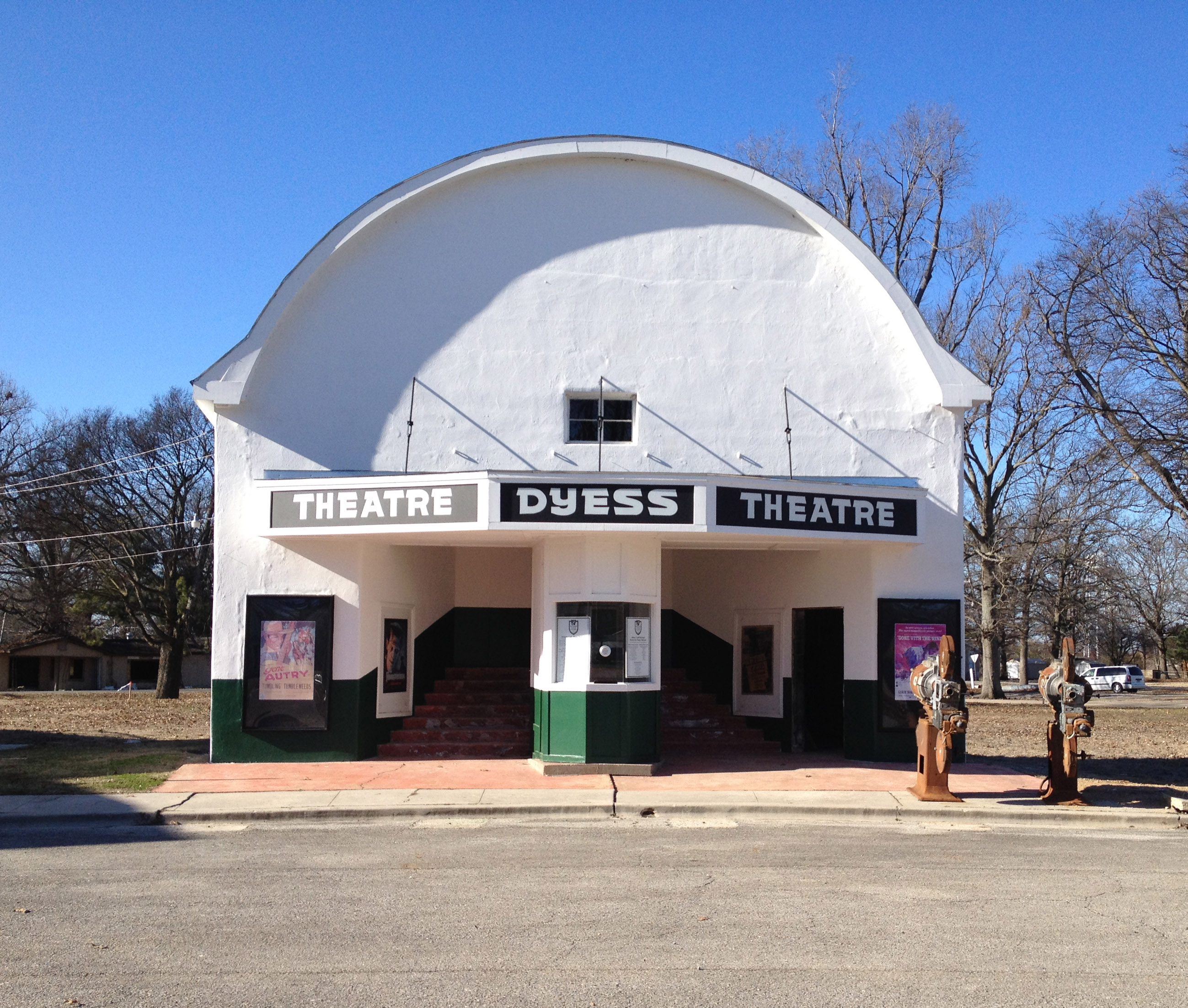
Dyess Theatre
A couple more pics from this weekend's #HPAA #ramble

Ruth Hawkins leading the tour at the Dyess Colony Adminstration Bldg... #HPAA #ramble

The Princess Tree 3.5
Day 39-42 006
Day 39-42 008

Day 39-42 011
Topographic Map of W State Hwy, Lepanto, AR, USA
Find elevation by address:

Places near W State Hwy, Lepanto, AR, USA:
AR-77, Lepanto, AR, USA
W State Hwy, Osceola, AR, USA
Dyess Township
Lepanto
Rivervale Ln, Lepanto, AR, USA
Dyess
2nd St, Dyess, AR, USA
Greenwood Township
State Hwy, Marked Tree, AR, USA
AR-, Tyronza, AR, USA
S Co Rd, Joiner, AR, USA
Scott Township
W Co Rd, Joiner, AR, USA
Keiser
Main St, Keiser, AR, USA
5 AR-, Keiser, AR, USA
Bassett
Elm St, Dyess, AR, USA
Tinsley St, Joiner, AR, USA
Joiner
Recent Searches:
- Elevation of Elwyn Dr, Roanoke Rapids, NC, USA
- Elevation of Congressional Dr, Stevensville, MD, USA
- Elevation of Bellview Rd, McLean, VA, USA
- Elevation of Stage Island Rd, Chatham, MA, USA
- Elevation of Shibuya Scramble Crossing, 21 Udagawacho, Shibuya City, Tokyo -, Japan
- Elevation of Jadagoniai, Kaunas District Municipality, Lithuania
- Elevation of Pagonija rock, Kranto 7-oji g. 8"N, Kaunas, Lithuania
- Elevation of Co Rd 87, Jamestown, CO, USA
- Elevation of Tenjo, Cundinamarca, Colombia
- Elevation of Côte-des-Neiges, Montreal, QC H4A 3J6, Canada