Elevation of W S, Cutler, IN, USA
Location: United States > Indiana > Carroll County >
Longitude: -86.527698
Latitude: 40.468096
Elevation: 224m / 735feet
Barometric Pressure: 99KPa
Elevation Map:
Satellite Map:
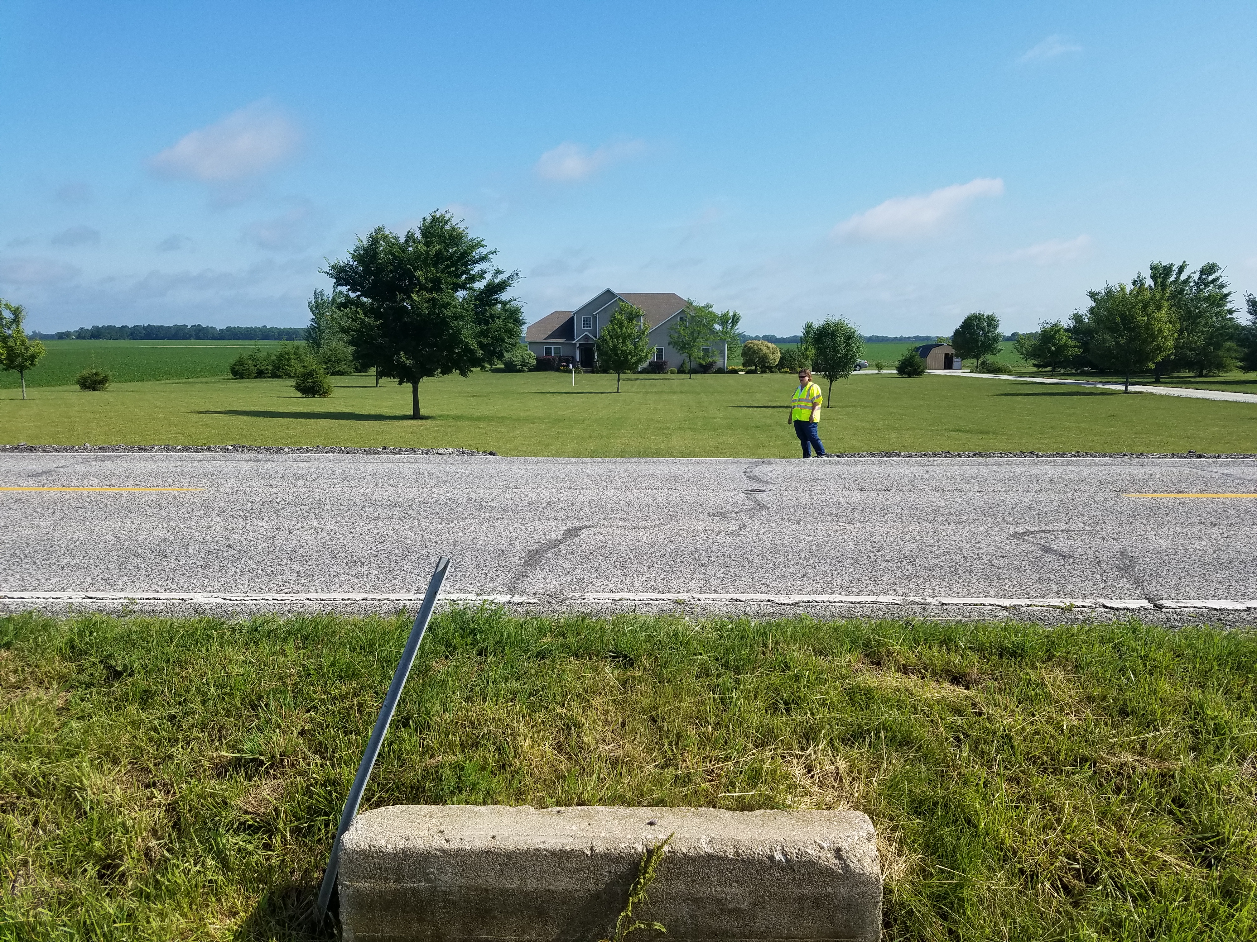
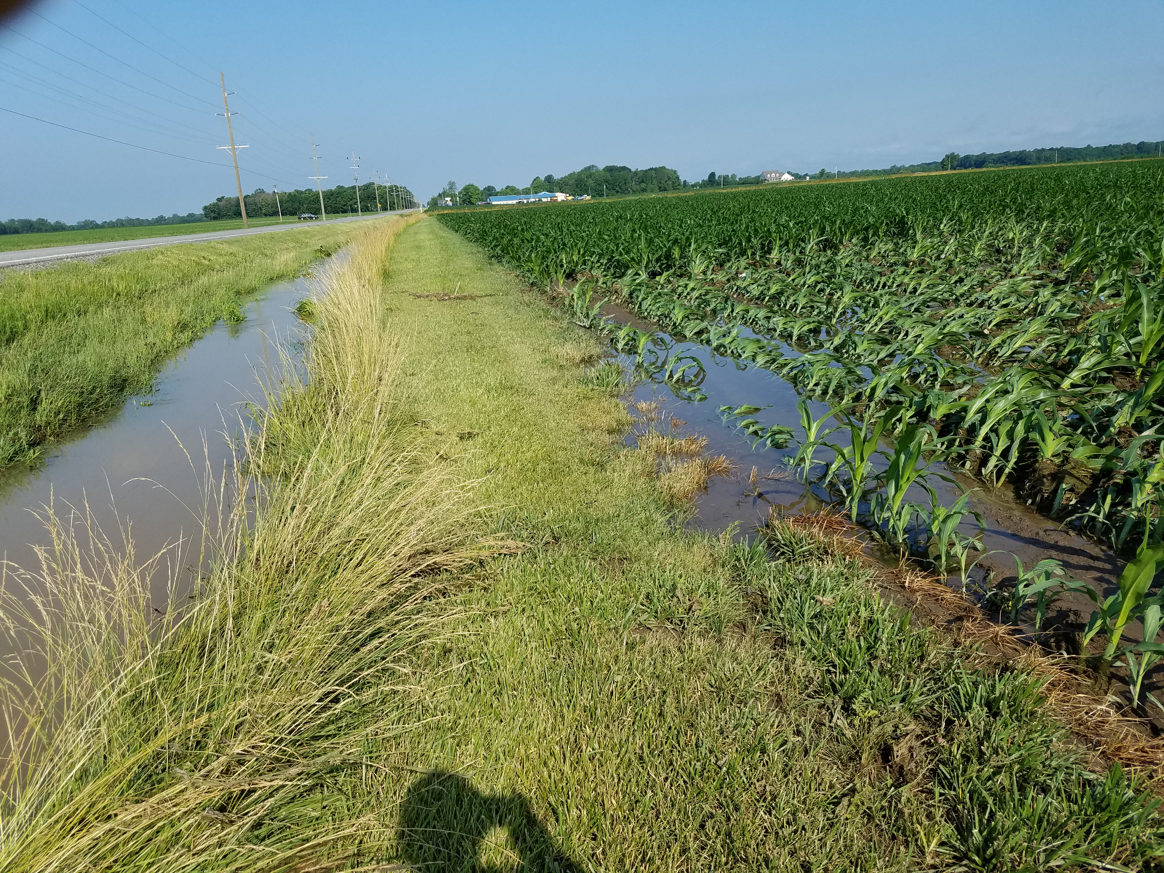
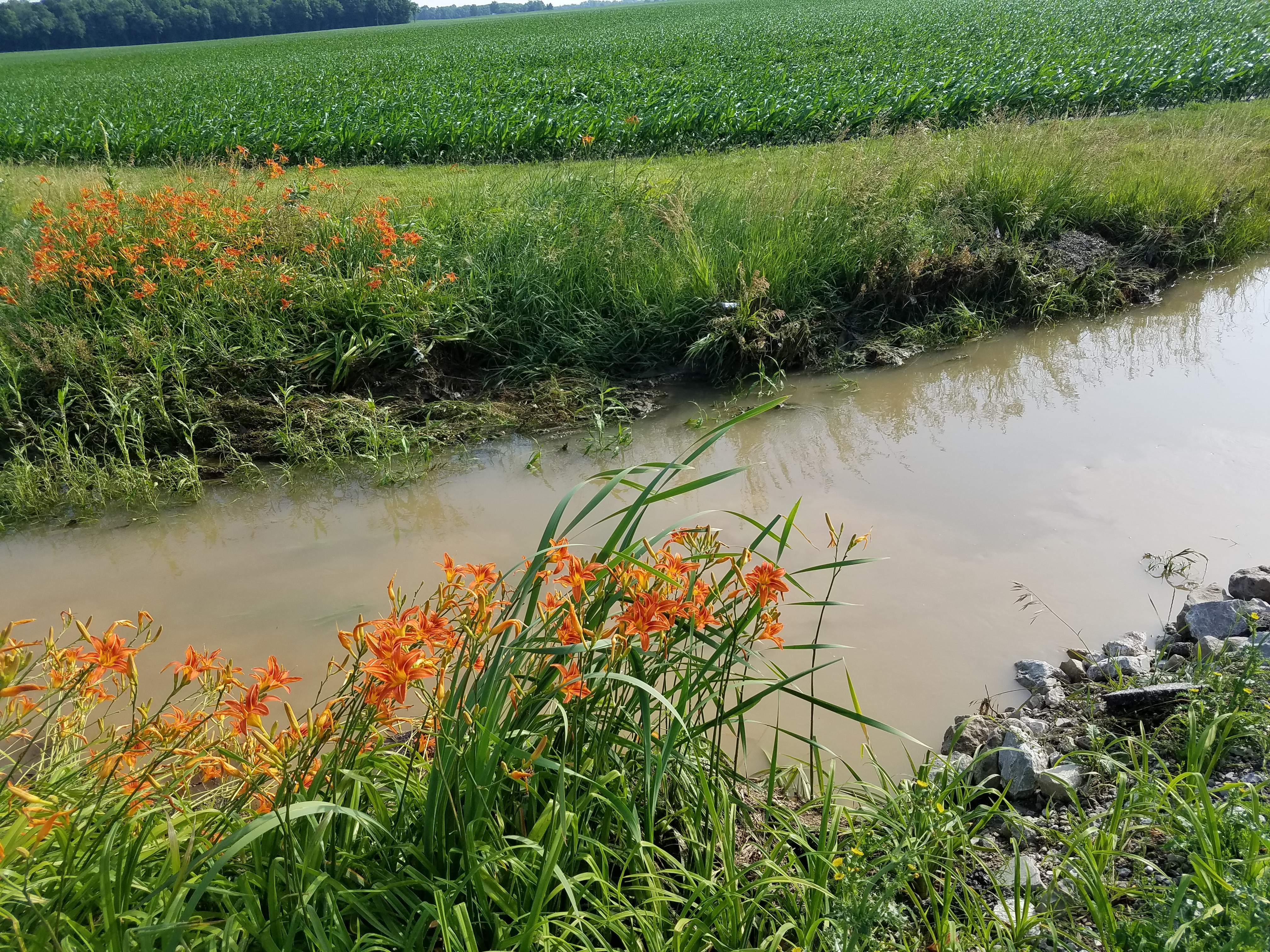
Related Photos:

long lost
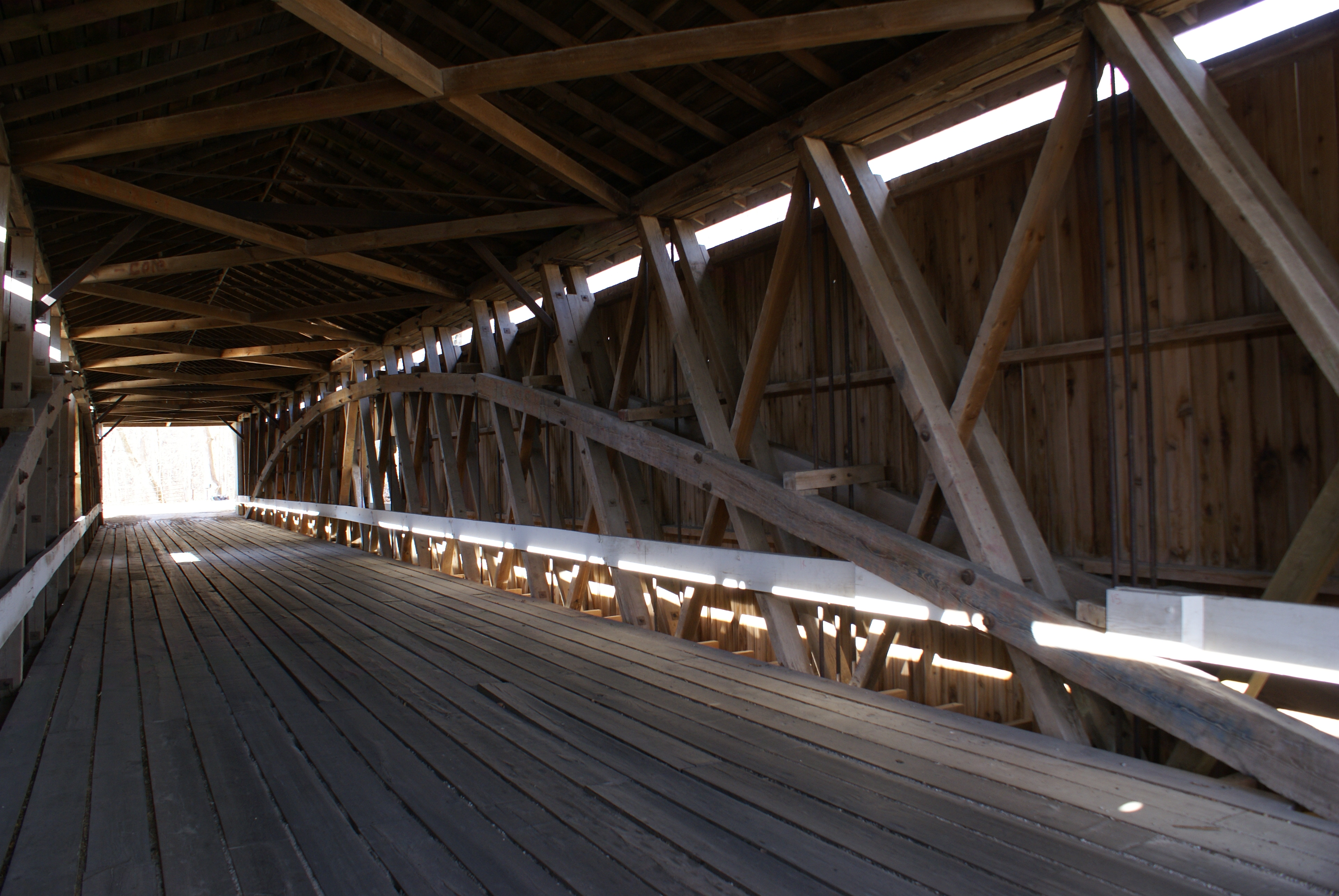
Adams Mill Covered Bridge

Indiana Sunset

2017-09-30 (138) small town Indiana - yp

2017-09-30 (140)-1 Indiana red barn
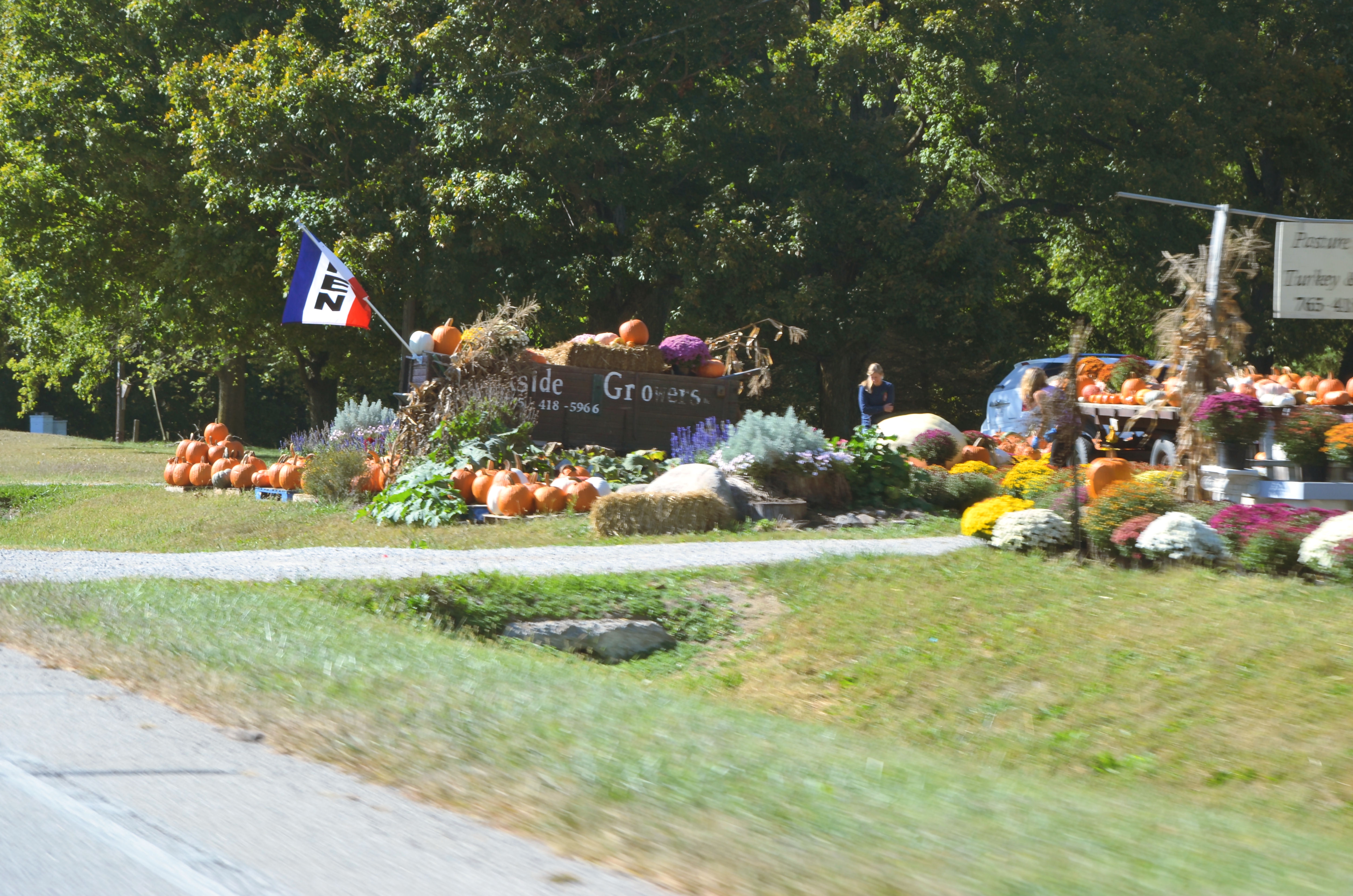
2017-09-30 (139) Indiana roadside market west of Rossville In on IN26
wildcat river way

a perfect couple
wooded roadway

2017-09-30 (138) small town Indiana - with wires removed - yp
CJ 20160623_101459
CJ 20160623_094133
CJ 20160623_093244
Topographic Map of W S, Cutler, IN, USA
Find elevation by address:

Places near W S, Cutler, IN, USA:
Eller Dr, Bringhurst, IN, USA
Washington St, Frankfort, IN, USA
Bringhurst
Owen Township
3931 W 400 S
Carroll County
8866 N Co Rd 200 E
8866 N Co Rd 200 E
10 E Main St, Rossville, IN, USA
Rossville
Ross Township
Stanfield St, Delphi, IN, USA
W Co Rd N, Frankfort, IN, USA
Madison Township
5304 In-39
North Co Road 500 West
N Co Rd 0 Ew, Frankfort, IN, USA
W Co Rd N, Frankfort, IN, USA
Clinton County
Jackson Township
Recent Searches:
- Elevation of Dog Leg Dr, Minden, NV, USA
- Elevation of Dog Leg Dr, Minden, NV, USA
- Elevation of Kambingan Sa Pansol Atbp., Purok 7 Pansol, Candaba, Pampanga, Philippines
- Elevation of Pinewood Dr, New Bern, NC, USA
- Elevation of Mountain View, CA, USA
- Elevation of Foligno, Province of Perugia, Italy
- Elevation of Blauwestad, Netherlands
- Elevation of Bella Terra Blvd, Estero, FL, USA
- Elevation of Estates Loop, Priest River, ID, USA
- Elevation of Woodland Oak Pl, Thousand Oaks, CA, USA