Elevation of W Remington Ridge, Mackay, ID, USA

Location: United States > Idaho > Custer County > Mackay >

Longitude: -113.88121

Latitude: 44.0444988

Elevation: 1936m / 6352feet

Barometric Pressure: 80KPa

Elevation Map:

elevation map of W Remington Ridge, Mackay, ID, USA

Satellite Map:

Satellite map of W Remington Ridge, Mackay, ID, USA

Related Photos:

idaho artemisiatridentata krascheninnikovialanata overgrazed bromustectorum grandviewcanyon stipacomata disturbedsite sagebrushsteppe poasecunda artemisiaspinescens atriplexgardneri
Grand View Canyon Road cheatgrass sites
Smokey Sunrise in the Lost River Range
A very windy summit panorama
The summit push
cliff sun mountain chicken leatherman rock sunrise river out lost climb id peak boulder hike idaho ridge mount rise range borah
Borah Peak Saddle View 11,800ft.
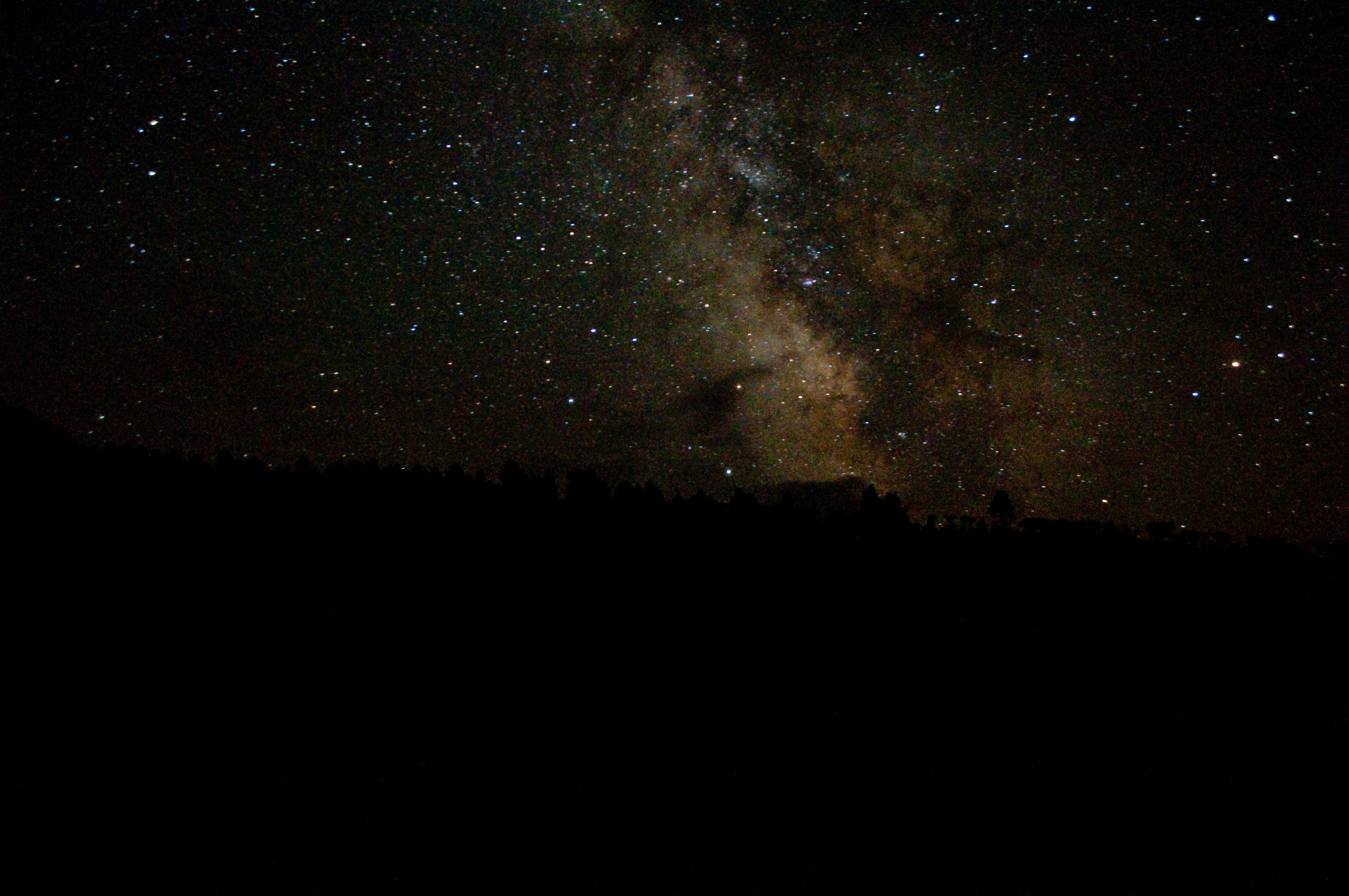
idaho borahpeak custercounty mountborah lostriverrange mountain mountains scenery view landscape challisnationalforest trailhead campground highpoint night star stars milkyway galaxy astronomy
Idaho Milky Way
idaho custercounty borahpeak mountborah lostriverrange mountain mountains scenery view landscape challisnationalforest
View to the south
cliff sun mountain chicken leatherman rock sunrise river out lost climb id peak boulder hike idaho ridge mount rise range borah
Borah Summit View
idaho borahpeak mountborah summit panorama highpoint scenery landscape view challisnationalforest custercounty lostriverrange mountain mountains
Borah Peak panorama
idaho borahpeak custercounty mountborah lostriverrange mountain mountains scenery view landscape challisnationalforest peakstocratersscenicbyway highway93 highpoint
The Storm King
idaho custercounty borahpeak mountborah lostriverrange mountain mountains scenery view landscape challisnationalforest
Satellite?
idaho borahpeak custercounty mountborah lostriverrange mountain mountains scenery view landscape challisnationalforest campground trailhead highpoint tent
Camping for the night
idaho custercounty borahpeak mountborah lostriverrange mountain mountains scenery view landscape challisnationalforest
Idaho's Milky Way
idaho custercounty borahpeak mountborah lostriverrange mountain mountains scenery view landscape challisnationalforest
Milky Way at the trailhead
idaho borahpeak custercounty mountborah lostriverrange mountain mountains scenery view landscape challisnationalforest highpoint
View to the summit
idaho borahpeak custercounty mountborah lostriverrange mountain mountains scenery view landscape challisnationalforest campground trailhead highpoint tent
Camping at the trailhead
idaho borahpeak custercounty mountborah lostriverrange mountain mountains scenery view landscape challisnationalforest highpoint summit flag flags
Summit flags
idaho borahpeak custercounty mountborah lostriverrange mountain mountains scenery view landscape challisnationalforest highpoint summit bible newtestament
New Testament
park camping sky mountain landscape outdoor hiking unitedstatesofamerica places idaho trail mountborah
View from the Top of Borah
idaho borahpeak custercounty mountborah lostriverrange mountain mountains scenery view landscape challisnationalforest highpoint
Borah Peak
idaho borah peak mountain mount lostriverrange highpoint view scenery landscape panorama challisnationalforest
Remembering Borah
old horse mountains abandoned landscape unmodified log cabin unitedstates outdoor decay hill idaho shade weathered rockymountains mackay deteriorated frontier unedited roofless deterioration nofilters straightoffthecamera pahsimeroi samsunggalaxynote4
We've Seen Better Days Around these Parts (Part 4)
usa mountains forest landscapes flickr desert unitedstatesofamerica idaho gps panoramio 2013 camcanonrebelt3i salmonchallisnf
Pahsimeroi Mountains, Salmon-Challis NF, SW of Challis, Idaho
usa mountains landscapes flickr desert unitedstatesofamerica idaho gps panoramio 2013 camcanonrebelt3i salmonchallisnf
Fault Line - Borah Peak Earthquake Fault Line, SW of Challis, Idaho
Bizarre Summit Shadow
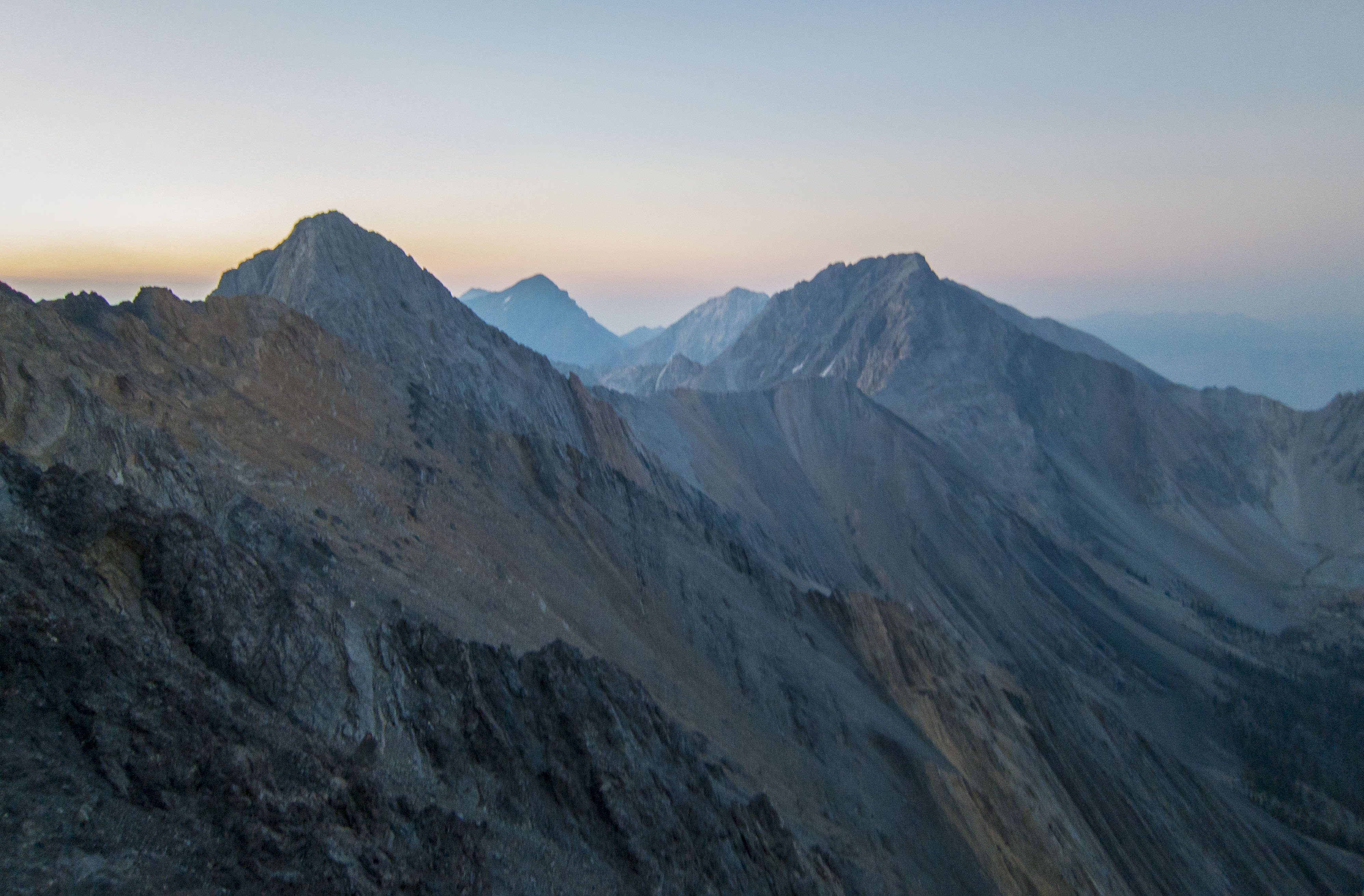
Lost River Range Pre-dawn