Elevation of W Rd, Whiting, VT, USA
Location: United States > Vermont > Addison County > Whiting >
Longitude: -73.210571
Latitude: 43.845978
Elevation: 161m / 528feet
Barometric Pressure: 99KPa
Elevation Map:
Satellite Map:
Related Photos:
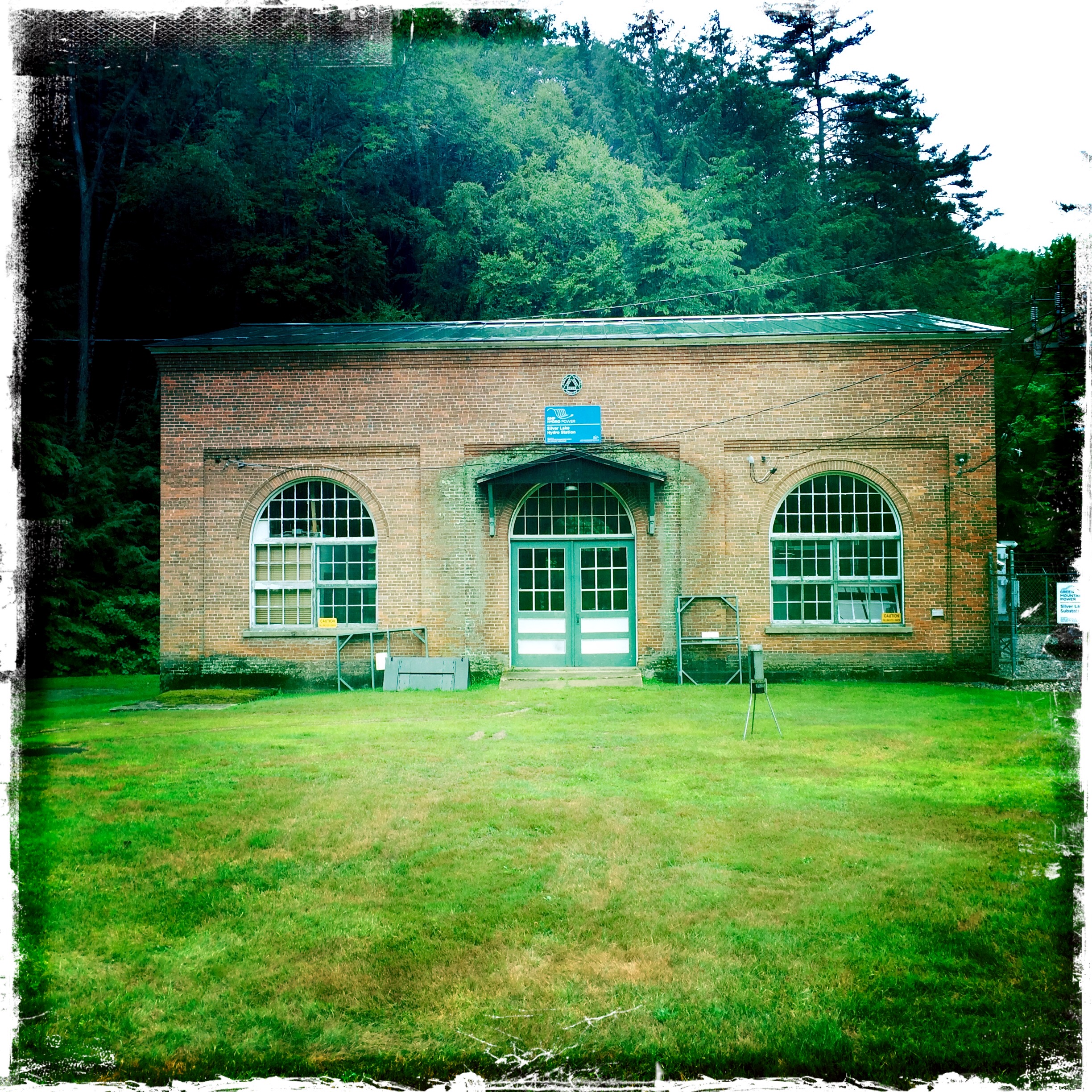
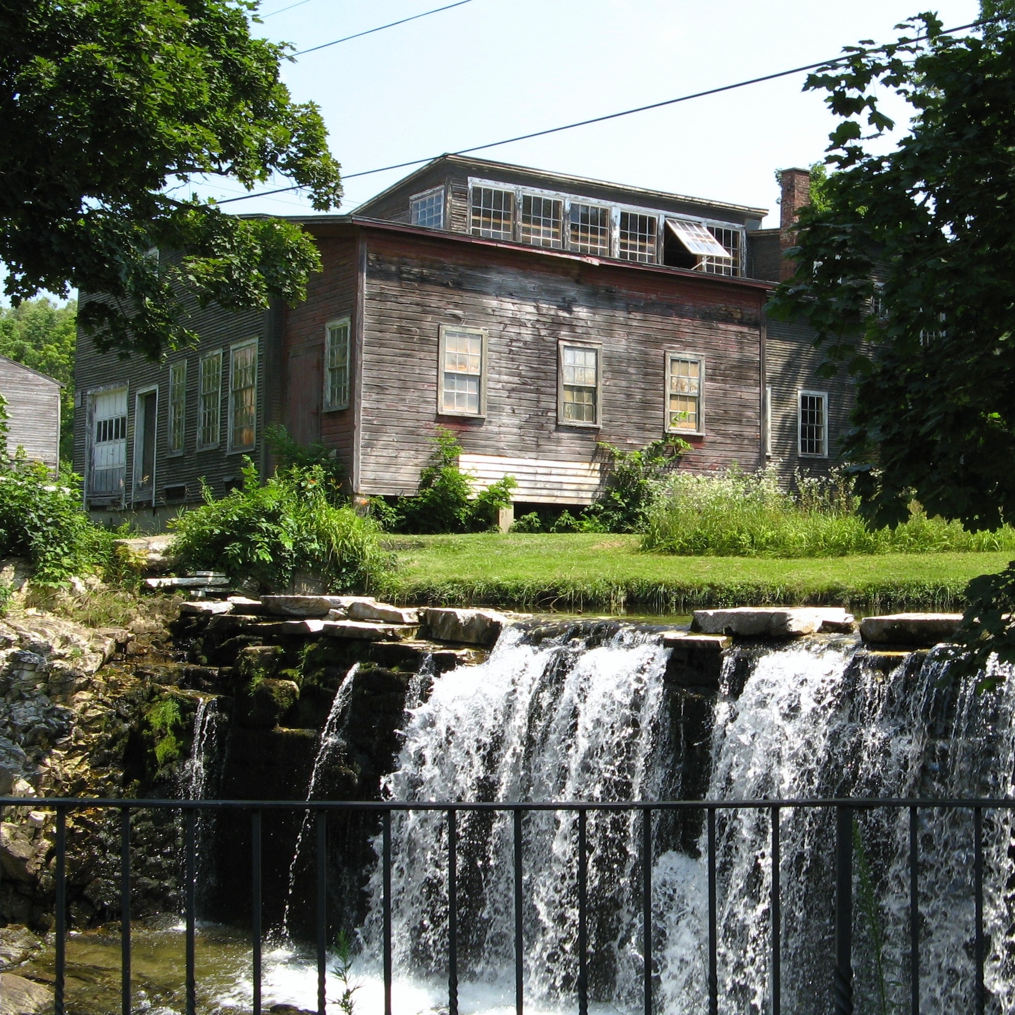
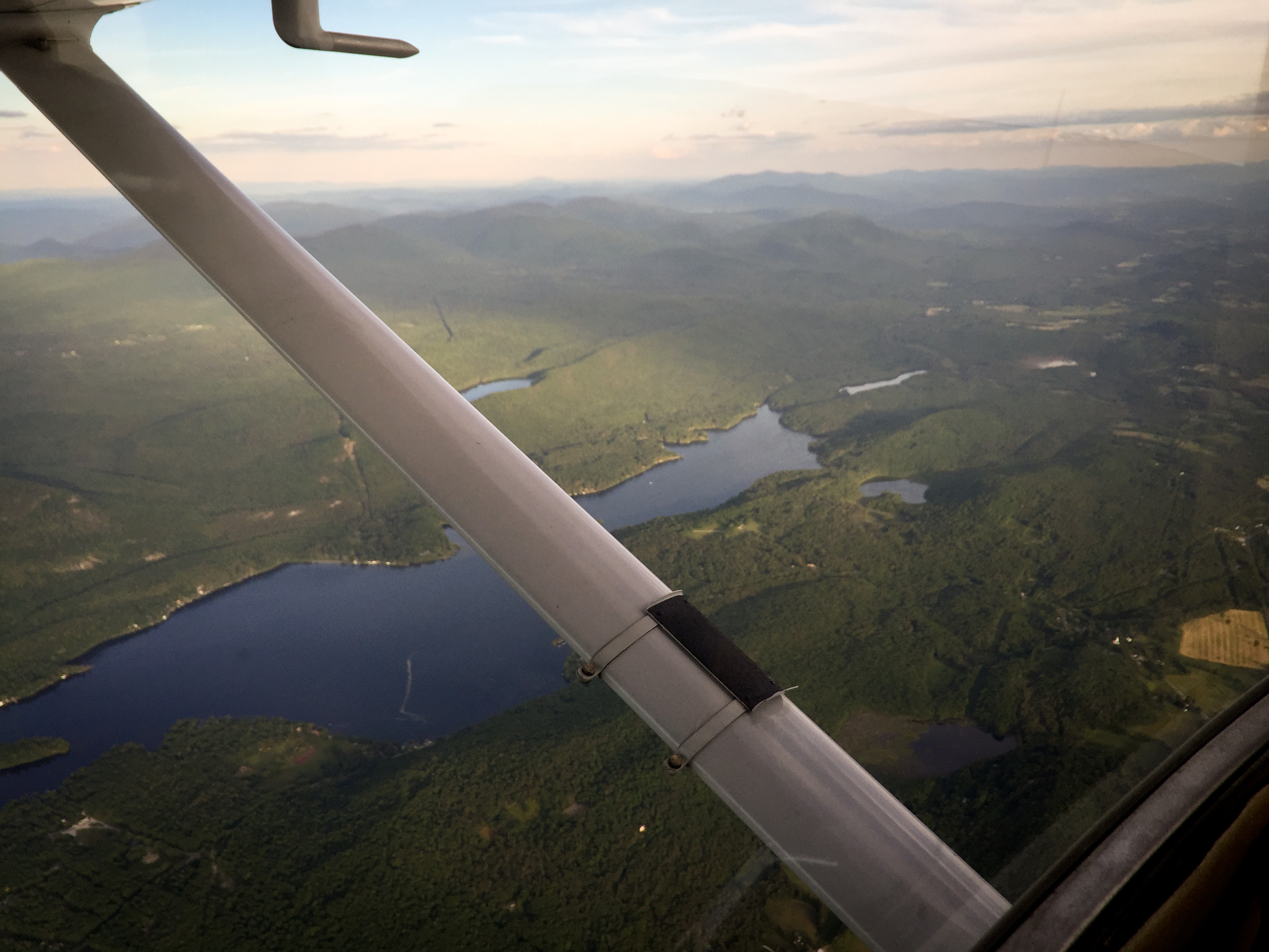
Silver Lake Hydro Station
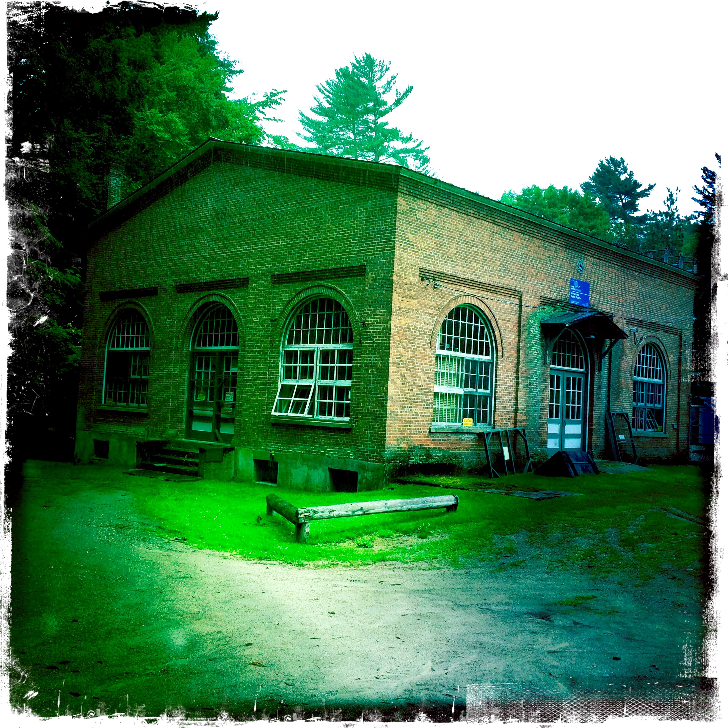
Silver Lake Hydro Station

Silver Lake Hydro Station

Window over door.
summer2016-1285
summer2016-1287
summer2016-1289
summer2016-1291
Brandon, Vermont
20160615-IMG_1527
20160615-IMG_1531

20160615-IMG_1540

20160724-IMG_1724

20160724-IMG_1725

20160724-IMG_1736
Topographic Map of W Rd, Whiting, VT, USA
Find elevation by address:

Places near W Rd, Whiting, VT, USA:
South Main Street
Whiting
84 Galvin Rd
83 Philion Rd, Shoreham, VT, USA
7 Pepper Ln
Burke Road
Shoreham
Wrights Ferry Rd, Putnam Station, NY, USA
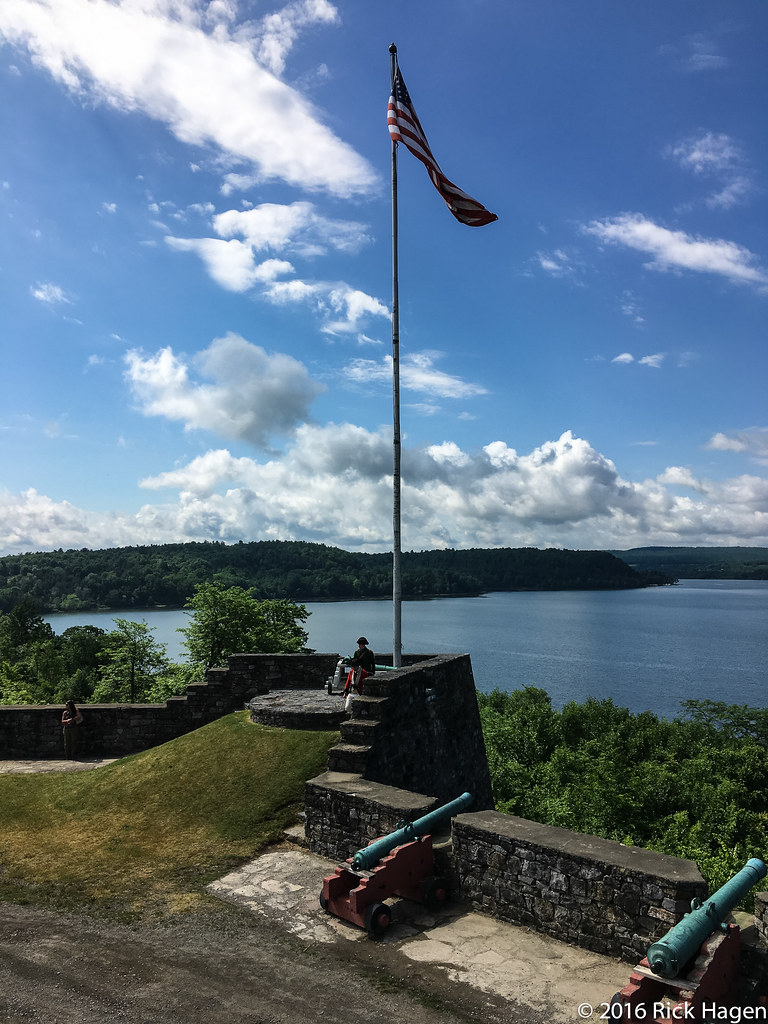
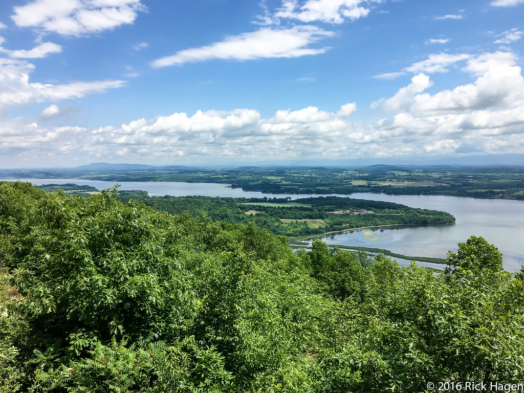
Fort Ticonderoga
30 Fort Ti Rd, Ticonderoga, NY, USA
29 Wrights Ferry Rd
219 Montcalm St
Ticonderoga
112 Montcalm St
5 Calkins Pl
21 3rd Ave
11 Temperance Point, Ticonderoga, NY, USA
Old Chilson Road
Street Road
Recent Searches:
- Elevation of Elwyn Dr, Roanoke Rapids, NC, USA
- Elevation of Congressional Dr, Stevensville, MD, USA
- Elevation of Bellview Rd, McLean, VA, USA
- Elevation of Stage Island Rd, Chatham, MA, USA
- Elevation of Shibuya Scramble Crossing, 21 Udagawacho, Shibuya City, Tokyo -, Japan
- Elevation of Jadagoniai, Kaunas District Municipality, Lithuania
- Elevation of Pagonija rock, Kranto 7-oji g. 8"N, Kaunas, Lithuania
- Elevation of Co Rd 87, Jamestown, CO, USA
- Elevation of Tenjo, Cundinamarca, Colombia
- Elevation of Côte-des-Neiges, Montreal, QC H4A 3J6, Canada