Elevation of W Randall St, Tekonsha, MI, USA
Location: United States > Michigan > Calhoun County > Tekonsha Township > Tekonsha >
Longitude: -84.9875
Latitude: 42.095206
Elevation: 287m / 942feet
Barometric Pressure: 98KPa
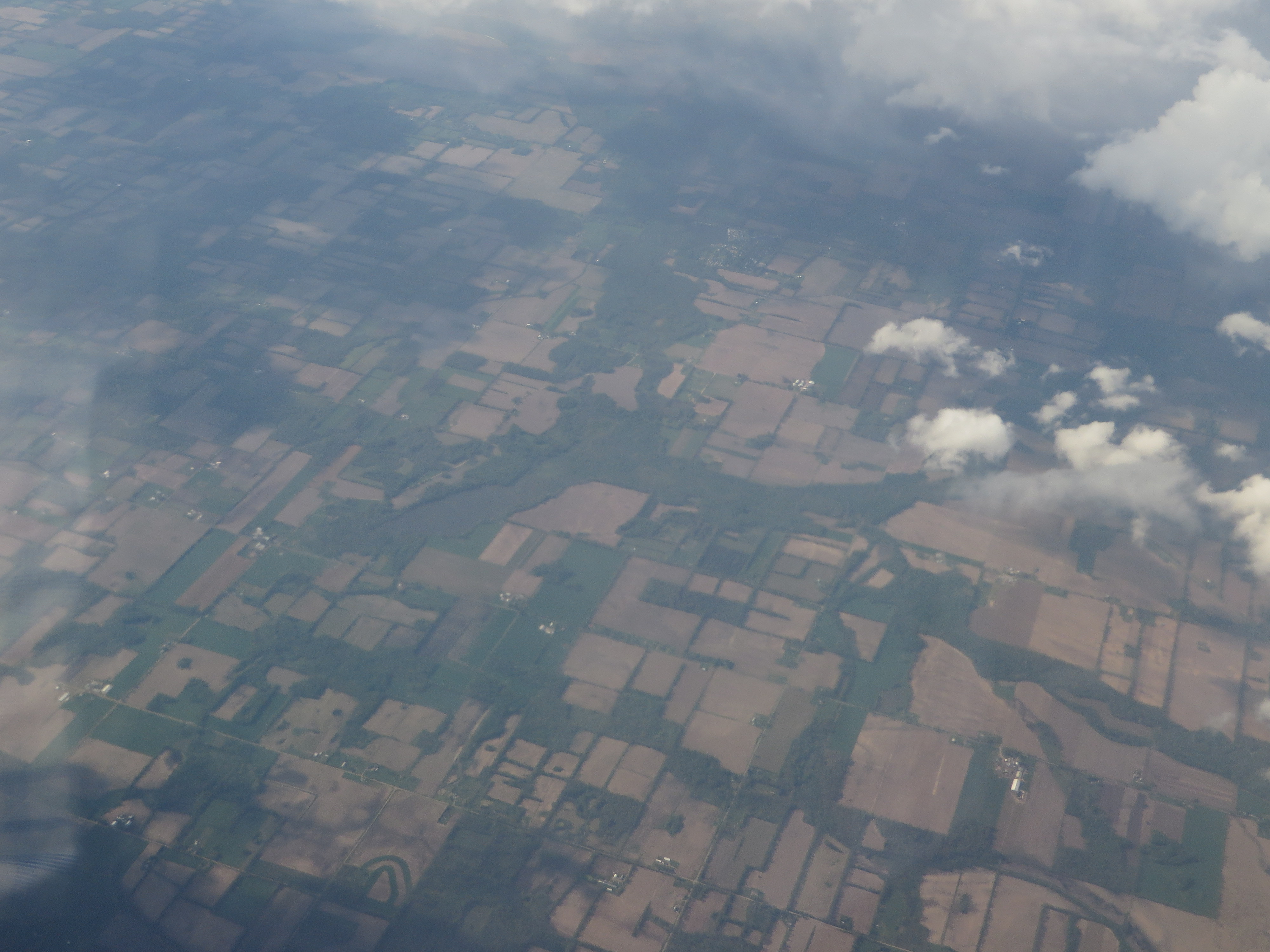
Elevation Map:
Satellite Map:
Related Photos:
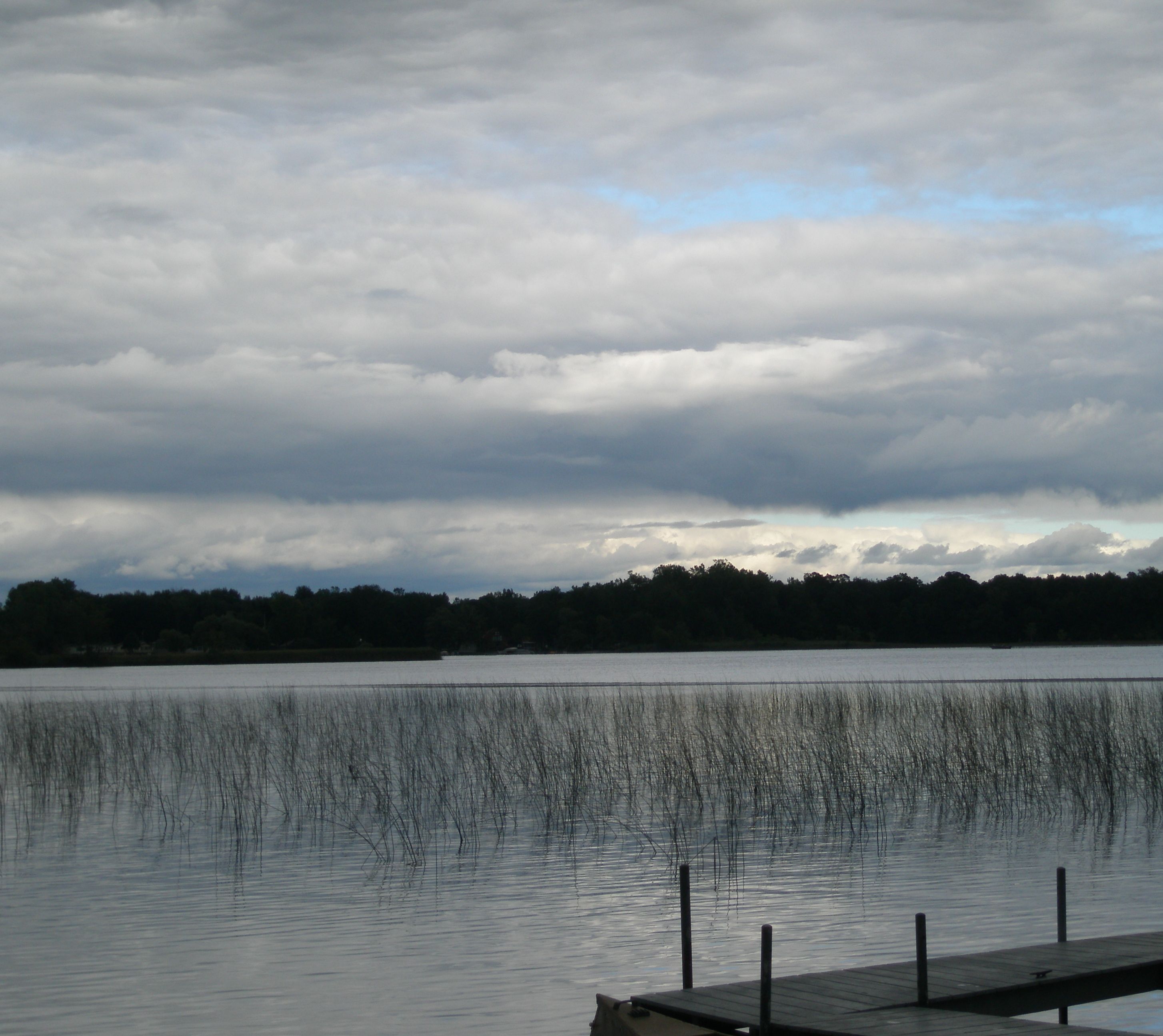
Quaker Lake, Litchfield, Michigan
082-2

CH405 Sunset
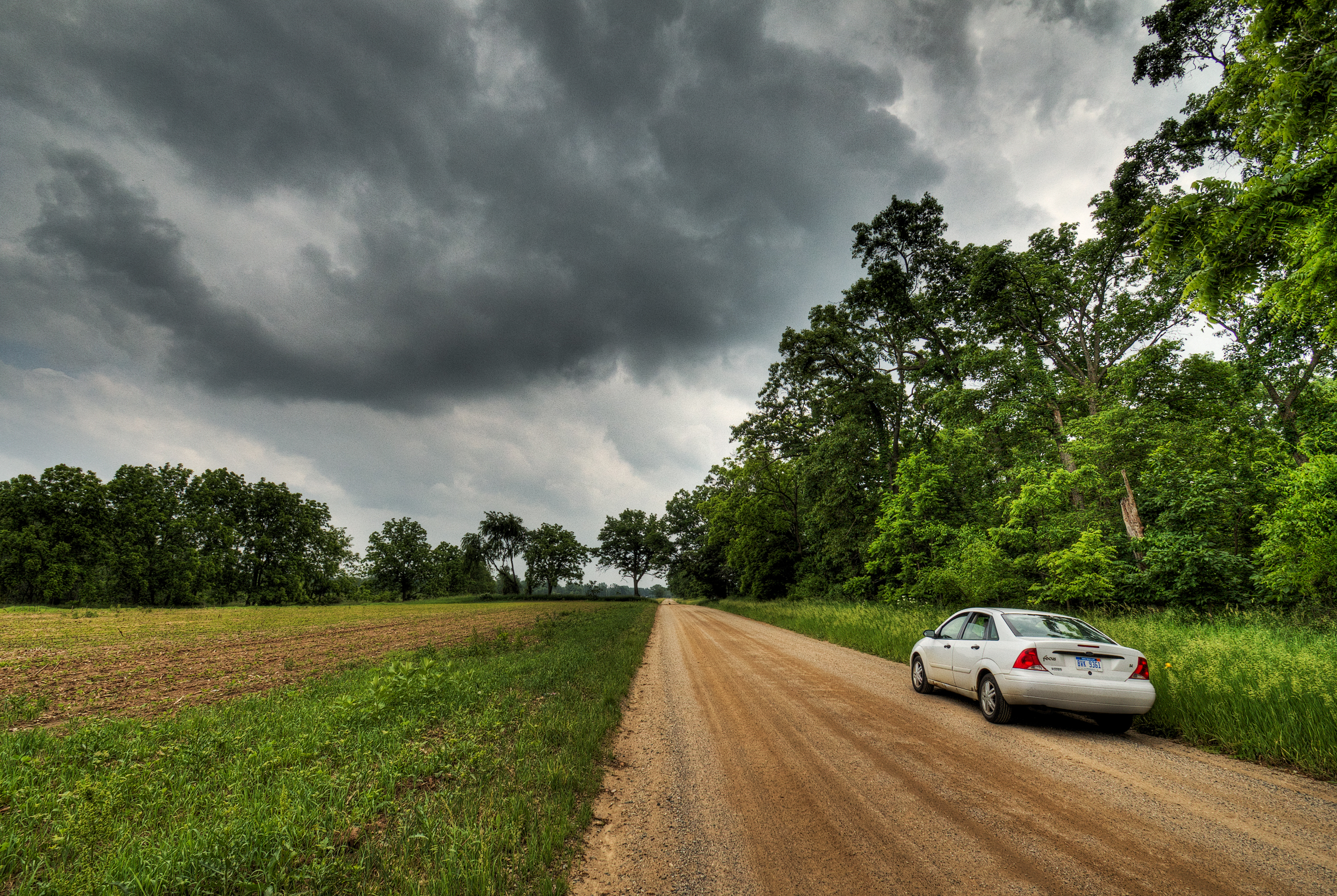
Riders on the Storm
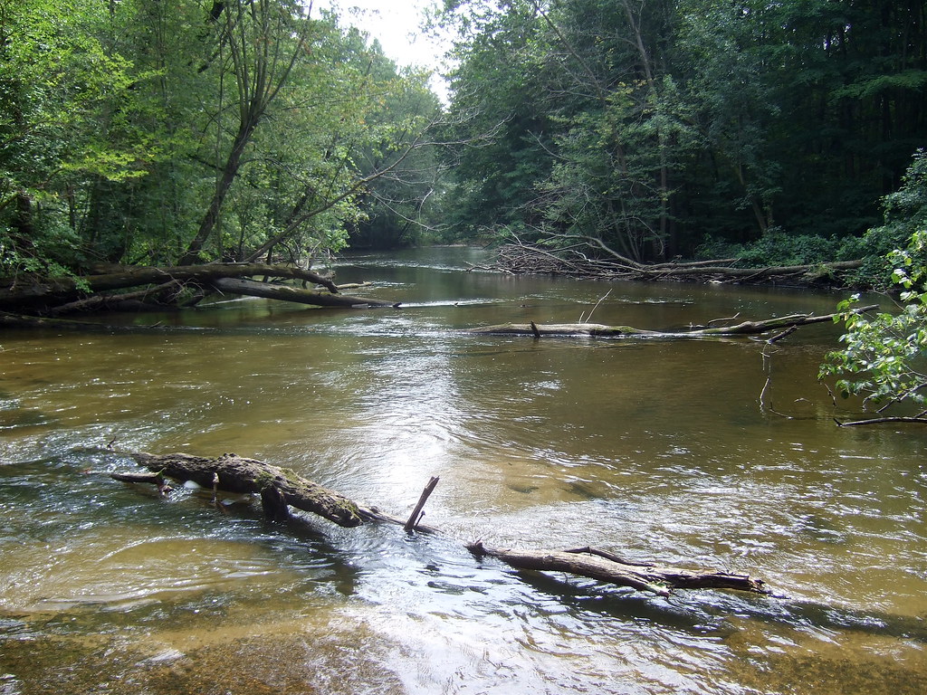
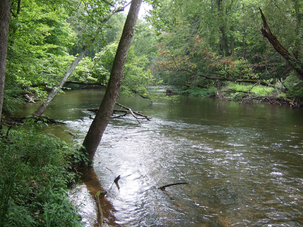
Fawn Darner habitat on the Coldwater River
Riverbend County Park

Hodunk Pond
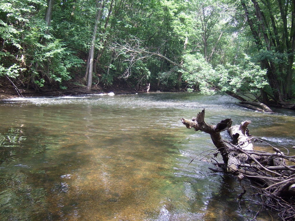
Coldwater River riffles

Lake marsh
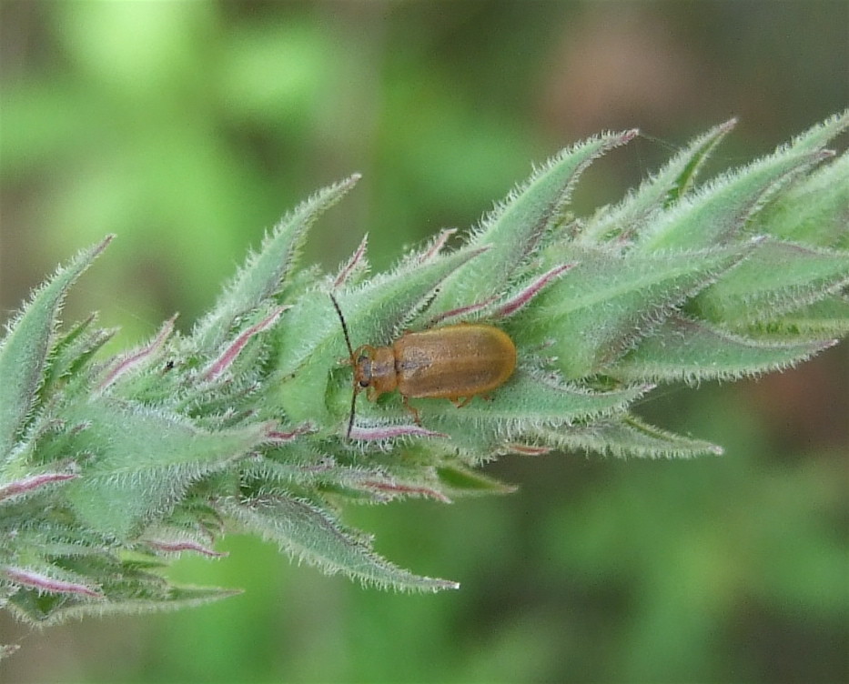
Purple Loosestrife Beetle
Topographic Map of W Randall St, Tekonsha, MI, USA
Find elevation by address:

Places near W Randall St, Tekonsha, MI, USA:
Tekonsha
Tekonsha Township
Girard Township
752 King Rd
Fredonia Township
Hodunk Rd, Coldwater, MI, USA
Butler Township
27 Parsons Ct
N Broadway St, Union City, MI, USA
163 Marshall St
305 Francisco Rd
Union City
Union
Coldwater
133 E Pearl St
1 E Chicago St, Quincy, MI, USA
Branch County
Condit Rd, Homer, MI, USA
Ovid Township
380 Collard Ln
Recent Searches:
- Elevation of Luther Road, Luther Rd, Auburn, CA, USA
- Elevation of Unnamed Road, Respublika Severnaya Osetiya — Alaniya, Russia
- Elevation of Verkhny Fiagdon, North Ossetia–Alania Republic, Russia
- Elevation of F. Viola Hiway, San Rafael, Bulacan, Philippines
- Elevation of Herbage Dr, Gulfport, MS, USA
- Elevation of Lilac Cir, Haldimand, ON N3W 2G9, Canada
- Elevation of Harrod Branch Road, Harrod Branch Rd, Kentucky, USA
- Elevation of Wyndham Grand Barbados Sam Lords Castle All Inclusive Resort, End of Belair Road, Long Bay, Bridgetown Barbados
- Elevation of Iga Trl, Maggie Valley, NC, USA
- Elevation of N Co Rd 31D, Loveland, CO, USA