Elevation of W Quaker Rd, Keysville, GA, USA
Location: United States > Georgia > Burke County > Keysville >
Longitude: -82.167574
Latitude: 33.148199
Elevation: 109m / 358feet
Barometric Pressure: 100KPa
Elevation Map:
Satellite Map:
Related Photos:
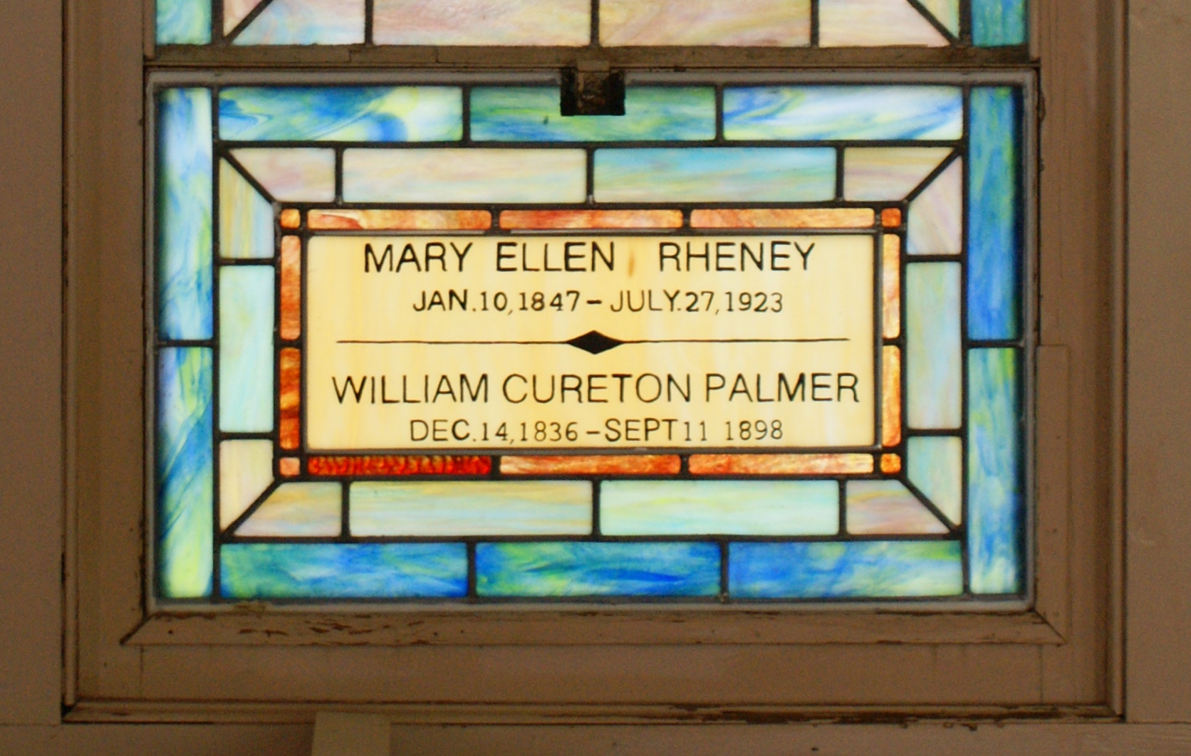
Clarks Chapel - Stained Glass Window, Close View

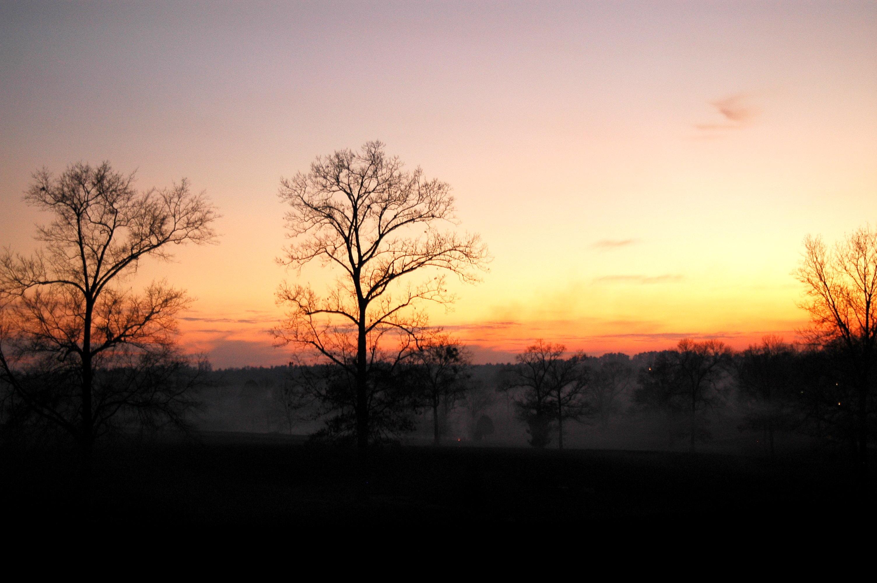
Fulcher Road Sunset Scene
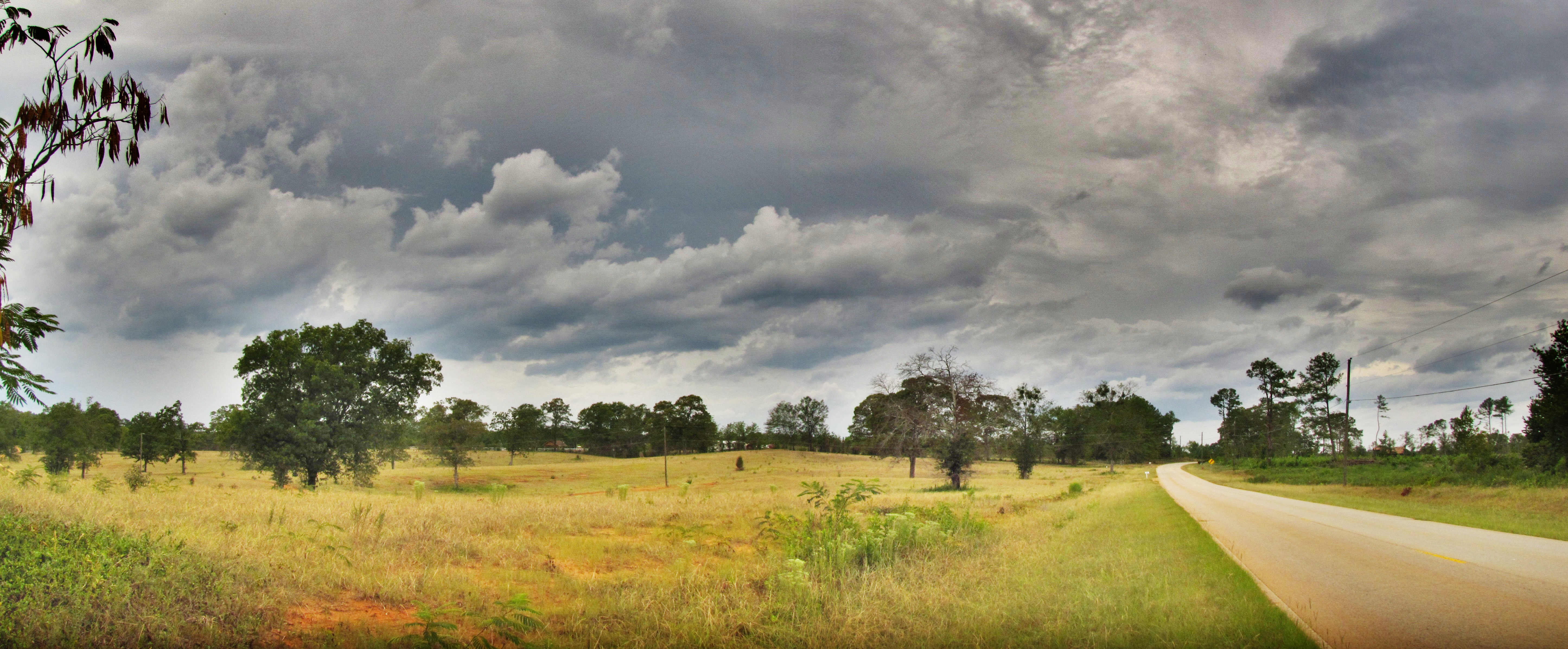
HDR of Fulcher Road

I'm back!
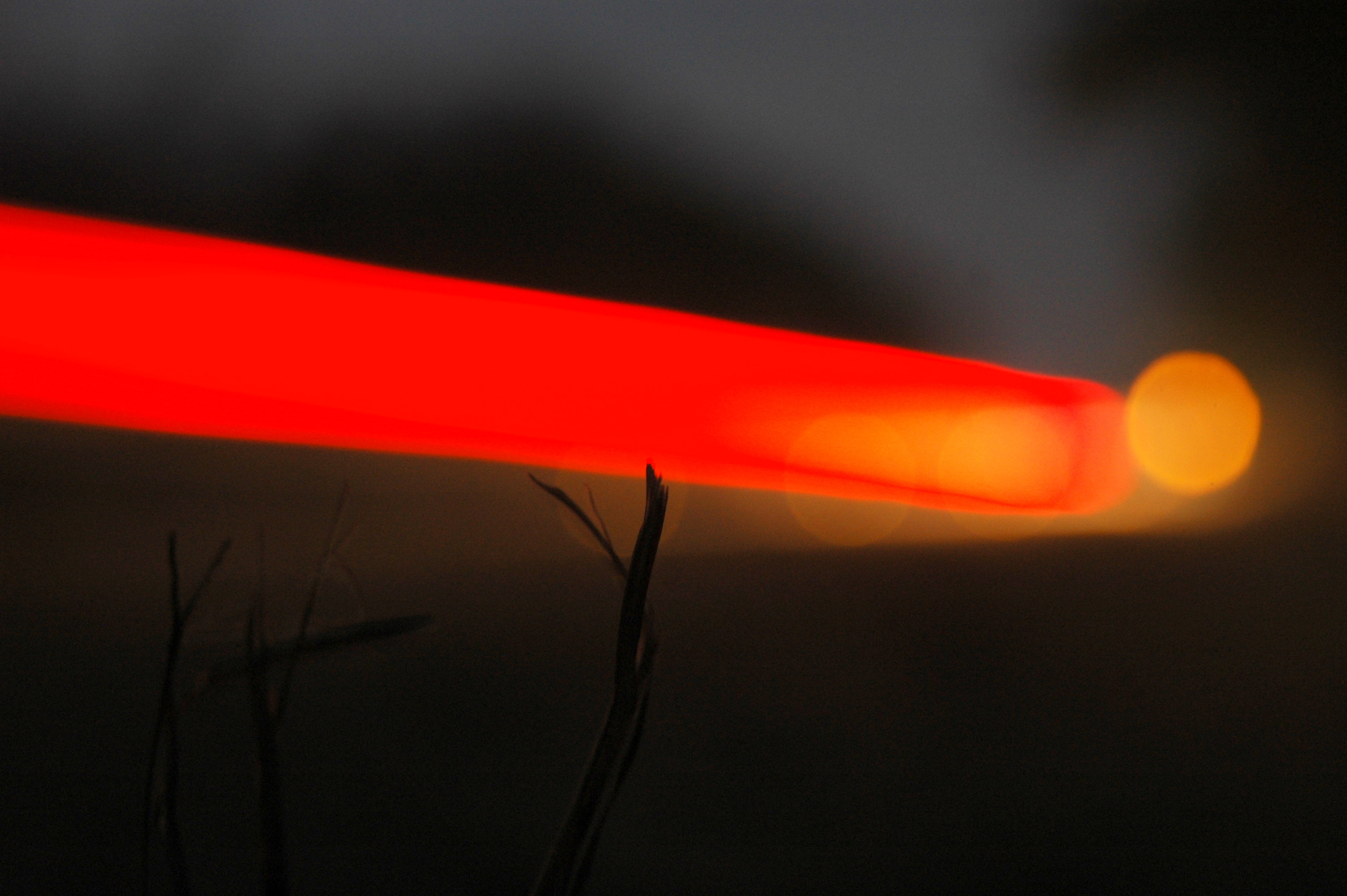
Fire on Fulcher

Tornado Weather
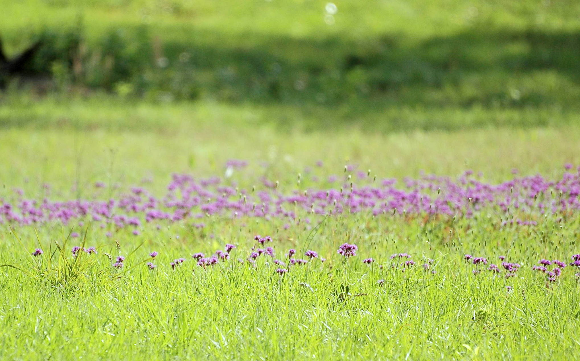
Field of Flowers
This Bozeman Parks and Rec truck came dangerously close to me and also even closer to the person riding a bike in front of me. She had words with him. Me ... going to draft a correspondance to some bozeman entities.

Jeremy Harkins

White-winged Crossbill. GMNH 7169. Burke County, 9 February 2013. Photo by Rachel Cass (Holzman)
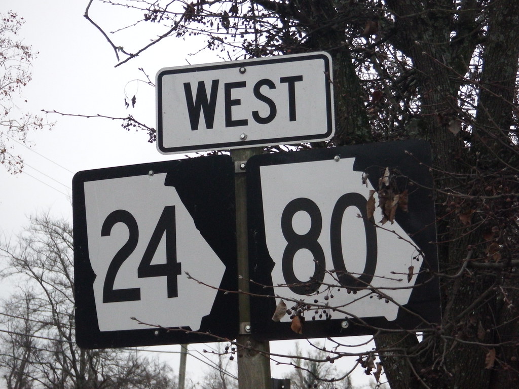
West GA 24/80

Waynesboro Christmas Tree
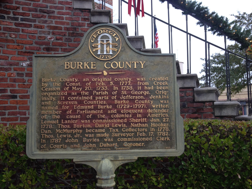
Burke County
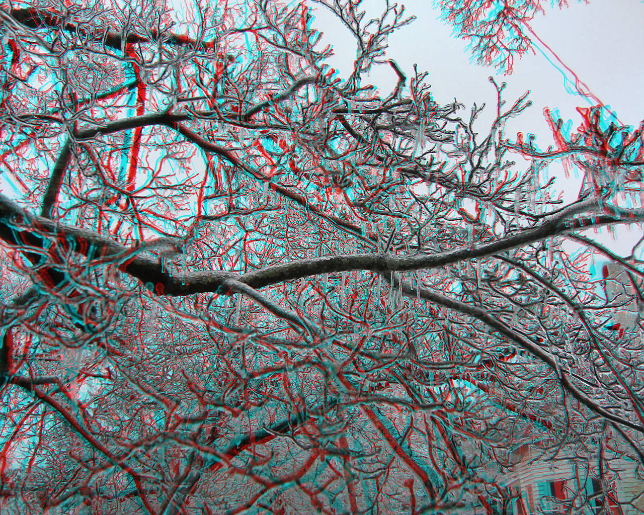
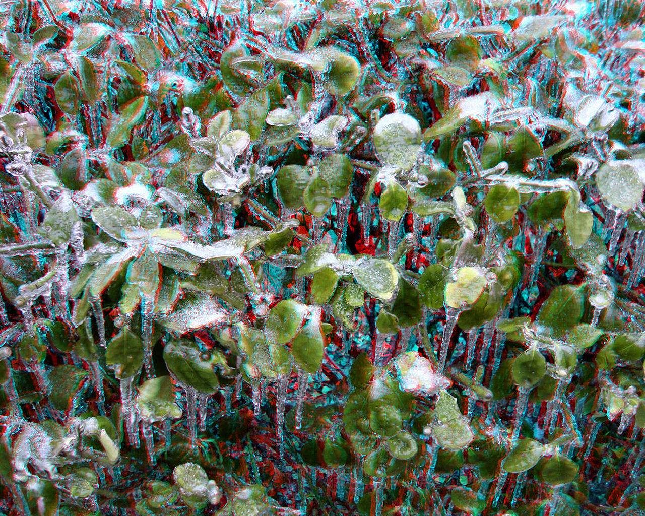
Waynesboro, Georgia 2014-02-12 Ice Storm Image 3D-01 (Anaglyph)

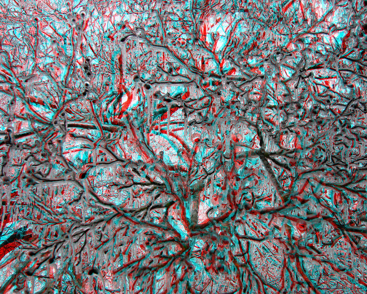
Waynesboro, Georgia 2014-02-12 Ice Storm Image 3D-02 (Anaglyph)
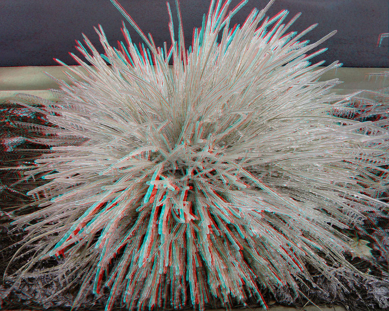
Waynesboro, Georgia 2014-02-12 Ice Storm Image 3D-03 (Anaglyph)
Waynesboro, Georgia 2014-02-12 Ice Storm Image 3D-04 (Anaglyph)
Waynesboro, Georgia 2014-02-12 Ice Storm Image 3D-05 (Anaglyph)
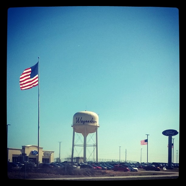
Worlds biggest flag at an important site? Its a ford dealership.
An Accident
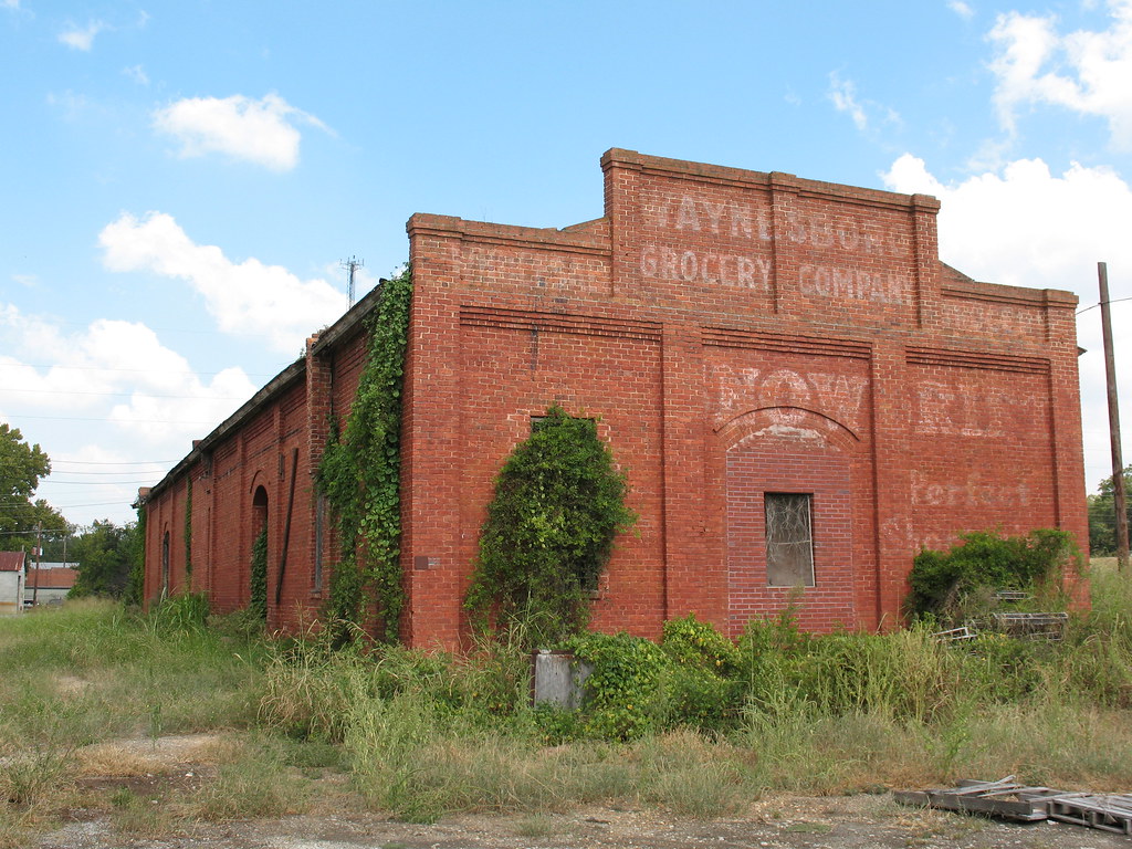
Waynesboro GA Grocery Co 2
836 miles, 13 hours and 14 minutes later we made it home from Georgia.
Topographic Map of W Quaker Rd, Keysville, GA, USA
Find elevation by address:

Places near W Quaker Rd, Keysville, GA, USA:
Fendig St, Keysville, GA, USA
GA-24, Waynesboro, GA, USA
Story Mill Rd, Keysville, GA, USA
Keysville
Center St, Keysville, GA, USA
4668 Fulcher Rd
4620 Fulcher Rd
4610 Fulcher Rd
Antlers Trail
Vidette
GA-, Louisville, GA, USA
Lovers Lane
Blythe
Ginhouse Rd, Blythe, GA, USA
Farmers Bridge
Baduly Street
Waynesboro
Campground Rd, Wrens, GA, USA
Middleground Rd, Waynesboro, GA, USA
127 Spring Valley Rd
Recent Searches:
- Elevation of Elwyn Dr, Roanoke Rapids, NC, USA
- Elevation of Congressional Dr, Stevensville, MD, USA
- Elevation of Bellview Rd, McLean, VA, USA
- Elevation of Stage Island Rd, Chatham, MA, USA
- Elevation of Shibuya Scramble Crossing, 21 Udagawacho, Shibuya City, Tokyo -, Japan
- Elevation of Jadagoniai, Kaunas District Municipality, Lithuania
- Elevation of Pagonija rock, Kranto 7-oji g. 8"N, Kaunas, Lithuania
- Elevation of Co Rd 87, Jamestown, CO, USA
- Elevation of Tenjo, Cundinamarca, Colombia
- Elevation of Côte-des-Neiges, Montreal, QC H4A 3J6, Canada