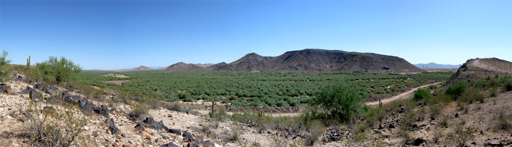
Elevation of W Old Hwy 80, Palo Verde, AZ, USA
Location: United States > Arizona > Maricopa County >
Longitude: -112.72609
Latitude: 33.348326
Elevation: 259m / 850feet
Barometric Pressure: 98KPa
Elevation Map:
Satellite Map:
Related Photos:

Laurisden Air Museum - Buckeye, Arizona.

Palo Verde Power Station
Tonopah Steam

Gilded Flicker
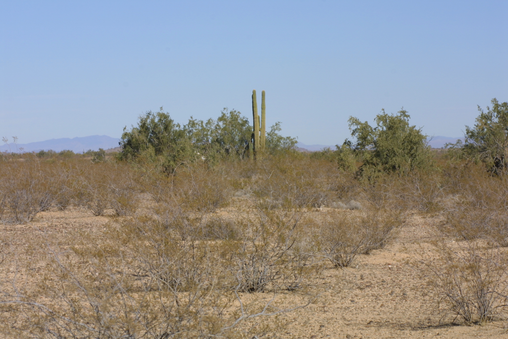
sonoran desert vegetation, Buckeye nr Phoenix, AZ, 2001_12_26 (1 of 2).jpg
Le Conte's Thrasher habitat near Buckeye

Arizona Landscape

Pic taken from the car

Recurring theme at Robbins Butte

The Old US 80 04-08-2010
Gila Trail

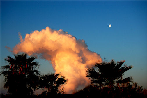
Smoke Stacks? Nuclear tests? Con trails? What new hell is being unleashed?!#bearsontheroad #roadtripparanoia
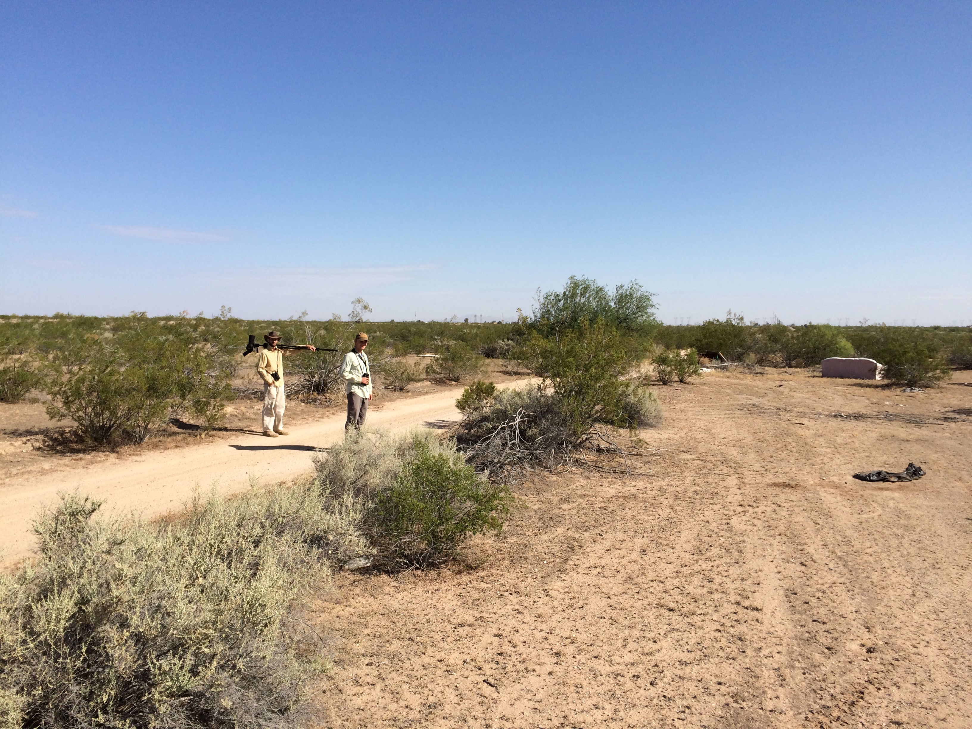
Hangin' at the park

The Old US 80 03-29-2010
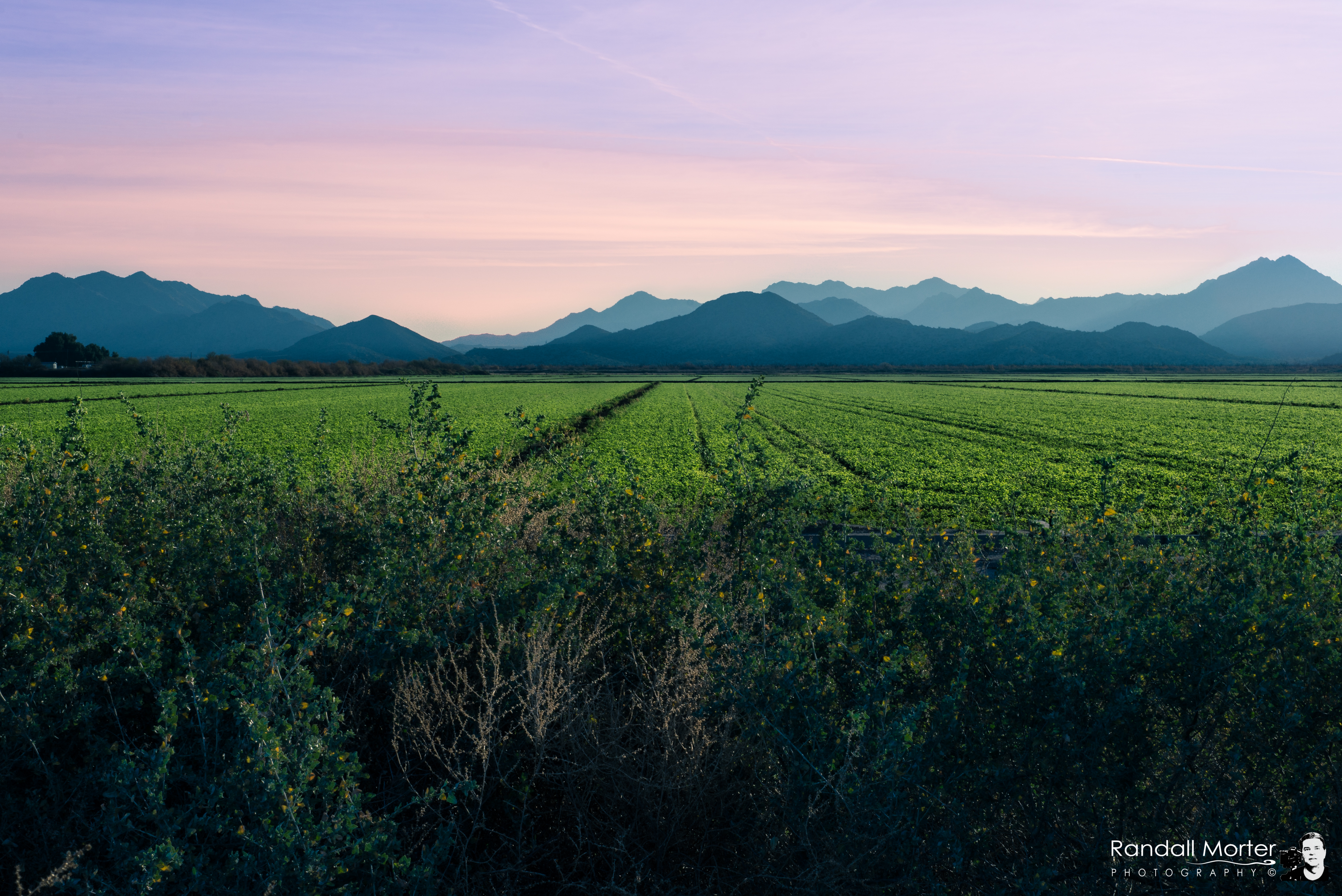
Arizona Pasture

Buckeye , Arizona Usa

Truck_082612_LR-109.jpg

2. Petroglyphs near Old US Hwy 80 just northwest of Gillespie Dam
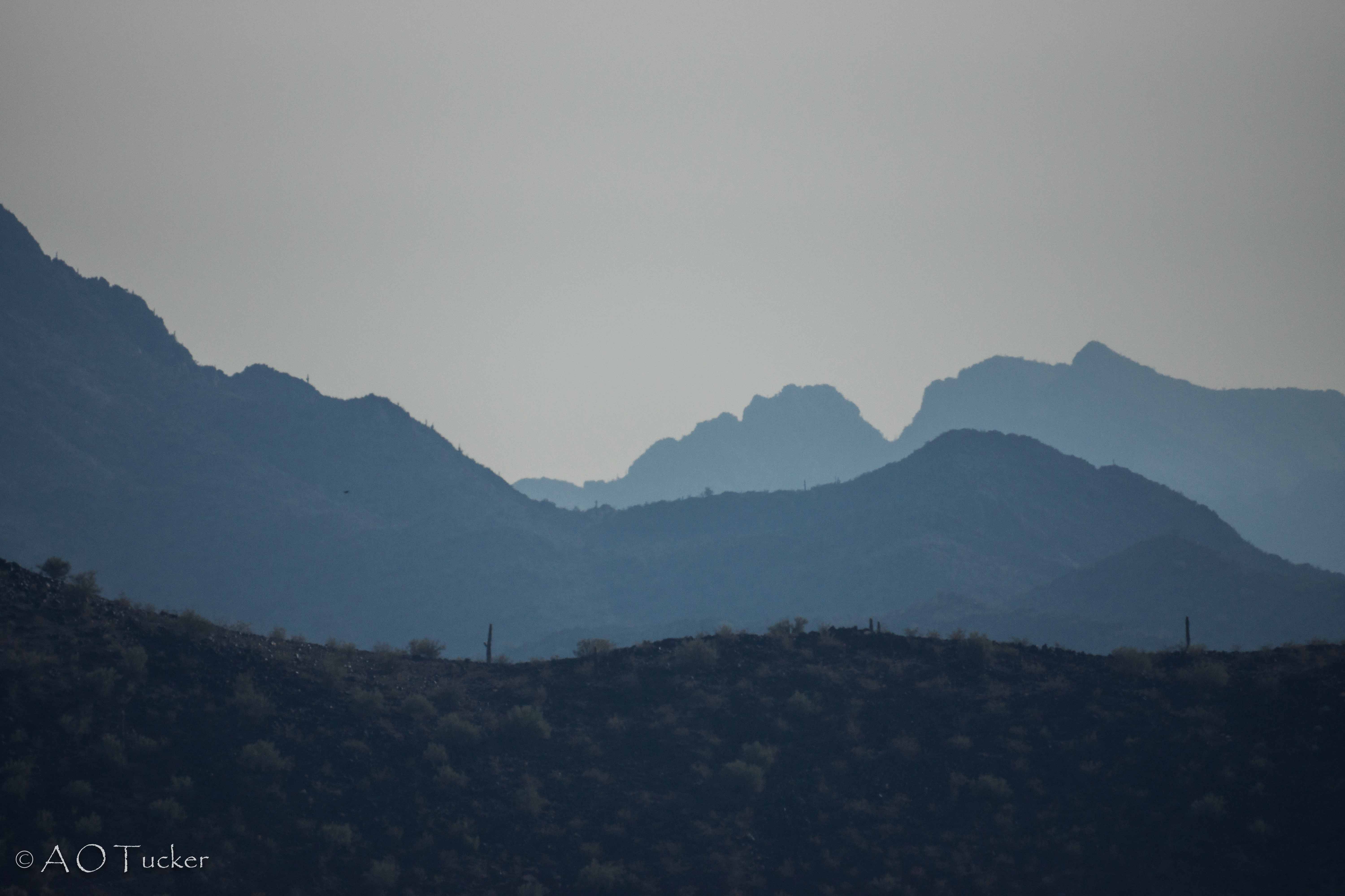
Black Hill And Layers
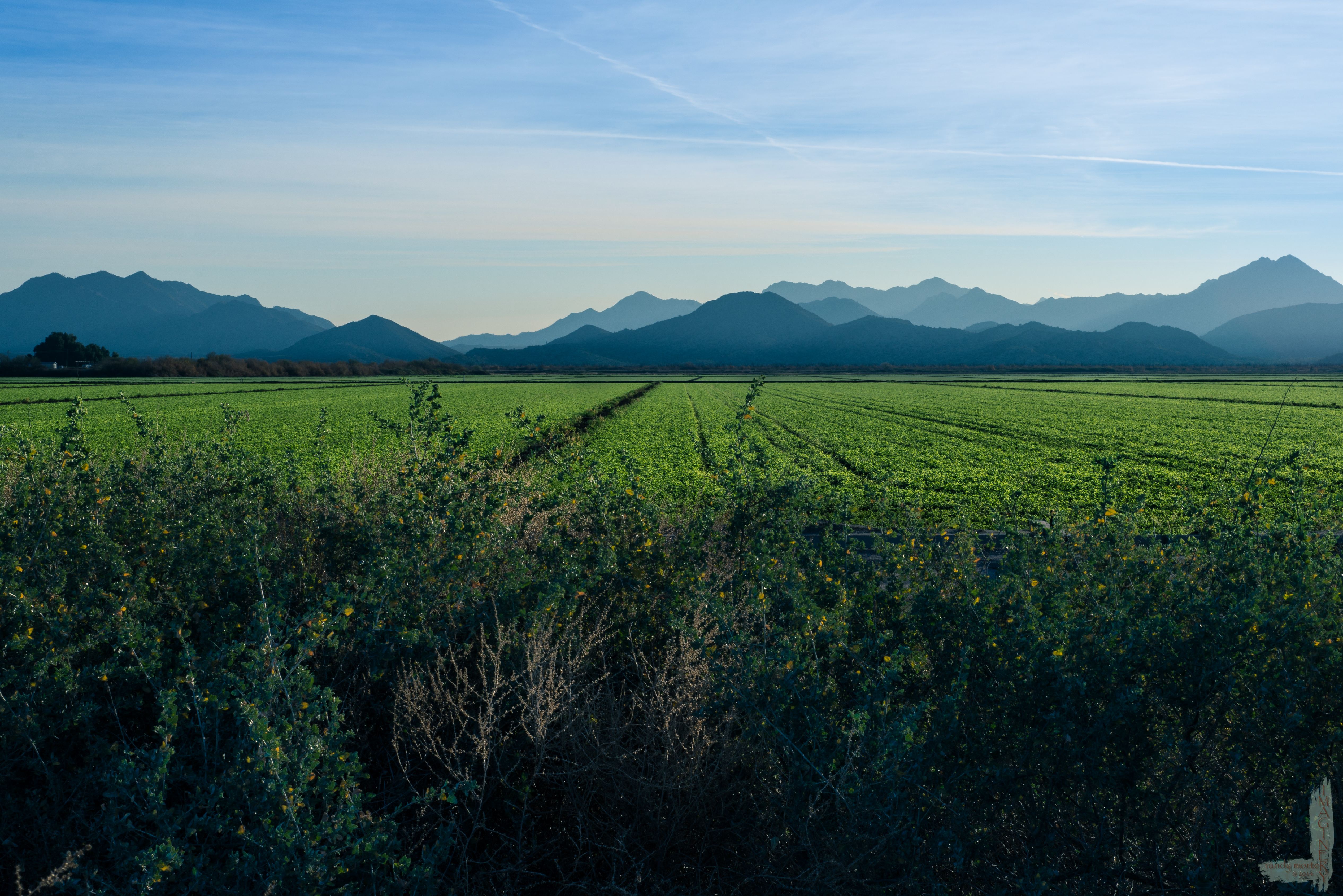
Arizona Pasture

Saguaro Cactus at Buckeye Hills Recreation Area, Maricopa County, Arizona_ P7170862
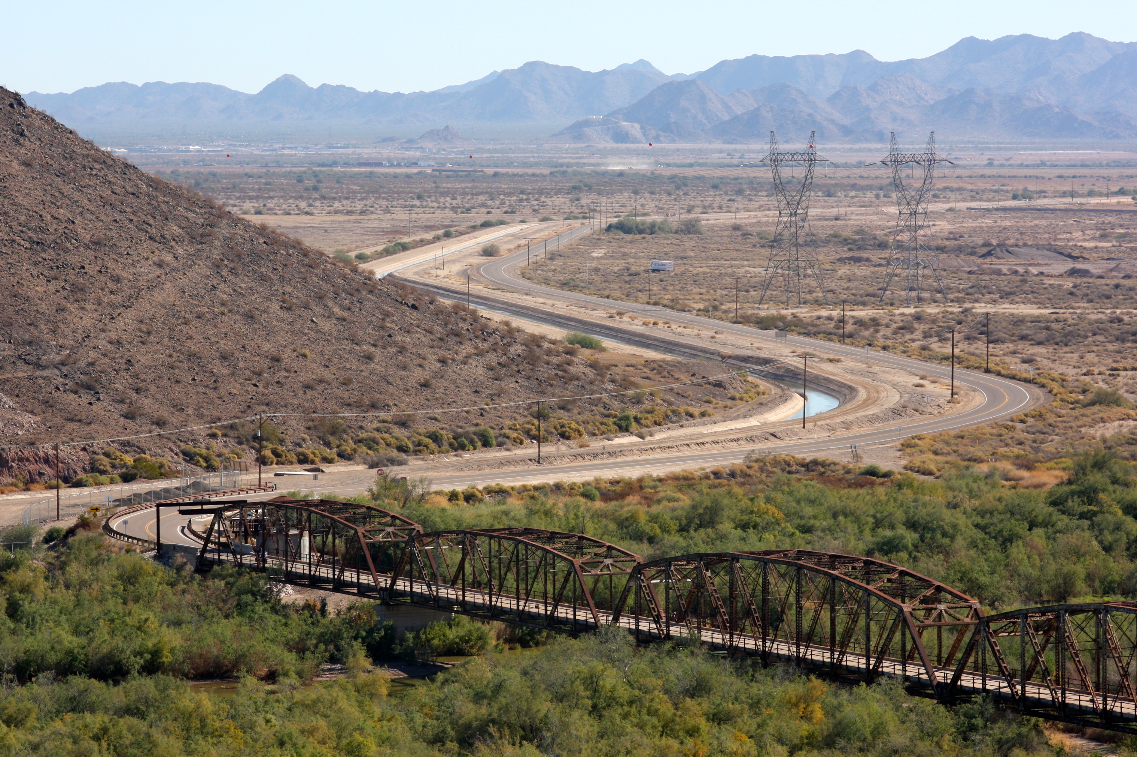
Gila River

The Old US 80 03-29-2010

Gila River

After the rain, a rainbow

Buckeye Hills Recreation Area, Maricopa County, Arizona_P7159393cc
Topographic Map of W Old Hwy 80, Palo Verde, AZ, USA
Find elevation by address:

Places near W Old Hwy 80, Palo Verde, AZ, USA:
29702 W Old Hwy 80
Arlington
Palo Verde
5339 S 330th Ave
8203 S 347th Ave
26700 Buckeye Hills Dr
North 339th Avenue
S Miller Rd, Buckeye, AZ, USA
West Victory Street
Tartesso
3583 N Brooklyn Dr
3583 N Brooklyn Dr
Westpark
E Monroe Ave, Buckeye, AZ, USA
Buckeye
1132 N 358th Ave
30098 W Fairmount Ave
Valley View Ranchettes
Buckeye, AZ, USA
35203 W Indian School Rd
Recent Searches:
- Elevation of E Brightview Ave, Pittsburgh, PA, USA
- Elevation of Cavendish Rd, Harringay Ladder, London N4 1RR, UK
- Elevation of 1 Zion Park Blvd, Springdale, UT, USA
- Elevation of Ganderbal
- Elevation map of Konkan Division, Maharashtra, India
- Elevation of Netaji Nagar, Hallow Pul, Kurla, Mumbai, Maharashtra, India
- Elevation of Uralsk, Kazakhstan
- Elevation of 45- Kahana Dr, Honokaa, HI, USA
- Elevation of New Mexico 30, NM-30, Española, NM, USA
- Elevation of Santmyer Way, Charles Town, WV, USA