Elevation of W Morgan Heights Rd, Carthage, MO, USA
Location: United States > Missouri > Jasper County > Marion Township > Carthage >
Longitude: -94.341541
Latitude: 37.1673742
Elevation: 306m / 1004feet
Barometric Pressure: 98KPa
Elevation Map:
Satellite Map:
Related Photos:

golden morning 1

DeSoto Plymouth - Route 66, Carthage, Missouri

Jasper County Courthouse - No. 1

An instant, I dreamed of escape.

Jasper County Courthouse - No. 3

Jasper County Courthouse - No. 2

Canon 500D vs Ricoh Theta S

Ricoh Theta S vs Canon 500D
Carthage Bridge: NB Deck View

Kendricktown Rock Station
Truck Stop- Side View
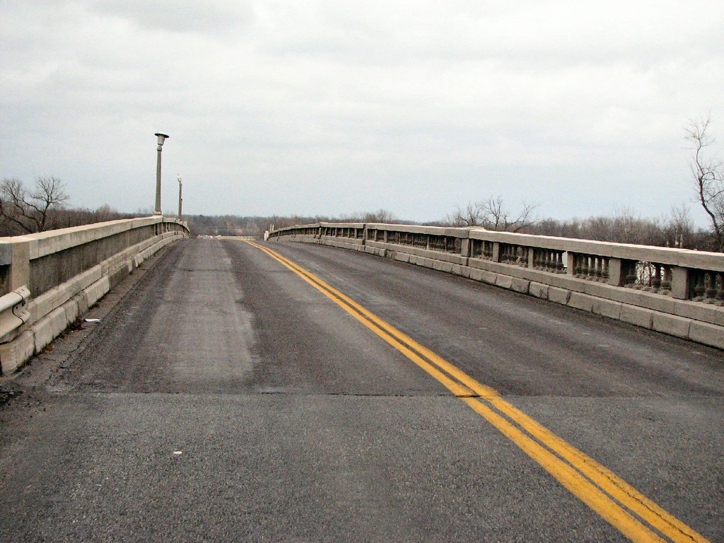
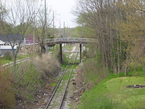
Carthage Bridge: Side View

Carthage Bridge: Deck View
BN 66 Bridge-Side View
Oak Street Bridge-Side View
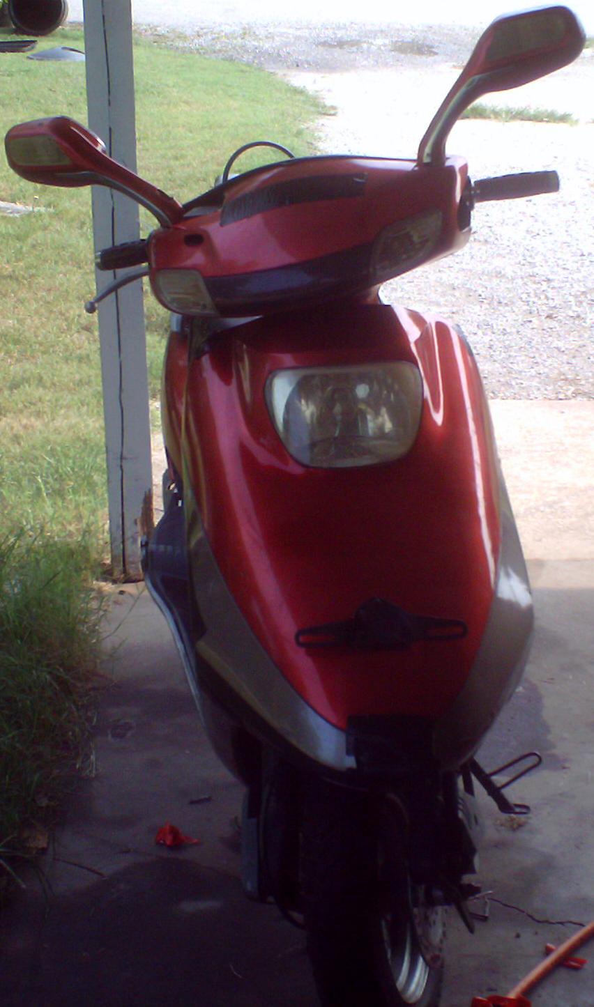
My 50cc Scooter - Front View
Stack o' Ramps

Forgotten Law
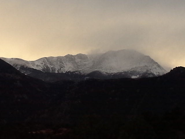
snow storm on pikes peak in Colorado. 10/12/13

home-4
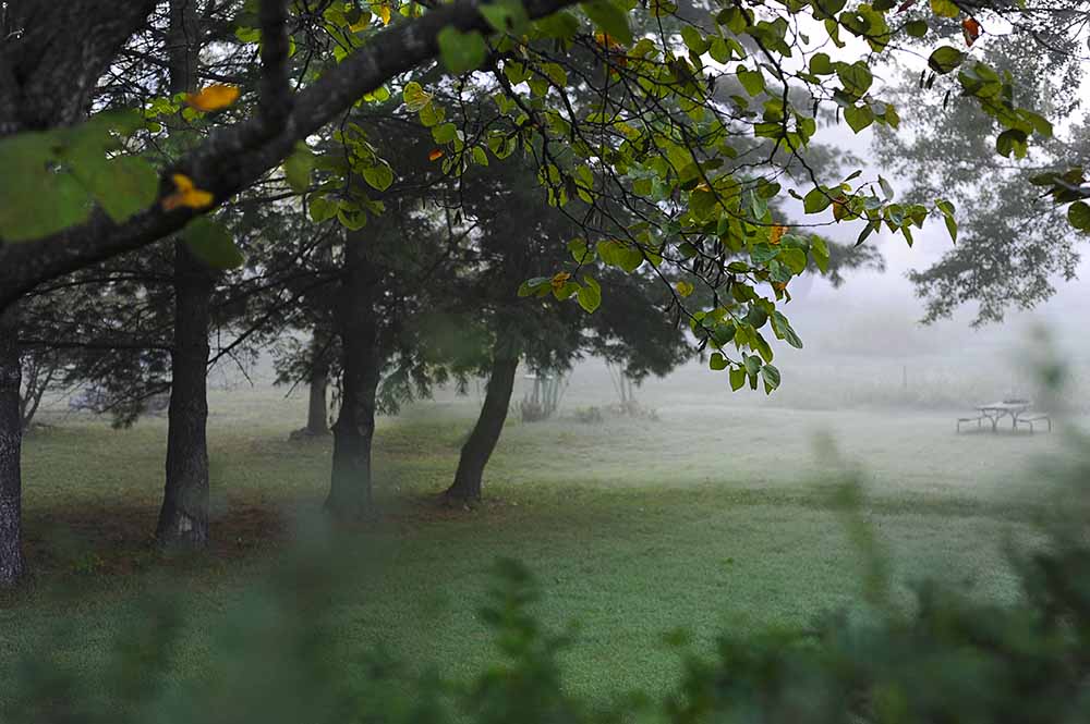
fall fog

home-6

Old 66 Drive-in Theater
Route 66
Route 66
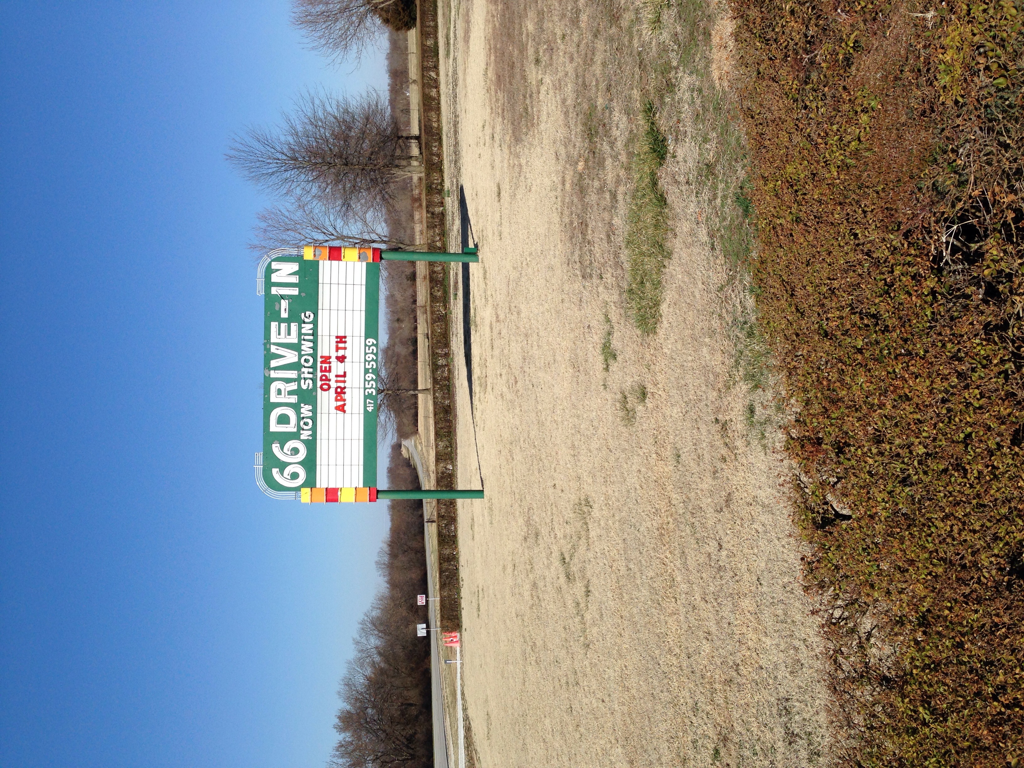
Old 66 Drive-in Theater

Sunrise over a formerly forested area
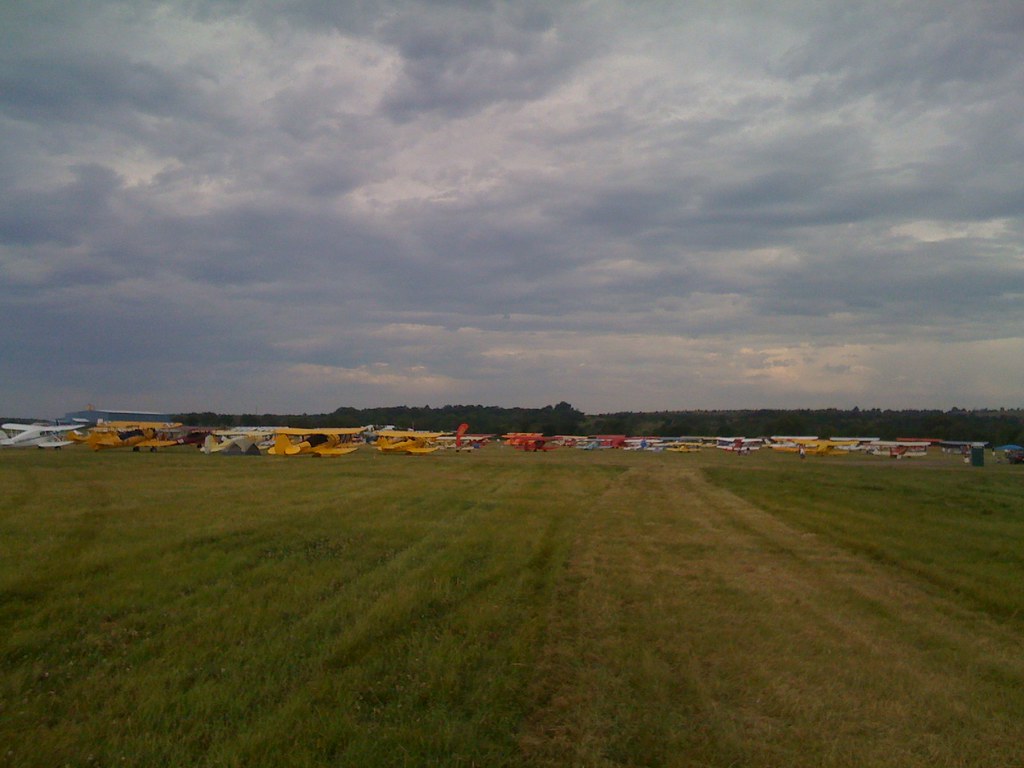
Here and ready to look at planes!
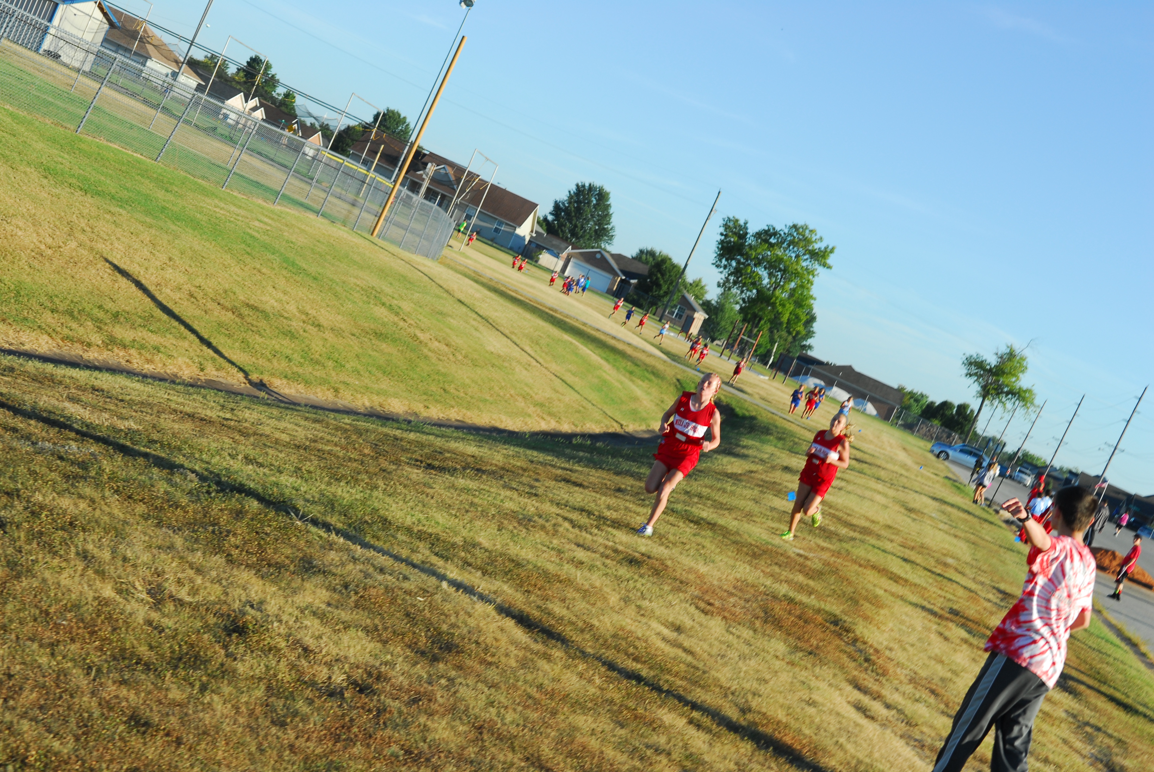
Carthage Invitational 2013 016

Sunset over Joplin, MO

Carthage Invitational 2013 037
Sights along Route 66 in Missouri
Carthage Invitational 2013 038
Dead End on 66

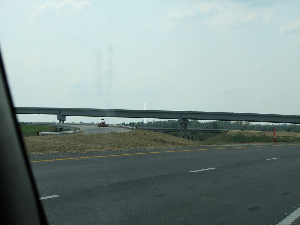
MO 249 Interchange

Carthage Invitational 2013 061
Battle of Carthage battleground

Precious Moments 34
Topographic Map of W Morgan Heights Rd, Carthage, MO, USA
Find elevation by address:

Places near W Morgan Heights Rd, Carthage, MO, USA:
W Fairview Ave, Carthage, MO, USA
Jasper County
State Highway 96
Schreiber Foods
Marion Township
Carthage
9277 County Lane 174
Dyno Nobel Inc
3125 Dr Russell Smith Way
N Garrison Ave, Carthage, MO, USA
Jackson Township
408 Fox Ridge Dr
Union Township
Main St, Purcell, MO, USA
Purcell
Mineral Township
Joplin Township
N Grand Ave, Neck City, MO, USA
Neck City
1814 W Aylor St
Recent Searches:
- Elevation of Leyte Industrial Development Estate, Isabel, Leyte, Philippines
- Elevation of W Granada St, Tampa, FL, USA
- Elevation of Pykes Down, Ivybridge PL21 0BY, UK
- Elevation of Jalan Senandin, Lutong, Miri, Sarawak, Malaysia
- Elevation of Bilohirs'k
- Elevation of 30 Oak Lawn Dr, Barkhamsted, CT, USA
- Elevation of Luther Road, Luther Rd, Auburn, CA, USA
- Elevation of Unnamed Road, Respublika Severnaya Osetiya — Alaniya, Russia
- Elevation of Verkhny Fiagdon, North Ossetia–Alania Republic, Russia
- Elevation of F. Viola Hiway, San Rafael, Bulacan, Philippines