Elevation of W McCarty St, Jefferson City, MO, USA
Location: United States > Missouri > Cole County > Jefferson Township > Jefferson City >
Longitude: -92.178108
Latitude: 38.578786
Elevation: 171m / 561feet
Barometric Pressure: 99KPa
Elevation Map:
Satellite Map:
Related Photos:
IMG_8761-2 copy
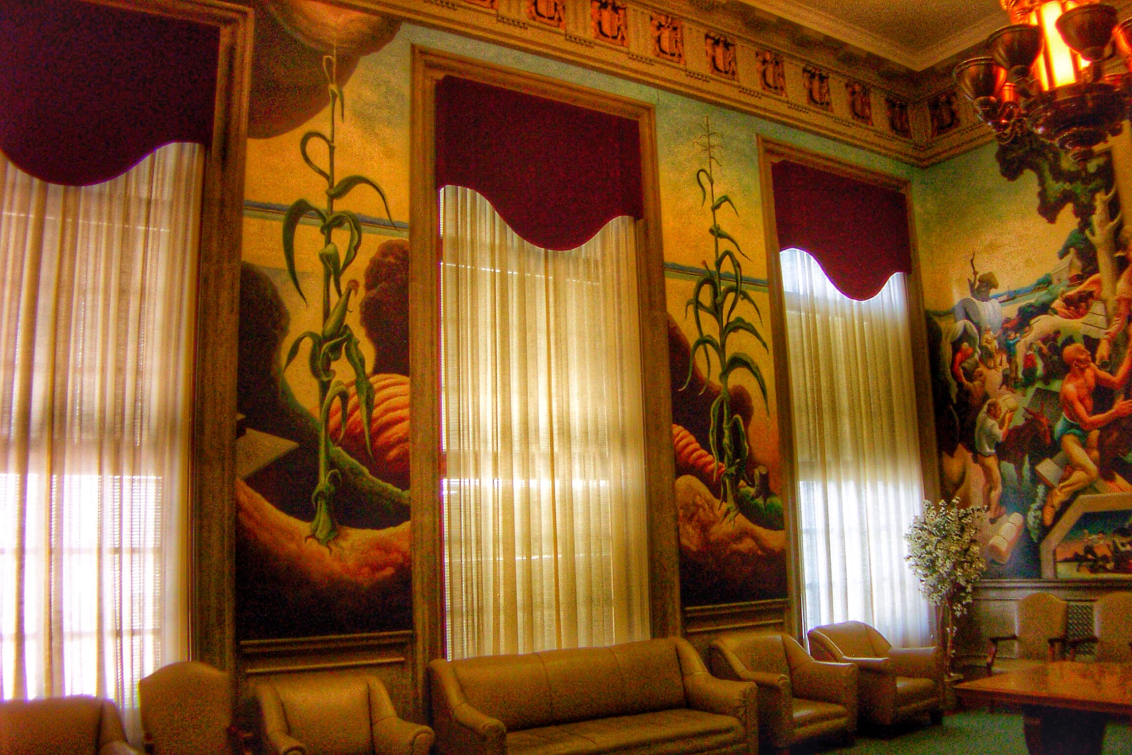
Jefferson City Missouri ~ State Capitol ~ The House Lounge
A Calm Spring Morning
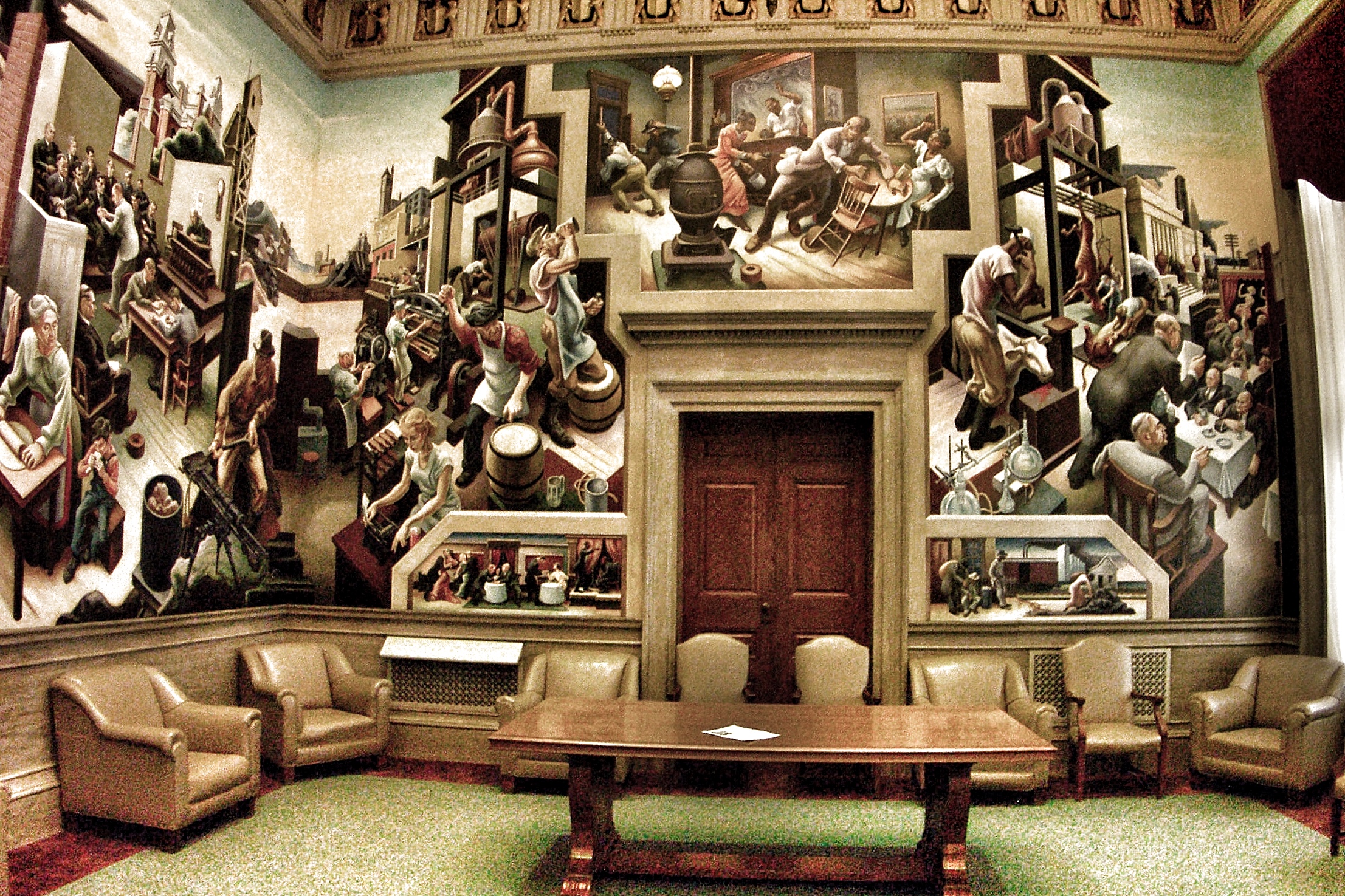
Jefferson City Missouri ~ State Capitol ~ The House Lounge

Partly Cloudy 9-28-10
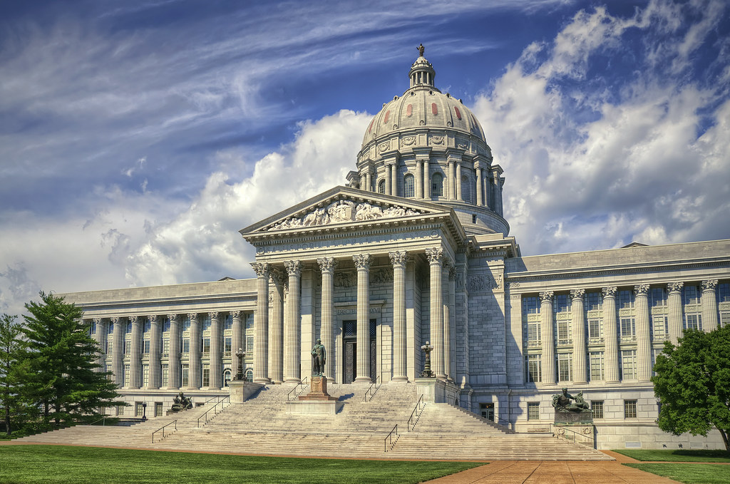
Missouri Capitol

Partly Cloudy 9-28-10
Partly Cloudy 9-28-10

9-16-14 4
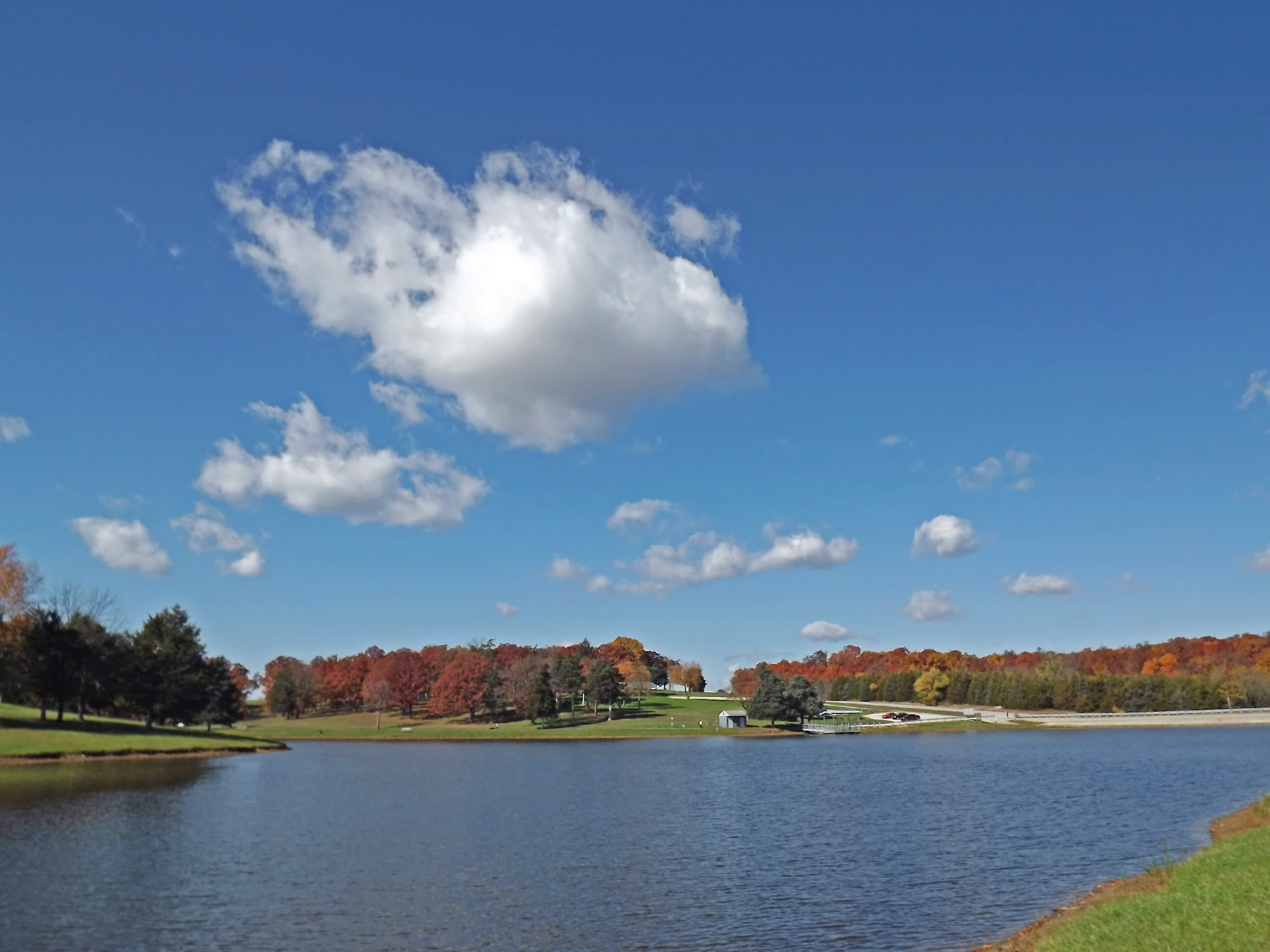
Fall 2013 in JC, MO

Time Flies
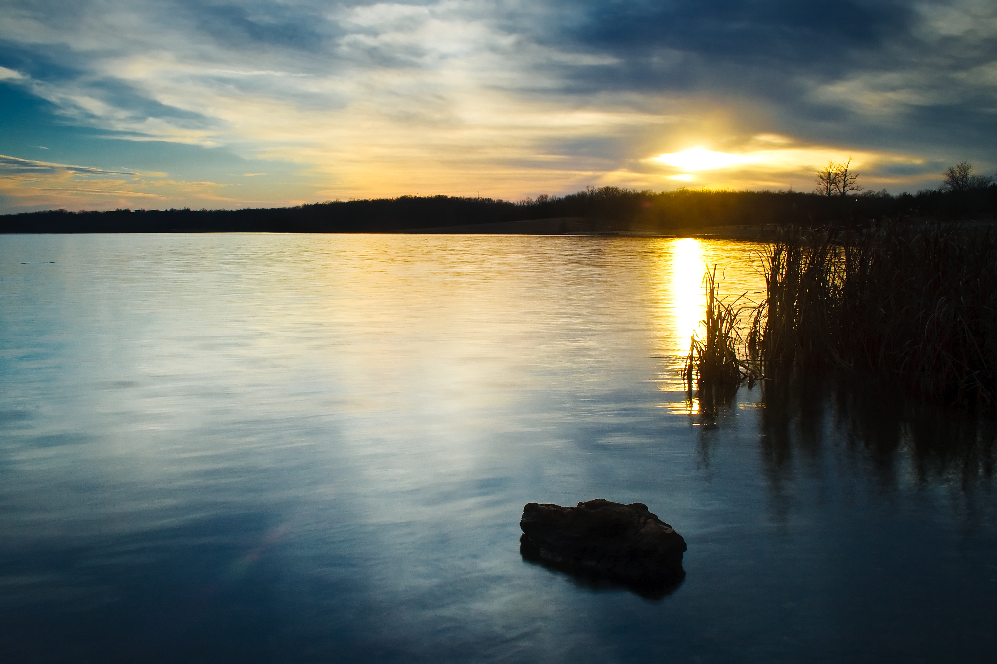
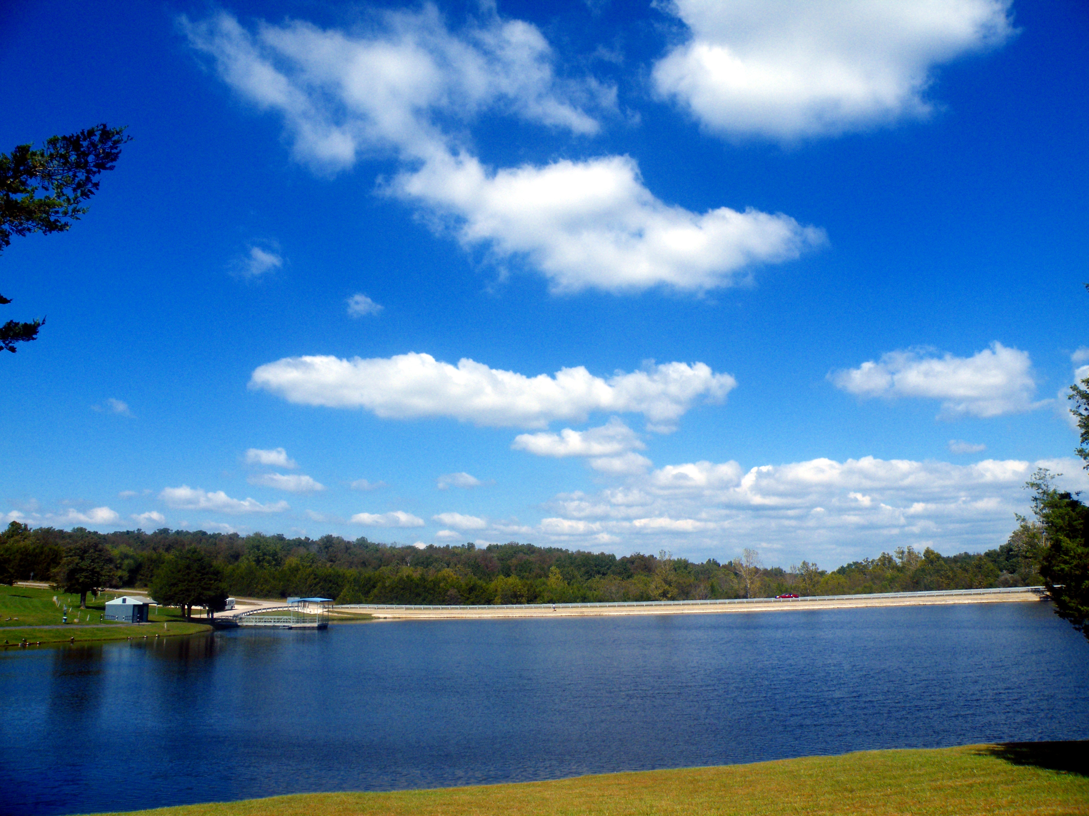
Binder Lake Sunset

Binder Lake Sunset
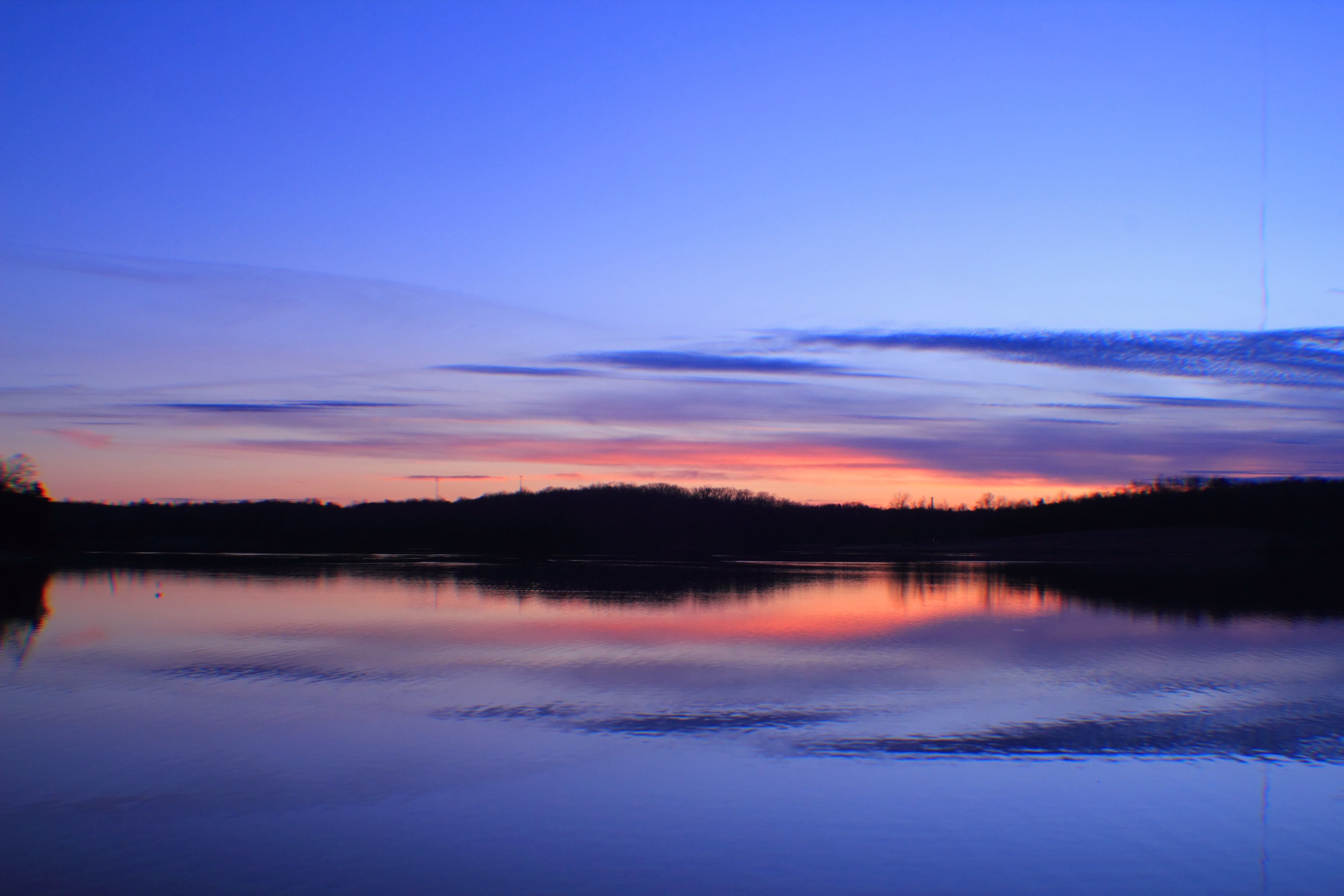
Binder Lake Sunset
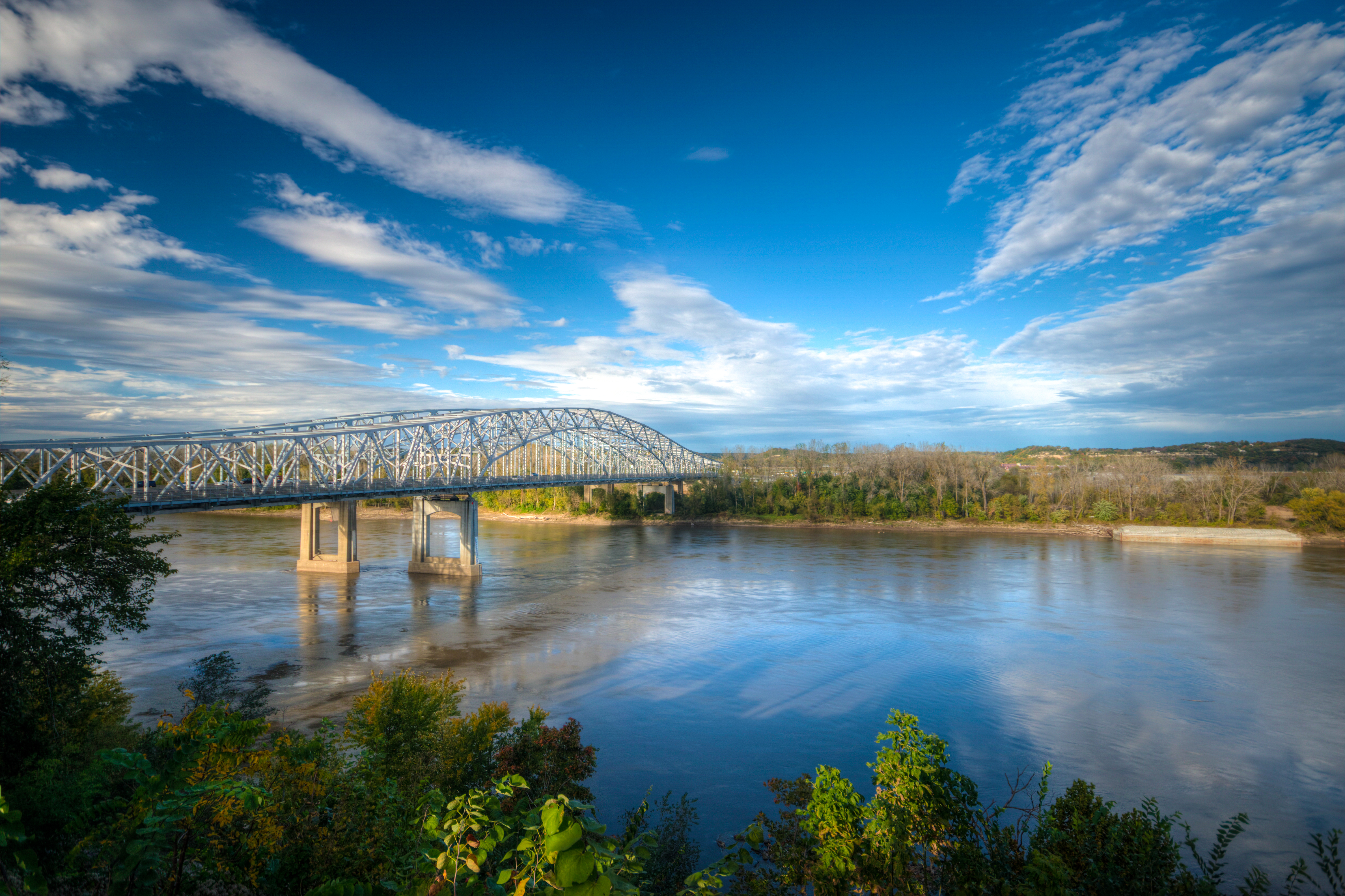
Jefferson City Bridge
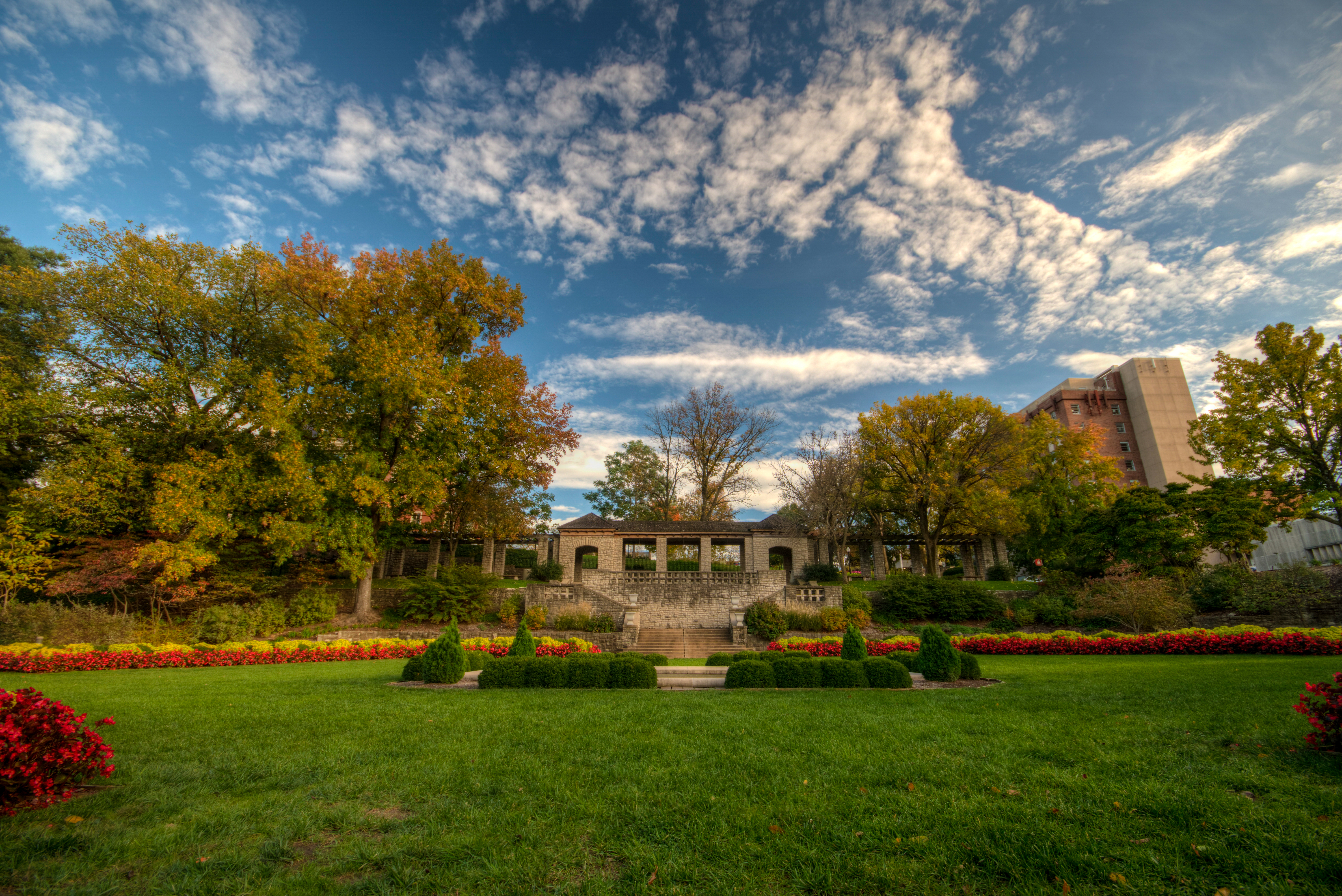
Carnahan Memorial Garden
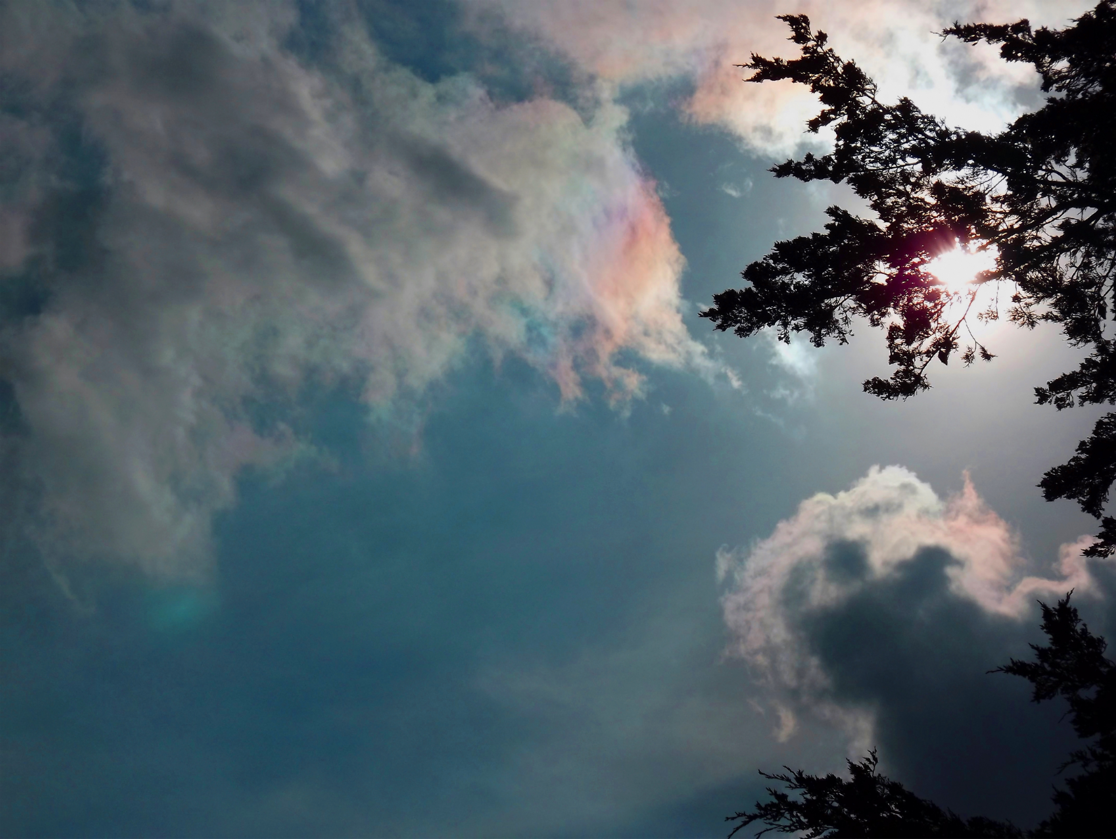
Iridescent Clouds
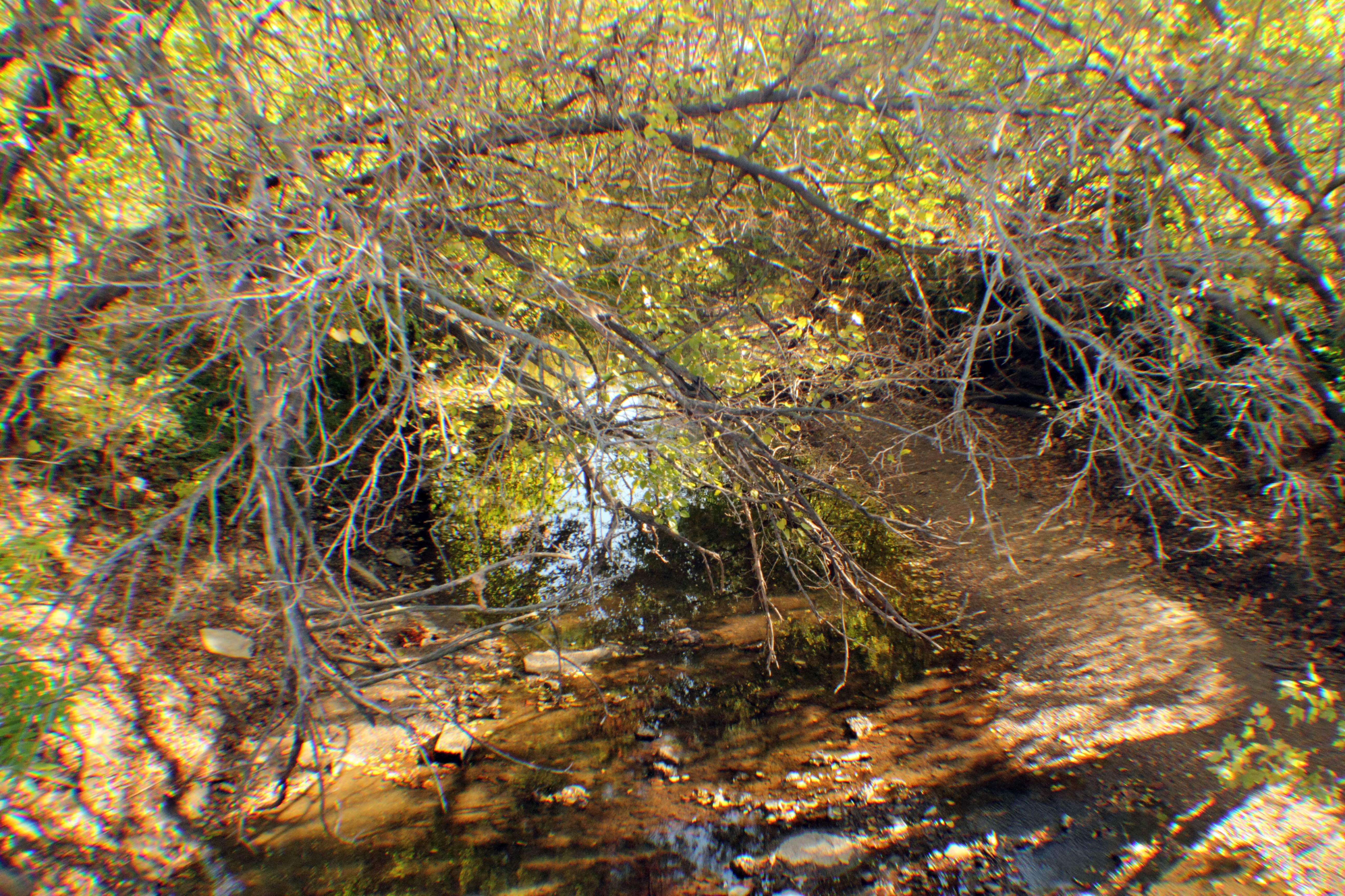
Wears Creek
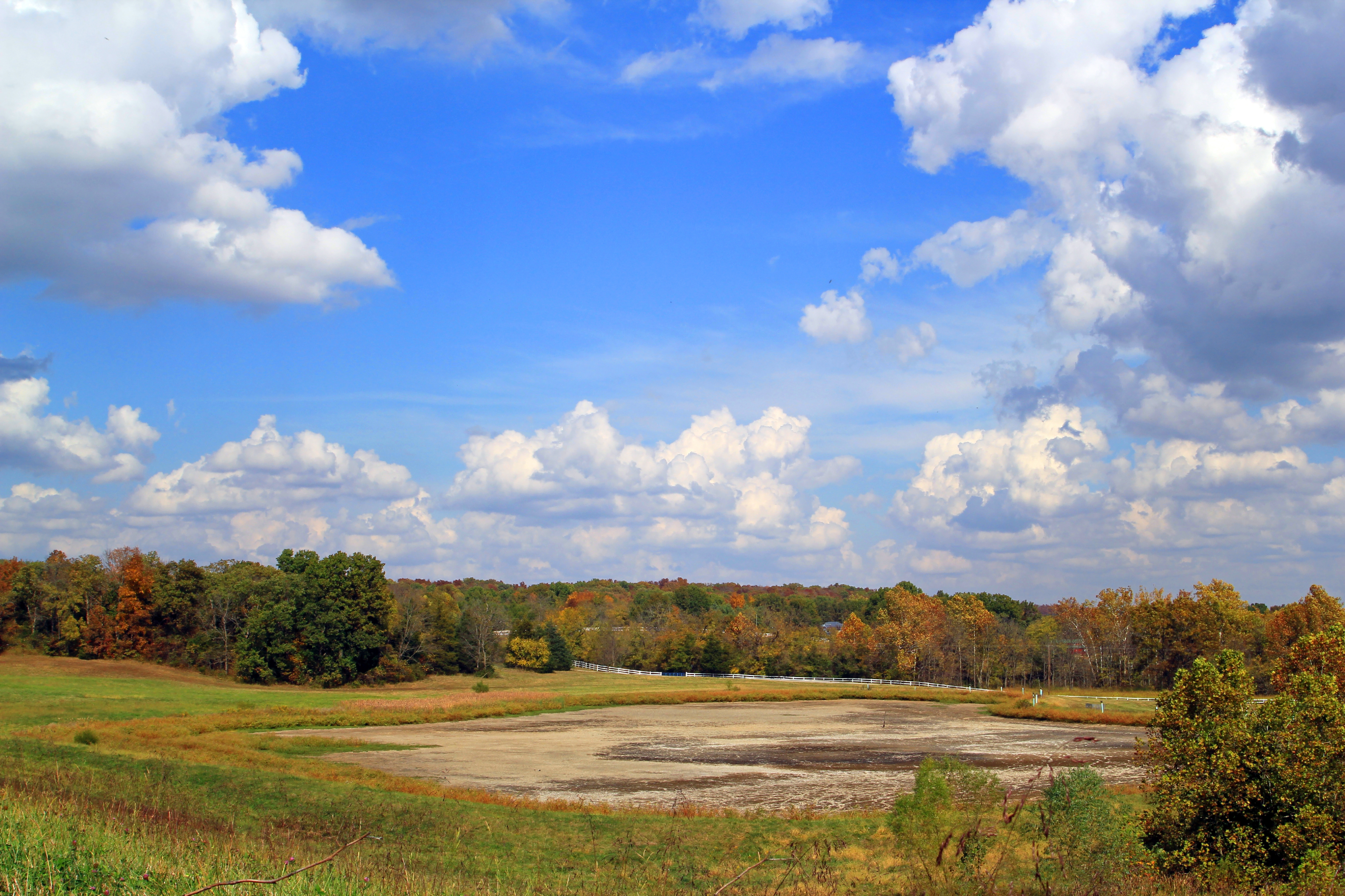
Partly Cloudy
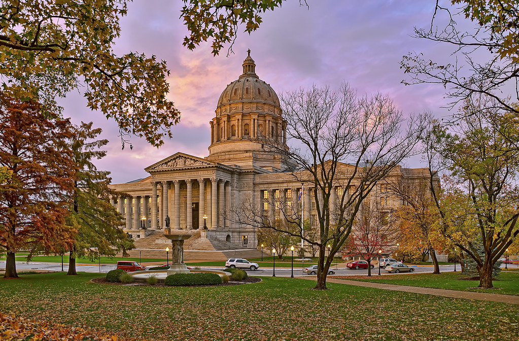
Missouri Capitol
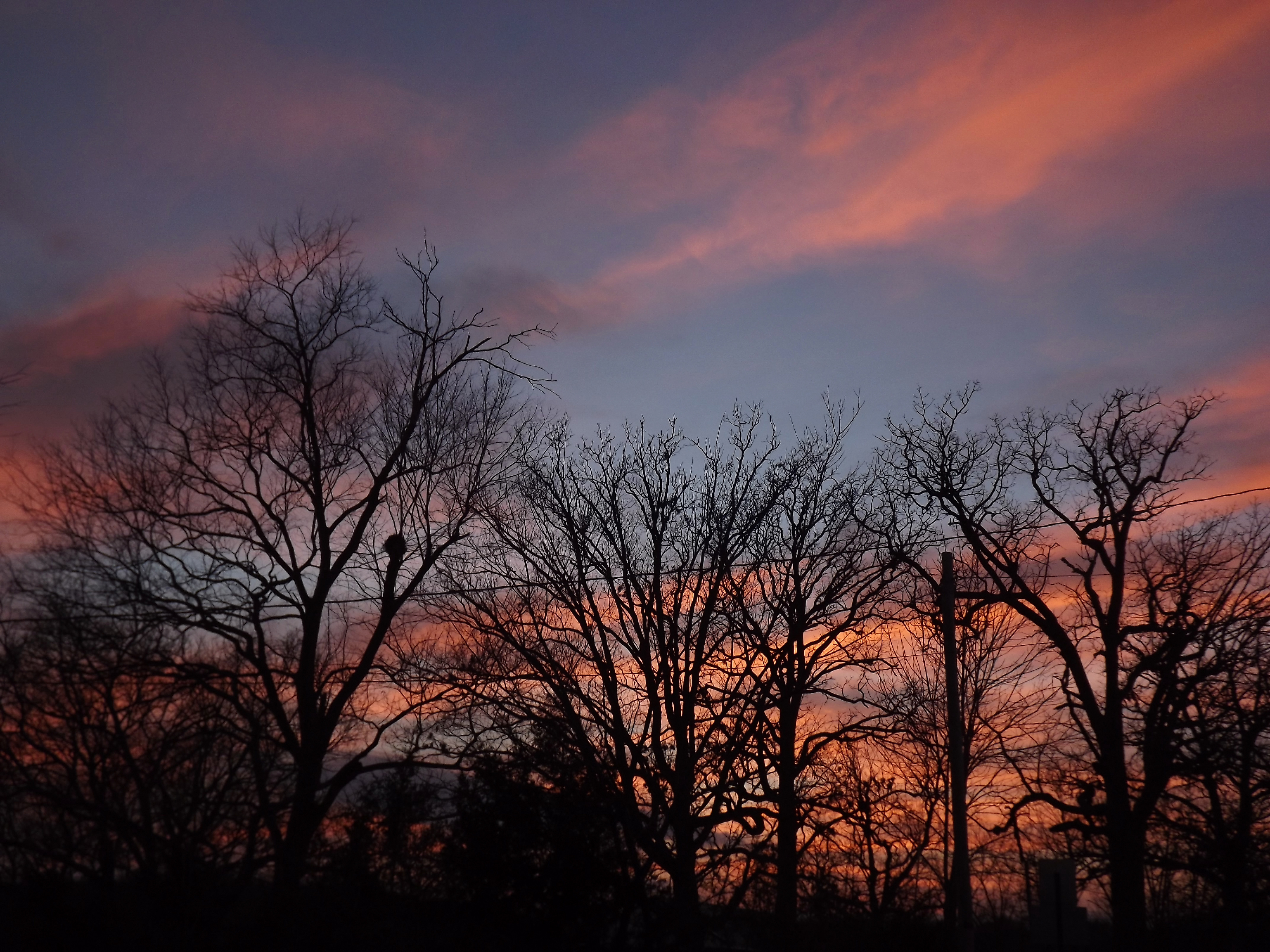
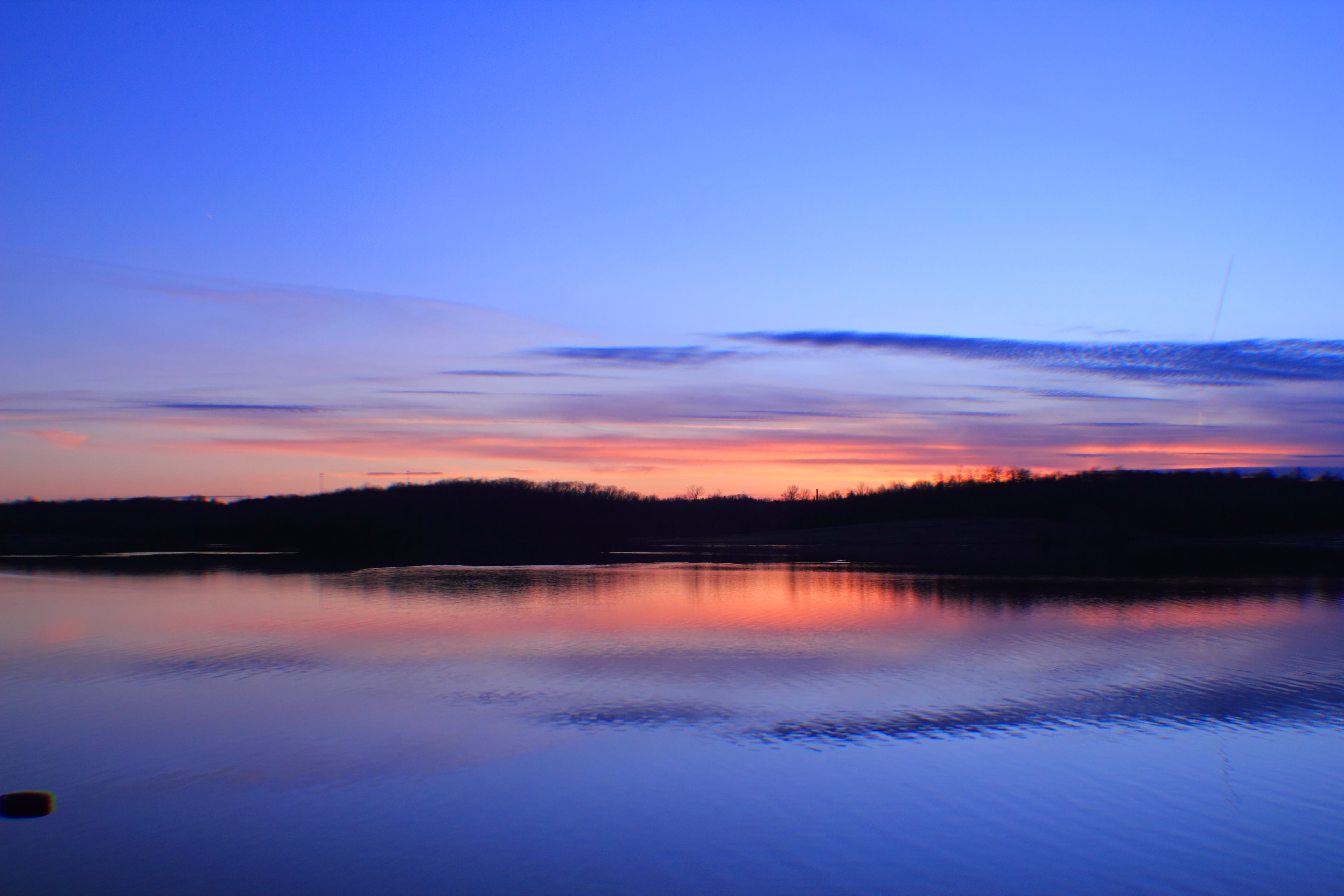
Warm Winter Sunset
Topographic Map of W McCarty St, Jefferson City, MO, USA
Find elevation by address:

Places near W McCarty St, Jefferson City, MO, USA:
Jefferson City
201 W Capitol Ave
Missouri State Museum
W High St, Jefferson City, MO, USA
Honorable Patricia S Joyce
Missouri River Regional Library
Jefferson City High School
500 Airport Rd
900 Dockery St
1700 Southridge Dr
Goldschmidt Cancer Center
505 Ellis Blvd
1515 La Hacienda Ct
Ellis Boulevard
Katy Trail North Jefferson City Spur
1904 Southwest Blvd
2135 Tanner Bridge Rd
2211 Marilyn Dr
810 Stonecreek Dr
1944 Vieth Dr
Recent Searches:
- Elevation of Groblershoop, South Africa
- Elevation of Power Generation Enterprises | Industrial Diesel Generators, Oak Ave, Canyon Country, CA, USA
- Elevation of Chesaw Rd, Oroville, WA, USA
- Elevation of N, Mt Pleasant, UT, USA
- Elevation of 6 Rue Jules Ferry, Beausoleil, France
- Elevation of Sattva Horizon, 4JC6+G9P, Vinayak Nagar, Kattigenahalli, Bengaluru, Karnataka, India
- Elevation of Great Brook Sports, Gold Star Hwy, Groton, CT, USA
- Elevation of 10 Mountain Laurels Dr, Nashua, NH, USA
- Elevation of 16 Gilboa Ln, Nashua, NH, USA
- Elevation of Laurel Rd, Townsend, TN, USA