Elevation of W Lowe Rd, Holcomb, KS, USA
Location: United States > Kansas > Finney County > Sherlock > Holcomb >
Longitude: -100.98959
Latitude: 38.033253
Elevation: 889m / 2917feet
Barometric Pressure: 91KPa
Elevation Map:
Satellite Map:
Related Photos:
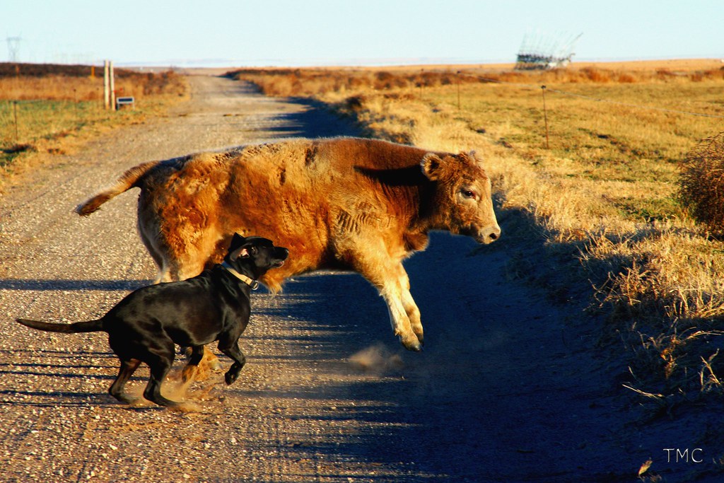
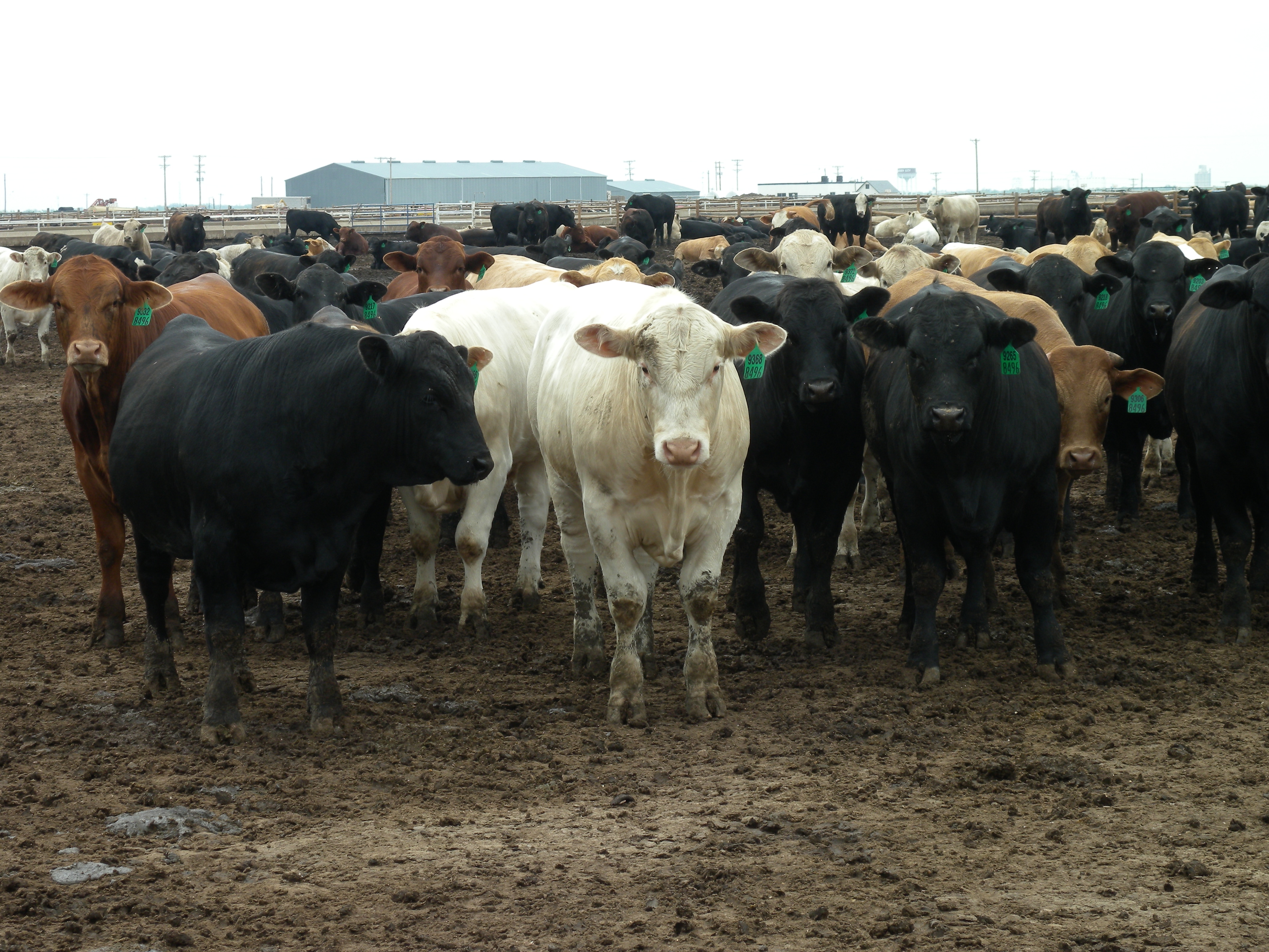
beef tenderizer

Self Portrait
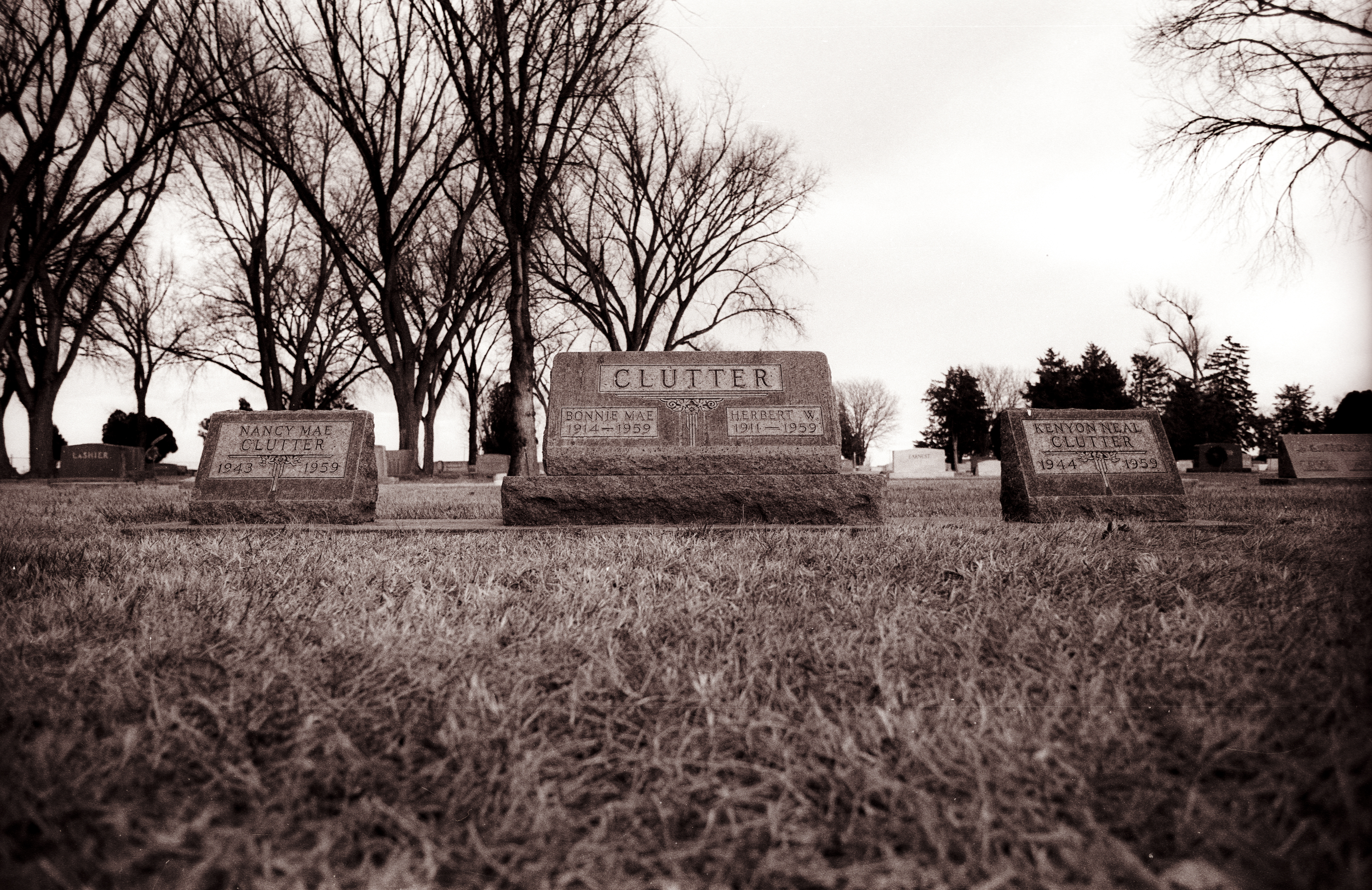
Clutter graves, Garden City, KS
"In Cold Blood" - Truman Capote

Stand Still
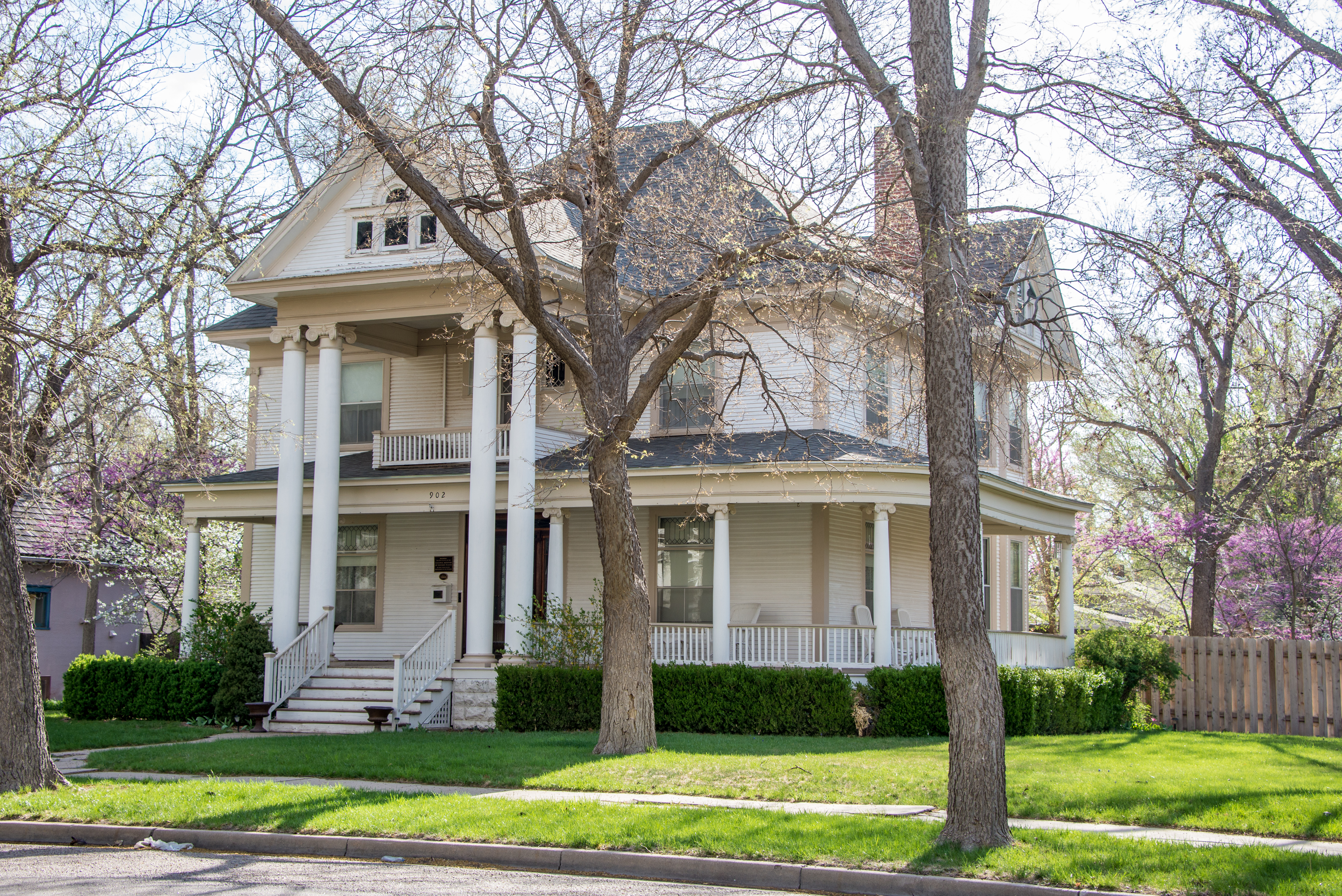
Sen. William H. Thompson House (circa 1908)

[earth-marathon-blog:00983] 数km…。
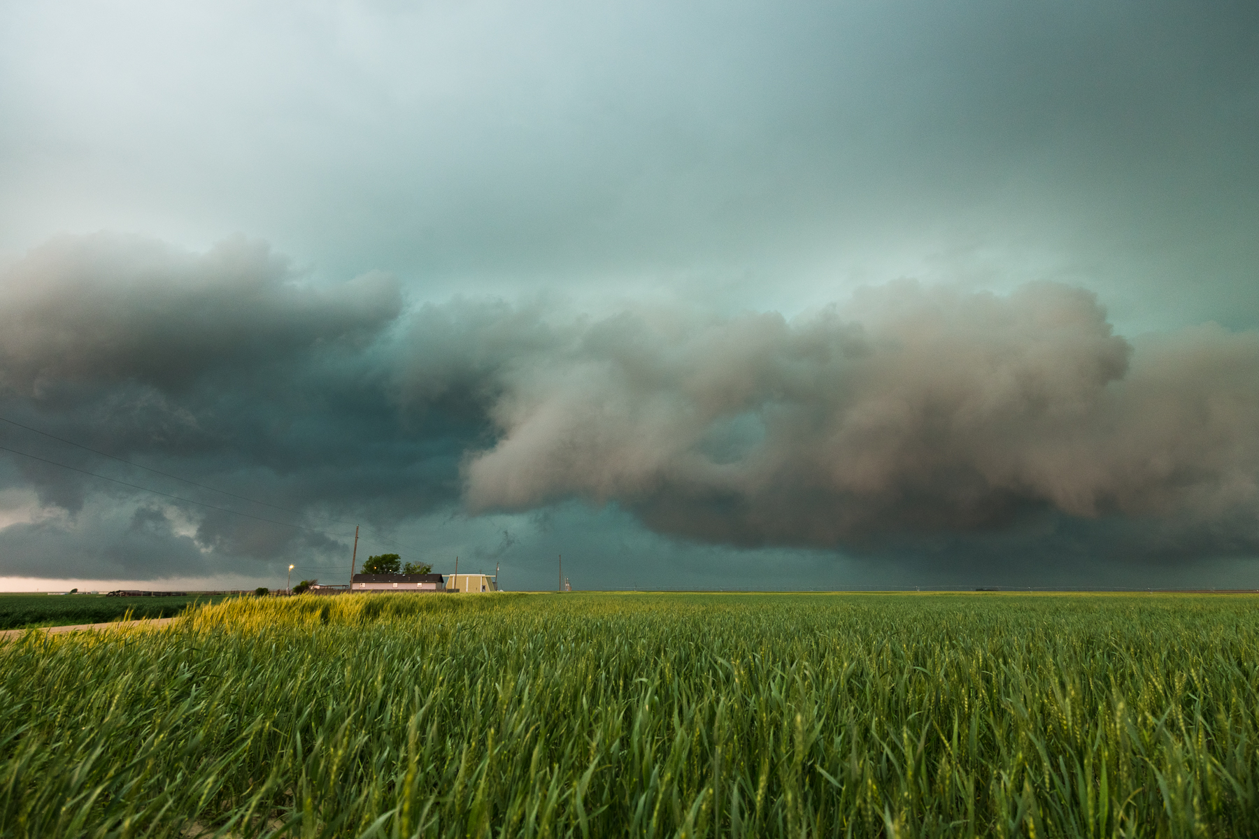
How far will this go on for? (Day140-3)
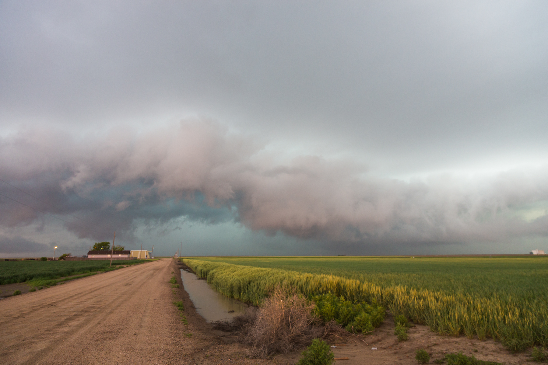
IMG_1397.jpg
IMG_1392.jpg
Topographic Map of W Lowe Rd, Holcomb, KS, USA
Find elevation by address:

Places near W Lowe Rd, Holcomb, KS, USA:
Holcomb
108 Kristi Ln
Jones Ave, Garden City, KS, USA
Finney County
W Lowe Rd, Deerfield, KS, USA
2123 Buffalo Jones Ave
1413 W Mary St
Garden City
Garden City
806 N 1st St
Terry
W Gano Rd, Garden City, KS, USA
E Kansas Ave, Garden City, KS, USA
911 Myrtle St
Scott City
Garfield
Scott County
Beaver
11260 W Rd 240
Lane County
Recent Searches:
- Elevation of 12 Hutchinson Woods Dr, Fletcher, NC, USA
- Elevation of Holloway Ave, San Francisco, CA, USA
- Elevation of Norfolk, NY, USA
- Elevation of - San Marcos Pass Rd, Santa Barbara, CA, USA
- Elevation of th Pl SE, Issaquah, WA, USA
- Elevation of 82- D Rd, Captain Cook, HI, USA
- Elevation of Harlow CM20 2PR, UK
- Elevation of Shenyang Agricultural University, Dong Ling Lu, Shen He Qu, Shen Yang Shi, Liao Ning Sheng, China
- Elevation of Alpha Dr, Melbourne, FL, USA
- Elevation of Hiroshima University, 1-chōme-3-2 Kagamiyama, Higashihiroshima, Hiroshima -, Japan