Elevation of W Jennella Dr, Benson, AZ, USA
Location: United States > Arizona > Pima County > Benson >
Longitude: -110.31482
Latitude: 31.950787
Elevation: 1185m / 3888feet
Barometric Pressure: 88KPa
Elevation Map:
Satellite Map:
Related Photos:
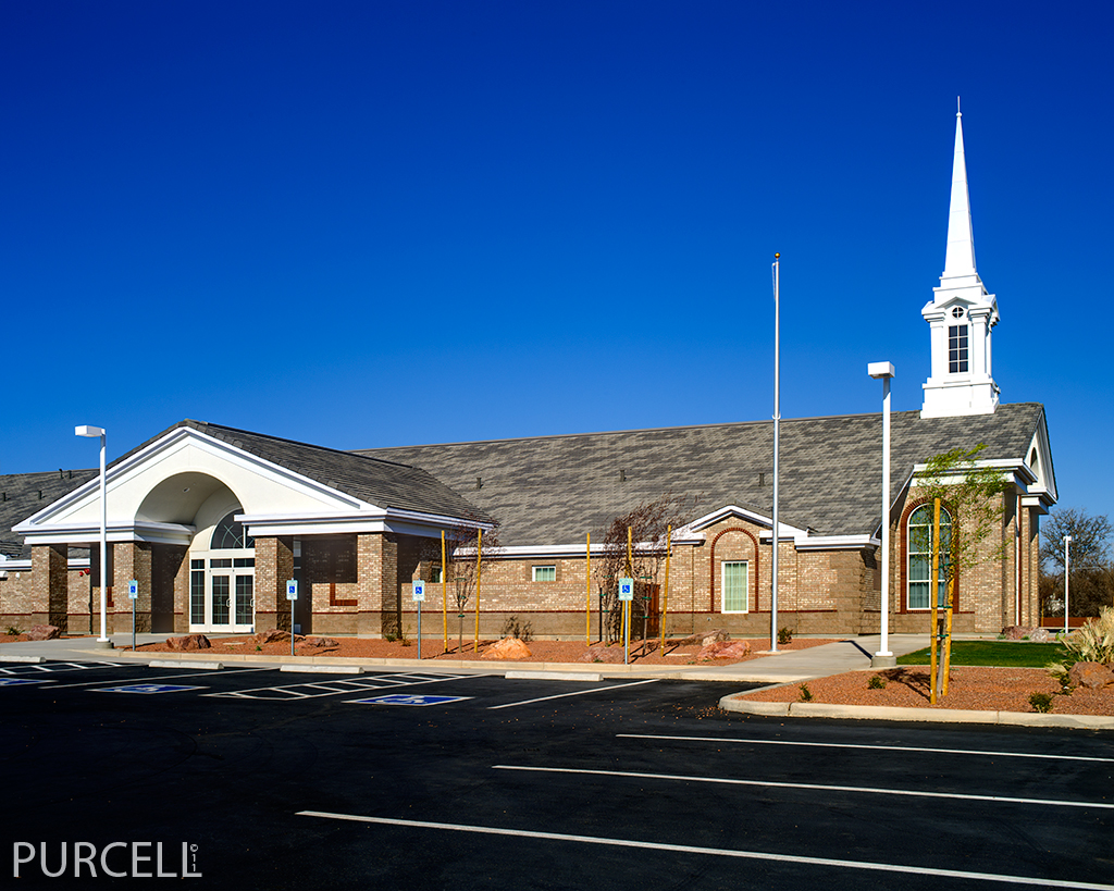
St. David, AZ Church Building

Sunrise from New House

old benson ice cream stop, est. 1953

benson motel

benson motel

View of the Apron

Black Storm-Petrel (Oceanodroma melania)

St. David, AZ Church Building

American White Pelicans (Pelicanus erythrorhynchos)

A Bee After My Own Heart

Do the Right Thing

123/365 = Amazing Color from Rocks & Dirt-for May 03 2010
Dragoon Mountains

American White Pelicans (Pelicanus erythrorhynchos)

Eastern Phoebe (Sayornis phoebe)

View of Dragoon Mountains

Eastern Phoebe (Sayornis phoebe)

View to the Huachucas

Rufous-winged Sparrow (Aimophila carpalis)

Winter Wren (Troglodites hyemalis)

White-throated Sparrow (Zonotrichia albicollis)

Pantano AZ Feb 1990

SP Sunset Limited

Kartchner Caverns State Park Panorama

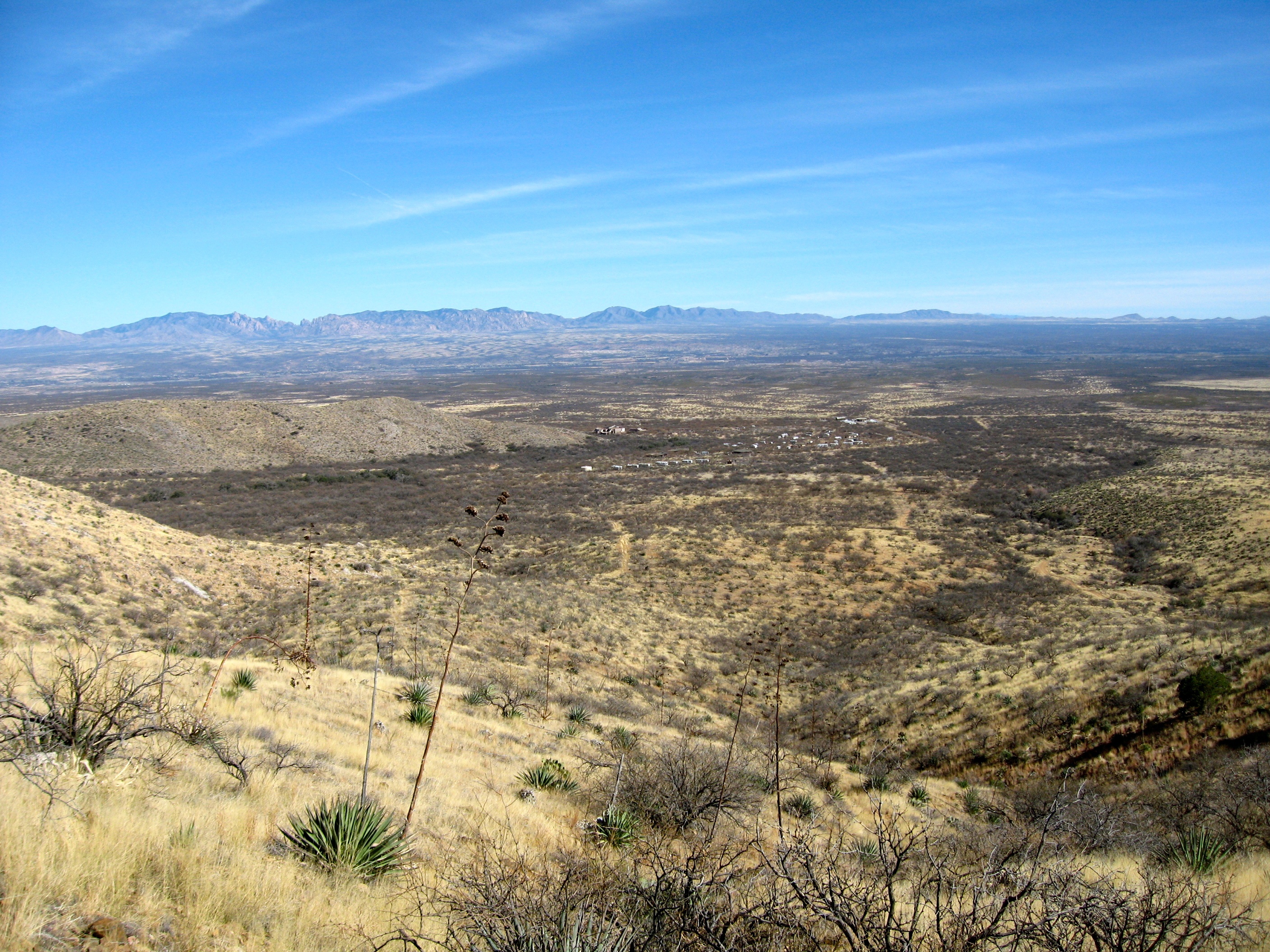
Beautiful Desert Between Benson and Cascabel, AZ

Mesquite trees between Benson and Cascabel, AZ

Quarter Horse Motel
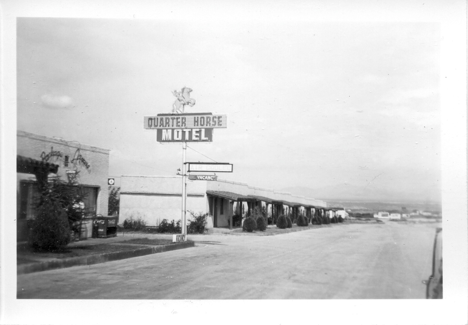
Quarter Horse Motel

Mescal Film Site

Another view of the Cochise Stronghold

Mud Bogging

Sunset at Benson

–

San Pedro River Valley - St David, Cochise County, Arizona.

DSCF7169.jpg

Kartchner Caverns State Park Mountains

Kartchner Caverns State Park Rock Formation

UP 4176 Eastbound and Downhill
Topographic Map of W Jennella Dr, Benson, AZ, USA
Find elevation by address:

Places near W Jennella Dr, Benson, AZ, USA:
1151 W 4th St
600 E Saguaro Dr
545 E El Sol Cir
500 E Silverwood Ln
Saguaro Circle
Benson
Casa Del Rio Dr, Benson, AZ, USA
Ct Rv Resort, Formerly Cochise Terrace Rv Resort
351 E Pearl St
327 E Mark St
630 S Village Loop
Cottonwood Canyon
926 Madison St
San Pedro Golf Course
Benson Koa Rv Resort
2411 W Bryant Ln
2526 W Patton St
423 N Chihaverty Trail
N Aacco Trail, Benson, AZ, USA
Saint David
Recent Searches:
- Elevation of Lampiasi St, Sarasota, FL, USA
- Elevation of Elwyn Dr, Roanoke Rapids, NC, USA
- Elevation of Congressional Dr, Stevensville, MD, USA
- Elevation of Bellview Rd, McLean, VA, USA
- Elevation of Stage Island Rd, Chatham, MA, USA
- Elevation of Shibuya Scramble Crossing, 21 Udagawacho, Shibuya City, Tokyo -, Japan
- Elevation of Jadagoniai, Kaunas District Municipality, Lithuania
- Elevation of Pagonija rock, Kranto 7-oji g. 8"N, Kaunas, Lithuania
- Elevation of Co Rd 87, Jamestown, CO, USA
- Elevation of Tenjo, Cundinamarca, Colombia