Elevation of W Hwy 12, Lodi, CA, USA

Location: United States > California > San Joaquin County > Lodi >

Longitude: -121.49722

Latitude: 38.1128918

Elevation: 1m / 3feet

Barometric Pressure: 101KPa

Elevation Map:

elevation map of W Hwy 12, Lodi, CA, USA

Satellite Map:

Satellite map of W Hwy 12, Lodi, CA, USA

Related Photos:

lodi california unitedstatesofamerica us birds nature northerncalifornia sony sal70200g a77ii redtailedhawk hawk bird
Regal Red Tailed Hawk
old mist abandoned face skull scary spirit ghost haunted spooky haunting paranormal ghostly locke haunt ghastly ectoplasm spook ghoulish anthonystantonphotography anthonywstanton anthonywstantonphotography ilbd ilovebadgerdogs
Can You See The Faces?
thornton california unitedstates us sonyalpha sony sal70400g sonyilca77m2 a77ii alpha autofocus nature birds sandhillcranes
Staten Island Cranes
street building architecture landscape mainstreet view flames scenic delta harley business lazy icecream western motorcycle americana biker treat roadside custom hog touring attraction caughtmyeye gunthers stuffilike
Hoggin' out at Gunther's
100strangers california isenbergcranereserve lodi sanjoaquincounty thehumanfamily woodbridgeecologicalreserve
Lisa (10/100)
california street fish window sign sport metal fishing rust neon view painted tail ghost stripe scenic delta lettering fin retired crusty bait lure isleton brokenstriper
Rusty Lure
square squareformat iphoneography instagramapp uploaded:by=instagram foursquare:venue=4c82cb7fe602b1f79f48a07a
Enjoying the view with #verdelho in the glass. #LodiWine #oakfarmvineyards
usa nikon nikond70s dslr southernpacific northernrailway sanjoaquincounty narrowgaugerailroad southernpacificrailroad sjsn sanjoaquinsierranevadarailroad narrowgaugetovalleysprings oldrailroadalonghighway12 sjsnrailroad kentuckyhousebranch southernpacifickentuckyhousebranch
DSC_0154-a64
california ca usa brown america town us nikon chinese historical d200 tinted locke migrant nikond200
iron & wood / light & shadow
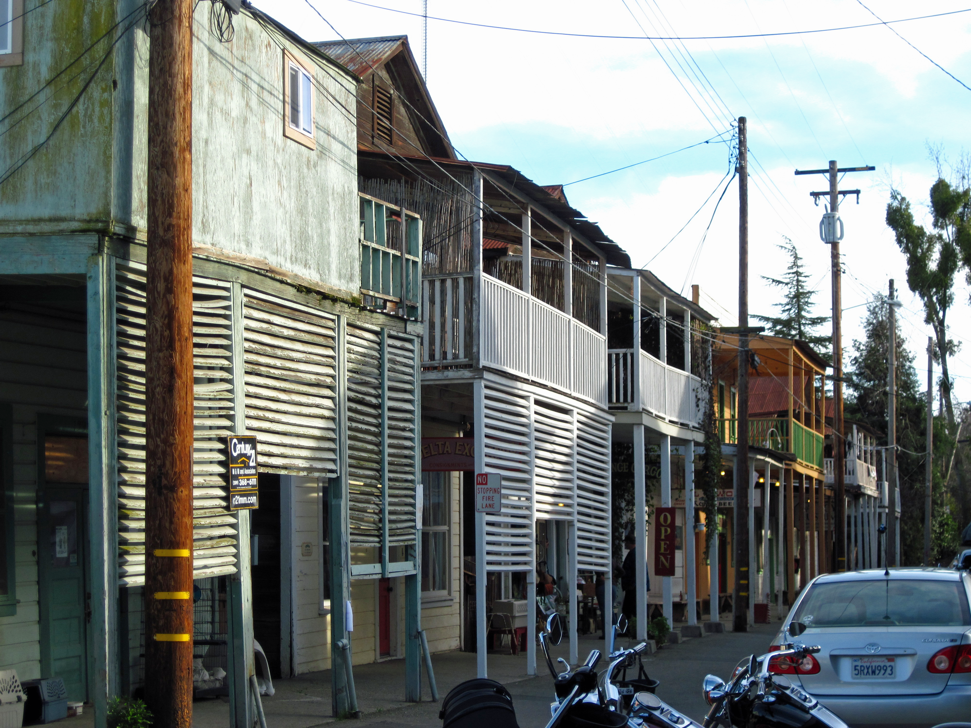
boardwalk locke sacramentoriverdelta 5february2011
Locke Boardwalk
Sugar Barge Campout.
dji phantom4pro dreyerpicturescom drone aerialview aerialphotography landscape river sacramento sacramentophotography airialview walnutgrove california unitedstates us
Walnut grove, CA
dji phantom4pro dreyerpicturescom drone aerialview aerialphotography landscape river sacramento sacramentophotography airialview walnutgrove california unitedstates us
Walnut grove, CA
dji phantom4pro dreyerpicturescom drone aerialview aerialphotography landscape river sacramento sacramentophotography airialview walnutgrove california unitedstates us
Walnut grove, CA
dji phantom4pro dreyerpicturescom drone aerialview aerialphotography landscape river sacramento sacramentophotography airialview walnutgrove california unitedstates us
Walnut grove, CA
dji phantom4pro dreyerpicturescom drone aerialview aerialphotography landscape river sacramento sacramentophotography airialview walnutgrove california unitedstates us
Walnut grove, CA
california ca travel blue sunset orange water northerncalifornia clouds river catchycolors photography spring nikon raw farm delta panoramic farmland land fields agriculture nikkor slough westcoast stockton hdr centralvalley fertile photomatix sanjoaquincounty tonemapped empiretract d700 afs1424mm littleconnectionslough nxtrfoto nextierphotography
Sunset Over Medford Island
littlepotatoslough riovista delta stevejordan sky sunset punahou77 reflection roadtrip river nature nikond500 nikon night highway12 landscape landmark bridge
Rio Vista Sunset
littlepotatoslough california clouds color stevejordan sky sunset reflection roadtrip river bridge nature nikond500 nikon night towerparkmarinaresort jellystonecampground delta highway12
Little Potato Slough Sunset
california nature birds unitedstates sony lodi greatphotographers sonyalpha sal70400g a77ii sonyilca77m2
Season of the Sandhill Crane
street food coffee sign wall view market fast gasstation truckstop donuts handlettering signpainter
Fresh! Hot!
california blue sky green station landscape fossil highway rocks dino dinosaur scenic delta reststop gas mascot climbing american americana petrol roadside gasoline prehistoric fuel sinclair flagcity gasup highway12 uploaded:by=flickrmobile flickriosapp:filter=nofilter
Fossil Fuel
clouds landscape mountdiablo mountain nature pretty sacramentodelta sunset water
Mount Diablo
california river boats delta boating
Walnut Grove Draw Bridge
sunset reflection nature water beautiful clouds landscape mirror pretty peaceful delta calm sacramento tranquil sacramentoriver waterscape
Calm Before the Storm
california usa birds animals us wildlife sunsets delta places cranes birdsinflight states sandhillcranes sacramentoriverdelta walnutgrove scenicshots
Delta Sunset
railroad trains unionpacific local geeps upsacramentosubdivision thortoncalifornia
Union Pacific Sacramento Local
Bethel Island 7
usa nikond70s roadtripusa digitalcamera nikondslr
DSC_0200-a85
statonisland
Christman Eve on Statten Island
sunset water landscapes delta
Sunset Delta
canon40d
Easter Sunset
sunset water landscapes delta
Sunset Delta
hdr isletonbridge cadelta isletonca pjm1 20120915 pedromarenco
Isleton Bridge Long Exposure HDR (C61_3127-312-cus-LR-NS-PSa1)
flowers macro nature societygarlic
Park Flowers 2
sunset sky clouds
Sunset Sky
california scrapbook grandisland walnutgrove grandislandgetaways
037_edited-1
sunset mountdiablo sanjoaquincounty 20120403 pjm1 isenbergsandhillcranepreserve 20121124 pedromarenco
Mount Diablo Isenberg Sandhill Crame Preserve Sunset, San Joaquin County CA (IMG_7000-LR-PS)
sunset hdr woodbridgeroad sanjoaquincountyca pjm1 20121124 isenbergesandhillcranepreserve pedromarenco
Isenberg Sandhill Crane Preserve Sunset, Woodbridge Road, San Joaquin County CA (C61_6901-6902-LR-NS)
sunset mountdiablo sanjoaquincounty 20120403 pjm1 isenbergsandhillcranepreserve 20121124 pedromarenco
Mount Diablo Isenberg Sandhill Crame Preserve Sunset, San Joaquin County CA (IMG_7058-LR-PS)
sunset sky clouds
Sunset Sky