Elevation of W Hunt Rd, Tucson, AZ, USA
Location: United States > Arizona > Pima County > Tucson >
Longitude: -111.27219
Latitude: 32.017567
Elevation: 947m / 3107feet
Barometric Pressure: 90KPa
Elevation Map:
Satellite Map:
Related Photos:

Face off
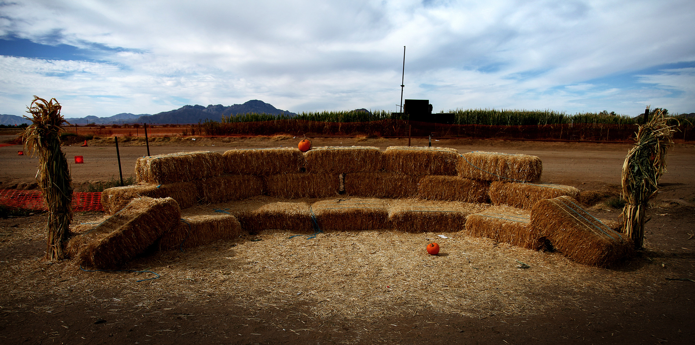
Make yourself at home
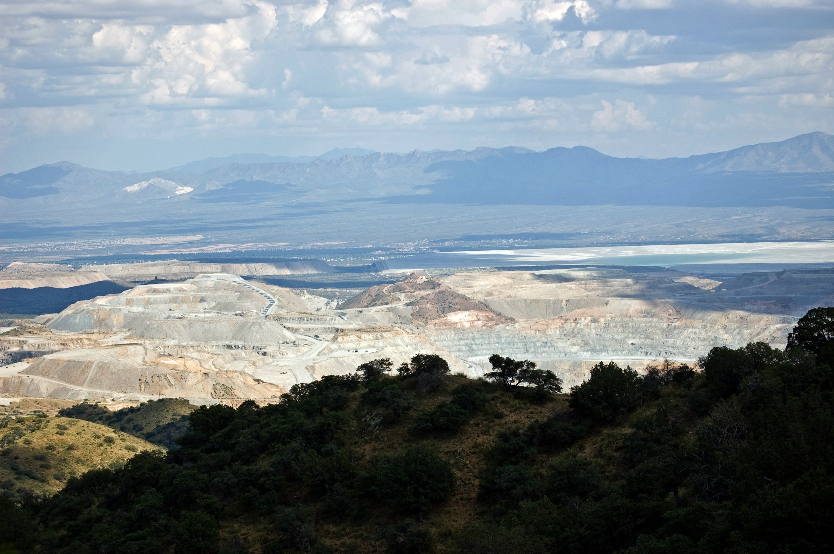
Freeport-McMoRan Sierrita Mine

Blue loves Orange
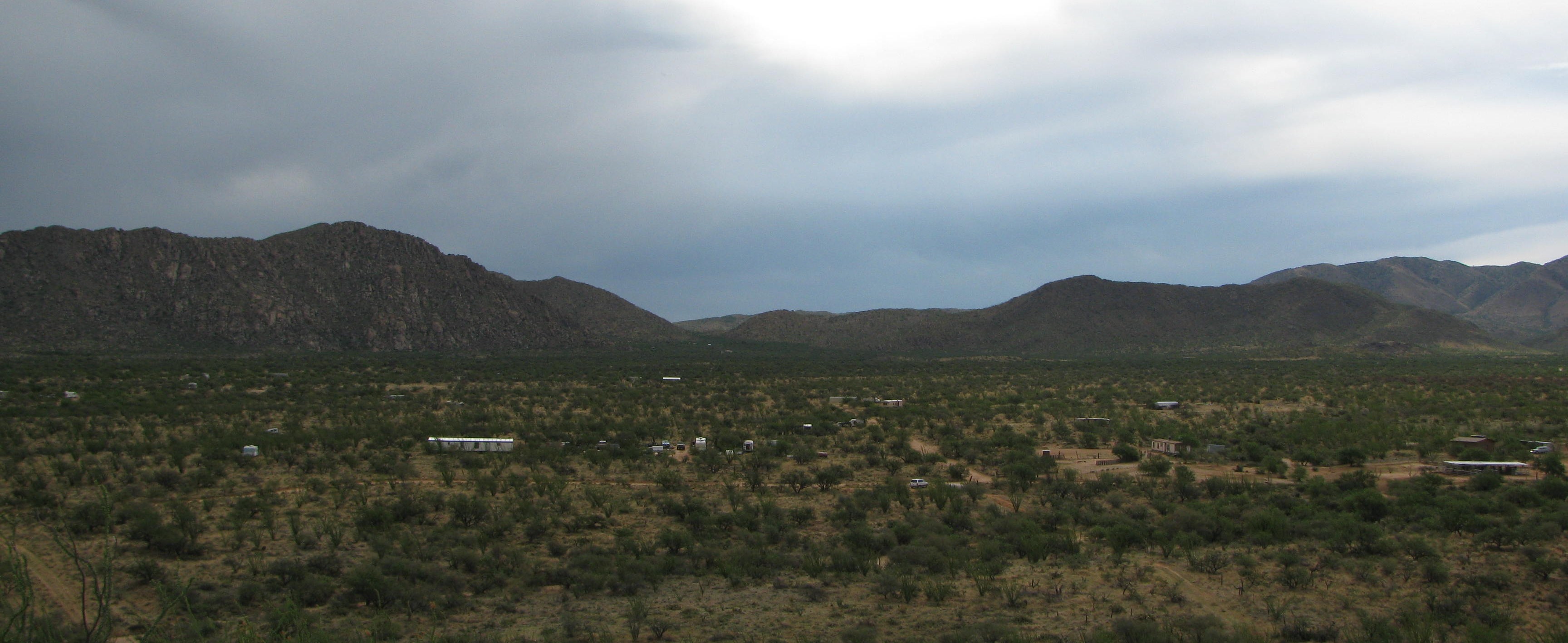
I Own a 5-Acre Lot Here

Sunset from the yard
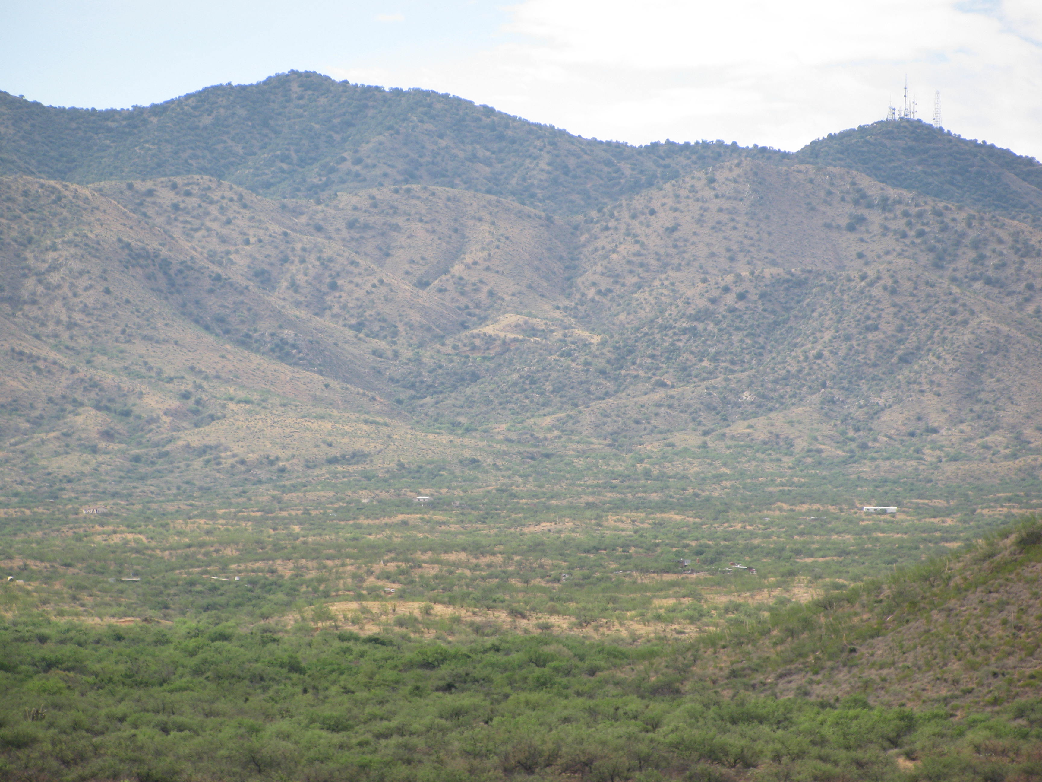
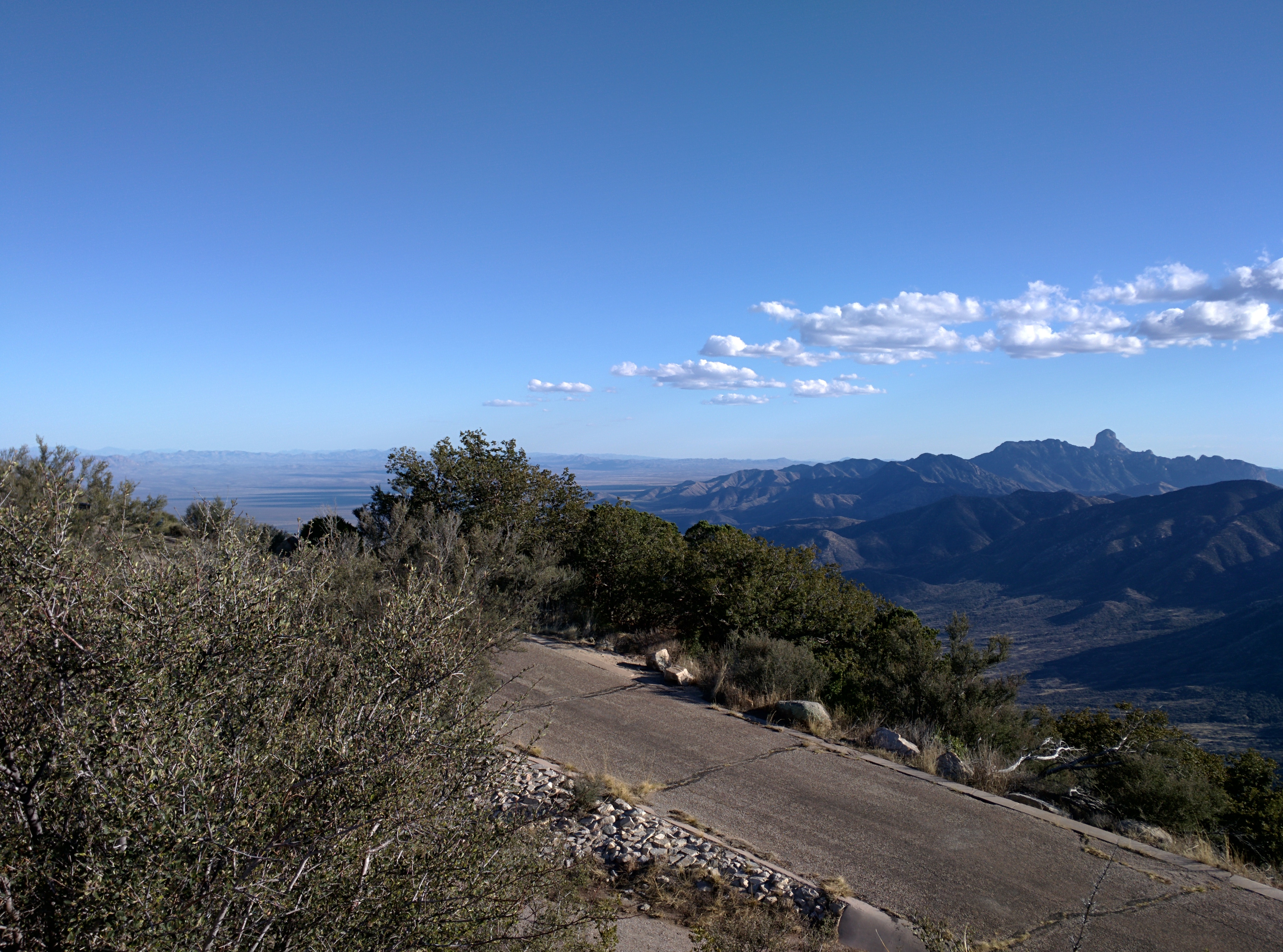
Sierrita Mountains

Tucson Desert Museum

crowds staring at the sun

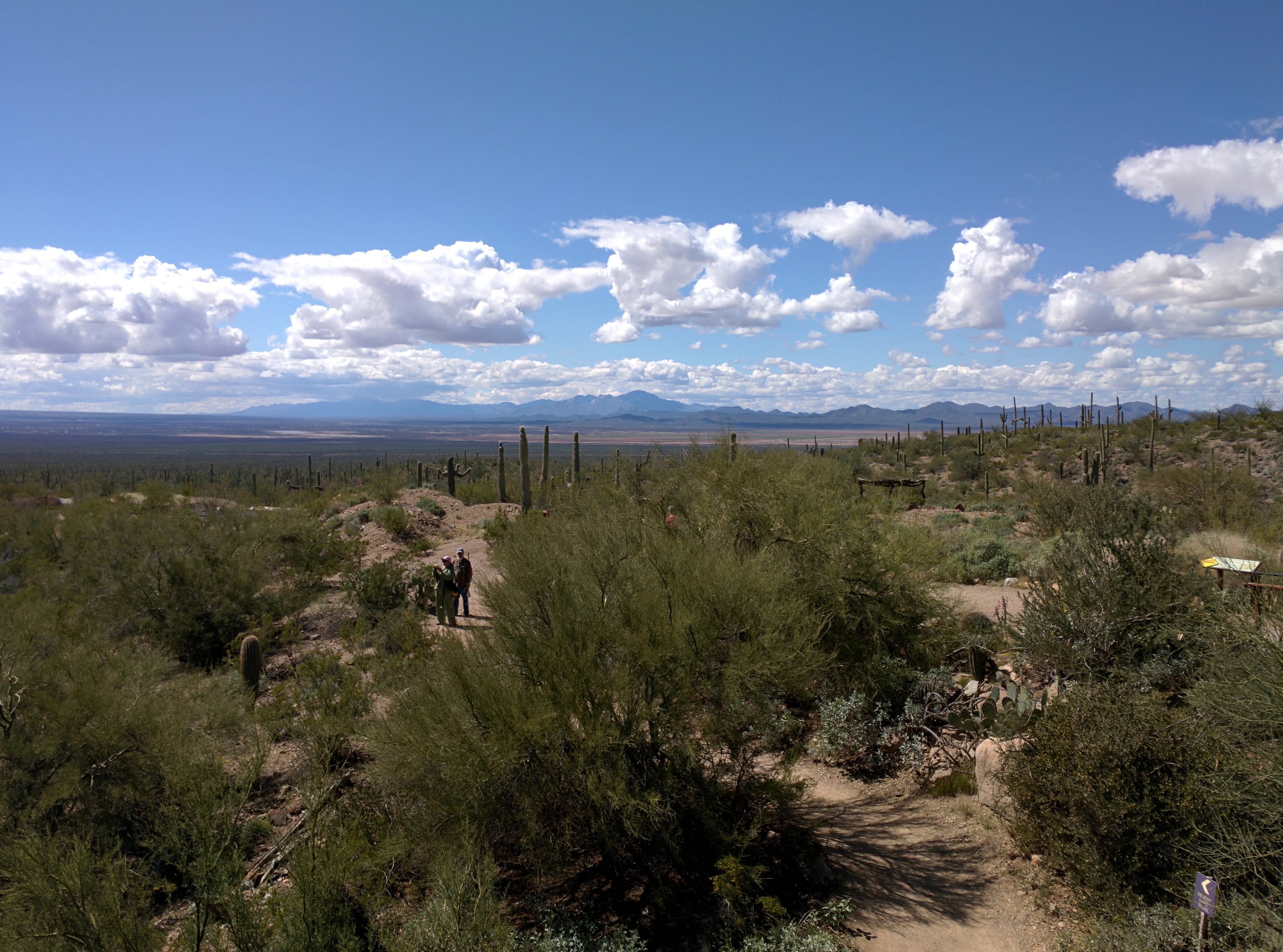
getting some footage of the desert
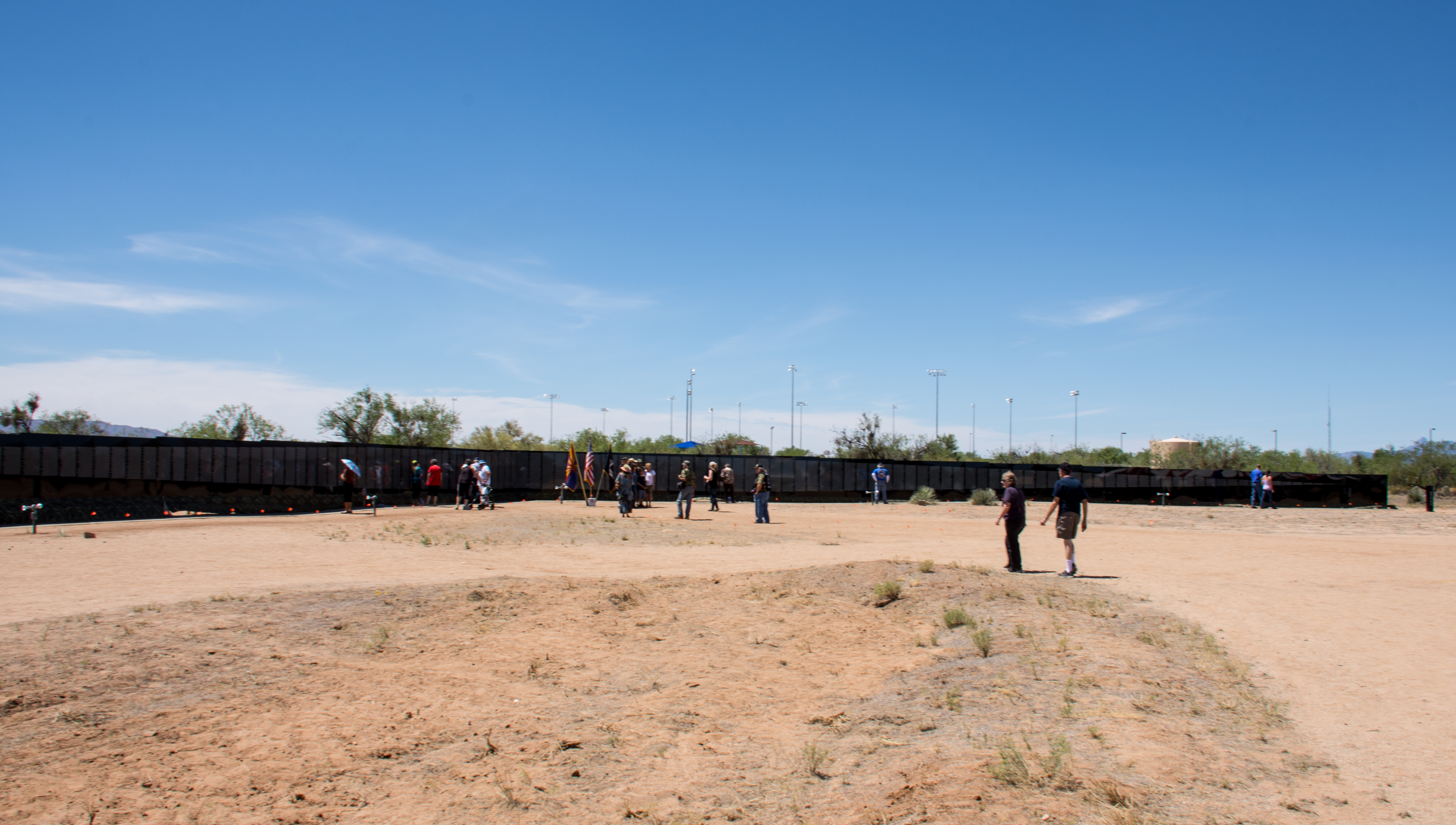
The Moving Wall
2015-03-04 12.09.32
2015-03-06 16.57.03
Topographic Map of W Hunt Rd, Tucson, AZ, USA
Find elevation by address:

Places near W Hunt Rd, Tucson, AZ, USA:
12880 S Baldwin Ln
14241 W Stanford Rd #24
14241 W Stanford Rd #24
14241 W Stanford Rd #4
14241 W Stanford Rd #4
14241 W Stanford Rd #4
14241 W Stanford Rd #4
14241 W Stanford Rd #4
14241 W Stanford Rd #4
14241 W Stanford Rd
Mira Bell
14146 S Justice Ave
11195 S Colt Dr #204
11195 S Colt Dr #204
14294 West Kestrel Road
14252 West Kestrel Road
11000 S Stagecoach Rd #224
16342 W Pinacate Ave #196
14042 S Poston Pl #262
14060 Canelo Ave #269
Recent Searches:
- Elevation of Leyte Industrial Development Estate, Isabel, Leyte, Philippines
- Elevation of W Granada St, Tampa, FL, USA
- Elevation of Pykes Down, Ivybridge PL21 0BY, UK
- Elevation of Jalan Senandin, Lutong, Miri, Sarawak, Malaysia
- Elevation of Bilohirs'k
- Elevation of 30 Oak Lawn Dr, Barkhamsted, CT, USA
- Elevation of Luther Road, Luther Rd, Auburn, CA, USA
- Elevation of Unnamed Road, Respublika Severnaya Osetiya — Alaniya, Russia
- Elevation of Verkhny Fiagdon, North Ossetia–Alania Republic, Russia
- Elevation of F. Viola Hiway, San Rafael, Bulacan, Philippines