Elevation of W Holt Blvd, Ontario, CA, USA

Location: United States > California > San Bernardino County > Ontario >

Longitude: -117.66275

Latitude: 34.0628772

Elevation: 306m / 1004feet

Barometric Pressure: 98KPa

Elevation Map:

elevation map of W Holt Blvd, Ontario, CA, USA

Satellite Map:

Satellite map of W Holt Blvd, Ontario, CA, USA

Related Photos:

leaf backlit
Backlit corn stalk leaf...
trees palmtrees mountains hills cornstalks sky landscapes
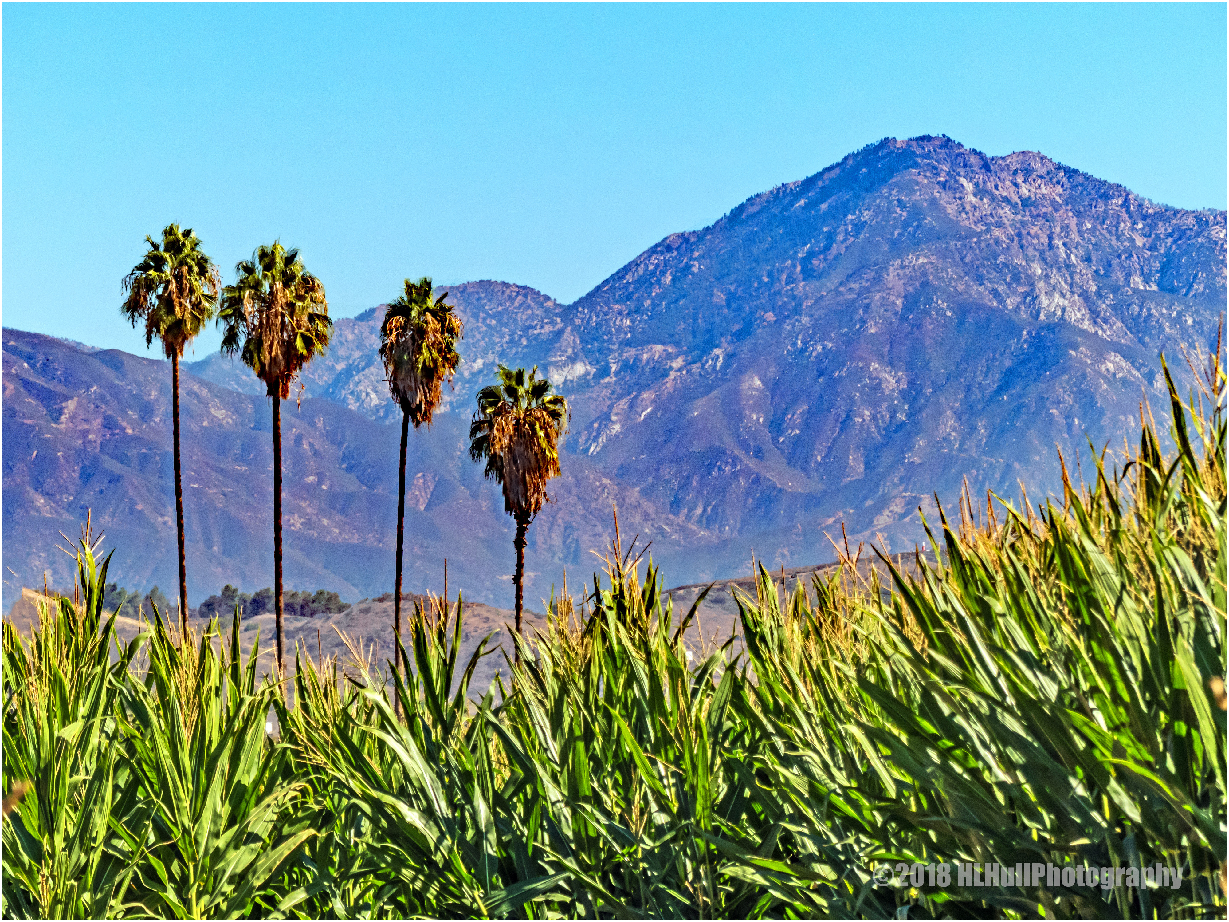
San Gabriel Mountains...
littlescarecrow scarecrow fall leaves
Little Miss Scarecrow...
blackcrownednightheron frankgbonelliregionalpark bird heron wetlands wildlife sandimas california unitedstates us
Black-crowned Night Heron 0697
trains railroads southernpacific espee sp locomotive emd gp60 pomona california
Shiny - part 2
pumpkin leaves fall
Hiding...
california canon outdoors socal canondslr biplane stearman canon70200f4l upland inlandempire cableairport uplandcalifornia sbcusa alltypesoftransport kenszok
Stearmans Breaking Left
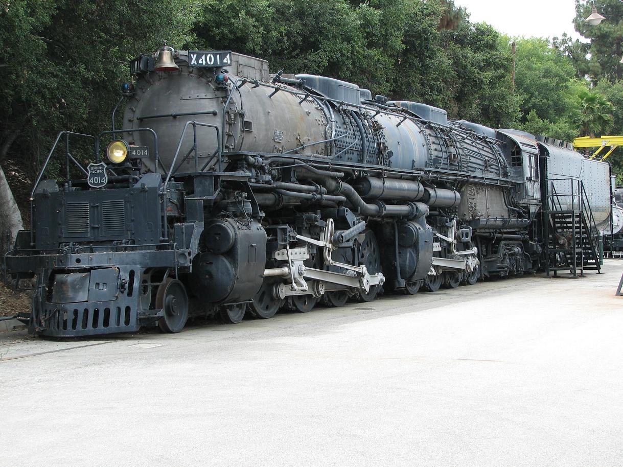
844steamtrain enourmous colossal size steam powered engine machine railroad railway public transportation up union pacific big boy 4014 class series old school classic preserved freight train trains alco american locomotive company locomotives vintage museum historical canon powershot s2is digital camera travel video tourism events adventure science technology cliche saturday powerful 4884 photography flickr hdr flickrelite largest biggest heaviest america most viewed photo youtube google redbubble views popular favorite favorited wonderful world trending relevant
UP Big Boy 4014!
pumpkin pumpkins leaves shadows fall
Pumpkin Festival & Pumpkin Patch...
colorfulsquash squash
Colorful squash...
planesoffame airmuseum museum chino california warbird warbirds airplane airplanes plane planes aircraft boeing p26a p26 peashooter 33123 nx3378g fighter prewar detail landinggear aviation cno aerospace history historic aeroplane aeroplanes vintage n3378g rare 2012 chinoairport kcno airport maintenance collection
Planes of Fame Air Museum - DSC_3264c
pumpkins pumpkin farmtruck truck straw bales strawbales
The Farm Truck...
california ca usa museum plane us unitedstates aircraft sony unitedstatesofamerica telephoto socal telephotolens chino sanbernardino planesoffame nex apsc planesoffameairmuseum emount nex5t sel55210
F-22 Raptor & Heritage Flight : USAF F-22 Raptor Demonstration Team & Vintage Fighter Aircraft Heritage Flight
california 6ws claremont ribbet odc1 uncommongoodwholeearthbuilding
Planting roof garden for uncommon good
shadows trees grass fence landscape
Morning shadows...
california travel blue vacation sky panorama usa wheel vertical canon la grande photo day skies photographer stitch picture fair panoramic september clear adobe ferriswheel southerncalifornia pomona upclose stitched 2010 10mm losangelescounty fairplex otw autopanopro 40d topazclean topazadjust photographersnaturecom davetoussaint photoshoptopazlabs
LA County Fair Ferris Wheel
sunflower flower bee insect fall
Sunflower...
sunset landscape fire evening twilight dusk smoke blaze complex fiery ranchocucamonga inlandempire sanbernardinocounty californiawildfires trianglefire yorbalindafire 91freewayfire diamondbarfire chinohillsfire
Sunset view of the 91 Freeway Fire
chino chinoairport airshow airplane airport warthog a10thunderboltii a10 airforce planesoffame
Warthog 3592
california wallpaper sky usa color green art nature photoshop landscape eos creative textures pro southerncalifornia canoneos digitalphotography edges droh creativephotography phototools cs5 efex colorefexpro niksoftware creativedigitalphotography viveza creativepostprocessing dailyrayofhope dfine20 ononephototools viveza2 topazadjust4 autoefexedges
San Gabriel Mtns
charadriusvociferus frankgbonelliregionalpark killdeer plover bird wildlife sandimas california unitedstates us
Young Killdeer 6577
cameraphone california trees winter sky blackandwhite bw texture nature leaves forest landscape pod jane grove potd tintype distressed iphone photooftheday 2013 mobilephotography 22713 iphone365 iphoneography hipstamatic dtypeplate
2/27/13
california clouds canon outdoors socal pomona canondslr cloudscapes inlandempire thunderstroms twtme thundrestorm canon1740f4lusmgroup naturallymagnificent kenszok
Storm Clouds over Brown Hills
chinohillsstatepark wildflower wildflowers chinohills california unitedstates us spring springtime
Chino Hills 5630
california autumn canon pumpkin outdoors pumpkins autumncolors socal pomona canondslr calpoly inlandempire calpolypomona kenszok afhht
Cal Poly Pumpkin Patch Panorama
california mountains nature canon outdoors lowlight socal canon5d canondslr canon70200f4l upland inlandempire cucamongapeak uplandcalifornia sbcusa naturallymagnificent aphotographersnature kenszok
Last Rays on Cucamonga Peak
california lighting old red sky orange usa sun nature water lines rock clouds canon landscape landscapes yahoo blog losangeles los google sand rust rocks paint glow angle zoom angeles tripod wideangle bluesky running run brent badlands claremont tone 1022mm hdr bing bah howe mtbaldy bahhumbug upland tonemapping tophdr 40d mtbaldypipe 91711 brenthowe tonempping bhowephotoscom
The pipe
frankgbonelliregionalpark bird greenheron heron wetlands wildlife sandimas california unitedstates us
Striding with Purpose 4254
wedding strobist marioherrera losserranoscountryclub
Wedding...
california sunset architecture reflections landscape claremont claremontcollege pomonacollege kraviscenter
Kravis Center
california ca travel sunset usa ontario nature photoshop canon landscape photo interestingness google interesting colorful day photographer cloudy picture clarity explore socal adobe getty february southerncalifornia adjust infocus 2011 cs6 denoise 60d topazlabs photographersnaturecom davetoussaint
One Colorful Sunset
chinohills
walk trail rain cloud
california ca travel usa nature photoshop canon landscape fire photo interestingness interesting december niceshot photographer cs2 cut picture cybershot explore adobe commercial southerncalifornia firefighting dairy firefighter spark entry adjust eastvale infocus simplify wow1 2011 structurefire denoise topazlabs platinumheartaward rotarysaw photographersnaturecom davetoussaint riversidecountyfiredepartment mygearandme ringexcellence riverswidecounty
Making Entry
bonellipark bonelliregionalpark firefightingaircraft aircraft puddingstonereservoir wildfire brushfire sandimas california 2017 canadair cl415 bombardier superscooper 247 cgqbk
SuperScooper 247
california ca travel usa nature speed photoshop canon airplane landscape fire flying photo interestingness google interesting twilight raw glow photographer image aircraft scenic picture explore cc flame adobe april getty chino adjust vaportrail planesoffame lockheedmartin 2016 afterburner fighterjet f16fightingfalcon denoise f16viper 60d topazlabs chinoairshow chinoairport planesoffameairmuseum photographersnaturecom davetoussaint creativecloud
F-16 Viper at Twilight in Full Afterburner
square squareformat iphoneography instagramapp uploaded:by=instagram foursquare:venue=4f498997e4b0c132f1fe3df9
#instacollage#italy #uk #us #uci #ucla #coco #ca #amazing #love #losangeles #mouthgasm #brazil #brazil2014 #beverlyhillsb #vegas #view #california #sf #sanfranciscobay
Desert come to life
square lofi squareformat iphoneography instagramapp uploaded:by=instagram
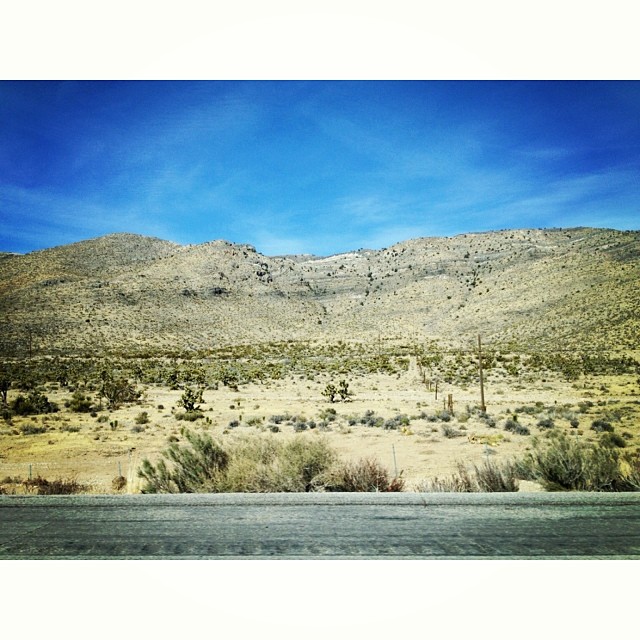
The drive home. Last shot for the day. #Desert #cacti #mountains
california travel usa ford 1948 nature photoshop canon landscape photo photographer panel cs2 picture woody adobe february southerncalifornia pomona hdr 2012 infocus nhra lacounty losangelescounty fairplex photomatix nationalhotrodassociation denoise 60d topazlabs topazadjust photographersnaturecom davetoussaint mygearandme ringexcellence flickrstruereflection1 flickrstruereflection2 nhrafullthrottledragracingseries2012
Ford Woody
hipstamatic melodielens oggl robustafilm
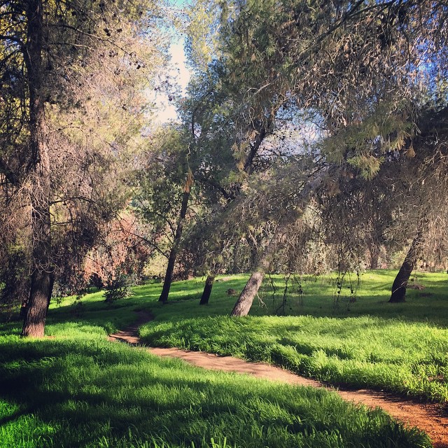
#Morning #tree #shadow at the #park
square sierra squareformat iphoneography instagramapp uploaded:by=instagram foursquare:venue=4fe0ea88e4b0675748313b6b
Today's church. Me + this trail.