Elevation of W Hickory St, Roseburg, OR, USA
Location: United States > Oregon > Douglas County > Roseburg >
Longitude: -123.39283
Latitude: 43.2123641
Elevation: 133m / 436feet
Barometric Pressure: 100KPa
Elevation Map:
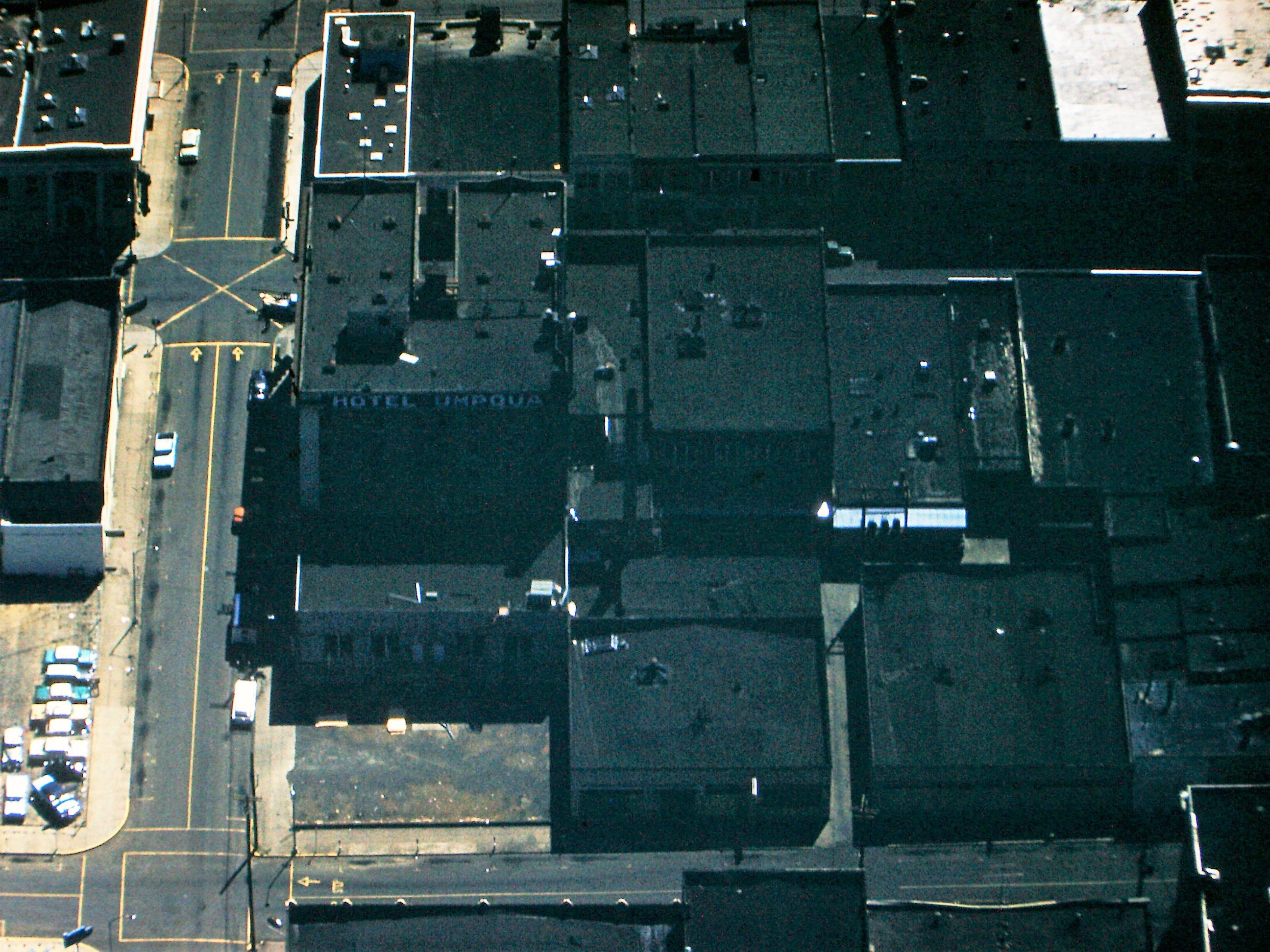
Satellite Map:
Related Photos:

Day 245/365 - Casey's Restaurant

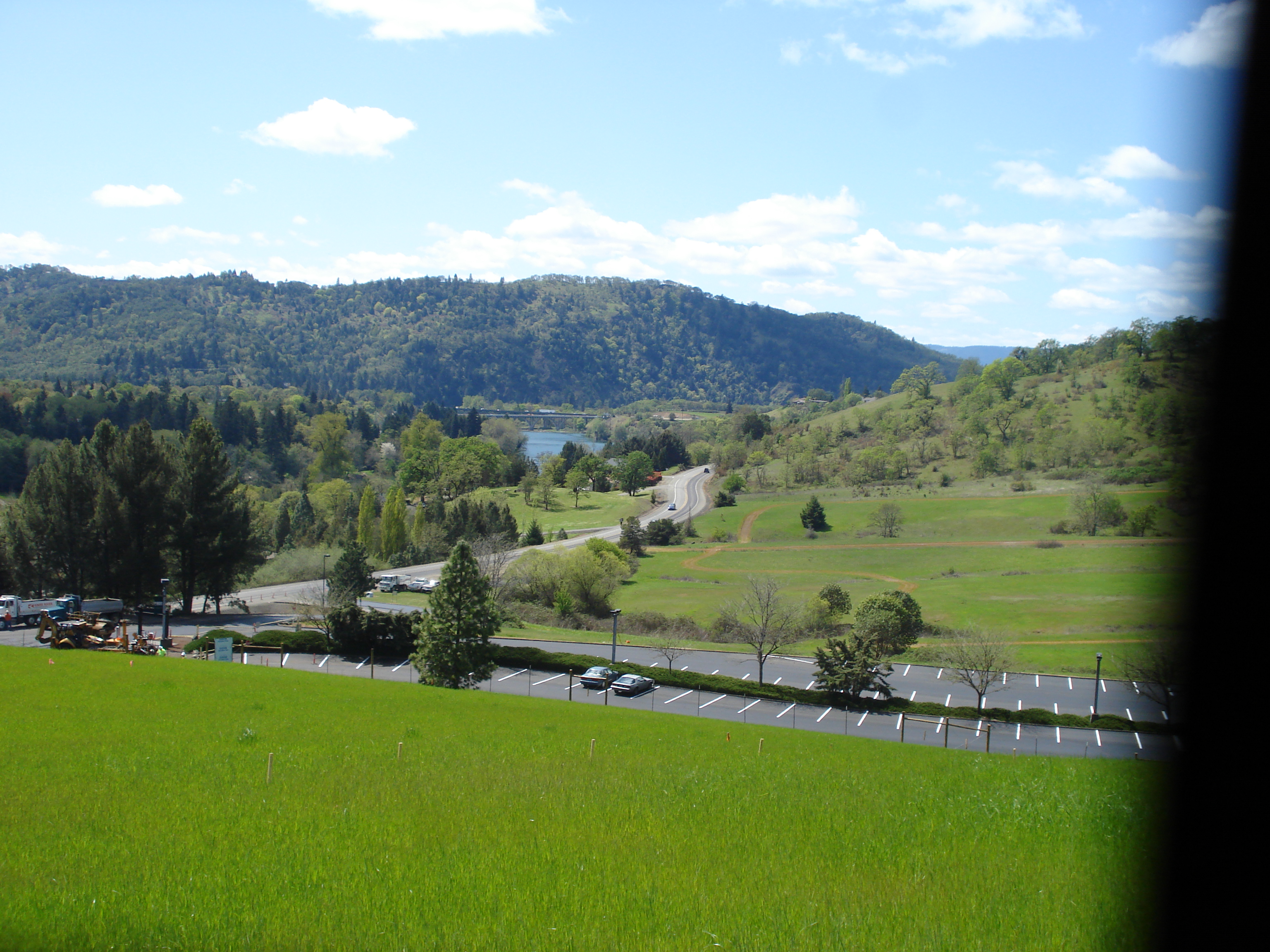
95. View from our balcony in Roseburg, OR.
Downtown Roseburg View with the Umpqua Hotel, 1959. (see description)

Eclectic 007

East African Crowned Crane

Nature's own way of saying f**k you
Krohn Lane home

Another view of the roses in a trailer.

Beauty is in its stripes
2010-09-22-cover image-2
Krone Lane home
Front yard

south umpqua blossom

Sunroof View

Remember...Forever

Krohn Lane Home

Krohn Lane Home

Roseburg City Hall Pentagon
Krone Lane home

This Photo is a Lemon c

Read & Write store - DSC04350
Britt Nichols County Park
Edge of forest

Bison bison

Old fence around gone drive-in theater screen near Roseburg
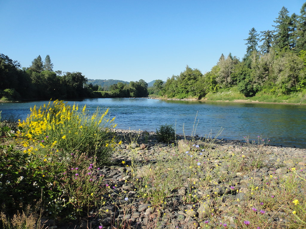
River Forks

Winston Bridge, Oregon
LAKE ROSEBURG OREGON
Reflecting pool
Britt Nichols County Park

Even doggies like flare ☀

Corn maze, with fog.

Oregon White Oak

early teen angst at the Kenai

Detour around "the blast" 1959(read description)

Spring Row
easter 2009 101

"The blast" Ground Zero, Roseburg, Oregon 1959 (read description)
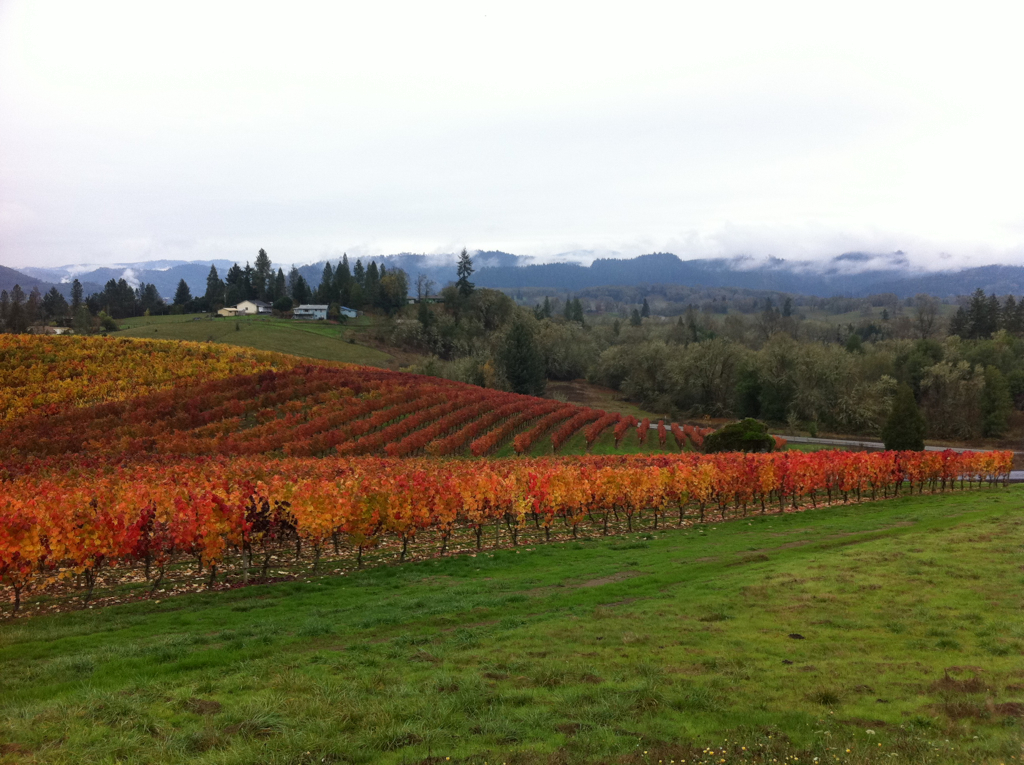
Abacela I
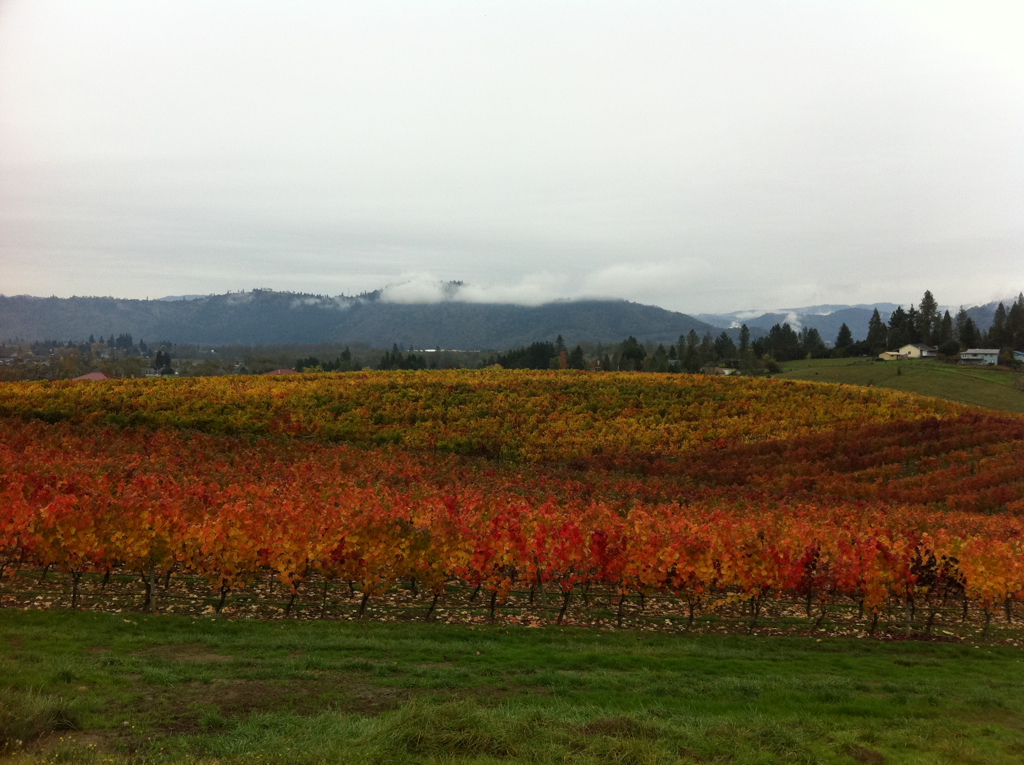
Abacela II
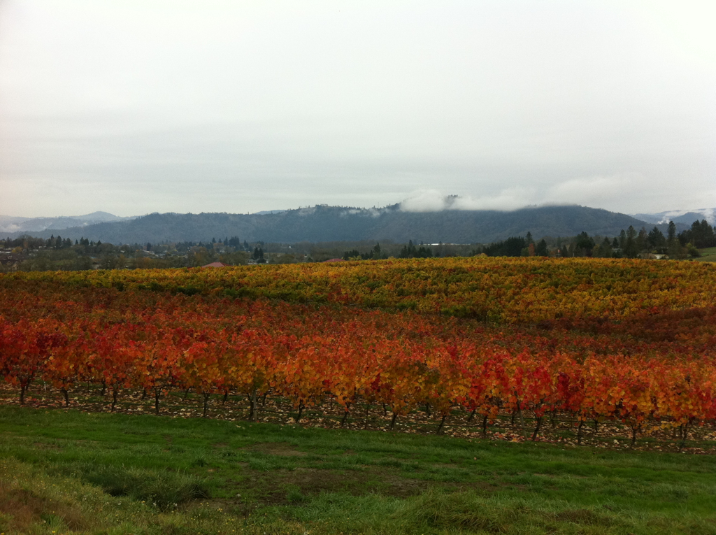
Abacela III
Topographic Map of W Hickory St, Roseburg, OR, USA
Find elevation by address:

Places near W Hickory St, Roseburg, OR, USA:
930 W Hickory St
940 W Hickory St
899 W Hickory St
890 W Hickory St
3334 W Normandy Ave
2822 W Sherwood Ave
428 W Broccoli St
2616 Nw Loma Vista Dr
1376 Cedar Ridge Ct
295 W Oriole Dr
1670 Nw Kline St
Northwest Vale Court
2575 Nw Troost St
717 W Wharton St
2916 Nw Ralinda Ct
519 W Maple St
2553 Nw Stewart Pkwy
100 Se Templin Ave
Roseburg Regional Airport-rbg
Recent Searches:
- Elevation of Jalan Senandin, Lutong, Miri, Sarawak, Malaysia
- Elevation of Bilohirs'k
- Elevation of 30 Oak Lawn Dr, Barkhamsted, CT, USA
- Elevation of Luther Road, Luther Rd, Auburn, CA, USA
- Elevation of Unnamed Road, Respublika Severnaya Osetiya — Alaniya, Russia
- Elevation of Verkhny Fiagdon, North Ossetia–Alania Republic, Russia
- Elevation of F. Viola Hiway, San Rafael, Bulacan, Philippines
- Elevation of Herbage Dr, Gulfport, MS, USA
- Elevation of Lilac Cir, Haldimand, ON N3W 2G9, Canada
- Elevation of Harrod Branch Road, Harrod Branch Rd, Kentucky, USA