Elevation of W Ford Loop Rd, Elma, WA, USA
Location: United States > Washington > Grays Harbor County > Elma >
Longitude: -123.44791
Latitude: 47.1552689
Elevation: -10000m / -32808feet
Barometric Pressure: 295KPa
Elevation Map:
Satellite Map:
Related Photos:

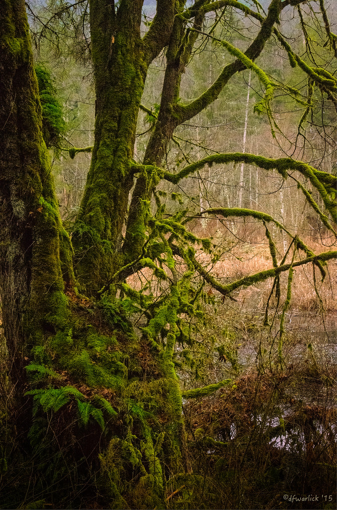
IMG_1467 Schafer Park

IMG_1451 Usnea longissima

IMG_1461 Hairy Woodpecker

IMG_1463 Wilsons Warbler

IMG_8259 Juvenile White-crowned Sparrow

IMG_8263 American robin - Turdus migratorius

PC4A Stumps

Decker Creek

The Bio-Intensity of Washington State
The Bio-Intensity of Washington State

Olympic Mountains

A nice spot for a break
Topographic Map of W Ford Loop Rd, Elma, WA, USA
Find elevation by address:

Places near W Ford Loop Rd, Elma, WA, USA:
3115 Matlock-brady Rd
531 W Dry Bed Creek Rd
115 Homestead Ln
201 W Maple Rock Rd
21 Barcelona Lane
21 Barcelona Lane
490 W Maple Rock Rd
580 W Maple Rock Rd
29 Matlock-Brady Rd, Elma, WA, USA
Matlock
West Beeville Road
West Beeville Road
Middle Fork Satsop River
Satsop Riviera Loop
115 Powers Creek Rd
Middle Satsop Road
109 Cedarwood Dr
921 Garden Hill Rd W
118 Blossom Ln
113 Heritage Dr
Recent Searches:
- Elevation of Tenjo, Cundinamarca, Colombia
- Elevation of Côte-des-Neiges, Montreal, QC H4A 3J6, Canada
- Elevation of Bobcat Dr, Helena, MT, USA
- Elevation of Zu den Ihlowbergen, Althüttendorf, Germany
- Elevation of Badaber, Peshawar, Khyber Pakhtunkhwa, Pakistan
- Elevation of SE Heron Loop, Lincoln City, OR, USA
- Elevation of Slanický ostrov, 01 Námestovo, Slovakia
- Elevation of Spaceport America, Co Rd A, Truth or Consequences, NM, USA
- Elevation of Warwick, RI, USA
- Elevation of Fern Rd, Whitmore, CA, USA