Elevation of W Cummington Rd, Cummington, MA, USA
Location: United States > Massachusetts > Hampshire County > Cummington >
Longitude: -72.939040
Latitude: 42.4453733
Elevation: 430m / 1411feet
Barometric Pressure: 96KPa
Elevation Map:
Satellite Map:
Related Photos:

it's not about the destination, it's about the journey
Pony Mountain, Ashfield
Foliage point on Great River Ride (this time with sheep!)

Fair View
The Midway

Nature's Lines and Curves
Farm Road
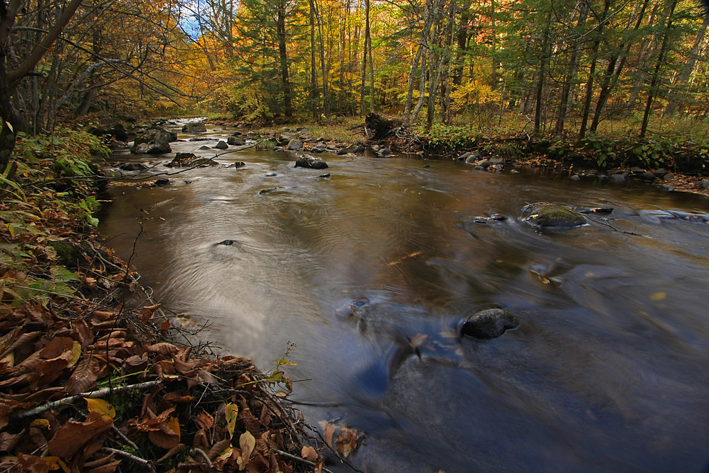
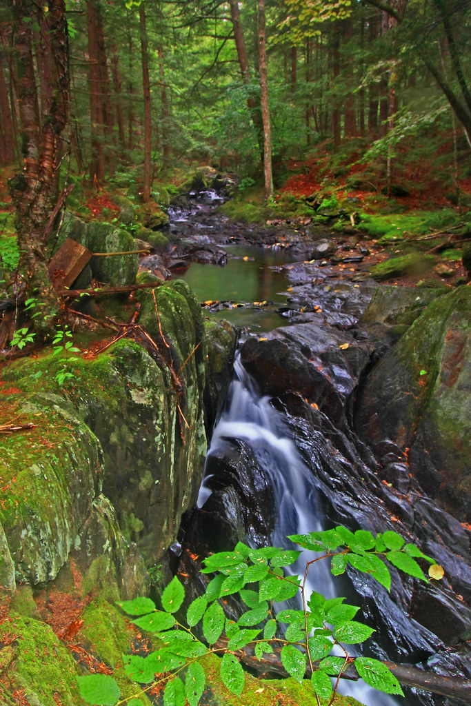
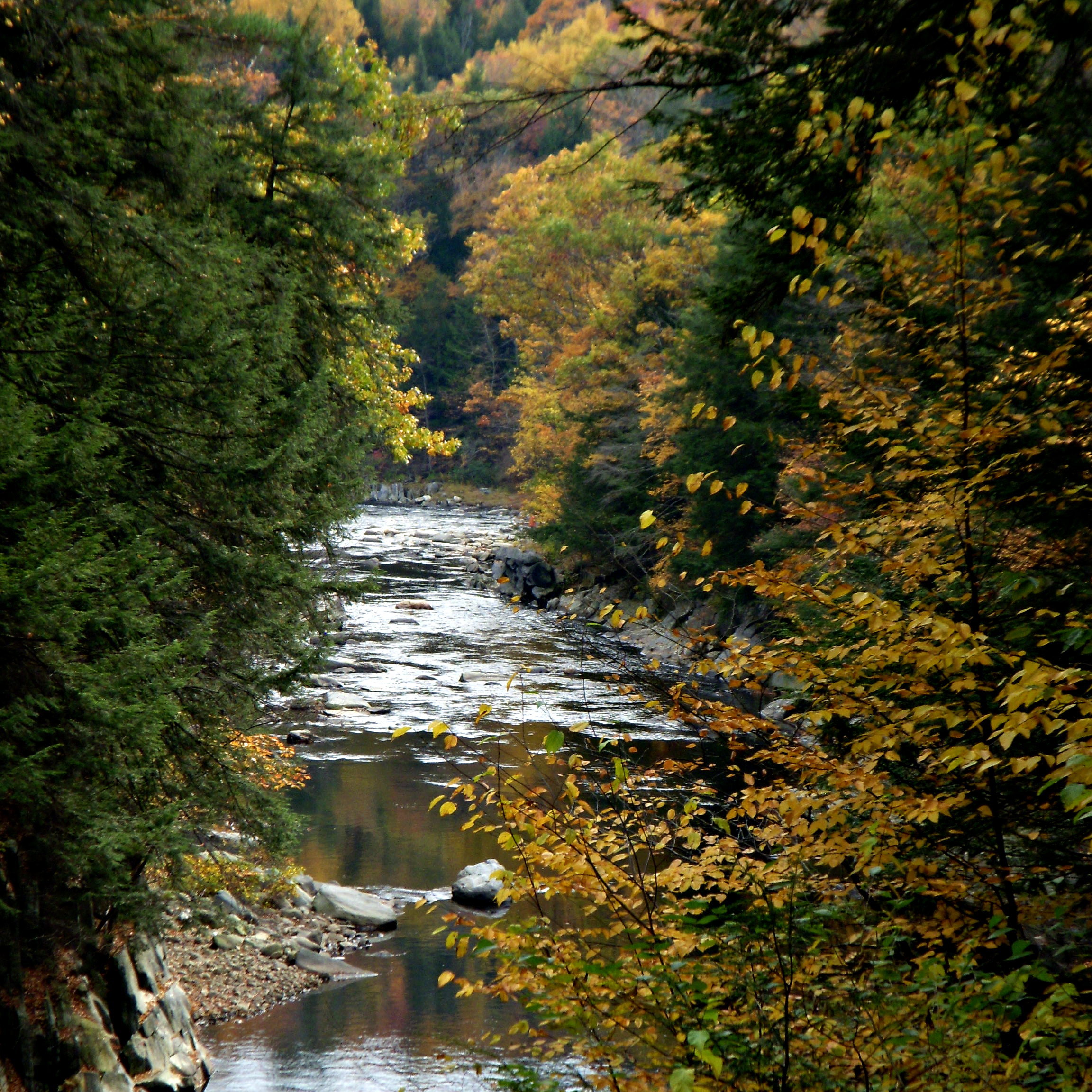
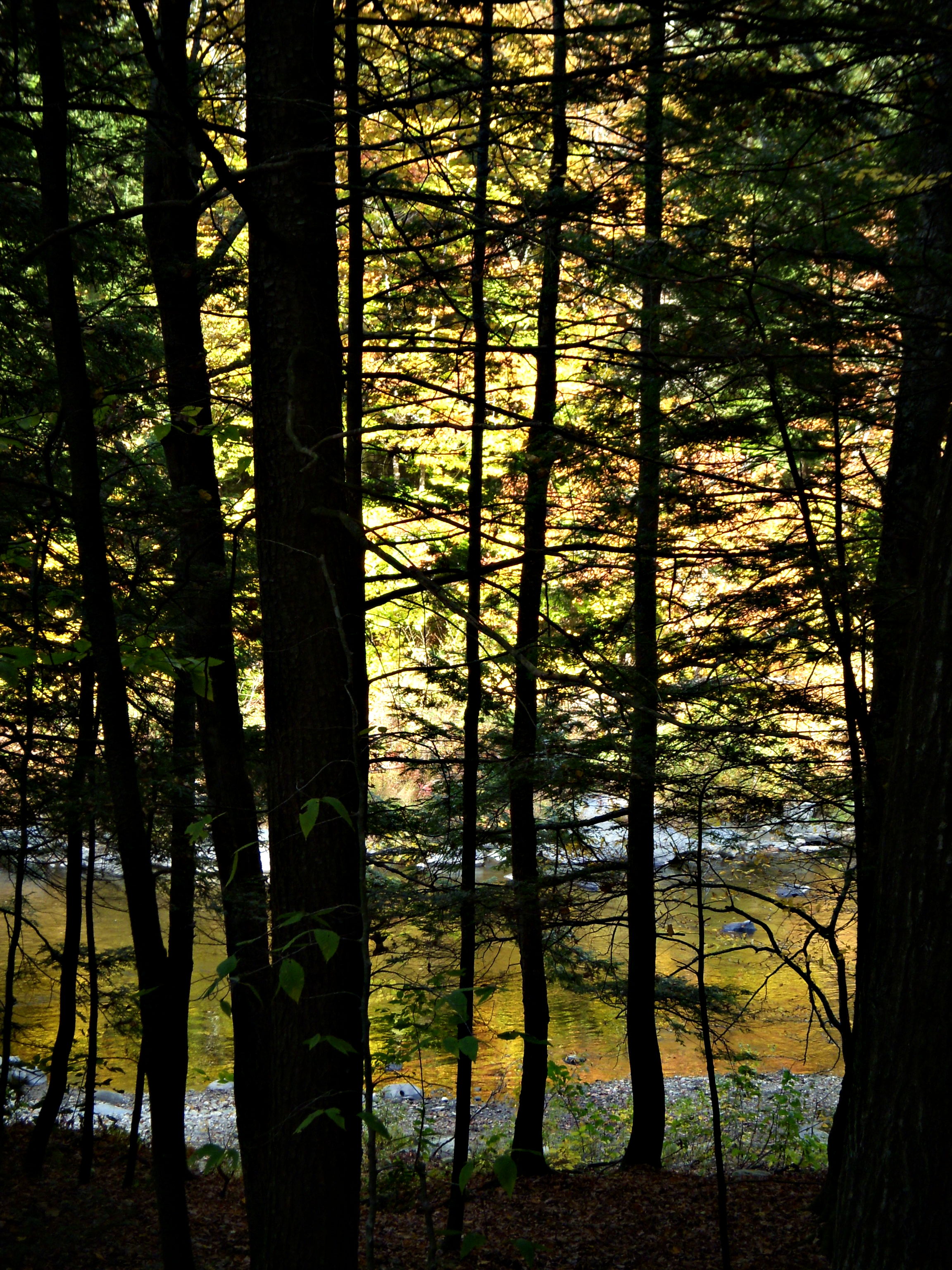
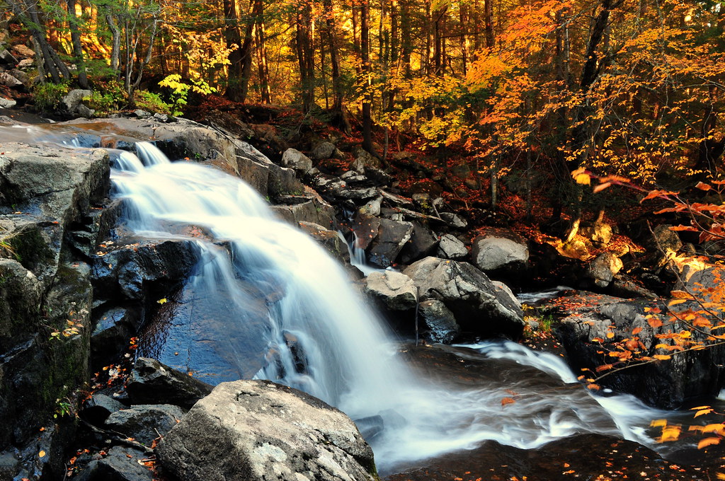
The Soothing Flow of a Woodland Stream
A Brook in Fall
On the Way to the Emerald Pool
Porch View
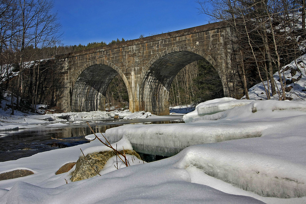
Double Arch

The Mill Stream

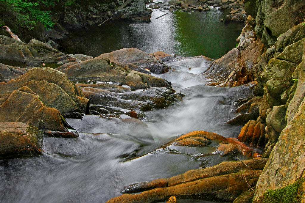
Chesterfield Gorge
Chocolate Milk, Anyone?
Clark Hill in Worthington, Massachusetts
work view
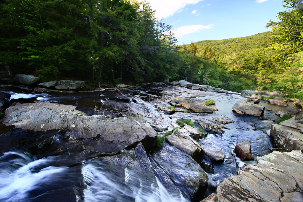
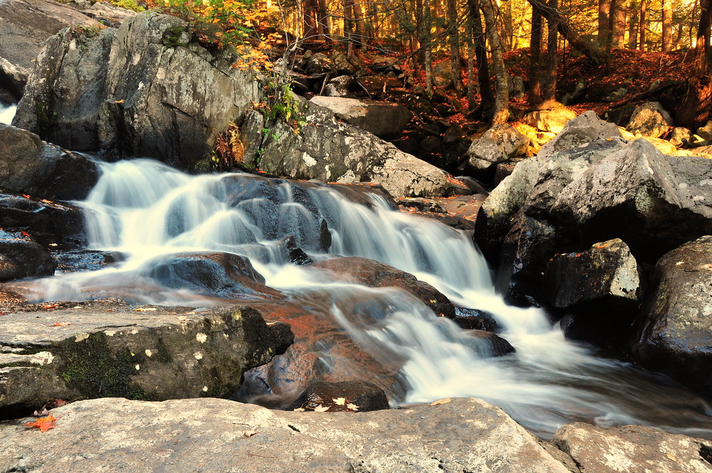
Top of the Falls
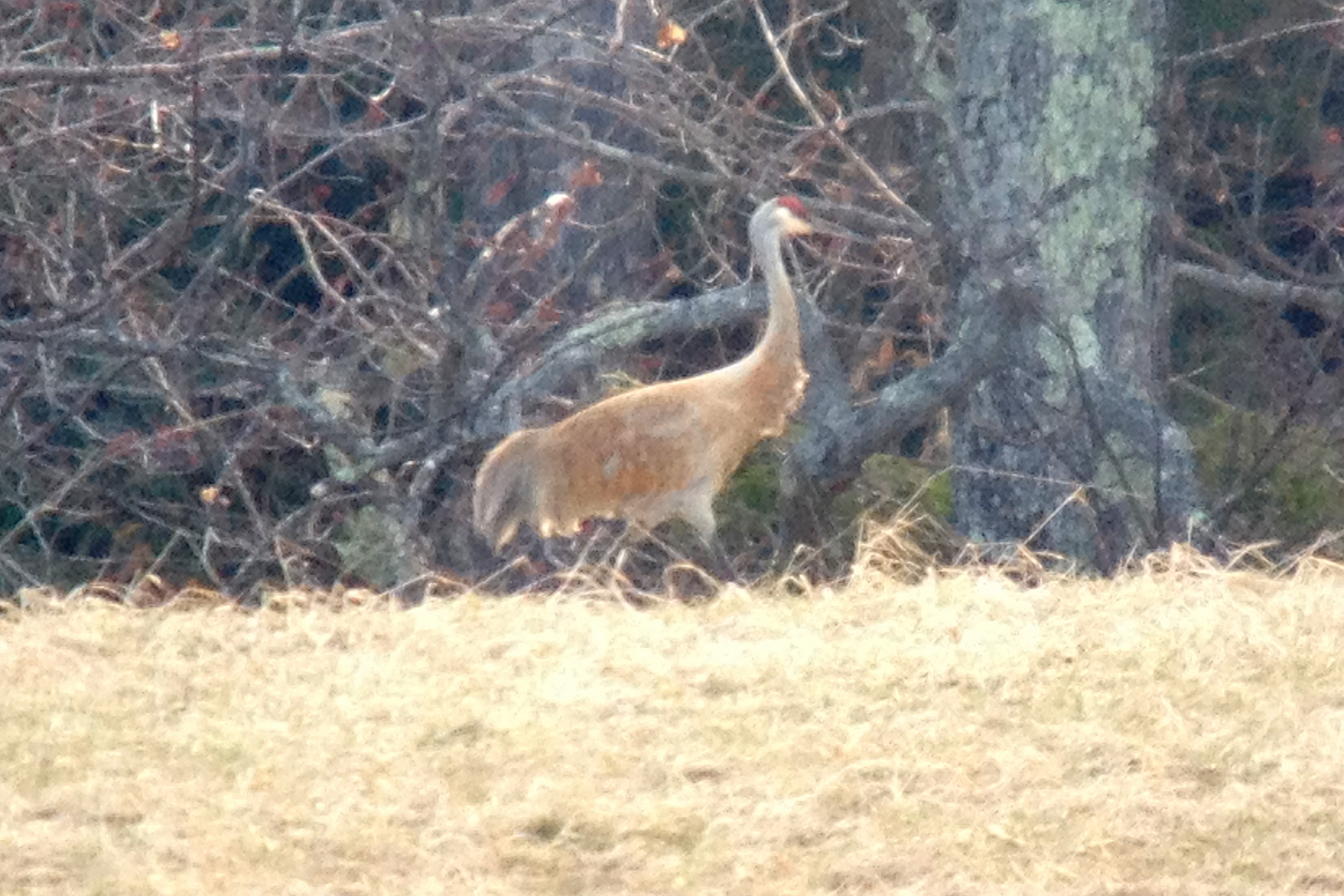
Sandhill Crane

Westfield River - West Branch
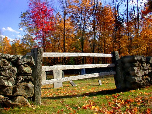
Cemetery gate
Waiting for the Fairies

Common Yellowthroat
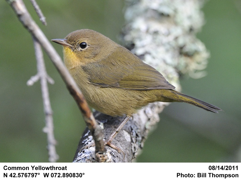
Common Yellowthroat
Chesterfield Gorge

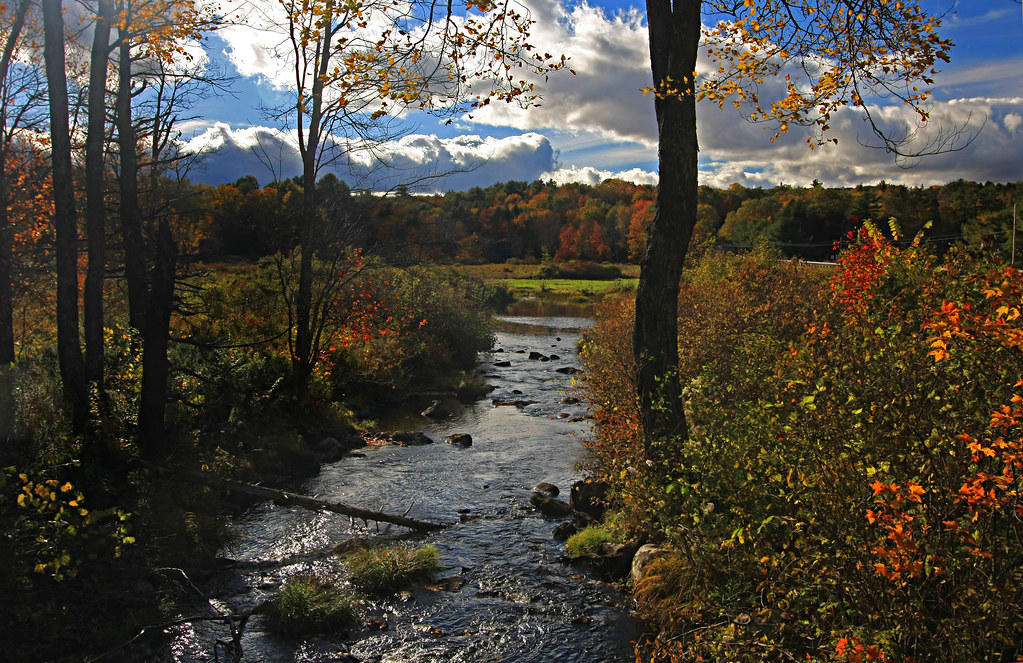
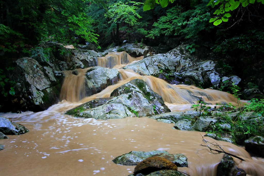
Colored River

Frozen Solid at Wahconah Falls
Light and Dark
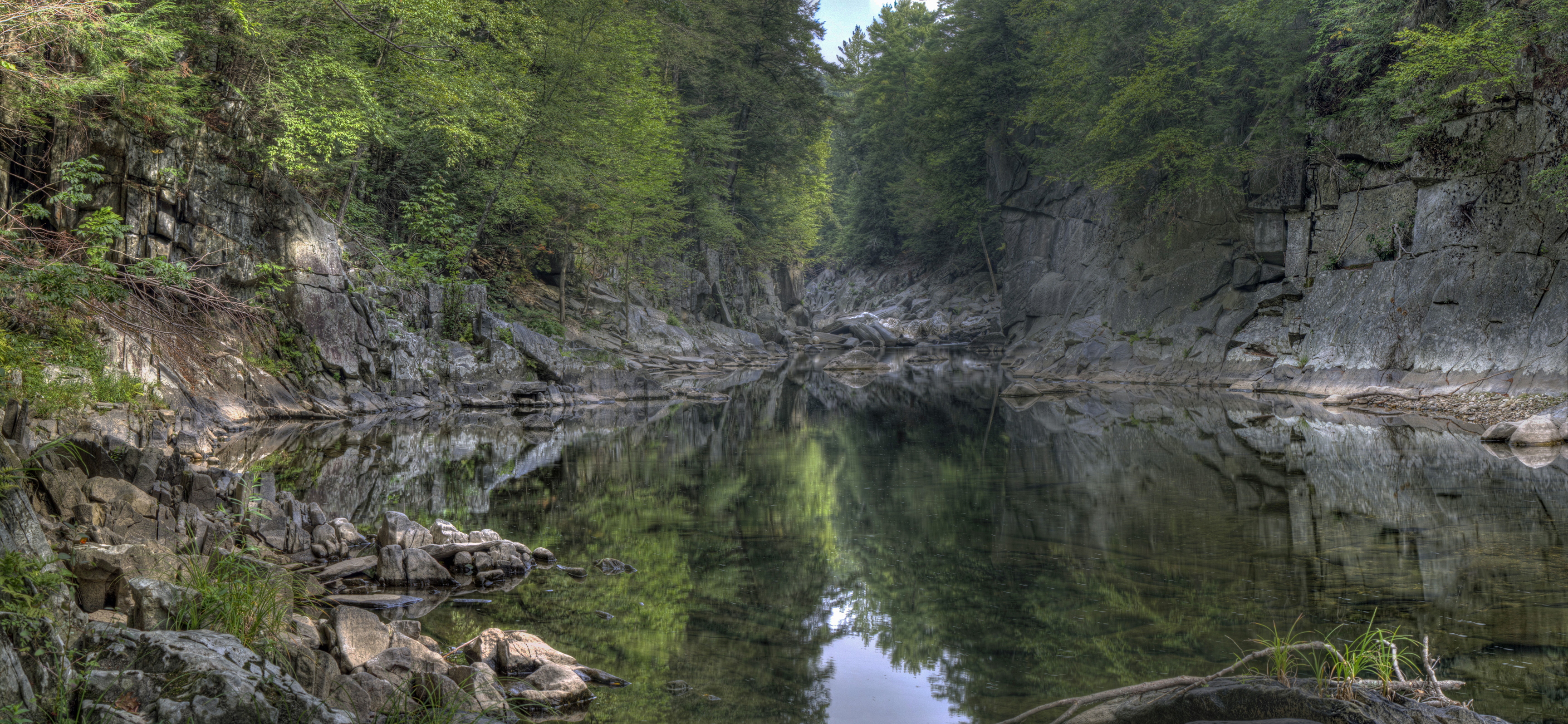
Chesterfield Gorge

Swamp Sparrow
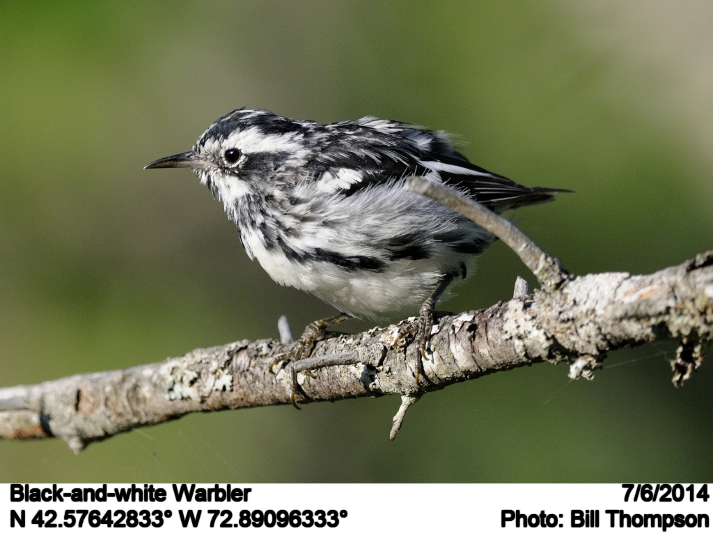
Black-and-white Warbler

West Branch, Westfield River
Glendale Falls 2
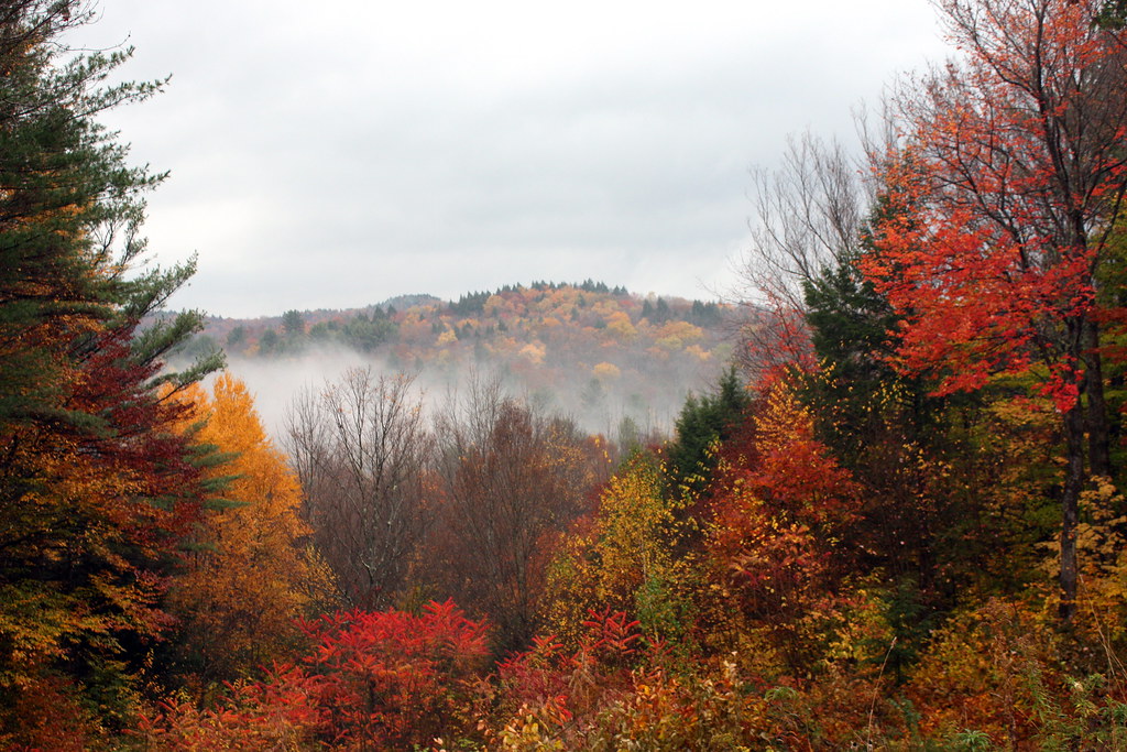
Autumn Falls

Swamp Sparrow

Common Yellowthroat

Song Sparrow
Topographic Map of W Cummington Rd, Cummington, MA, USA
Find elevation by address:

Places near W Cummington Rd, Cummington, MA, USA:
34 Powell Rd
39 Powell Rd
2 Cudworth Rd
34 Powell Rd
42 Powell Rd
Powell Road
Listons Bar & Grill
111 Old North Rd
Old North Rd, Worthington, MA, USA
51 Bug Hill Rd
234 Powell Rd
288 Ridge Rd
159 Buffington Hill Rd
555 Old North Rd
11 Old Post Rd
40 Old Post Rd
24 Lightning Bug Rd
Luther Shaw Road
66 Starkweather Hill Rd
Starkweather Hill Road
Recent Searches:
- Elevation of Felindre, Swansea SA5 7LU, UK
- Elevation of Leyte Industrial Development Estate, Isabel, Leyte, Philippines
- Elevation of W Granada St, Tampa, FL, USA
- Elevation of Pykes Down, Ivybridge PL21 0BY, UK
- Elevation of Jalan Senandin, Lutong, Miri, Sarawak, Malaysia
- Elevation of Bilohirs'k
- Elevation of 30 Oak Lawn Dr, Barkhamsted, CT, USA
- Elevation of Luther Road, Luther Rd, Auburn, CA, USA
- Elevation of Unnamed Road, Respublika Severnaya Osetiya — Alaniya, Russia
- Elevation of Verkhny Fiagdon, North Ossetia–Alania Republic, Russia