Elevation of W Clarkson Ave, Cantua Creek, CA, USA
Location: United States > California > Fresno County >
Longitude: -120.31712
Latitude: 36.500896
Elevation: 91m / 299feet
Barometric Pressure: 100KPa
Elevation Map:
Satellite Map:
Related Photos:

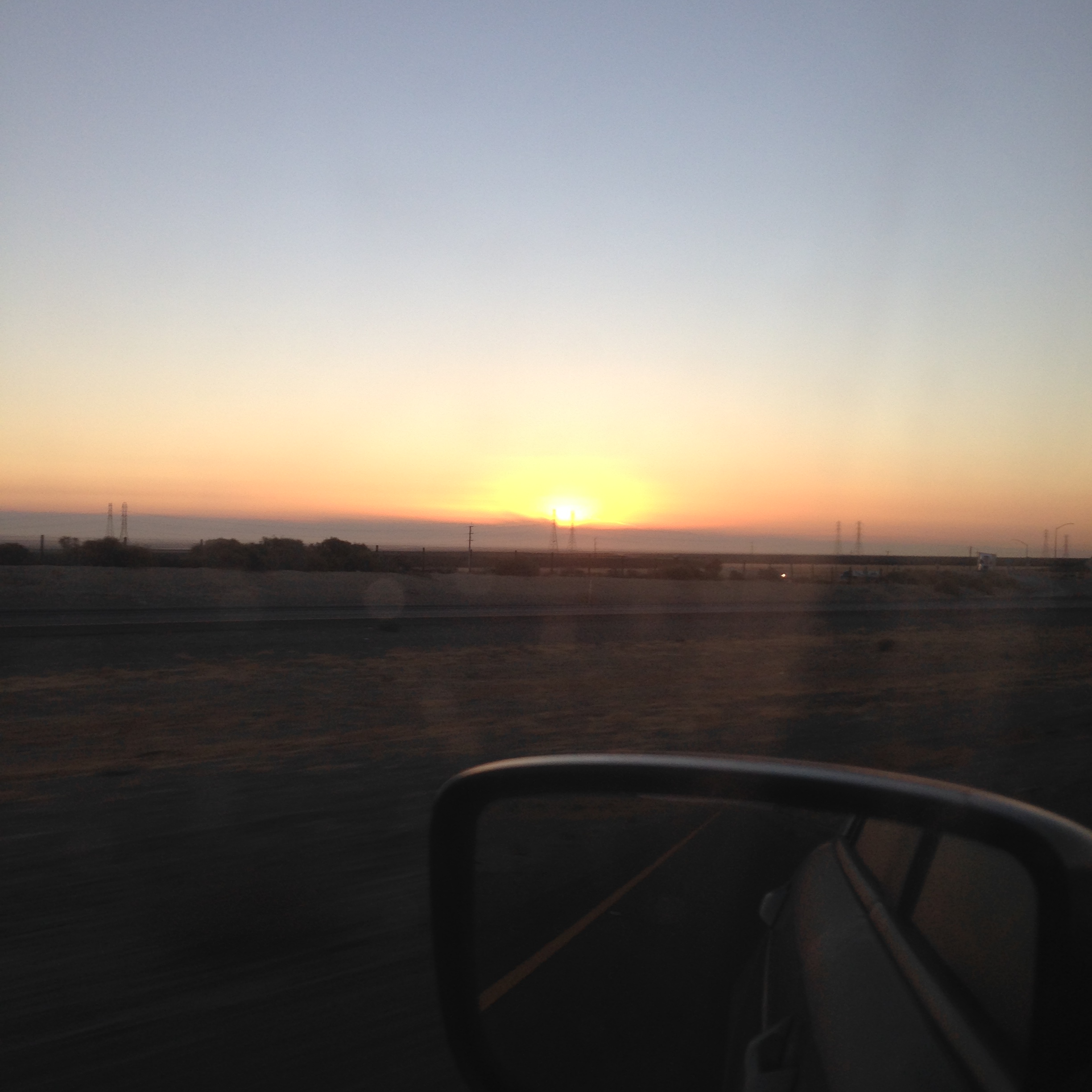
The 10 hour vacation in California fades into the rear view mirror
Recently Added-72
Recently Added-67

Recently Added-66
Recently Added-68
2015-09-23 06.53.06
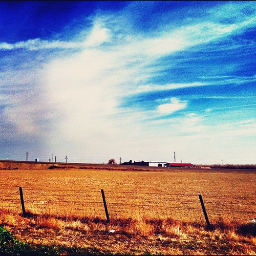
#roadtrip
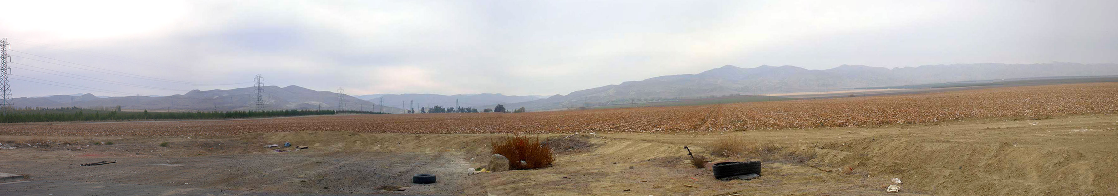
wpanoche-cotton-pano
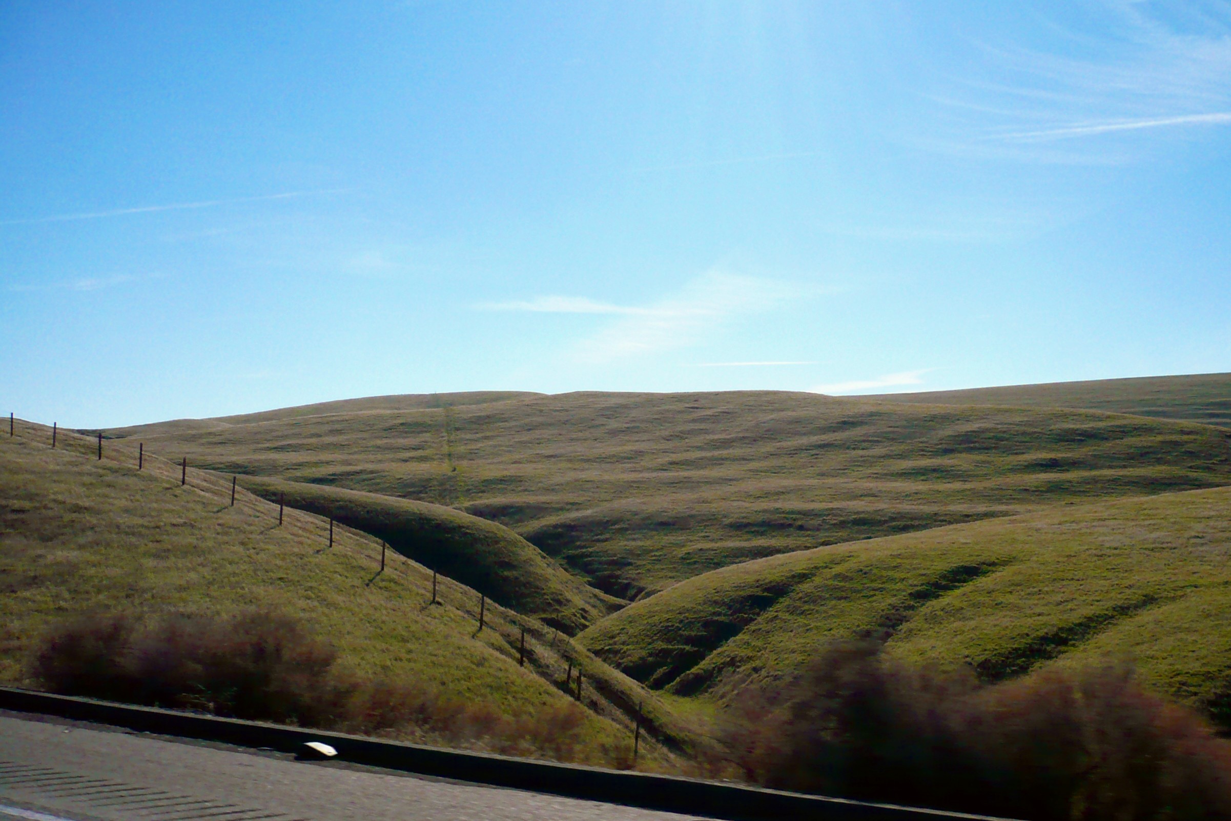
I-5 Southbound, CA
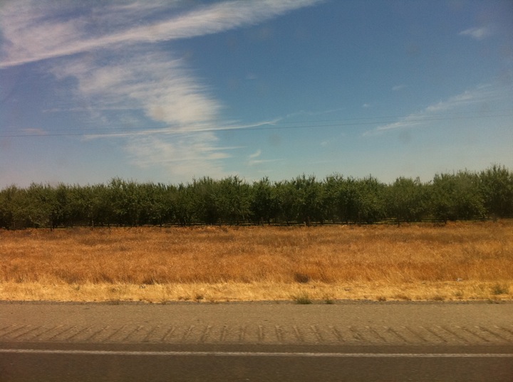
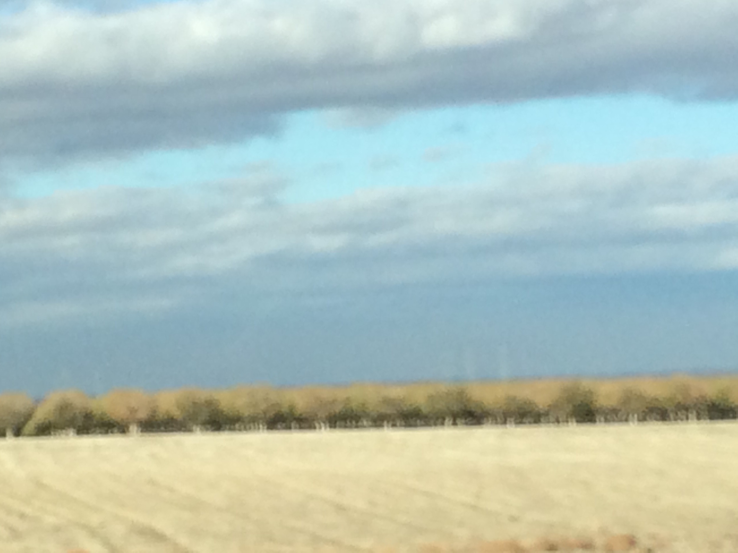
almond trees from the 5
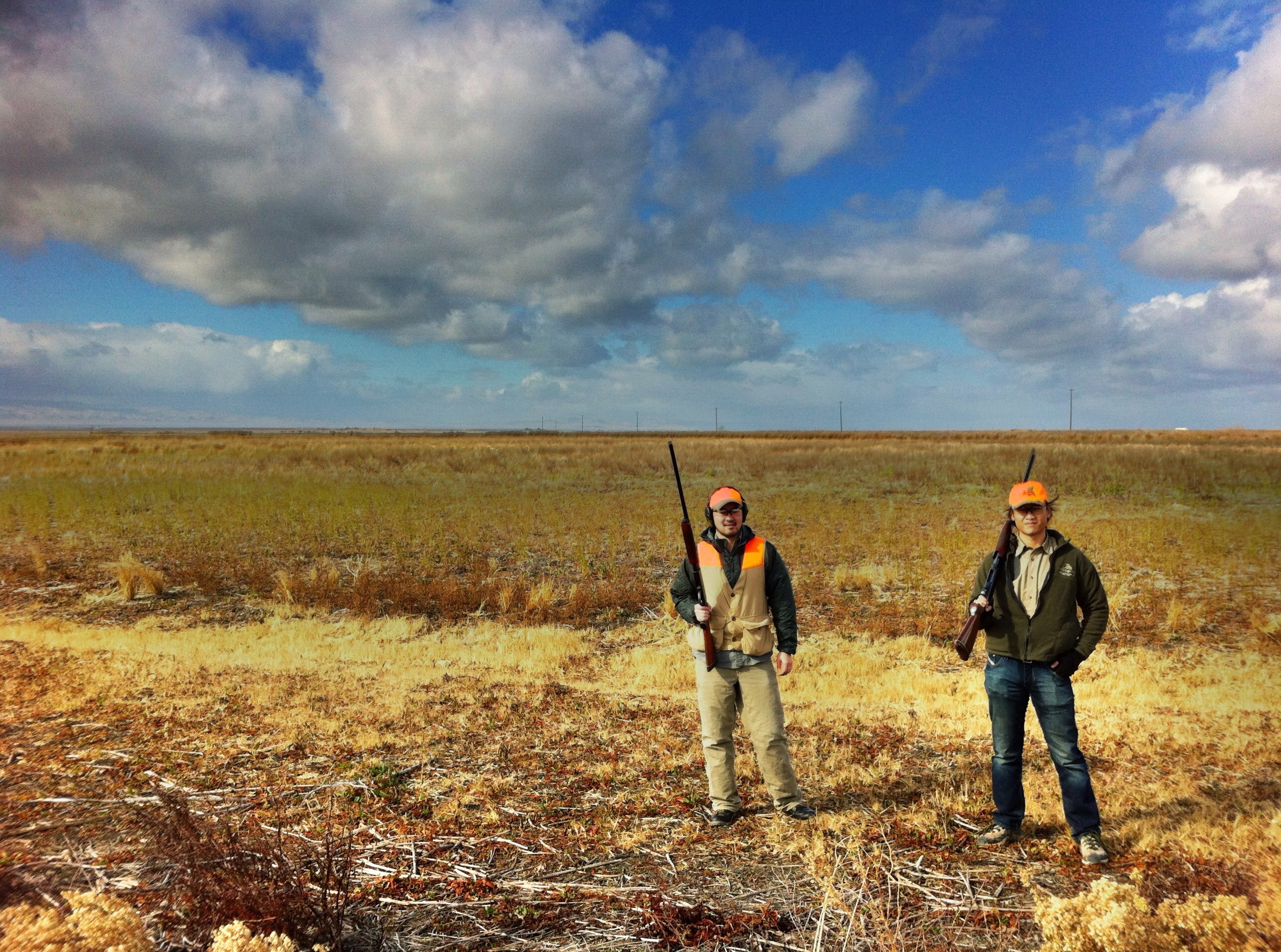
andy and lester

in the field
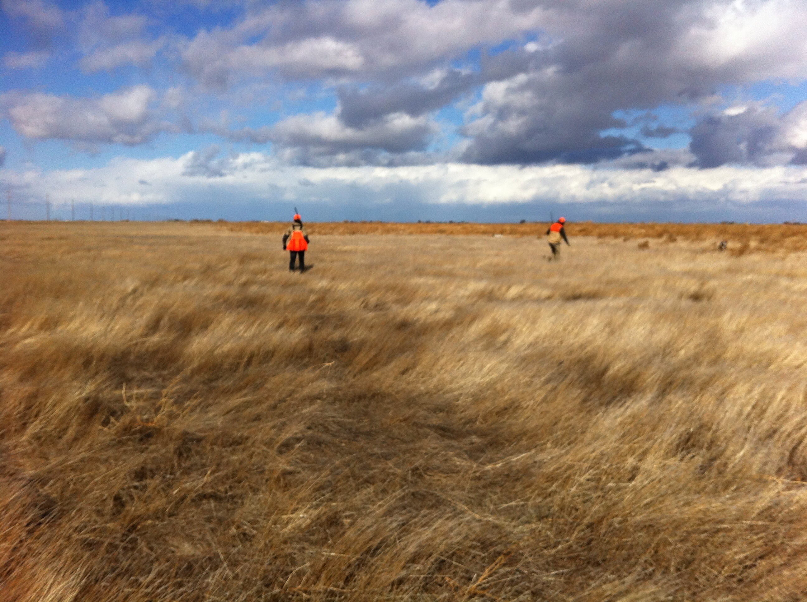
working the field
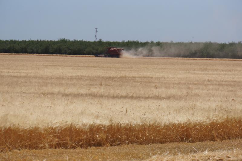
California 2012 07
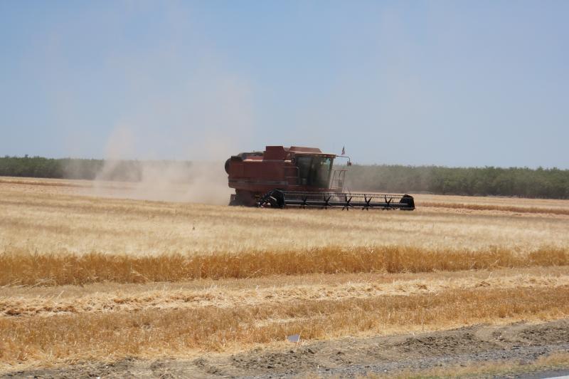
California 2012 07
California 2012 07
California 2012 07
California 2012 07
California 2012 07
Topographic Map of W Clarkson Ave, Cantua Creek, CA, USA
Find elevation by address:

Places near W Clarkson Ave, Cantua Creek, CA, USA:
Cantua Creek
W Excelsior Ave, Five Points, CA, USA
Lassen Ave, Helm, CA, USA
Helm
Five Points
West Hills Community College District
Coalinga Plaza, Coalinga, CA, USA
Coalinga
Huron
40475 S El Dorado Ave
40475 S El Dorado Ave
40475 S El Dorado Ave
S Bryan Ave, Riverdale, CA, USA
Parkfield Grade, Coalinga, CA, USA
Riverdale
W Mt Whitney Ave, Riverdale, CA, USA
Caruthers
14911 S West Ave
20554 Fargo Ave
50901 Parkfield Grade
Recent Searches:
- Elevation of Corso Fratelli Cairoli, 35, Macerata MC, Italy
- Elevation of Tallevast Rd, Sarasota, FL, USA
- Elevation of 4th St E, Sonoma, CA, USA
- Elevation of Black Hollow Rd, Pennsdale, PA, USA
- Elevation of Oakland Ave, Williamsport, PA, USA
- Elevation of Pedrógão Grande, Portugal
- Elevation of Klee Dr, Martinsburg, WV, USA
- Elevation of Via Roma, Pieranica CR, Italy
- Elevation of Tavkvetili Mountain, Georgia
- Elevation of Hartfords Bluff Cir, Mt Pleasant, SC, USA