Elevation of W Cherry Rd, Hayesville, NC, USA
Location: United States > North Carolina > Clay County > Hayesville > Hayesville >
Longitude: -83.86187
Latitude: 35.0274969
Elevation: 716m / 2349feet
Barometric Pressure: 93KPa
Elevation Map:
Satellite Map:
Related Photos:

Sunset of Totality

20170824_F0001: First bite of the sun

Milky Way

View of Eagle Mountain - W4G/NG-008

Backlit - Lake Chatuge, North Carolina

IMG_5042-55518

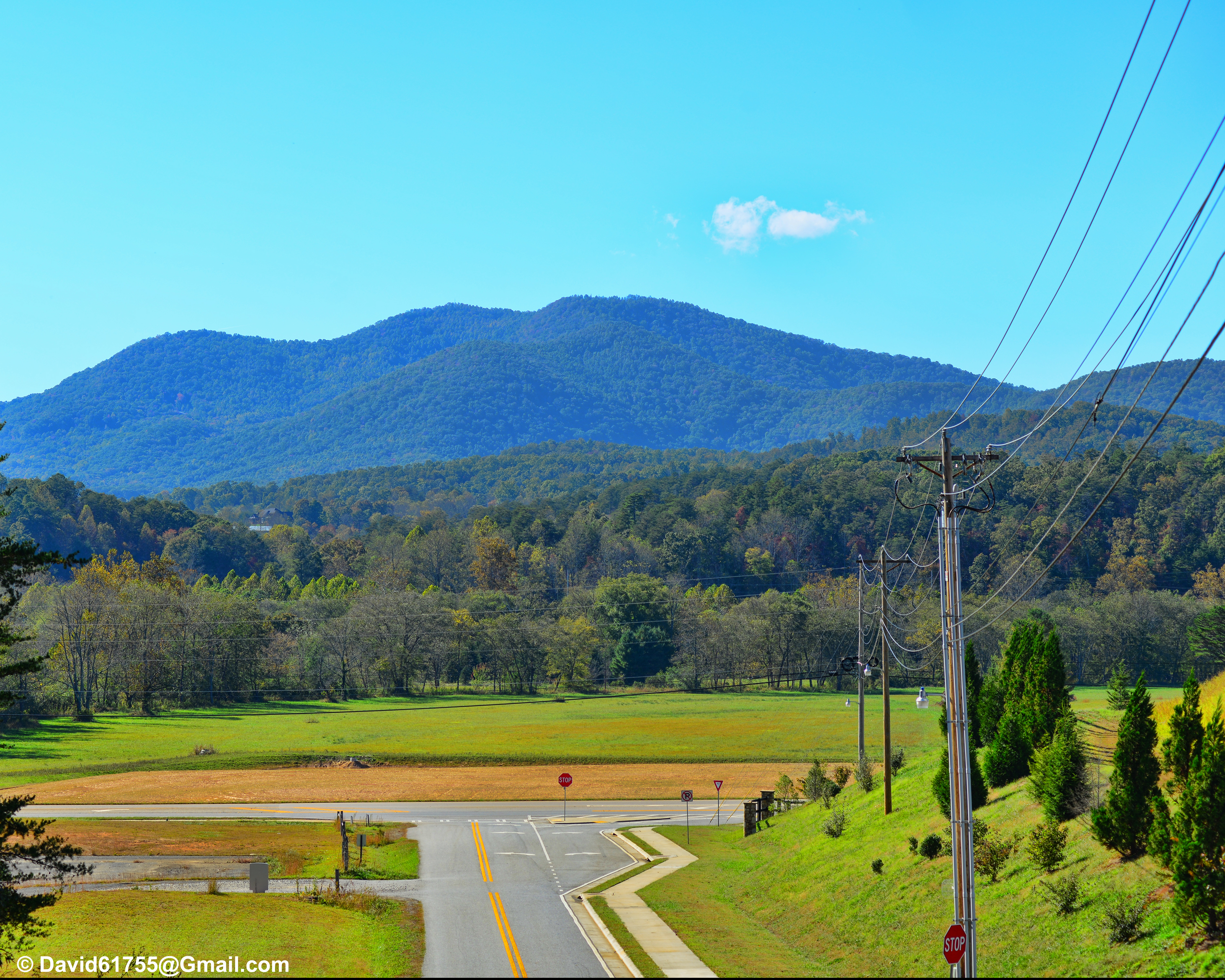
Morning view in Murphy, NC

IMG_4957-55518
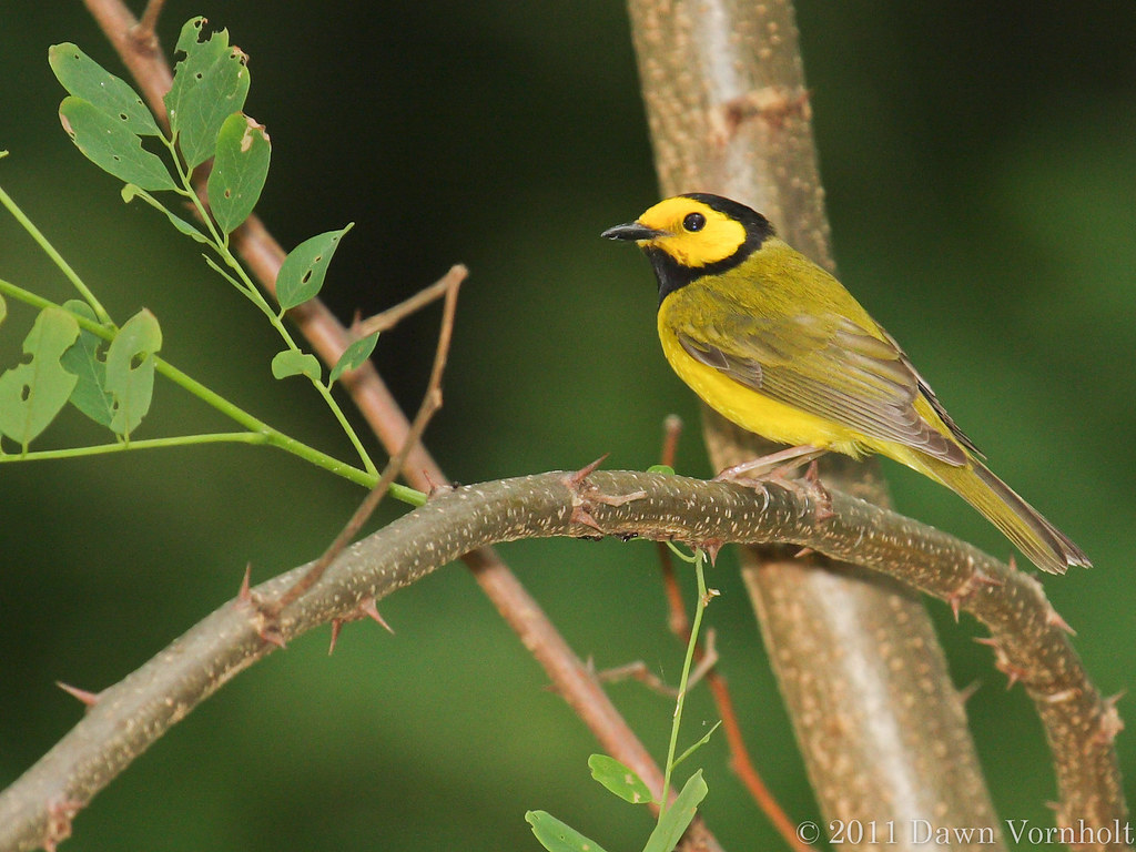
Hooded warbler

IMG_4944-55518

20170829_F0001: Misty Appalachians night
Just Because I Liked the View

IMG_5025-55518

Lake Chatuge from Bell Mtn

IMG_4949-55518

Someone Has an Excellent View

lake view of the vineyard

20170823_F0001: The black hole that a dragon ate

IMG_4945-55518

IMG_5046-55518

Morning view in Murphy, NC.

Lake Chatuge

20170826_F0001: The moving world

Lake Chatuge Sunset

Grass along the shoreline
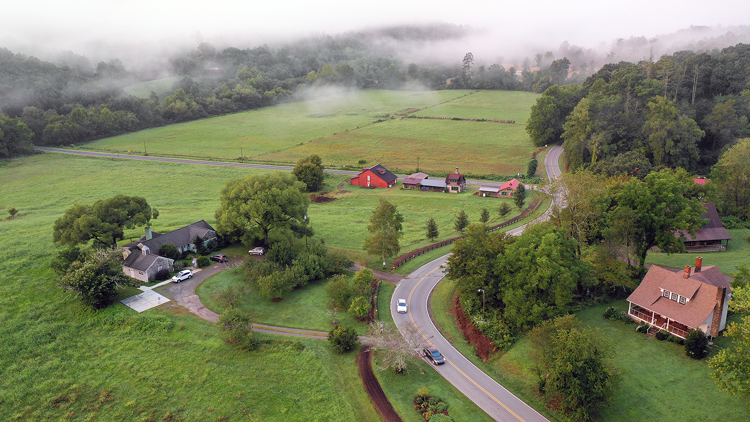
Folk School scene in the morning

Lynn Waldroup baling hay
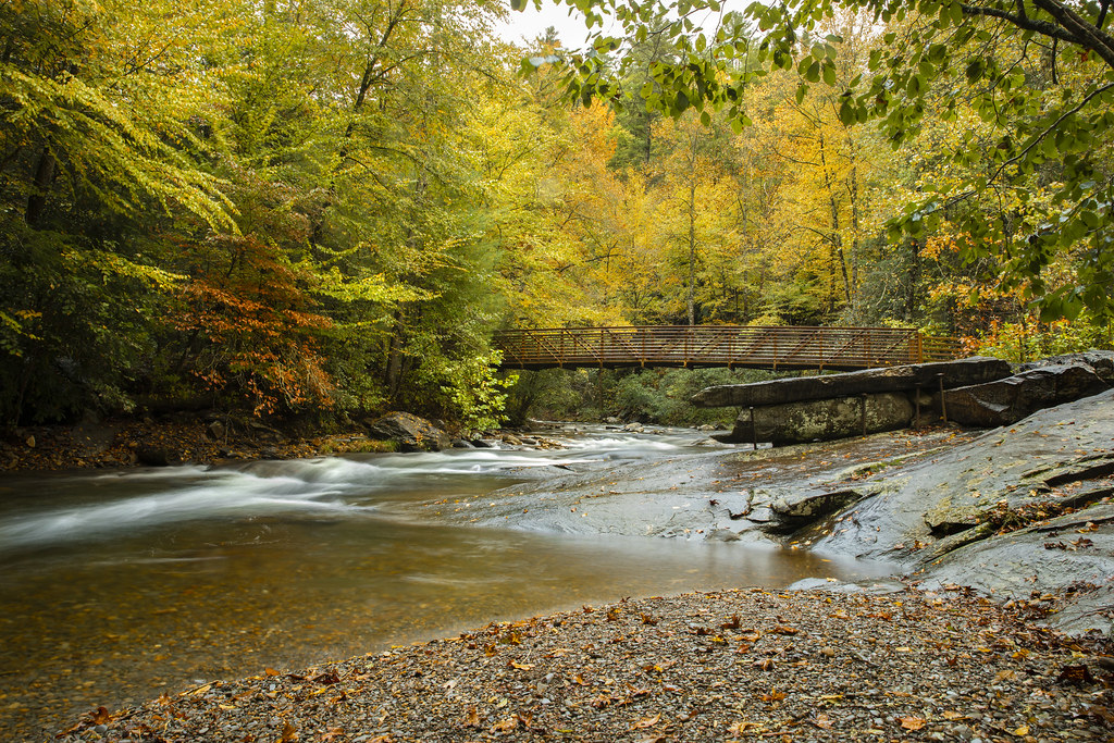
Fires Creek Pedestrian Bridge

140704-3015 Chatuge Lake

Bell Knob - W4G/NG-035
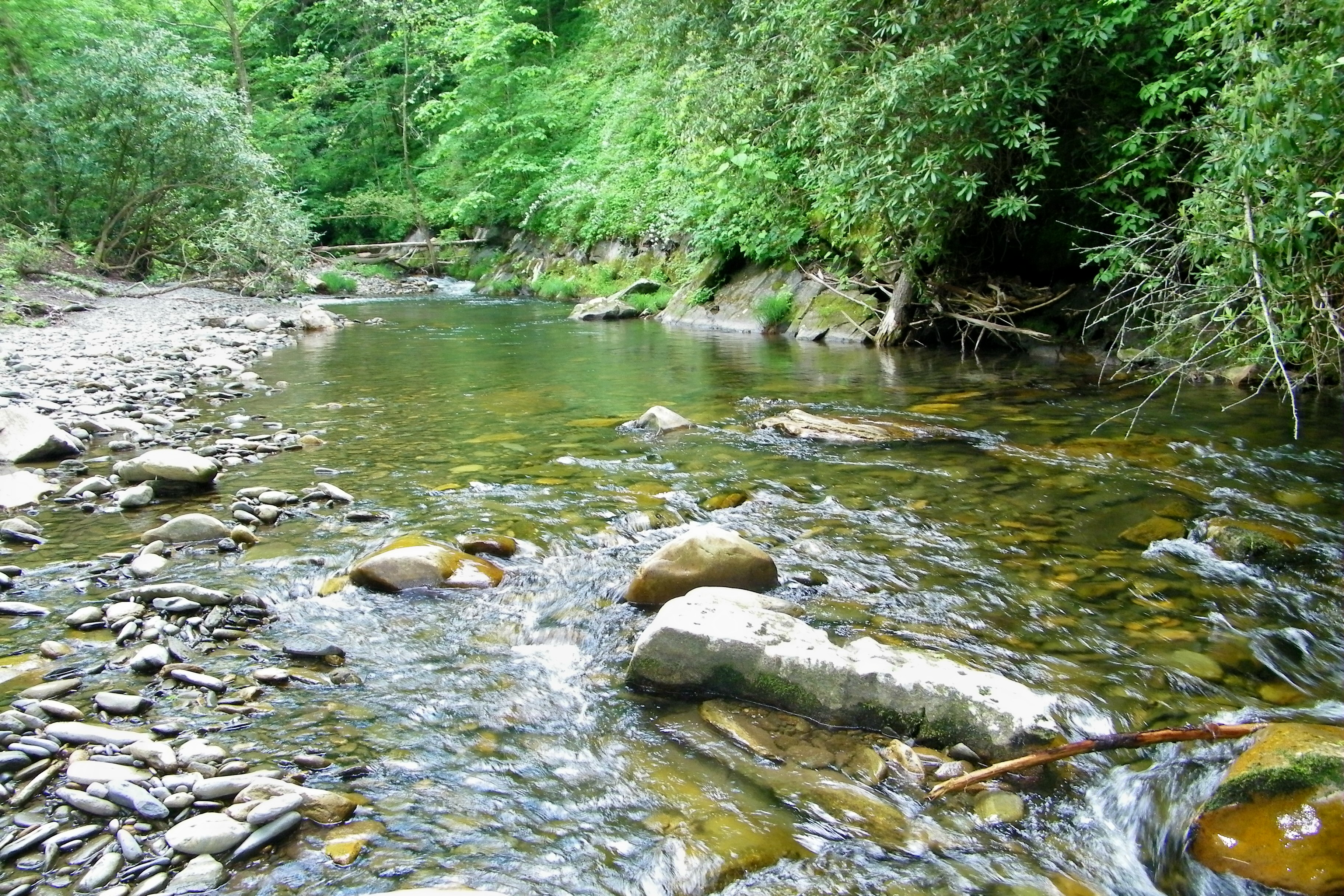
Fires Creek
Topographic Map of W Cherry Rd, Hayesville, NC, USA
Find elevation by address:

Places near W Cherry Rd, Hayesville, NC, USA:
Ridge Trail
488 W Cherry Rd
223 Ivy Knob Terrace
311 Blair Creek Ridge
368 Beacon Hill Ln
213 Echo Hill Dr
356 Watters Rd
1280 Cherry Rd
26 Double M Ln
481 Watters Rd
717 Pope Cove Trail
259 Frontier Dr
470 Old Cherry Mountain Trail
134 Bluebird Ln
225 Davy Mountain Dr
230 Pinners Point
357 Ridge View Ln
328 Ridge View Ln
566 Old Cherry Mountain Trail
478 Longview Dr
Recent Searches:
- Elevation of Pykes Down, Ivybridge PL21 0BY, UK
- Elevation of Jalan Senandin, Lutong, Miri, Sarawak, Malaysia
- Elevation of Bilohirs'k
- Elevation of 30 Oak Lawn Dr, Barkhamsted, CT, USA
- Elevation of Luther Road, Luther Rd, Auburn, CA, USA
- Elevation of Unnamed Road, Respublika Severnaya Osetiya — Alaniya, Russia
- Elevation of Verkhny Fiagdon, North Ossetia–Alania Republic, Russia
- Elevation of F. Viola Hiway, San Rafael, Bulacan, Philippines
- Elevation of Herbage Dr, Gulfport, MS, USA
- Elevation of Lilac Cir, Haldimand, ON N3W 2G9, Canada