Elevation of W Black Canyon Blvd, Phoenix, AZ, USA
Location: United States > Arizona > Maricopa County > Phoenix > North Gateway >
Longitude: -112.14640
Latitude: 33.8042473
Elevation: 505m / 1657feet
Barometric Pressure: 95KPa
Elevation Map:
Satellite Map:
Related Photos:

Evening view of the Phoenix, Arizona Mormon Temple

My Picture of Ducks for thomas23

In the Wash (Closeup)
More friday afternoon views.
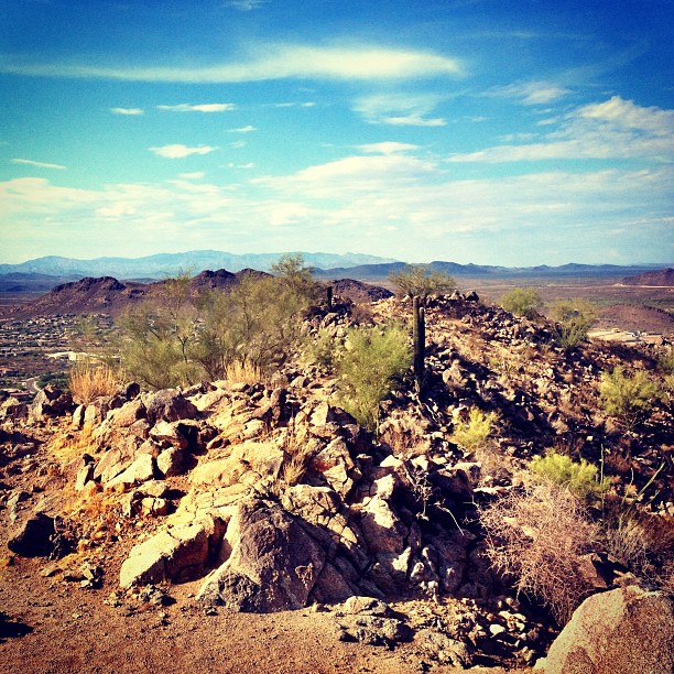
View from Top
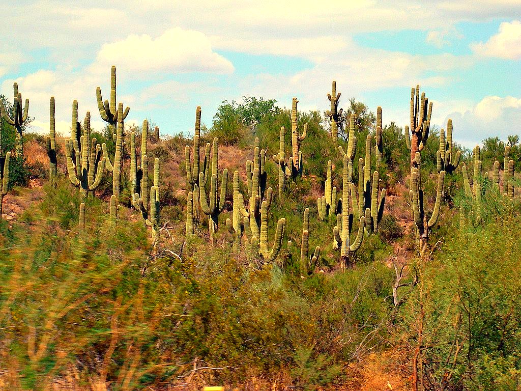
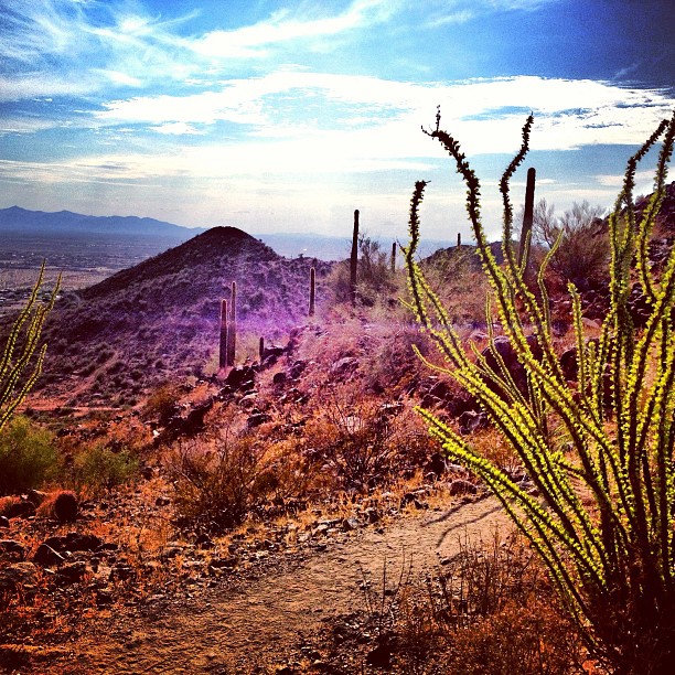
Desert Forest
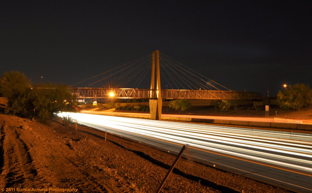
(Unfinished) Bridge over loop 101 at 63rd ave in Glendale AZ

Sun view

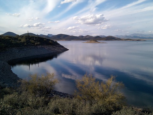
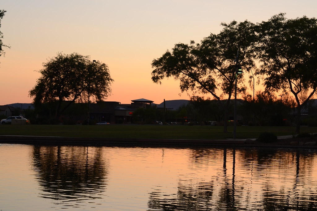
Another view of Sunset Cove

Inside-out view

The West Gets All The Best Colors . . .
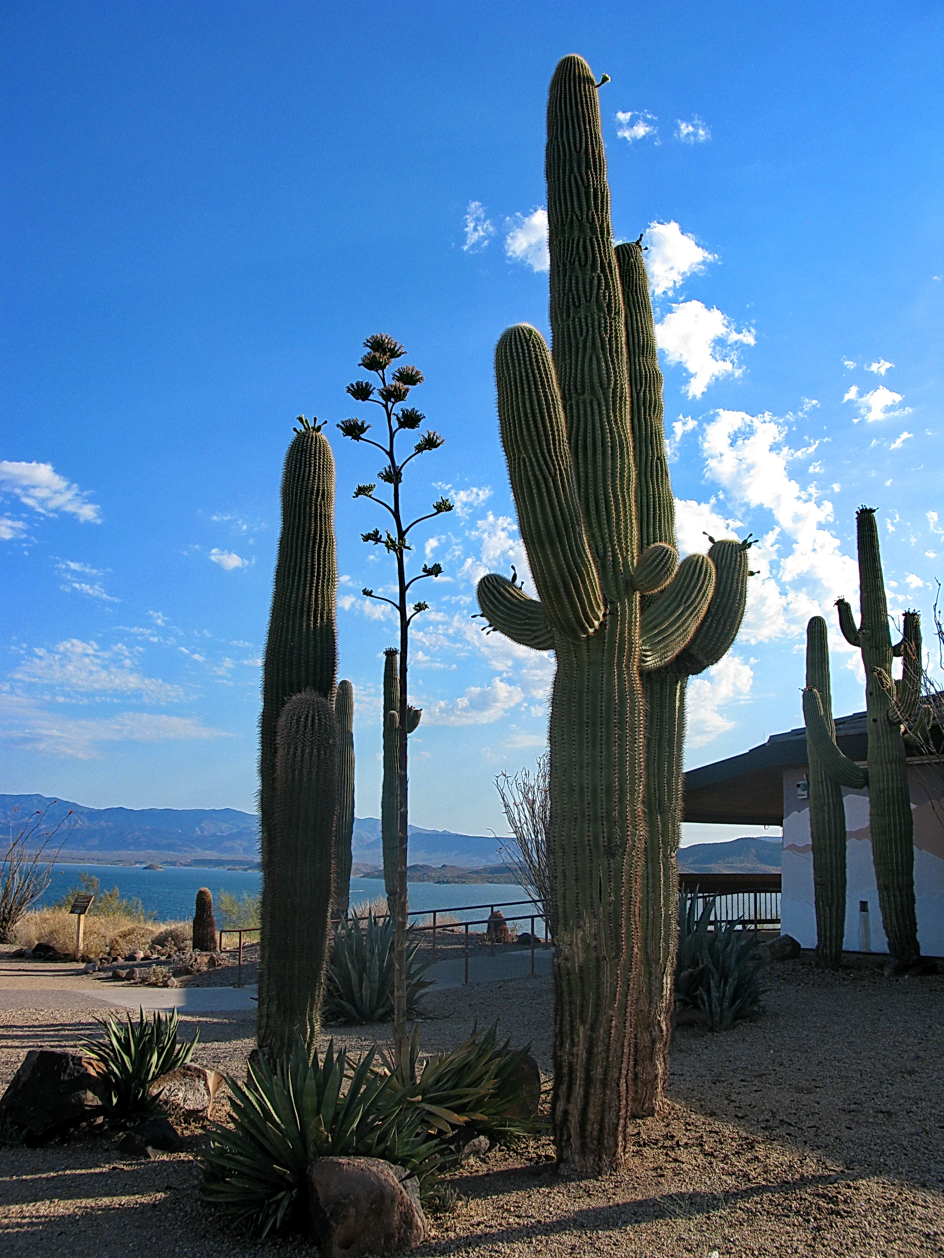
Saguaros by Lake Pleasant Visitor Center
Runway Beacon Light
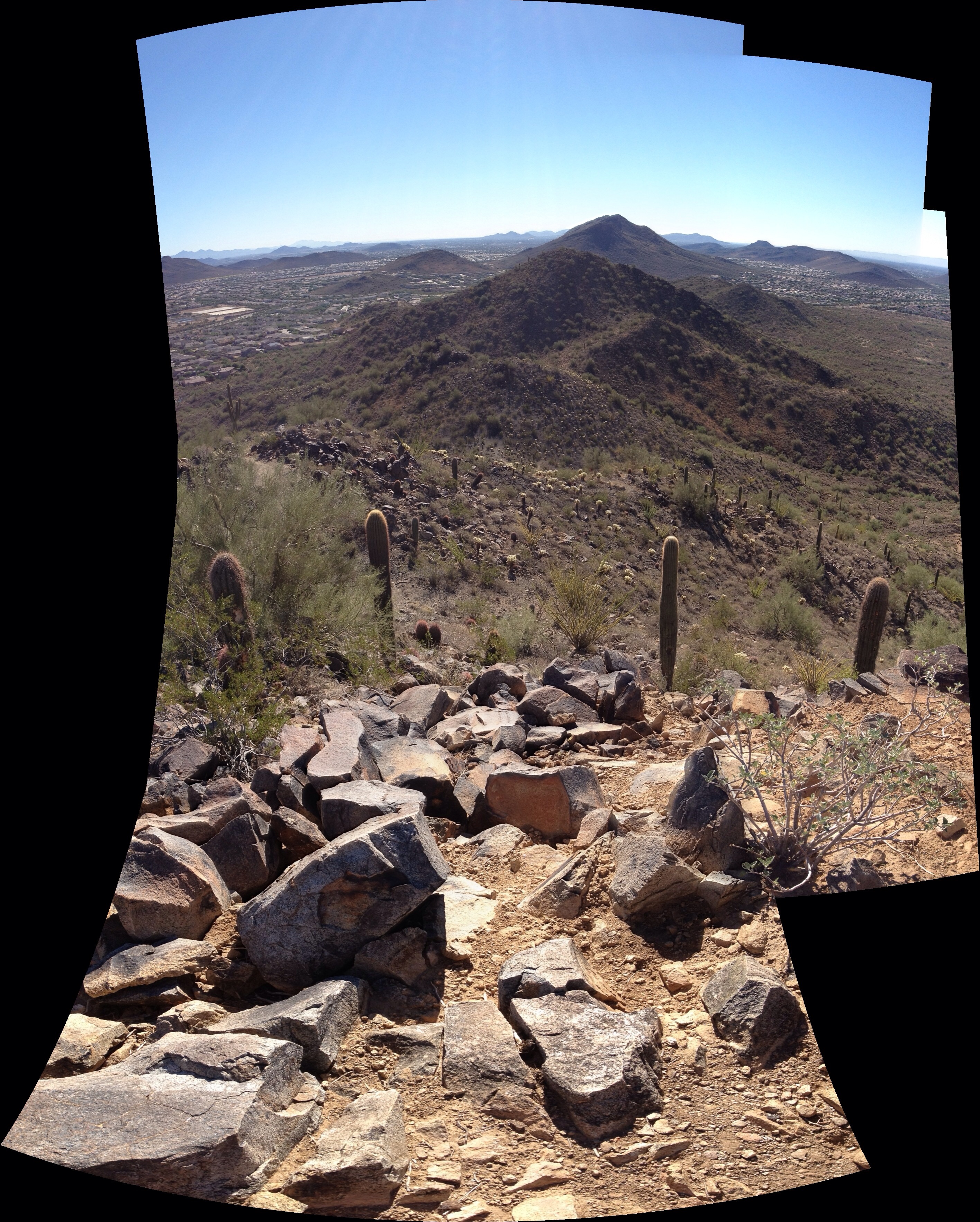
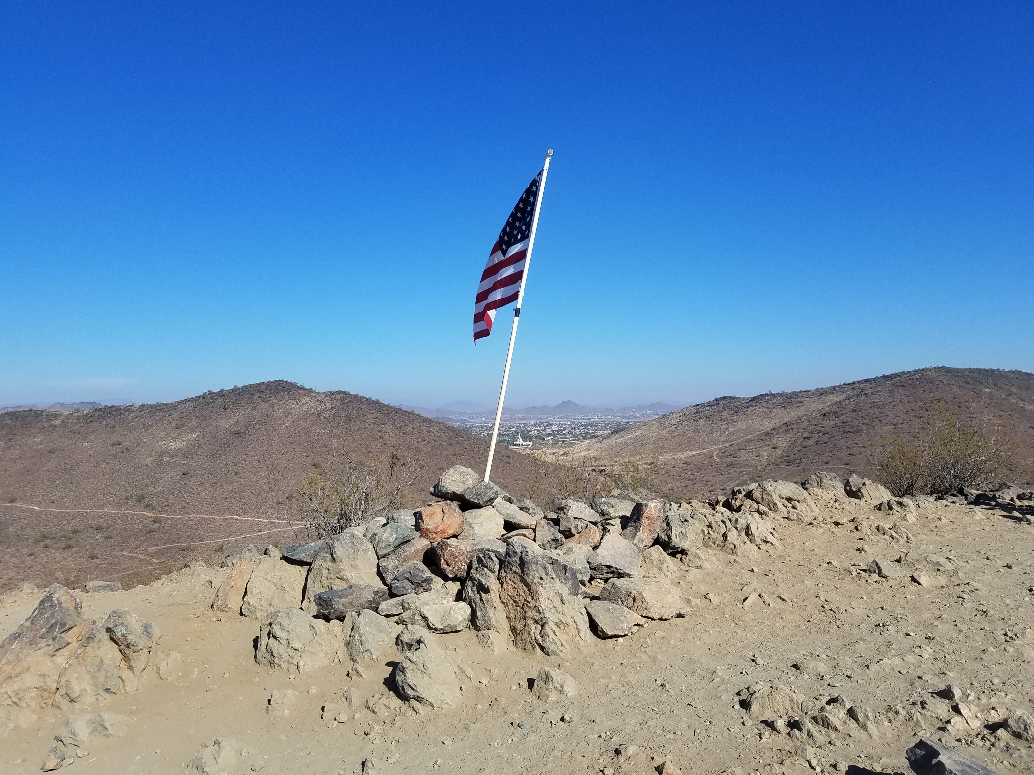
View from East Wing Mountain
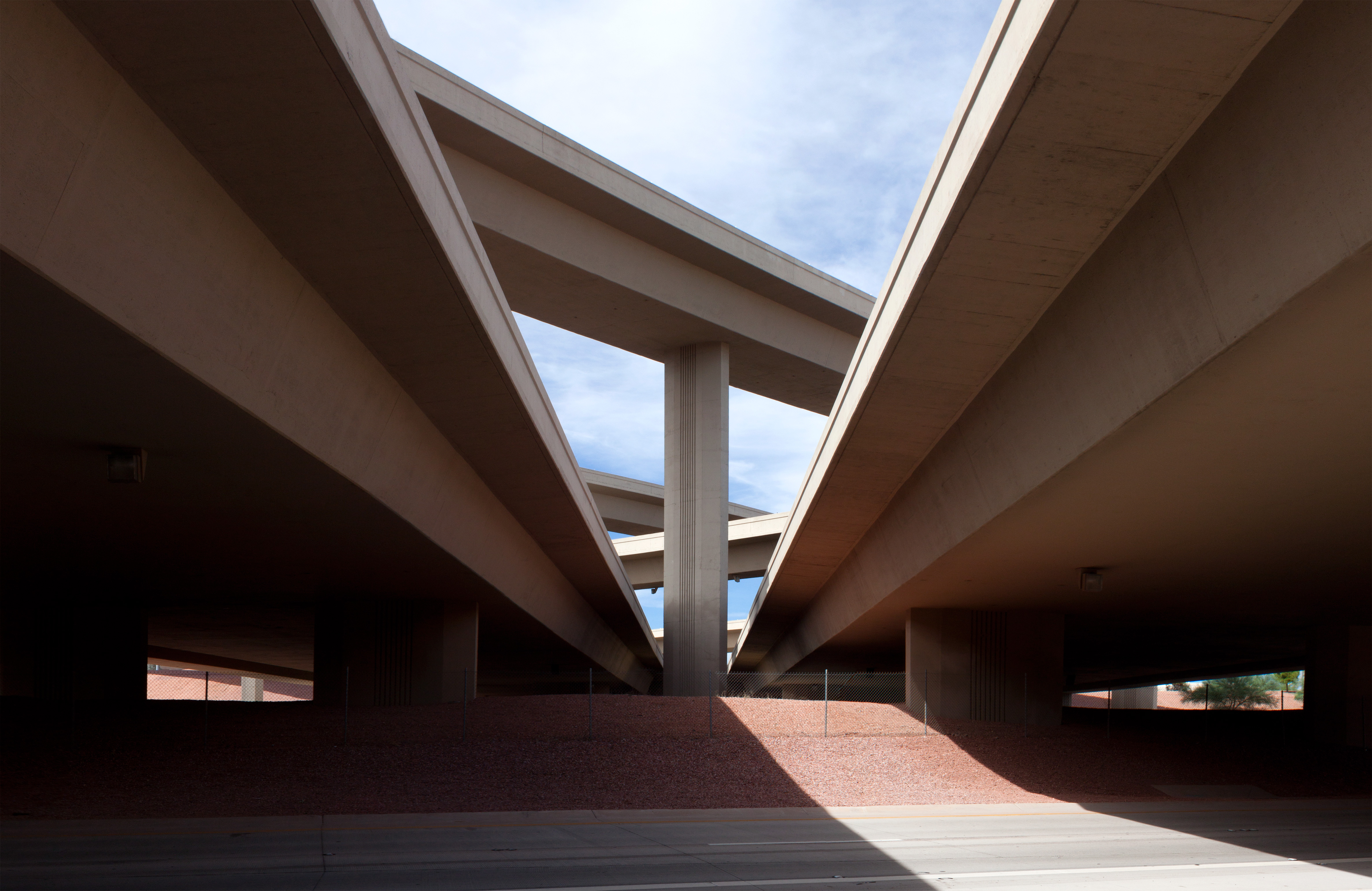
Loop 101 and Interstate 17 Interchange (3)
0725120548a.jpg
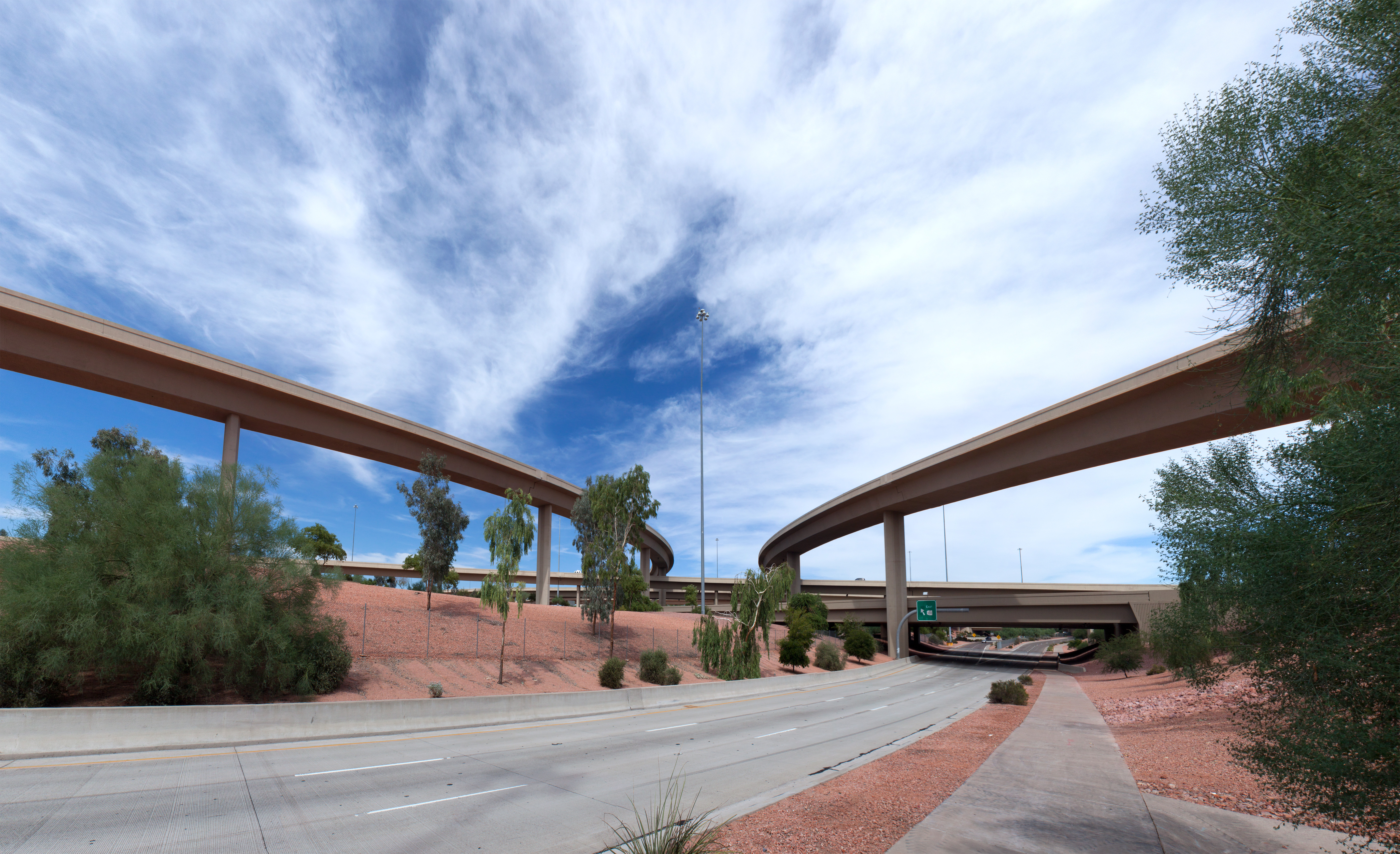
Loop 101 and Interstate 17 Interchange (2)
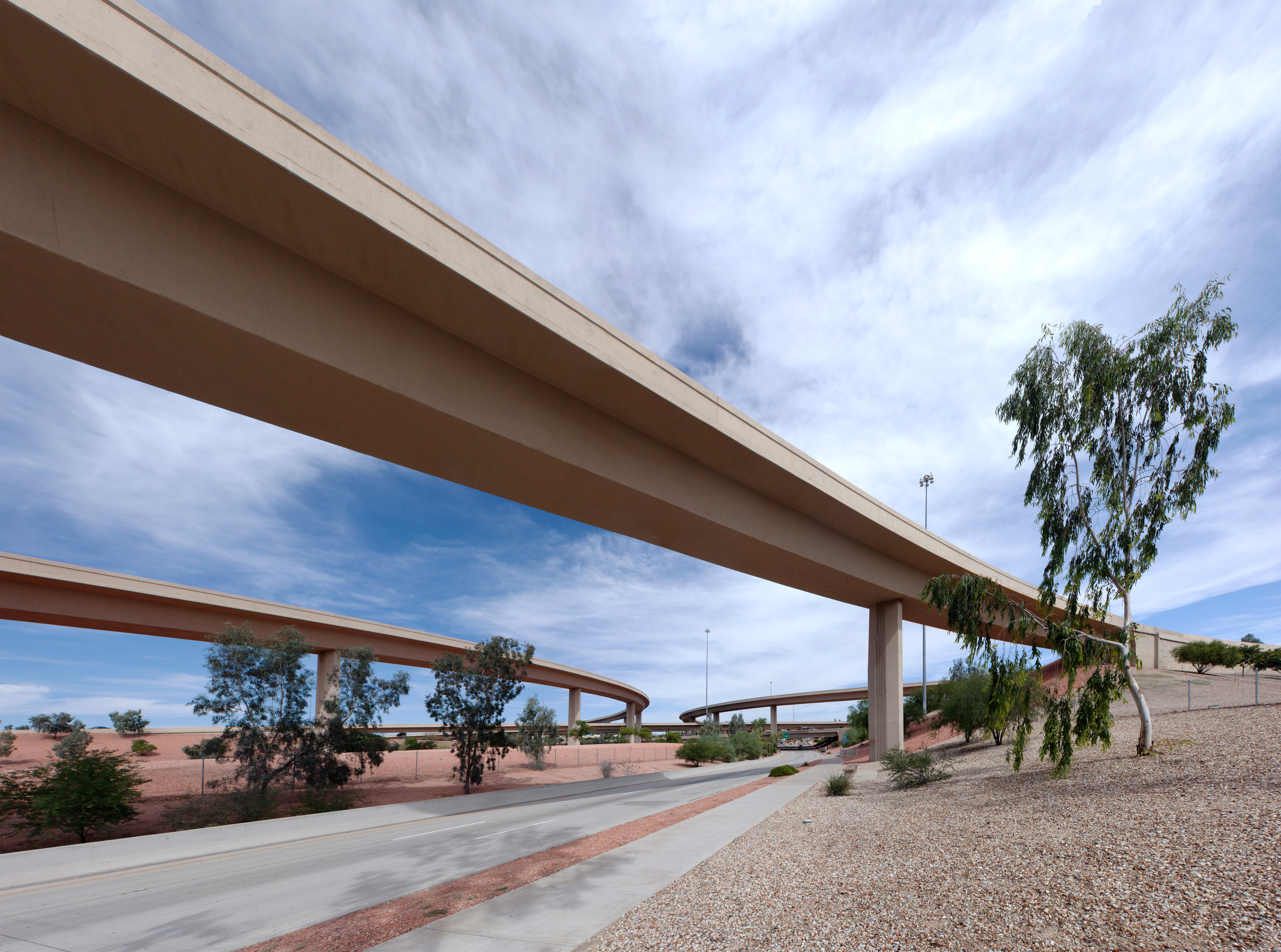
Loop 101 and Interstate 17 Interchange (4)
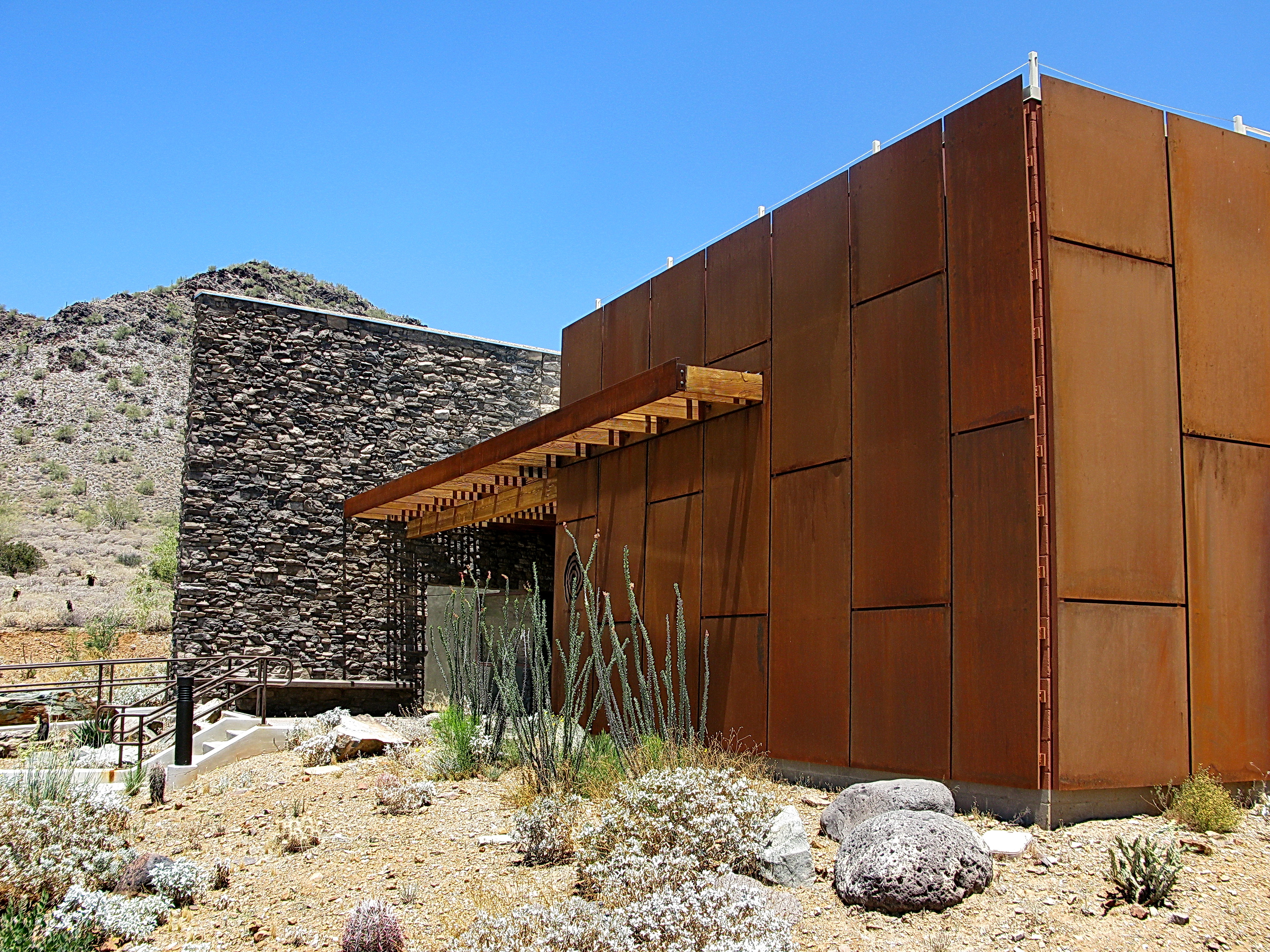
Cave Creek Recreation Area Nature Center
Beautiful day at the lake - but for the flies
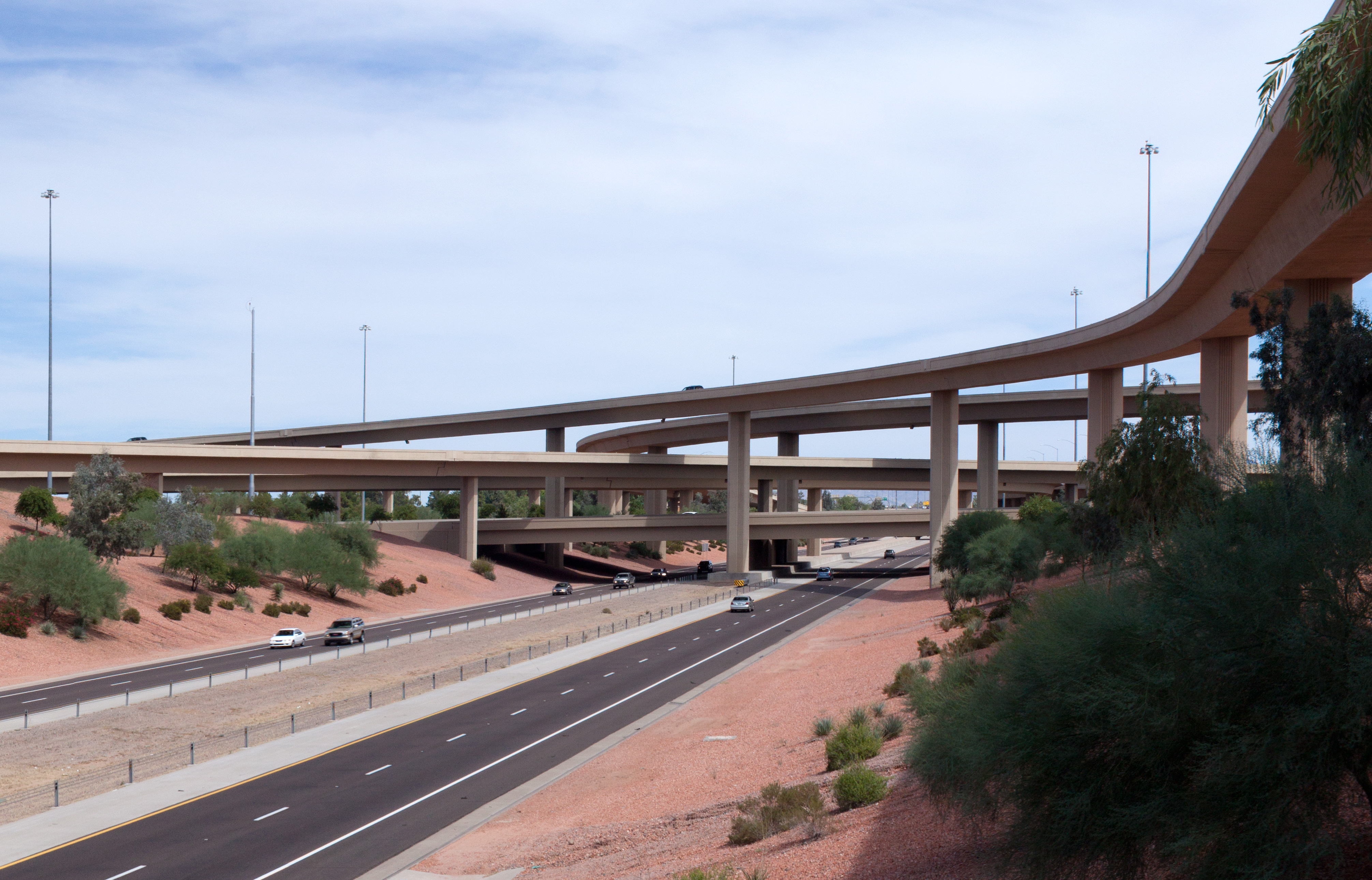
Loop 101 and Interstate 17 Interchange (9-cropped)
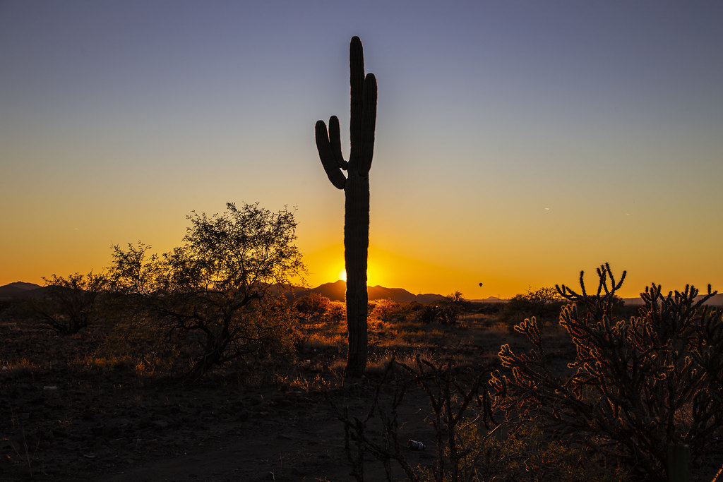
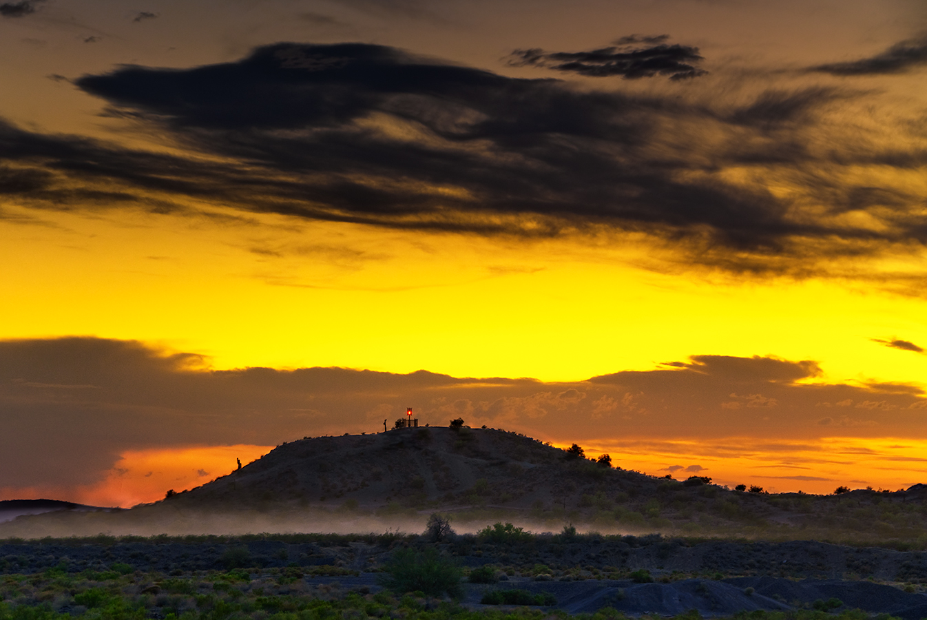
Cactus Sunset

Arizona sunset

The dog on the shore

Pleasant Trails
That day on the beach

Sedona, Arizona. Breath taking views. #mountain #mountains #sky #beautiful #view #scenery #nature #hike #hiking #landscape #clouds #ic_landscapes #mountainview #bestoftoday #nature_seekers #instanature #instanaturelover #landscape_lovers #peak #landscapes

Hard life...

Where mountain meets sky
Friday afternoon trail romp

Hiking with the hounds.

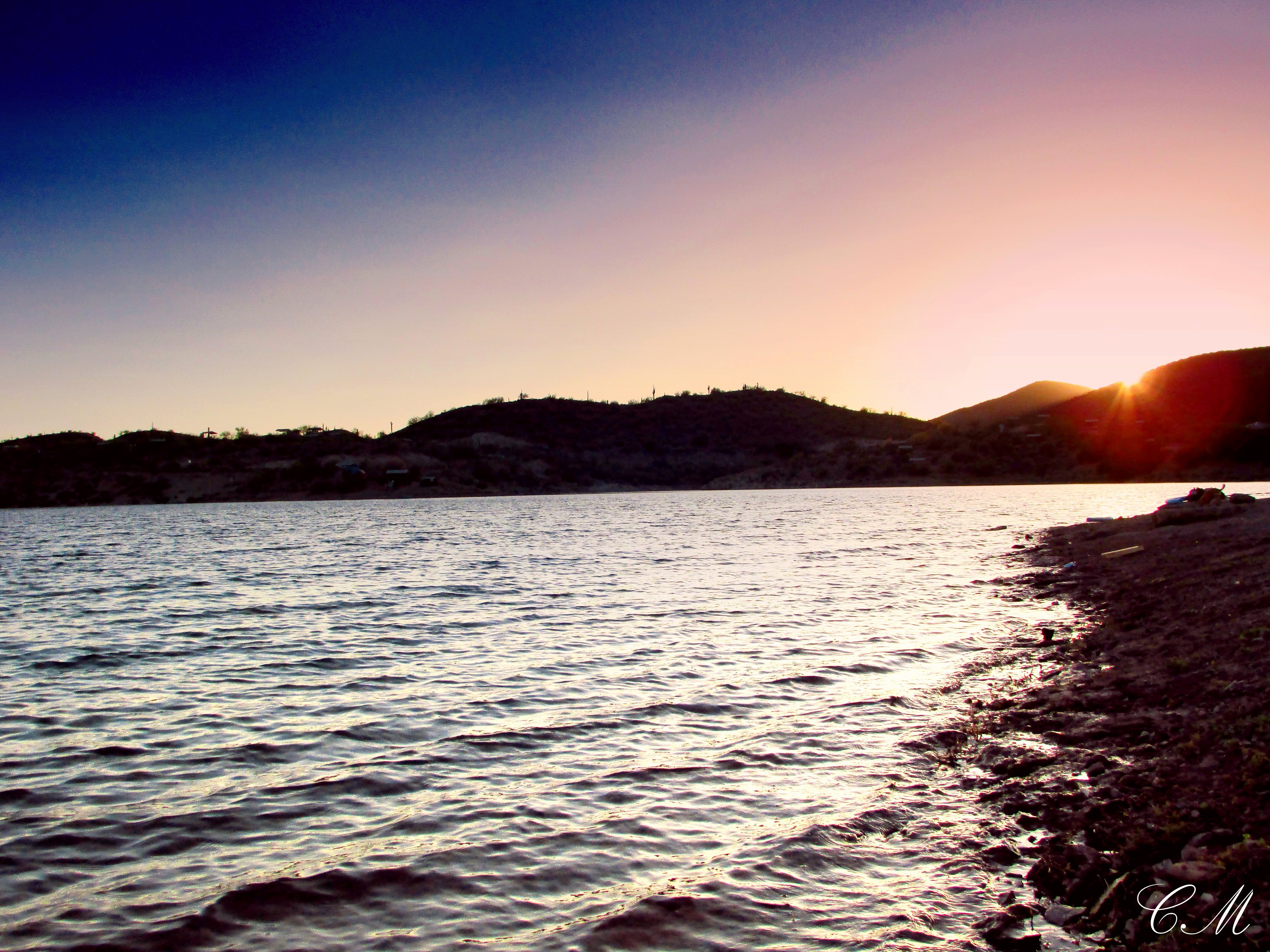
The pleasant sunsets
Anthem Sunset

Xavi on Black Canyon Trail
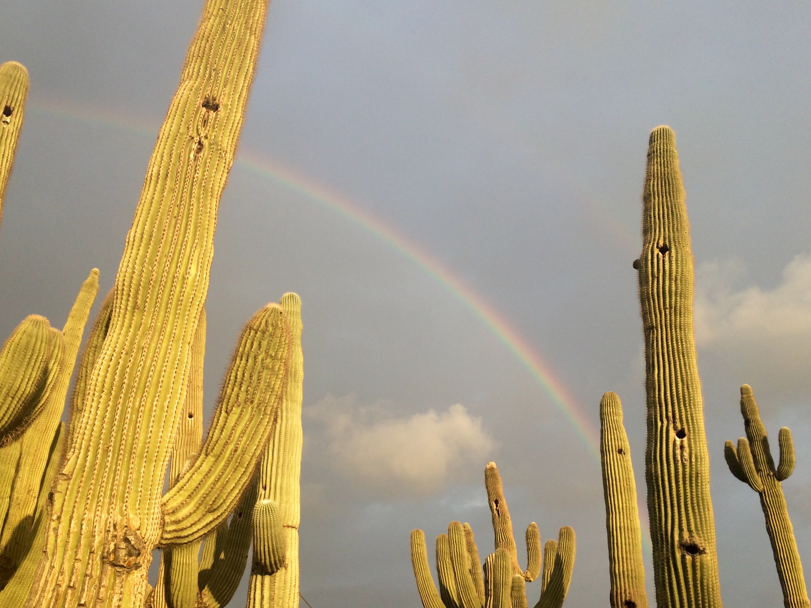
Rainbow and Saguaros
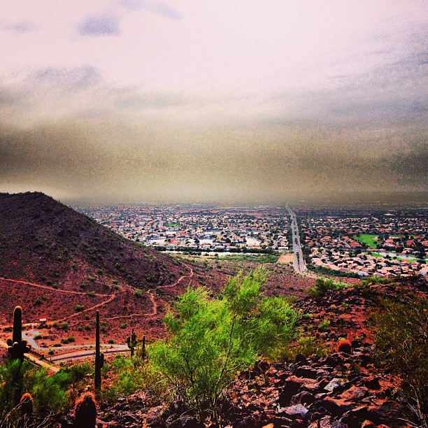
More dust storms
I 17 Sunset point
2018-07-28_08-12-47
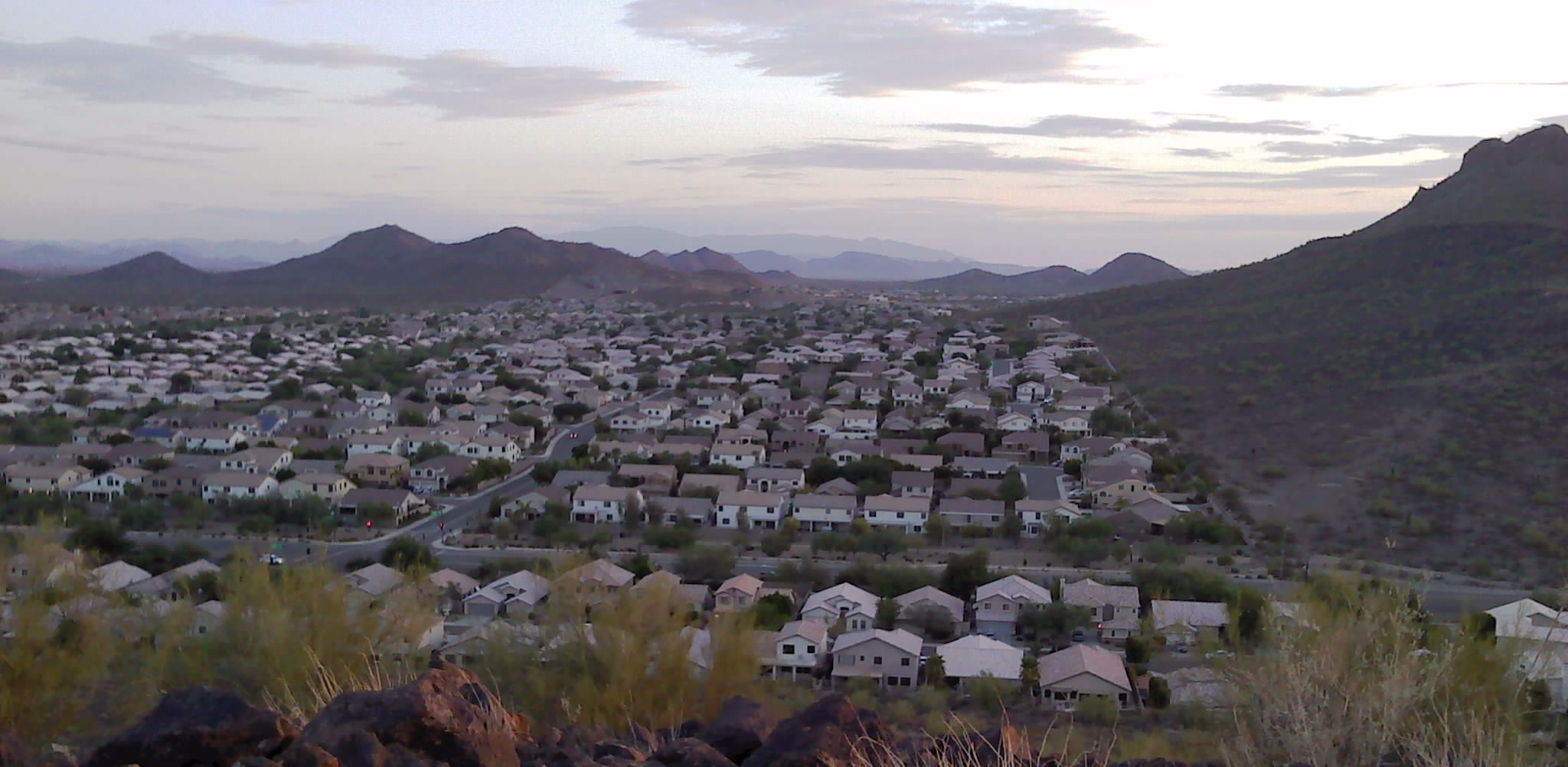
Phoenix, Arizona
0721120641.jpg
Topographic Map of W Black Canyon Blvd, Phoenix, AZ, USA
Find elevation by address:

Places near W Black Canyon Blvd, Phoenix, AZ, USA:
Ben Avery Shooting Facility
3333 W Long Rifle Rd
Desert Hills
38626 N Donovan Ct
2407 W Desert Ranch Rd
Phoenix, AZ, USA
40325 N Exploration Trail
3537 W Webster Ct
40826 N Columbia Trail
3165 W Keller Dr
Anthem
41707 N Golf Crest Rd
2102 W Hidden Treasure Way
2819 W Reedy Creek Dr
39514 N White Tail Ln
2532 W Muirfield Dr
1767 W Owens Way
Anthem Golf & Country Club
1771 W Morse Dr
42703 N National Trail
Recent Searches:
- Elevation of Steadfast Ct, Daphne, AL, USA
- Elevation of Lagasgasan, X+CQH, Tiaong, Quezon, Philippines
- Elevation of Rojo Ct, Atascadero, CA, USA
- Elevation of Flagstaff Drive, Flagstaff Dr, North Carolina, USA
- Elevation of Avery Ln, Lakeland, FL, USA
- Elevation of Woolwine, VA, USA
- Elevation of Lumagwas Diversified Farmers Multi-Purpose Cooperative, Lumagwas, Adtuyon, RV32+MH7, Pangantucan, Bukidnon, Philippines
- Elevation of Homestead Ridge, New Braunfels, TX, USA
- Elevation of Orchard Road, Orchard Rd, Marlborough, NY, USA
- Elevation of 12 Hutchinson Woods Dr, Fletcher, NC, USA