Elevation of W 5 Point Hwy, Charlotte, MI, USA
Location: United States > Michigan > Eaton County > Charlotte >
Longitude: -84.866973
Latitude: 42.5096827
Elevation: 266m / 873feet
Barometric Pressure: 98KPa
Elevation Map:
Satellite Map:
Related Photos:

Former Kmart, Charlotte, MI

Inside Fay's Evelyn Bay Coffee Shop

The Other Side of Time

Wider View, Olivet College Gymnasium - February, 1979 - Shot on Film

Connie's

Burrage Library

Old Courthouse - Front View

View from House Center

View From Stage

Pin Rail view of The Isaacs

Ideal rural scenery.

View of House from First Row

A Tree in a Field

Blue fog

Ridin' that train... #michigan
Good mo

Field and Sky, with Trees

Winter-iced
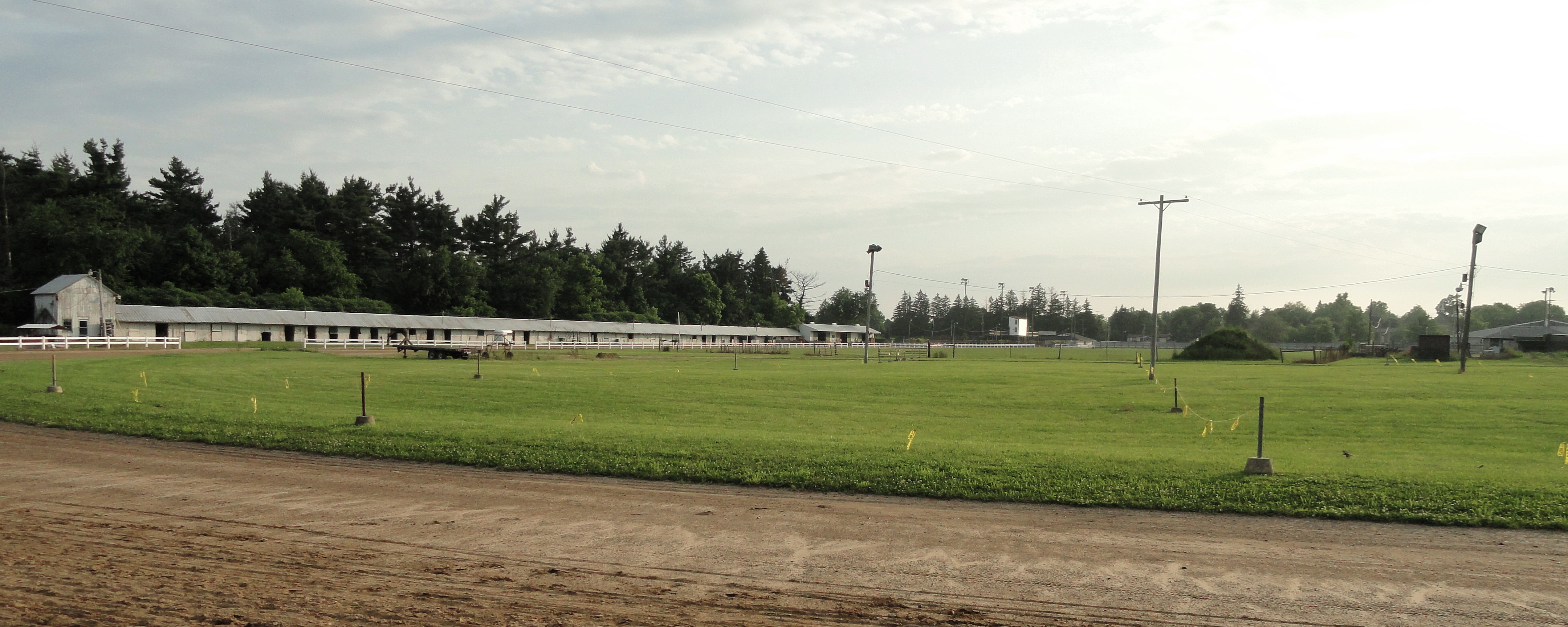
The Stable and the Track

A Moment of Clarity

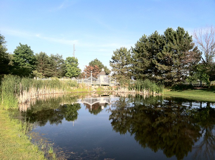
Reflections in a Field

Baird's Sandpiper 2015-08-22 (2)

Field and Sky, with Trees

One Lane Traffic

USPTO NSTI

Baird's Sandpiper 2015-08-22 (1)

Sunset Clouds
Topographic Map of W 5 Point Hwy, Charlotte, MI, USA
Find elevation by address:

Places near W 5 Point Hwy, Charlotte, MI, USA:
Charlotte
118 E Lawrence Ave
5675 Thornton Hwy
320 S Main St
Olivet
917 Chads Way
23413 21 Mile Rd
23 Mile Rd, Marshall, MI, USA
Eaton County
Lee Township
Bellevue Township
Bellevue
W Needmore Hwy, Grand Ledge, MI, USA
792 W Needmore Hwy
8760 Alpha Dr
2700 N Pease Rd
2700 N Pease Rd
2700 N Pease Rd
2700 N Pease Rd
2700 N Pease Rd
Recent Searches:
- Elevation of Gateway Blvd SE, Canton, OH, USA
- Elevation of East W.T. Harris Boulevard, E W.T. Harris Blvd, Charlotte, NC, USA
- Elevation of West Sugar Creek, Charlotte, NC, USA
- Elevation of Wayland, NY, USA
- Elevation of Steadfast Ct, Daphne, AL, USA
- Elevation of Lagasgasan, X+CQH, Tiaong, Quezon, Philippines
- Elevation of Rojo Ct, Atascadero, CA, USA
- Elevation of Flagstaff Drive, Flagstaff Dr, North Carolina, USA
- Elevation of Avery Ln, Lakeland, FL, USA
- Elevation of Woolwine, VA, USA