Elevation of Vorkuta, Komi Republic, Russia
Location: Russia > Komi Republic > Gorod Vorkuta >
Longitude: 64.0602175
Latitude: 67.4968967
Elevation: 167m / 548feet
Barometric Pressure: 99KPa
Elevation Map:
Satellite Map:
Related Photos:

upload
244C0382
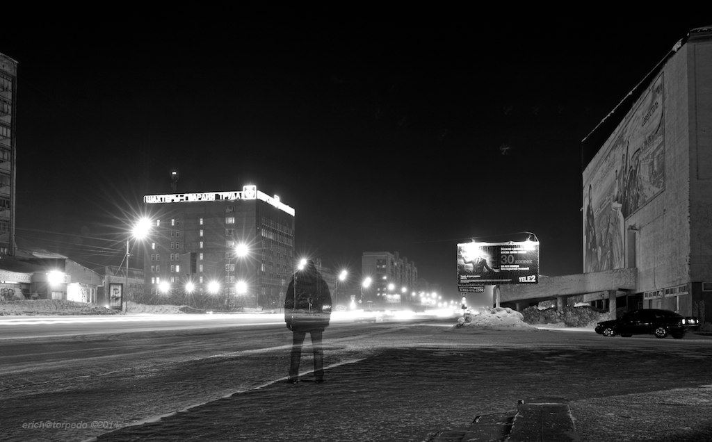
strolling around main street

Vladimir putin

2ТЭ10М-3482

Coctail "The Idiot"
Привет из Заполярья

Oleg and Yulia

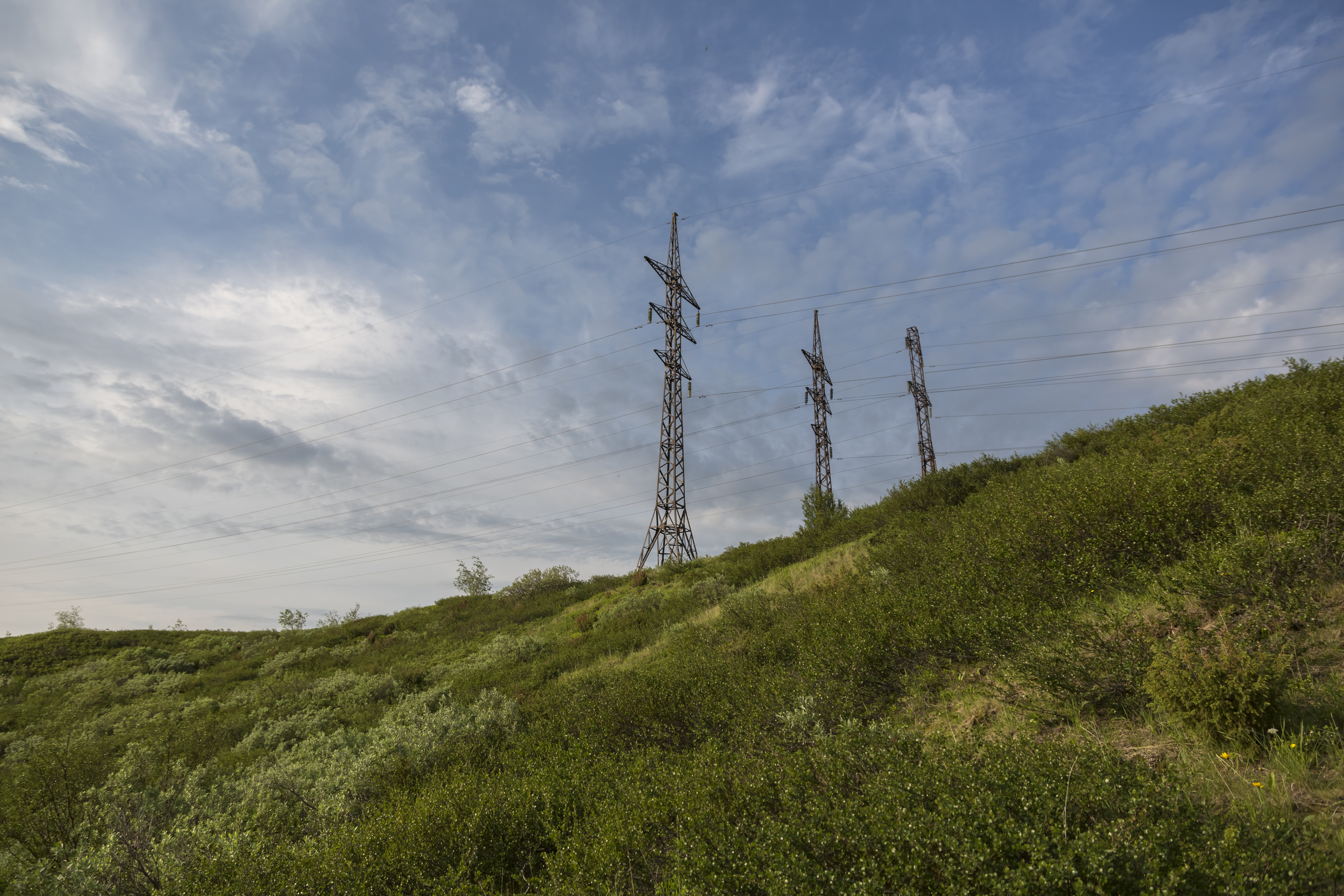
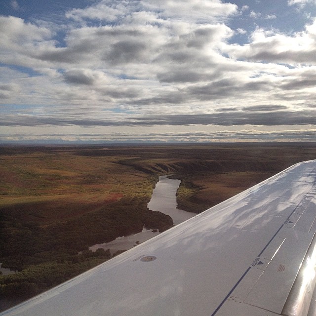
midnight sun north of the Polar circle
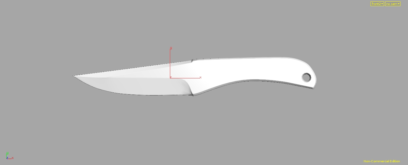
Knife 'Osetr'
Russian money
Topographic Map of Vorkuta, Komi Republic, Russia
Find elevation by address:

Places near Vorkuta, Komi Republic, Russia:
Recent Searches:
- Elevation of Elwyn Dr, Roanoke Rapids, NC, USA
- Elevation of Congressional Dr, Stevensville, MD, USA
- Elevation of Bellview Rd, McLean, VA, USA
- Elevation of Stage Island Rd, Chatham, MA, USA
- Elevation of Shibuya Scramble Crossing, 21 Udagawacho, Shibuya City, Tokyo -, Japan
- Elevation of Jadagoniai, Kaunas District Municipality, Lithuania
- Elevation of Pagonija rock, Kranto 7-oji g. 8"N, Kaunas, Lithuania
- Elevation of Co Rd 87, Jamestown, CO, USA
- Elevation of Tenjo, Cundinamarca, Colombia
- Elevation of Côte-des-Neiges, Montreal, QC H4A 3J6, Canada