Elevation of Vojens, Bevtoft, Denmark
Location: Denmark > Region Syddanmark > Haderslev Municipality > Vojens >
Longitude: 9.265278
Latitude: 55.219444
Elevation: 40m / 131feet
Barometric Pressure: 101KPa
Elevation Map:
Satellite Map:
Related Photos:
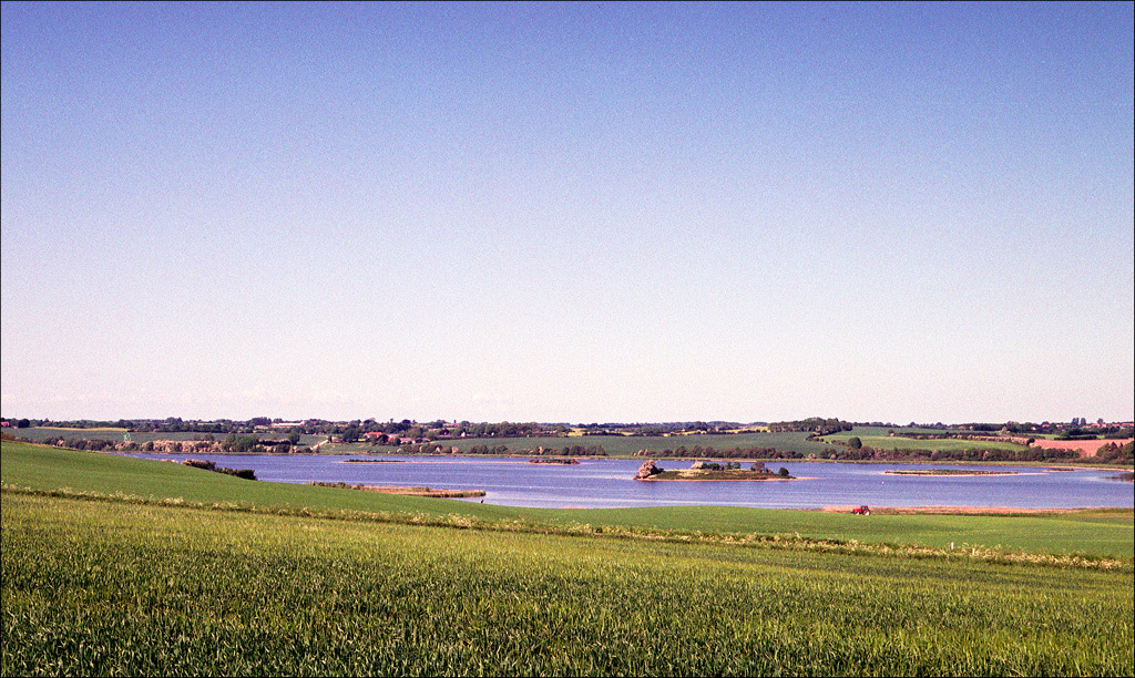
Evening sun on an island in a lake
Topographic Map of Vojens, Bevtoft, Denmark
Find elevation by address:

Places near Vojens, Bevtoft, Denmark:
Vojens
Haderslev Municipality
Region Syddanmark
Hørgård 84
Hørgård 83
Aabenraa Municipality
Sankt Nicolai Kirke
Aabenraa
Haderslevvej 7
Christiansfeld
Kolding Municipality
Dalgårdsvej 359
Koldning Hypnoseklinik V/peter Olesen Sivebæk
Kolding
Skovvangen 42
Skovparken 18
Fynsvej
Kokbjerg 29b
Egtved
Tønder Municipality
Recent Searches:
- Elevation of Corso Fratelli Cairoli, 35, Macerata MC, Italy
- Elevation of Tallevast Rd, Sarasota, FL, USA
- Elevation of 4th St E, Sonoma, CA, USA
- Elevation of Black Hollow Rd, Pennsdale, PA, USA
- Elevation of Oakland Ave, Williamsport, PA, USA
- Elevation of Pedrógão Grande, Portugal
- Elevation of Klee Dr, Martinsburg, WV, USA
- Elevation of Via Roma, Pieranica CR, Italy
- Elevation of Tavkvetili Mountain, Georgia
- Elevation of Hartfords Bluff Cir, Mt Pleasant, SC, USA