Elevation of Virovitica-Podravina County, Croatia
Location: Croatia >
Longitude: 17.7932472
Latitude: 45.6557985
Elevation: 112m / 367feet
Barometric Pressure: 100KPa
Elevation Map:
Satellite Map:
Related Photos:

DSC01050.jpg

DSC01045.jpg
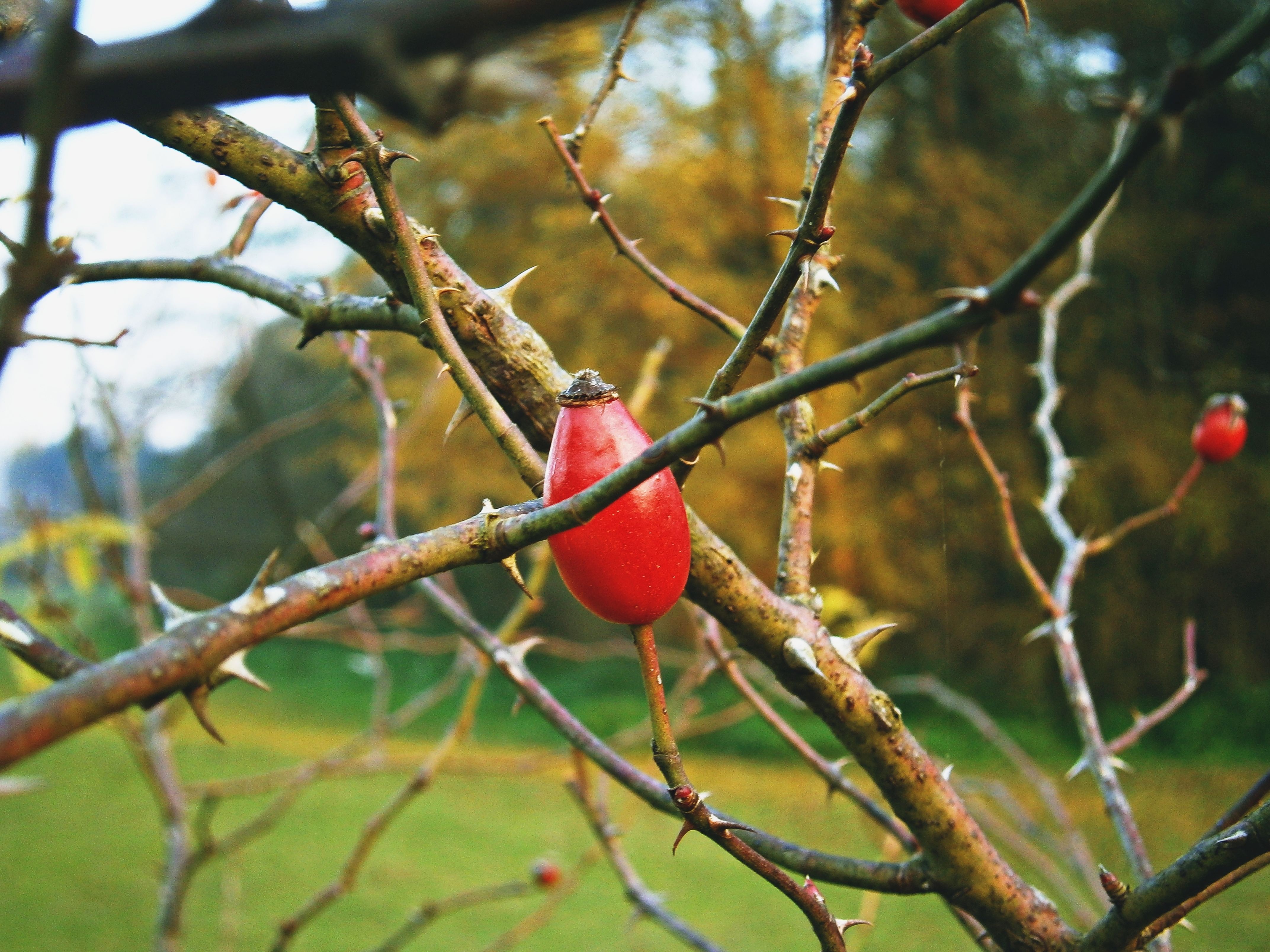
Dog rose
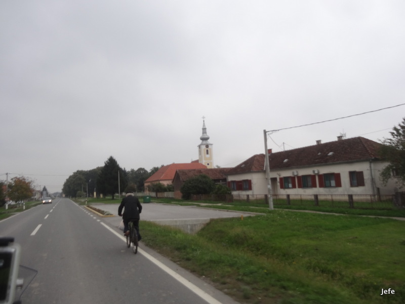
On the road from Koprivnica (Cro) to Bačka Palanka Serbian border station...

Too High and Alone in the Middle of the Night

DSC01060.jpg

DSC01056.jpg

DSC01054.jpg

DSC01047.jpg
DSC01040.jpg
DSC01039.jpg

DSC01036.jpg

DSC01029.jpg
DSC01028.jpg

DSC01026.jpg

DSC01022.jpg

DSC01019.jpg

DSC01016.jpg

DSC02378.jpg

DSC02371.jpg

DSC02366.jpg
Topographic Map of Virovitica-Podravina County, Croatia
Find elevation by address:

Places in Virovitica-Podravina County, Croatia:
Places near Virovitica-Podravina County, Croatia:
Ul. Jospia Jurja Strossmayera 5, Zdenci, Croatia
Sellye
D51, Šumanovci, Croatia
Milanovac
Szentlőrinc
Ul. 30. svibnja odv. I 10, Milanovac, Croatia
Kálmáncsa, Kossuth u., Hungary
Barcs
Općina Virovitica
Općina Nova Kapela
Seoce
Túrony, Rákóczi Ferenc u. 4, Hungary
Seoce, Seoce, Croatia
Općina Slavonski Brod
Slavonski Brod
Péterhida
Péterhida, Fő u. 50, Hungary
Daruvar
Općina Daruvar
Bőszénfa
Recent Searches:
- Elevation of Luther Road, Luther Rd, Auburn, CA, USA
- Elevation of Unnamed Road, Respublika Severnaya Osetiya — Alaniya, Russia
- Elevation of Verkhny Fiagdon, North Ossetia–Alania Republic, Russia
- Elevation of F. Viola Hiway, San Rafael, Bulacan, Philippines
- Elevation of Herbage Dr, Gulfport, MS, USA
- Elevation of Lilac Cir, Haldimand, ON N3W 2G9, Canada
- Elevation of Harrod Branch Road, Harrod Branch Rd, Kentucky, USA
- Elevation of Wyndham Grand Barbados Sam Lords Castle All Inclusive Resort, End of Belair Road, Long Bay, Bridgetown Barbados
- Elevation of Iga Trl, Maggie Valley, NC, USA
- Elevation of N Co Rd 31D, Loveland, CO, USA