Elevation of Virgin, UT, USA
Location: United States > Utah > Washington County >
Longitude: -113.18827
Latitude: 37.208316
Elevation: 1101m / 3612feet
Barometric Pressure: 89KPa
Elevation Map:
Satellite Map:
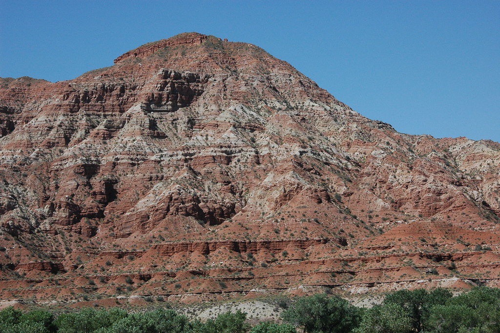
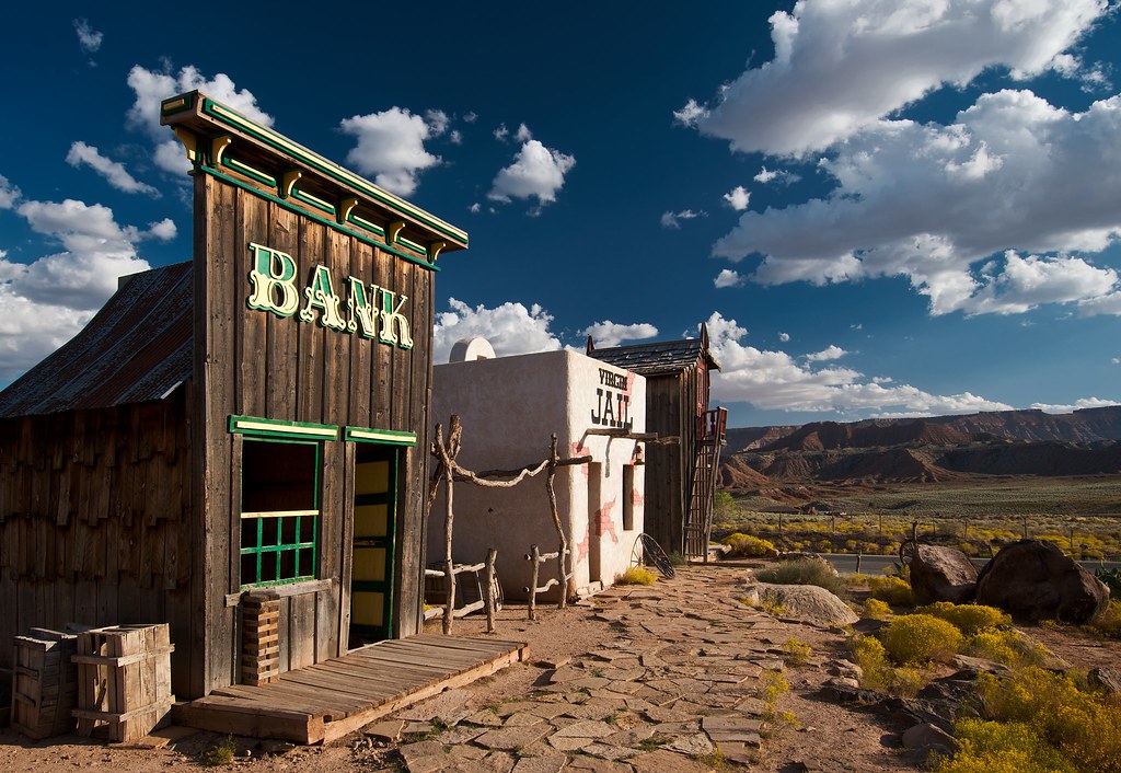
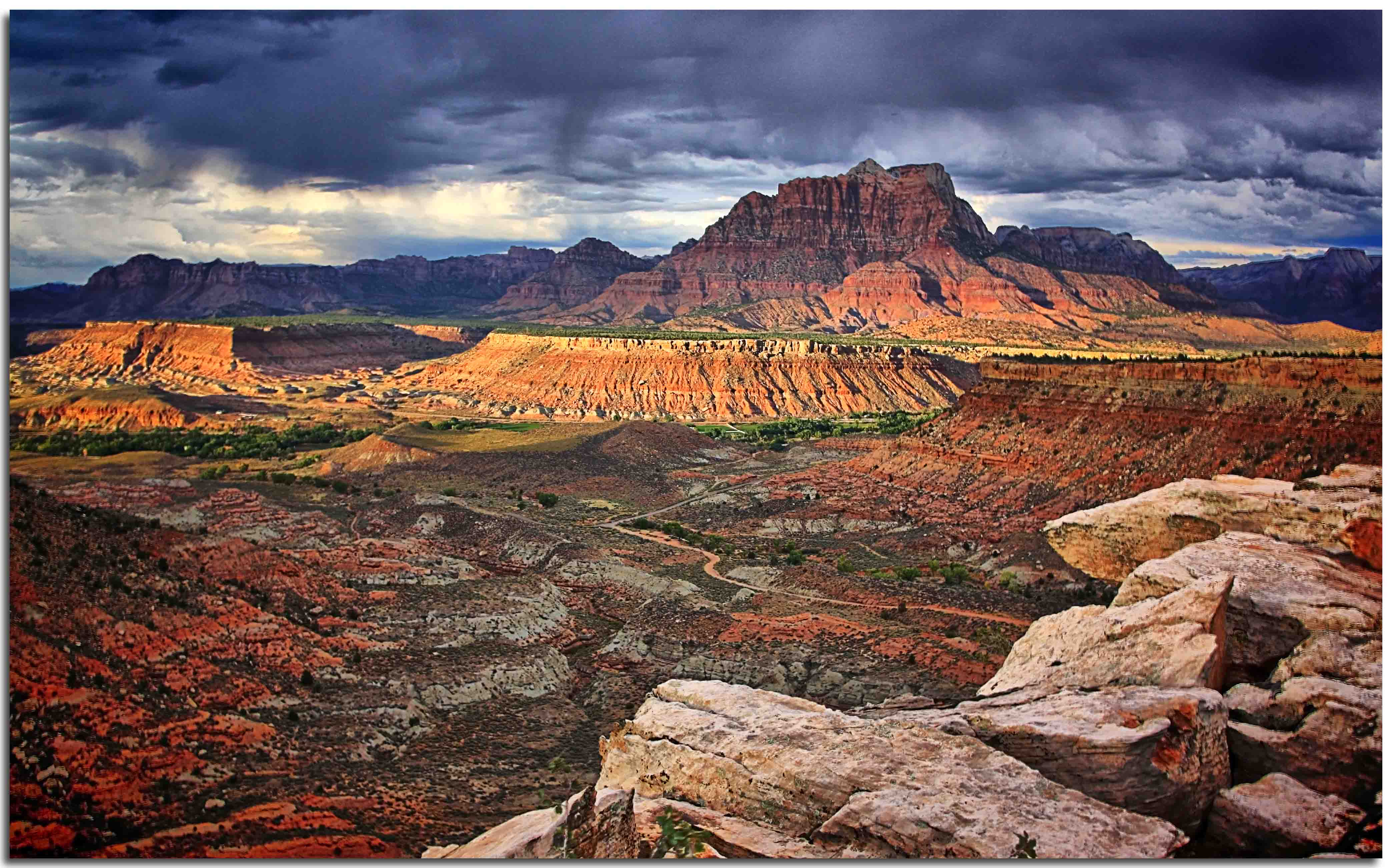
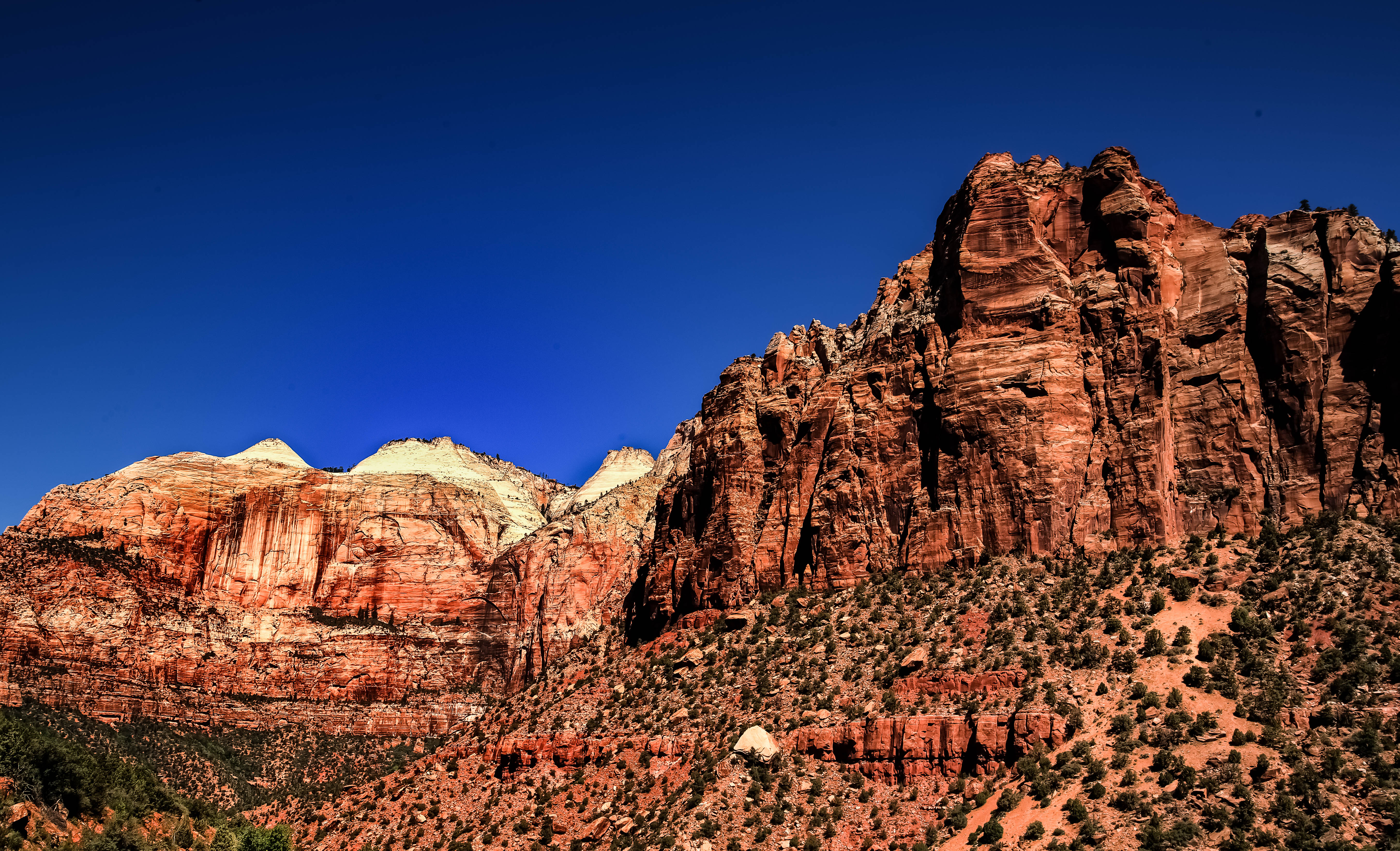
Related Photos:

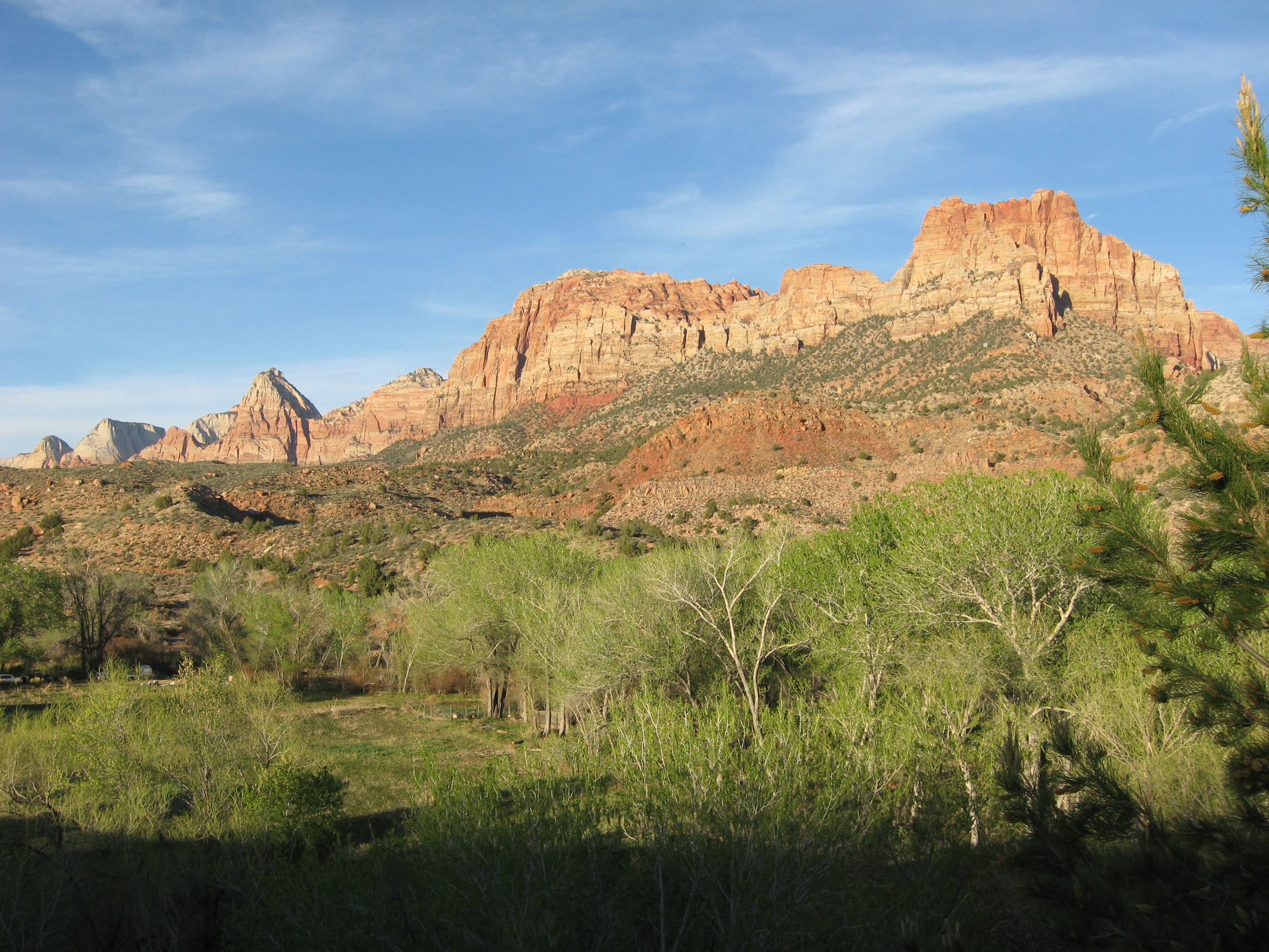
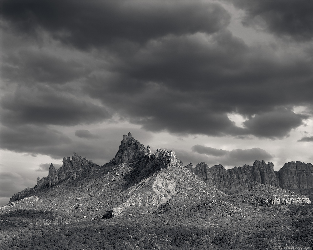
A View of Mountains and Sandstone Cliffs along the Kolob Terrace Road (Black & White)

A View of Mountains and Sandstone Cliffs along the Kolob Terrace Road (Zion National Park)
Pine Valley Mountains
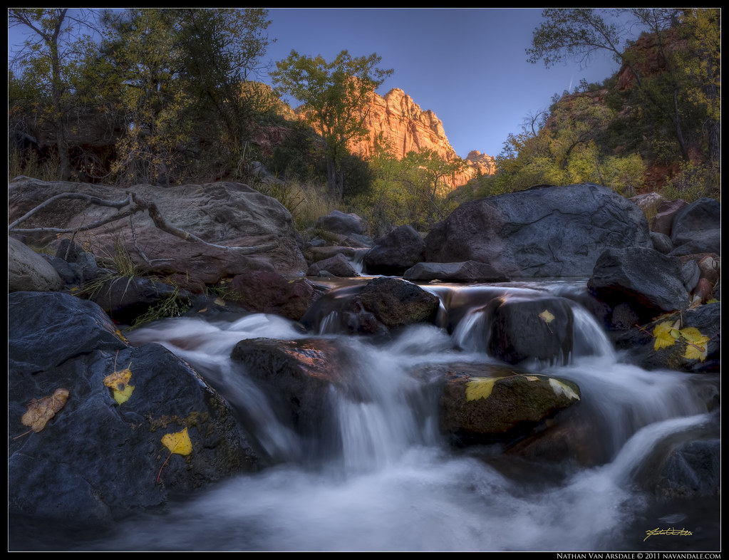
Goldleaf Cascade
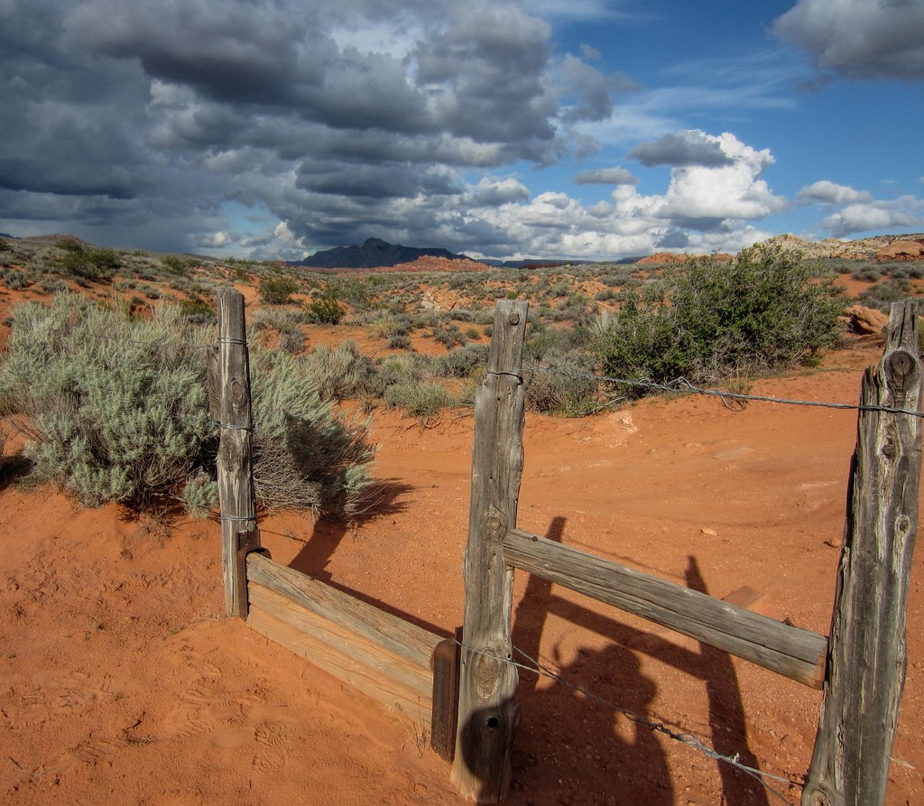
step-over gate
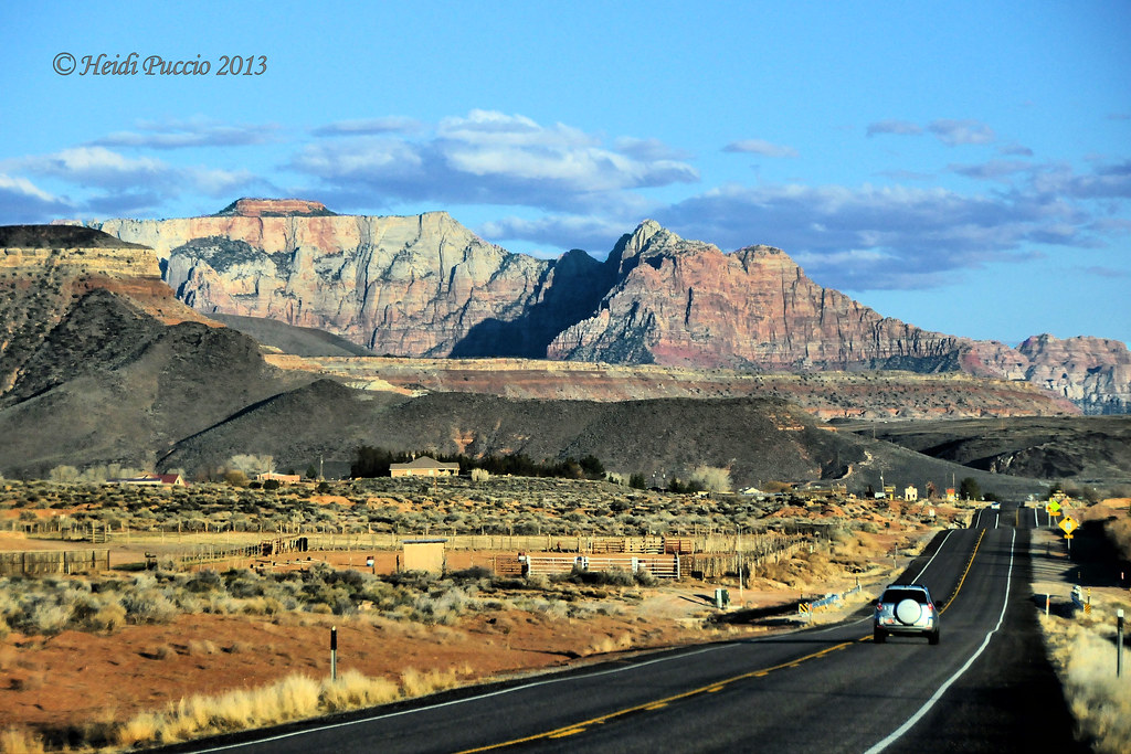
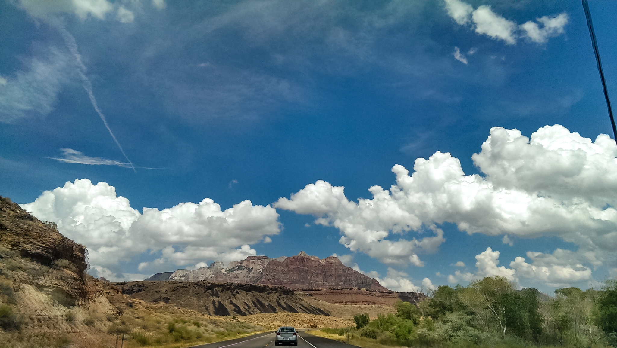
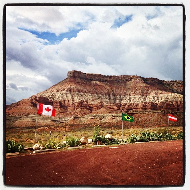
en route to ZION NATIONAL PARK ~ UTAH
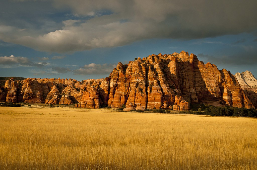
Shades of Gold
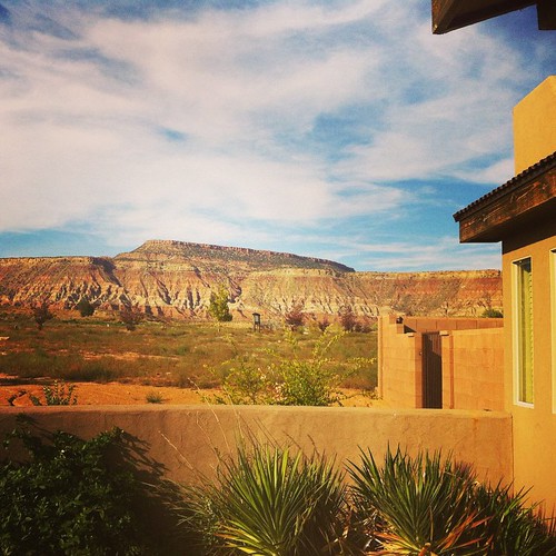
Not stoked that I am working while on "vacation," but I certainly can't complain about this view. #pandainthedesert #mormoncountry #utah
"You're Dead to Me" (02/2014) No salvation. No forgiveness. View my B&W edit at: @JimHubel_bnw. Nikon D70/Photoshop.
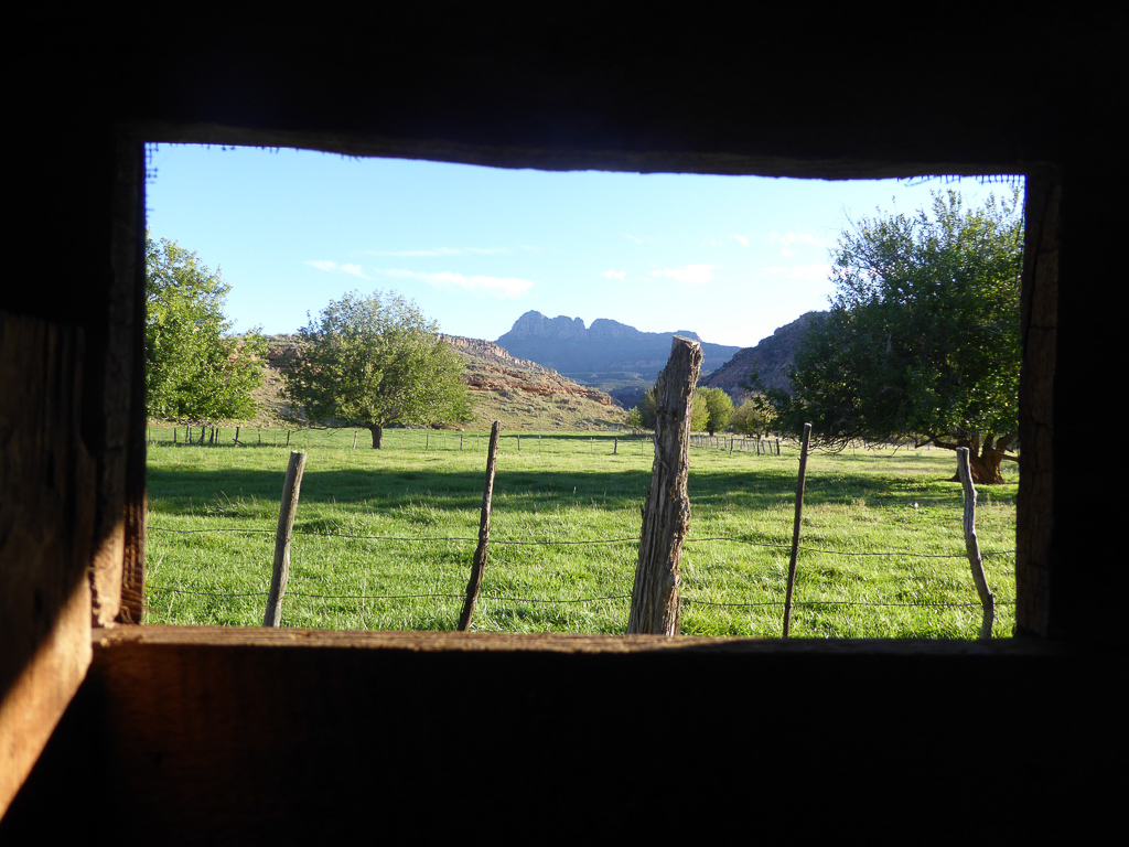
View From The Window
"You're Dead to Me" (02/2014) No salvation. No forgiveness. View my B&W edit at: @JimHubel_bnw. Nikon D70/Photoshop.
img_0424.jpg
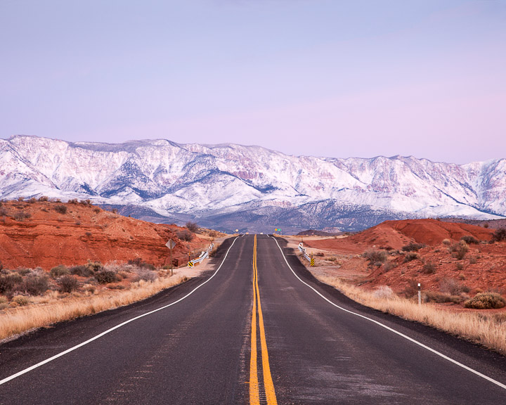
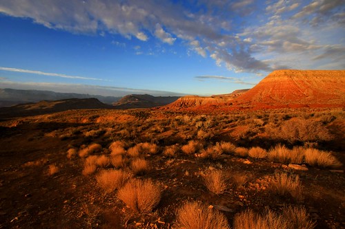
Sunset Kolob Terrace
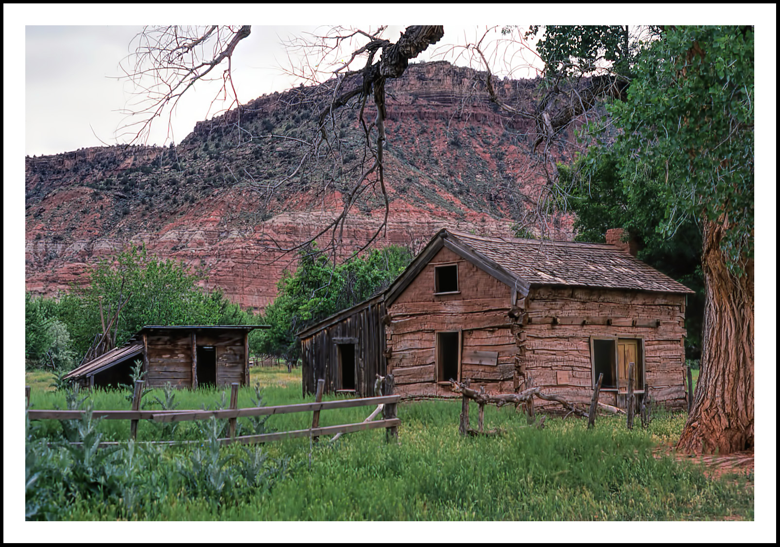
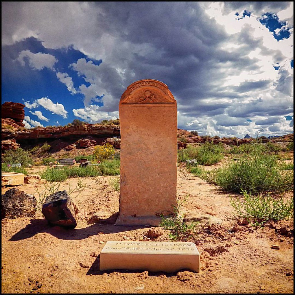
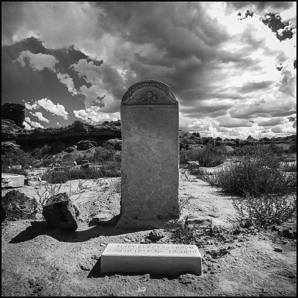
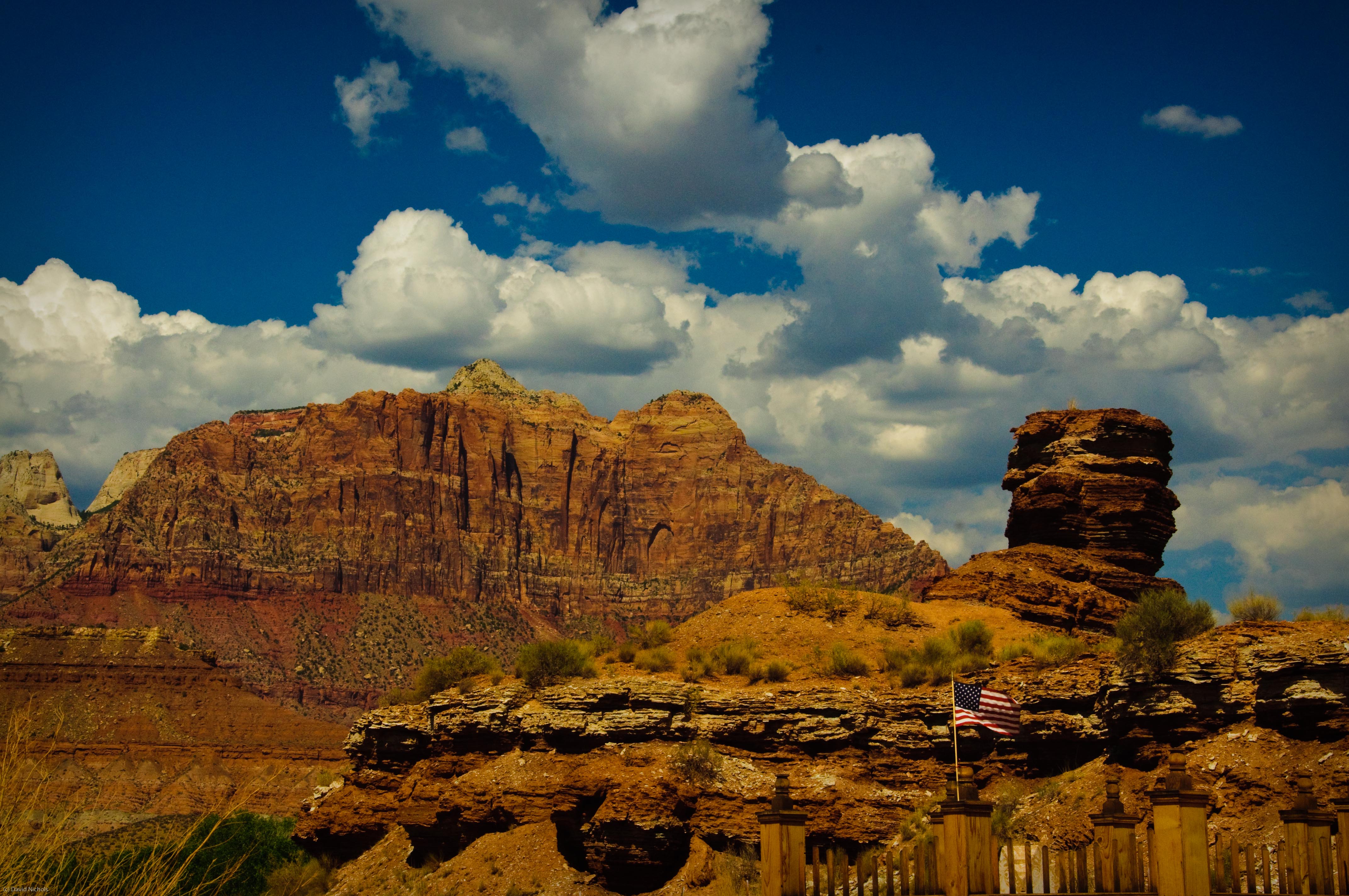
Ghosts of Grafton, Utah For Fence Friday

Rainbow Sunset Panorama
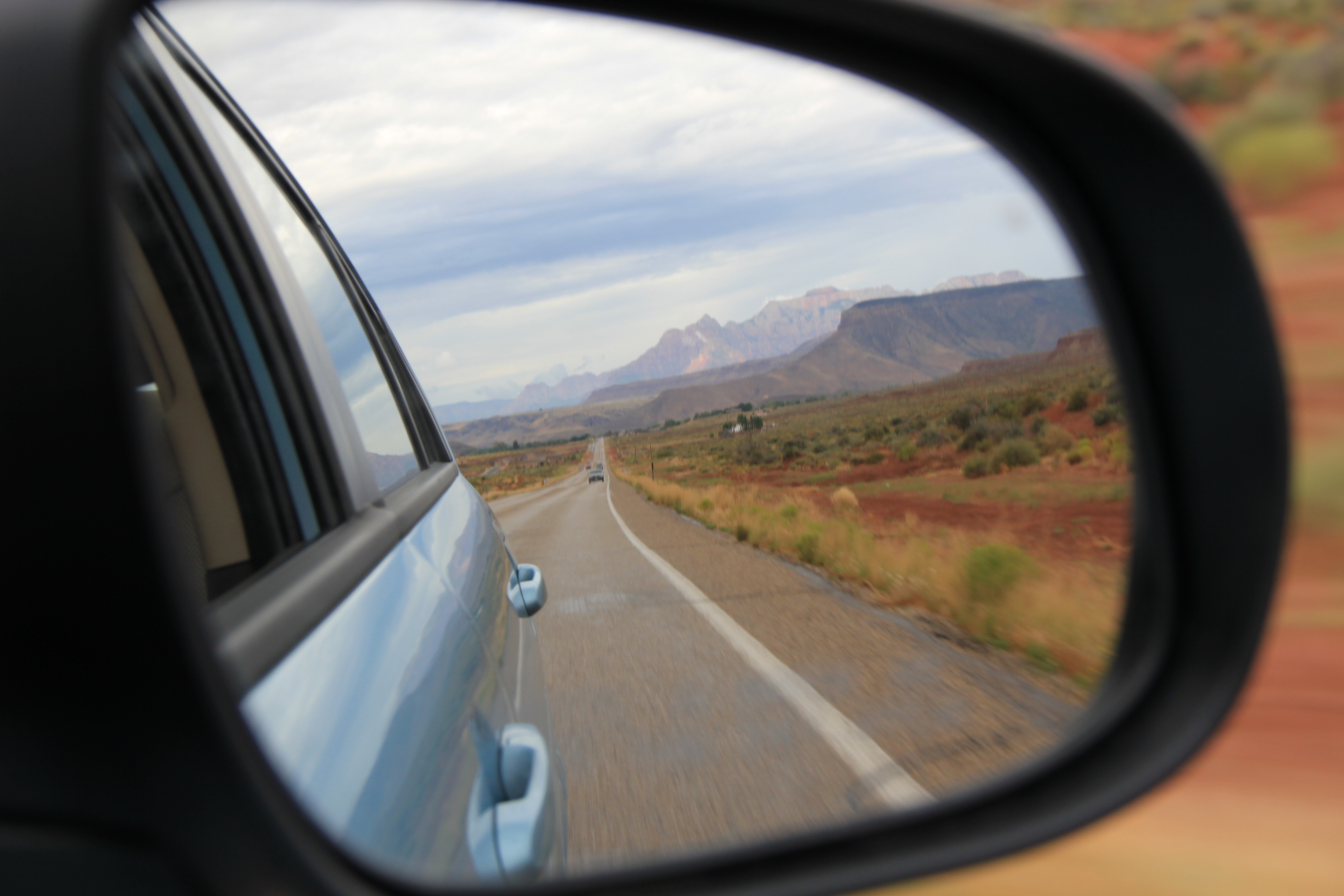
Rear-view mirror of Zion mountains
IMAG2143.jpg
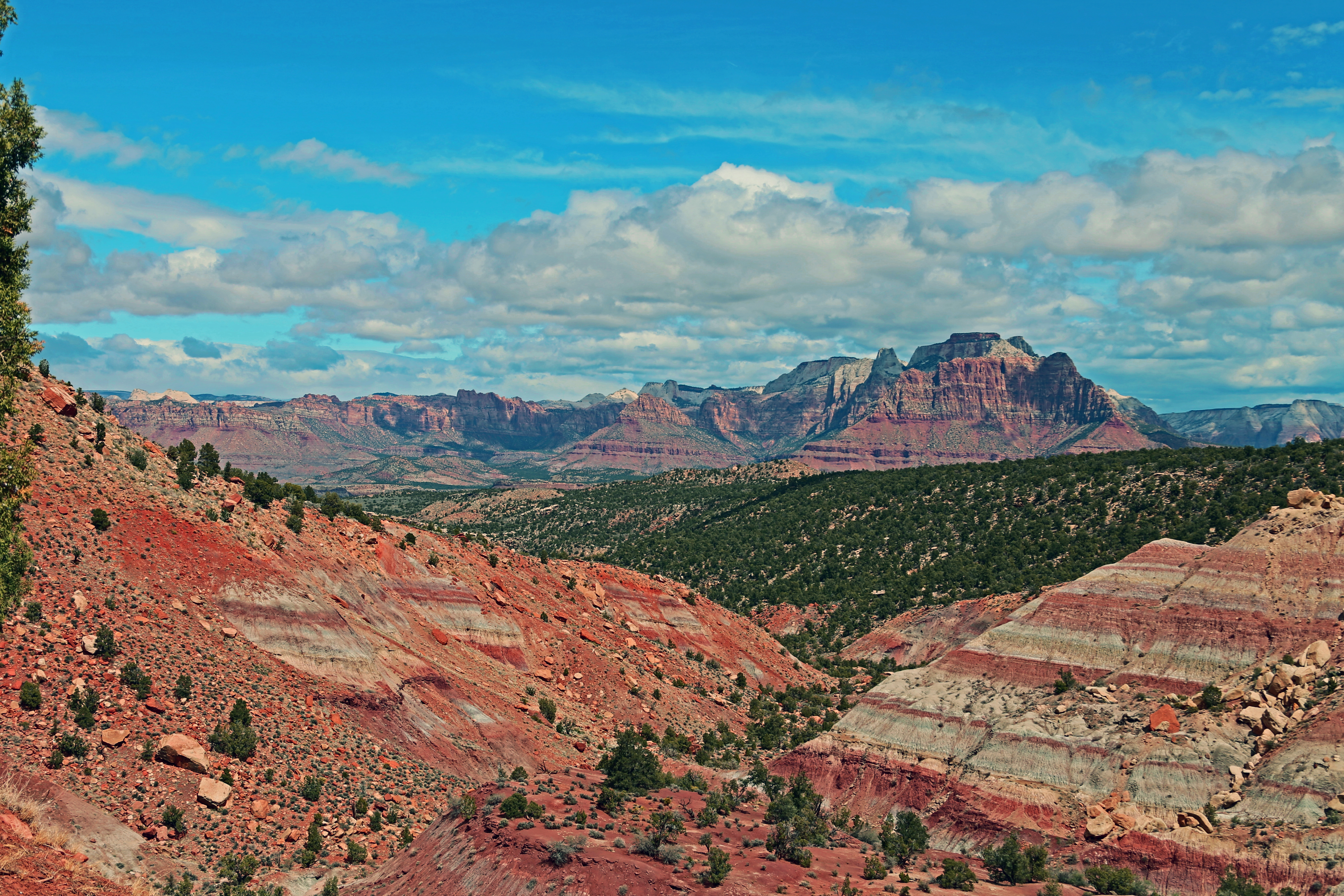
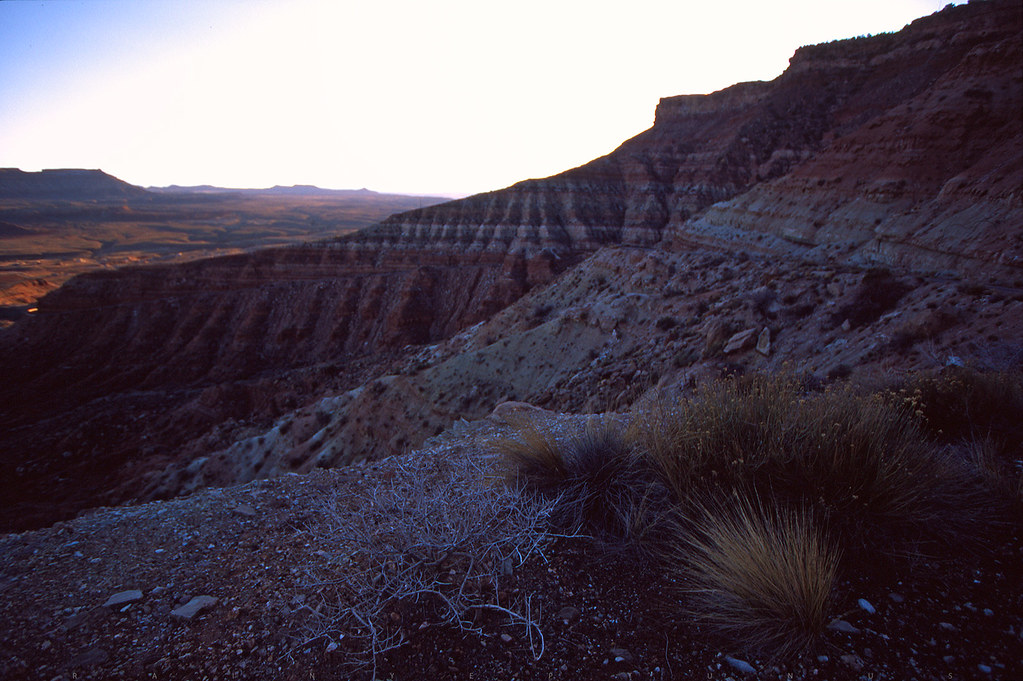
View from Smithsonian Mesa
Eagle Crags, Zion National Park
D70-0704-007 - View
Ghost Town, Pt. 1

The white Horse
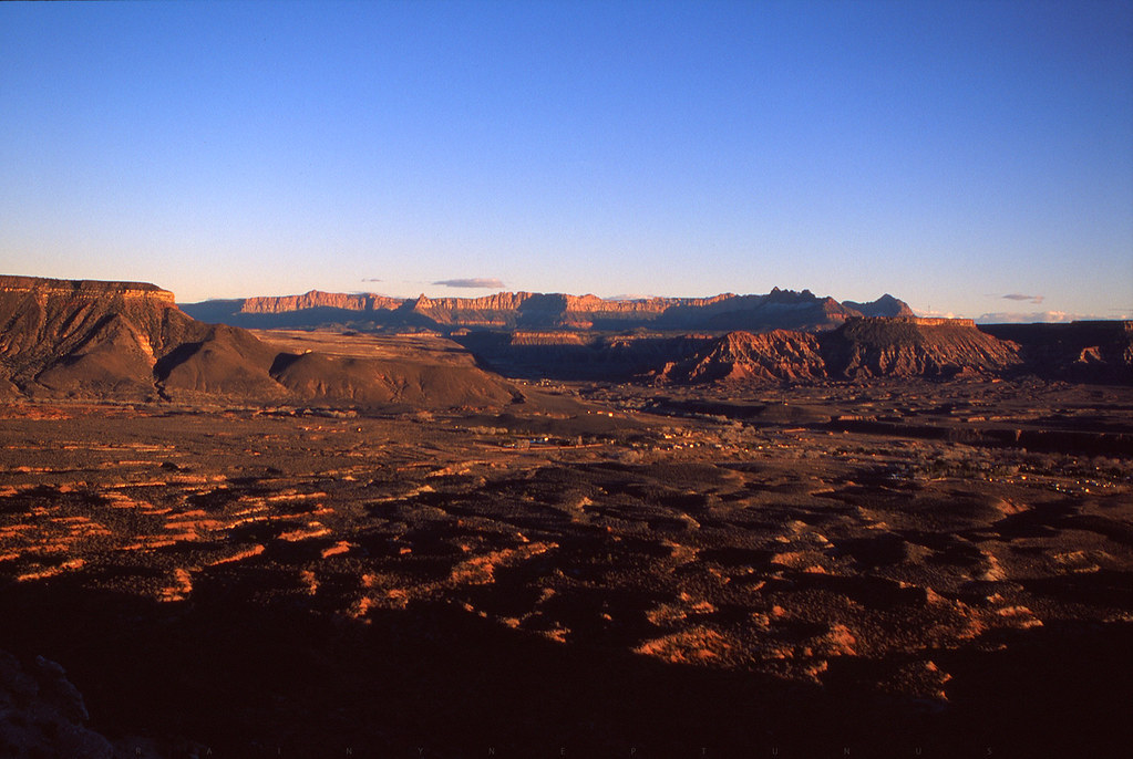
Zion from on High
Early Morning in Zion
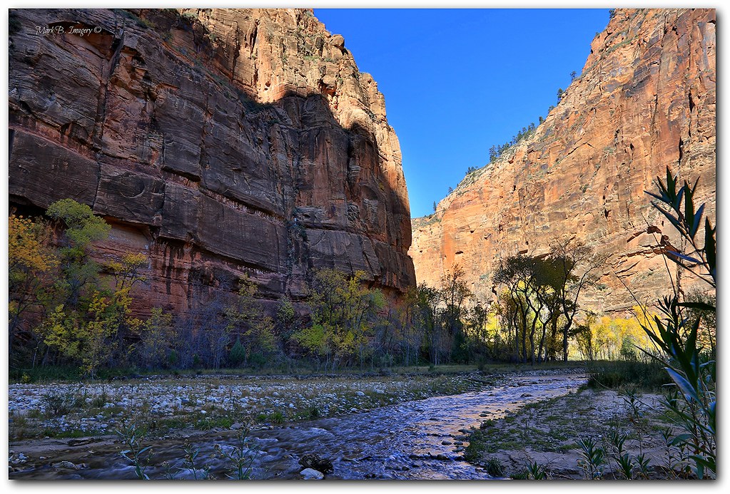
T H E ` N A R R O W S
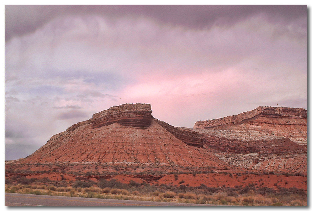
Hurricane Mesa

after thunderstorm
Hurricane Hills

09 Apr Roadtrip 60
Hurricane Cliffs
20090801-DWN_3811
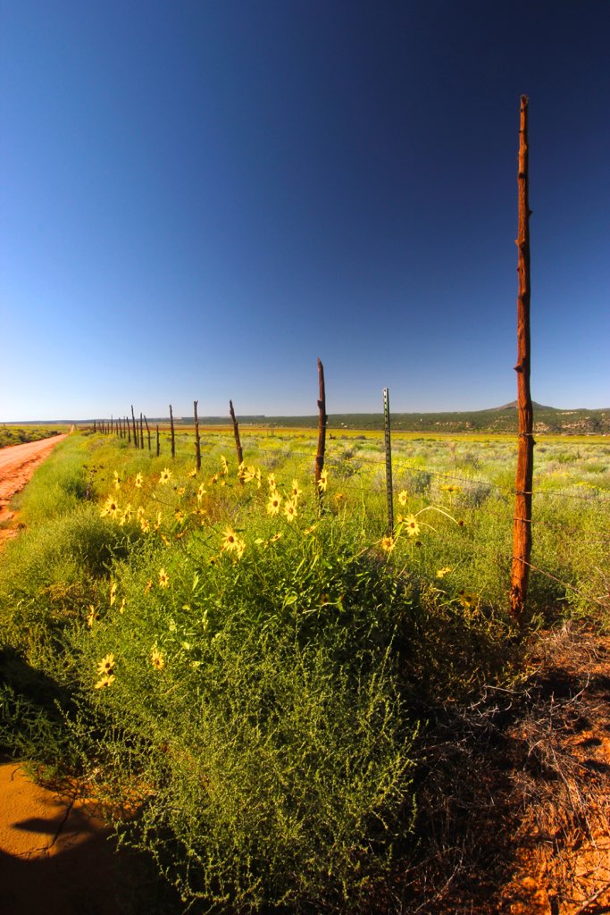
Sunflowers near Smithsonian Butte UT
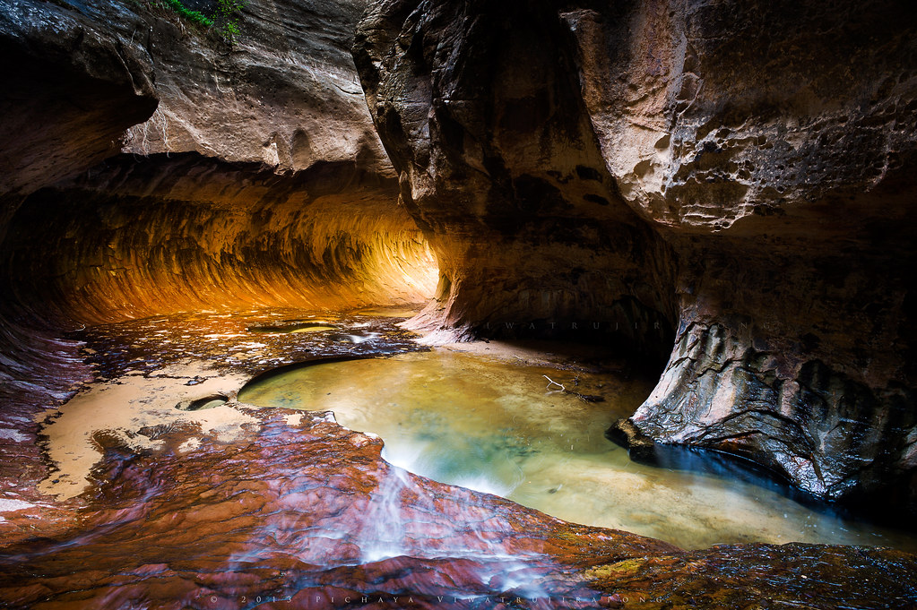
The Subway
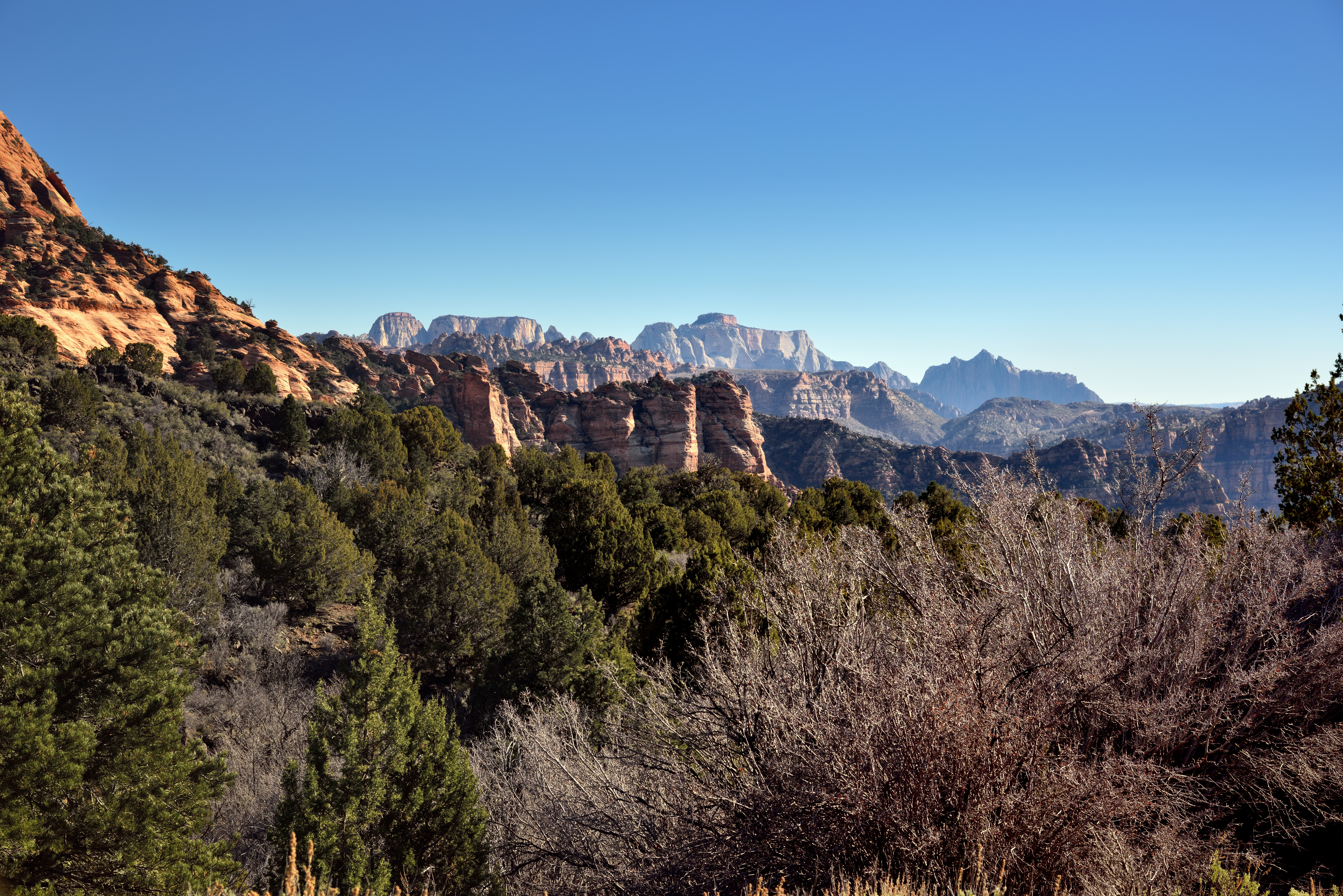
Trees and Rugged Peaks of Sandstone (Zion National Park)
I'm like ... WoW!
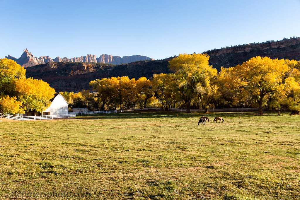
Grazing Horses, Pine Valley, UT

Gorge.

Utah 9
Topographic Map of Virgin, UT, USA
Find elevation by address:

Places in Virgin, UT, USA:
Places near Virgin, UT, USA:
62 Mill St, Virgin, UT, USA
1026 Foothill Dr
South Bench Road
Apple Valley
1703 Grafton Rd
Smithsonian Butte Road
Smithsonian Butte Road
Rockville
104 Parunuweap Cir
2400 Zion Park Blvd
Zion Canyon
Zion Park Boulevard
1215 Zion Park Blvd
Holiday Inn Express Springdale - Zion Natl Pk Area
Red Rock Inn
Zion Canyon Lodge
73 Paradise Rd
Bumbleberry Inn
Springdale
792 Zion Park Blvd
Recent Searches:
- Elevation of Corso Fratelli Cairoli, 35, Macerata MC, Italy
- Elevation of Tallevast Rd, Sarasota, FL, USA
- Elevation of 4th St E, Sonoma, CA, USA
- Elevation of Black Hollow Rd, Pennsdale, PA, USA
- Elevation of Oakland Ave, Williamsport, PA, USA
- Elevation of Pedrógão Grande, Portugal
- Elevation of Klee Dr, Martinsburg, WV, USA
- Elevation of Via Roma, Pieranica CR, Italy
- Elevation of Tavkvetili Mountain, Georgia
- Elevation of Hartfords Bluff Cir, Mt Pleasant, SC, USA