Elevation of Virajpet, Karnataka, India
Location: India > Karnataka > Kodagu >
Longitude: 75.8040022
Latitude: 12.1949851
Elevation: 907m / 2976feet
Barometric Pressure: 91KPa
Elevation Map:
Satellite Map:
Related Photos:

Ant mimic Spider with prey
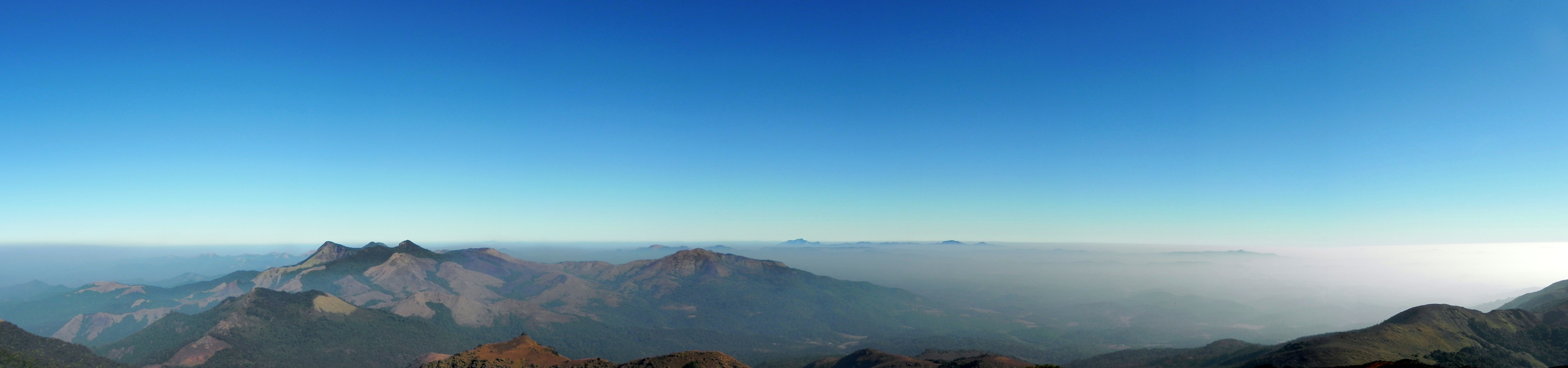
Panoramic view from Tadiyendamol Hill

View From the dry lake
1-IMG_0677
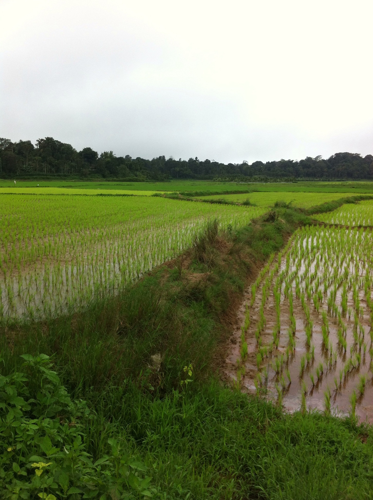
Paddy Fields

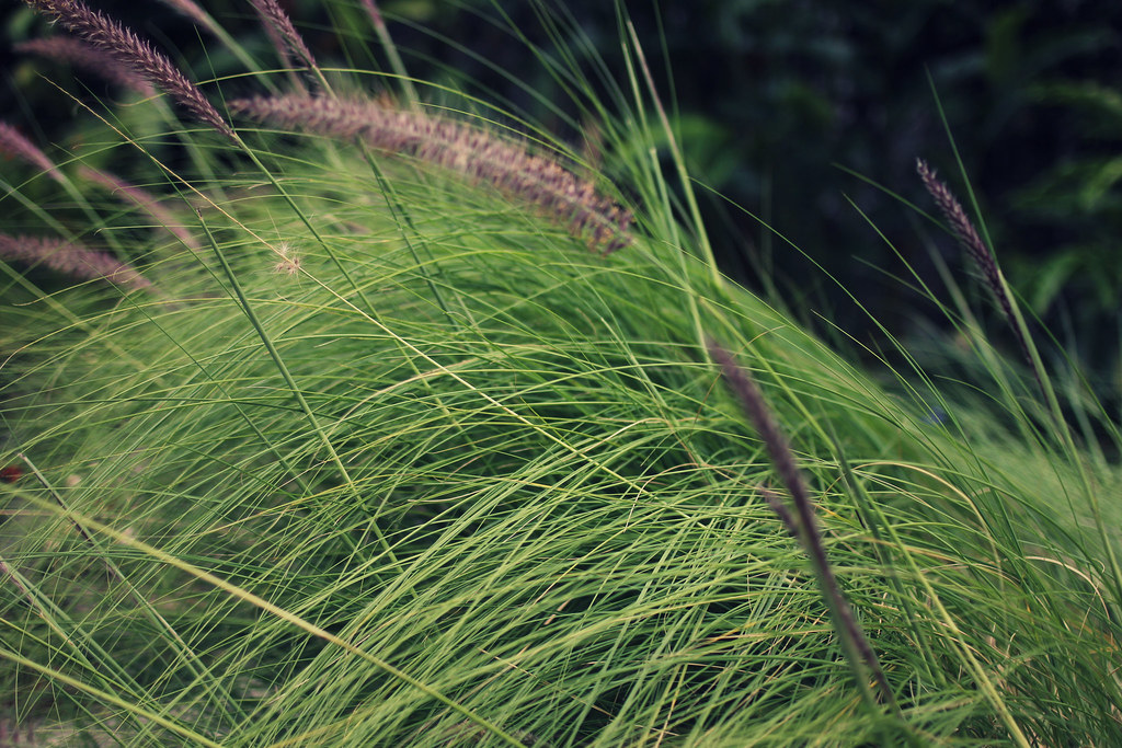
Blade of Wild Grass

Country roads take me home
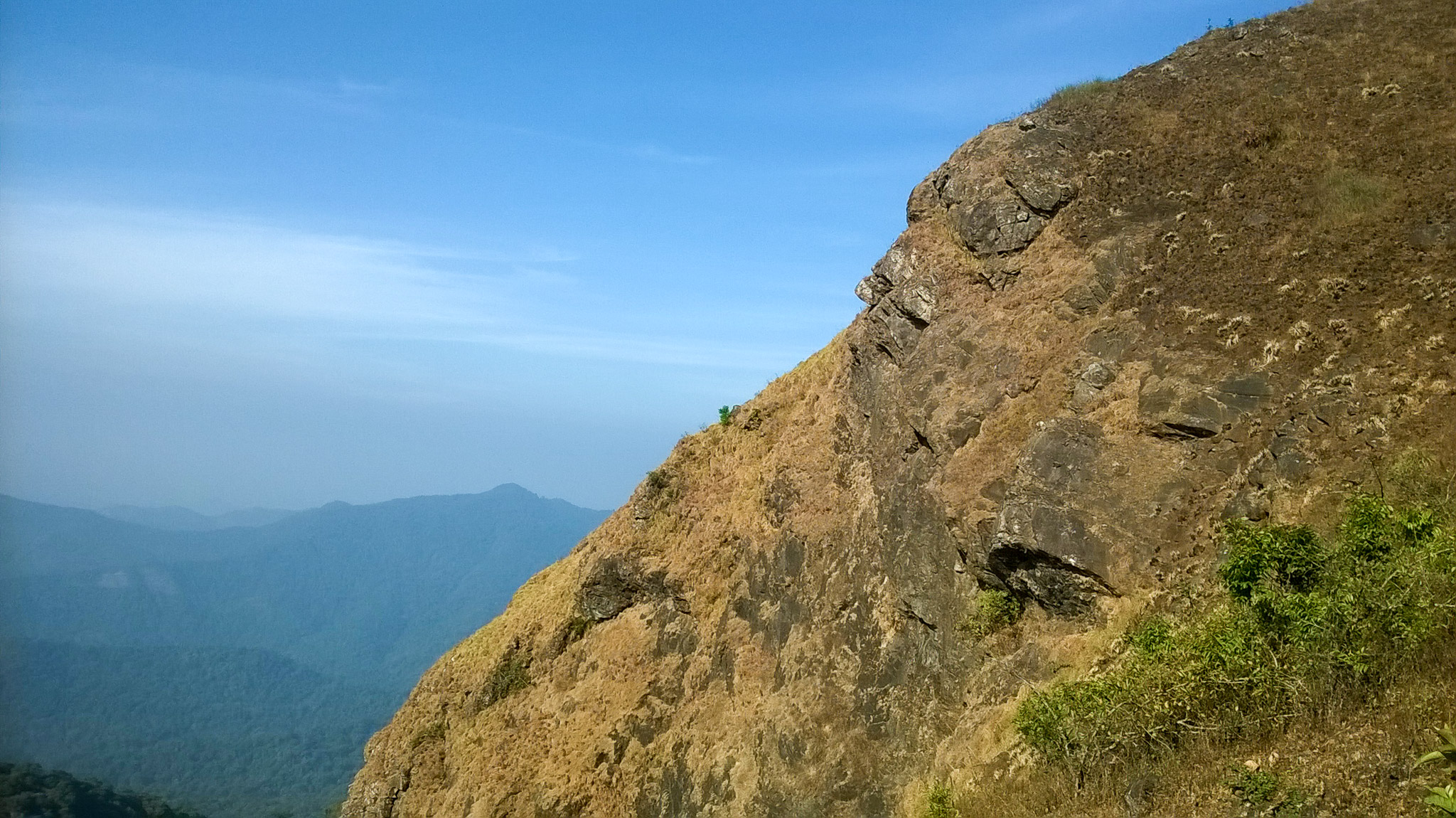
Kabbe Hills
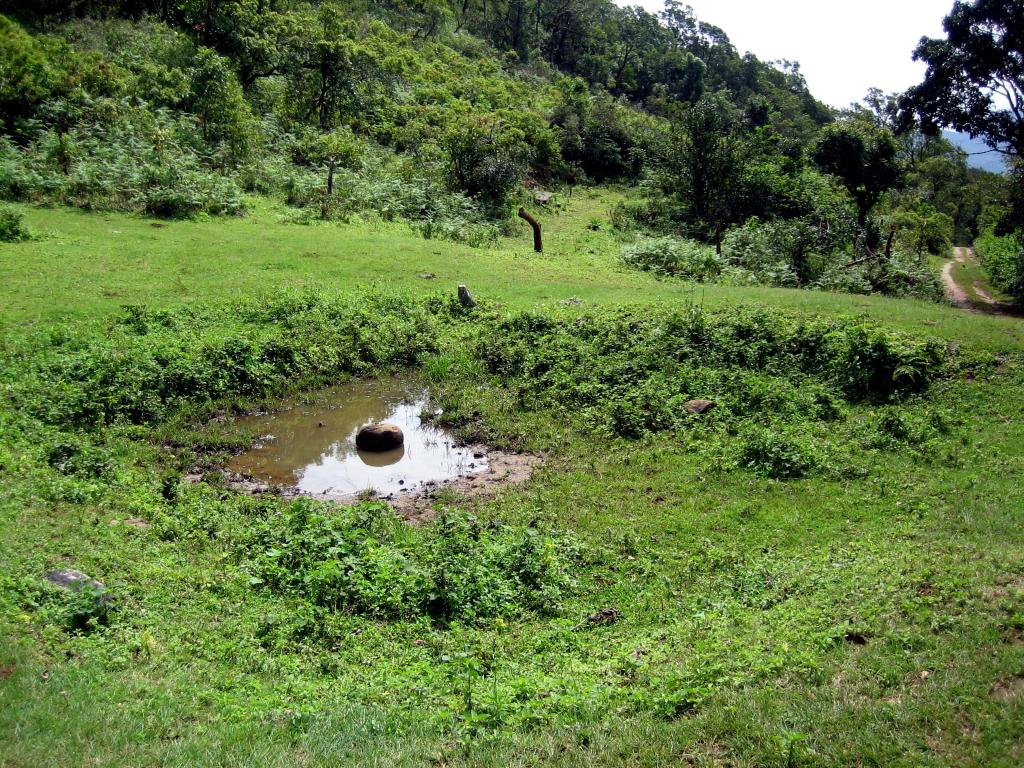
The Dry Lake
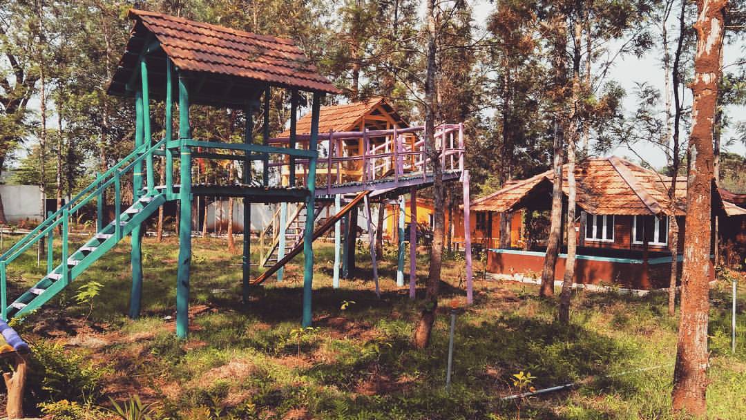
Weekend getaway...Check! #travel #explore #discover #coorgnest #kushalnagar #coorg #landscape #weekend #vacation #india #travelindia #travelingpost #instatravel #travelgram #wanderlust #history #igers #instagood #beautiful #traveldiaries #incredibleindia

Coorgies for the weekend! #travel #explore #discover #coorgnest #kushalnagar #coorg #landscape #weekend #vacation #india #travelindia #travelingpost #instatravel #travelgram #wanderlust #history #igers #instagood #beautiful #traveldiaries #incredibleindi
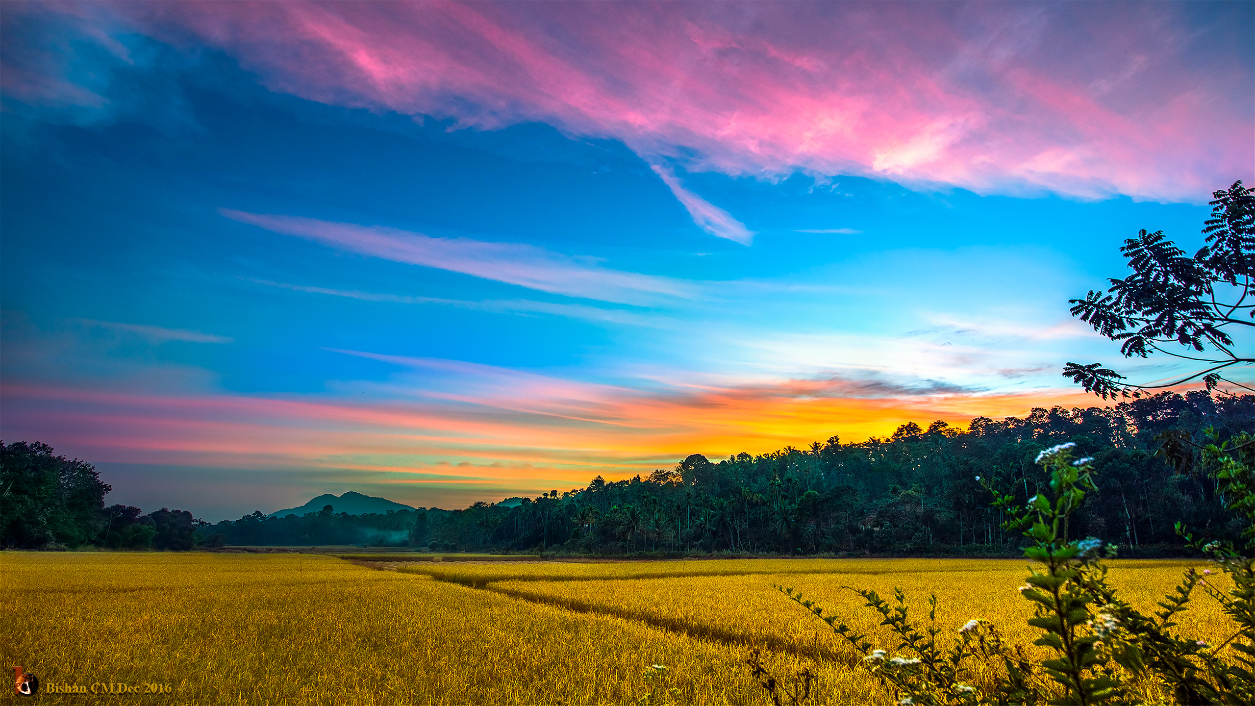
Fields-of-Gold-2560
Topographic Map of Virajpet, Karnataka, India
Find elevation by address:

Places near Virajpet, Karnataka, India:
37, Malabar Road - The Homestay
Kuklur
Bittangala
N.kolli
Bovera Orchards
Nangala
Coorg Evergreen County
Heggala Road
Club Mahindra Virajpet Resort
Mythadi
Kunjalageri
The Bliss Coorg
The Silver Oaks Resorts
Pollibetta
Halligattu
Kabbe Holidays
Kabbe Hills
Holamala Estate, Old Bungalow
The Tamara Coorg
Jungle Mount Adventures
Recent Searches:
- Elevation of Congressional Dr, Stevensville, MD, USA
- Elevation of Bellview Rd, McLean, VA, USA
- Elevation of Stage Island Rd, Chatham, MA, USA
- Elevation of Shibuya Scramble Crossing, 21 Udagawacho, Shibuya City, Tokyo -, Japan
- Elevation of Jadagoniai, Kaunas District Municipality, Lithuania
- Elevation of Pagonija rock, Kranto 7-oji g. 8"N, Kaunas, Lithuania
- Elevation of Co Rd 87, Jamestown, CO, USA
- Elevation of Tenjo, Cundinamarca, Colombia
- Elevation of Côte-des-Neiges, Montreal, QC H4A 3J6, Canada
- Elevation of Bobcat Dr, Helena, MT, USA